Hidden places near Karimpuzha
This guide showcases scenic outdoor escapes within 40 kilometres of Karimpuzha, tracing the forested foothills and border ridges where Kerala meets Tamil Nadu. It suits road trippers, nature lovers, and weekend wanderers looking for fresh mountain air, quiet rivers, and forest walks.
Top outdoor spots near Karimpuzha
The boundary area between Palakkad district in Kerala and the Coimbatore region in Tamil Nadu holds varied landscapes within a short drive of Karimpuzha. Among the most frequented sites is the Kovai Kutralam Water Falls Entry Fee Counter near Sadivayal, which serves as the official forest gateway and starting point for those heading towards the cascades. At the falls itself, Kovai Kutralam Water Falls near Seengapathi, mountain streams fed by the Siruvani river flow through dense reserve forests of the Western Ghats. For sweeping open vistas, Nallasinga hills view point near Sholayur offers an elevated perspective where ridge trails pass directly beneath wind turbines along the state border. Those seeking a relaxed stop close to water often pause at Chittoor river view near Agali, where clear waters glide past the foothills. Along the approach from the plains, Kovai Kutralam Road winds through protected forest reserves, offering a peaceful drive filled with cool breezes and mountain scenery.
Landscape and natural surroundings
The geography surrounding Karimpuzha transitions rapidly from lush lowland greenery to the rugged slopes of the Western Ghats. Moving eastward toward Agali and Sholayur, the terrain rises into rolling highlands marked by windy gaps, river valleys, and isolated forested tracts. The region acts as a natural bridge between the wetter tropical climate of Kerala and the rain-shadow expanses of western Tamil Nadu. Rivers originating in these hills, including networks tied to the Siruvani, maintain refreshing water flows that sustain dense riverine belts and rich biodiversity. Forested reserves safeguard large stretches of these foothill corridors, creating an environment shaped by running water, native woodlands, and breezy ridge lines.
Best time to visit
The post-monsoon and winter months, typically spanning from October through February, provide the most comfortable weather for exploring the area. During this window, mountain streams and waterfalls carry substantial volume, while the surrounding forests remain vibrant and green. Daytime temperatures in the higher elevations near Sholayur and Agali stay moderate, accompanied by steady breezes across the hilltops. The southwest monsoon brings heavier rainfall from June to September, which enriches the vegetation and cascades but may make forest trails slippery and river currents swift. Summers tend to be warm and dry, making early morning visits preferable for viewpoints and outdoor walks.
Tips for your trip
When planning a visit to these spots, keep in mind that several locations sit within or near protected forest reserves and inter-state border zones. Because operational schedules, vehicle entry regulations, and access requirements can change based on forest department guidelines or seasonal weather conditions, it is wise to check details locally before setting out. Sturdy footwear is recommended if you plan to walk forest trails or explore riverbanks with damp rocks. Carry sufficient drinking water and snacks, as facilities along rural stretches and viewpoints can be sparse. Respect the natural habitat by taking all trash back with you and avoiding loud noise, especially around reserve boundaries and quiet riverbanks.
Where to stay
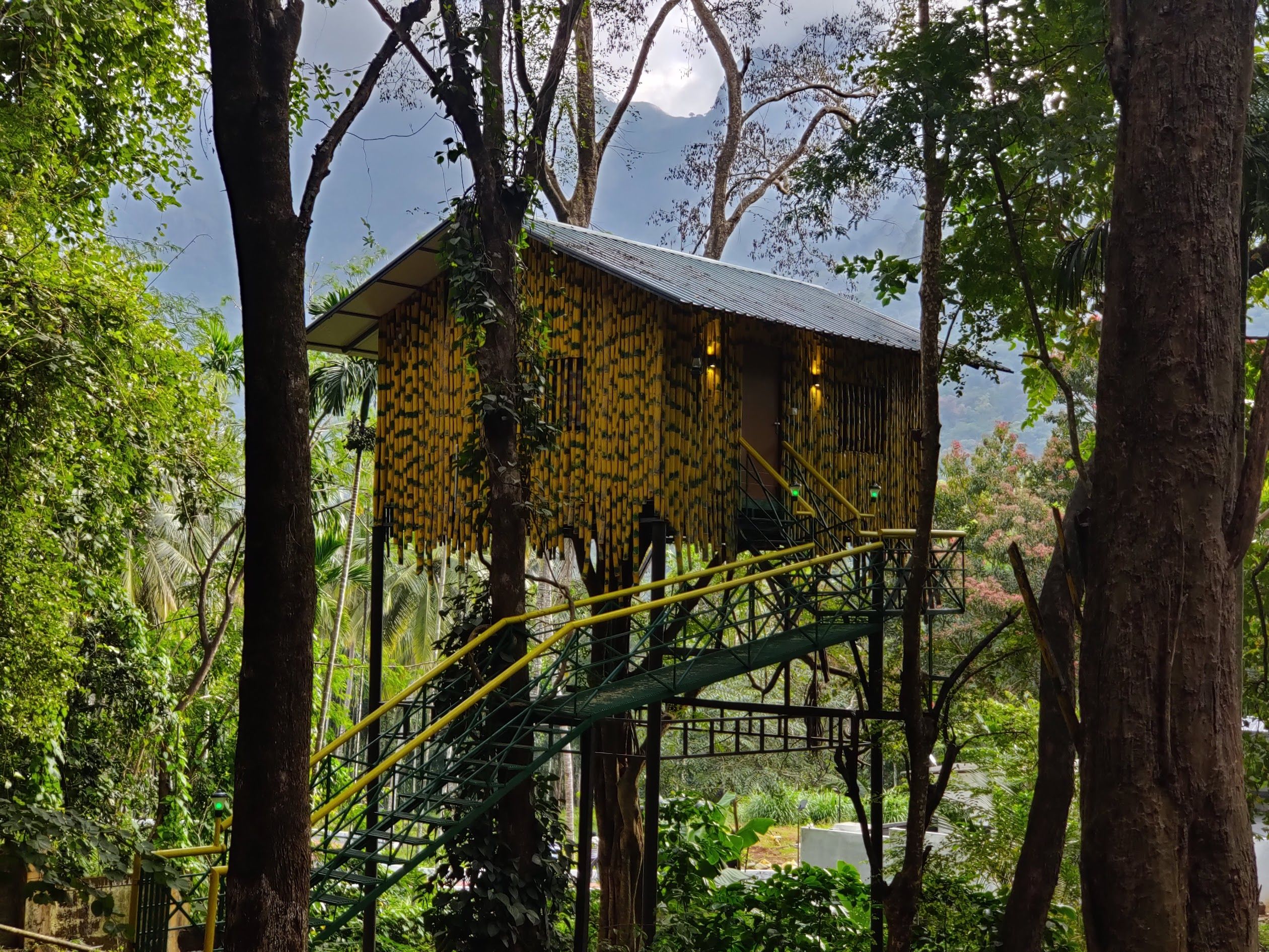
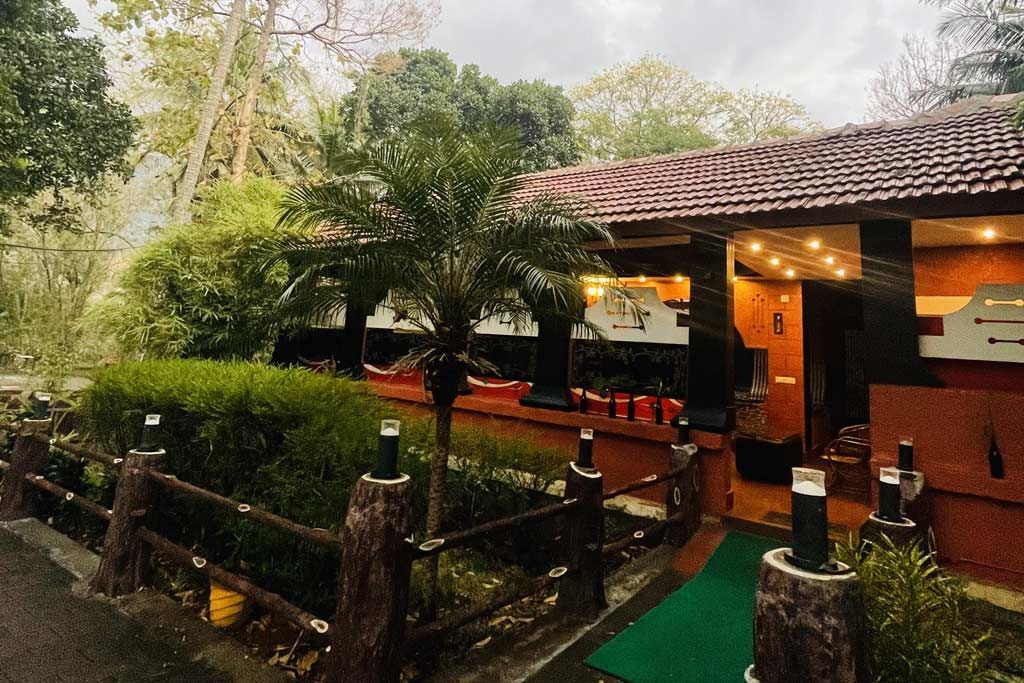
Travellers looking to spend a few days exploring the borderlands around Karimpuzha will find several comfortable lodging options spread throughout the rural belts and foothills. Stays in this region range from secluded plantation homestays to nature retreats set against the Western Ghats. Camps, homestays and other stays nearby can be found on HireACamp, giving you a peaceful base to rest after a day spent visiting breezy viewpoints, riverbanks, and woodland paths.
Written with AI from creators' posts and map data. Check prices and timings locally before you go.
5 places · 9 creator recommendations · Updated today
Ranked by how many independent creators recommend each place, not by who paid. The list updates itself as new posts come in.


Frequently asked questions
What should visitors expect at Nallasinga hills view point?
Located near Sholayur along the Kerala and Tamil Nadu border, Nallasinga hills view point features open ridge walks beneath large windmills. Visitors can experience sweeping panoramas of the surrounding mountain valleys and brisk winds along the slopes.
Where is Kovai Kutralam Water Falls located?
Kovai Kutralam Water Falls is situated near Seengapathi within the Western Ghats reserve forest, roughly 29 kilometres from Karimpuzha. The falls are fed by the Siruvani river network and are reached via the forest checkpoint at Sadivayal.
Is Chittoor river view easily accessible for travellers?
Yes, Chittoor river view is located near Chittoor Bridge in the Agali region of Kerala along the foothills of the Western Ghats. It offers a convenient, peaceful pause beside clear flowing water for travellers passing between Palakkad and Coimbatore.
What is the best season to explore outdoor locations around Karimpuzha?
The cooler months from October to February are generally ideal, offering pleasant weather, green landscapes, and steady water flow in regional streams. The monsoon months bring lush vegetation but also heavier rains, so trail conditions should be assessed locally.
Are there entry formalities needed for Kovai Kutralam?
Visitors to Kovai Kutralam pass through the Kovai Kutralam Water Falls Entry Fee Counter near Sadivayal before continuing along the woodland trail. Because access guidelines and schedules are managed by forest authorities, travellers should confirm entry rules locally before arriving.
Stays near Karimpuzha
Make a trip of it