
Doddabetta Peak
Peak near Ketti, Tamil Nadu
1 post
Guide from 1 post by 1 creator
@explor_with_alam
3.9 km from Ketti
The nearest town, for stays, food and fuel.
Doddabetta Peak is the highest mountain summit in the Nilgiri Hills, situated just outside the hill town of Ooty in Tamil Nadu. Rising prominently above the surrounding plateau, it offers panoramic vistas across rolling valleys, dense shola forests, and sweeping tea estates. Travellers visit the summit to take in broad horizons across the Western Ghats and experience the crisp mountain air of the Nilgiris.
Getting there
By road
- From KettiNearest town21 min · 9.1 km
- From Ooty45 min · 17 km
- From Coimbatore2 hr 45 min · 92 km
- From Mysuru3 hr 55 min · 134 km
By train, bus or air
- UdagamandalamNearest railway station28 min · 9.6 km
- ATC Bus StandNearest bus stand24 min · 8.1 km
- Coimbatore International AirportNearest airport2 hr 55 min · 94 km
Typical drive times without traffic. Stations and airports from OLA Maps; distances and typical drive times from OLA Maps and OpenStreetMap (© OpenStreetMap contributors); notes from creators' Reels.
About Doddabetta Peak
Written with AI from creators' posts and map data. Check prices and timings locally before you go.
About Doddabetta Peak
Doddabetta Peak stands as the crowning summit of the Nilgiri mountain range in western Tamil Nadu. The name Doddabetta comes from the regional Badaga language and translates directly to "big mountain," a fitting title for the highest vantage point in the district. Sitting at the junction of the Western and Eastern Ghats ecosystems, the peak provides an elevated perspective over the undulating Nilgiri plateau and the distant plains below.
The mountain has long been an essential orientation point for indigenous communities and hill travellers alike. Today, it serves as a central destination for people visiting Ooty and Coonoor who want to appreciate the sheer scale of the highland terrain. On clear mornings, the vantage point reveals vast stretches of forested ridges, terraced farmland, and tea plantations that terrace the steep slopes.
The Landscape and Natural Environment
The slopes surrounding Doddabetta Peak feature a combination of montane evergreen forests, known locally as sholas, interspersed with high-altitude grasslands. These fragile ecosystems harbour distinctive plant species, including native rhododendrons, alpine shrubs, and extensive patches of introduced eucalyptus and pine trees. The shola groves play an essential ecological role in retaining rainwater and feeding the streams that sustain regional water catchments.
Wildlife in the broader Nilgiri biosphere includes species such as the Nilgiri tahr, barking deer, diverse birdlife, and occasional langurs that frequent the forested tree line. While high visitor activity around the summit keeps larger animals away from the roads during daylight hours, the surrounding reserve forests preserve a rich, quiet habitat. Cool breezes sweep over the open summit ridge constantly, often carrying mist that wraps the landscape in soft white clouds within minutes.
Read more
Things to Do at Doddabetta Peak
The main attraction of Doddabetta Peak is walking the paths around the summit area to take in 360-degree views of the Nilgiri Hills. A popular vantage pavilion with viewing equipment has historically stood near the top, allowing travellers to look deep into the valleys, spot distant landmarks, and observe the distant plains on clear days.
Photography is another highlight, particularly in early morning hours when shifting light cuts through low-lying mist and illuminates the tea gardens below. Beyond admiring the view, visitors often browse the small regional stalls near the vehicle drop-off area that sell locally harvested Nilgiri spices, fresh carrots, eucalyptus oils, and hot tea. The leisurely ascent along the approach road also makes for an enjoyable drive flanked by tall stands of eucalyptus and pine trees.
Best Time to Visit Doddabetta Peak
The best time to visit Doddabetta Peak is during the post-monsoon and winter months, from October through March. During this period, the sky is predominantly clear, allowing for long-distance visibility across the surrounding ranges. Daytime temperatures remain pleasant, though mornings and late afternoons can turn brisk and chilly.
Summer, spanning from April to June, brings warm and mild weather that attracts visitors looking to escape the heat of the plains. While visibility is generally reliable, afternoons can become hazy. The monsoon season, which runs from July to September, transforms the surrounding hills into deep shades of green. However, heavy rains and continuous thick cloud cover frequently obscure the views from the peak during this window. If visiting during the monsoon, check local weather updates to gauge visibility before heading up.
How to Reach Doddabetta Peak
Doddabetta Peak is accessible by road from the town of Ooty via a winding hill route that branches off the main Ooty to Kotagiri highway. The approach road navigates through thick woods and slopes lined with plantations before terminating at the summit parking zone.
If travelling from Coimbatore, the journey is approximately 92 kilometres and takes around 2 hours and 50 minutes under typical traffic conditions, ascending through the ghat roads via Mettupalayam. From Mysuru, the drive covers about 134 kilometres and takes roughly 3 hours and 50 minutes, passing through the wildlife reserves along the state boundary. Travellers starting from Bengaluru face a road trip of roughly 278 kilometres, which generally takes about 6 hours and 10 minutes.
Those coming from southern Tamil Nadu can reach the peak from Madurai, a distance of around 298 kilometres that takes about 6 hours and 30 minutes by road. From Kochi in Kerala, the driving route spans approximately 280 kilometres and takes close to 7 hours. Travel times can vary significantly depending on weekend tourist movement, seasonal rains, and ghat road traffic.
Tips for Planning Your Visit
Because of its elevation, Doddabetta Peak tends to be significantly cooler and windier than downtown Ooty. Bringing a warm sweater, fleece, or windbreaker is strongly recommended, especially in the early mornings or late afternoons. Sturdy, comfortable walking shoes are also practical for walking along the paved slopes and stairs around the viewpoint.
Traffic along the final stretch of the summit road can build up during weekends and regional holidays. Arriving earlier in the day often allows for smoother driving, easier parking, and clearer morning views before afternoon clouds roll in. Carry a reusable water bottle and take care to dispose of all waste in designated bins, as the Nilgiris strictly enforce plastic minimization to safeguard the surrounding reserve forests.
Places to Visit Near Doddabetta Peak
A trip to Doddabetta Peak can easily be combined with other natural attractions across the Nilgiri plateau. Towards Coonoor, viewpoints such as Lamb's Rock, located roughly 12 kilometres away in a direct line, and Dolphin's Nose Road, about 11 kilometres away, offer dramatic perspectives over deep gorges, tea estates, and cascading water.
Heading northwest past Ooty brings you towards Pykara Lake and Pykara Waterfall, both approximately 16 kilometres away, where visitors can enjoy boating and forested shoreline walks. Farther west along the Gudalur road lies Needle Rock View Point, roughly 26 kilometres away, renowned for its panoramic look over the Mudumalai plains. Down near the southern foothills, Black Thunder Water Theme Park is situated about 21 kilometres away near Mettupalayam.
Where to Stay Near Doddabetta Peak
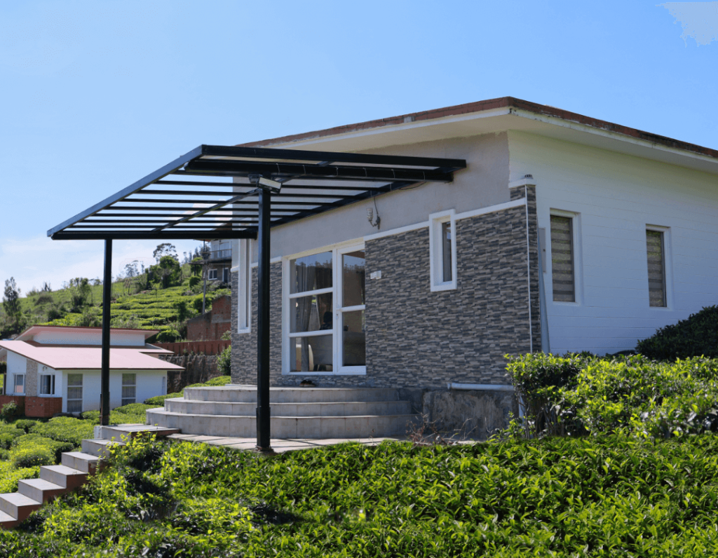
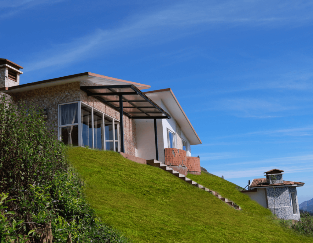
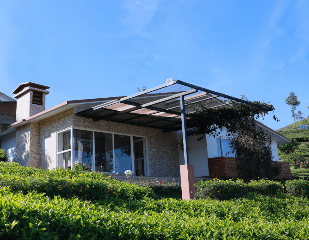
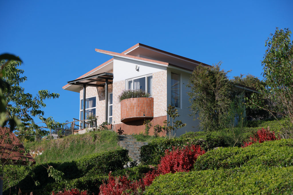
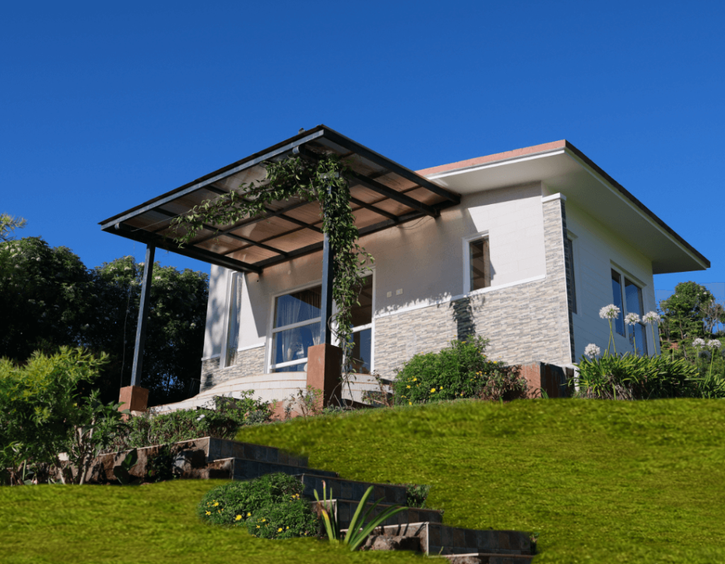
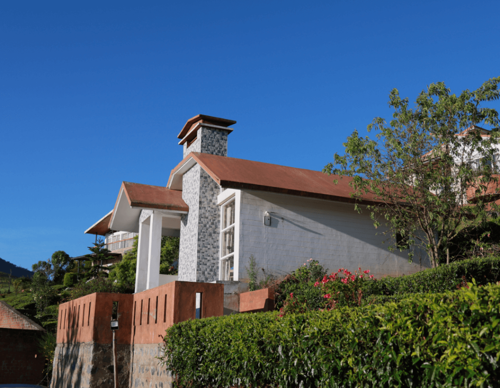
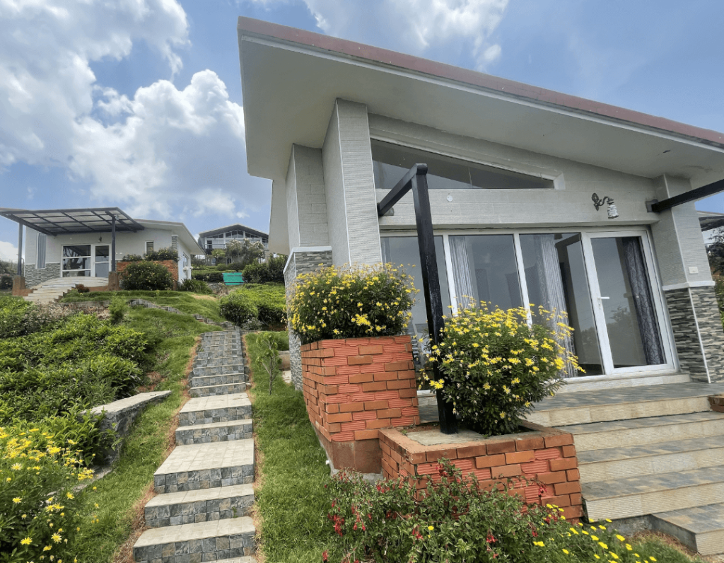
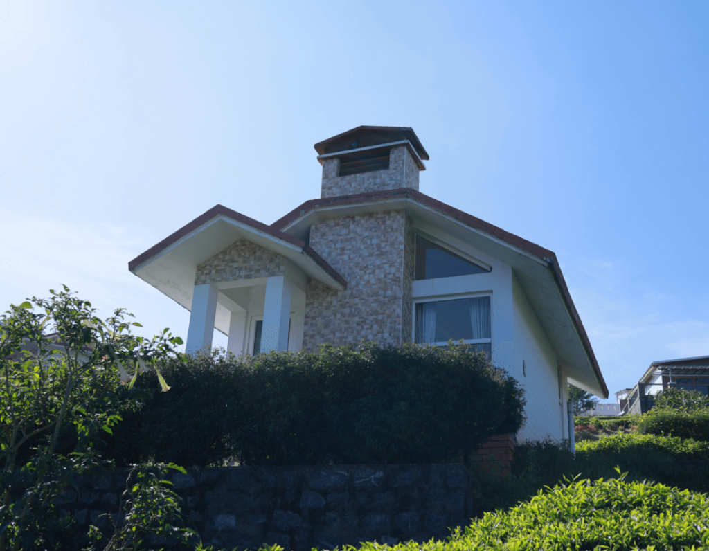
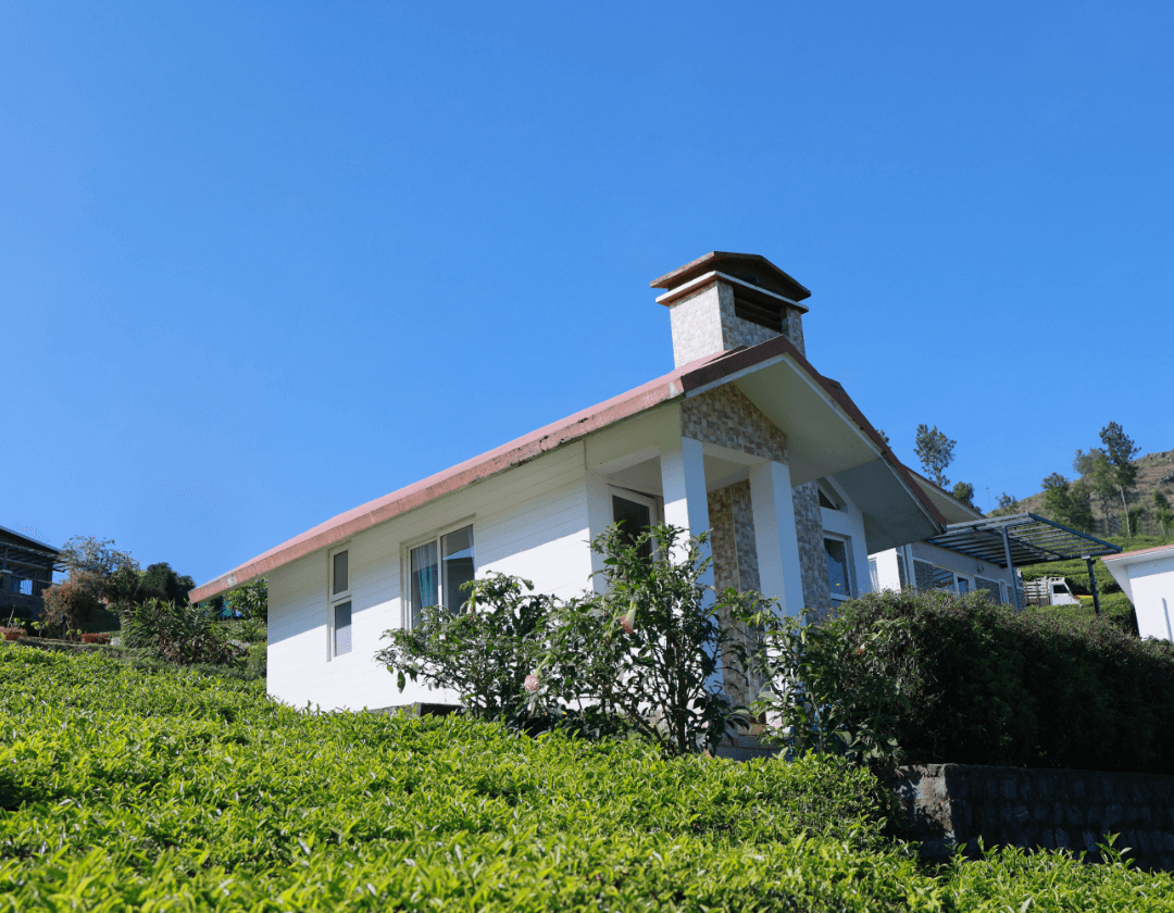
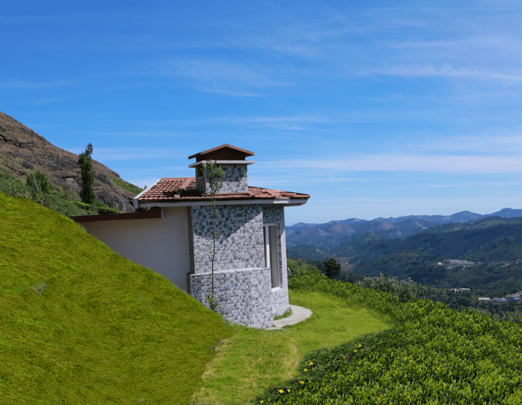
Travellers visiting Doddabetta Peak have a wide range of accommodation choices spread across Ooty, Coonoor, Kotagiri, and the quieter rural valleys between them. Staying closer to Ooty allows quick access to town amenities, transport links, and dining options, while staying on the outskirts or near surrounding tea estates offers quieter natural environments surrounded by plantations and birdlife.
Those seeking outdoor experiences, nature retreats, plantation stays, and rural homestays in the Nilgiris can discover and book a variety of options on HireACamp. Staying at an experiential base nearby allows you to enjoy cool mountain mornings and start your drive to the summit before peak road traffic begins.
Frequently asked questions
Where is Doddabetta Peak located?
Doddabetta Peak is situated in the Nilgiri district of Tamil Nadu, located a short drive east of the town of Ooty.
What is Doddabetta Peak famous for?
It is famous for being the highest mountain summit in the Nilgiris, providing broad panoramic views across surrounding forested ridges, tea plantations, and the plains.
What kind of clothing should I wear when visiting?
Because the summit is exposed to brisk mountain winds, it is advisable to wear warm layers such as a light jacket, fleece, or shawl, even on bright days.
Can Doddabetta Peak be visited during the monsoon?
Yes, but monsoon months often bring heavy rainfall, mist, and persistent cloud cover that can completely block long-distance views from the top.
Are there entry fees or set visiting hours for Doddabetta Peak?
Operational hours and access policies can change periodically based on district administration guidelines, so check locally in Ooty before you travel.
Where you'll be
Doddabetta Peak, Ooty, Tamil Nadu 643002 · 10 stays nearby shown with prices
As seen on Instagram
The posts this guide is built from
Stays near Doddabetta Peak
Book a place to stay close by
Often visited together
Creators who went here also showed these


More places near Doddabetta Peak
Within 20 km


Lists for this area
Ranked by how many creators recommend each place


Built from 1 Instagram post by 1 creator. Every tip links back to the post it came from, and where creators disagree we show both sides.






