
Duke's Nose Trail
Viewpoint near Khandala, Maharashtra
1 post
Guide from 1 post by 1 creator
@rohitspovyt
2.9 km from Khandala
The nearest town, for stays, food and fuel.
Duke's Nose Trail is a prominent hiking route and cliff viewpoint located near Kurvande village near Lonavala in Maharashtra. Named after the Duke of Wellington due to its pointed rock profile, the cliff is also known locally as Nagphani for its resemblance to a raised cobra hood. Outdoor enthusiasts visit the trail to hike through the Sahyadri mountains and take in wide panoramic views of the Khandala valley, deep gorges, and surrounding plateaus.
Getting there
By road
- From KhandalaNearest town24 min · 10 km
- From Lonavala35 min · 16 km
- From Pune1 hr 40 min · 73 km
- From Mumbai 2 hr · 93 km
By train, bus or air
- KhopoliNearest railway station42 min · 18 km
- Lonavala ST StandNearest bus stand16 min · 5.8 km
- Chhatrapati Shivaji Maharaj International Airport MumbaiNearest airport2 hr 10 min · 91 km
Typical drive times without traffic. Stations and airports from OLA Maps; distances and typical drive times from OLA Maps and OpenStreetMap (© OpenStreetMap contributors); notes from creators' Reels.
About Duke's Nose Trail
Written with AI from creators' posts and map data. Check prices and timings locally before you go.
About Duke's Nose Trail
Duke's Nose Trail leads to one of the most distinctive geological formations in the Western Ghats of Maharashtra. Rising steeply above the Konkan plains and the Mumbai-Pune highway corridor, the rock spur has long served as a natural landmark in the region. The British named it after Arthur Wellesley, the Duke of Wellington, whose profile the cliff resembles when viewed from a distance. Locally, the cliff is referred to as Nagphani because the tapering, overhanging pinnacle mirrors the shape of a cobra's hood.
The trail begins near the settlement of Kurvande, just outside Lonavala, and gradually climbs across undulating terrain before reaching the exposed rocky ridge. From the summit, visitors can look down upon the sweeping forested ravines of Khandala, the railway tracks cutting through mountain tunnels, and sprawling valley bottoms. At the very edge sits a small shrine dedicated to Lord Shiva, which often serves as the final marker for hikers reaching the viewpoint.
Hiking the trail to the summit
The trek to Duke's Nose is generally considered moderate and is accessible to both beginners and regular hikers. The path winds through scrub forests, open grasslands, and loose gravel paths before emerging onto the broad plateau that approaches the base of the nose. Along the way, the gradual gain in elevation reveals expanding views of the surrounding hills and nearby reservoirs.
The final stretch involves ascending a narrower, rocky spine that requires careful footing, especially where the ridge drops sharply on either side. Hikers must navigate natural rock steps and occasional boulder patches to reach the flat terrace near the shrine. On days with strong winds, navigating this ridge requires extra caution. The entire walking time usually spans a couple of hours each way depending on your pace and the number of stops you make to admire the scenery.
Read more
Best time to visit Duke's Nose Trail
The atmosphere along Duke's Nose Trail changes noticeably across the seasons. The monsoon months, from late June to September, bring heavy rainfall that turns the entire landscape vivid green. During this time, cascading seasonal runoffs form across the rock walls, and low-hanging clouds often envelop the ridge. While the rainy season is exceptionally scenic, the trail can become slick with mud and wet stone, requiring sturdy footwear and extra attention on steep sections.
The period from October to February is widely considered the ideal window for hiking. During the post-monsoon and winter months, the skies clear up, daytime temperatures are comfortable, and visibility across the Khandala valley is at its sharpest. Cool breezes sweep over the open plateau, making the exposed sections pleasant to traverse. The summer months from March to May can be quite warm and dry, so visitors choosing to hike during this window should start early in the morning to finish before the midday heat sets in.
How to reach Duke's Nose Trail
Duke's Nose Trail is situated near Kurvande, a short drive from the hill town of Lonavala. The trailhead can be accessed by road from major cities in Maharashtra and Gujarat. From Pune, the journey covers roughly 73 km and typically takes around 1 hour and 40 minutes in traffic-free conditions. From Mumbai, the distance is about 93 km, taking roughly 2 hours by road via the expressway.
Travellers driving from Nashik face a route of around 206 km, which usually takes about 4 hours and 50 minutes. Those arriving from Surat have a longer drive of about 359 km, taking approximately 7 hours and 50 minutes under normal conditions. Lonavala railway station is well connected to Mumbai and Pune with regular suburban and express trains. From Lonavala station, local taxis or auto-rickshaws can take you to the base area near Kurvande village where the walking trail begins.
Tips for your visit
Because the trail is mostly exposed once you clear the initial tree line, carrying adequate sun protection is important, especially outside the monsoon months. A hat, sunglasses, and high-SPF sunscreen will help you stay comfortable under the sun. You should also bring sufficient drinking water and light energy snacks, as there are no permanent shops or commercial facilities once you leave the base village.
Wear hiking shoes or sneakers with dependable grip, as the trail features gravel paths, exposed rock faces, and uneven ground. If you are hiking during the rainy season, pack your electronics in waterproof pouches and carry a rain jacket or poncho. Keep a safe distance from cliff edges when taking photos, particularly when sudden gusts of wind hit the ridge. It is always wise to check locally with village residents about ground conditions before heading out.
Places to visit nearby
Visitors planning a day out around Duke's Nose can easily explore other natural and historical attractions nearby. The quiet hill station settlement of Khandala is only about 3 km away, offering classic vantage points and quiet lanes. Bhushi Dam and the scenic Lonavala Lake Waterfall are also around 3 km from the area, serving as popular spots to experience flowing water during the monsoon.
Lonavala Lake sits roughly 4 km away, while Lion Point and Rajmachi Point are both about 4 km distant, each providing unique vantage points over contrasting sides of the Ghats. Waterfall enthusiasts can look toward the trailhead for Kataldhar waterfall parking, located roughly 10 km away. For those interested in regional history and architecture, the rock-cut Karla Caves and the prominent hilltop fortification of Lohagad Fort are both approximately 12 km from the area, while the expansive waters of Pawna Lake lie around 14 km away.
Where to stay
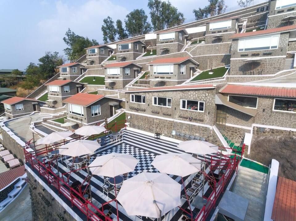
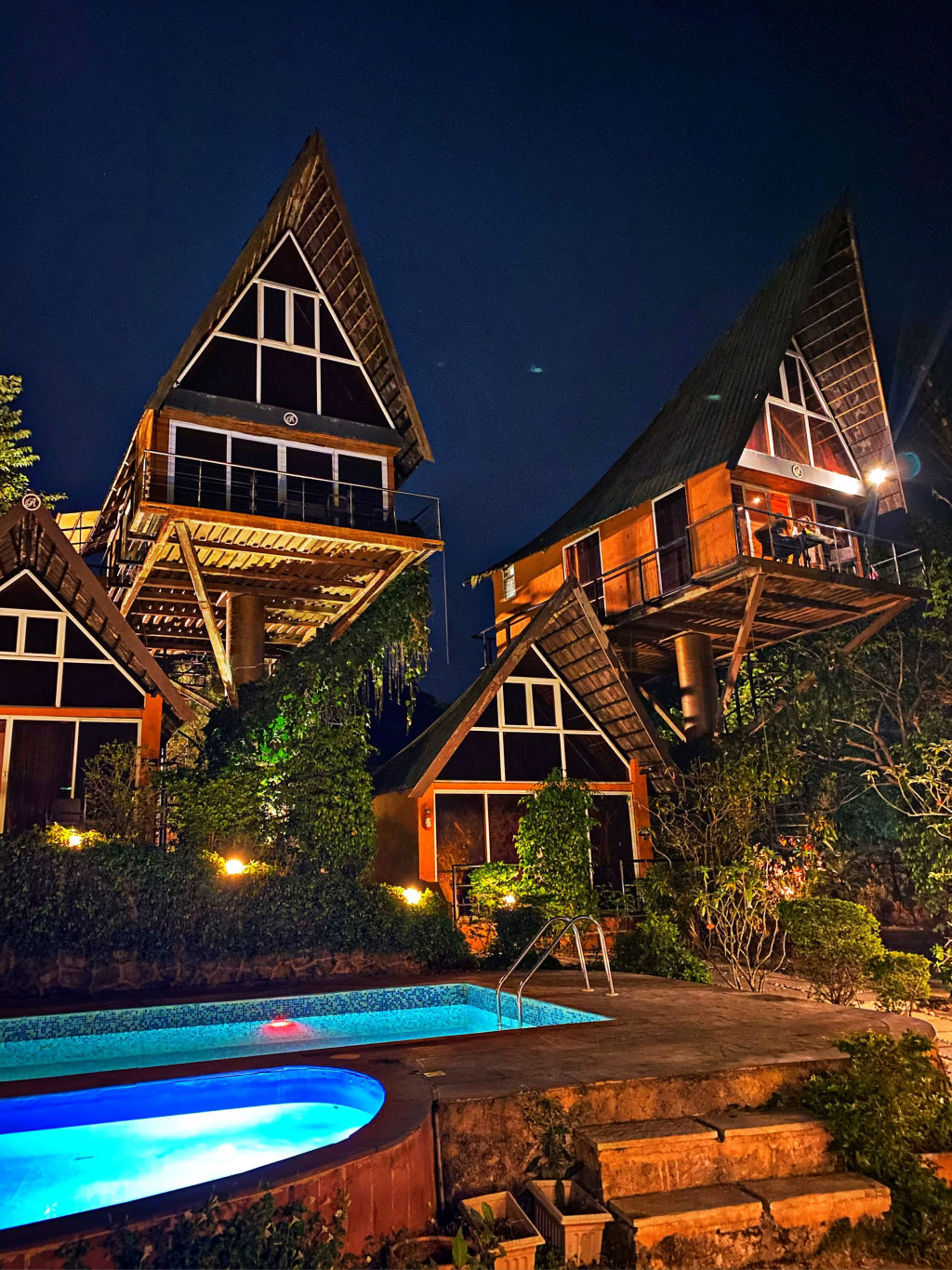
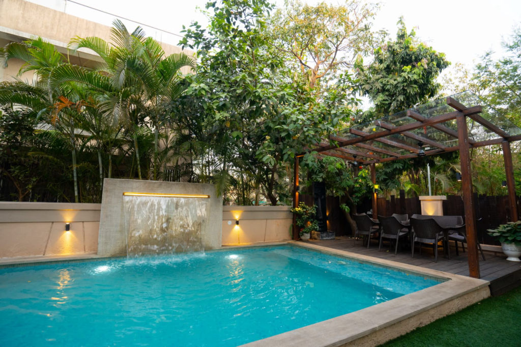
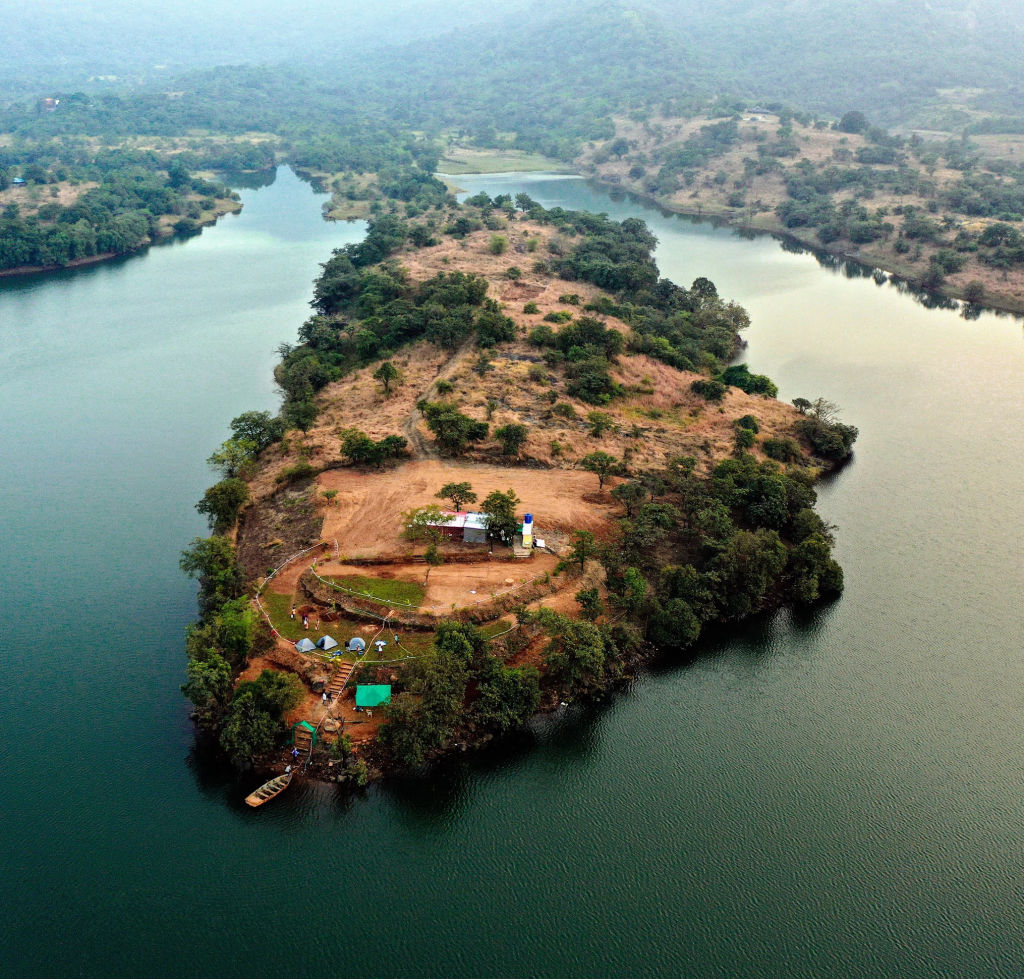
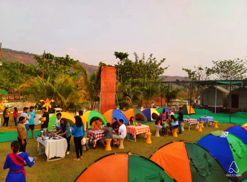
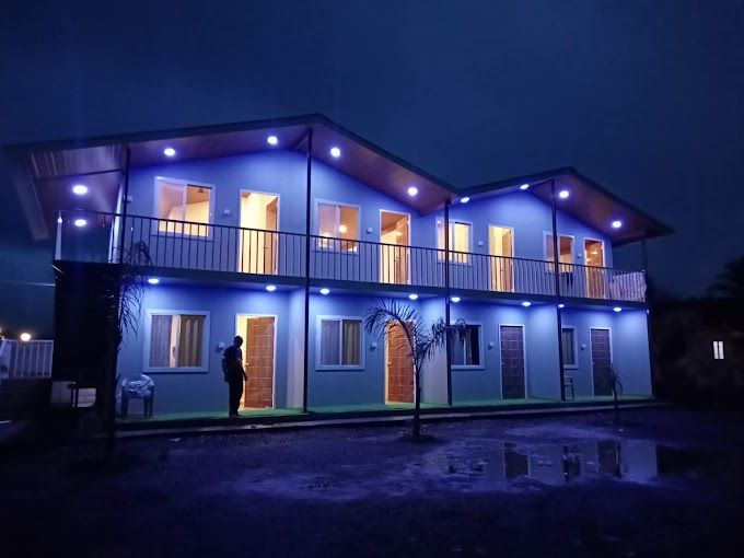
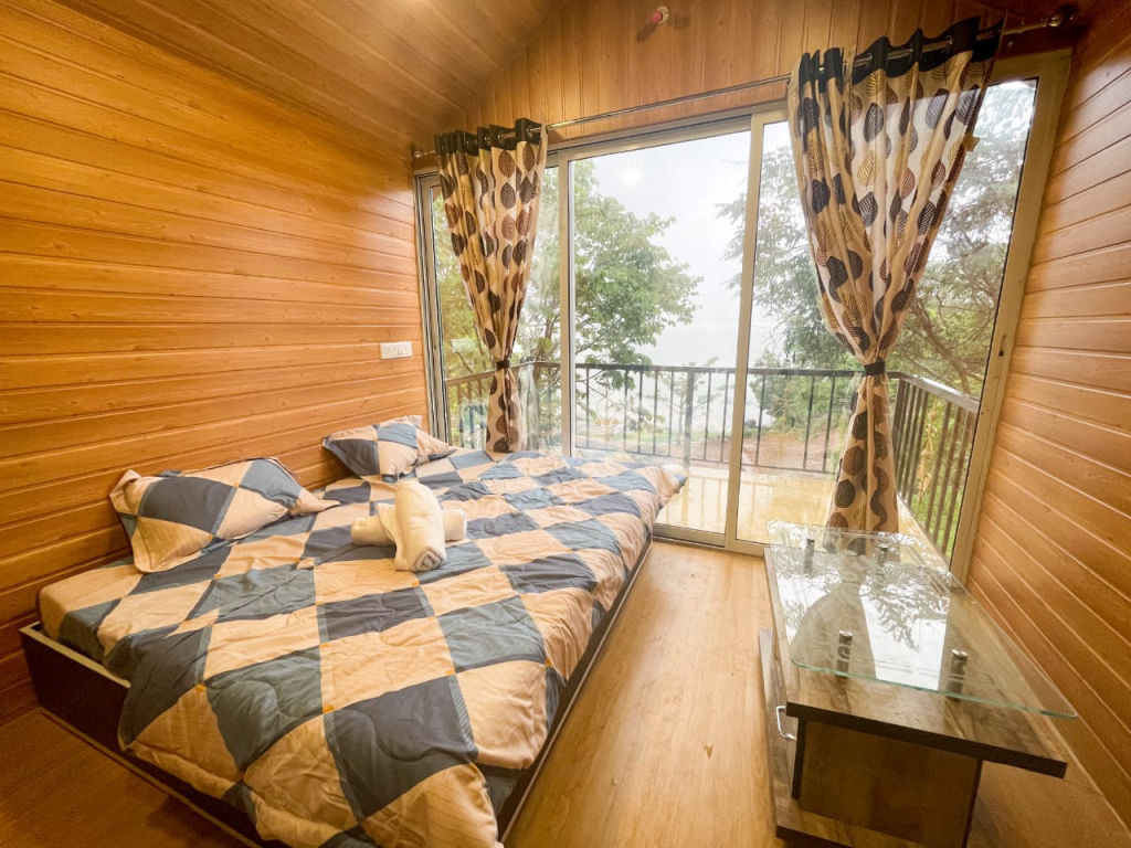
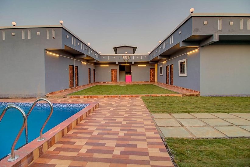
The region around Lonavala and Kurvande offers various choices for overnight travellers looking to explore Duke's Nose and the neighbouring Sahyadri trails. Staying near the base of the hills allows you to begin your hike early in the morning and avoid the peak afternoon heat. A diverse selection of peaceful nature camps, rustic homestays, and comfortable outdoor getaways in and around the area can be discovered and reserved through HireACamp.
Frequently asked questions
How long is the hike along Duke's Nose Trail?
The hike typically takes between one to two hours each way from the base near Kurvande village, depending on your fitness level and walking pace.
Is Duke's Nose Trail difficult for beginners?
The trail is moderately easy for most of the walk across the plateau, though the final rocky ridge approaching the viewpoint requires careful footing and attention.
Why is Duke's Nose also called Nagphani?
Locals call the rock formation Nagphani because its pointed, overhanging summit resembles the hood of an erect cobra.
Can Duke's Nose Trail be visited during the monsoon?
Yes, the trail is popular in the monsoon for its misty weather and lush greenery, but rocks and mud become slippery, so good footwear is necessary.
Are there food stalls or water points along the trail?
There are no established shops or drinking water facilities along the upper path, so hikers should carry all necessary water and snacks from the base.
Where you'll be
Duke's Nose Trail, Lonavala, Kurvande, Maharashtra 410402 · 12 stays nearby shown with prices
As seen on Instagram
The posts this guide is built from
Stays near Duke's Nose Trail
Book a place to stay close by




Often visited together
Creators who went here also showed these


More places near Duke's Nose Trail
Within 20 km


Lists for this area
Ranked by how many creators recommend each place


Built from 1 Instagram post by 1 creator. Every tip links back to the post it came from, and where creators disagree we show both sides.






