
Ilaveezhapoonchira
Viewpoint near Plassanal, Kerala
11 km from Plassanal
The nearest town, for stays, food and fuel.
Ilaveezhapoonchira is an expansive hill viewpoint situated along the rugged border of Kottayam and Idukki districts near Thodupuzha in Kerala. Surrounded by three towering hillocks and rolling grassy knolls, the site is known for its wide panoramic horizons, dramatic cloudscapes, and sweeping sunset views. Travellers head here to experience peaceful hilltop walks, gentle treks, and uninterrupted vistas of the surrounding Western Ghats.
Getting there
By road
- From PlassanalNearest town33 min · 18 km
- From Kochi2 hr · 83 km
- From Thiruvananthapuram4 hr 35 min · 181 km
- From Madurai4 hr 45 min · 219 km
Typical drive times without traffic. Stations and airports from OLA Maps; distances and typical drive times from OpenStreetMap (© OpenStreetMap contributors); notes from creators' Reels.
About Ilaveezhapoonchira
Written with AI from map data and general knowledge. Check prices and timings locally before you go.
The Landscape and Legend of Ilaveezhapoonchira
Perched thousands of feet above sea level, Ilaveezhapoonchira carries a poetic name that loosely translates to 'the pool of flowers where no leaves fall'. The landscape is distinguished by its rolling, bare hilltops that are almost entirely devoid of tall trees. Because there are no tree canopies over the uppermost plateau, the ground remains free of fallen dry leaves, lending literal truth to its traditional Malayalam name.
Local folklore associates the valley with the epic Mahabharata, suggesting that the Pandavas stayed here during their exile. According to myth, the pond on the hill was used by Draupadi, and the hills were raised by the gods to shelter the water body from view. Today, the natural pool remains nestled between the prominent hillocks of Mankunnu, Kodayathur Hill, and Thonippara. The exposed stone, sweeping meadows, and constant mountain breezes give the area a wild, unmanicured character quite distinct from typical tea plantation towns.
Things to Do at Ilaveezhapoonchira
The primary attraction of Ilaveezhapoonchira is the sheer scale of the views. Because the hilltop is surrounded by open space rather than dense jungle, clear days offer sightings that stretch across neighbouring districts, taking in distant reservoirs, rubber plantations, and the low-lying plains of central Kerala.
Sunrise and sunset are the most rewarding times to be at the peak. Early mornings frequently bring thick blankets of mist that slowly recede down into the valleys, leaving the hilltops exposed like islands in a sea of fog. Late afternoons draw visitors watching the sun dip into the horizon, casting vivid orange and purple gradients across the rocky ridges.
Walking and light trekking are common pastimes on the hills. Well-trodden dirt trails meander between the three surrounding peaks, offering visitors the chance to choose their own pace. A hike across the ridgeline exposes you to the changing moods of the weather, which can shift rapidly from bright sunshine to dense cloud cover within minutes. For landscape photographers, the stark ridgelines, dramatic cloud formations, and grazing cattle provide striking, uncluttered subjects.
Read more
Best Time to Visit Ilaveezhapoonchira
The winter months from November to February offer the most pleasant conditions for exploring Ilaveezhapoonchira. During this period, the humidity drops, morning temperatures can be brisk, and the sky remains mostly clear, which maximizes visibility across the Western Ghats. Breezes across the open summit can be sharp, so carrying a windcheater or light jacket is sensible during early morning or evening outings.
The monsoon season, extending roughly from June through September, transforms the surrounding terrain into deep green pasture. Low-hanging rain clouds sweep directly across the plateau, creating an atmospheric, moody setting. However, visiting during heavy monsoon spells requires care, as the approach roads and walking paths can become slippery and sudden downpours are frequent. Lightning can also be a safety hazard on such open, elevated terrain during severe storms, so outdoor movement should be paused if thunder begins.
Summer from March to May brings warmer and drier days. While the midday heat can be intense across the treeless slopes, the evenings cool down substantially, making it a reliable twilight vantage point for local day-trippers.
How to Reach Ilaveezhapoonchira
The nearest substantial transit hubs to Ilaveezhapoonchira are Thodupuzha in Idukki district and Pala in Kottayam district. From Thodupuzha, the drive heads southeast toward Kanjar and Melukavu before turning up into the hills. The winding ascent takes you through quiet rubber estates, small homesteads, and thick hill vegetation before emerging onto the high grassy terrain.
Cochin International Airport is the closest air gateway, while Kottayam and Ernakulam serve as the primary long-distance railway stations. From these transit hubs, private taxis, self-drive vehicles, or regional public buses can take you to base towns like Melukavu or Kanjar.
The final stretch of the road climbing up to the viewpoint becomes steep, narrow, and rough in certain patches. While standard passenger vehicles can reach the base parking spots in dry weather, cautious driving is essential. During wet weather or on the rougher tracks leading closest to the summit, hiring a local four-wheel-drive jeep at the base can be a smoother and safer alternative.
Places to Explore Nearby
Travellers spending a day in the area have several scenic and cultural stops within easy reach. A short drive away lies Malankara Dam, a quiet reservoir formed across the Muvattupuzha River. The placid backwaters, tree-shaded banks, and park spaces around the reservoir make it a restful detour on the way up or down from the hills.
Cultural landmarks in the surrounding Meenachil and Melukavu regions include historic shrines and old churches, such as the St. Alphonsa Shrine Church at Bharananganam and venerable regional temples like Sree Annamala Nathar Mahadeva Temple. These sites reflect the traditional heritage and spiritual history of the foothills.
For those willing to venture slightly farther into Ernakulam district, Thattekad Bird Sanctuary and Bhoothathankettu Dam offer classic low-altitude forest experiences. Thattekad is renowned for rich lowland riverine birdlife, making it an excellent extension for birdwatchers heading through the region.
Tips for Travellers Visiting the Hilltop
Because Ilaveezhapoonchira lacks extensive commercial facilities at the summit, it is wise to arrive prepared. There is virtually no natural shade across the plateau, so carrying sun protection such as a hat and sunscreen is helpful during daylight hours, while a windproof layer will keep you comfortable when cool gales pick up in the evening.
Footwear should be sturdy with dependable grip, as the terrain consists of uneven rocks, gravel, and loose turf that can be slippery underfoot. There are very few places to buy refreshments on the summit itself, so keep sufficient drinking water and light snacks with you, making sure to carry all packaging and plastic trash back down the hill.
Weather conditions can shift rapidly on the high ridges. Checking local weather updates before heading up the winding mountain road ensures you avoid getting caught in sudden hill squalls or low visibility.
Where to Stay near Ilaveezhapoonchira
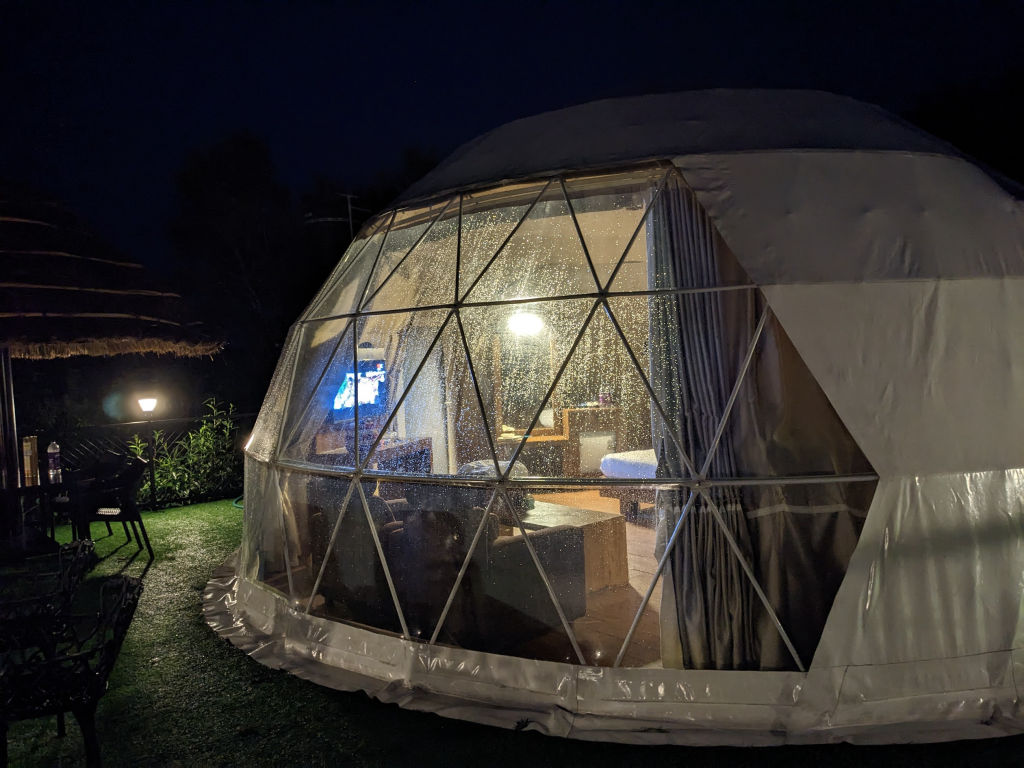
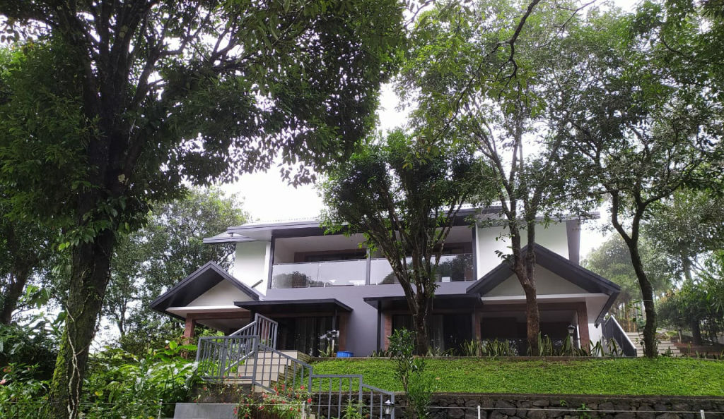
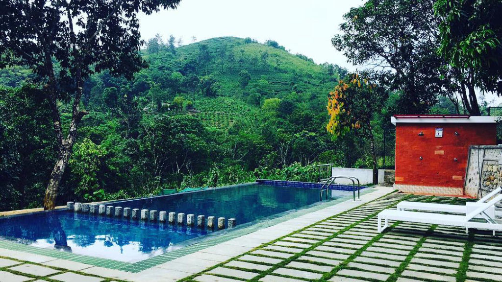
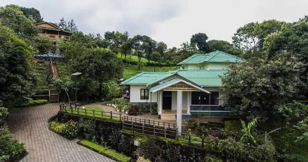
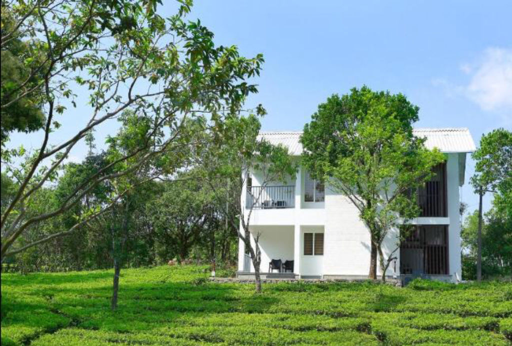
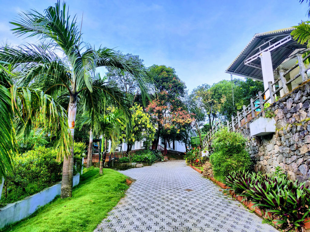
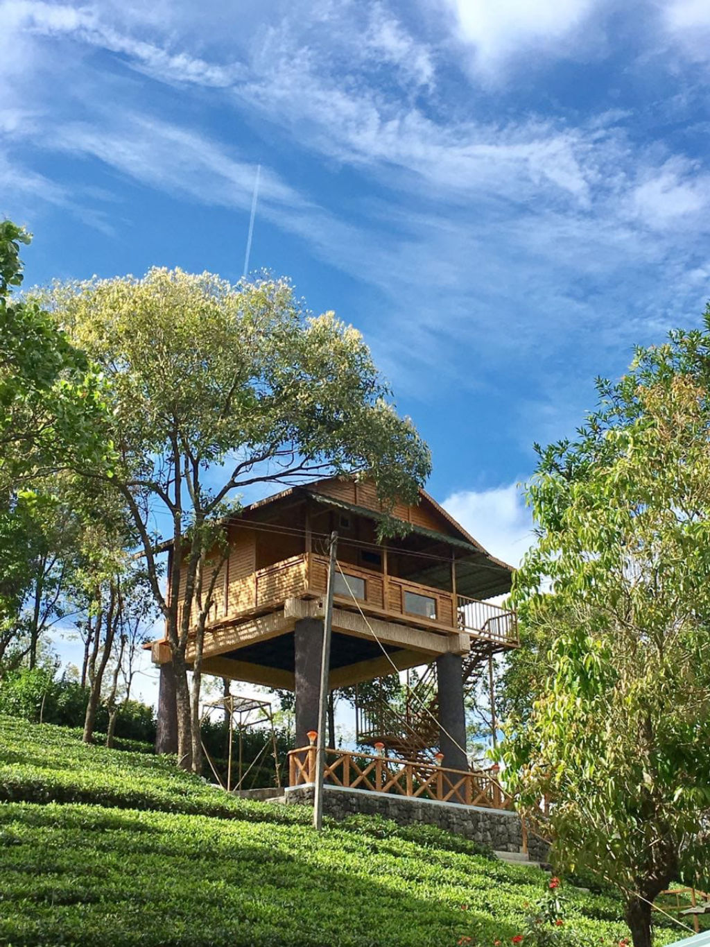
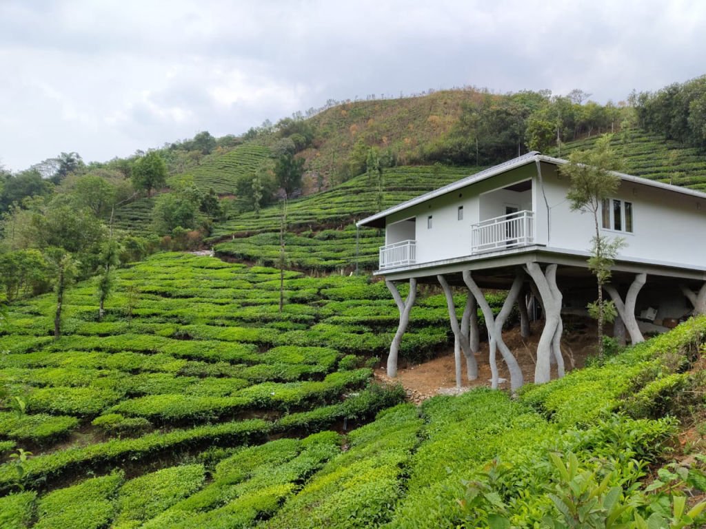
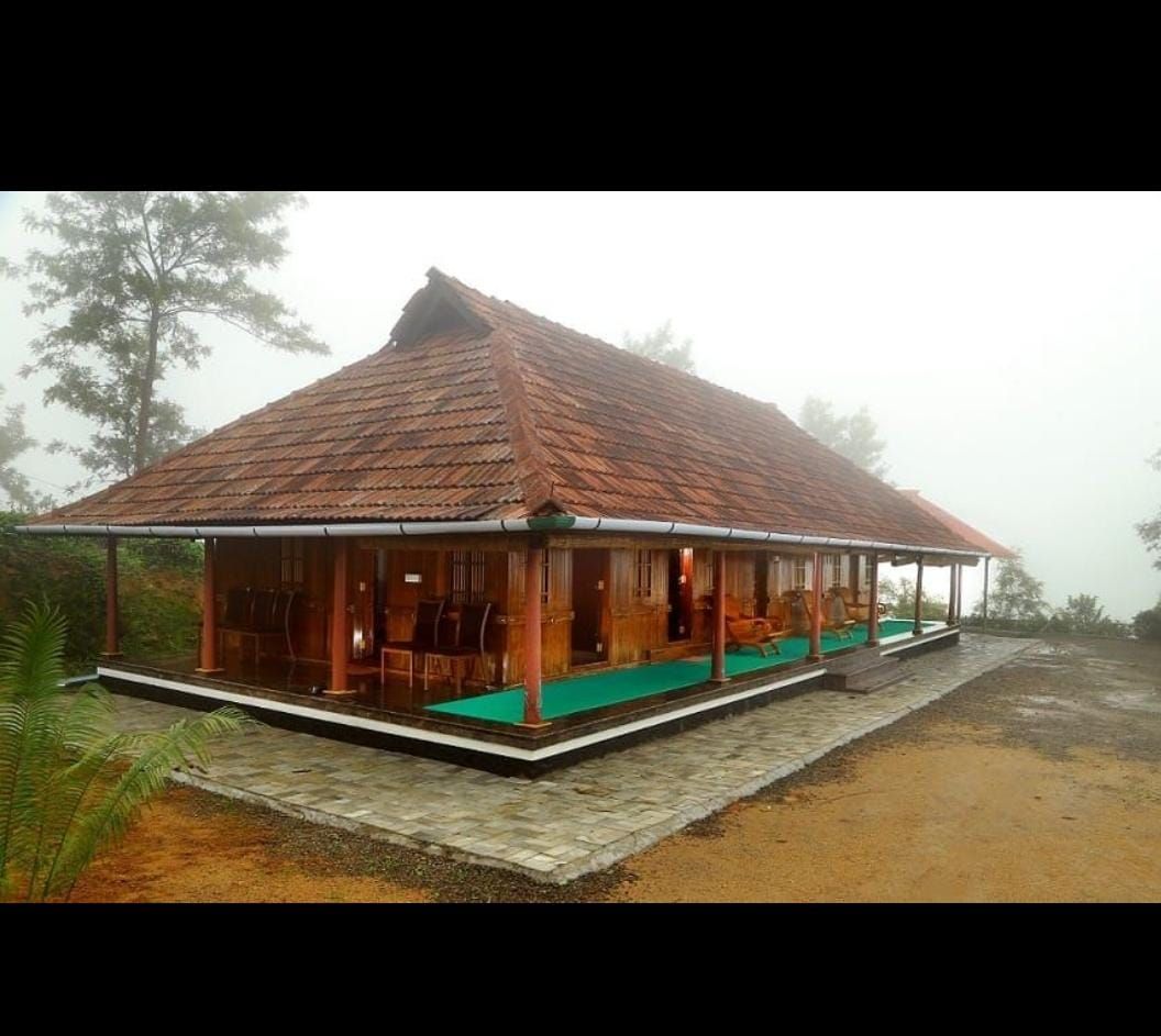
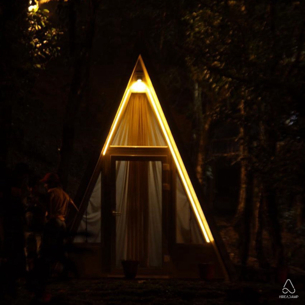
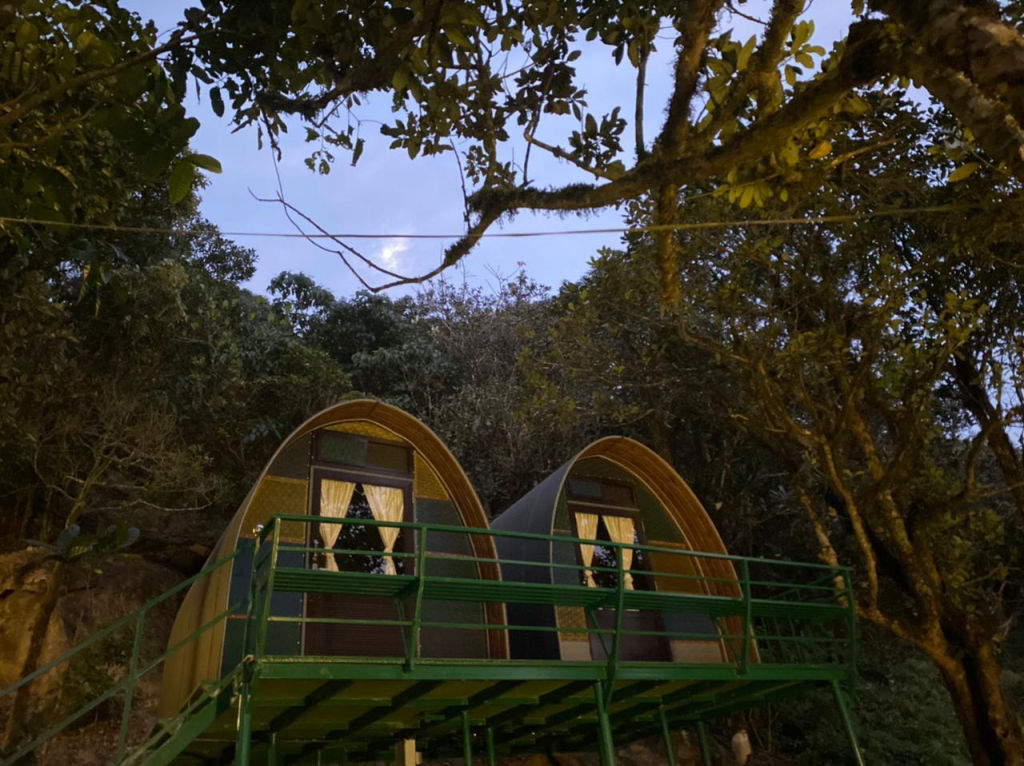
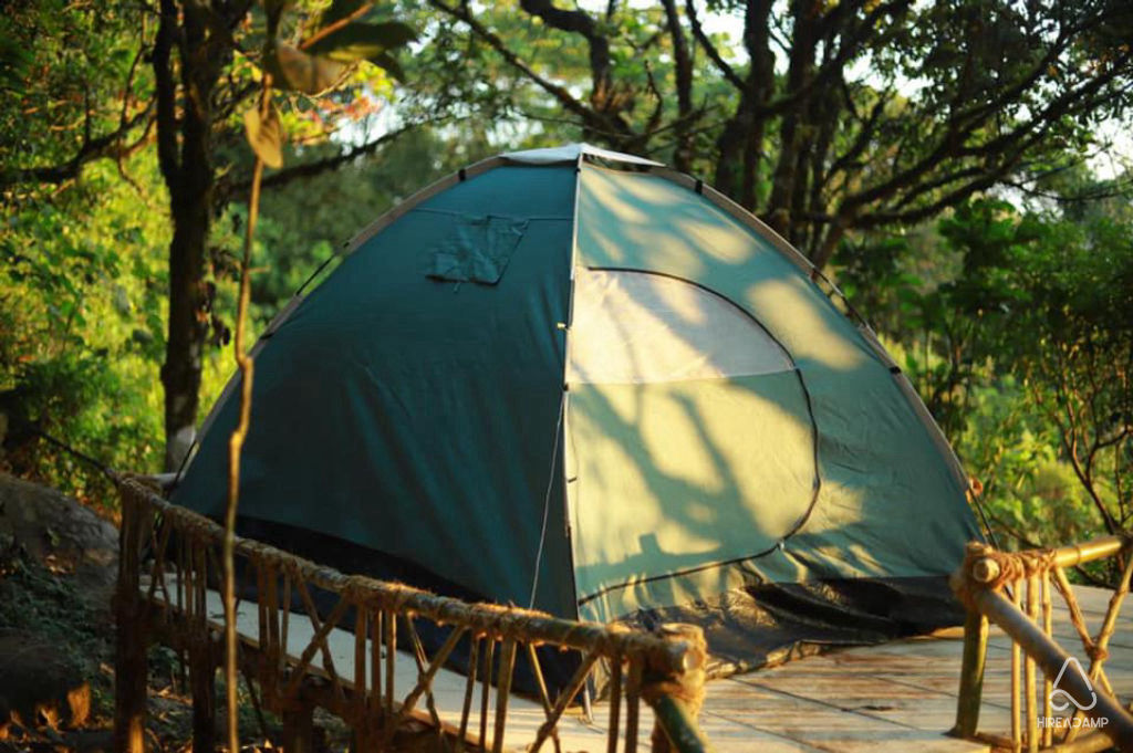
Travellers looking to stay close to nature can discover scenic campsites, quiet farm stays, and traditional homestays in the foothills around Ilaveezhapoonchira and the broader Thodupuzha countryside on HireACamp. Staying nearby allows you to reach the summit in time for sunrise before day visitors arrive and settle in for peaceful evenings under the stars.
Frequently asked questions
What is the meaning behind the name Ilaveezhapoonchira?
The name translates in Malayalam to 'the pool of flowers where no leaves fall', referring to the absence of tall trees on the high grassy hilltops.
Can I drive my own car to the top of Ilaveezhapoonchira?
Standard vehicles can reach near the base, but the final ascent is steep and unpaved in sections. A four-wheel-drive vehicle or hiring a local jeep is recommended, particularly during the rainy months.
Are there food and washroom facilities at the viewpoint?
Facilities on the summit are minimal, so it is recommended to use rest stops and dine at small towns such as Kanjar, Melukavu, or Thodupuzha before starting the final climb.
Is trekking to Ilaveezhapoonchira difficult?
The trails between the viewpoints and nearby hillocks are gentle to moderate in difficulty, making them manageable for most travellers with reasonable fitness and decent walking shoes.
Where you'll be
Meenachil · 12 stays nearby shown with prices
Stays near Ilaveezhapoonchira
Book a place to stay close by
More places near Ilaveezhapoonchira
Within 20 km


Built from 0 Instagram posts by 0 creators. Every tip links back to the post it came from, and where creators disagree we show both sides.






