
Kali River Estuary View Point
Viewpoint near Kodibag, Karnataka
1.2 km from Kodibag
The nearest town, for stays, food and fuel.
Kali River Estuary View Point is an open roadside vantage point in Karwar, Karnataka, situated where the Kali River merges into the Arabian Sea. Located along the Kochi-Panvel Highway, it attracts travellers seeking wide views of the river mouth, coastal fishing boats, and the surrounding forested hills of the Western Ghats. It offers a scenic stop to observe the tidal landscape, watch the sunset, and experience the coastal environment of Uttara Kannada.
Getting there
By road
- From KodibagNearest town5 min · 2.6 km
- From Mangaluru5 hr 25 min · 271 km
Typical drive times without traffic. Stations and airports from OLA Maps; distances and typical drive times from OpenStreetMap (© OpenStreetMap contributors); notes from creators' Reels.
About Kali River Estuary View Point
Written with AI from map data and general knowledge. Check prices and timings locally before you go.
About Kali River Estuary View Point
The Kali River Estuary View Point sits along the edge of National Highway 66 just north of Karwar town in Karnataka. The viewpoint overlooks the dramatic meeting point where the Kali River, having flowed westwards from the Western Ghats, finally discharges into the Arabian Sea. This convergence creates a wide, dynamic estuary framed by rugged hills, sand spits, and mangrove vegetation.
The estuary has long served as a vital waterway for the coastal communities of Karwar. Local fishermen navigate the brackish waters in traditional wooden outriggers and small motorized trawlers, heading out to the open sea or returning with their daily catch. Because the viewpoint is situated adjacent to the highway and near the northern bridge approach, it provides travellers an easy and immediate appreciation of Karwar's distinct coastal topography without demanding a long detour.
What to see and experience at the viewpoint
The primary draw of Kali River Estuary View Point is the uninterrupted panoramic scenery. Standing at the vantage point, you look across the expanse of the river mouth toward the open horizon of the Arabian Sea. Depending on the tide, you can see sandbars emerging from the shallow waters, shifting channels, and the natural boundary where freshwater and saltwater intermingle.
Looking across the river, you can observe the silhouette of the historic Sadashivgad hill and the long vehicular bridge spanning the Kali River. The location is especially favored during late afternoons when the sun sinks toward the Arabian Sea, casting rich reflections across the water. Birdwatchers often spot coastal and wetland birds here, including kingfishers, brahminy kites, egrets, and occasional migratory terns resting on the sandbars or foraging in the shallows.
Read more
Best time to visit Kali River Estuary View Point
The best time to visit the estuary view point is during the post-monsoon and winter months, from October through March. During this period, the coastal weather in Karwar is relatively dry, with pleasant morning breezes and mild evenings, making it comfortable to spend time outdoors admiring the view.
From June to September, the southwest monsoon brings heavy, relentless rainfall to coastal Karnataka. The Kali River swells with brown runoff from the forested Western Ghats, presenting a raw and powerful display of nature. While the lush greenery and dramatic monsoon skies are striking, heavy rain and wind can limit outdoor viewing. The summer months between April and May tend to be hot and humid, so if you travel during this window, plan to stop by either early in the morning or around sunset to avoid the mid-day heat.
How to reach the viewpoint
The viewpoint is situated on the Kochi-Panvel Highway (NH 66) on the northern edge of Karwar, making it very straightforward to access by road. If you are driving along the coastal highway from Goa or southern Karnataka, the viewpoint is right beside the road as you approach the Kali River Bridge.
Karwar Railway Station is well connected to major cities along the Konkan Railway route, including Mangalore, Mumbai, and Margao. From the railway station or central Karwar town, local auto-rickshaws, taxis, and public buses can easily take you to the bridge and estuary area. For air travellers, the closest operational airports are located in Goa, across the state border to the north. From there, you can hire a private taxi or take a state transport bus southward along NH 66 into Karwar.
Places to visit around Karwar
Karwar and its surrounding coastline offer numerous natural and historical attractions. Just south of the estuary lies the Karwar beachfront, home to Rabindranath Tagore Beach and the Warship Museum, which houses an intact decommissioned naval missile boat on the shore. Further offshore, you can spot the distant silhouette of the Oyster Rocks Lighthouse, a historic maritime beacon set on a rocky island.
To the north across the river, Sadashivgad features old fort ramparts offering high-angle views of the estuary and coastline. If you are interested in exploring further afield, the popular temple town and beaches of Gokarna lie around forty kilometres to the south, while the quiet beaches of South Goa, such as Talpona and Galgibaga, are situated just a short drive north across the border. Nature lovers can also venture inland into the interior forests and parks along the Kali River basin.
Tips for your visit
Because the viewpoint is located directly along a busy national highway, personal safety is paramount. Keep well back from the roadway edge, ensure that your vehicle is parked securely away from traffic flow, and watch your step if walking along the gravel shoulder or low parapet.
There is little natural shade directly at the roadside viewpoint, so bring a hat, sunglasses, and drinking water if you are visiting during the sunnier hours of the day. A pair of binoculars or a camera with a telephoto lens can enhance your visit, allowing you to get clear views of distant fishing boats, raptors gliding overhead, and waterbirds foraging on the river banks. Please do your part to keep the area clean by taking all litter with you.
Where to stay near Karwar
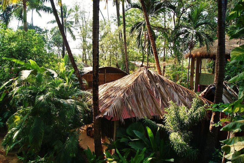
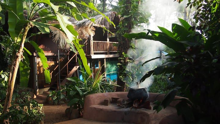
Karwar offers a relaxed base for exploring the northern coast of Karnataka. Travellers can find a range of accommodations across the district, ranging from seaside homestays and heritage houses to tranquil riverside sites along the Kali River backwaters. For those who want to stay close to nature and enjoy coastal Karnataka at a gentle pace, you can explore experiential stays, private cottages, and camping options in and around Karwar on HireACamp.
Frequently asked questions
Where is Kali River Estuary View Point located?
It is located on the Kochi-Panvel Highway (NH 66) on the northern edge of Karwar, Karnataka, right where the Kali River flows into the Arabian Sea.
Is there an entry fee to visit the viewpoint?
No, it is an open roadside vantage point along the highway, and there is no entry fee required to stop and admire the scenery.
What is the best time of day to stop here?
Late afternoon and sunset are the most popular times to visit, as you can watch the sun go down over the Arabian Sea and river estuary in cooler conditions.
How far is the viewpoint from Karwar town?
The viewpoint is located just on the northern fringe of Karwar town, making it a short drive or auto-rickshaw ride of only a few kilometres from the town centre.
Can you take a boat ride on the estuary here?
Local boating facilities occasionally operate nearby along the river banks; travellers should check locally in Karwar town or near the river bridge for current availability.
Where you'll be
Kochi Panvel Highway, Karwar, KA · 2 stays nearby shown with prices
Stays near Kali River Estuary View Point
Book a place to stay close by
More places near Kali River Estuary View Point
Within 20 km
Built from 0 Instagram posts by 0 creators. Every tip links back to the post it came from, and where creators disagree we show both sides.






