
Lariakanta
Peak near Bhowali, Uttarakhand
2.9 km from Bhowali
The nearest town, for stays, food and fuel.
Lariakanta is one of the highest mountain peaks in the hills surrounding the Nainital valley in Uttarakhand, situated close to the town of Bhowali. Rising above dense oak, pine, and rhododendron forests, it offers panoramic vistas across the lower Kumaon hills and the distant snow-clad peaks of the Greater Himalayas. Travellers and outdoor enthusiasts visit the summit to escape the busier viewpoints, walk through quiet forest trails, and enjoy sweeping views of the surrounding lakes and ridgelines.
Getting there
By road
- From BhowaliNearest town40 min · 16 km
- From Dehradun6 hr 45 min · 301 km
- From New Delhi7 hr 10 min · 302 km
- From Lucknow8 hr 25 min · 449 km
Typical drive times without traffic. Stations and airports from OLA Maps; distances and typical drive times from OpenStreetMap (© OpenStreetMap contributors); notes from creators' Reels.
About Lariakanta
Written with AI from map data and general knowledge. Check prices and timings locally before you go.
About Lariakanta
Lariakanta stands as the second-highest vantage point around the Nainital lake basin in the Kumaon region of Uttarakhand. Rising to an altitude of over 2,400 metres, this prominent peak marks the elevated perimeter that shelters the surrounding lake district. Unlike the more heavily frequented viewpoints near Nainital town, Lariakanta retains a quieter, wilderness atmosphere that appeals to birdwatchers, day hikers, and nature lovers.
The hill is clad in thick temperate woodland consisting of ban oak, deodar, cypress, and native rhododendron. As you ascend, the forest gradually opens up to reveal sweeping horizons. From the crest of the peak, the eye travels across rolling forested spurs towards the vast Gangetic plains on one side, and on clear mornings, towards the majestic, jagged white ramparts of the Himalayan snow peaks in the north.
The hike to Lariakanta
Reaching the summit of Lariakanta typically involves a moderate forest walk along dirt trails and bridle paths. The trail winds through shaded canopies where moss-draped branches filter sunlight, making the walk pleasant even on sunny days. Depending on where you commence your walk—from the upper outskirts of Nainital or near the roads connecting towards Bhowali—the gradient climbs steadily through gentle zigzags.
The trail presents varied terrain ranging from soft leaf-strewn forest floors to stony ridges. Hikers often spot local birds flitting through the branches, including whistling thrushes, magpies, and laughingthrushes. Because the summit path is not an artificially paved tourist walk, it gives you an authentic hill trekking experience without demanding technical mountaineering equipment. Packing adequate water and wearing sturdy trail shoes is recommended, as services along the route are virtually nonexistent.
Read more
Best time to visit
The ideal time to explore Lariakanta is from March to June during the spring and summer, and from October to December during the post-monsoon and early winter window. Spring brings mild temperatures and vibrant blossoms, with rhododendron trees turning the forested slopes vivid shades of red and pink. Summer offers welcome respite from the intense heat of the northern plains, though afternoons can occasionally see brief mountain cloud cover.
Autumn, particularly October and November, provides the clearest visibility of the year. The skies turn crisp azure after the monsoon rains wash away atmospheric haze, presenting sharp views of distant snow ranges such as Trishul and Nanda Devi. Winter between December and February brings biting cold and occasional snow flurries to the higher reaches, creating a dramatic frosty landscape for those prepared for cold weather hikes. The monsoon months of July and August see heavy downpours that make trails slippery and prone to leeches, so hiking during peak rains requires caution.
Things to do at Lariakanta
The primary activity at Lariakanta is walking the trails and soaking in the open panoramic views. Photographers find rich compositions here, from sunbursts filtering through morning mountain mist to high-contrast shots of distant peaks during golden hour. The quiet ridgeline is also an excellent setting for outdoor contemplation, sketching, or carrying a light packed breakfast to enjoy in the open mountain air.
Birdwatching is particularly rewarding along the forested approaches to the peak. The mixed broadleaf and coniferous canopy supports a vibrant community of avian species, including woodpeckers, flycatchers, treecreepers, and raptors circling high on the thermal currents. Taking time to walk slowly along the ridgeline allows you to fully experience the natural quietude of the Kumaon hills away from engine noise and commercial markets.
How to reach Lariakanta
Lariakanta is situated in the hills between Nainital and Bhowali in Uttarakhand. The nearest railhead is Kathgodam, located at the foothills approximately thirty to thirty-five kilometres away by road. Taxis and shared vehicles operate regularly between Kathgodam, Nainital, and Bhowali along winding mountain highways. The nearest airport is Pantnagar, situated further down the plains, from where road transport can be hired to reach the hills.
Once in the Nainital or Bhowali region, travellers can take a local cab or drive towards the trailheads that branch off near the upper hill roads. From the road access points, the final ascent to Lariakanta summit is completed on foot along well-marked walking tracks. Local drivers and hill residents can point out the most convenient trackheads depending on your transport choice.
Tips for your visit
Because Lariakanta is a natural peak without shops or stalls, carry sufficient drinking water and light snacks for your hike. Ensure you pack out all trash and food wrappers to preserve the natural cleanliness of the forest environment. Dressing in layers is sensible; mountain weather can shift quickly from warm under direct sunlight to chilly when hill winds pick up across the open ridges.
Wear comfortable shoes with reliable traction to handle uneven gravel and tree roots along the path. Starting early in the morning guarantees the best chances of unobstructed mountain views before afternoon haze or clouds drift across the valleys. If you plan to hike during late autumn or winter, carry warm accessories such as a windproof jacket, gloves, and a cap.
Where to stay near Lariakanta
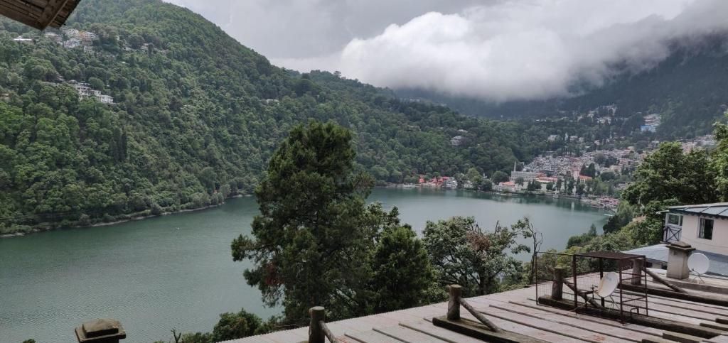
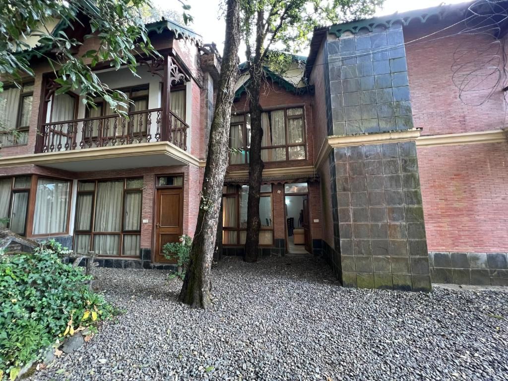
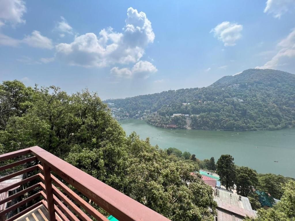
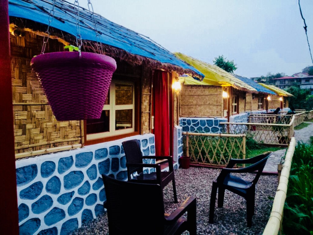
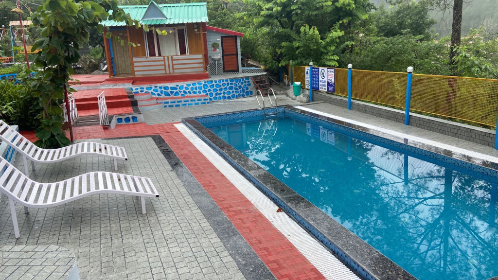
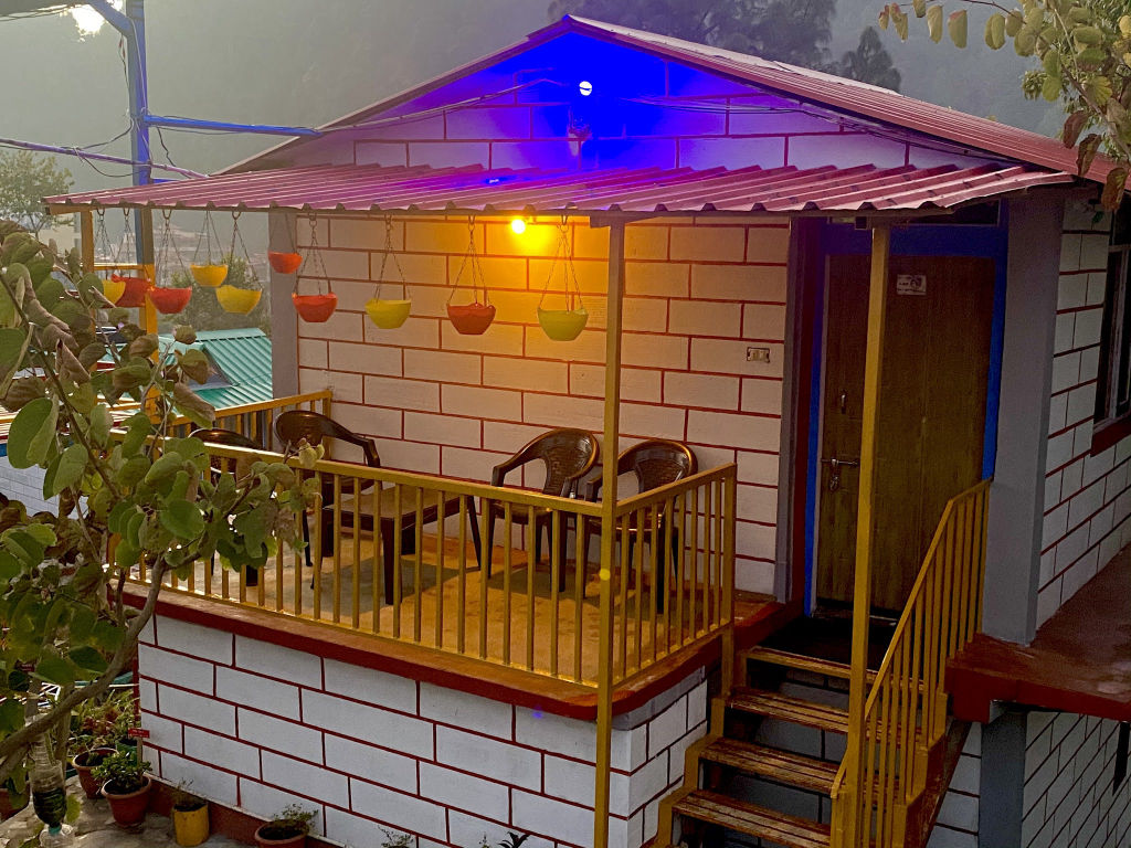
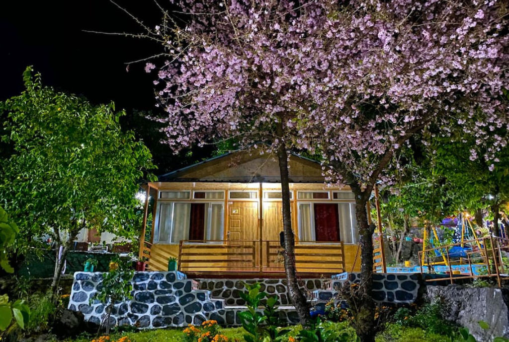
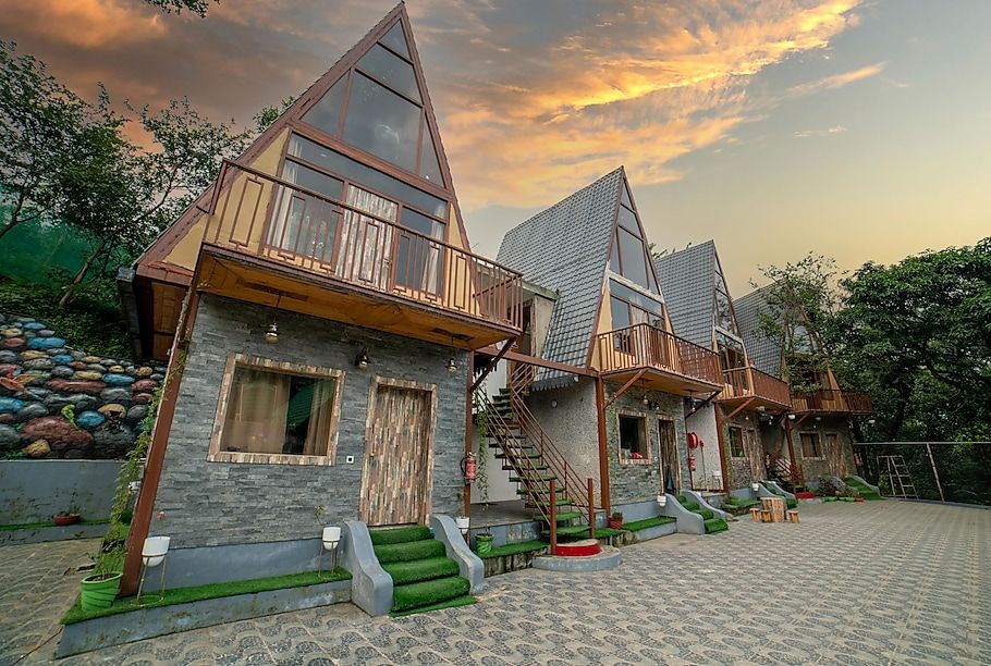
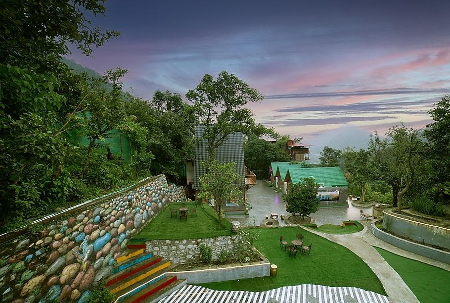
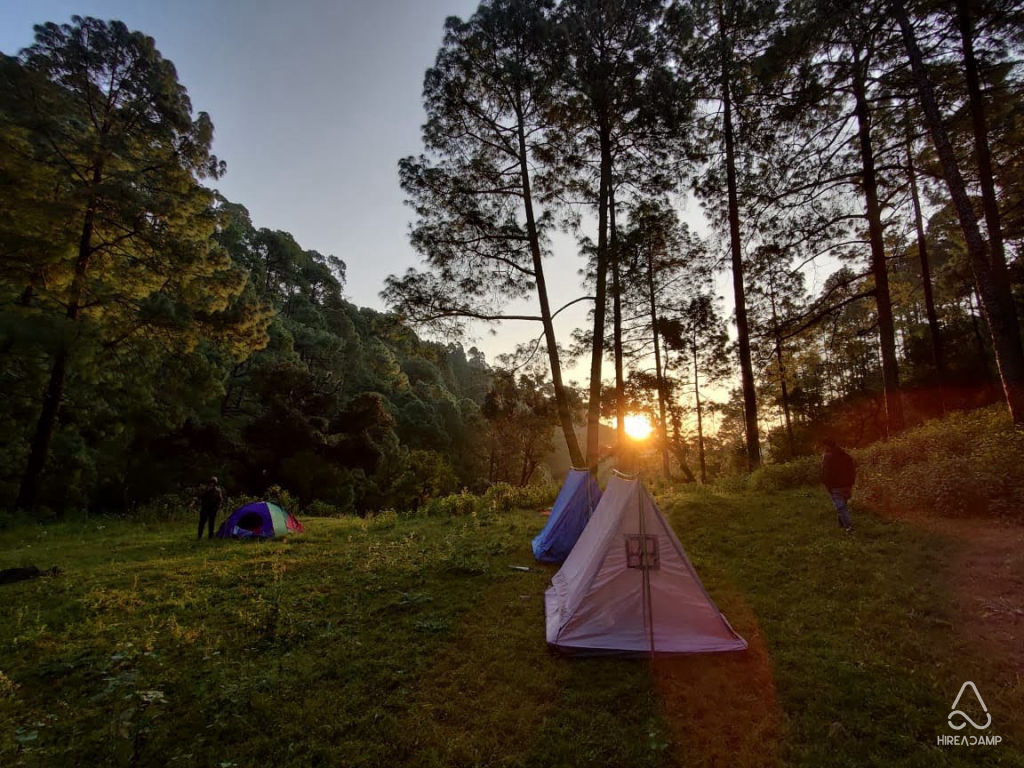
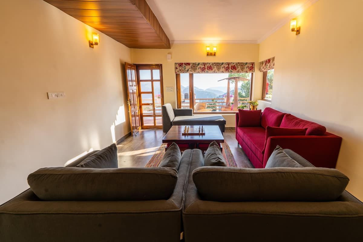
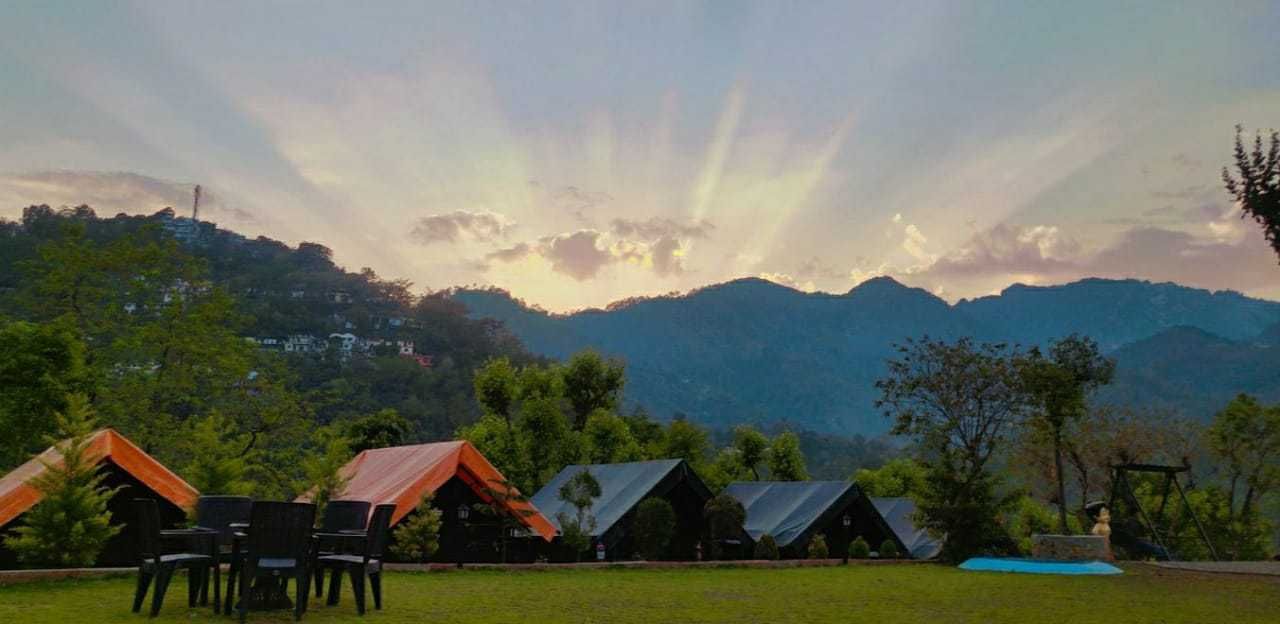
The area surrounding Lariakanta offers a variety of peaceful stay options spread across Bhowali, Nainital, and the nearby village hamlets. Travellers can find riverside camps, quiet pine-forest homestays, and restored heritage properties across these hill slopes. Staying outside the bustling town centre allows you to enjoy starry night skies, fresh mountain air, and easy access to walking trails.
You can discover and book verified campsites, rustic cottages, and homestays around Lariakanta on HireACamp. Booking in advance is recommended during peak summer holidays and autumn weekends.
Frequently asked questions
Where is Lariakanta located?
Lariakanta is a prominent mountain peak located in the Kumaon region of Uttarakhand, situated in the hills between Nainital and Bhowali.
How difficult is the hike to Lariakanta?
The walk to Lariakanta is generally considered an easy to moderate day hike that passes through forested walking tracks with a steady uphill gradient.
Can I see Himalayan snow peaks from Lariakanta?
Yes, on clear days—particularly during autumn and early winter mornings—the peak offers broad views across the distant snow-covered Himalayan peaks.
Are there food and water stalls at the top of Lariakanta?
No, the summit is a natural forest viewpoint without shops, so you should carry your own drinking water and snacks.
Do I need a permit to visit Lariakanta?
A special permit is typically not required for daytime hiking, but it is best to check locally with hill authorities or forest personnel regarding any seasonal regulations.
Where you'll be
Uttarakhand · 12 stays nearby shown with prices
Stays near Lariakanta
Book a place to stay close by
More places near Lariakanta
Within 20 km
Built from 0 Instagram posts by 0 creators. Every tip links back to the post it came from, and where creators disagree we show both sides.






