
Manjarabad Fort
Fort near Donigal, Karnataka
400 m from Donigal
The nearest town, for stays, food and fuel.
Manjarabad Fort is an eighteenth-century star-shaped military fort perched on a hillock near Donigal in the Hassan district of Karnataka. Built by Tipu Sultan with French architectural influence, the fort was designed to withstand cannon fire and survey the surrounding mountain passes. Today, travellers visit to explore its geometric layout, climb its stone ramparts, and take in expansive views of the Western Ghats.
Getting there
By road
- From Mangaluru2 hr 25 min · 121 km
- From Mysuru3 hr 40 min · 154 km
- From Bengaluru5 hr 10 min · 265 km
- From Coimbatore8 hr · 357 km
Typical drive times without traffic. Stations and airports from OLA Maps; distances and typical drive times from OpenStreetMap (© OpenStreetMap contributors); notes from creators' Reels.
About Manjarabad Fort
Written with AI from map data and general knowledge. Check prices and timings locally before you go.
History and architecture of Manjarabad Fort
Manjarabad Fort was built in 1792 by Tipu Sultan, the ruler of Mysore, during a period of conflict with the British East India Company. Built on a prominent hill overlooking the strategic Shiradi Ghat route, the fort served as a defensive military outpost and a watchtower. Legend has it that upon inspecting the fort on a misty morning, Tipu Sultan observed the thick blanket of fog enveloping the surrounding valleys and named the stronghold Manjarabad, derived from 'Manju', the Kannada word for fog or mist.
What sets Manjarabad Fort apart from many other hill forts in southern India is its octagonal, star-shaped geometry, heavily influenced by French military engineer Sébastien Le Prestre de Vauban. Tipu Sultan enlisted French engineers to help construct the fortification, resulting in an eight-pointed star design. This layout eliminated blind spots for defenders, allowing cannon and musket fire to cross over every angle of approach. The fort features deep moats, thick granite outer walls, underground passages, arched chambers designed for ammunition storage, and a cruciform central well fed by rainwater harvesting systems.
What to see and do at the fort
A visit to Manjarabad Fort begins with a climb up a series of well-laid granite steps winding up the hill through shaded trees. Reaching the top brings you to the arched main entrance, leading into the heart of the fortification. Walking along the perimeter ramparts offers a clear perspective of the complex eight-pointed structure and provides sweeping 360-degree views of the surrounding hills, coffee plantations, and the rugged slopes of the Western Ghats.
Inside the fort, visitors can explore the brick and lime plaster chambers that once served as barracks, armouries, and storehouses. In the center lies a deep, stepped water tank shaped like a plus sign, which provided water security for troops stationed here. The broad parapets are interspersed with embrasures built for musketeers and heavy cannons. Photographers and history enthusiasts spend hours walking the earthen bastions and studying the blend of European military engineering and local craftsmanship.
Read more
Best time to visit Manjarabad Fort
The cooler months from October to March are widely considered the most comfortable time to visit Manjarabad Fort. During this period, the days are bright and clear, making the uphill walk pleasant and ensuring unobstructed views of the surrounding Western Ghats valleys.
The monsoon season, running from June to September, transforms the surrounding landscape into an emerald green expanse, often draping the hilltops in heavy mist and rain. While the atmosphere during the rains is dramatic and true to the fort's namesake, visitors should take extra caution, as the stone steps and earthen parapets can become slick. The summer months from April to May can get warm in the afternoons, so early morning or late afternoon visits are recommended if travelling during that period.
How to reach Manjarabad Fort
Manjarabad Fort is situated right beside National Highway 75, just outside the settlement of Donigal near Sakleshpur. The fort is well connected by road from major cities in Karnataka. Travellers driving from Bengaluru typically take the highway via Kunigal, Channarayapatna, and Hassan, a scenic drive that usually takes around four to five hours depending on traffic.
Mangalore lies down the ghats to the west, with the highway traversing through the Shiradi Ghat stretch. The nearest railhead is at Sakleshpur, which connects to Bengaluru, Hassan, and Mangalore. From the base near the highway, visitors must walk up approximately two hundred to two hundred and fifty stone steps to reach the fort entrance, requiring a moderate level of physical fitness.
Tips for your visit
Because accessing the fort requires walking up a long flight of stone stairs and strolling over uneven surfaces, comfortable walking shoes or sports shoes are strongly recommended. Carry sufficient drinking water and sun protection, such as a hat or sunglasses, as there is limited shade once you are on top of the ramparts.
There are no extensive facilities atop the fort, so visitors should plan accordingly and use facilities near the base of the hill. Respect the historical nature of the monument by avoiding climbing on fragile ruined brickwork and taking all litter back down with you. Check local weather reports during the monsoon to avoid visiting during spells of intense rainfall when visibility is low and steps are slippery.
Places to explore nearby
The area surrounding Donigal and Sakleshpur is rich in natural attractions and trekking trails. Waterfalls such as Bhimeshwara Falls, Jeeni Water Falls, Hanbal Falls, and Abbe Gundi Falls are located within a short driving radius and come alive during and immediately after the monsoon months.
For those interested in hiking and mountain peaks, Rottikallu, Ombattu Gudda, and Ettina Bhuja offer rewarding trails through shola grasslands and dense rainforests. Heritage seekers can also explore the historic Bettada Byraveshwara Temple, tucked into the hills, and the ancient Devarunda Prasanna Rameshwara Temple.
Where to stay near Manjarabad Fort
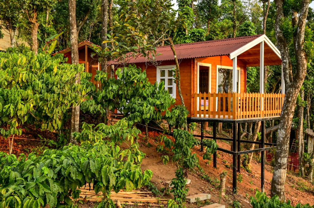
The region around Donigal and Sakleshpur is known for its coffee estates, rolling hills, and quiet nature retreats. Travellers can find a wide range of nature camps, rustic cottages, and estate homestays that allow them to experience rural Karnataka hospitality. You can explore and book verified campsites and homestays nearby on HireACamp to make the most of your trip.
Frequently asked questions
Why is Manjarabad Fort star-shaped?
The fort was designed with the assistance of French military engineers based on European fortification principles. The star-shaped layout eliminated blind spots, allowing defenders to fire across every angle of the fort's perimeter to repel attackers.
How difficult is the climb to Manjarabad Fort?
The climb involves walking up roughly two hundred to two hundred and fifty stone steps from the parking area. It is a moderate climb suitable for most individuals of average fitness, though taking brief rests along the way helps.
What does the name Manjarabad mean?
The name comes from 'Manju', which means fog or mist in Kannada. It is said that Tipu Sultan named the fort Manjarabad after witnessing dense fog covering the hill and surrounding valleys during an early morning inspection.
Is Manjarabad Fort suitable to visit during the monsoon?
Yes, the monsoon brings vibrant greenery and dramatic mist to the area, but visitors should wear slip-resistant footwear and be cautious, as the stone stairs and trails become wet and slippery.
Where you'll be
Donigal, KA · 5 stays nearby shown with prices
Stays near Manjarabad Fort
Book a place to stay close by
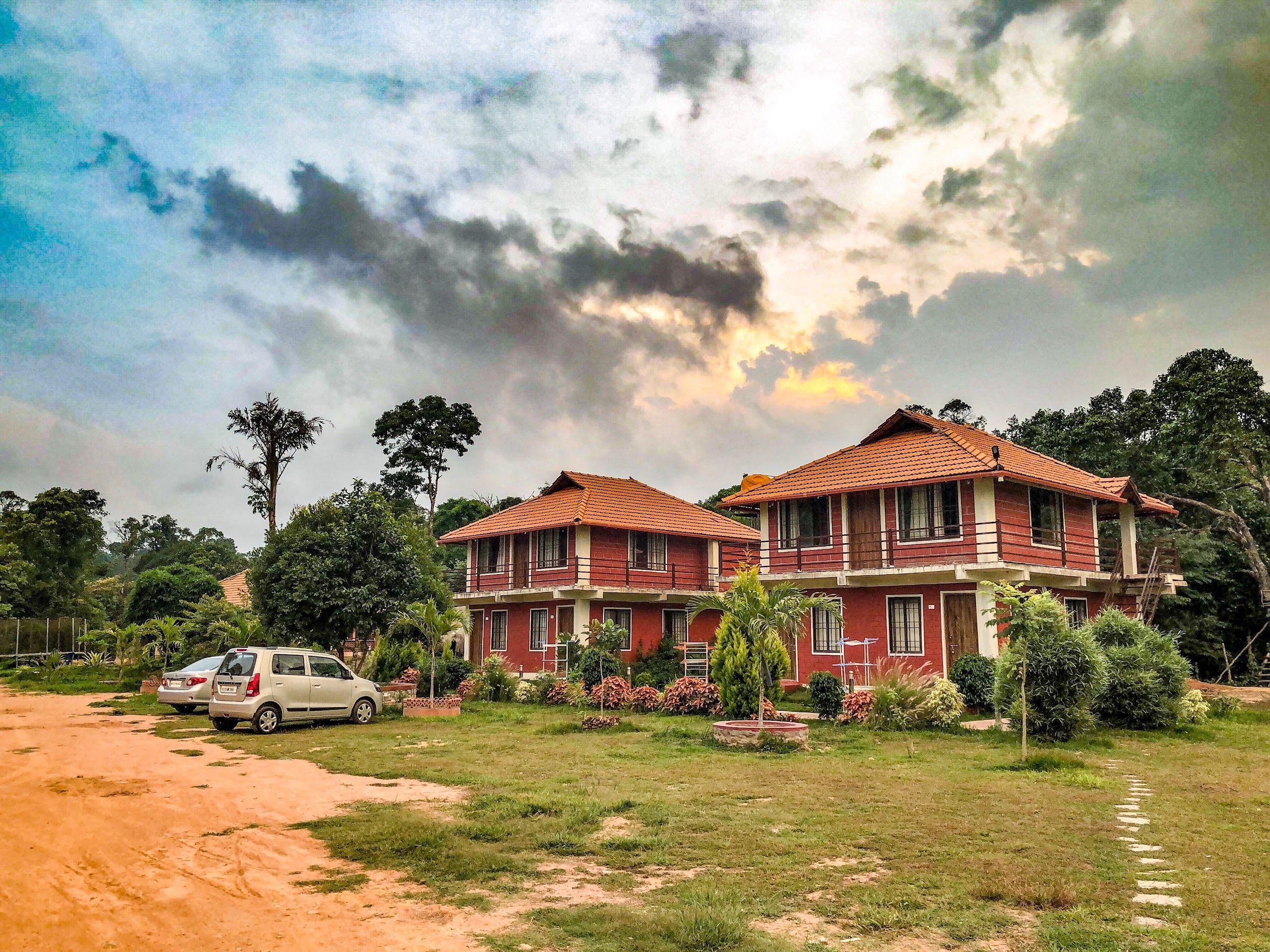
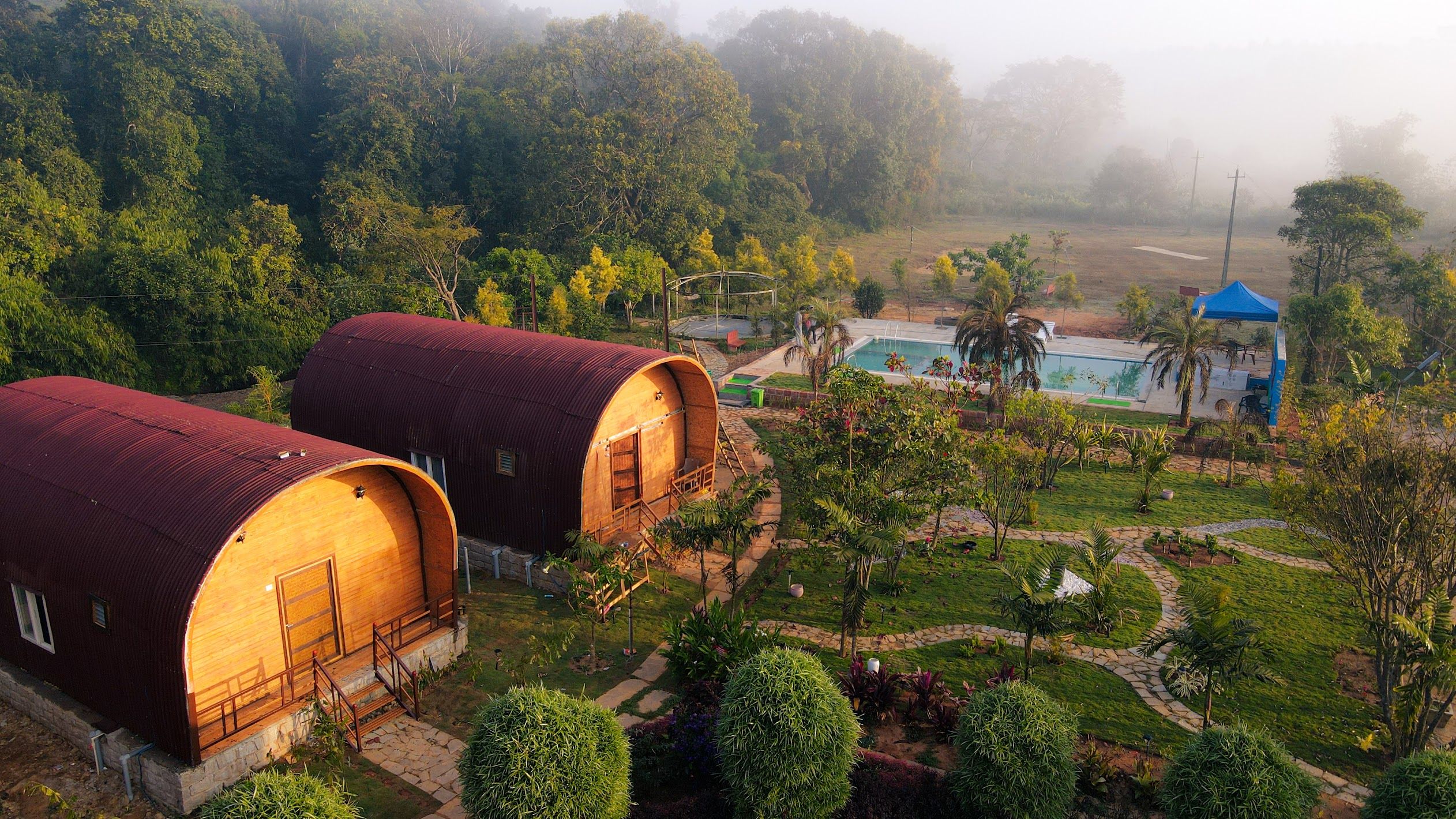
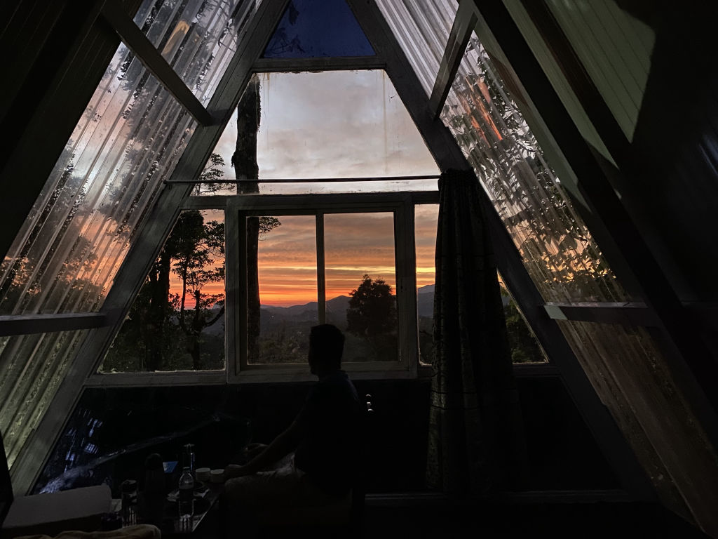
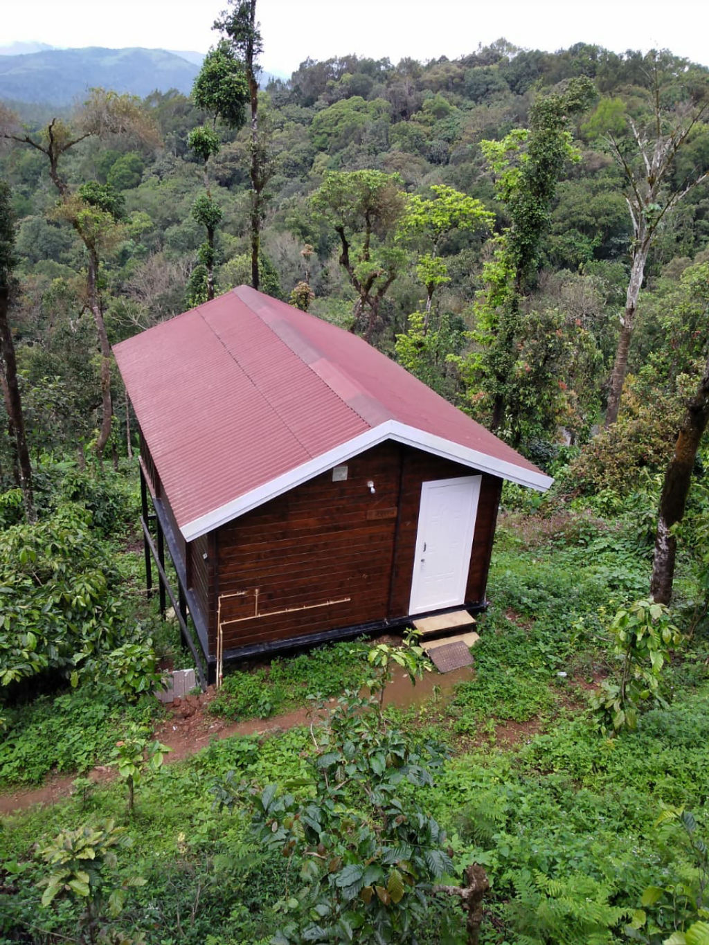
More places near Manjarabad Fort
Within 20 km


Built from 0 Instagram posts by 0 creators. Every tip links back to the post it came from, and where creators disagree we show both sides.






