
Mount Karol
Peak near Kandaghat, Himachal Pradesh
1.5 km from Kandaghat
The nearest town, for stays, food and fuel.
Mount Karol is a prominent mountain peak rising above the town of Kandaghat in Himachal Pradesh. Known as the highest summit in the immediate Solan valley region, it attracts trekkers, pilgrims, and nature lovers seeking tranquil pine forests and expansive mountain vistas. The peak is particularly famed for the ancient Karol Cave and its panoramic vantage points overlooking the surrounding Shivalik ranges.
Getting there
By road
- From KandaghatNearest town3 min · 2.2 km
- From Chandigarh1 hr 55 min · 81 km
- From Dehradun4 hr · 198 km
- From Ludhiana4 hr 10 min · 198 km
Typical drive times without traffic. Stations and airports from OLA Maps; distances and typical drive times from OpenStreetMap (© OpenStreetMap contributors); notes from creators' Reels.
About Mount Karol
Written with AI from map data and general knowledge. Check prices and timings locally before you go.
The landscape and lore of Mount Karol
Mount Karol dominates the skyline near Kandaghat, rising with a commanding presence amidst the lower Himalayan belt of Himachal Pradesh. The mountain features dense tracts of chir pine along its lower reaches, which gradually give way to deodar and ban oak as elevation increases. From the summit ridge, trekkers are rewarded with uninterrupted vistas stretching across the verdant Giri and Gambhar river valleys, the town of Solan, and distant glimpses of the higher snow-capped ranges on clear days.
Beyond its natural beauty, the peak is steeped in local folklore and historical mystery. It is home to the revered Karol Cave, an underground cavern that according to local lore dates back to the era of the Mahabharata. Legends tell that the Pandava brothers inhabited this cave during their period of exile and even utilized subterranean passages carved deep into the limestone rock. Near the peak stands a small temple dedicated to Goddess Kali, visited by residents of nearby hamlets who make the ascent to offer prayers.
Trekking the trail to Mount Karol
The trek to Mount Karol is one of the most accessible and rewarding day hikes in this part of Himachal Pradesh. Hikers typically commence their ascent from points near Kandaghat or along the slopes between Kandaghat and Chambaghat. The path begins as a gradual incline winding through quiet mountain settlements, terraced agricultural patches, and fragrant pine woods. Forest trails are predominantly earthen and strewn with pine needles, requiring decent footing, especially on steeper sections.
As the trail climbs toward the mid-levels, the gradient becomes steeper and the forest thickens. You will come across a natural clearing known as Karol Meadows, a broad open expanse carpeted in green grasses during post-monsoon months. This open meadow offers an ideal spot to pause, catch your breath, and enjoy views of the surrounding hills before tackling the final rocky ascent toward the cave entrance and the summit shrine.
Read more
Exploring the Karol Cave and summit
Reaching the Karol Cave is a highlight of the excursion. The cavern mouth opens into the hillside, leading into naturally formed limestone chambers. While visitors often explore the entrance area, going deep into the unlit passages is discouraged due to natural drop-offs, poor ventilation, and roosting bats. Bringing a sturdy torch allows visitors to observe the unusual rock formations near the entrance safely.
Continuing past the cave area, a short trail brings you to the crown of Mount Karol. The summit features a modest shrine alongside sweeping 360-degree views of the Shivalik hills, with the ridge settlements of Shimla and Chail visible on the horizon. The peace at the top, combined with the gentle rustle of mountain winds through the trees, makes the climb well worth the effort.
Best time to visit Mount Karol
Mount Karol is accessible for most of the year, though each season brings a distinct character to the mountain. Spring and early summer, spanning from March to June, offer mild temperatures and clear morning skies, making it an excellent window for outdoor exploration. Wildflowers bloom across the slopes, and temperatures remain pleasant compared to the plains below.
Monsoon season, between July and August, brings heavy rainfall to the Solan district. During this time, the entire mountain transforms into a vibrant green paradise, but trail surfaces turn slick and muddy, while localized landslides can disrupt regional transport. Autumn, from September to November, is widely considered the prime hiking season. The post-monsoon air is exceptionally clear, offering crisp mountain vistas under bright blue skies. Winters, from December to February, bring cold mornings and brisk breezes, requiring warm woollens, though the hike remains feasible during bright sunny days.
How to reach Mount Karol
The base town for the trek is Kandaghat, which enjoys convenient connectivity along the National Highway 5 corridor connecting Chandigarh to Shimla. Travellers arriving by road can drive up from Chandigarh in approximately two to three hours under normal road conditions. State and private buses running toward Shimla frequently stop at Kandaghat, making public transport an easy and reliable option.
For a scenic journey, the historic Kalka-Shimla heritage railway passes directly through Kandaghat railway station. Taking the toy train from Kalka provides a leisurely rail experience before you begin your mountain excursion. Once at Kandaghat, local taxis can drop hikers near the chosen trailheads along the hillside, from where the foot journey begins.
Essential tips for your trek
Mount Karol is a moderate day hike, but proper preparation is key to an enjoyable outing. Sturdy trekking shoes with dependable grip are essential, as dry pine needles and loose scree can be surprisingly slippery on downward gradients. Carrying a trekking pole can provide welcome stability along the steeper segments.
There are no commercial stalls or water points along the trail once you enter the upper forest, so hikers should carry at least two liters of drinking water and adequate high-energy snacks. Start early in the morning to avoid midday heat and to ensure you can descend well before twilight. Always observe Leave No Trace principles by bringing back all personal plastic, wrappers, and waste to maintain the pristine condition of the forest.
Where to stay near Mount Karol
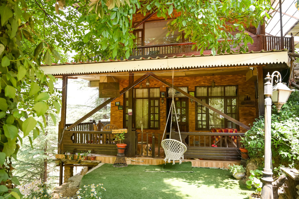
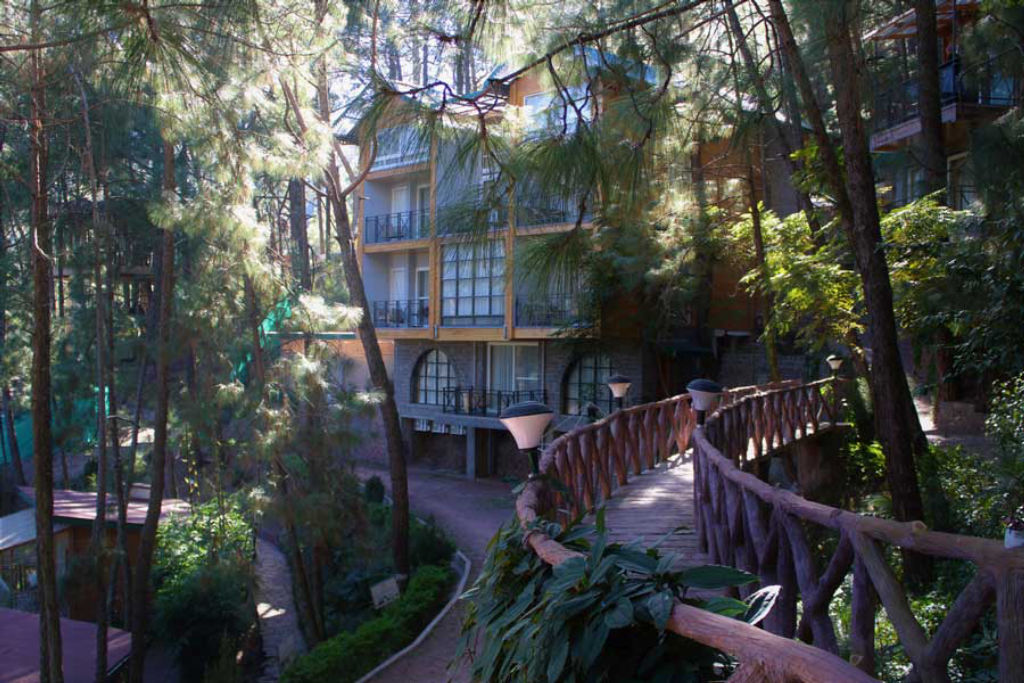
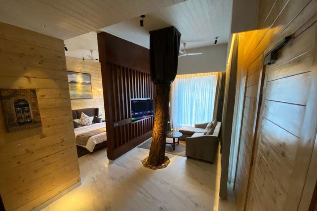
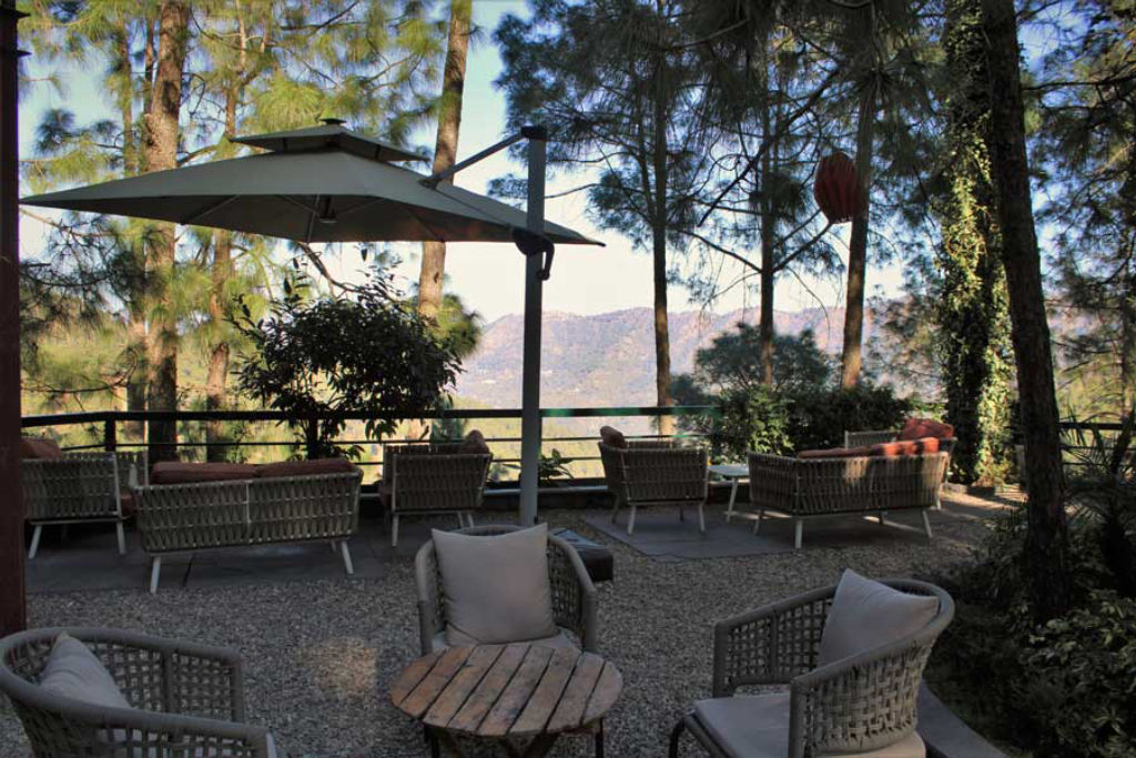
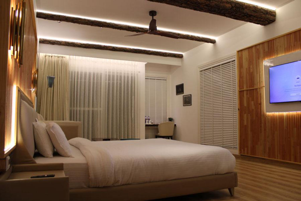
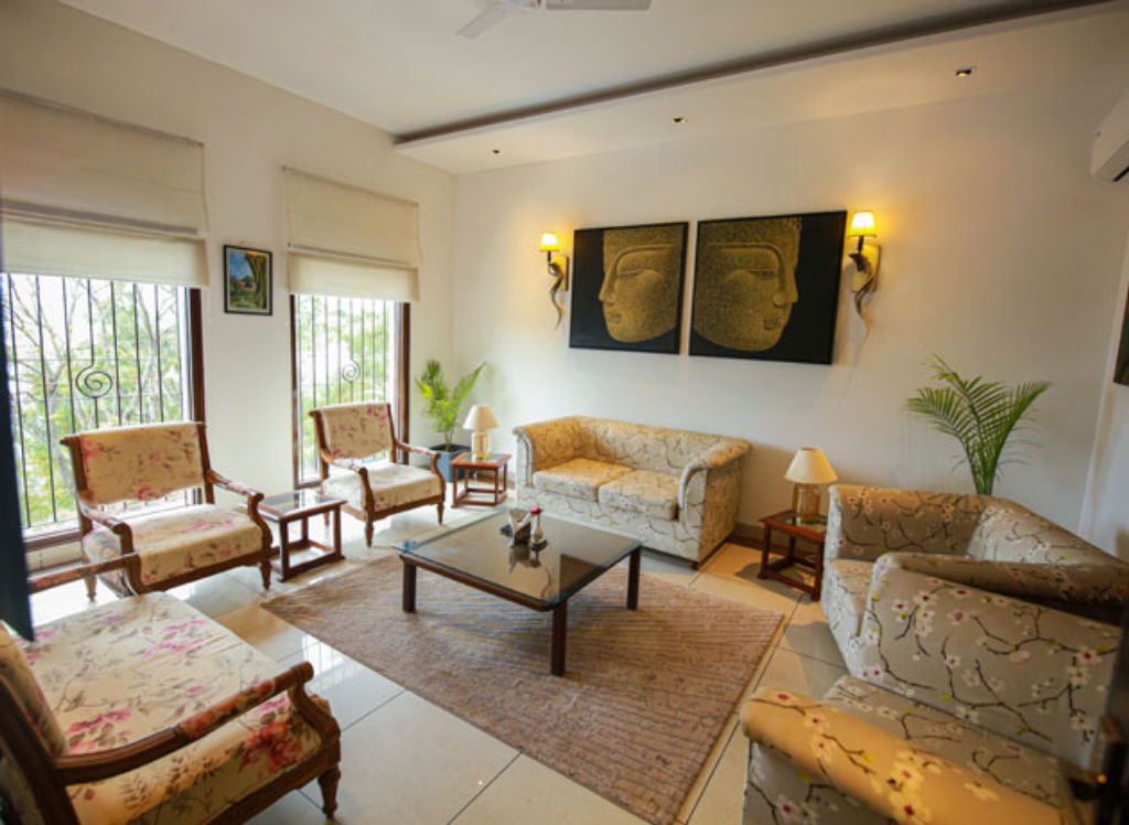
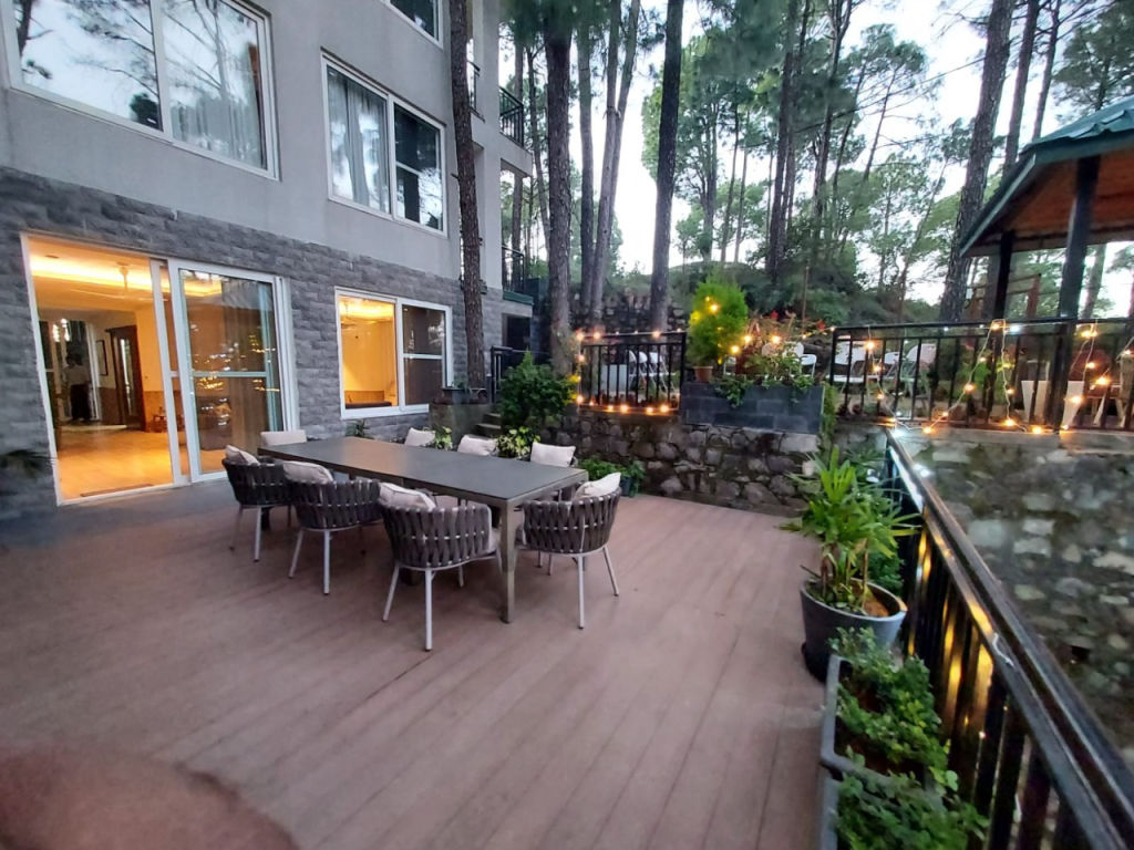
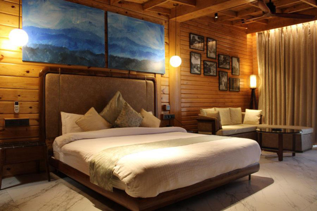
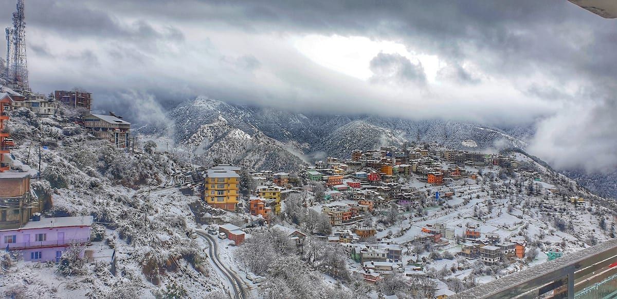
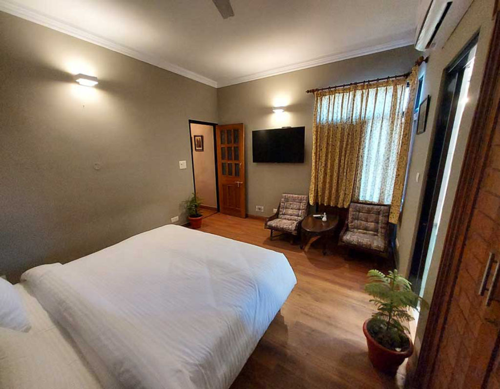
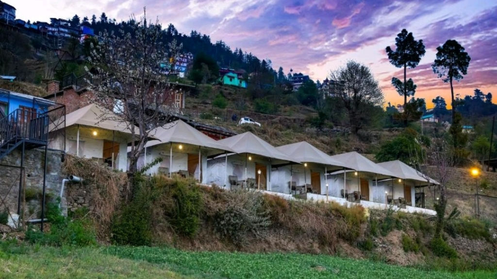
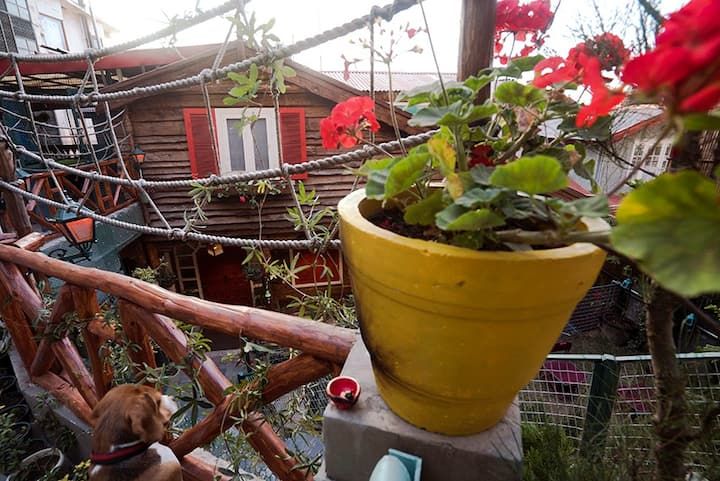
Travellers seeking accommodation close to Mount Karol have several peaceful options in and around Kandaghat, the neighbouring town of Solan, and scenic rural outposts nearby. Staying in the area allows you to start your trek at sunrise and unwind in quiet natural settings after the climb. A selection of experiential stays, authentic homestays, and nature campsites in the valley surrounding Mount Karol can be found on HireACamp.
Frequently asked questions
Where does the trek to Mount Karol begin?
The trek typically begins near Kandaghat or slightly higher up near Chambaghat, both located in the Solan district along the Kalka-Shimla highway.
What is the Karol Cave and why is it famous?
Karol Cave is a natural limestone cavern located on Mount Karol, deeply rooted in Hindu mythology as a shelter used by the Pandavas during their exile.
Is the hike to Mount Karol suitable for beginners?
Yes, Mount Karol is a moderate day trek manageable for fit beginners and regular walkers, provided they wear good hiking shoes and pace themselves.
Are there food and water stalls on Mount Karol?
No, there are no commercial shops or drinking water sources along the trail, so hikers must carry their own supplies from the base town.
What is the best season to hike Mount Karol?
The ideal periods to hike Mount Karol are spring from March to May and autumn from late September to November, when skies are clear and temperatures are comfortable.
Where you'll be
Kandaghat · 12 stays nearby shown with prices
Stays near Mount Karol
Book a place to stay close by
More places near Mount Karol
Within 20 km


Lists for this area
Ranked by how many creators recommend each place


Built from 0 Instagram posts by 0 creators. Every tip links back to the post it came from, and where creators disagree we show both sides.






