
Paithalmala
Peak near Kudiyanmala, Kerala
9.8 km from Kudiyanmala
The nearest town, for stays, food and fuel.
Paithalmala is a scenic hill peak situated in the Western Ghats of the Kannur district in Kerala. Rising above misty valleys and dense evergreen forests, the peak is renowned for its sweeping montane grasslands and quiet trekking routes. Travellers and outdoor enthusiasts visit to escape the coastal humidity, walk through untouched woodlands, and take in panoramic views of the forested hills stretching toward Karnataka.
Getting there
By road
- From KudiyanmalaNearest town21 min · 13 km
- From Mysuru3 hr 35 min · 150 km
- From Mangaluru4 hr 35 min · 216 km
- From Bengaluru5 hr 50 min · 296 km
Typical drive times without traffic. Stations and airports from OLA Maps; distances and typical drive times from OpenStreetMap (© OpenStreetMap contributors); notes from creators' Reels.
About Paithalmala
Written with AI from map data and general knowledge. Check prices and timings locally before you go.
About Paithalmala
Paithalmala, also known as Vaithalmala, is one of the highest geographical points in the Kannur district of Kerala. Tucked away along the borderlands adjacent to the Kodagu district of Karnataka, this mountain ridge forms part of the biodiversity-rich Western Ghats. The landscape changes distinctly as one ascends, transitioning from dense semi-evergreen and shola forest patches in the valleys to wide, rolling stretches of high-altitude grasslands along the upper ridges.
The hill station remains relatively undisturbed compared to more commercial mountain destinations in South India. Its exposed ridgeline is frequently blanketed in moving mist and cool mountain breezes, providing a stark climatic contrast to the warm plains and coastal belt of North Kerala below. For nature lovers and day hikers, Paithalmala offers an unhurried encounter with native mountain ecosystems, sweeping horizons, and the quiet rhythm of the highland wilderness.
Trekking to the Paithalmala Peak
The primary draw of Paithalmala is the trek that leads from the base area up to the summit ridge and its lookout points. The ascent begins along pathways sheltered by dense canopies of shola trees, where moss-draped branches, bamboo clusters, and forest birds accompany the trail. The initial stretch involves a steady climb across earthen paths and uneven stone steps that test endurance while keeping walkers shaded from direct sunlight.
As the trail climbs higher, the tree canopy abruptly gives way to vast open meadows. Walking along this ridgeline feels expansive, with wind sweeping across the slopes and deep green valleys unfolding on either side. Near the summit sits an observatory tower that serves as a popular resting point for hikers. From the top, on clear days, you can look out across miles of unbroken forest ridges leading into the Brahmagiri hills, while evening visitors are often treated to golden sunsets sinking through layers of fog.
Read more
Flora, Fauna, and Natural Environment
The slopes of Paithalmala harbour an impressive variety of plant and animal life typical of the mid-elevation Western Ghats. The dense shola pockets in the ravines serve as natural sponges, feeding tiny hill streams that flow downward into the catchment areas of Kannur. Rich varieties of ferns, wild orchids, medicinal herbs, and endemic mountain flora thrive across the varying microclimates of the hill.
Birdwatchers will find plenty to observe along the lower forest trails, where hornbills, flycatchers, laughingthrushes, and barbets are often heard calling through the canopy. The high grasslands attract an assortment of butterflies and dragonflies during sunny morning hours. While large mammals such as wild boars, barking deer, and elephants inhabit the deeper adjoining forest ranges, hikers on the designated trail are most likely to encounter smaller forest fauna, colourful insects, and rich birdlife.
Best Time to Visit Paithalmala
The post-monsoon and winter months, spanning from October through February, are widely considered the most pleasant time to visit Paithalmala. During this period, the rains have washed the hills a vibrant green, the skies are generally clear with drifting patches of cloud, and the daytime temperatures remain comfortable for walking outdoors. Mornings and evenings during winter can be crisp and chilly, making light warm layers advisable.
The monsoon season from June to September transforms the hill into a lush, dripping wonderland of waterfalls, rushing streams, and dense fog. While the landscape is at its most verdant, trekking during peak rains can be challenging due to slippery mud, diminished visibility, and active forest leeches. The summer months from March to May bring warmer daytime temperatures, but the high elevation still offers cooler respite than the coastal plains, with early mornings providing the clearest views before midday heat sets in.
How to Reach Paithalmala
Paithalmala is accessible by road from Kannur, which is the nearest major town and transport hub. Kannur has an international airport and a well-connected railway station with frequent train services running along the western coastal corridor from major Indian cities.
From Kannur, travellers can drive inland by private vehicle, taxi, or local bus toward the foothill settlements of Kudiyanmala or Pottenplave, from where local roads lead up to the trail base. The drive winds through scenic rural landscapes of North Kerala, climbing gradually past rubber plantations, spice gardens, and small agricultural hamlets. Because public transit directly to the trailhead can be infrequent, hiring a private cab or self-driving is often the most practical option for reaching the start of the hike.
Tips for Your Visit to Paithalmala
Preparation goes a long way toward enjoying a trek at Paithalmala. Sturdy walking shoes or hiking boots with good grip are essential, as the trail can be rocky, uneven, and slick after even light rainfall. Because there are no shops or refreshment stalls once you leave the base and enter the upper trail, ensure you carry an adequate supply of drinking water and light snacks for energy.
If you plan to visit during or immediately after the rainy season, carry leech socks or salt and insect repellent to manage forest leeches along the damper sections. Weather on the mountain ridge can shift quickly, with clear sunshine giving way to thick fog and cool winds within minutes, so carrying a lightweight rain jacket or windbreaker is wise. Always respect local forestry regulations, stay on demarcated pathways, and carry all plastic waste and litter back down the mountain to preserve the delicate ecosystem.
Places to Visit Around Paithalmala
The surrounding region offers a balance of mountainous scenery, coastal excursions, and cultural heritage. South of the peak lies Aralam, known for its forested slopes and wildlife-rich sanctuary environments. Heading northeast across the Karnataka boundary takes you toward Kakkabe and the wider Kodagu hill country, famed for coffee estates and trekking trails.
Travellers interested in traditional Kerala temple architecture and culture can explore several historic shrines in the surrounding hinterland, including Sree Chuzhali Bhagavathi Temple and Kanhirangad Vaidyanatha Temple. For those who want to pair mountain views with the sea, the coastline near Kannur is home to scenic shoreline stretches such as Chaal Beach, offering a complete journey from the high Western Ghats down to the Arabian Sea.
Where to Stay Around Paithalmala
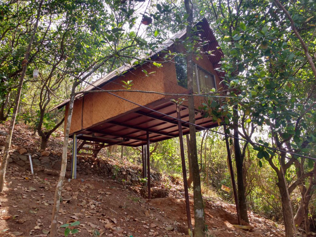
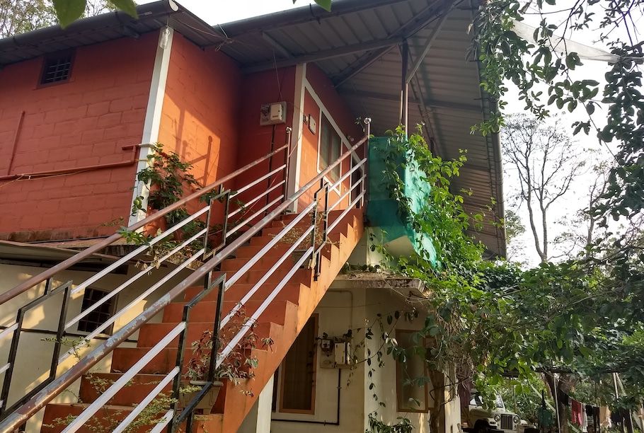
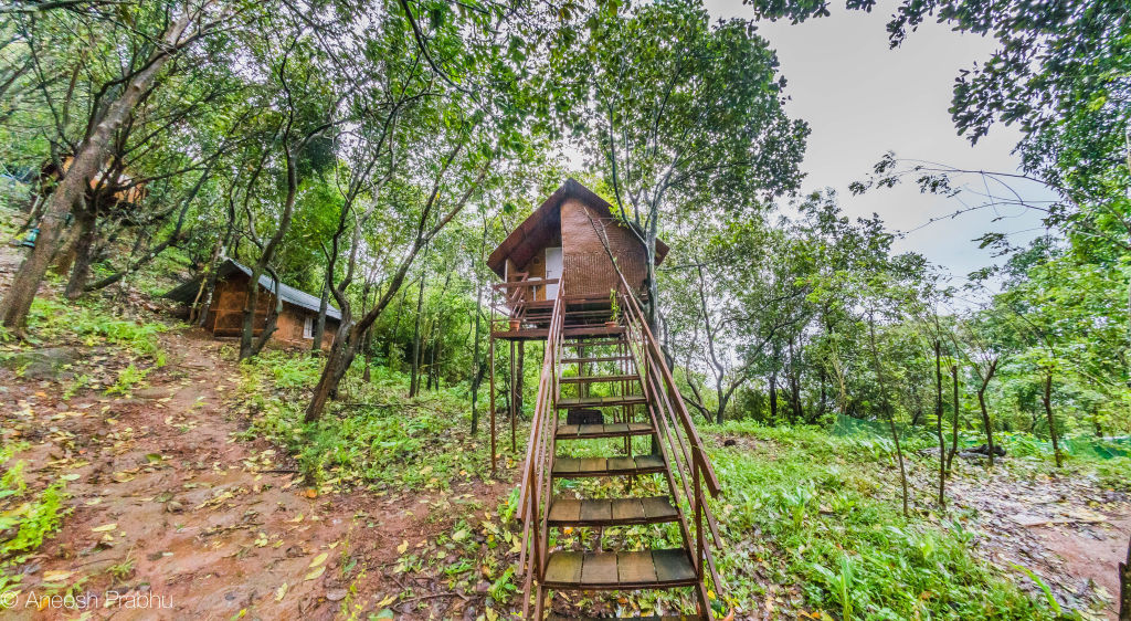
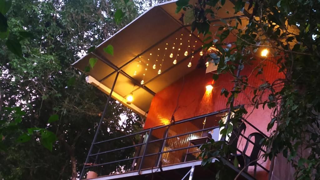
The area surrounding Paithalmala offers peaceful lodging options that allow visitors to stay close to nature without the crowds of large resort towns. Travellers can find rustic camping experiences, cosy plantation homestays, and quiet nature stays situated in the foothills and nearby villages on HireACamp. Staying locally provides a convenient base to begin morning walks before the midday sun warms the exposed grasslands.
Frequently asked questions
How difficult is the trek to Paithalmala?
The trek to Paithalmala is generally considered moderately easy to moderate. It involves an uphill walk of a few kilometres over forest trails and grassland ridges that most people with basic fitness can complete comfortably.
Are there leeches on the Paithalmala trail?
Yes, forest leeches are common along the lower woodland paths during the monsoon and immediate post-monsoon months. Wearing leech socks or applying salt and repellent helps protect your ankles.
What is the best time of day to start the hike?
Starting early in the morning is ideal because temperatures are cooler, mist often blankets the valley, and you can complete the uphill climb before the midday sun becomes strong on the open meadows.
Are there food and water stalls at the summit of Paithalmala?
No, there are no commercial stalls or water points along the upper ridge or at the summit. You should carry sufficient drinking water and food from the base village.
Where can I find accommodation near Paithalmala?
You can find local homestays, eco-lodges, and campsites around the foothills of Paithalmala and the wider Kannur district by browsing listings on HireACamp.
Where you'll be
Paithalmala Tourism Consortium, Kannur · 4 stays nearby shown with prices
Stays near Paithalmala
Book a place to stay close by
More places near Paithalmala
Within 20 km
Built from 0 Instagram posts by 0 creators. Every tip links back to the post it came from, and where creators disagree we show both sides.






