
Thamarassery Ghat
Viewpoint near Vythiri, Kerala
6.5 km from Vythiri
The nearest town, for stays, food and fuel.
Thamarassery Ghat, famously known as the Wayanad Churam, is a scenic mountain pass along the Western Ghats connecting Kozhikode with the high-altitude plateau of Wayanad in Kerala. Carved with nine sweeping hairpin bends, this mountain corridor draws road trippers and nature lovers for its misty valley panoramas, cascading roadside springs, and dense tropical forests. It serves as both a vital transit highway and an iconic viewpoint marking the gateway to the Wayanad hills.
Getting there
By road
- From VythiriNearest town16 min · 14 km
- From Mysuru3 hr 20 min · 163 km
- From Kochi5 hr 15 min · 241 km
- From Coimbatore5 hr 20 min · 243 km
Typical drive times without traffic. Stations and airports from OLA Maps; distances and typical drive times from OpenStreetMap (© OpenStreetMap contributors); notes from creators' Reels.
About Thamarassery Ghat
Written with AI from map data and general knowledge. Check prices and timings locally before you go.
The legendary mountain corridor
Thamarassery Ghat, locally referred to as Thamarassery Churam, is one of the most celebrated mountain roads in the Western Ghats of Kerala. Traversing National Highway 766, this twisting pass negotiates a steep elevation gain from the low-lying plains of Kozhikode district to the misty elevations of Lakkidi in Wayanad. The pass is widely recognized for its dramatic landscape, where ancient rainforest canopies cling to sheer rock faces and deep valleys plunge below the winding tarmac.
Historically, the ghat road was developed during the colonial era to connect the Malabar coast with the fertile, plantation-rich highlands of Wayanad and Mysore. Local folklore honors a tribal chieftain named Karinthandan, who is said to have guided foreign engineers through the impenetrable forest paths to establish this vital trade link. Today, traversing the nine distinct hairpin bends is considered an quintessential travel experience in northern Kerala, blending engineering history with raw natural splendor.
What to see along Thamarassery Ghat
The experience of traveling through Thamarassery Ghat begins with the gradual climb up the mountain slopes. As you ascend each hairpin curve, the coastal plains fall away behind you, replaced by sweeping vistas of rolling green ridges and deep forested gorges. The upper reaches near Lakkidi offer some of the most spectacular vantage points, where travelers often pause to take in the vast expanse of the Malabar lowlands stretched out beneath passing clouds.
During early mornings and late afternoons, thick banks of fog frequently roll in from the Arabian Sea, blanketing the road in a cool, atmospheric haze. Along the bends, natural mountain rills and small seasonal springs trickle down the rocks, creating lush micro-habitats filled with ferns, mosses, and endemic flora. Wildlife sightings are common along the route; bonnet macaques frequently perch along the safety parapets, while forest birds such as the Malabar grey hornbill can occasionally be spotted flitting among the high tree branches.
Read more
Best time to visit Thamarassery Ghat
The character of Thamarassery Ghat changes dramatically with the passing seasons, offering unique perspectives throughout the year. The post-monsoon and winter months, spanning from October through February, are generally considered the best time to visit. During this period, the air is crisp, the surrounding forests are vibrant green, and visibility is excellent for taking in long-range valley views without the disruption of intense downpours.
The summer months from March to May bring warmer temperatures during midday, though the top of the pass near Lakkidi remains significantly cooler than the coastal plains below. Evenings during summer often bring pleasant breezes and picturesque sunset views over the distant horizon. The southwest monsoon between June and September brings relentless rains, transforming the mountainside into an amphitheater of roaring waterfalls and swirling clouds. While the monsoon landscape is breathtakingly lush, the wet conditions require cautious driving due to slippery road surfaces and reduced visibility.
How to reach Thamarassery Ghat
Thamarassery Ghat is situated along National Highway 766, making it easily accessible by road from major transit hubs in Kerala. The nearest major city and transportation gateway is Kozhikode, which sits roughly fifty kilometers southwest of the pass. Kozhikode has an international airport and a well-connected railway station with direct trains arriving from major Indian cities including Bengaluru, Kochi, and Chennai.
From Kozhikode, travelers can take state transport buses, hire private taxis, or drive personal vehicles toward Kalpetta. The ghat ascent starts near Adivaram at the base and ends at Lakkidi at the top. If you are already in Wayanad, the viewpoint at Lakkidi is located approximately fifteen kilometers southwest of Kalpetta, making it a straightforward drive down the main highway. Public buses operate regularly across the pass between Kozhikode and various towns in Wayanad.
Places to visit around Thamarassery Ghat
A visit to Thamarassery Ghat pairs seamlessly with several prominent natural and cultural landmarks situated near the top of the pass. Just beyond the ninth hairpin bend sits the Chain Tree, a massive ficus tree tethered with heavy iron chains, steeped in local legend regarding the soul of the chieftain Karinthandan. A brief stop here provides a fascinating glimpse into the folkloric heritage tied to the construction of the ghat road.
A short drive further inland leads to Pookode Lake, a tranquil freshwater body surrounded by evergreen forests and gentle walking paths. For outdoor enthusiasts seeking elevated viewpoints, the trail toward Chembra Peak offers panoramic outlooks over the southern Wayanad hills and its famous heart-shaped lake. Further northwest, the expansive waters of Banasura Sagar Dam and the rugged slopes of Banasura Hill provide opportunities for lakeside walks and landscape photography, allowing travelers to explore the varied terrain of the plateau.
Tips for driving and visiting the Ghat
Navigating Thamarassery Ghat requires attentive driving due to continuous bends, varying vehicle sizes, and sudden weather shifts. The road is heavily utilized by interstate freight trucks, passenger buses, and smaller vehicles. Drivers should always adhere to lane discipline, yield to vehicles climbing uphill, and avoid overtaking on sharp curves or blind turns. Use lower gears while descending to prevent brake overheating.
If you wish to stop and admire the panorama, pull into designated parking alcoves or wide shoulders near the viewpoint areas rather than stopping on active carriageways. Avoid leaving trash behind along the road or feeding the wild monkeys, as handouts disrupt natural foraging habits and encourage dangerous roadside behavior. Checking local weather updates and traffic alerts before embarking on the ascent is advisable, especially during the monsoon season when occasional landslides or tree falls can cause temporary traffic diversions.
Where to stay near Thamarassery Ghat
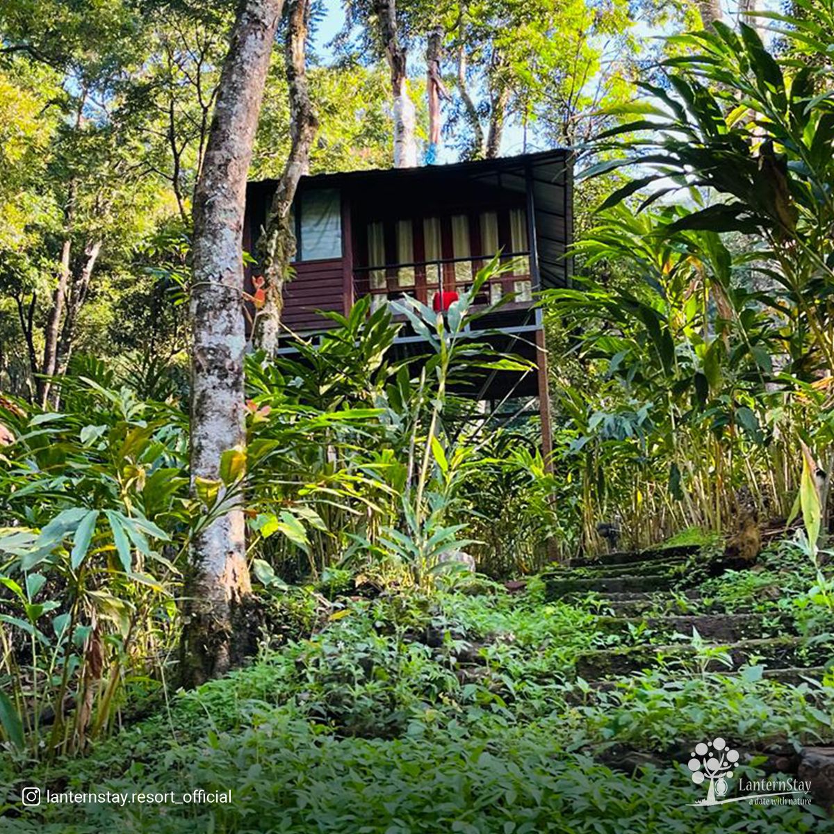
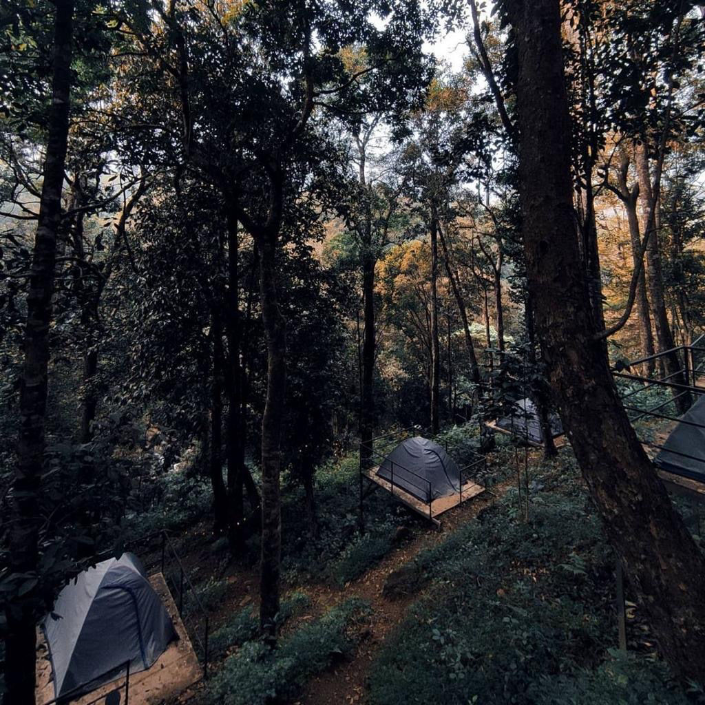
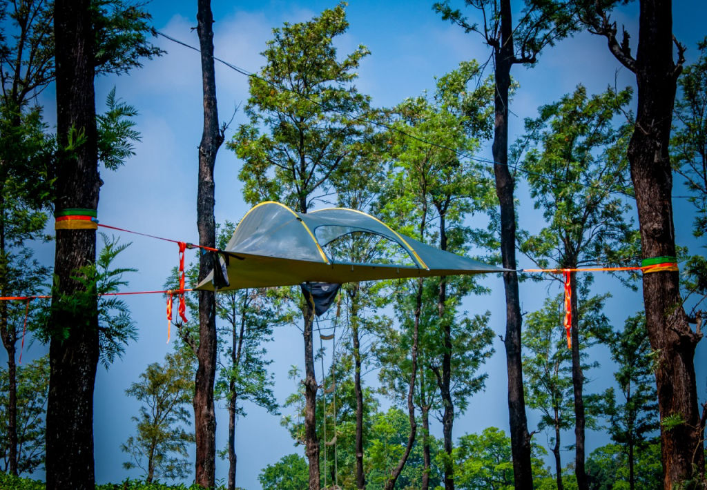
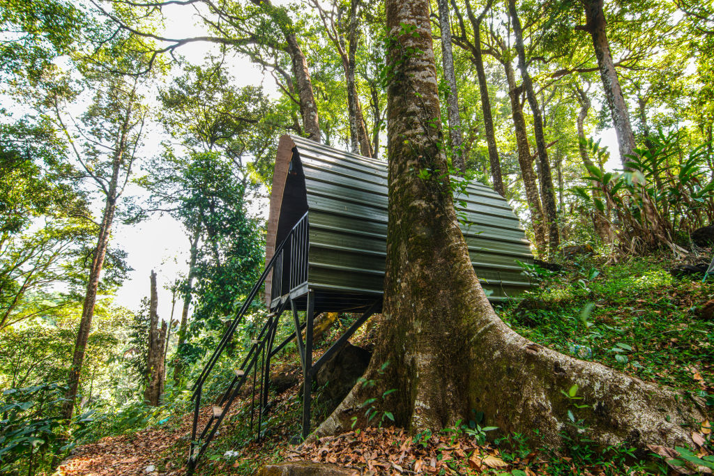
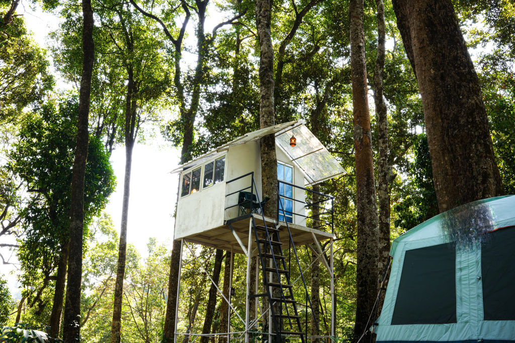
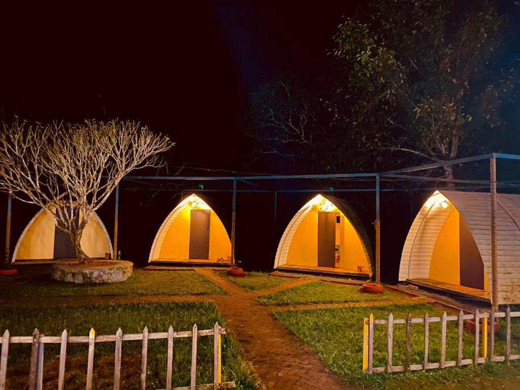
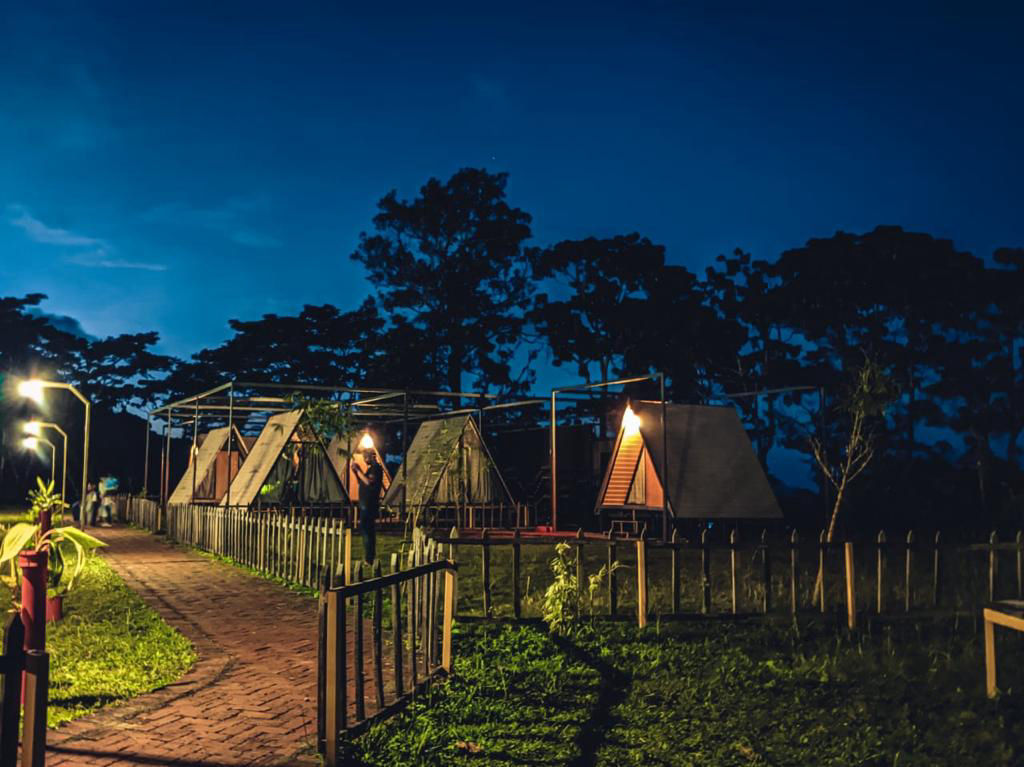
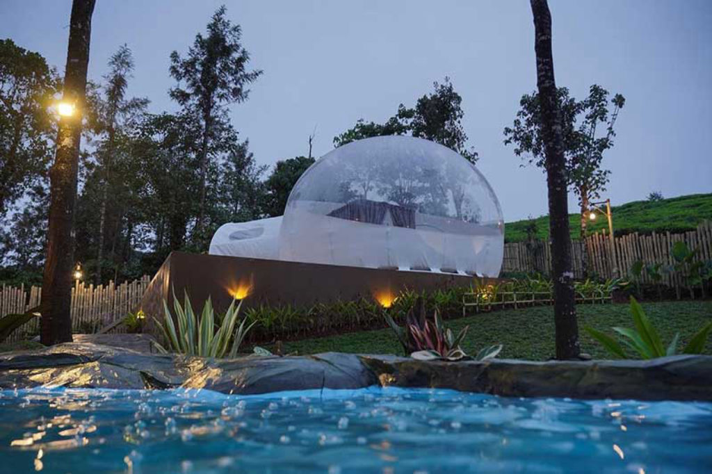
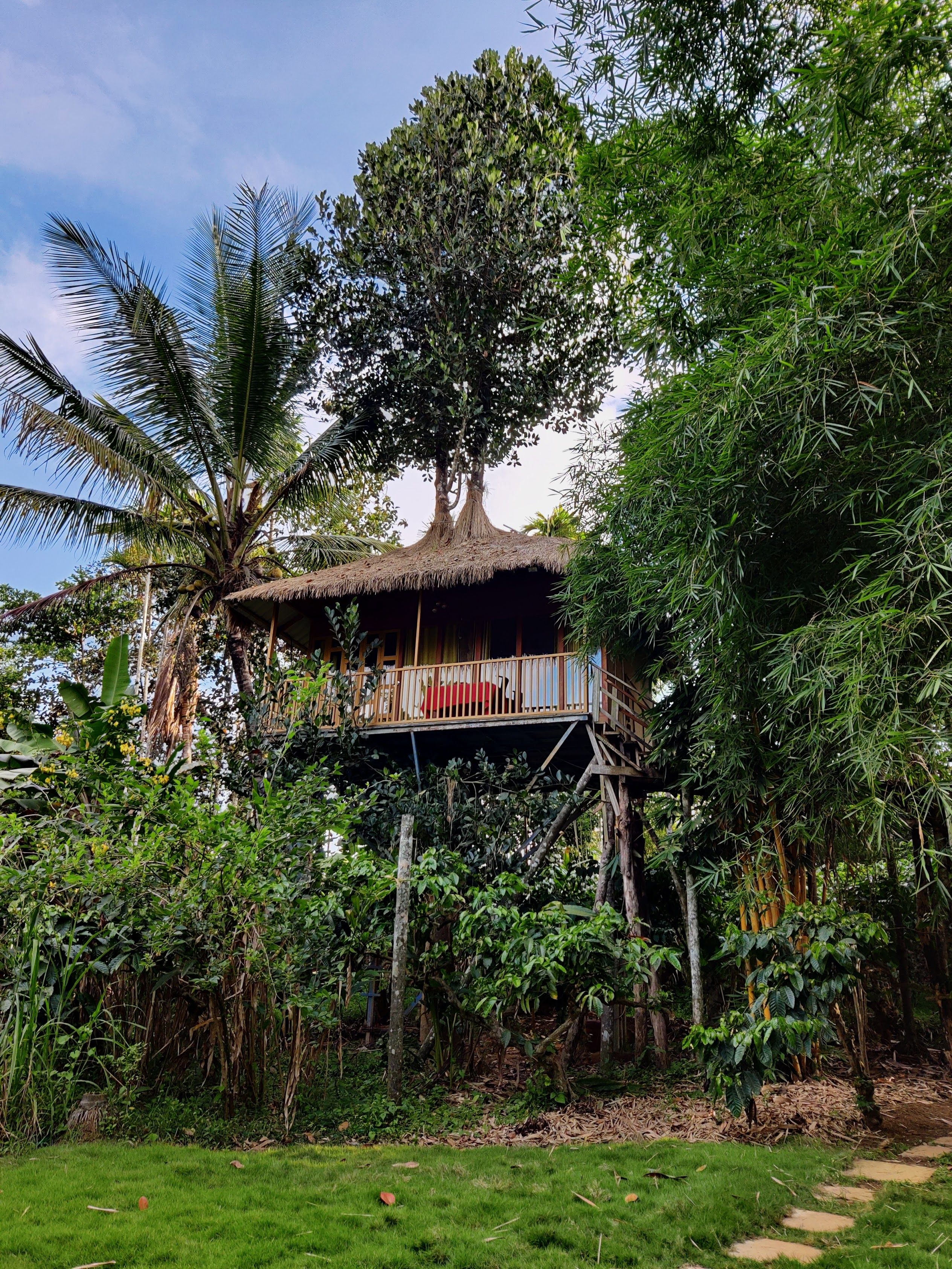
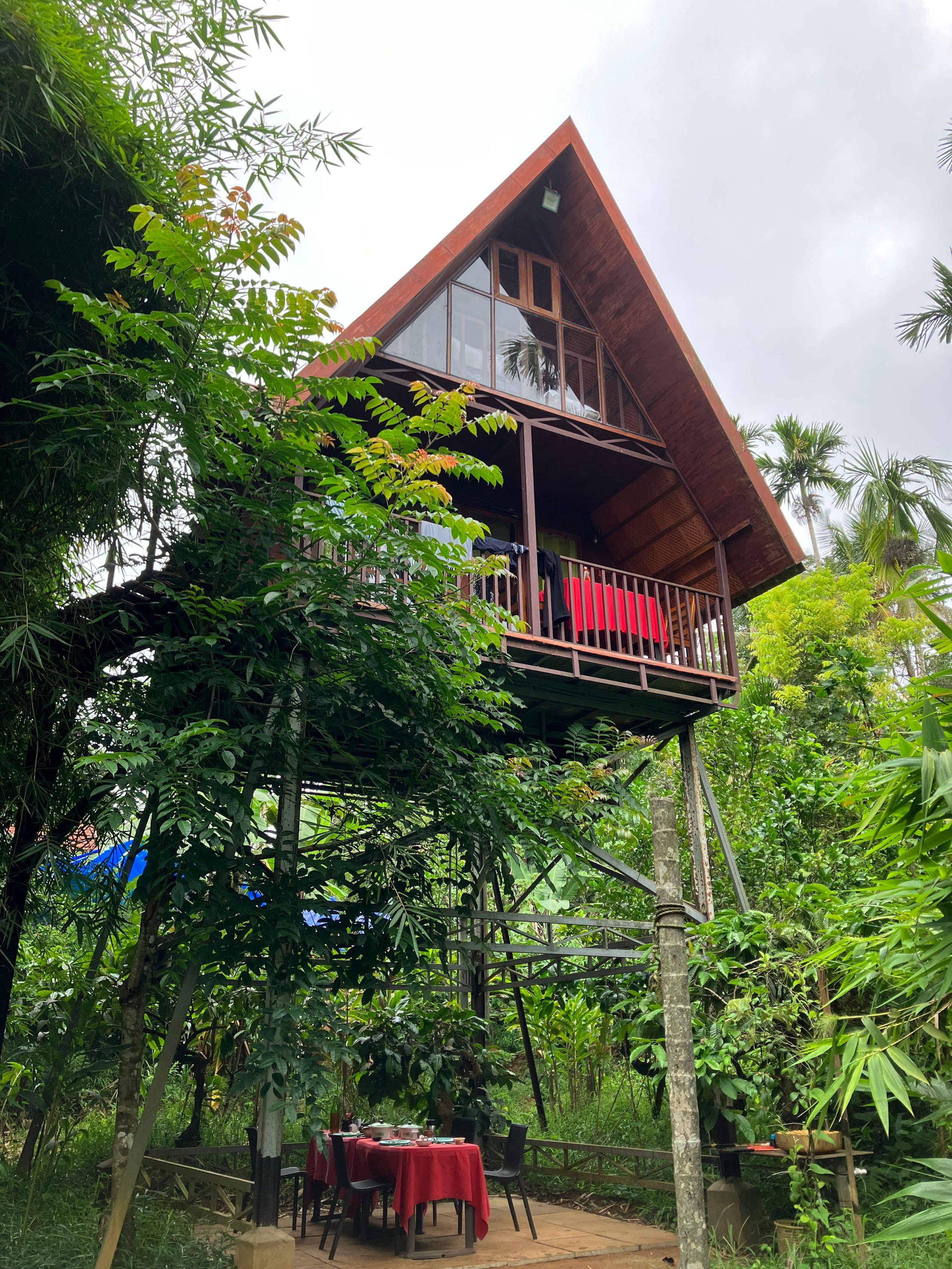
Travelers exploring Thamarassery Ghat have an extensive selection of scenic accommodations distributed across the surrounding hills. The forested regions around Lakkidi and Vythiri offer peaceful stays surrounded by coffee and spice plantations, where cool mountain breezes and lush foliage create a restorative atmosphere. Kalpetta, being the nearest commercial center, also provides convenient options close to regional transport links.
Whether you are looking for immersive wilderness camping amidst native trees, cozy family-run homestays tucked into private estates, or nature-oriented cottages overlooking mountain streams, a broad range of authentic stays can be found on HireACamp. Booking your stay nearby allows you to explore the ghat pass in the peaceful hours of dawn or dusk when traffic is minimal and mist hangs heavy over the valleys.
Frequently asked questions
How many hairpin bends are there on Thamarassery Ghat?
Thamarassery Ghat features nine distinct hairpin bends as it climbs the Western Ghats from Adivaram in the plains up to Lakkidi in Wayanad.
What is the best time of day to drive through Thamarassery Ghat?
Early mornings and late afternoons are ideal for traveling through the pass, offering cooler temperatures, scenic valley mist, and generally lighter traffic.
Can you see wildlife along Thamarassery Ghat?
Bonnet macaques are commonly spotted along the roadside barriers, and diverse bird species inhabit the canopy. Visitors should avoid feeding or disturbing the wildlife.
Is driving through Thamarassery Ghat safe during the monsoon?
The road remains open during the monsoon, but heavy rains cause slippery tarmac and thick fog. Cautious driving, careful speed management, and checking local traffic updates are advised.
What is the nearest town to Thamarassery Ghat?
Kalpetta is the nearest major town on the Wayanad plateau side, situated approximately fifteen kilometers from the top of the pass at Lakkidi.
Where you'll be
Lakkidi · 10 stays nearby shown with prices
Stays near Thamarassery Ghat
Book a place to stay close by
More places near Thamarassery Ghat
Within 20 km


Built from 0 Instagram posts by 0 creators. Every tip links back to the post it came from, and where creators disagree we show both sides.






