
Tikona Fort
Fort near Kashig
2.3 km from Kashig
The nearest town, for stays, food and fuel.
Tikona Fort, historically known as Vitandgad, is a prominent hill fortification in the Mawal region of Maharashtra. Rising to a distinct triangular peak above the surrounding plains, the fort draws hikers, history buffs, and nature lovers seeking dramatic vistas over the Sahyadri mountains and Pawna Lake. Its manageable ascent, combined with ancient stone architecture and rock-cut cisterns, makes it one of the most accessible and rewarding trekking destinations in the Western Ghats.
Getting there
By road
- From KashigNearest town10 min · 5.9 km
- From Pune1 hr 35 min · 52 km
- From Mumbai 2 hr 10 min · 117 km
- From Nashik5 hr 5 min · 240 km
Typical drive times without traffic. Stations and airports from OLA Maps; distances and typical drive times from OpenStreetMap (© OpenStreetMap contributors); notes from creators' Reels.
About Tikona Fort
Written with AI from map data and general knowledge. Check prices and timings locally before you go.
The history and landscape of Tikona Fort
Perched at an elevation of over 3,500 feet above sea level, Tikona Fort derives its name from its clean, triangular profile that stands out prominently against the Mawal skyline. Historically referred to as Vitandgad, the fort has guarded the trade and military routes traversing the Konkan and Deccan plateaus for centuries. Control of the citadel shifted between various regional powers, including the Nizam Shahi dynasty, the Marathas under Chhatrapati Shivaji Maharaj, and later the Mughals and the British.
The terrain surrounding the fort is typical of the northern Western Ghats, defined by stepped basaltic plateaus, dry deciduous forests, and fertile valleys fed by seasonal streams. From the summit, the ramparts provide unobstructed views of the blue expanse of Pawna Lake, as well as neighbouring high-altitude forts like Tung, Lohagad, and Visapur. The cliff faces are home to numerous bird species, including raptors that glide on the warm updrafts rising off the rocky valley walls.
Trekking route and key sights on the fort
The trek to Tikona begins at Tikona Peth, a small village situated at the base of the hill. From the trailhead, a well-defined dirt track cuts through scrubland and climbs gradually toward the outer fortifications. The lower trail is straightforward and family-friendly, winding past ancient water cisterns and small shrines. Along the way, hikers encounter an imposing rock-cut cave system dating back several centuries, which once provided shelter to guards and Buddhist ascetics.
As the trail nears the upper citadel, the gradient steepens significantly into a flight of tall, rock-cut stone steps carved straight out of the cliff face. Safety railings have been installed along the most vertical sections to aid balance. Passing through the fortified bastions and the massive gateway, known as the Mahadarwaja, hikers reach the expansive upper plateau. Key structures here include a historic grinding wheel once used for mixing lime mortar, several deep water tanks known locally as tankas, and the Trimbakeshwar Mahadev temple. The trail culminates at the flag bastion on the uppermost point, where a stone platform offers a complete panorama of the Pawna dam catchment area.
Read more
Best time to visit Tikona Fort
The atmosphere at Tikona Fort changes dramatically with the seasons, making timing an important consideration for travellers. The monsoon months, from late June through September, transform the entire Mawal region into an emerald landscape. Rains fill the mountain streams, mist rolls across the bastions, and low-hanging clouds often envelop the summit plateau. However, rain also makes the steep stone stairs slick, requiring cautious footing and reliable footwear.
From October to February, the weather is cooler and the skies remain consistently clear. This post-monsoon and winter window is widely regarded as the most comfortable period for hiking, offering crisp morning breezes, lower humidity, and exceptional visibility across the surrounding peaks and lakes. By March, summer sets in across Maharashtra, bringing high daytime temperatures and dry landscape conditions. Hikers visiting between March and May should begin their ascent around dawn to avoid the harsh midday sun.
How to reach Tikona Fort
Tikona Fort is located in the Pune district and can be reached easily by road from both Pune and Mumbai. Travellers driving from Pune generally take the route via Paud or Kamshet, turning off onto the rural roads that lead toward Pawna Dam and Tikona Peth. From Mumbai, the usual approach is along the Mumbai-Pune Expressway up to Kamshet, followed by a scenic drive through countryside roads along the northern banks of the reservoir.
For those relying on public transport, Kamshet serves as the closest railway stop, connected by local suburban trains running between Pune Junction and Lonavala. From Kamshet railway station, local buses and shared transport vehicles travel toward the villages ringing Pawna Lake. Travellers can hire a local vehicle from Kamshet to take them directly to the base village at Tikona Peth, though arrangements for the return journey should be coordinated in advance due to limited frequency of public transport in the interior valley.
Tips for your visit
The hike up Tikona Fort requires an average fitness level and generally takes between one and two hours from the base village to the summit. Sturdy shoes with dependable grip are essential, particularly on the polished stone steps near the main entrance gates. Carrying adequate drinking water is crucial, as there are no potable water sources on top of the fort, and dehydration can set in quickly during warmer days.
There are no formal dining facilities on the plateau, though basic local stalls in Tikona Peth village often serve tea, snacks, and traditional Maharashtrian meals. Visitors should carry light snacks for energy on the trail and must take care to pack out all waste, as littering damages the fragile mountain habitat. Starting the trek early in the morning helps beat both the heat and the peak weekend crowds, allowing for a quieter experience on the summit.
Places to visit around Tikona Fort
The landscape surrounding Tikona Fort is packed with historic and natural destinations that fit well into a day trip or weekend itinerary. Just a short drive from the base lies Pawna Lake, a popular destination for water-side picnics, photography, and evening walks along the shoreline. Close by, Hadshi Lake offers quiet viewpoints framed by rolling agricultural fields.
Across the valley, Tung Fort presents a steeper, more challenging peak hike with dramatic sheer drops. Further toward the Pune-Mumbai highway, travellers can explore the ancient Buddhist rock architecture of Karla Caves, carved into the hillsides during the Satavahana era. The twin forts of Lohagad and Visapur are also located within easy driving distance, making the Mawal corridor an exceptional base for exploring the military architecture and natural heritage of the Sahyadri range.
Where to stay near Tikona Fort
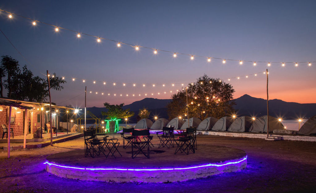
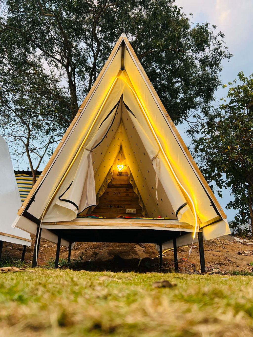
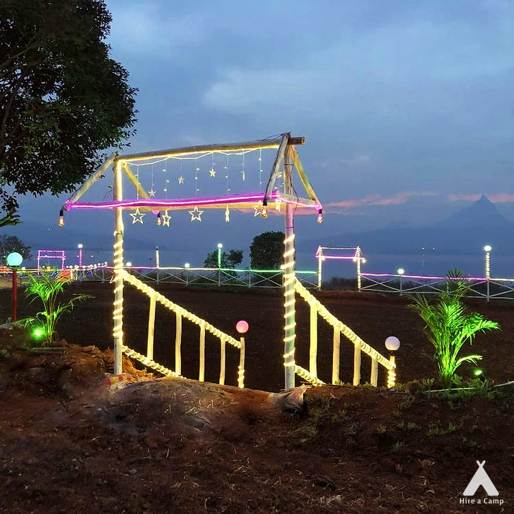
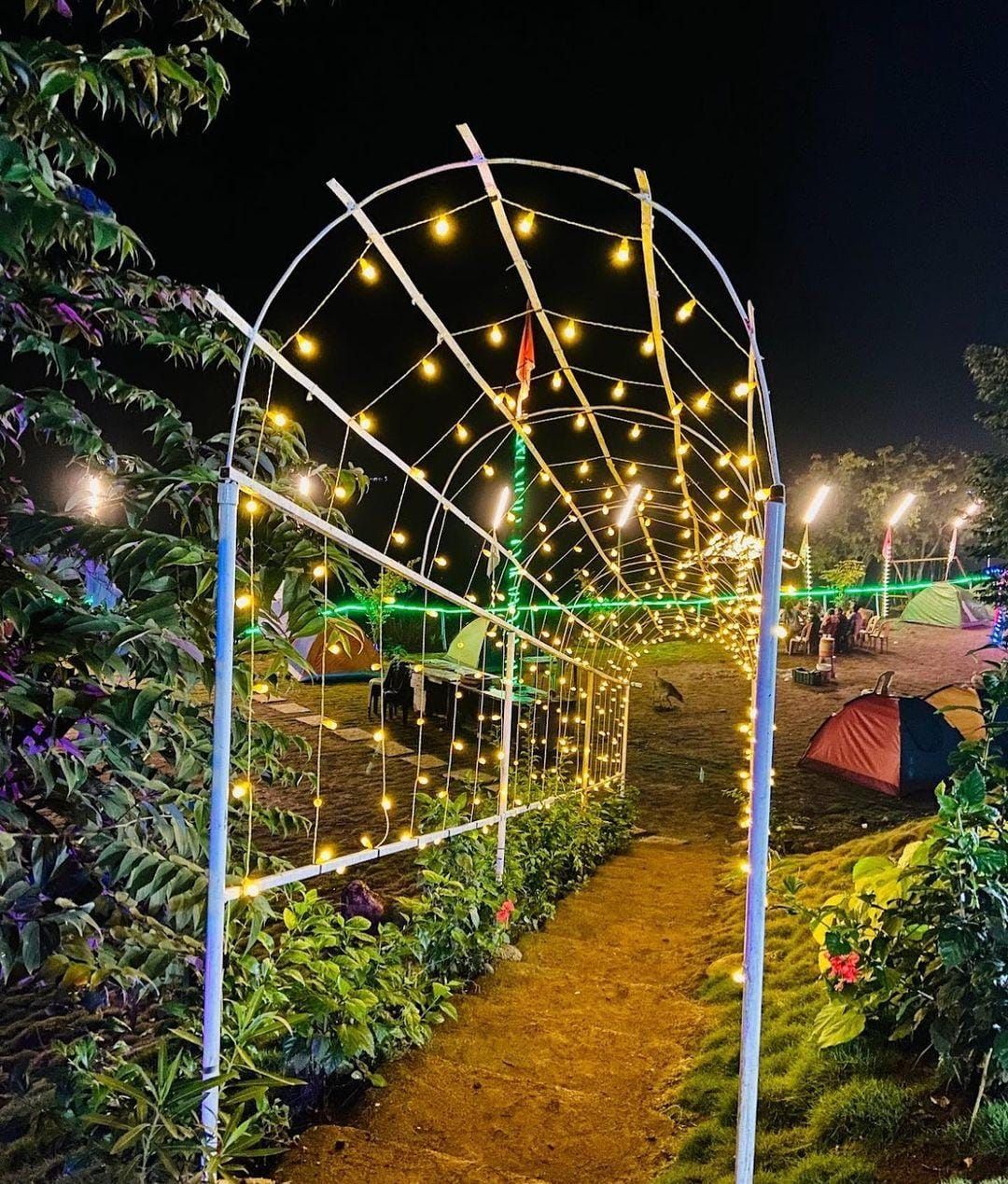
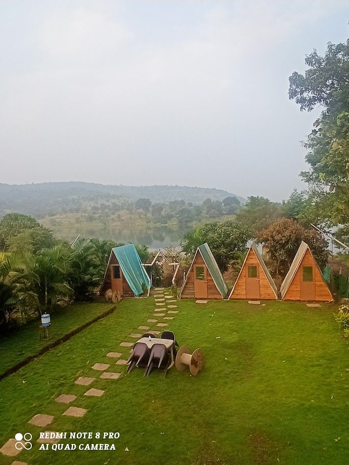
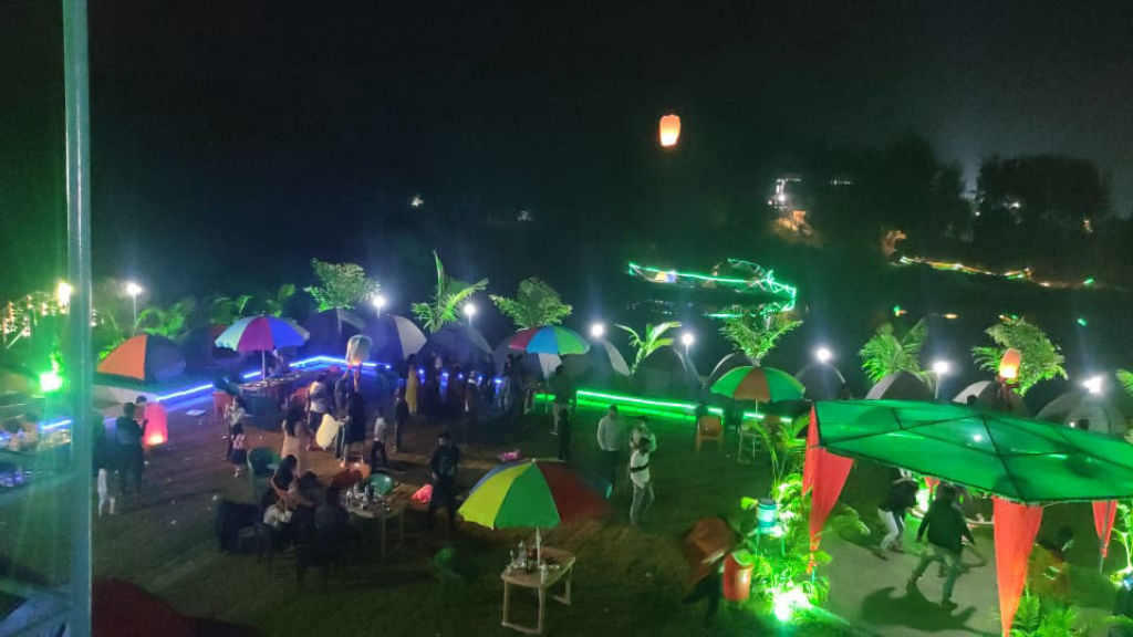
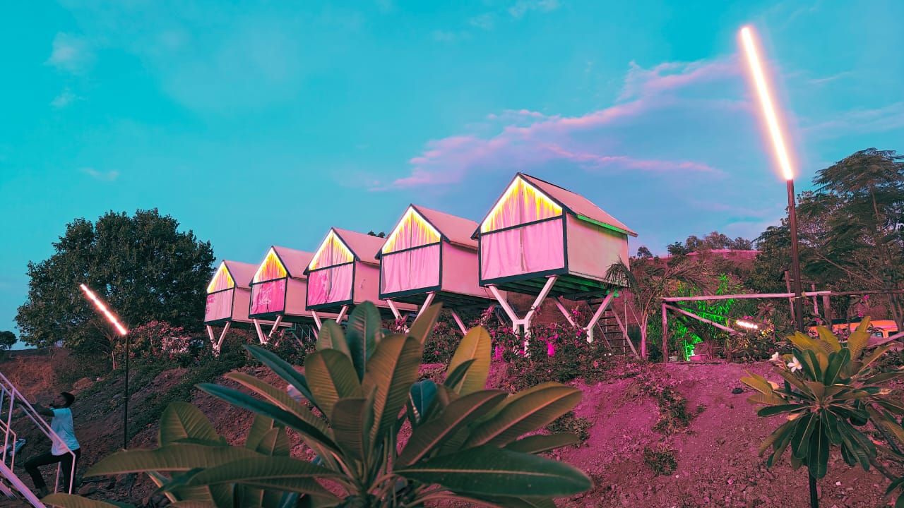
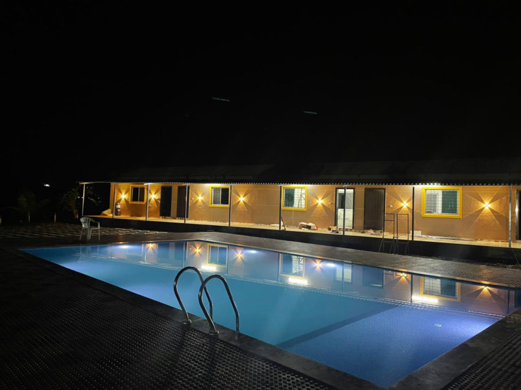
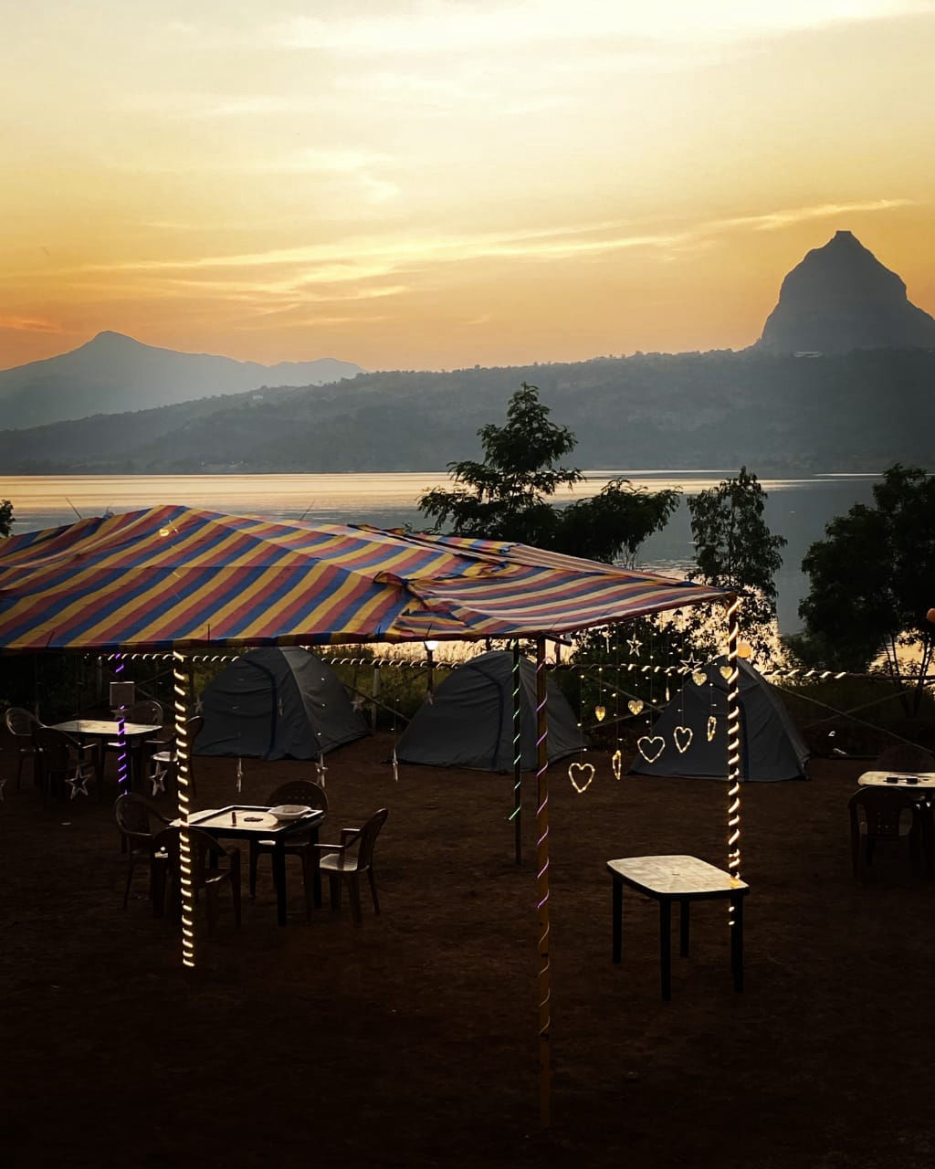
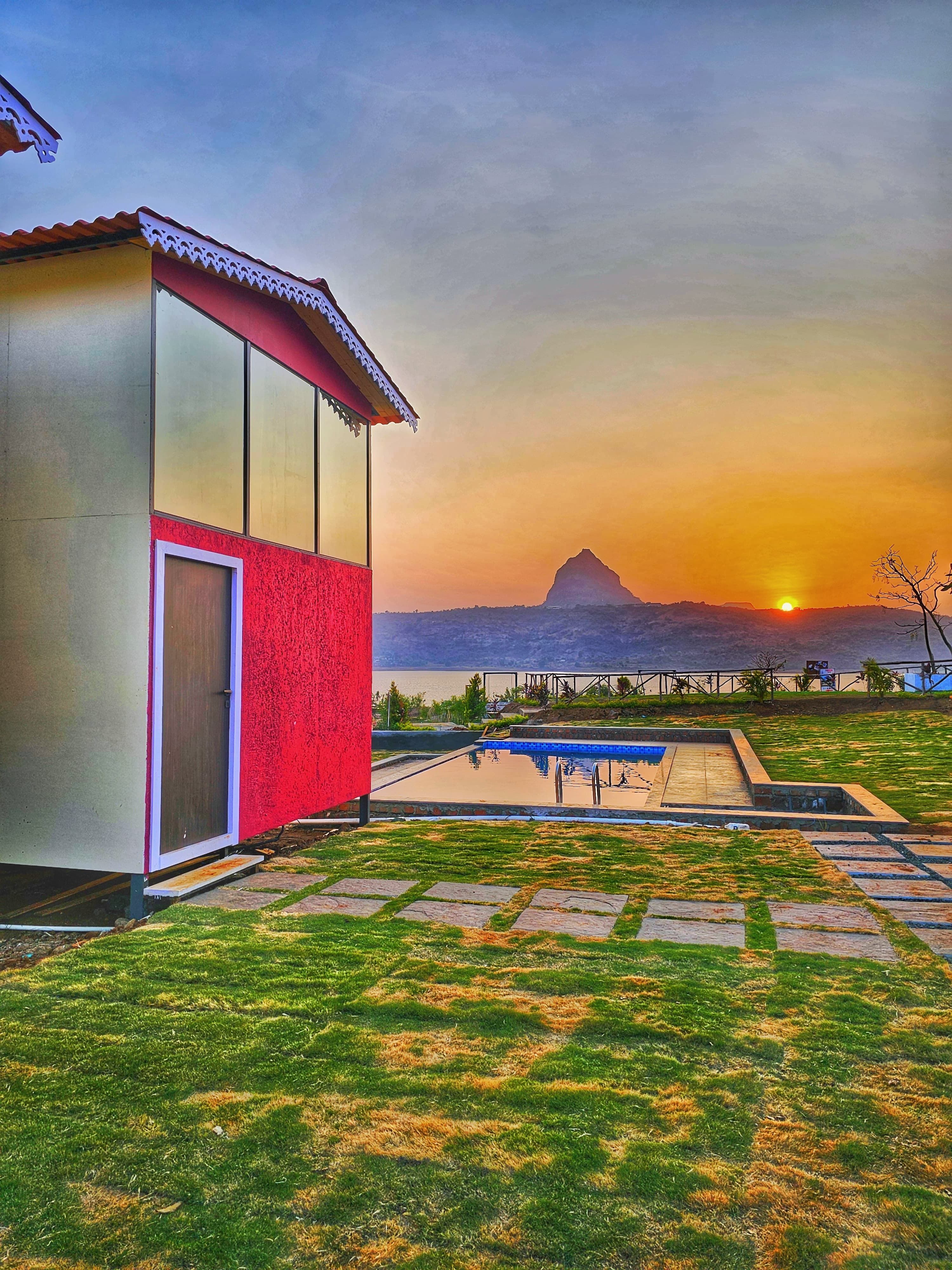
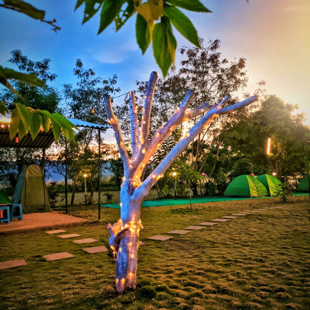
The rural valleys around Tikona Fort and Pawna Lake feature a range of outdoor stays that allow visitors to remain close to nature. Options in the area range from rustic lakeside campsites and farm retreats to comfortable family-run homestays tucked into traditional Mawal villages. These stays provide convenient bases for early morning departures to the fort, avoiding long drives on the day of the trek. To discover and reserve reliable campsites, homestays, and outdoor getaways in the vicinity of Tikona Fort, visit HireACamp.
Frequently asked questions
How difficult is the trek to Tikona Fort?
The trek to Tikona Fort is generally rated as easy to moderate, taking roughly an hour to an hour and a half to reach the summit. While the early sections are a gradual walk on dirt trails, the final approach involves steep, rock-cut steps equipped with safety railings.
Can beginners and children hike Tikona Fort?
Yes, beginners and older children with basic physical stamina can complete the hike comfortably. Care and direct supervision are required near the open cliff edges and when navigating the steep stone staircases leading to the top gate.
Are there drinking water facilities at the top of Tikona Fort?
No, potable drinking water is not readily available on the fort plateau, although ancient water storage cisterns exist. Hikers should carry at least two litres of drinking water per person from the base village.
What is the best time of day to start the trek?
Early morning is the ideal time to begin the ascent, especially between October and May, to avoid the midday sun and enjoy cooler temperatures. Starting early also ensures clearer views from the summit before haze sets in.
What other forts can be seen from the summit of Tikona?
From the highest bastion of Tikona, visitors can clearly see Tung Fort across Pawna Lake, as well as the prominent ridges of Lohagad Fort and Visapur Fort situated toward the northwest.
Where you'll be
Mawal, MH · 12 stays nearby shown with prices
Stays near Tikona Fort
Book a place to stay close by

More places near Tikona Fort
Within 20 km


Lists for this area
Ranked by how many creators recommend each place


Built from 0 Instagram posts by 0 creators. Every tip links back to the post it came from, and where creators disagree we show both sides.






