Monsoon getaways near Bhatta
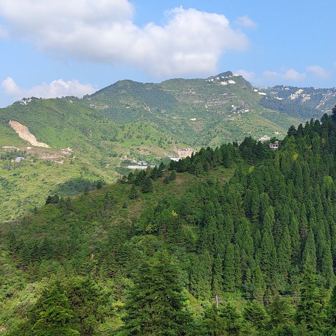
This guide highlights the most recommended monsoon getaways near Bhatta, spanning misty ridgelines, quiet mountain hamlets, and lush foothills across the Garhwal region. It suits road-trippers, day hikers, and travellers looking to trade busy urban routes for cool pine forests, open mountain views, and scenic valleys. Whether you are seeking a short walk through cloud-covered deodar woods or a riverside picnic, these spots capture the distinct charm of the rainy season.
Top viewpoints and mountain ridges near Bhatta
When monsoon clouds roll across the Garhwal Himalayas, the elevated ridges near Bhatta transform into atmospheric viewpoints. Gun Hill, located just above Mussoorie's Mall Road, serves as the second-highest peak in the town. Travellers reach it by foot along a winding trail or via a short aerial ropeway to watch low-hanging clouds sweep over the Doon Valley and distant peaks.
Further along the ridge sits George Everest House in Khanij Nagar. This historic estate once served as the home and laboratory of the Surveyor General of India. Today, visitors explore the restored heritage structure before taking the path toward the crest of George Everest Peak, where open grassy ridges offer unobstructed vistas of both the Himalayan ranges and the plains below. For an equally dramatic setting adorned with thousands of Tibetan prayer flags, Dalai Hills in the Charleville area provides a calm walking trail and wide outlooks over the valleys.
Quiet forest walks in Landour
Perched just uphill from Mussoorie, the cantonment settlement of Landour remains one of the most characterful destinations to visit during the monsoon. The winding lanes here are lined with mature stands of deodar, oak, and pine, often wreathed in dense white mist. Walking along these tranquil paths allows visitors to enjoy heritage colonial architecture, birdsong, and crisp mountain air.
Along Landour's highest ridgeline, Lal Tibba Scenic Cafe offers a dedicated viewing deck looking out across the Garhwal ranges and deep valleys. Further along the quiet Civil Bypass Road, La La Landour provides a welcoming stop where travellers sit indoors or out on the patio to admire views of the Doon Valley over hot drinks and baked goods while picking up local postcards.
Scenic drives and riverside valleys
Travelling downhill toward the Doon basin opens up an entirely different monsoon landscape. Mussoorie Road serves as a rewarding scenic corridor connecting the valley to the foothills, lined with viewpoints that look down across Dehradun and up toward forested mountain crests.
In the lower foothills east of Dehradun, Maldevta Road traces the meandering Song riverbed against rolling green hills. Independent creators recommend morning visits along this stretch when the air is crisp and traffic is light. Travellers often pause by the water to enjoy roadside seasonal waterfalls or head to Maldevta Picnic Spot in Thewa. This open riverside flat is a popular destination for riverside day outings, gentle river walks, and self-supported camping trips.
Hikes and forest waterfalls further afield
For those willing to venture a little farther into the hills, Bhadraj Temple sits on an ancient western ridge beyond Mussoorie. Dedicated to Lord Balbhadra, the shrine overlooks both the Doon Valley and the Jaunsar Bawar region. The ridge walk up to the temple courtyard is a memorable monsoon trek, often taking hikers above drifting layers of cloud to take in expansive panoramas.
Deep within the forested Kanaser Range near the hill station of Chakrata, Tiger Fall offers a dramatic outdoor excursion. Fed by mountain streams, the waterfall tumbles into a broad, clear plunge pool framed by sheer rock walls and dense woodland, making it a refreshing escape for confident walkers and outdoor lovers.
Monsoon travel tips and where to stay
Rain in the Garhwal hills brings vibrant greenery and dramatic cloudscapes, but mountain roads require extra care. Fog can reduce visibility on routes like Mussoorie Road, and rain can make walking trails slick. Pack sturdy footwear with good grip, a reliable rain shell, and warm layers, as evening temperatures drop noticeably when rain showers pass through. Check local weather reports and road conditions before setting out, especially for outlying drives toward Chakrata or ridge walks to Bhadraj.
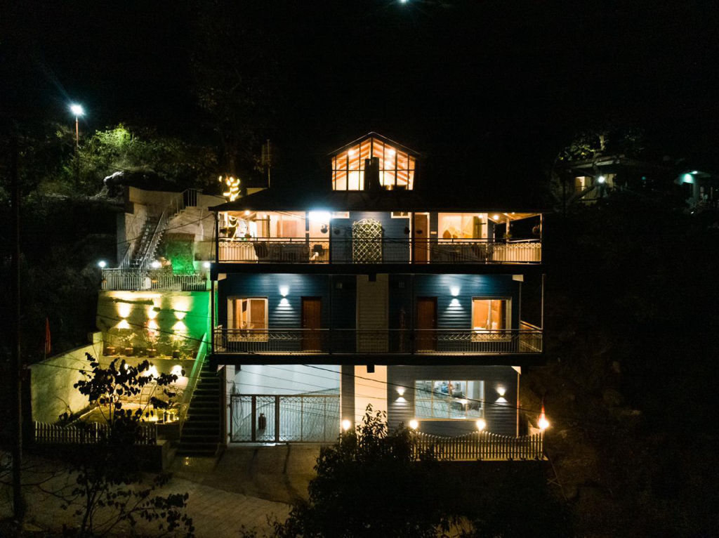
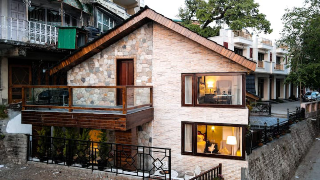
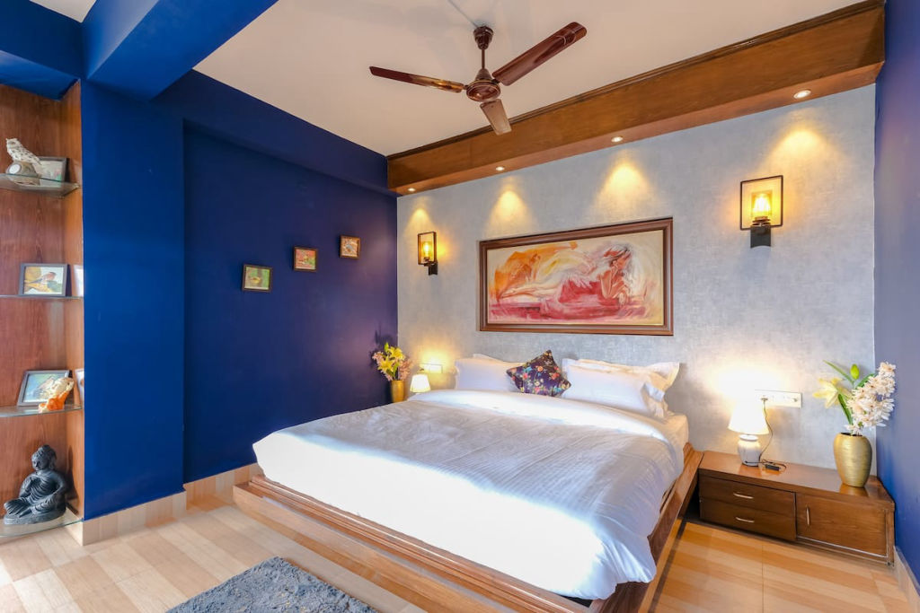
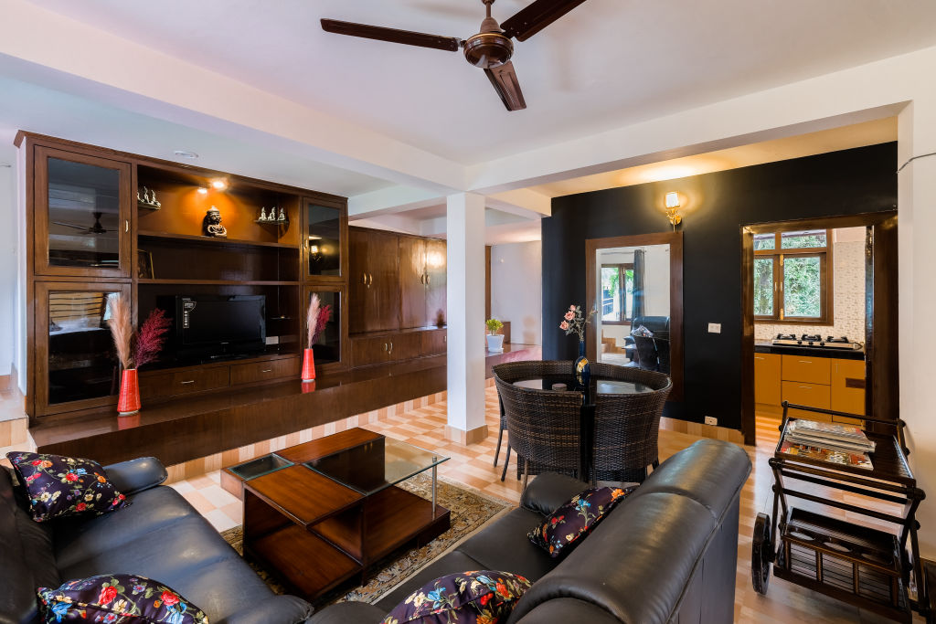
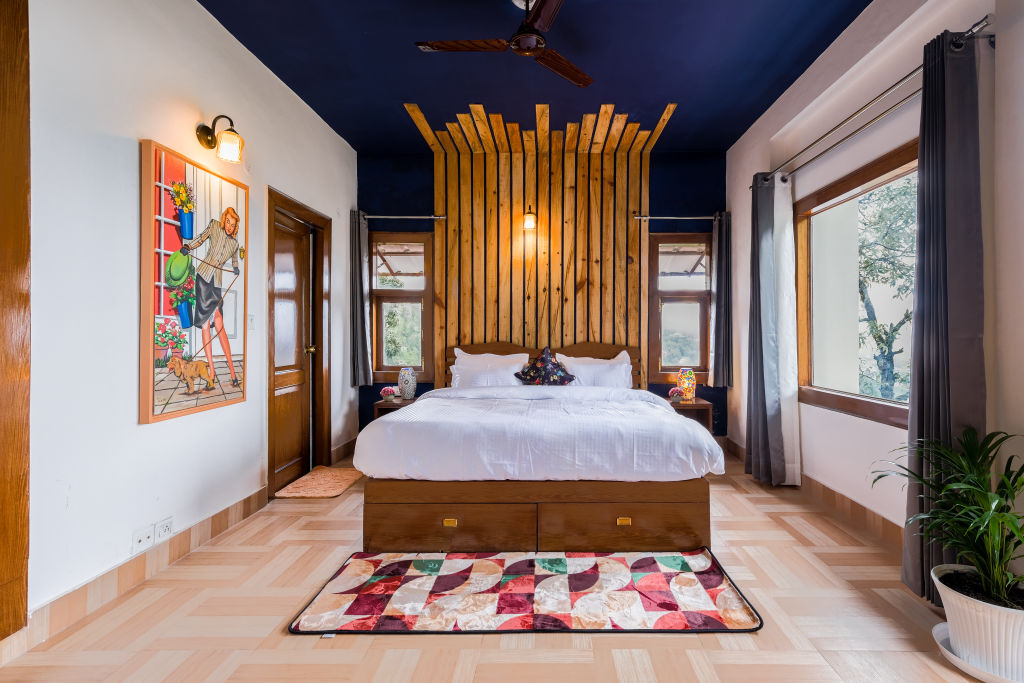
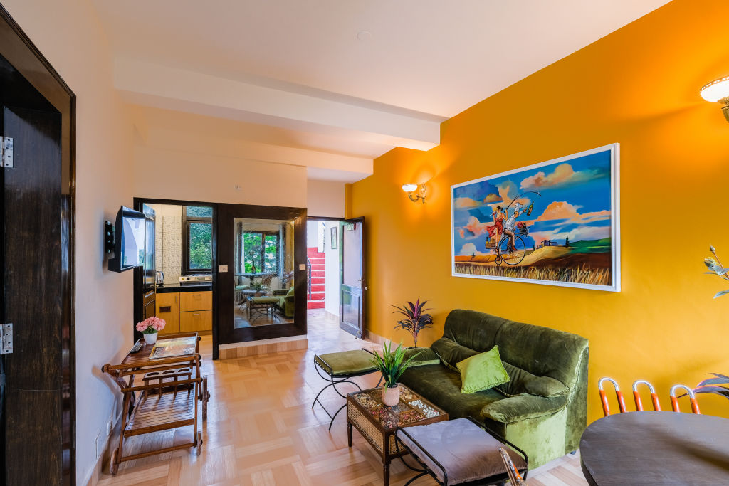
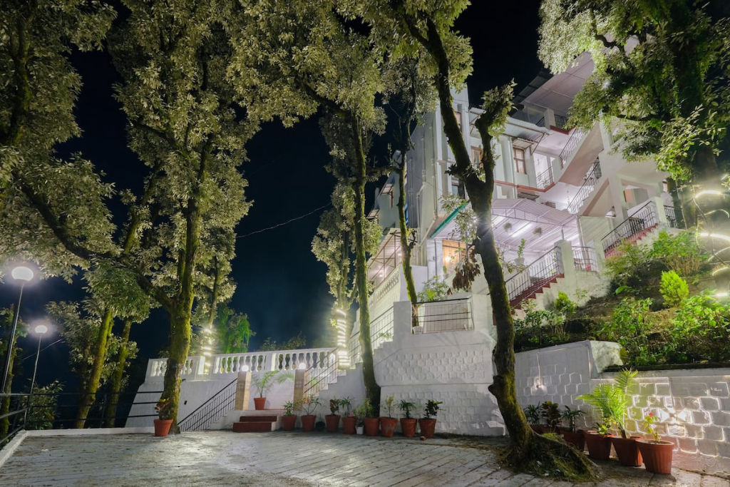
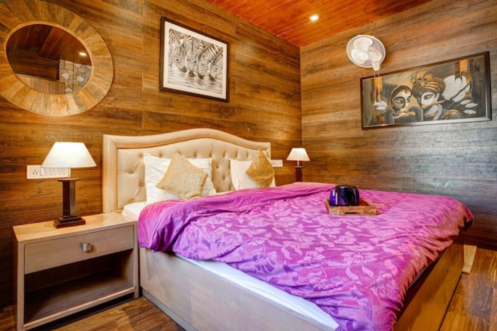
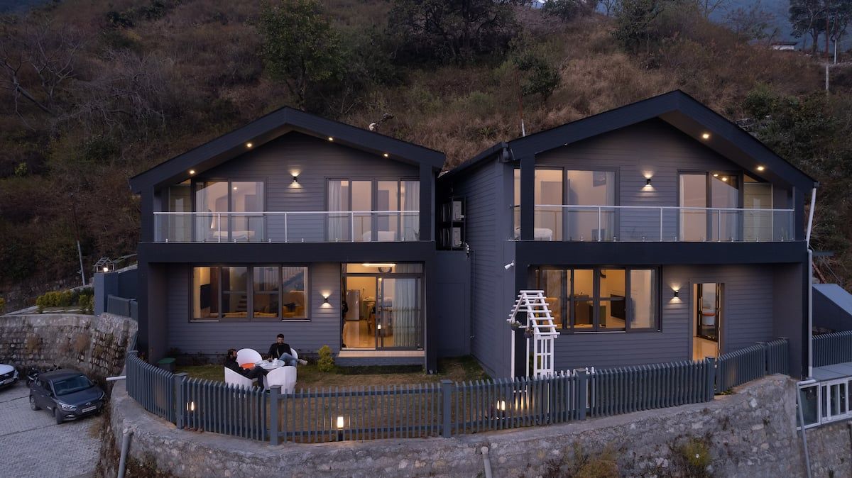
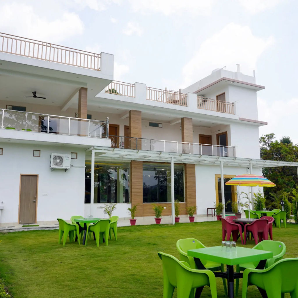
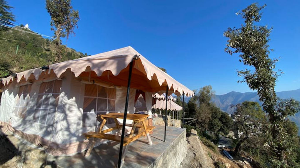
If you plan to turn your getaway into an overnight stay, HireACamp offers verified outdoor camps, homestays, and quiet nature stays across Mussoorie, Landour, and the surrounding Uttarakhand hills, allowing you to base yourself close to the trails and viewpoints.
Written with AI from creators' posts and map data. Check prices and timings locally before you go.
11 places · 31 creator recommendations · Updated today
Ranked by how many independent creators recommend each place, not by who paid. The list updates itself as new posts come in.


Frequently asked questions
What should travellers pack for a monsoon trip near Bhatta?
Bring a dependable waterproof jacket or umbrella, non-slip hiking shoes for wet stone pathways and trails, and a light fleece or warm layer for cool evenings. A waterproof cover for your daypack is also useful for keeping electronics dry during sudden downpours.
Can you visit Landour easily from Bhatta during the rains?
Yes, Landour is situated only a short drive uphill from Bhatta. While driving up, take extra care around winding mountain curves and watch for patches of thick mist that occasionally reduce road visibility.
What is the best time of day to explore Maldevta Road?
Morning is the ideal time to visit Maldevta Road, as temperatures are cool, the light across the foothills is clear, and the river valley is generally quieter before afternoon day-trippers arrive.
Is the hike to Bhadraj Temple suitable during the rainy season?
The ridge trail to Bhadraj Temple can be completed in the monsoon, but walkers should choose a clear day to avoid slippery dirt paths and ensure wide views above the cloud line.
Stays near Bhatta
Make a trip of it