Monsoon getaways near Timilimansingh
This guide covers scenic monsoon getaways near Timilimansingh, spanning the quiet foothill valleys of Dehradun up to the cloud-covered ridges around Mussoorie. It is well suited for road trippers, nature lovers, and anyone seeking fresh mountain air and vivid green landscapes during the rainy season. Whether you want a tranquil riverside picnic or an invigorating ridge hike, these destinations showcase the charm of Uttarakhand in the monsoon.
Top mountain viewpoints and ridge walks
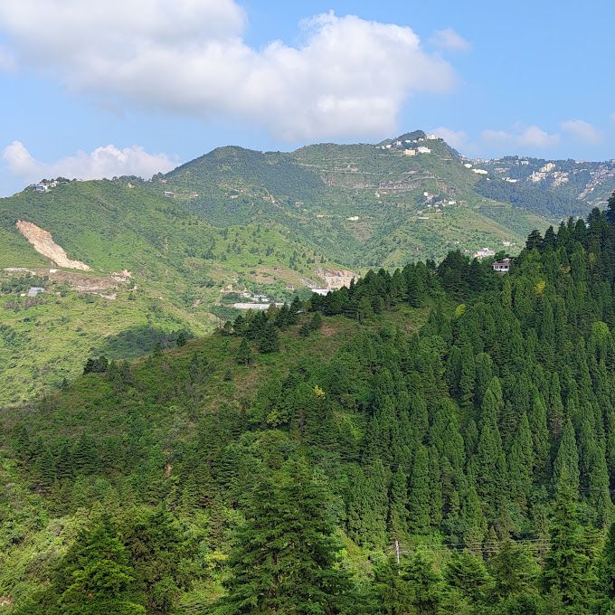
The higher ridges near Mussoorie offer dramatic panoramas when the monsoon mist clears. Gun Hill, Mussoorie, situated roughly 10 kilometres from Timilimansingh, is the second-highest peak in the area. Visitors can reach it by a scenic ropeway or an uphill walking trail to take in wide views of the Garhwal Himalayan range and the Doon Valley, as well as colonial-era history.
Further west along the ridge, George Everest House in Khanij Nagar sits about 14 kilometres away. Once the home and laboratory of Sir George Everest, this restored heritage estate features exposed ridgeline trails leading up toward George Everest Peak. For a quieter vantage point, Dalai Hills in the Charleville area lies about 13 kilometres out, where colourful prayer flags flutter in the breeze above sweeping valley views.
Scenic riverside escapes along Maldevta
Just 5 kilometres from Timilimansingh, the foothills drop toward the gentle Song riverbed along Maldevta Road. This peaceful river corridor is a favourite for travellers seeking a quiet drive, where seasonal waterfalls often appear on the roadside slopes following fresh rainfall. Morning visits are especially pleasant for quiet walks beside the running water.
Nearby in Thewa, the Maldevta Picnic Spot provides open ground along the riverbed with rolling Himalayan foothills all around. It serves as an accessible day-outing space for families and groups wanting to sit by the water, enjoy a packed lunch, or pitch personal tents for self-supported riverside camping.
Heritage trails and cloudscapes in Landour
Perched above Mussoorie about 9 kilometres from Timilimansingh, Landour is a historic cantonment village celebrated for its quiet atmosphere. Walking trails wind beneath stands of deodar and oak trees, flanked by heritage colonial buildings and clear glimpses of distant Himalayan summits when rain clouds part.
Continuing up the Landour ridge brings you to Lal Tibba Scenic Cafe, approximately 10 kilometres from Timilimansingh. From its viewing deck on the highest ridge in the cantonment, visitors can gaze across the valleys below. Along Civil Bypass Road, La La Landour offers another relaxed stop where travellers can admire Doon Valley views from patio tables while picking up illustrated postcards.
Scenic drives and trekking routes
Road trips in this region are exceptionally scenic as rainwater enlivens the hillsides. Mussoorie Road connects the Doon Valley to the foothills and sits about 12 kilometres from Timilimansingh, a drive of around 32 minutes under typical traffic-free conditions. The route is popular for its elevated viewpoints overlooking forested slopes and the city below.
For those eager to hike, Bhadraj Temple is located about 21 kilometres from Timilimansingh on the western ridgeline beyond Mussoorie. Dedicated to Lord Balbhadra, this ancient temple is reached via an open ridge walk overlooking the Doon Valley and Jaunsar Bawar. On misty monsoon days, hikers frequently find themselves walking along trails that rise above the cloud layer.
Monsoon travel advice and where to stay
Travelling through the lower Himalayas during the rainy season requires steady preparation. Mountain roads can become slippery, and passing clouds often reduce visibility along higher ridges, so allow extra driving time and check local weather reports before heading out. Sturdy footwear with solid grip is essential for wet trails around Landour and Bhadraj Temple.
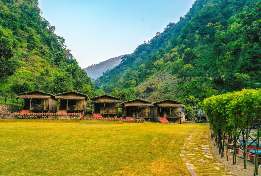
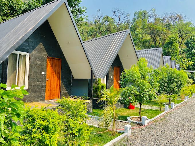
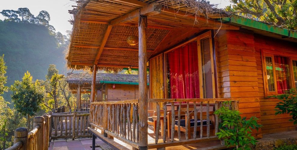
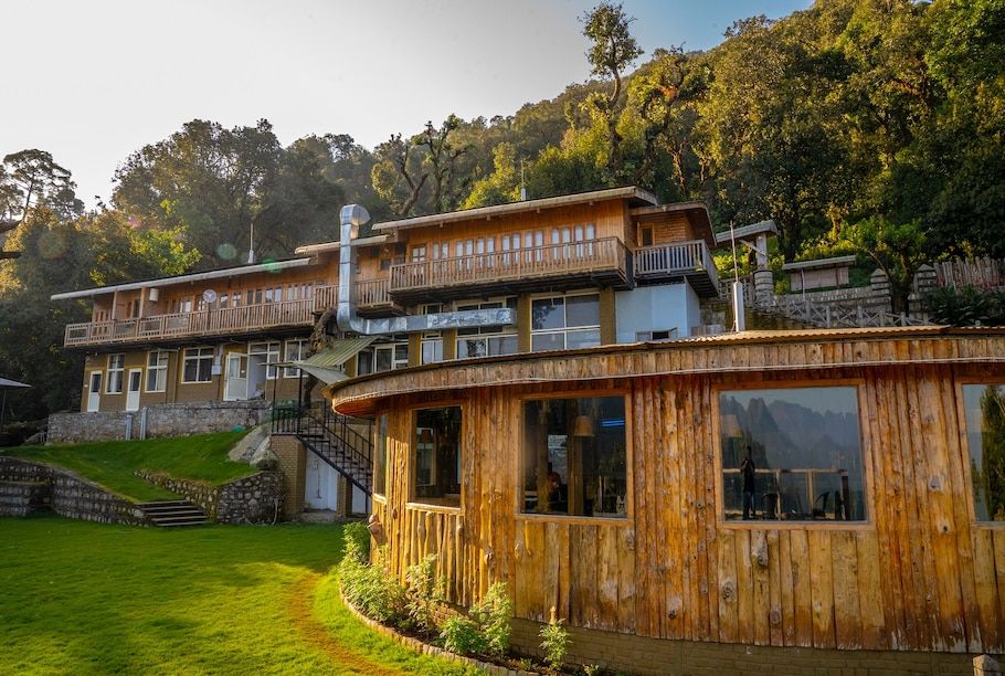
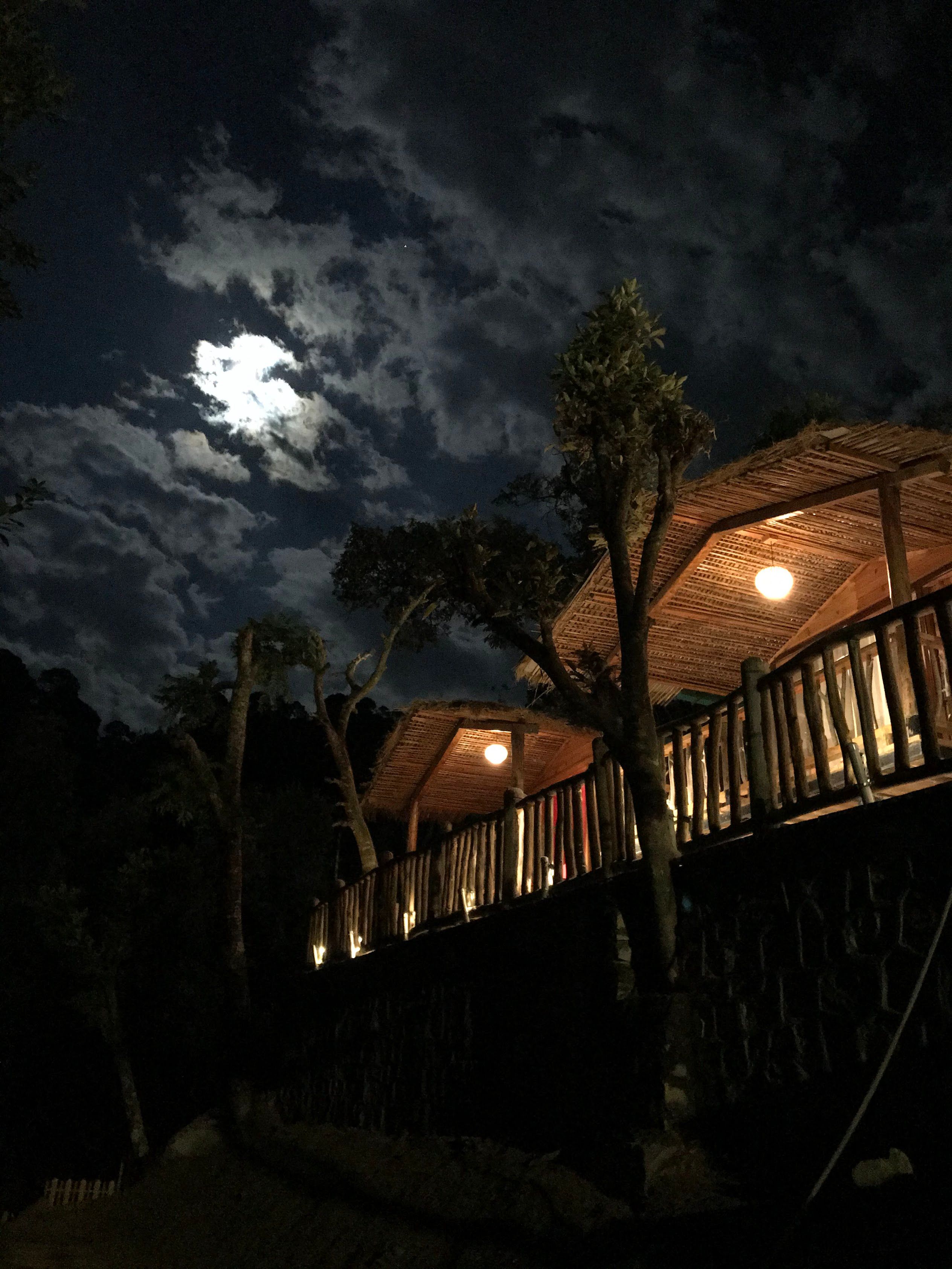
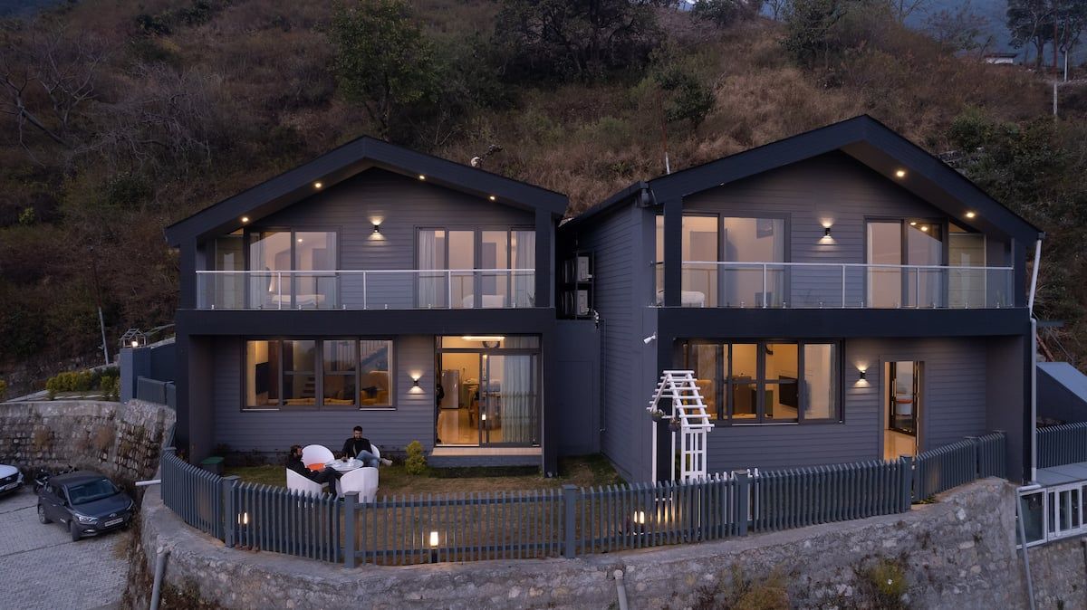
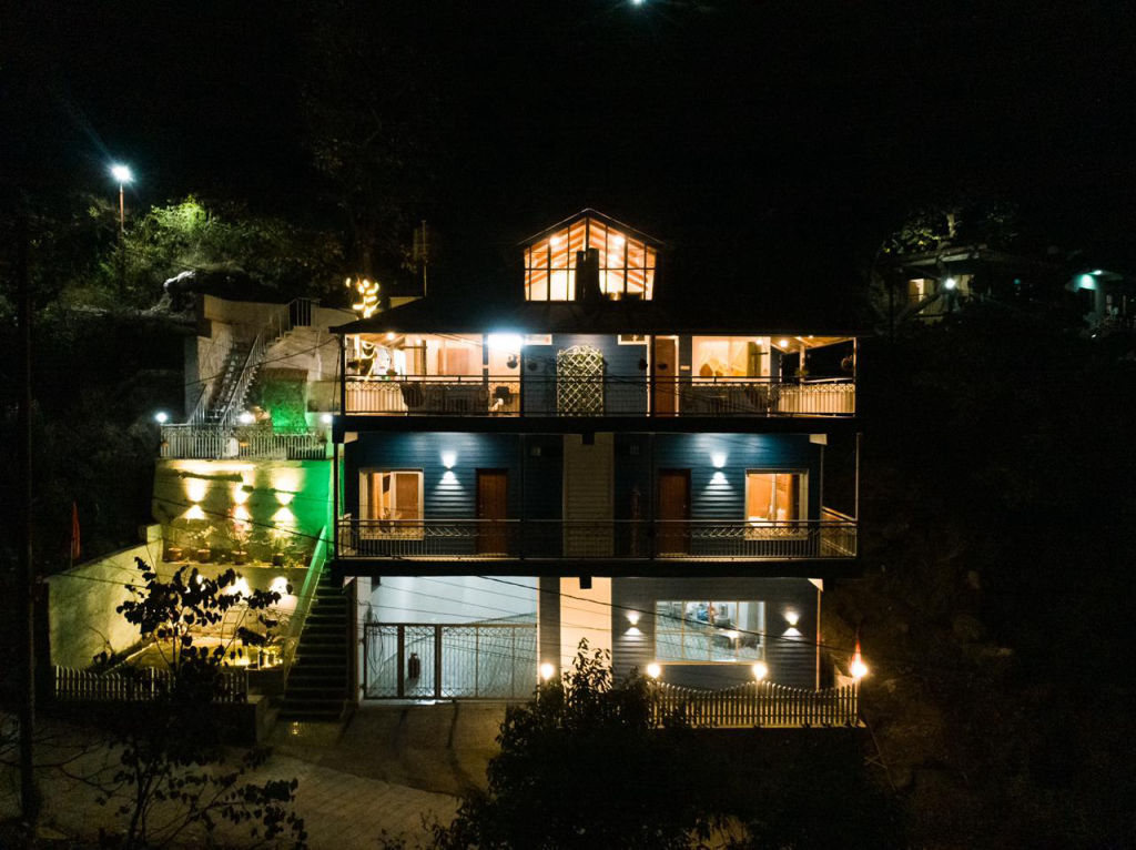
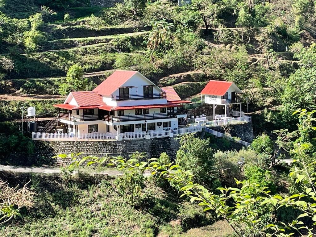
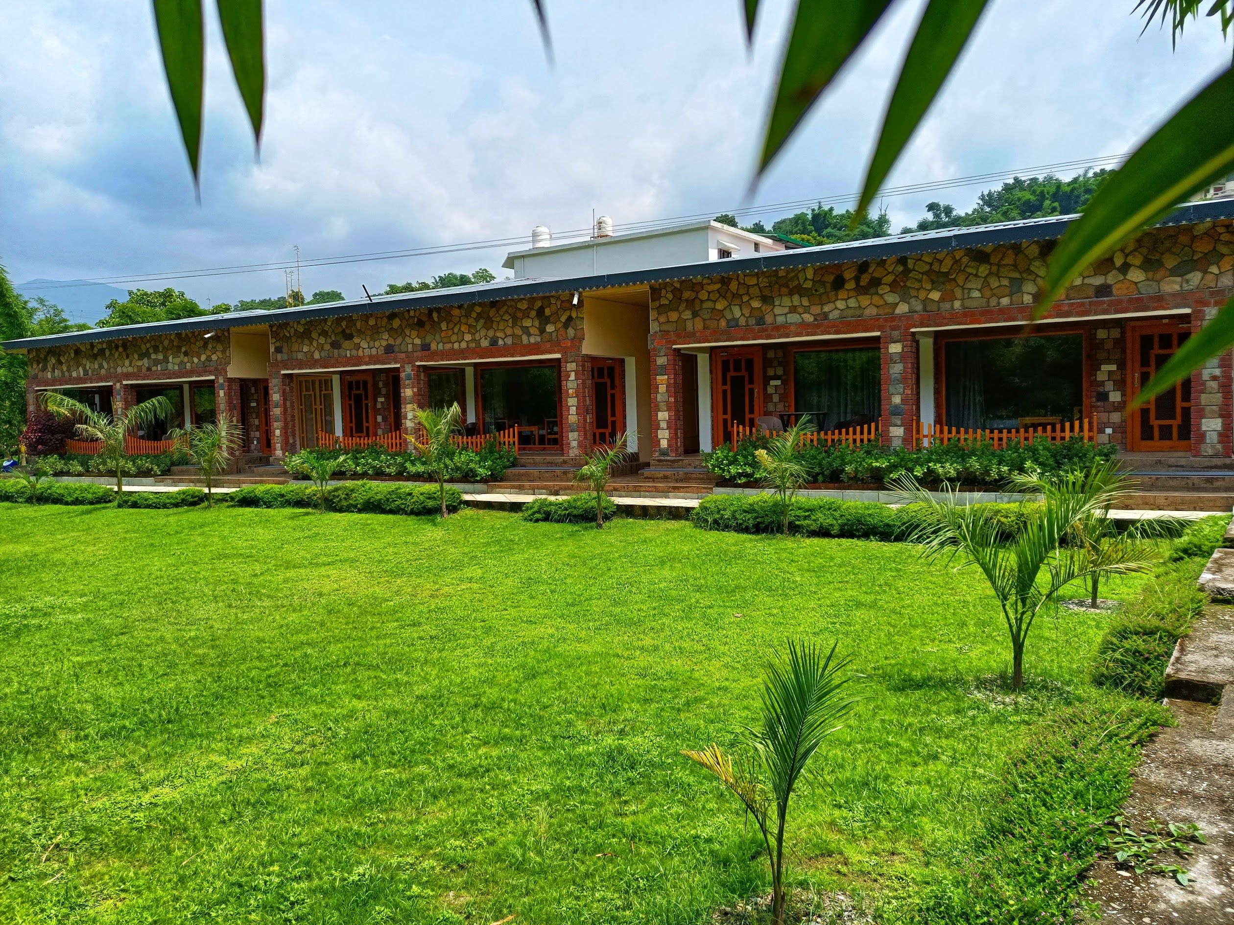
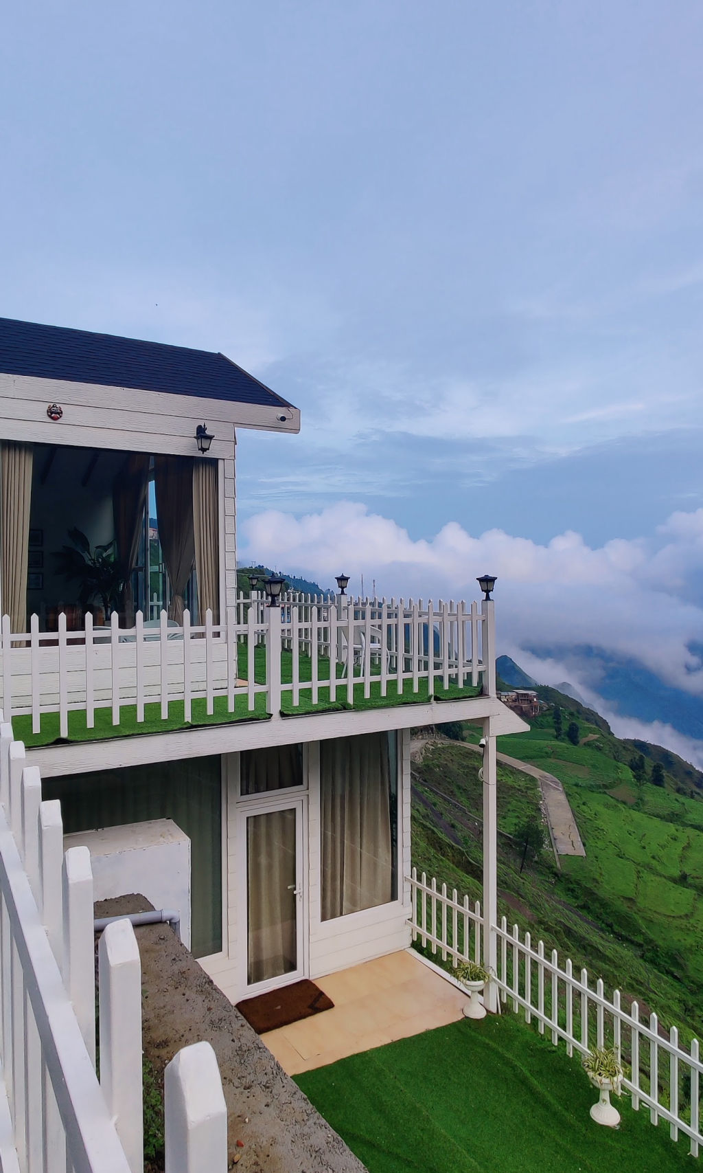
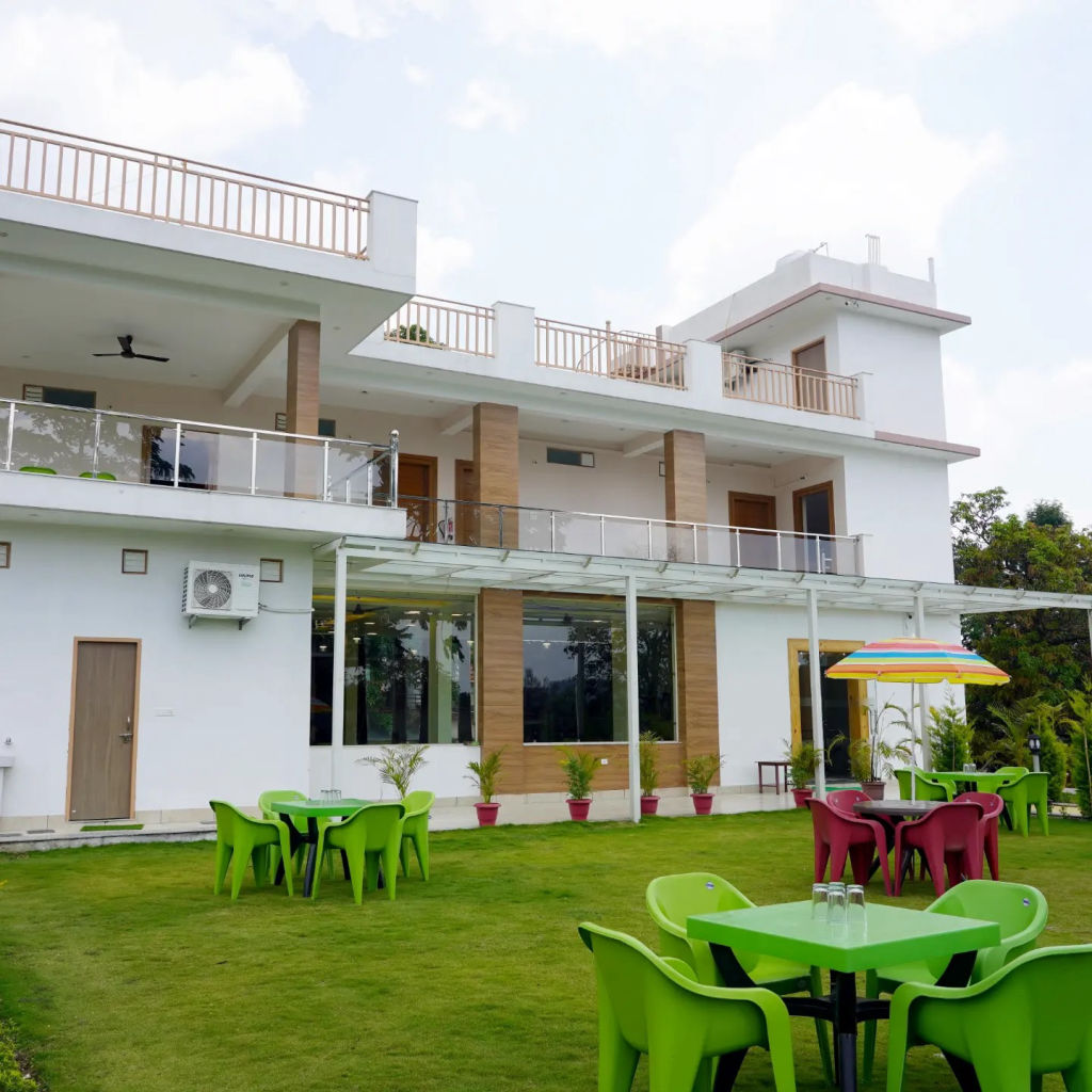
For accommodation, travellers will find a variety of comfortable stays scattered across the valley and surrounding hills. Camps, homestays, and other nature-focused lodgings can be booked through HireACamp, providing peaceful bases close to both the riverside pockets of Maldevta and the high viewpoints of Mussoorie.
Written with AI from creators' posts and map data. Check prices and timings locally before you go.
10 places · 28 creator recommendations · Updated today
Ranked by how many independent creators recommend each place, not by who paid. The list updates itself as new posts come in.


Frequently asked questions
When is the best time to experience the monsoon around Timilimansingh?
The monsoon season generally runs from July through September, bringing lush greenery, flowing rivers, and dramatic cloud formations across the hills. Early mornings often offer clearer conditions before afternoon rains set in.
How far is Mussoorie Road from Timilimansingh, and what are the driving conditions?
Mussoorie Road is approximately 12 kilometres away and typically takes about 32 minutes under traffic-free conditions. During the monsoon, road conditions can vary with rain and fog, so travellers should drive carefully and check local road updates.
Can you go camping near Timilimansingh during the rainy season?
Self-supported camping is popular along open riverside areas such as Maldevta Picnic Spot. However, campers should monitor water levels carefully during periods of continuous rainfall and seek local advice before pitching tents.
What should travellers wear when exploring viewpoints like Gun Hill and Landour in the rains?
Comfortable walking shoes with strong traction are recommended for wet trails and damp stone pathways. A dependable waterproof jacket or umbrella is also helpful, as mountain weather can shift quickly from sunshine to drizzle.
Where can I find places to stay near Timilimansingh?
A wide selection of homestays, campsites, and nature getaways in the area can be found on HireACamp. Booking in advance helps ensure you have a comfortable base for exploring the surrounding ridges and valleys.
Stays near Timilimansingh
Make a trip of it