Viewpoints near Chinyalisaur
This guide covers panoramic viewpoints, mountain ridges, and historic vantage points situated within 40 km of Chinyalisaur in Uttarakhand. It is well suited for road-trippers, casual day hikers, and photographers eager to view the expansive valleys and peaks of the Garhwal Himalayas. The featured spots offer a balance of quiet nature walks and wide scenic terraces across the hills.
Top picks among viewpoints near Chinyalisaur
The high ridgelines surrounding this part of Uttarakhand feature some of the region's most scenic vantage points. Dalai Hills, located about 28 km from Chinyalisaur in the Charleville area near Mussoorie, is a favourite among independent creators. Marked by colourful prayer flags fluttering along the crest, the hill offers sweeping outlooks over the Doon Valley and northern Himalayan ranges, making it a peaceful spot for evening walks.
Lal Tibba Scenic Cafe, positioned along the high crest of Landour roughly 25 km from Chinyalisaur, is another popular stop. Visitors ascend through quiet forest lanes to its viewing deck to observe distant snow-clad peaks and forested valleys through binoculars. Further west, George Everest House rests on an exposed ridge approximately 31 km from town in Khanij Nagar. This historic estate of Sir George Everest combines colonial surveying heritage with open trail walking up to George Everest Peak, providing unobstructed views of the surrounding mountains.
Gun Hill, Mussoorie, located about 27 km from Chinyalisaur, offers another distinct vantage point. As the second-highest peak in the town, it looks out across both the mountain skyline and the southern valleys. Travellers reach the top via a short uphill walking route or a scenic ropeway ride from the town centre.
Forest walks and ridgelines
For travellers seeking quieter surroundings, the western slopes and alpine ridges provide natural retreats. Cloud end sits at the western edge of the Mussoorie ridge, about 28 km from Chinyalisaur, where dense canopies of oak and deodar meet wide cliff edges. It is particularly noted for panoramic evening vistas across mist-laden valleys.
Nearby lies Hathipaon, roughly 31 km from Chinyalisaur, situated on gentle, wooded slopes shaped like an elephant's foot. This area is favored by birdwatchers and quiet walkers looking to experience serene forest trails away from crowded thoroughfares. Along the travel route from the plains, Mussoorie Road sits approximately 32 km from Chinyalisaur, serving as a scenic mountain corridor where road-trippers pull over to take in the climbing hills and valleys below.
For more adventurous hikers, Phulara ridge offers a unique trekking route about 40 km from Chinyalisaur near Barkot. Unlike standard valley hikes, the trail traverses a high-altitude ridgeline that delivers continuous, wraparound views of alpine meadows and snow-capped summits.
Best time to visit
The viewpoints around Chinyalisaur are at their clearest from late September through November, when post-monsoon winds leave the atmosphere crisp and clear. During these autumn months, the distant snow peaks of the Garhwal range stand out sharply against blue skies.
Spring and early summer, from March through June, bring mild daytime temperatures and blooming mountain slopes, making conditions comfortable for outdoor trails like George Everest Peak and Dalai Hills. Winter months offer snowy vistas along higher peaks, though temperatures drop sharply after sunset. During the monsoon months of July and August, heavy mist and rainfall frequently obscure the vistas, so checking weather forecasts before heading out is always recommended.
Tips for your trip
Because these viewpoints are spread across mountain ridges, driving routes involve winding hill roads. Travellers should check local road and traffic conditions before departing Chinyalisaur, particularly during weekends and holiday seasons when approaches to Landour and Mussoorie can become congested.
Starting early in the morning helps avoid midday haze and heavy traffic, providing the clearest visibility for distant peaks. Wear comfortable, grippy walking shoes if you plan to explore ridgelines like Phulara ridge, George Everest House, or Dalai Hills, as paths can be rocky and uneven. Carry sufficient drinking water and light layers, as ridge temperatures can change rapidly with the breeze.
Where to stay
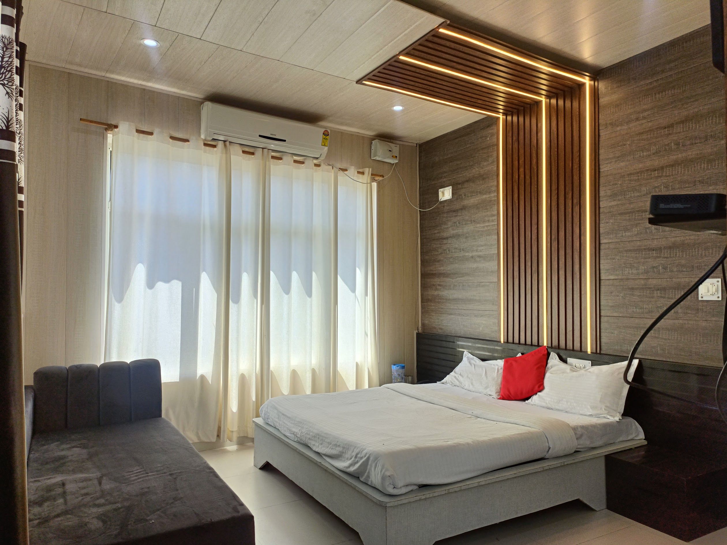
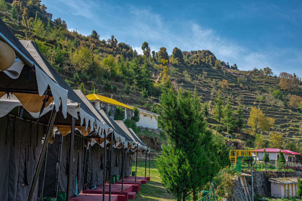
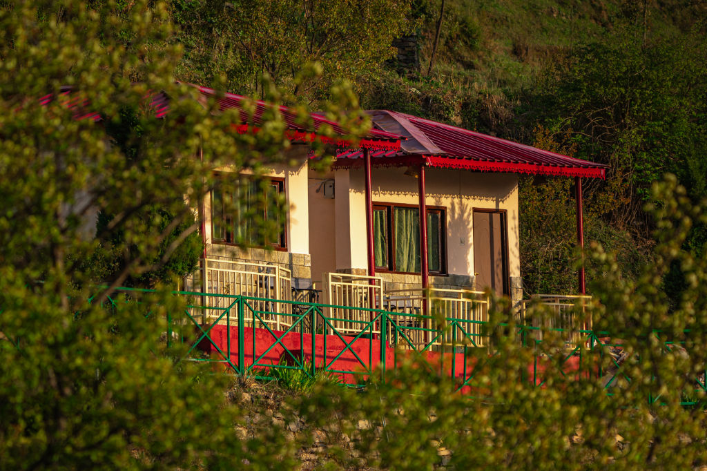
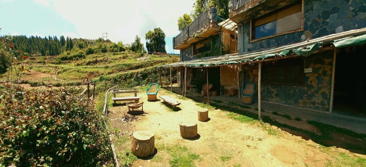
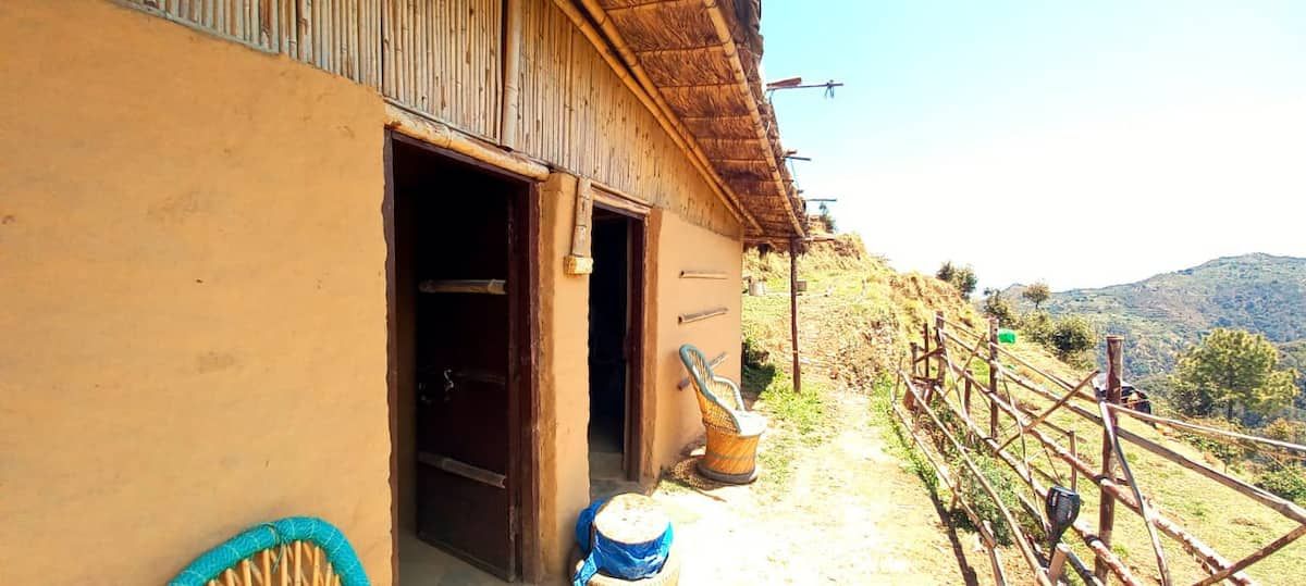
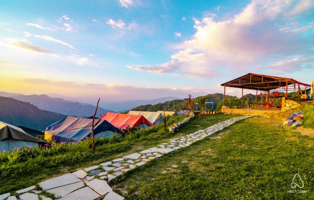
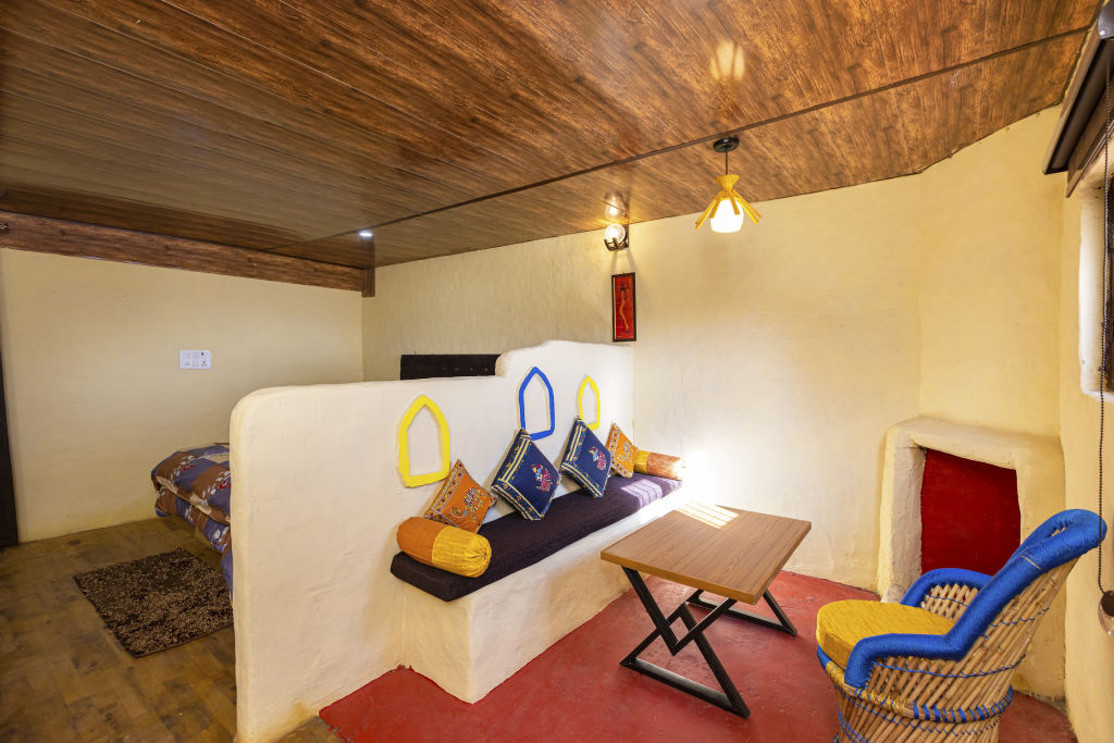
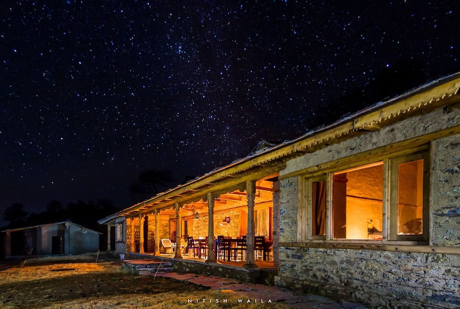
To make the most of exploring these viewpoints, consider booking a base in the nearby valleys or surrounding hills. A wide selection of rustic outdoor stays, riverside camps, and local homestays in the area can be found on HireACamp.
Written with AI from creators' posts and map data. Check prices and timings locally before you go.
8 places · 13 creator recommendations · Updated today
Ranked by how many independent creators recommend each place, not by who paid. The list updates itself as new posts come in.


Frequently asked questions
Which viewpoints near Chinyalisaur are most recommended by travellers?
Dalai Hills, Lal Tibba Scenic Cafe, and George Everest House are among the most frequently recommended viewpoints near Chinyalisaur, each offering expansive vistas of the Garhwal Himalayas and open valley ridges.
When can I expect the clearest mountain views near Chinyalisaur?
The clearest visibility generally occurs from October to November and during crisp winter mornings, when dry air and clear skies provide sharp panoramas of snow-covered peaks.
Are there good walking trails at these viewpoints?
Yes, locations such as Dalai Hills, George Everest House, Hathipaon, and Phulara ridge feature scenic ridgeline walks and nature paths suitable for outdoor walking.
How do I reach viewpoints like Gun Hill and Lal Tibba from Chinyalisaur?
These viewpoints are accessible via regional mountain roads heading into the Mussoorie and Landour area. Travellers can reach them by car or local taxi, though walking or local ropeways are used for the final approach to peaks like Gun Hill.
Stays near Chinyalisaur
Make a trip of it