Viewpoints near Happy Valley
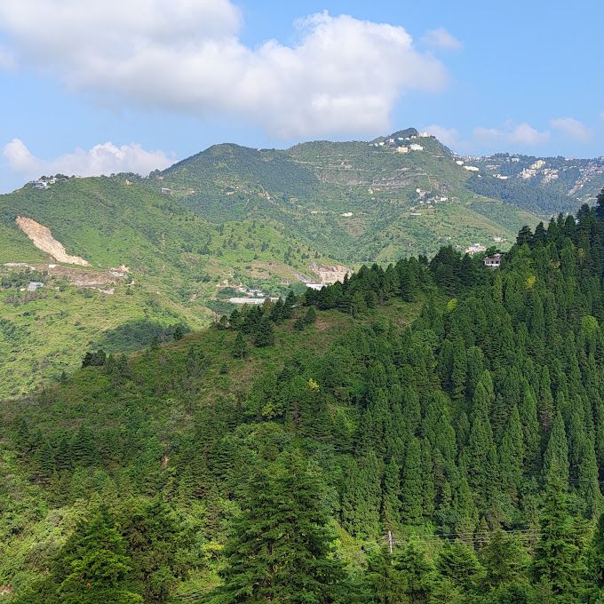
Happy Valley and the surrounding ridges in Uttarakhand offer some of the most scenic vantage points across the Garhwal Himalayas. This list brings together top viewpoints within forty kilometres of Happy Valley, spanning peaceful hillocks, colonial-era ridges, and high-altitude alpine passes. It is an ideal guide for day hikers, landscape photographers, and weekend travellers looking for fresh mountain air and sweeping valley vistas.
Top viewpoints around Happy Valley
Happy Valley sits on the western flank of Mussoorie, making it a natural starting point for reaching several well-known viewpoints. Just about a kilometre from Happy Valley lies Dalai Hills in the Charleville area. Adorned with fluttering Tibetan prayer flags, this open ridge is widely enjoyed for quiet nature walks, a relaxed setting above the town, and sweeping views of both the Doon Valley and the Garhwal Himalayas.
A short journey of approximately four kilometres takes you up to Lal Tibba Scenic Cafe, located along the highest ridgeline of Landour. Visitors head to its viewing deck for panoramic sights of distant snow-capped peaks and the lush slopes below, away from the busier roads. Closer still, around three kilometres away, George Everest House sits on an exposed ridge in Khanij Nagar. Travellers visit the historic estate to see Sir George Everest's restored laboratory and to walk the scenic trail up to George Everest Peak, which looks out across vast mountain horizons.
Wooded walks and sunset ridges
Travellers seeking forested trails and sunset viewpoints have several rewarding choices close by. Gun Hill, about two kilometres from Happy Valley, is the second-highest point in Mussoorie. It can be reached via an uphill walking trail or a scenic ropeway, presenting broad views over the Doon Valley and changing colours at dusk.
Further west along the ridge, Cloud end sits roughly two kilometres away, marking where thick stands of oak and deodar meet open mountain vistas. It is popular for evening walks and sunset views over mist-laden valleys. Nearby, Hathipaon rests on the forested western slopes around three kilometres away. Named after the elephant-foot shape of the hill, it provides peaceful forest trails, rich birdlife, and quiet outlooks across the northern Himalayan ranges.
Views from the road and higher elevations
The drive up into the hills offers panoramic stops before you even settle in. Mussoorie Road, winding roughly nine kilometres down from Happy Valley toward Dehradun, features open viewpoints where travellers pause to take in the sprawling Doon Valley below and forested ridges above.
Those willing to venture deeper into the hills can explore higher elevations toward Chakrata. Around twenty-seven kilometres away, Chilmiri Top near Thana stands as one of the highest elevations in its area, known for expansive alpine meadows and views of snow-crowned peaks. Farther out, at about forty kilometres, Lokhandi Tibba rises through dense deodar and oak woods near Chakrata. It delivers crisp alpine air, vast Himalayan panoramas, and occasional snow cover during the colder winter months.
Best seasons for clear mountain vistas
Visibility around Happy Valley depends heavily on the time of year and daily weather conditions. The autumn months from October to November generally offer crisp, post-monsoon skies and clear views of the distant Himalayan peaks. Winter brings colder temperatures and occasional snowfall to higher points like Lokhandi Tibba, creating dramatic, frost-dusted scenery across the ridges.
Springtime from March to May brings pleasant walking weather and vibrant forest blooms, though light haze can develop as afternoon temperatures climb. During the monsoon months from July to September, the ridges fill with heavy mist, passing clouds, and vivid greenery, though cloud cover often obscures long-distance horizons. Visiting viewpoints in the early morning or around sunset typically provides the most stable light and clearer skies.
Tips for getting around and where to stay
Many viewpoints close to Happy Valley, such as Dalai Hills and Hathipaon, can be reached on foot or via short taxi rides. Because mountain lanes around Mussoorie and Landour can be narrow and winding, walking often provides a calmer experience than driving during peak hours. If you plan to travel further toward Chakrata, hiring a local vehicle is advisable, and it is wise to check road and weather conditions locally before setting out.
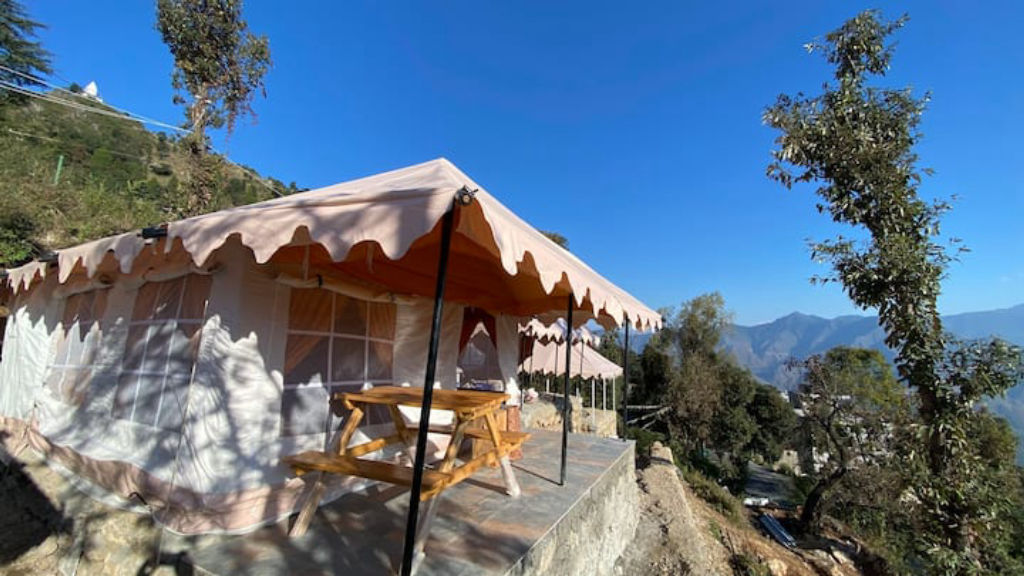
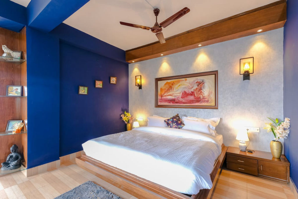
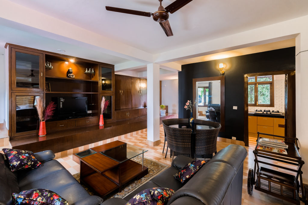
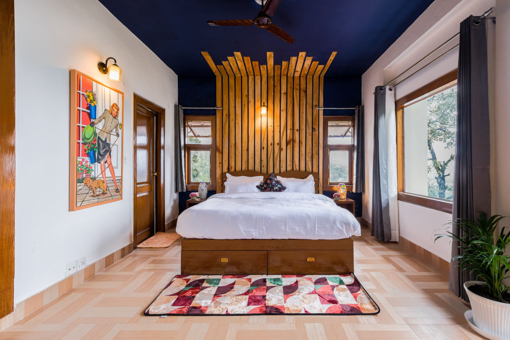
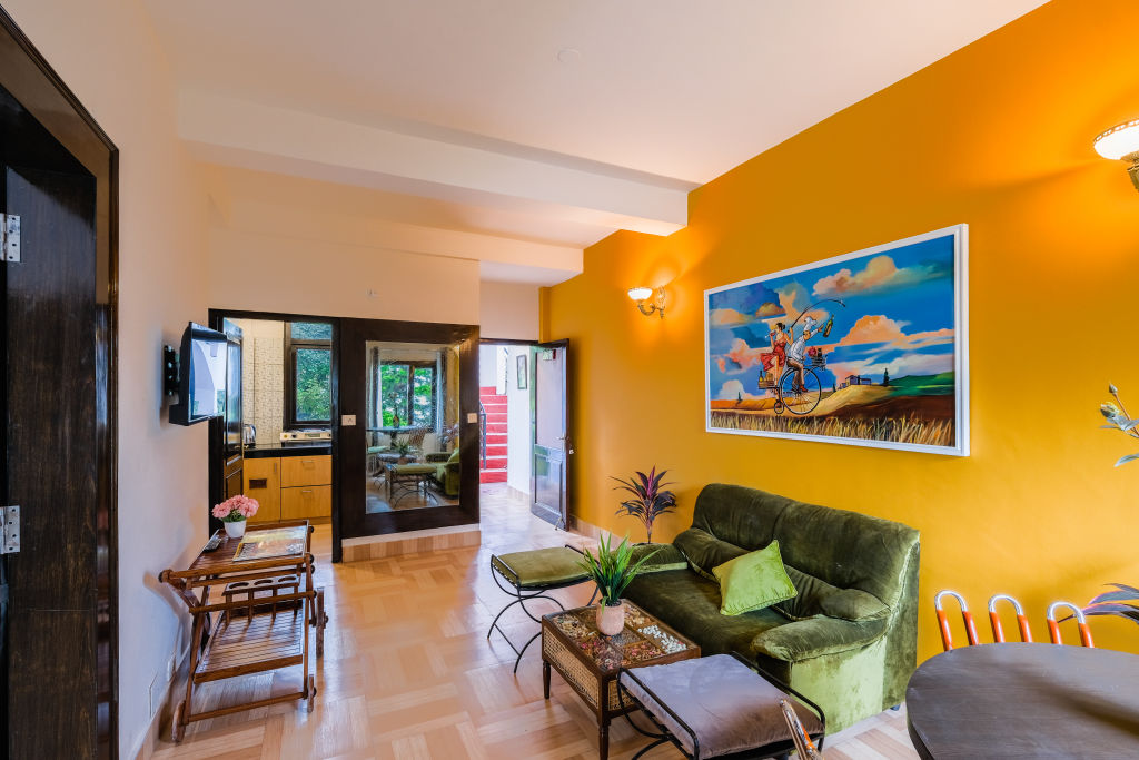
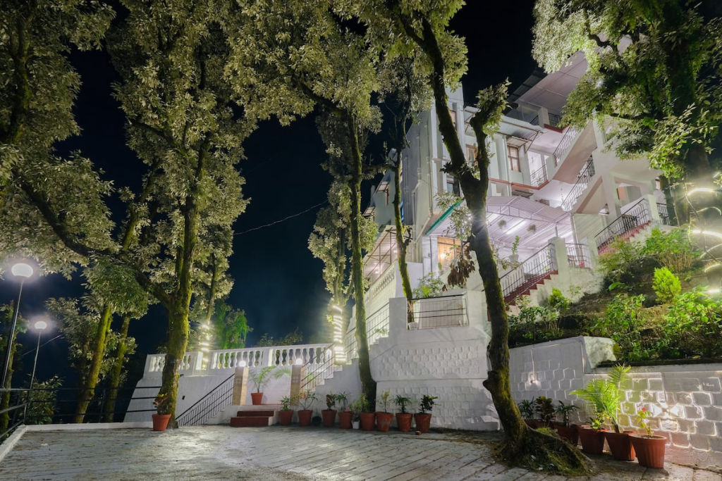
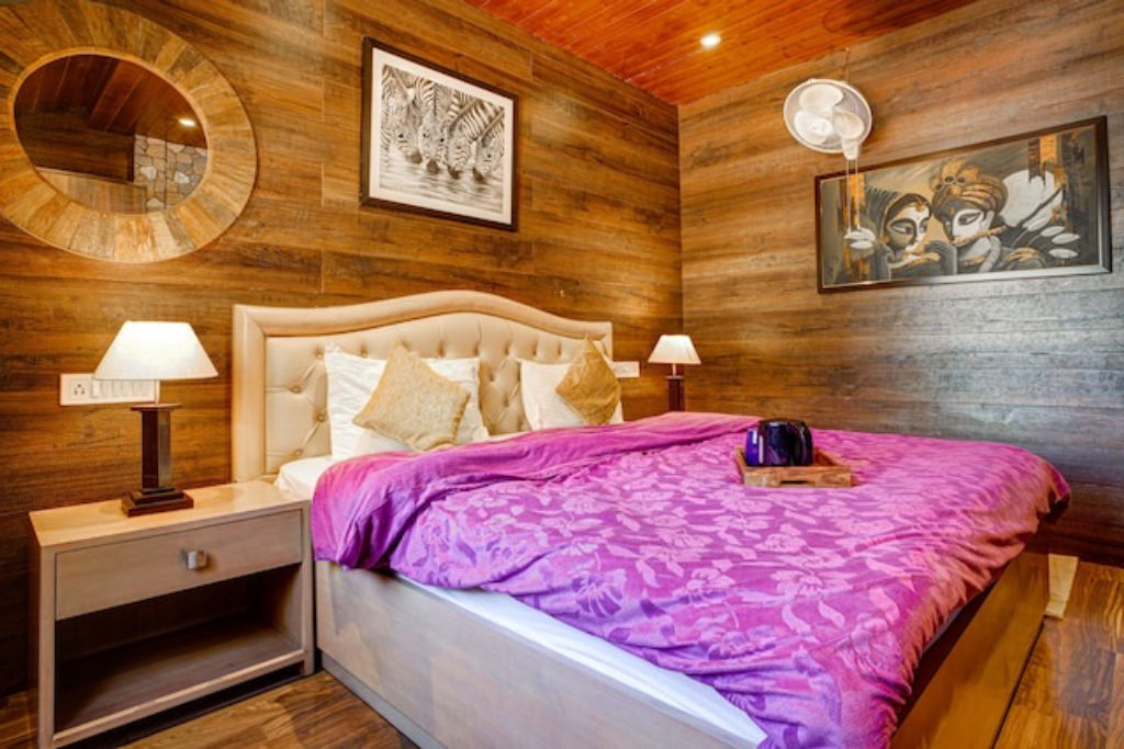
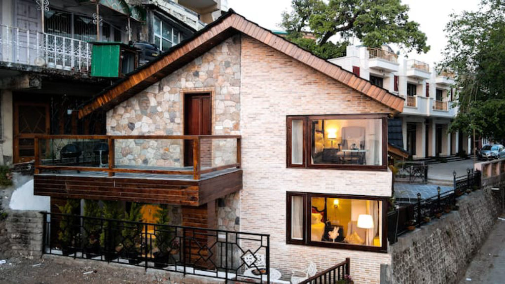
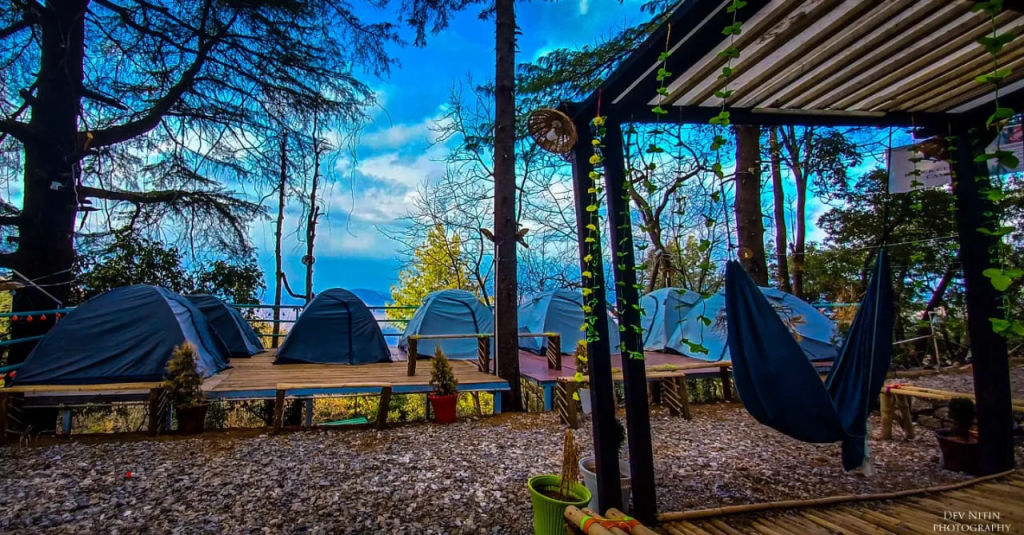
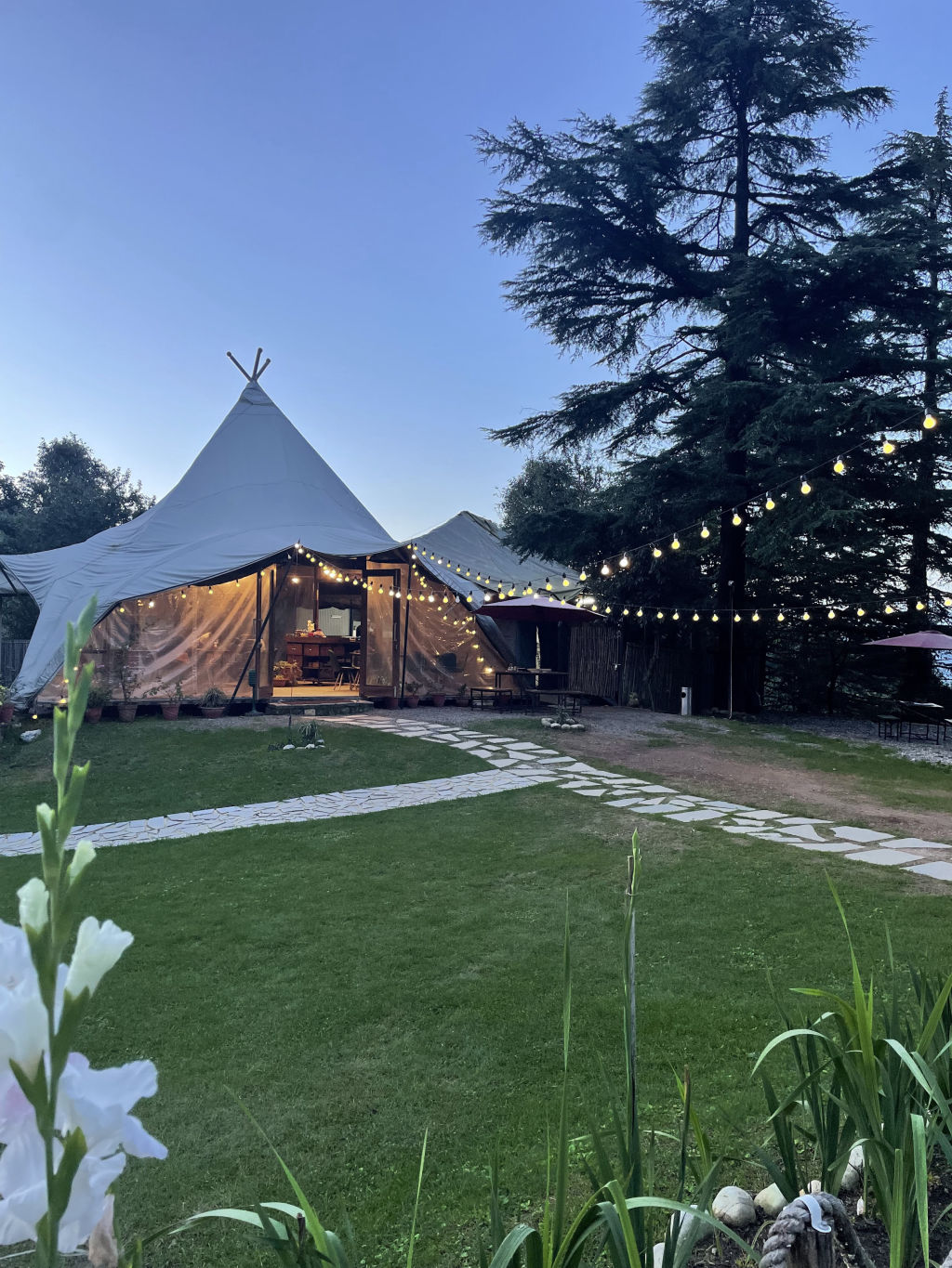
Stout walking shoes and warm layers are essential throughout the year, as ridge winds can cause sudden drops in temperature. When deciding where to base yourself for your mountain excursions, you can browse a range of camps, homestays, and quiet nature stays in the surrounding hills on HireACamp.
Written with AI from creators' posts and map data. Check prices and timings locally before you go.
9 places · 14 creator recommendations · Updated today
Ranked by how many independent creators recommend each place, not by who paid. The list updates itself as new posts come in.


Frequently asked questions
Which viewpoints are within walking distance of Happy Valley?
Dalai Hills is located about one kilometre from Happy Valley and can easily be visited on foot. Gun Hill, Cloud end, and George Everest House are also situated within two to three kilometres along scenic ridge paths.
What can you see from Lal Tibba Scenic Cafe?
Perched on the highest ridge of Landour, Lal Tibba Scenic Cafe features a viewing deck that looks out across the Garhwal Himalayan range and deep forested valleys below.
Are the viewpoints near Chakrata accessible as day trips from Happy Valley?
Vantage points like Chilmiri Top and Lokhandi Tibba sit between twenty-seven and forty kilometres from Happy Valley and can be explored on an extended day excursion by road.
What is the best time of day to visit Dalai Hills?
Early mornings provide calm surroundings and clear mountain horizons, while late afternoons are favoured for watching sunsets from the open ridge beneath the Tibetan prayer flags.
Stays near Happy Valley
Make a trip of it