Viewpoints near Koti
This guide highlights panoramic viewpoints near Koti, stretching across the scenic ridges of Mussoorie, Landour, and the surrounding Garhwal hills. It suits day hikers, road trippers, and nature lovers looking for mountain vistas and quiet woodland outlooks. Whether you prefer historic ridgeline walks or open viewpoints overlooking the Doon Valley, these vantage points offer memorable perspectives of the Himalayan foothills.
Top viewpoint picks near Koti
The ridges surrounding Koti feature several prominent vantage points that independent creators recommend most often. Dalai Hills, located about 10 km from Koti in the Charleville area of Mussoorie, is well known for its countless fluttering Tibetan prayer flags, quiet nature trails, and wide views of the Garhwal Himalayas and Doon valley. Nearby in Khanij Nagar, about 7 km from Koti, George Everest House sits on an exposed ridge that once served as the home and laboratory of Sir George Everest. Travellers head here to explore the restored colonial-era surveying estate and hike along the open ridgeline toward the crest of George Everest Peak. Rising above Landour about 14 km from Koti, Lal Tibba Scenic Cafe provides a viewing deck on the highest ridge of the settlement, offering sweeping panoramas of snow-crested peaks through peaceful deodar-lined surroundings.
Exploring scenic ridges around Mussoorie
Beyond the top picks, several other vantage points provide sweeping outlooks over the foothills of Uttarakhand. Gun Hill, Mussoorie stands as the second-highest peak in town, situated about 12 km from Koti above Mall Road and reached by a short ropeway or an uphill walking trail for sunset views over the Doon Valley. Toward the western edge of the Mussoorie ridge, about 11 km from Koti, Cloud end presents a quieter natural retreat where oak and deodar forests yield to open Himalayan horizons. Just about 8 km from Koti lies Hathipaon, a tranquil wooded crossing on the western slopes named after its curved contour, where visitors walk under pine and oak while watching for forest birds. Lower along the foothills, Mussoorie Road sits about 14 km from Koti, giving motorists a scenic corridor overlooking the Doon Valley and Dehradun.
High vantage points toward Chakrata
Travellers willing to venture farther along the high ridges beyond Koti can explore broader outlooks heading into the Chakrata belt. Chirmiri/Chilmiri Top/Peak Way Point, situated about 24 km from Koti near Thana, ranks among the highest elevations in the area and reveals rolling alpine meadows framed by snow-crowned Himalayan peaks. Further out, about 36 km from Koti, Lokhandi Tibba rises amidst dense pine, oak, and deodar woodlands near Chakrata. This high-altitude vantage point offers crisp mountain air, expansive panoramas of the Greater Himalayas, and consistent winter snowfall during the coldest months of the year. Both destinations provide quiet walking routes and broad vistas across open terrain that contrast nicely with the busier ridgelines closer to town.
Weather and best times to visit
The viewpoints near Koti present different appeals across the changing seasons in Uttarakhand. Autumn from October through November and spring from March to April generally bring the clearest mountain visibility, making them popular times for gazing at distant Himalayan summits. The summer months offer cool breezes that provide a welcome escape from the heat of the northern plains, though afternoons can become hazy. During the monsoon from July to September, heavy rains drape the forests and valleys in lush green mist, though clouds may intermittently obscure long-distance vistas. Winter introduces crisp mountain air and sharp horizons, with high ridges like Lokhandi Tibba often receiving snowfall, while lower points such as Dalai Hills and George Everest House offer dramatic winter sunsets over the Doon Valley.
Planning your route and where to stay
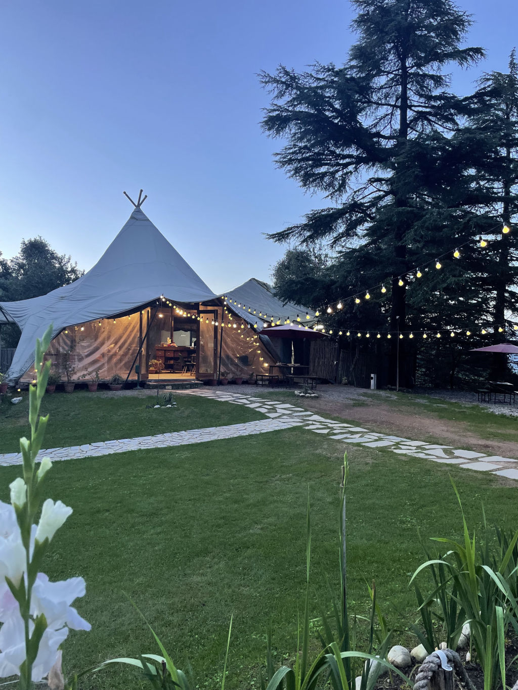
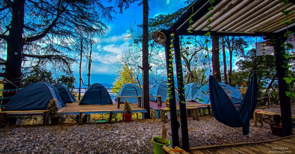
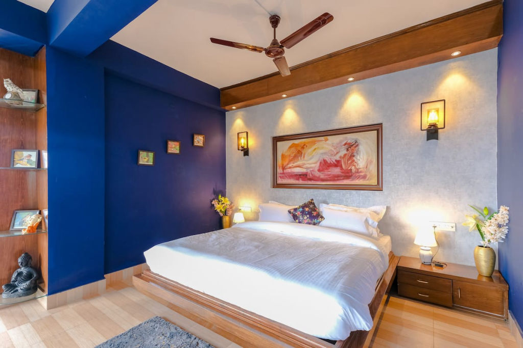
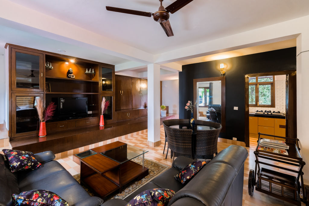
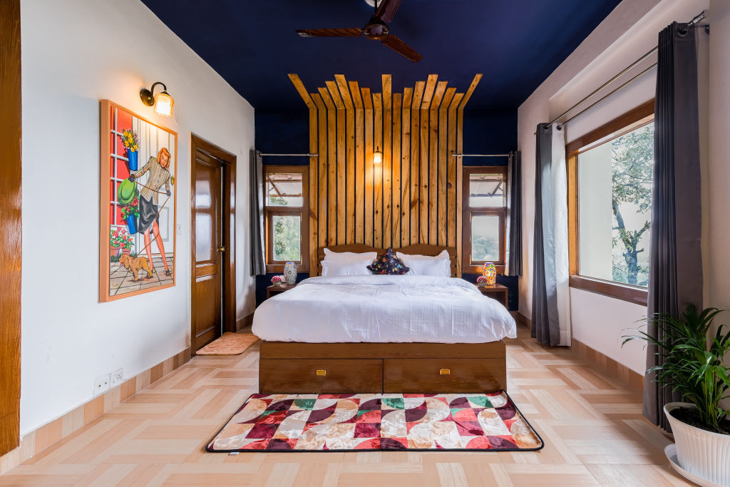
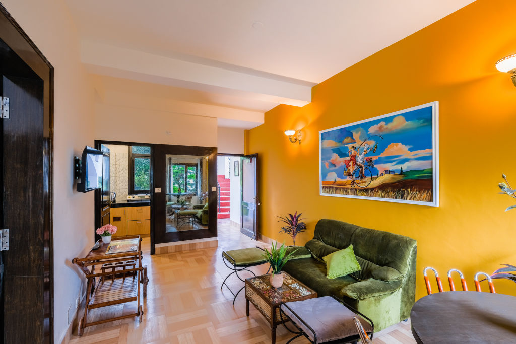
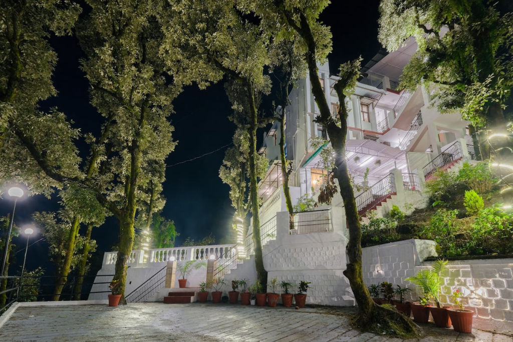
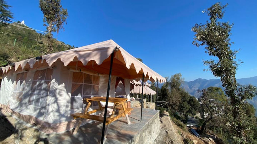
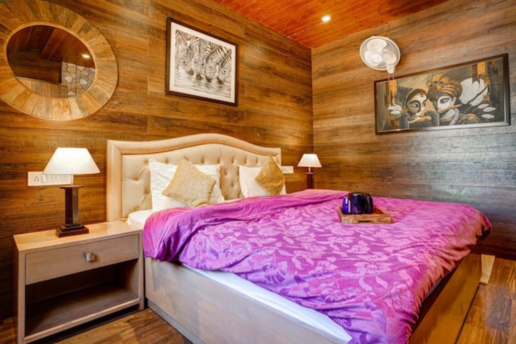
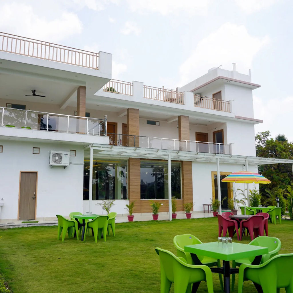
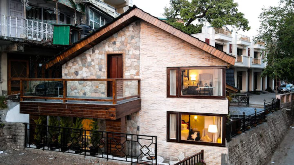
Navigating between viewpoints near Koti requires travelling along winding mountain routes that vary from paved town roads to exposed ridge paths. Because George Everest House is about 7 km away and Dalai Hills is about 10 km away, several western viewpoints can be visited in a single outing, though you should verify local access conditions and trail rules in advance. When planning an overnight trip, you can find camps, homestays, and outdoor getaways in the area on HireACamp. Staying close to these ridges makes it easy to set out early for quiet morning walks, catch clear sunrise views across the Garhwal range, and avoid the busier midday traffic along popular sightseeing corridors.
Written with AI from creators' posts and map data. Check prices and timings locally before you go.
9 places · 14 creator recommendations · Updated today
Ranked by how many independent creators recommend each place, not by who paid. The list updates itself as new posts come in.


Frequently asked questions
Which viewpoints near Koti offer the best sunset views?
Dalai Hills, Cloud end, and Gun Hill, Mussoorie are well regarded for their sunset outlooks, offering open westward vistas over the Doon Valley and layered mountain ridges.
Can you visit George Everest House and Dalai Hills on the same trip from Koti?
Yes, both viewpoints are located within roughly 7 to 10 km of Koti on the western side of Mussoorie, making it easy to combine them during a single morning or afternoon outing.
Which viewpoint near Koti receives winter snowfall?
Lokhandi Tibba, situated about 36 km from Koti near Chakrata at higher elevation, regularly receives snowfall during the colder winter months.
How do you reach Gun Hill, Mussoorie from the town below?
Gun Hill sits just above Mall Road and can be reached either by taking the scenic ropeway or by walking up a winding uphill trail.
Are there permits or entry fees required for viewpoints near Koti?
Entry conditions, camera permissions, and parking arrangements can change across different viewpoints, so travellers should check locally upon arrival.
Stays near Koti
Make a trip of it