
Banasura Hill
Peak near Padinjarathara, Kerala
7.3 km from Padinjarathara
The nearest town, for stays, food and fuel.
Banasura Hill is one of the highest peaks in the Western Ghats of Wayanad, Kerala, standing as a towering natural landmark over the surrounding plateau. Named after the mythological king Banasura, the mountain attracts avid trekkers and nature lovers drawn to its rolling shola grasslands, rugged rocky faces, and sweeping views of the mist-laden valley below.
Getting there
By road
- From PadinjaratharaNearest town36 min · 11 km
- From Mysuru3 hr 50 min · 163 km
- From Coimbatore5 hr 50 min · 242 km
- From Bengaluru6 hr 5 min · 308 km
Typical drive times without traffic. Stations and airports from OLA Maps; distances and typical drive times from OpenStreetMap (© OpenStreetMap contributors); notes from creators' Reels.
About Banasura Hill
Written with AI from map data and general knowledge. Check prices and timings locally before you go.
About Banasura Hill and Its Landscape
Rising prominently over the northern reaches of the Wayanad district in Kerala, Banasura Hill is a striking geological feature of the Western Ghats. Towering at over two thousand metres above sea level, it is among the highest summits in the region, second only to Chembra Peak. The hill forms a natural backdrop to the sprawling Banasura Sagar Dam reservoir, casting its deep green silhouette across the water and surrounding estates.
The mountain derives its name from Banasura, a legendary mythological king and the son of Mahabali, who according to regional folklore performed intense penance in these isolated heights. The terrain is marked by steep slopes, narrow rocky ridges, and expansive patches of montane shola forests interspersed with undulating grasslands. Walking up its slopes takes you through multiple ecological zones, from dense moist deciduous woodlands at the base to open, wind-buffeted ridges near the top.
The Trekking Experience on Banasura Hill
Trekking Banasura Hill is widely regarded as one of the more demanding hiking experiences in northern Kerala. Unlike gentler trails in the region, the path here climbs steeply through rocky corridors, tangled root systems, and exposed hillside paths that require good physical stamina and careful footing.
The route typically begins at the base near small tribal settlements and coffee plantations before ascending sharply into the forested belt. As you gain elevation, the tree cover gradually thins out, giving way to sweeping shola grasslands that ripple in the mountain breeze. The final push to the summit involves negotiating slippery scree and narrow grassy saddles where clouds often roll across the trail, drastically reducing visibility within minutes. Reaching the peak rewards hikers with a panoramic, bird's-eye vantage over the vast reservoir, neighboring peaks, and the mosaic of spice groves and dense canopy across Wayanad.
Read more
Flora, Fauna, and the Shola Ecosystem
The slopes of Banasura Hill are an integral part of the sensitive Nilgiri Biosphere Reserve corridor, sustaining rich endemic biodiversity. The valleys and gullies shelter classic shola forest patches—unique, stunted tropical montane forests that act as natural water reservoirs for the streams draining down into the Kabini basin.
Travellers with a keen eye can spot a diverse range of plant species, including wild orchids, mosses, and endemic ferns carpeting the forest floor. The area is also home to various wildlife species, including the Malabar giant squirrel, bonnet macaques, barking deer, and occasional sightings of wild elephants roaming the lower valleys. Birdwatchers frequently record high-altitude species such as the Nilgiri pipit, Wayanad laughingthrush, and various birds of prey that ride the thermal winds lifting off the cliff faces.
Best Time to Visit Banasura Hill
The ideal period to hike Banasura Hill is during the post-monsoon and winter months, spanning from October to February. During this window, the surrounding hills are lush green after the heavy southwest monsoon, the water bodies are brimming, and daytime temperatures remain comfortable for outdoor activity. Early mornings during winter are often crisp with valley fog, which generally burns off by mid-morning to reveal clear horizons.
The monsoon months from June to September bring torrential rain, making the steep earthen trails exceptionally slick and dangerous due to heavy water run-off and thick populations of leeches. Summer, running from March through May, is noticeably warmer and the grasslands dry to a golden hue; while trekking is possible, the midday heat and intense sun on the exposed ridges can be draining, making very early starts essential.
How to Reach Banasura Hill
Banasura Hill is situated in the Wayanad district of Kerala, accessible by road from major regional towns such as Kalpetta, Mananthavady, and Sulthan Bathery. The nearest major railhead is Kozhikode Railway Station, approximately ninety kilometres away, which connects well with major Indian cities. Kozhikode is also home to the nearest airport, Calicut International Airport, situated around one hundred kilometres from the base.
From Kozhikode, travellers can take state transport buses or private taxis through the scenic Thamarassery Churam mountain pass to reach Wayanad. Once in the district, public buses and hired jeeps run towards the base villages around Padinjarathara and Vellamunda. Because the road leading right to the trailhead narrows and can be uneven, local jeep transport or sturdy private vehicles are recommended for the final leg.
Tips for Your Visit to Banasura Hill
Due to the demanding nature of the climb, proper preparation is necessary before setting out on Banasura Hill. Sturdy trekking shoes with dependable grip are essential, as the trail alternates between slippery soil, exposed rock faces, and loose gravel. During and immediately following the rainy season, leeches are common in the wooded zones, so carrying leech gaiters or salt and applying protective repellent is advisable.
Carry adequate drinking water and light, energy-dense snacks, as there are no stalls or facilities once you leave the base. It is strongly advised to check with local forest department offices regarding current trekking permissions and trail access before planning your trek. Engaging an experienced local guide is also helpful, as mountain weather changes swiftly and the high-altitude trails can become disorienting when dense cloud banks move in.
Places to Explore Nearby
The landscape surrounding Banasura Hill offers a mix of outdoor trails, historic landmarks, and cultural spots that complement a trekking itinerary. Just a short drive away lies the Periya Reserve Forest, an extensive patch of dense woodland that marks the borderlands of Wayanad and Kannur, ideal for quiet nature walks and wildlife observation.
Cultural and heritage travellers can explore historical points of interest in the vicinity, including the Pazhassi Raja Tomb and nearby memorial park, commemorating the legendary warrior king who fought colonial forces in these very hills. The region also hosts ancient architecture, such as the historic ruined Jain temples at Panamaram and Sultan Bathery, along with the revered Valliyoorkavu Temple near Mananthavady and the heritage Pallikkunnu Church, each showcasing the diverse traditions of the northern Kerala highlands.
Where to Stay near Banasura Hill
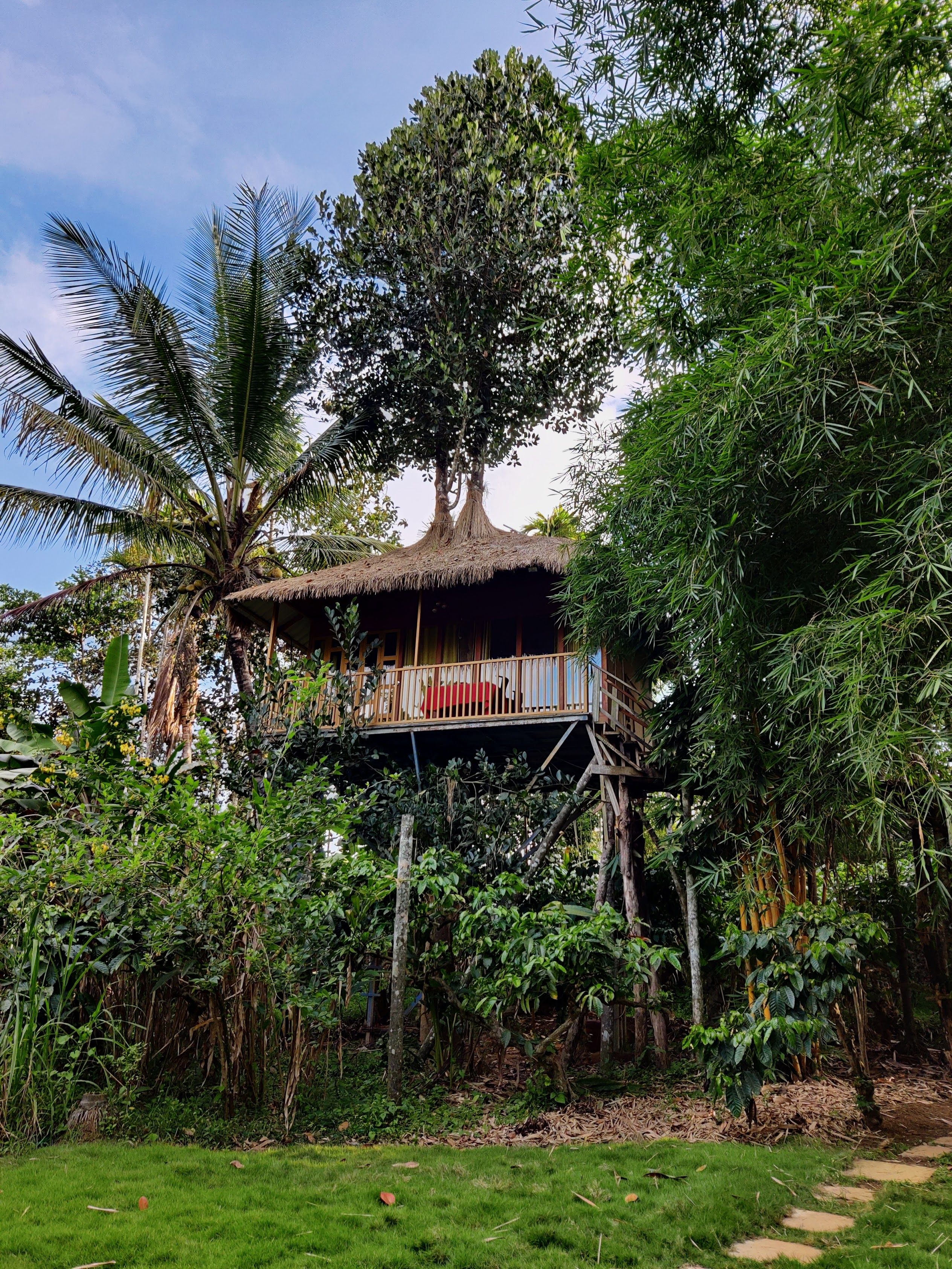
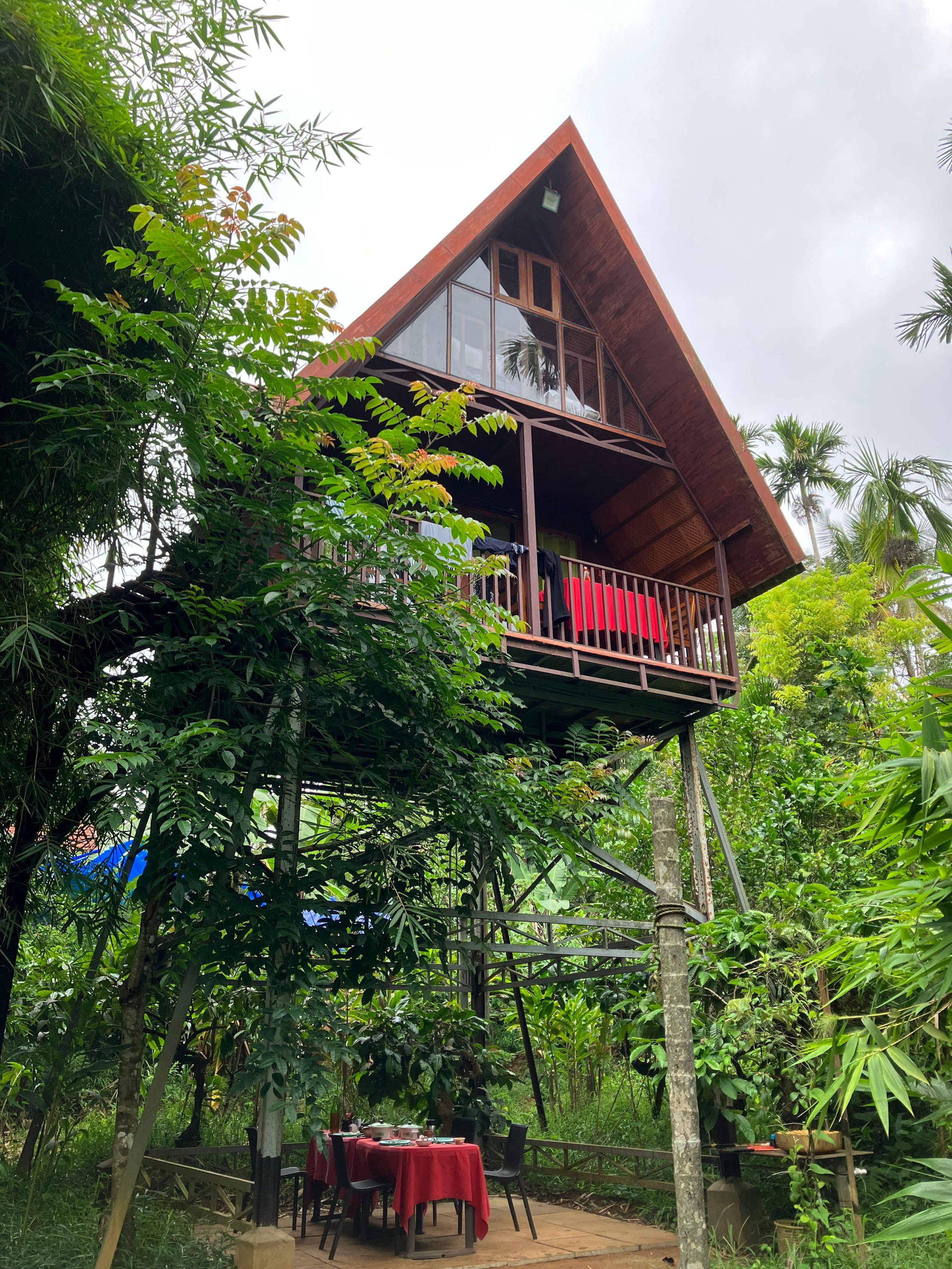
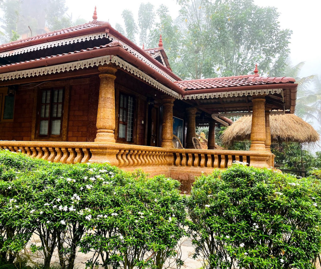
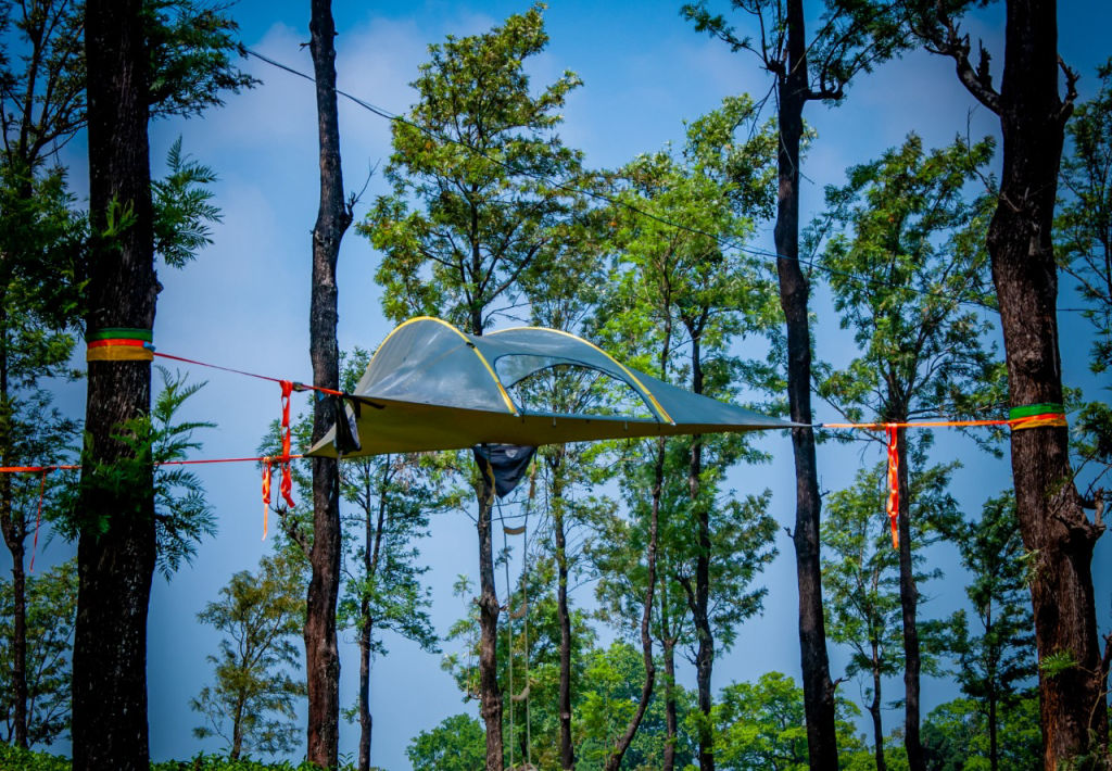
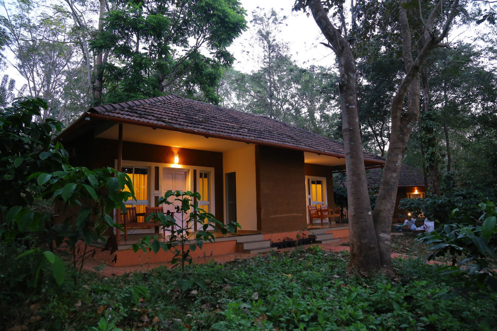
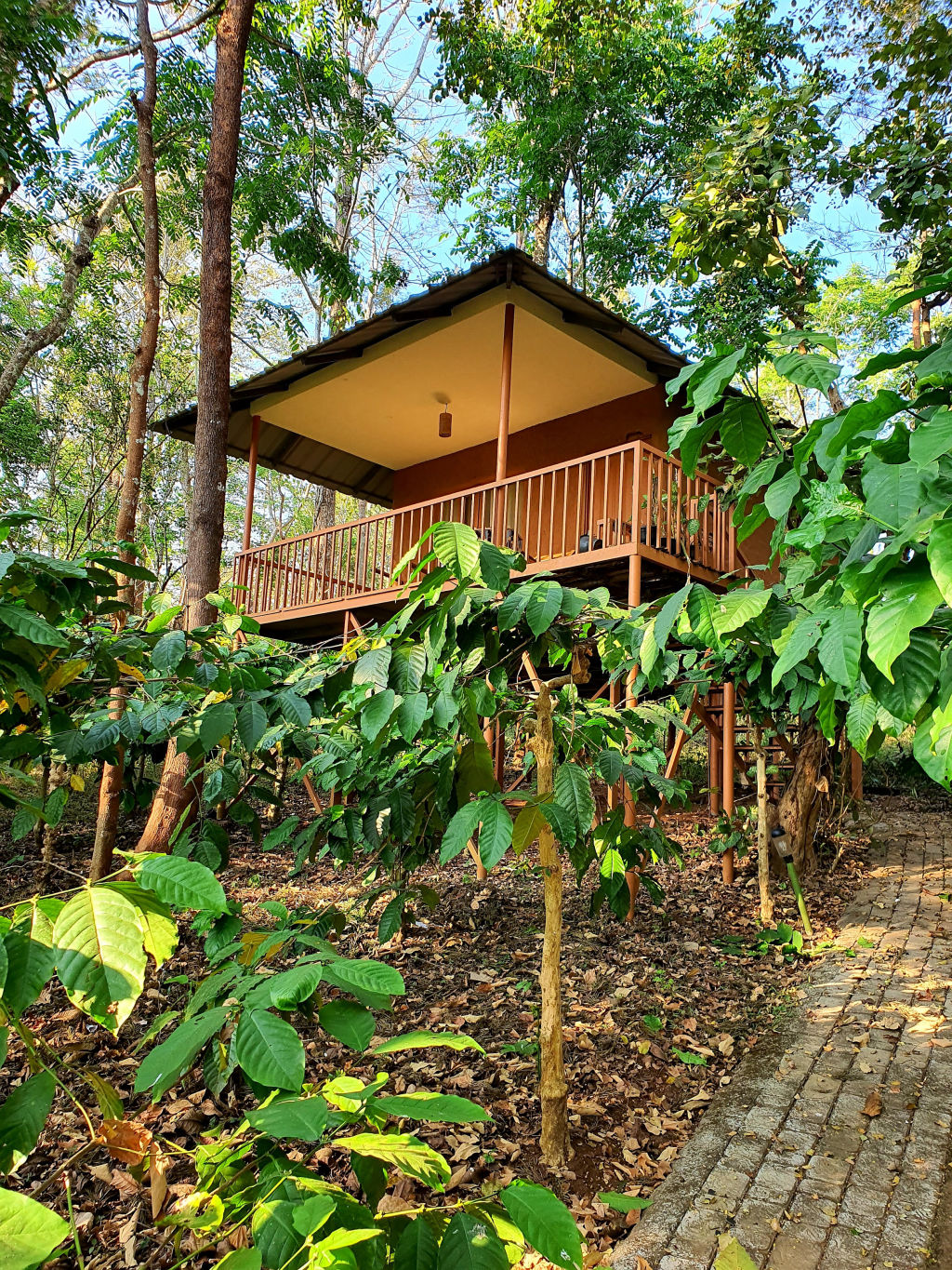
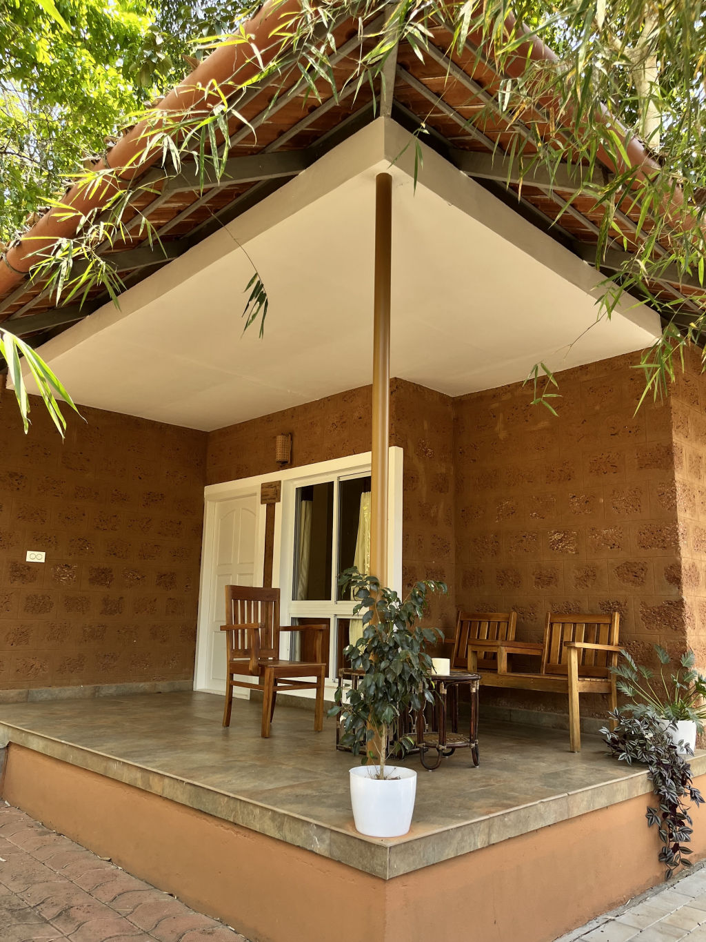
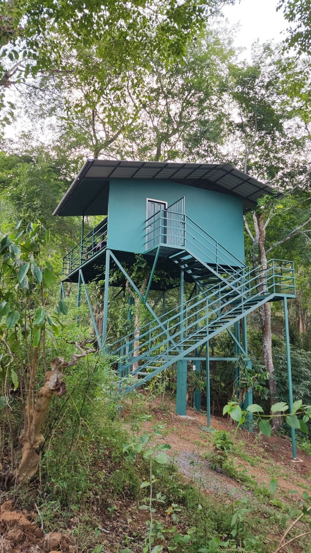
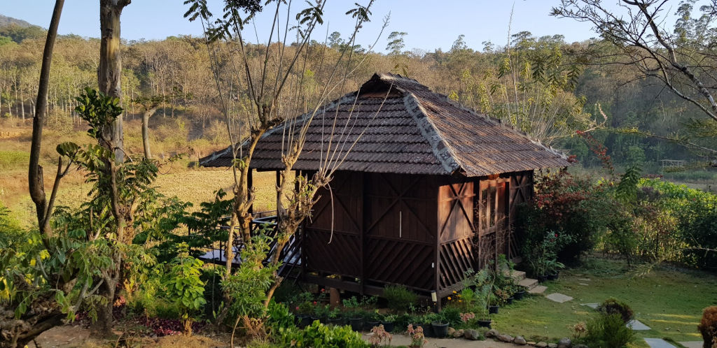
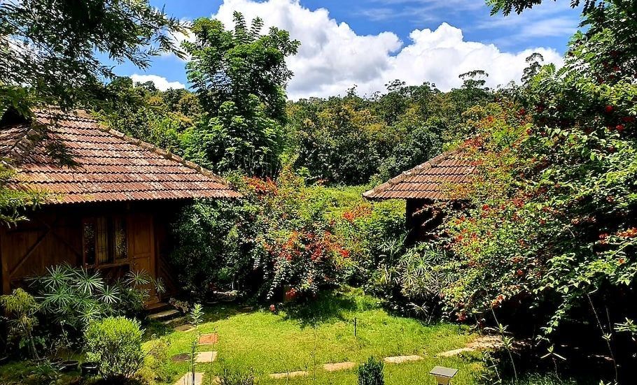
The area around Banasura Hill and the surrounding rural pockets of Wayanad feature a diverse selection of stays suited for quiet getaways and nature lovers. You can find rustic riverside campsites, eco-friendly plantations stays tucked into coffee and pepper estates, and comfortable family-run homestays.
Whether you are looking for an open-sky campsite close to the trails or a traditional Kerala-style home with locally cooked meals, you can discover and reserve your ideal accommodation in the vicinity through HireACamp.
Frequently asked questions
How difficult is the trek to Banasura Hill?
The trek is considered moderately difficult to challenging, owing to its steep gradients, rocky ridges, and exposed sections that demand good physical endurance and reliable trekking footwear.
Do I need permission or a guide to trek Banasura Hill?
Yes, trail regulations and safety rules apply because the peak traverses protected forest zones. It is best to check locally with the forest department and hire a local guide who knows the terrain and weather patterns.
Can Banasura Hill be climbed during the monsoon?
Trekking during peak monsoon months is generally not recommended because heavy downpours make the steep trails extremely slippery, stream crossings unpredictable, and leeches very prevalent.
How far is Banasura Hill from Kozhikode?
Banasura Hill is approximately ninety to one hundred kilometres from Kozhikode by road, with the journey typically taking around three hours depending on ghat road traffic.
Where you'll be
Kerala · 12 stays nearby shown with prices
Stays near Banasura Hill
Book a place to stay close by

More places near Banasura Hill
Within 20 km


Built from 0 Instagram posts by 0 creators. Every tip links back to the post it came from, and where creators disagree we show both sides.






