
Kamalgad Fort
Fort near Nandgane, Maharashtra
1 post · 2 sourced tips
Guide from 1 post by 1 creator
@yolo.miles
Hidden gem
Far fewer reviews than places like it nearby, yet creators keep finding it.
2 km from Nandgane
The nearest town, for stays, food and fuel.
Kamalgad Fort
Kamalgad Fort is situated in the Sahyadri mountain range near Wai between Pune and Satara, known for its green ridges during and after the monsoon season.
Good to know
Tips from creators' posts. Each one links to its source.
Getting there
By road
- From NandganeNearest town10 min · 4.4 km
- From Pune2 hr 50 min · 117 km
- From Mumbai 4 hr 55 min · 258 km
- From Nashik7 hr 25 min · 336 km
By train, bus or air
- Mahad S.T. Stand And Bus DepotNearest bus stand2 hr 35 min · 116 km
- Panchgani Air SafariNearest airport1 hr 15 min · 47 km
Typical drive times without traffic. Places, distances and typical drive times from OLA Maps; notes from creators' Reels.
About Kamalgad Fort
Written with AI from creators' posts and map data. Check prices and timings locally before you go.
About Kamalgad Fort
Kamalgad Fort stands at an elevation in the Sahyadri mountains of Western Maharashtra, located near the town of Wai in the Satara district. The fort sits on an isolated highland plateau flanked by steep drop-offs, making it a naturally fortified lookout point in centuries past. Unlike many sprawling Maratha forts that feature extensive defensive walls and towers, Kamalgad is defined by its natural rock barriers and vertical cliffs, which made artificial battlements almost unnecessary.
The fort has a storied regional past, serving as an observation post and strategic mountain outpost. Its summit features an unusual architectural relic: a deep, rock-cut well or pit carved directly into the stone, which locals and historians refer to as the Geru well or kattal well. From the upper edges of the plateau, travellers can look out across the expanse of the Krishna river valley, neighbouring forts, and the winding backwaters of nearby reservoirs.
The landscape and trekking route
The ascent to Kamalgad Fort is an engaging walk through changing terrain. Trails typically begin from small rural settlements near Nandgane and Kondhavali, winding through cultivated fields, scrub forest, and wooded slopes before emerging onto the steep grassy shoulders of the mountain. Along the trail, walkers encounter rock-strewn pathways, gentle dirt tracks, and short sections where hands and feet are needed to navigate natural rock steps.
As you gain elevation, the landscape opens up dramatically. The mountain ridges fall away sharply on either side, offering breathtaking sights of surrounding Sahyadri peaks. The final approach brings hikers up onto the broad, open plateau of the fort. Here, open grasslands and weathered stone ruins stretch under expansive skies, providing ample space to walk around, rest, and photograph the panoramic scenery stretching across the valley below.
Read more
Best time to visit Kamalgad Fort
The character of Kamalgad Fort shifts significantly across the seasons. The hills and ridges surrounding Kamalgad turn lush green during the monsoon and post-monsoon months. Between late June and September, frequent rain showers feed the regional vegetation, drape the cliffs in mist, and bring out small seasonal streams. Trekking during this period offers striking greenery, though paths can be muddy and exposed rock sections require extra care.
The post-monsoon window from October through February is widely considered the most comfortable time for a visit. The heavy rains recede, the skies clear to a crisp blue, and the surrounding countryside retains much of its verdant color. Daytime temperatures are generally moderate, and cooler breezes make walking pleasant. By late winter and into the pre-monsoon summer, the grasses dry to golden brown and midday temperatures climb sharply, making early morning ascents essential for anyone venturing up the fort.
How to reach Kamalgad Fort
Kamalgad Fort is conveniently accessible by road from several major cities in Maharashtra. From Pune, the journey covers roughly 117 kilometres and typically takes about 2 hours and 50 minutes without heavy traffic. The route leads south along the national highway before turning off toward the historic town of Wai and continuing on village roads toward Nandgane and Kondhavali at the base of the fort.
Travellers driving from Mumbai face a journey of approximately 258 kilometres, which usually takes around 5 hours in clear driving conditions, travelling down the Mumbai-Pune Expressway and proceeding past Pune toward Wai. For those coming from Nashik, the drive is about 336 kilometres and takes approximately 7 hours and 30 minutes. If using public transport, you can take a bus or train to Pune or Satara, continue to Wai by state transport bus, and arrange local transit to reach the base village. Actual travel times will vary based on weather and road conditions, so planning for daylight travel is recommended.
Places to visit near Kamalgad Fort
The area around Wai and the Satara district is rich in scenic viewpoints, lakes, and historic sites. Just 6 kilometres away in straight-line distance is Dhom Lake, a wide and peaceful water body formed by the Dhom Dam, popular for scenic drives and waterside walks. Facing Kamalgad across the valley is Kenjalgad, located about 6 kilometres away, another impressive hill fort with a sheer, massive rock plateau that makes for an excellent companion trek.
A short distance further, approximately 8 kilometres away, lies the famous Table Land in Panchgani, an expansive flat laterite plateau known for sweeping vantage points. For those willing to venture further across the region, the world-renowned Kaas Plateau is about 29 kilometres distant, famous for its fleeting carpet of wildflowers at the end of the monsoon. Historic trekking bastions such as Torna Fort sit roughly 37 kilometres away, while the panoramic Urmodi Dam View Point and the hilltop sanctuary of Sajjangad Fort are located approximately 40 kilometres to the south.
Tips for your visit
Because Kamalgad Fort is an undeveloped mountain site, self-reliance is key to a comfortable trip. There are no retail stalls or drinking water sources atop the plateau, so visitors must carry sufficient drinking water and high-energy trail snacks from the base village. Sturdy trekking shoes with dependable grip are strongly advised, as dirt sections can become slick with mud in the rains or loose underfoot during the drier months.
Weather on the open ridges can change rapidly. A light rain jacket or windbreaker is helpful during monsoon months, while a broad-brimmed hat and sunscreen are necessary during the sunnier seasons. Start your climb early in the morning to beat the midday heat and ensure adequate daylight for the descent. Always practice responsible outdoor ethics by packing out all your plastic wrappers, bottles, and personal litter to protect the local environment.
Where to stay near Kamalgad Fort
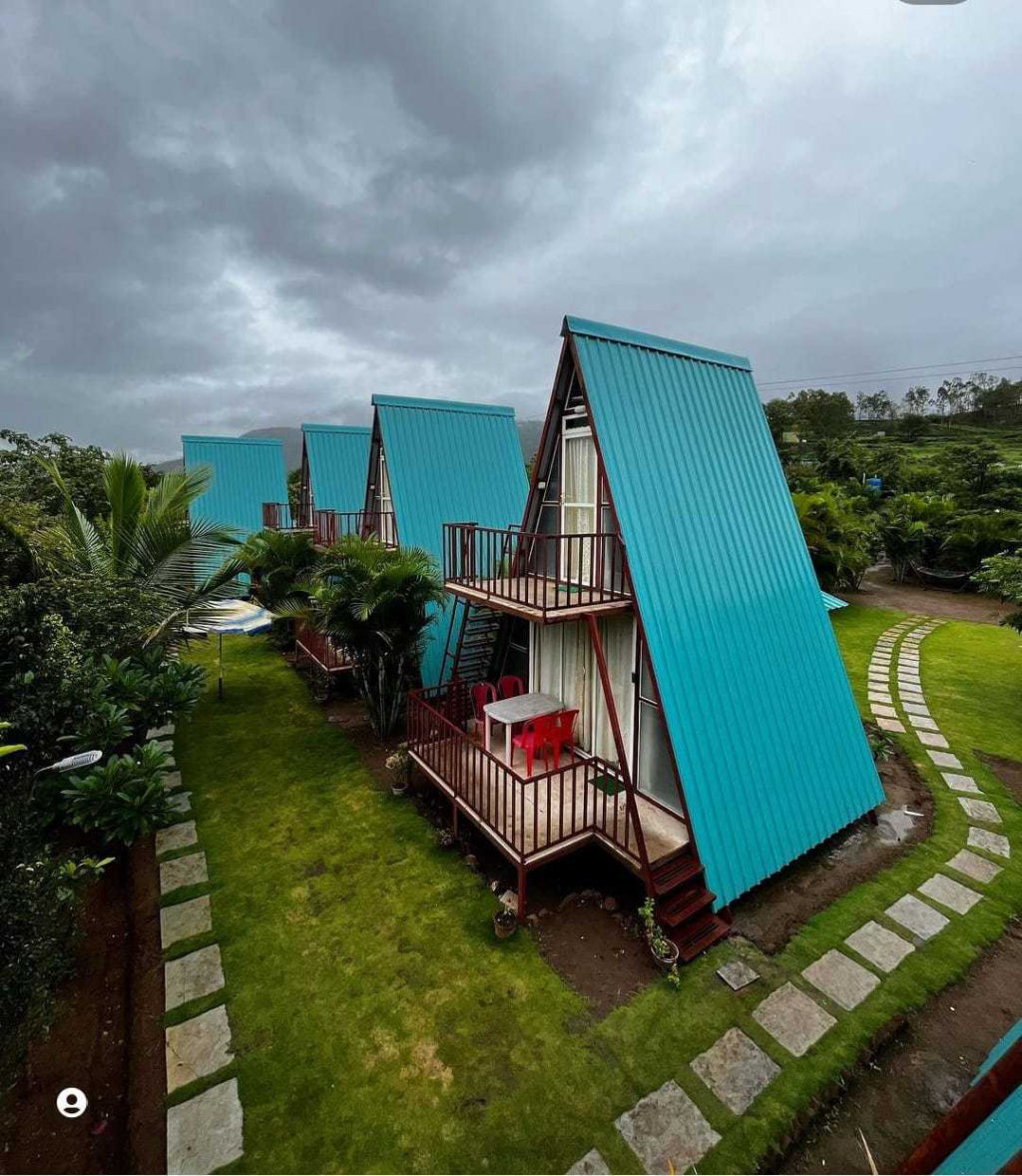
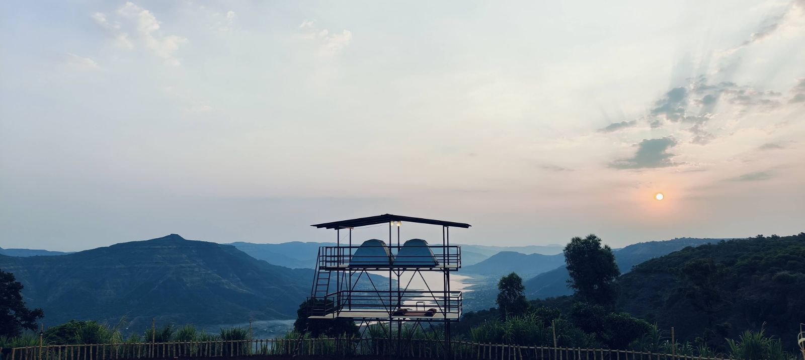
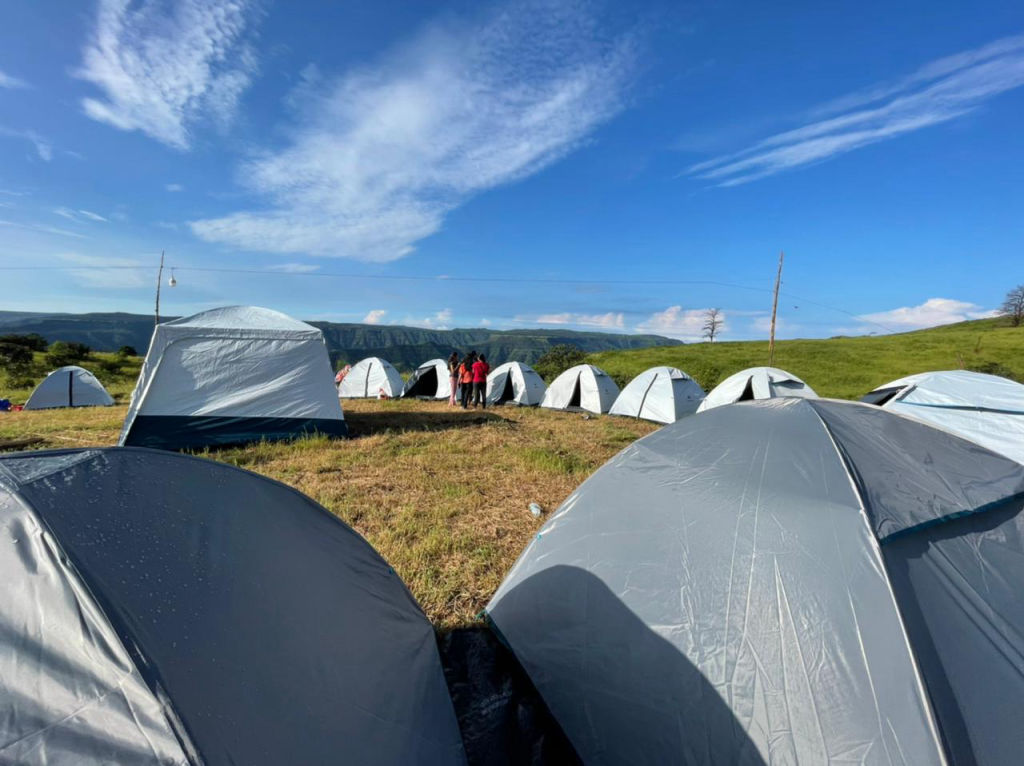
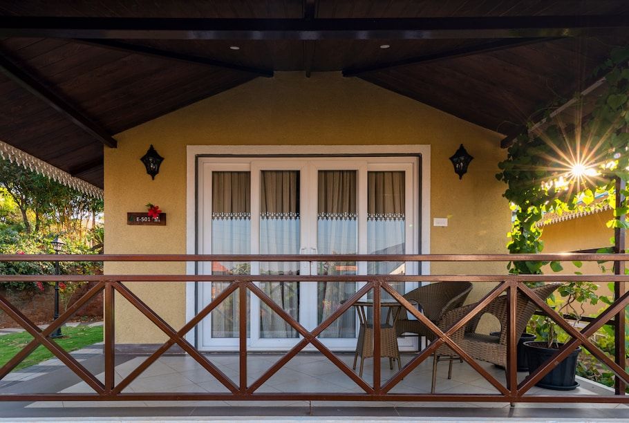
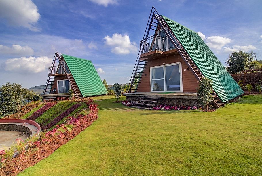
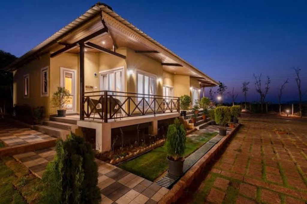
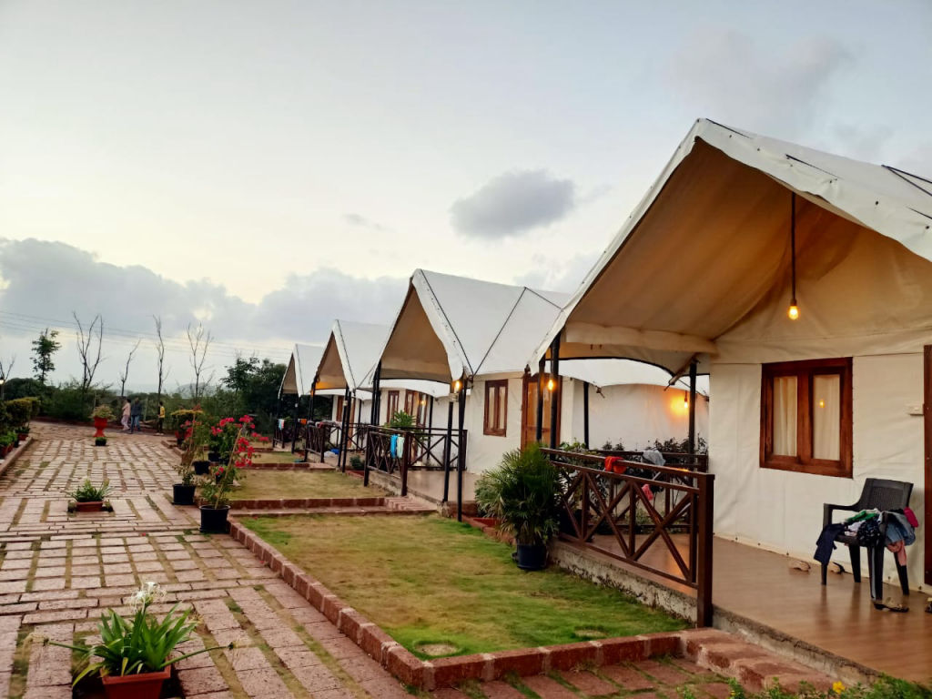
While there are no permanent lodging facilities on the fort itself, the surrounding region offers several overnight possibilities. The base villages near Wai and the tranquil countryside around Dhom Lake host welcoming rural homestays, private farm stays, and scenic outdoor camping sites that allow you to unwind close to nature.
Whether you are looking for an open-air tent experience by the lake, an offbeat rural homestay, or comfortable countryside accommodations close to the trailheads, camps, homestays, and other stays nearby can be found on HireACamp. Booking your stay nearby allows you to begin your hike to Kamalgad early in the morning and take full advantage of the cool highland air.
Frequently asked questions
Where is Kamalgad Fort located?
Kamalgad Fort is located in the Sahyadri mountain range near Wai, situated between Pune and Satara in Maharashtra, with base trails starting near the village of Nandgane.
What is the best time of year to visit Kamalgad Fort?
The monsoon and post-monsoon months from July to February are the best times to visit, when the surrounding ridges turn lush green and temperatures are pleasant for walking.
How long does it take to reach Kamalgad Fort from Pune and Mumbai?
Under typical traffic-free conditions, the drive takes about 2 hours and 50 minutes from Pune over 117 kilometres, and about 5 hours from Mumbai over 258 kilometres.
Are there food and water facilities on top of Kamalgad Fort?
No, there are no commercial stalls, shops, or reliable drinking water points on top of the fort, so travellers should carry all necessary food and water from the base.
What is the rock-cut well at Kamalgad Fort?
The fort features a unique, deep well-like structure cut directly into the solid rock plateau, traditionally known as the Geru or kattal well, which once served as a cistern and regional landmark.
Where you'll be
XP8W+X35, Nandgane, Kondhavali bk, Maharashtra 412803 · 7 stays nearby shown with prices
As seen on Instagram
The posts this guide is built from
Stays near Kamalgad Fort
Book a place to stay close by
Often visited together
Creators who went here also showed these


More places near Kamalgad Fort
Within 20 km


Lists for this area
Ranked by how many creators recommend each place


Built from 1 Instagram post by 1 creator. Every tip links back to the post it came from, and where creators disagree we show both sides. Guide updated 22 Oct 2026.


