
Kamandurg
Peak near Chandrapada, Maharashtra
8.3 km from Chandrapada
The nearest town, for stays, food and fuel.
Kamandurg is a prominent rocky peak and historic hill outpost located near Chandrapada in the Palghar and Vasai region of Maharashtra. Rising high above the surrounding creek valleys and deciduous woodlands, it offers a challenging day hike for outdoor enthusiasts seeking untamed trails near Mumbai. Visitors make the trek to explore old rock-cut ruins and enjoy panoramic views across the coastal plains and Western Ghats foothills.
Getting there
By road
- From ChandrapadaNearest town59 min · 36 km
- From Mumbai 1 hr 55 min · 67 km
- From Nashik3 hr 5 min · 144 km
- From Pune3 hr 30 min · 168 km
Typical drive times without traffic. Stations and airports from OLA Maps; distances and typical drive times from OpenStreetMap (© OpenStreetMap contributors); notes from creators' Reels.
About Kamandurg
Written with AI from map data and general knowledge. Check prices and timings locally before you go.
About Kamandurg Peak
Rising sharply above the lowlands of the Vasai hinterland, Kamandurg is an ancient hill peak that historically served as a strategic observation post. Due to its commanding height over the Kaman creek and inland routes between the Arabian Sea and the Deccan plateau, past rulers utilized the vantage point to monitor maritime and overland movements. While time has weathered most former military architecture, remnants like rock-cut water cisterns, stone steps, and subtle fortification traces remain visible on the ridge.
The mountain is known for its distinctive rocky crests that stand out prominently against the skyline. Below the rocky pinnacles, the terrain transitions into thick scrub and deciduous forest interspersed with traditional farmlands and small rural settlements. Because it remains relatively untouched by heavy commercial tourism, Kamandurg appeals to hikers who appreciate raw nature, solitary trails, and rugged hill terrain.
The Trek to Kamandurg
The hiking route to Kamandurg typically begins from base settlements near Chandrapada or Kaman. The trail is rated as moderate to demanding, requiring a good baseline of physical fitness and comfort with uneven surfaces. The lower segment winds gently through farm clearings, woodland paths, and seasonal river beds before starting a steeper ascent up the mountain's eastern slopes.
As the trail climbs higher, the forest canopy opens into exposed rocky spurs and loose scree. Hikers must negotiate steep gradients and occasional scrambles where careful foot placement is necessary. Close to the summit ridge, ancient rock steps assist with the final ascent onto the plateau. From the top, trekkers are greeted with wide views of the Vasai creek, the dense greenery of the Tungareshwar wildlife sanctuary, and the sprawling coastal landscape.
Read more
Best Time to Visit Kamandurg
The ideal period to climb Kamandurg is during the post-monsoon and winter months, spanning from October to February. Throughout this season, the humidity drops, day temperatures are pleasant, and clear skies allow for excellent visibility from the peak. Early morning starts during the winter ensure you complete the steeper, shadeless sections of the climb before the midday sun gains strength.
The monsoon season from June to September covers the hill in lush green foliage, flowing streams, and thick passing clouds. However, heavy rains make the red mud paths slick and the scree sections unstable, requiring extra caution and experienced footing. The summer season between March and May is characterized by hot, dry weather and high humidity, making the exposed upper climbs exhausting. Hikers visiting in summer should begin at first light.
How to Reach Kamandurg
Kamandurg is situated near Chandrapada in Maharashtra and is straightforward to reach from major urban hubs such as Mumbai and Thane. Motorists can travel along the Western Express Highway or use the Ghodbunder Road connector towards the Kaman-Bhiwandi corridor. Rural arterial roads then lead directly to the small hamlets at the base of the peak, where parking can typically be arranged in coordination with local residents.
Those using public transit can take advantage of the suburban rail network. The nearest railway stations are Kaman Road on the central connecting line, as well as Vasai Road and Naigaon on the Western railway route. From these stations, state transport buses, shared autos, and private auto-rickshaws provide onward connections to Chandrapada and nearby base trailheads.
Places to Visit Around Kamandurg
A hike up Kamandurg can be paired with exploring several cultural and coastal destinations across the Vasai and Thane belt. Located approximately sixteen kilometres away on the coast, Vasai Fort stands as an impressive seaside fortress featuring massive ramparts, old Portuguese chapels, and views across the Arabian Sea.
Nature lovers can also explore the northern stretches of Sanjay Gandhi National Park and the rock-cut Kanheri Caves, both located roughly twenty kilometres from the peak area. For seaside relaxation following a day on the trail, coastal shores like Aksa Beach and Juhu Beach offer open ocean horizons, evening breezes, and local beachside food markets.
Tips for Your Visit
Kamandurg is a rustic trail with virtually no commercial stalls, shops, or facilities once you leave the base village. It is essential to carry at least two to three litres of drinking water per person along with energy-dense trail snacks to sustain your stamina throughout the climb.
Wear sturdy trekking shoes that offer solid traction on loose gravel and rock faces. Long trousers and lightweight, full-sleeved shirts are advisable to protect against scratches from dense shrubs and prickly grasses. Because the route has limited signage, tracking the trail via an offline map or hiring a local resident from Chandrapada as a guide is strongly recommended to prevent losing your way.
Where to Stay near Kamandurg
Wild camping atop the rocky summit is best suited only for self-sufficient hikers who carry their own gear, tents, food, and water. For most travellers, staying at base accommodations offers a more comfortable and practical experience.
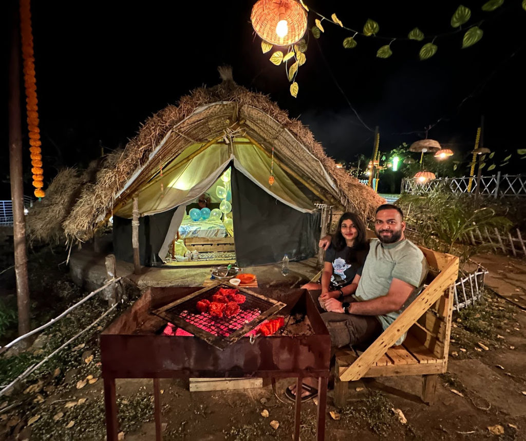
You can find nature-friendly campsites, quiet farm stays, and private homestays listed on HireACamp within the surrounding rural pockets of Vasai and Palghar. Booking a nearby stay lets you rest before or after the hike, enjoy rural hospitality, and start the trail early in the morning.
Frequently asked questions
How difficult is the trek to Kamandurg?
The trek is considered moderate to strenuous. It involves steep forest ascents, scree-laden slopes, and brief rocky scrambles near the summit that require good physical stamina.
How long does it take to climb Kamandurg?
The ascent generally takes between two to three hours from the base village near Chandrapada, depending on your pace, with a similar amount of time needed for the descent.
Is a guide required to trek Kamandurg?
While not legally mandatory, hiring a local guide from the base village is highly recommended because the trail passes through dense woods and crisscrossing paths with little to no trail marking.
Are there food and water facilities on the peak?
No, there are no vendors or potable drinking water sources on Kamandurg. Trekkers must pack all their food and sufficient drinking water from the base.
Where you'll be
Maharashtra · 1 stay nearby shown with prices
Stays near Kamandurg
Book a place to stay close by
More places near Kamandurg
Within 20 km


Lists for this area
Ranked by how many creators recommend each place


Built from 0 Instagram posts by 0 creators. Every tip links back to the post it came from, and where creators disagree we show both sides.






