
Tungareshwar Peak
Peak near Chandrapada, Maharashtra
9.8 km from Chandrapada
The nearest town, for stays, food and fuel.
Tungareshwar Peak is the highest vantage point in the Tungareshwar Wildlife Sanctuary, rising above the forest tracts near Chandrapada and Vasai in Maharashtra. Hikers and nature lovers visit the peak for its quiet wooded trails, seasonal streams, and expansive views across the northern Mumbai metropolitan region. It offers an accessible outdoor retreat surrounded by dense deciduous greenery and rugged terrain.
Getting there
By road
- From ChandrapadaNearest town29 min · 17 km
- From Mumbai 1 hr 50 min · 74 km
- From Nashik3 hr 20 min · 153 km
- From Pune4 hr 5 min · 197 km
Typical drive times without traffic. Stations and airports from OLA Maps; distances and typical drive times from OpenStreetMap (© OpenStreetMap contributors); notes from creators' Reels.
About Tungareshwar Peak
Written with AI from map data and general knowledge. Check prices and timings locally before you go.
About Tungareshwar Peak
Tungareshwar Peak sits within the dense deciduous woodland that forms the northern boundary of the extended green belt around the Mumbai metropolitan region. Overlooking the suburban plains near Chandrapada and Vasai, the peak stands out as a prominent high point in the region. The surrounding protected forest is officially designated as a wildlife sanctuary, creating an essential ecological corridor connecting inland wilderness with the coastal hills.
The elevation rewards hikers with sweeping views that extend toward the Arabian Sea coastline to the west and rolling Sahyadri ridges to the east. Unlike heavily developed urban parks, the slopes around Tungareshwar Peak preserve a wild, dense tree canopy that feels remote and peaceful despite its proximity to major highways and towns.
The trek to Tungareshwar Peak
The journey up Tungareshwar Peak is a popular half-day excursion for trekkers of varying experience levels. The standard approach begins near the forest entry checkpost close to Chandrapada and the well-known forest temple. From the lower forested pathways, the route weaves gently upward through rocky patches, earthen paths, and shaded groves of teak, bamboo, and wild trees.
Past the temple area, the trail narrows and becomes noticeably steeper as it climbs toward the upper ridge. While the trail is largely unpaved and can feature loose gravel or mud, it does not demand technical climbing equipment. Reaching the open, windswept summit offers expansive 360-degree viewpoints, making the steady uphill walk worthwhile for anyone seeking fresh outdoor air.
Read more
Best time to visit
The landscape around the peak changes dramatically across the seasons. The monsoon months, from late June through September, transform the surrounding hills into a vibrant green landscape. During this period, runoff streams flow vigorously across the trail, seasonal waterfalls cascade down rock faces, and low-hanging clouds often envelop the peak. While the rainy season is the most scenic, the trail can become slippery, requiring sturdy footwear and careful steps.
Winter, spanning November to February, is generally regarded as the most comfortable period for hiking. The air is crisp in the early mornings, humidity levels drop, and clear skies offer the sharpest long-distance views from the top. Summer months from March to May are typically hot and dry, with sparse foliage; hikers attempting the route during summer should start at dawn to avoid the harsh midday heat.
Wildlife and nature on the slopes
The slopes leading up to Tungareshwar Peak are rich in biodiversity and form a critical habitat for regional wildlife. The forest is characterized by dry and moist deciduous species, interspersed with dense thickets of wild bamboo and seasonal flowering shrubs. During post-monsoon months, wildflowers, ferns, and various species of fungi carpet the forest floor along shaded gullies.
Birdwatchers frequently explore the lower and middle trails around the peak, where species such as bulbuls, sunbirds, parakeets, flycatchers, and oriental magpie-robins can be spotted through the canopy. The sanctuary is also home to small mammals, reptiles, and a diverse range of butterflies that gather near natural water pools and shaded ravines.
How to reach Tungareshwar Peak
Tungareshwar Peak is easily reachable from both Mumbai and Thane. Travellers relying on public transit can take the Western Railway suburban line to Vasai Road or Naigaon railway station. From the stations, local auto-rickshaws, shared vehicles, or buses provide transport toward Chandrapada and the forest sanctuary entrance.
For those driving private vehicles or riding motorcycles, the area connects directly off the Mumbai-Ahmedabad National Highway (NH 48). Turning off near the Vasai-Chandrapada junction leads onto the access road approaching the base of the hill. Vehicle access is typically restricted to the lower sections of the forest, meaning visitors must complete the final ascent to the peak on foot.
Tips for your visit
Planning ahead will ensure a safe and enjoyable trek to the peak. There are very few amenities beyond the initial forest entry and temple area, so it is essential to carry sufficient drinking water and light snacks for the entire duration of the hike. Sturdy trekking shoes with dependable grip are strongly recommended, especially in the rainy season when rocks become slick.
Because Tungareshwar is an environmentally sensitive protected habitat, visitors must take all trash back with them and avoid loud music or disturbing wildlife. It is also wise to check locally with forest authorities at the entry gate regarding any seasonal restrictions, daily gate timings, or entry requirements before heading up the trail.
Places to visit nearby
The surrounding Vasai and Thane districts host several historical and natural attractions that can easily be combined with a trip to the peak. To the west lies the historic Vasai Fort, an expansive stone citadel featuring centuries-old church ruins, ramparts, and open views of the Vasai Creek and sea.
For additional outdoor exploration, the northern reaches of Sanjay Gandhi National Park and the ancient rock-cut Kanheri Caves sit roughly 25 to 26 kilometres to the south. Travellers heading toward the interior can also visit Tansa Lake, located about 39 kilometres away, known for its tranquil reservoir surroundings and forested borders.
Where to stay near Tungareshwar Peak
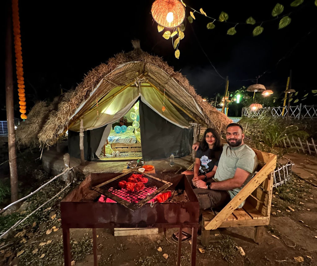
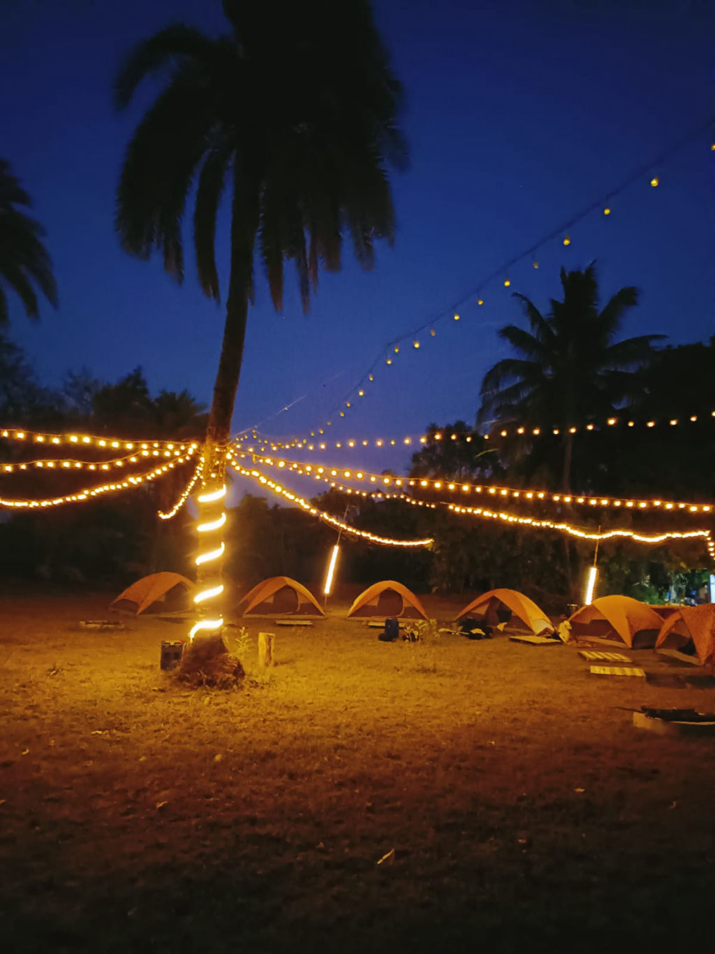
While overnight camping or stays on the peak itself are generally not permitted in order to protect sanctuary wildlife, there are several accommodation options in the nearby countryside and coastal belts. Travellers looking to make a weekend getaway can browse homestays, nature retreats, and eco-friendly campsites in the surrounding Vasai and Palghar areas on HireACamp. These stays provide a relaxing base for an early morning ascent and a quiet place to unwind afterwards.
Frequently asked questions
How difficult is the trek to Tungareshwar Peak?
The trek is considered moderate in difficulty, featuring an unpaved, uphill path with loose gravel and earthen stretches. It is suitable for beginners with basic fitness, though good trekking shoes are advised.
Can I take my vehicle up to Tungareshwar Peak?
No, vehicles cannot go all the way to the peak. You can drive up to the forest base or temple area, after which the remainder of the route to the summit must be covered on foot.
Are food and drinking water available at the summit?
No, there are no stalls, shops, or drinking water points at Tungareshwar Peak. You should carry enough water and snacks for the entire hike from the base.
What is the best time of year to visit Tungareshwar Peak?
The peak is best visited between July and September for lush green scenery and waterfalls, or between November and February for cooler weather and clearer summit views.
Where you'll be
Maharashtra · 2 stays nearby shown with prices
Stays near Tungareshwar Peak
Book a place to stay close by
More places near Tungareshwar Peak
Within 20 km


Lists for this area
Ranked by how many creators recommend each place


Built from 0 Instagram posts by 0 creators. Every tip links back to the post it came from, and where creators disagree we show both sides.






