
Kote Betta
Peak near Madapur, Karnataka
6.6 km from Madapur
The nearest town, for stays, food and fuel.
Kote Betta is one of the most prominent peaks in the Kodagu district of Karnataka, rising majestically near the town of Somvarpet. Named for its fort-like natural contours, the mountain stands tall amidst the lush ridges of the Western Ghats. Travellers and hikers head to Kote Betta to experience a rewarding day trek that winds through sprawling coffee plantations, dense shola woodlands, and windswept montane grasslands.
Getting there
By road
- From MadapurNearest town31 min · 14 km
- From Mysuru3 hr · 128 km
- From Mangaluru3 hr 40 min · 168 km
- From Bengaluru5 hr 15 min · 274 km
Typical drive times without traffic. Stations and airports from OLA Maps; distances and typical drive times from OpenStreetMap (© OpenStreetMap contributors); notes from creators' Reels.
About Kote Betta
Written with AI from map data and general knowledge. Check prices and timings locally before you go.
About Kote Betta
Rising in the northern part of Kodagu district, Kote Betta is recognized as one of the highest peaks in the region. The Kannada word Kote translates to fort, while Betta means hill or mountain. The peak earned this name because its summit ridges naturally resemble the ramparts of a fortified citadel. From afar, the mountain presents a dramatic silhouette against the horizon, distinct from the smoother rolling knolls that characterize much of the surrounding landscape.
The hill is not merely a hiking landmark; it also holds cultural importance for local communities. Near the peak sits a modest stone temple dedicated to Lord Shiva, which draws devotees during local festivals and seasonal celebrations. Trekking up Kote Betta provides an authentic immersion into the varied microclimates of the Western Ghats, taking visitors from aromatic estate paths directly onto wild, wind-swept ridgelines.
The Trek to Kote Betta
The trek to Kote Betta is widely considered a moderate outing that offers a rich cross-section of Coorg's diverse geography. The route typically begins on the outskirts of villages near Somvarpet, frequently tracing paths that weave through privately owned coffee estates. In the initial stretches, you walk under the canopy of towering shade trees, accompanied by pepper vines clinging to tree trunks and the scent of wild cardamom and damp earth.
As you leave the cultivated boundaries behind, the trail begins a steeper ascent into natural forest cover. Here, shola trees and bamboo clusters filter the sunlight, creating a cool and quiet corridor. Further along, the dense canopy gives way to open montane grasslands. The final approach to the summit involves navigating rocky outcrops and wind-exposed ridges.
At the peak, visitors are greeted by uninterrupted views stretching across the hills of Kodagu and towards the adjacent Pushpagiri range. The open expanse makes it a remarkable spot to watch clouds roll across neighbouring valleys and to take in the sheer depth of the Western Ghats.
Read more
Best Time to Visit Kote Betta
The ideal time to visit Kote Betta is between October and March. During these post-monsoon and winter months, the weather in Kodagu is pleasantly cool, skies are largely clear, and daytime temperatures remain comfortable for walking outdoors. Early mornings during this window frequently bring dense mists that gradually burn off to reveal sharp, sunlit horizons.
The monsoon period, from June through September, brings intense rainfall across the Western Ghats. While the landscape turns intensely green and seasonal streams surge to life, the trail becomes slick, muddy, and populated by forest leeches. Trekking during peak monsoons requires careful footing and water-resistant gear. Heavy downpours can also obscure views completely.
Summer spans from late March through May. While mornings and evenings remain relatively mild, mid-day heat can make the exposed grassland segments of the trek exhausting. If visiting in late spring, an early morning start is essential to complete the ascent before the sun is at its highest.
How to Reach Kote Betta
Kote Betta is situated in the Kodagu district of Karnataka, with the town of Somvarpet serving as the primary urban gateway. It is also easily accessible from Madikeri, the district headquarters.
Travellers arriving by road from major cities like Bengaluru or Mysuru can take regular state transport buses or private vehicles toward Somvarpet or Madikeri. The drive winds through scenic rural Karnataka, crossing agricultural plains before climbing into the forested ghats. From Somvarpet or Madikeri, local taxis or auto-rickshaws can be arranged to drop you at the base trail points.
For those travelling by rail, the nearest major railway stations are located in Mysuru and Hassan. From either station, you can continue by bus or hired cab toward Kodagu. The closest operational airports are located in Mangaluru and Kannur, while Kempegowda International Airport in Bengaluru serves broader domestic and international flight networks.
Tips for Your Visit to Kote Betta
Because Kote Betta involves walking over uneven ground, rocky sections, and dirt trails, wearing sturdy hiking shoes with reliable grip is strongly advised. Footwear with good ankle support helps prevent slips, especially if descending damp slopes.
There are no shops, food stalls, or guaranteed drinking water sources along the trail or at the summit. Trekkers should carry ample drinking water, energy snacks, and basic electrolytes to stay hydrated throughout the walk. If trekking around the edges of the rainy season, carrying salt, leech guards, or insect repellent will help manage leeches along the damp forest floor.
Always respect the local environment and the heritage of the hill. Carry back all plastic wrappers, bottles, and personal litter to ensure the slopes remain undisturbed. Because forest regulations and local access requirements can change based on weather and conservation priorities, it is best to check locally before starting your climb.
Places to Visit Near Kote Betta
The region surrounding Kote Betta is dotted with notable viewpoints and outdoor landmarks. Nearby lies the vantage point of Mandalpatti, known for wide vistas over mist-covered hills and expansive panoramas of the western valleys. Close to it, Mugilupete offers another peaceful hillside perspective.
Nature lovers can explore the periphery of the Pushpagiri Wildlife Sanctuary, an ecologically fragile reserve that shelters diverse bird species and dense montane flora. For a dose of heritage and landscaped gardens, Raja's Seat in Madikeri provides a classic sunset viewing spot overlooking the distant ghats.
The surrounding rural countryside is also filled with smaller hamlets like Kakkabe and tranquil backroads that wind past spice estates, rivers, and tranquil countryside retreats.
Where to Stay Near Kote Betta
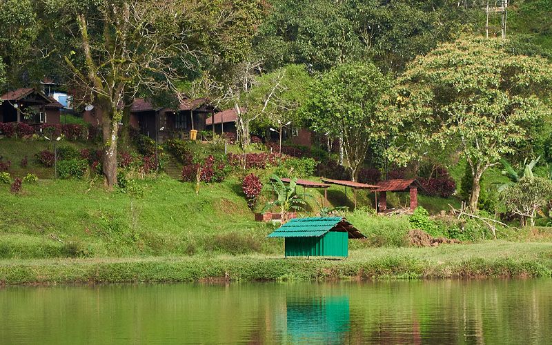
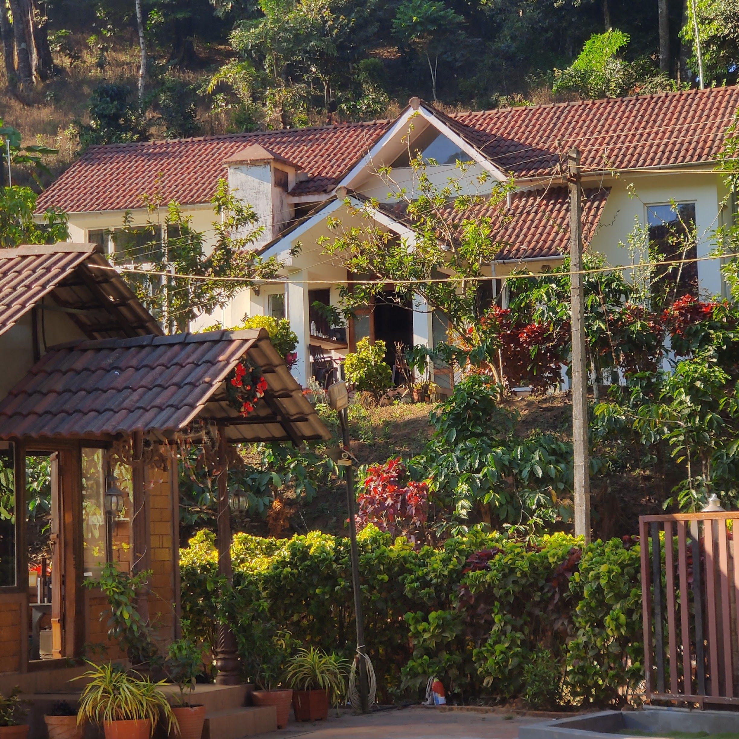
Travellers visiting Kote Betta can choose from a range of stays across the Somvarpet and Madikeri belts. The surrounding region is renowned for rustic homestays tucked away on private coffee estates, where you can experience Kodava hospitality, authentic regional cuisine, and the calm of rural life.
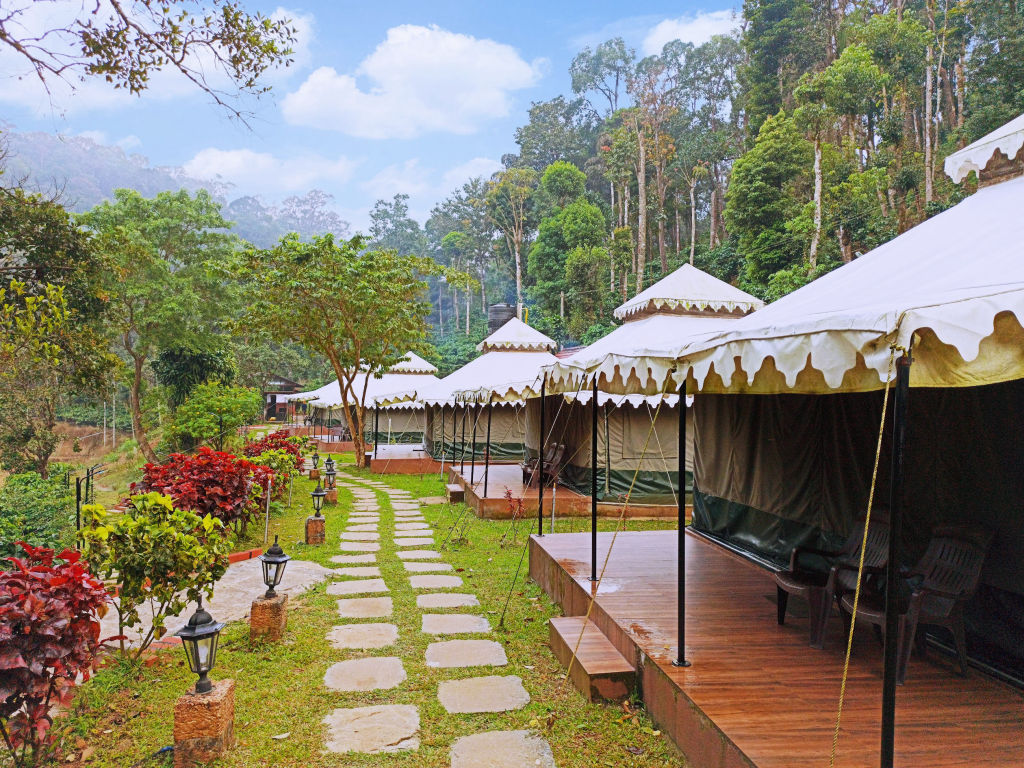
For those who prefer spending their nights closer to nature, riverside camps, estate campsites, and outdoor retreats are scattered across the foothills and valleys. You can browse and book verified campsites, private nature stays, and homestays near Kote Betta on HireACamp to plan your outdoor getaway.
Frequently asked questions
How difficult is the trek to Kote Betta?
The trek to Kote Betta is generally categorized as moderate. While the initial sections through coffee estates are relatively gentle, the ascent through forest patches and open, rocky grassland requires good basic fitness and comfortable hiking shoes.
Can I trek Kote Betta during the monsoon?
Trekking is possible during the monsoon, but it is challenging due to slippery mud, heavy rains, and the prevalence of leeches. Trekkers during this season should be well-prepared with water-resistant footwear and leech protection.
Are there food and water facilities on Kote Betta?
No, there are no commercial shops or potable water sources once you leave the base villages. You must carry sufficient water and food for the entire duration of your hike.
Do I need a guide to climb Kote Betta?
While experienced hikers often navigate the route independently, hiring a local guide or asking village residents for directions is recommended to ensure you stay on the correct trail and adhere to local access rules.
What is the nearest town to Kote Betta?
The nearest town is Somvarpet, which serves as the most convenient base for supplies, local transport, and starting the trek.
Where you'll be
Karnataka · 3 stays nearby shown with prices
Stays near Kote Betta
Book a place to stay close by
More places near Kote Betta
Within 20 km


Built from 0 Instagram posts by 0 creators. Every tip links back to the post it came from, and where creators disagree we show both sides.






