
Necklace Point
Viewpoint near Bhatghar, Maharashtra
4.3 km from Bhatghar
The nearest town, for stays, food and fuel.
Necklace Point is a scenic roadside viewpoint situated along the Bhor-Pune road in Maharashtra's Sahyadri region. It is celebrated for the dramatic horseshoe loop formed by the river below, which gracefully outlines an elevated landmass to resemble a jewelled necklace. Visitors stop here on countryside drives from Pune to enjoy expansive valley views, open breezes, and striking landscape photography.
Getting there
By road
- From BhatgharNearest town7 min · 4.9 km
- From Pune1 hr 5 min · 43 km
- From Mumbai 3 hr 30 min · 189 km
- From Nashik5 hr 35 min · 257 km
Typical drive times without traffic. Stations and airports from OLA Maps; distances and typical drive times from OpenStreetMap (© OpenStreetMap contributors); notes from creators' Reels.
About Necklace Point
Written with AI from map data and general knowledge. Check prices and timings locally before you go.
The natural landscape of Necklace Point
Necklace Point derives its evocative name from a distinctive geographical formation carved over centuries. As the river courses down from the Sahyadri ranges toward the plains of Bhor, it encounters a resistant promontory of basalt rock, forcing the water to bend in an almost complete circular loop before continuing eastward. When observed from the vantage point perched on the hillside above, the water wraps cleanly around the green agricultural knoll like a chain around a pendant.
This dramatic bend stands against the undulating contours of the Western Ghats. In the backdrop, terraced farmlands, small rural hamlets, and the silhouettes of towering historical forts frame the horizon. The landscape shifts dramatically with the agricultural cycles, turning from gold and ochre in the dry months to a deep mosaic of emerald green during the rains.
Best season to visit Necklace Point
The monsoon season, spanning from July to September, transforms Necklace Point into a vibrant spectacle. Steady rainfall replenishes the river basin, causing the water to swell and fill the bend completely while the surrounding hills wrap themselves in mist and low-hanging rain clouds. Driving through the Bhor countryside during these months offers cool temperatures and roadside waterfalls cascading down the ghat sections.
Post-monsoon and the winter months, extending from October through February, are equally rewarding. During this period, the sky clears to a sharp blue, and the air remains crisp and pleasant throughout the morning and late afternoon. Visibility is at its peak, making it the finest window for clear landscape photography and leisurely road journeys. The summer months from March to May can be hot and dry, with the river volume reducing, so travellers who visit then typically aim for the quiet golden hours around sunrise or sunset.
Read more
How to reach Necklace Point
Necklace Point is located along the arterial road connecting Bhor with Pune, making it an accessible day excursion or a relaxing scenic detour. For travellers arriving from Pune, the drive heads south along the Pune-Bengaluru highway before branching off toward Bhor town. The ascent leads through gentle ghat roads with wide turns and occasional pull-offs overlooking the plains.
Travellers driving down from Mumbai can connect through the Mumbai-Pune Expressway, bypass central Pune, and continue south past Shirwal to approach Bhor. State transport buses run frequent services between Pune's Swargate station and Bhor, from where local auto-rickshaws or shared taxis can be hired to reach the viewpoint. Having private transport or a rented vehicle offers the greatest flexibility to pause at will along the scenic stretch.
What to experience at Necklace Point
A visit to Necklace Point is centered around pausing, unwinding, and appreciating the quiet beauty of rural Maharashtra. The viewpoint itself is an open stretch along the road, offering unobstructed sightlines across the entire river meander. Photographers often set up tripods here during golden hour when the setting sun reflects off the looping water, casting long shadows across the valley floor.
Beyond quick photo stops, visitors often spend an hour breathing in the fresh countryside air, watching local birds soaring on the valley thermals, and observing farmers tending to paddy fields far below. Small roadside tea stalls frequently operate along this stretch, serving hot chai and regional snacks that pair naturally with the cool breeze and the sweeping vista.
Places to visit around Bhor
The area around Bhor is rich in both Maratha history and natural landmarks, making Necklace Point an ideal inclusion in a broader exploration of the region. Nearby hill fortresses like Kenjalgad, Torna, and Sinhagad draw trekkers and history enthusiasts seeking expansive defensive walls, ancient stone bastions, and demanding trails overlooking the Sahyadris.
For those drawn to tranquil waterbodies and hill terrain, Dhom Lake and the sprawling Table Land plateau in the Panchgani direction lie within comfortable driving range. Spiritual travellers can include stops at local heritage temples such as the BAPS Shri Swaminarayan Temple or plan a return route through Dive Ghat. The combination of rugged fortresses, peaceful dams, and rolling ghat roads makes the entire Bhor sub-district a fulfilling outdoor circuit.
Practical tips for visiting Necklace Point
Because Necklace Point is located adjacent to an active mountain road, visitors must exercise caution when pulling over. Always ensure your vehicle is parked well off the tarmac to avoid obstructing traffic on winding corners. There are no built-up pedestrian barricades or observation decks across every section, so mind your footing near steep drops, especially if rocks are wet during the monsoon.
Carry drinking water and a bag for any personal trash you generate, as waste disposal infrastructure along scenic highway viewpoints is limited. If you plan to spend time outdoors taking photographs or birdwatching, bring along a wide-brimmed hat, comfortable walking shoes, and sun protection, especially outside of the cloudy monsoon season.
Where to stay near Necklace Point
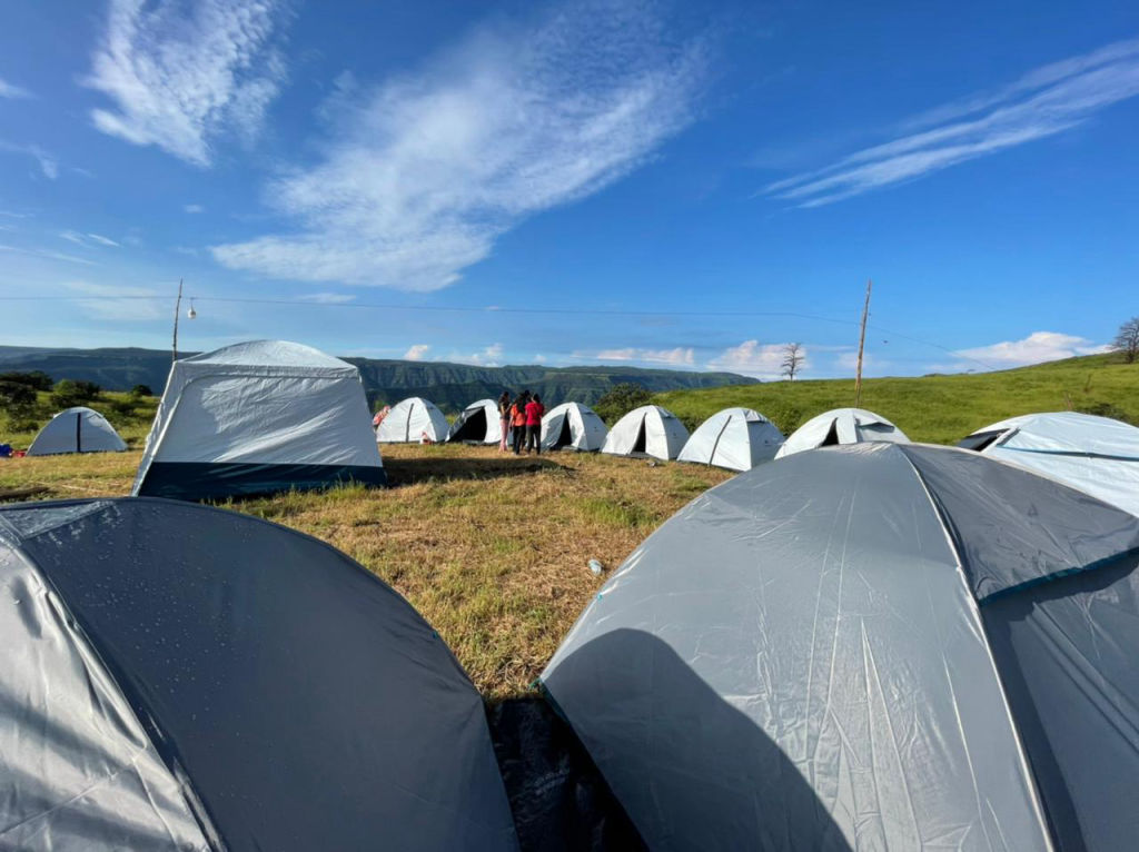
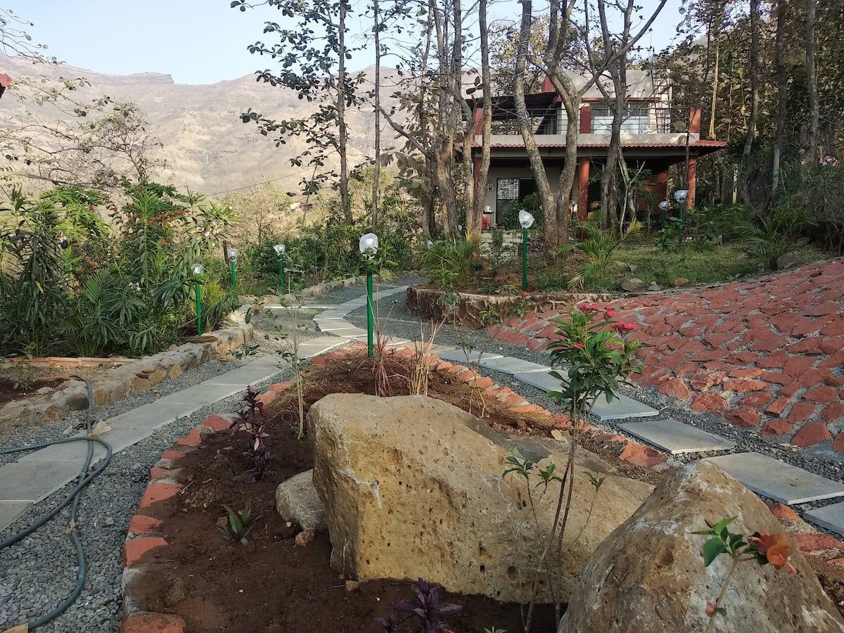
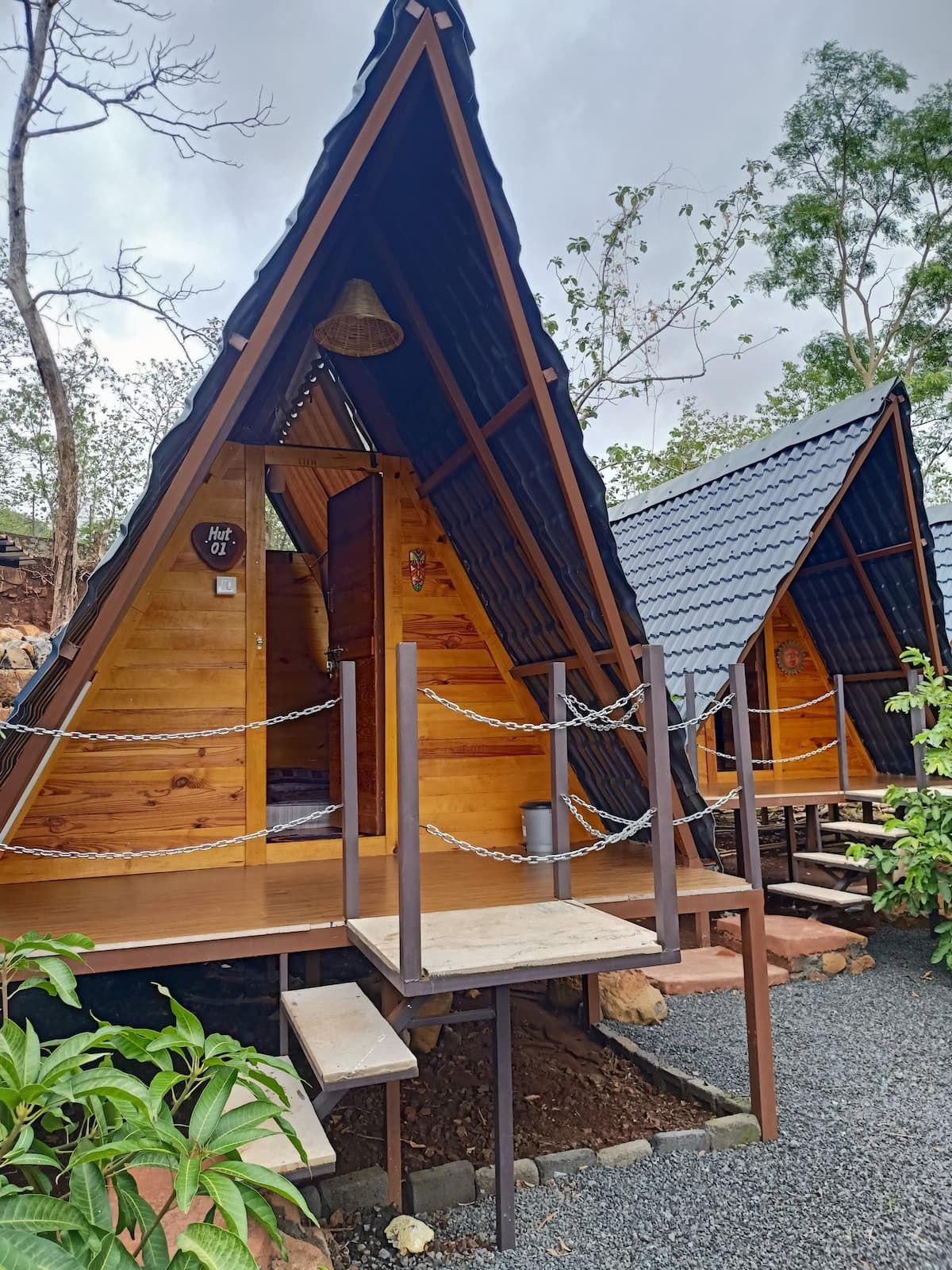
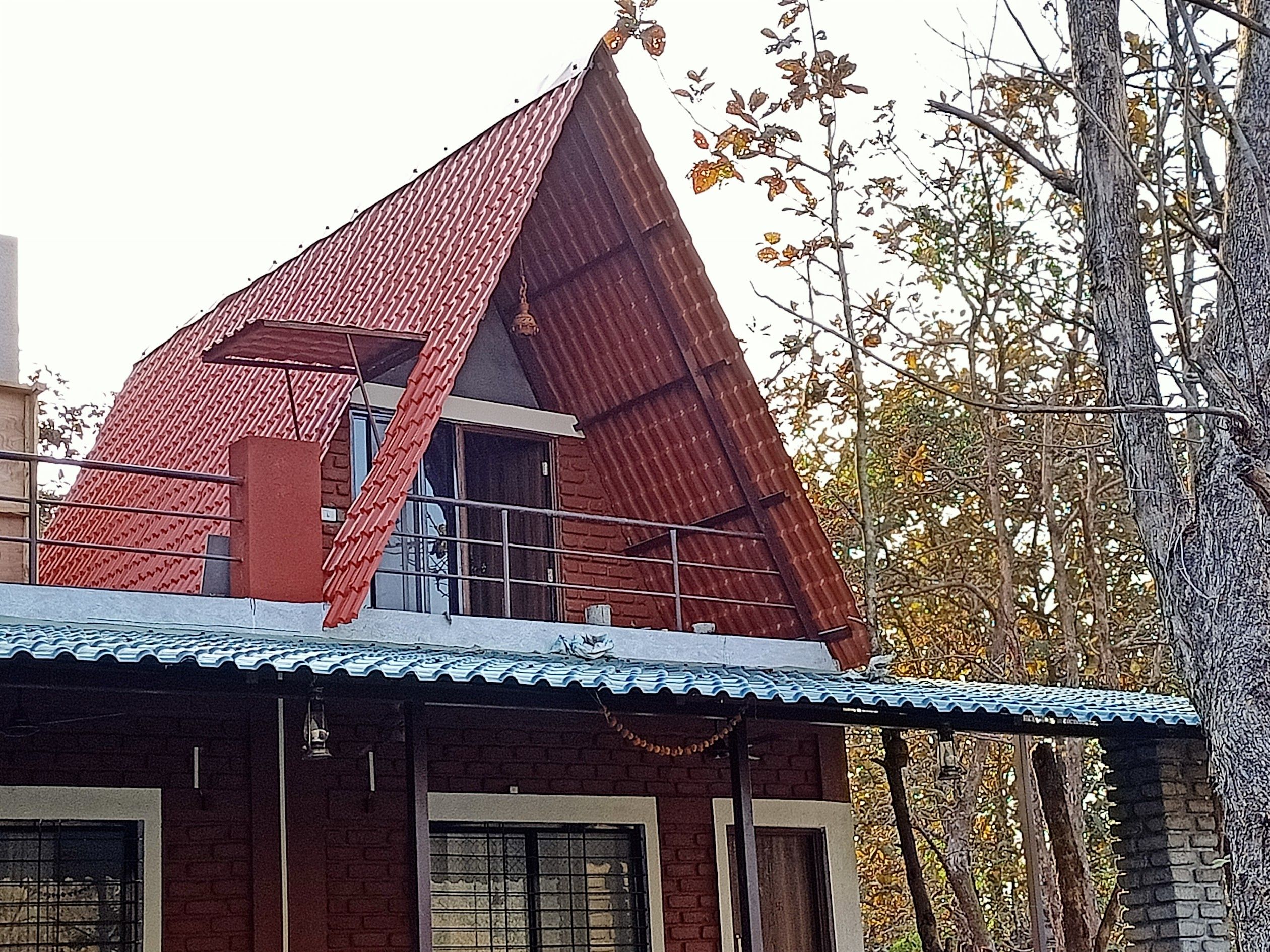
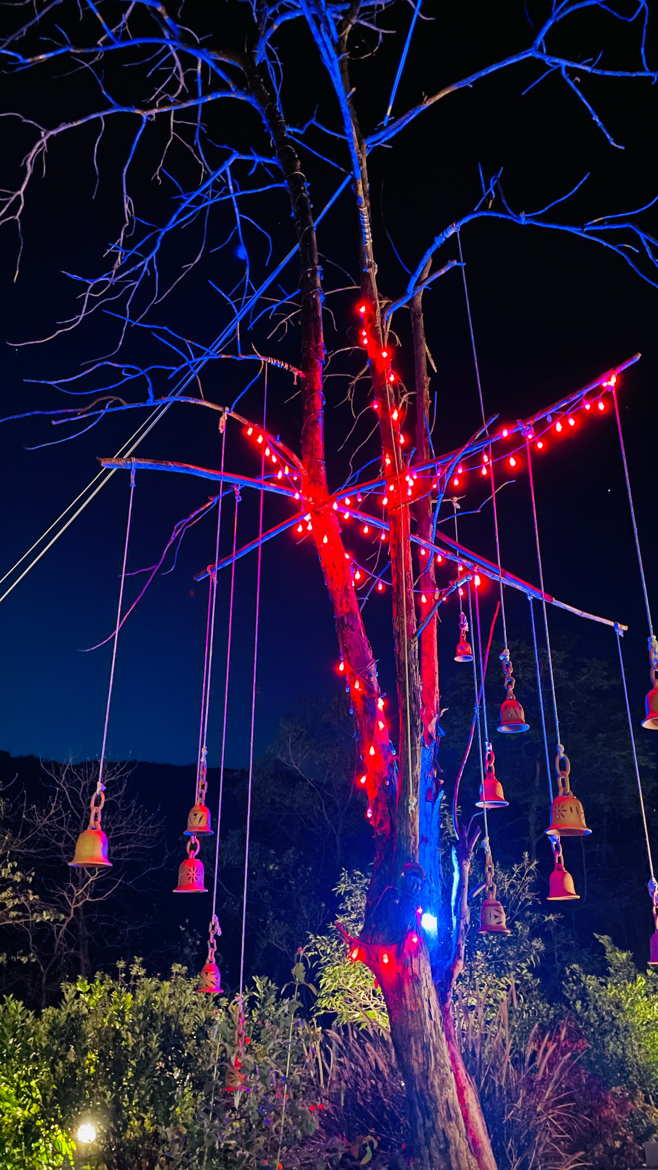
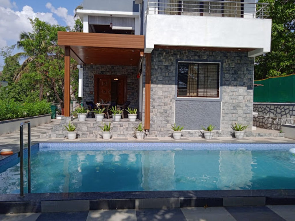
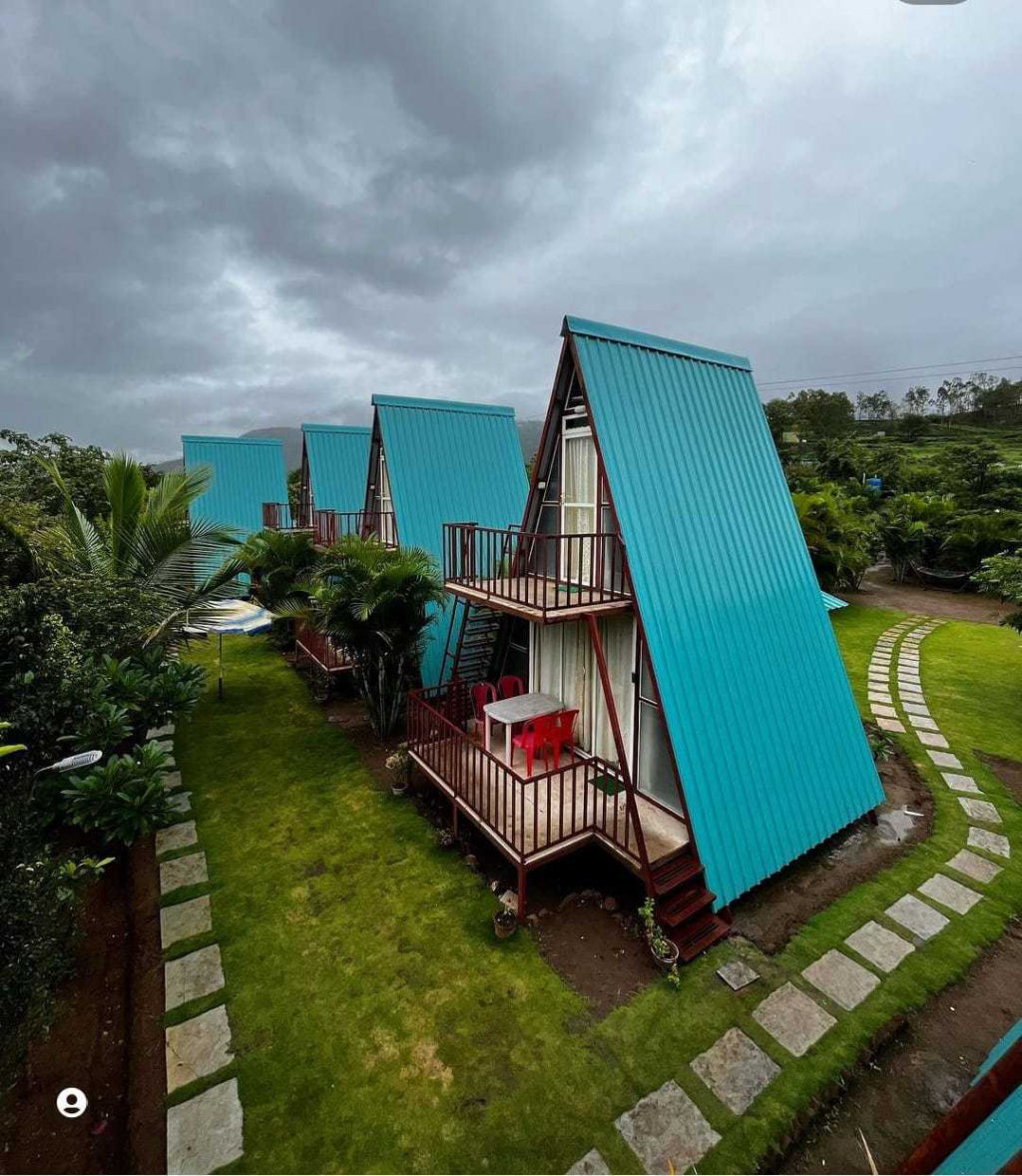
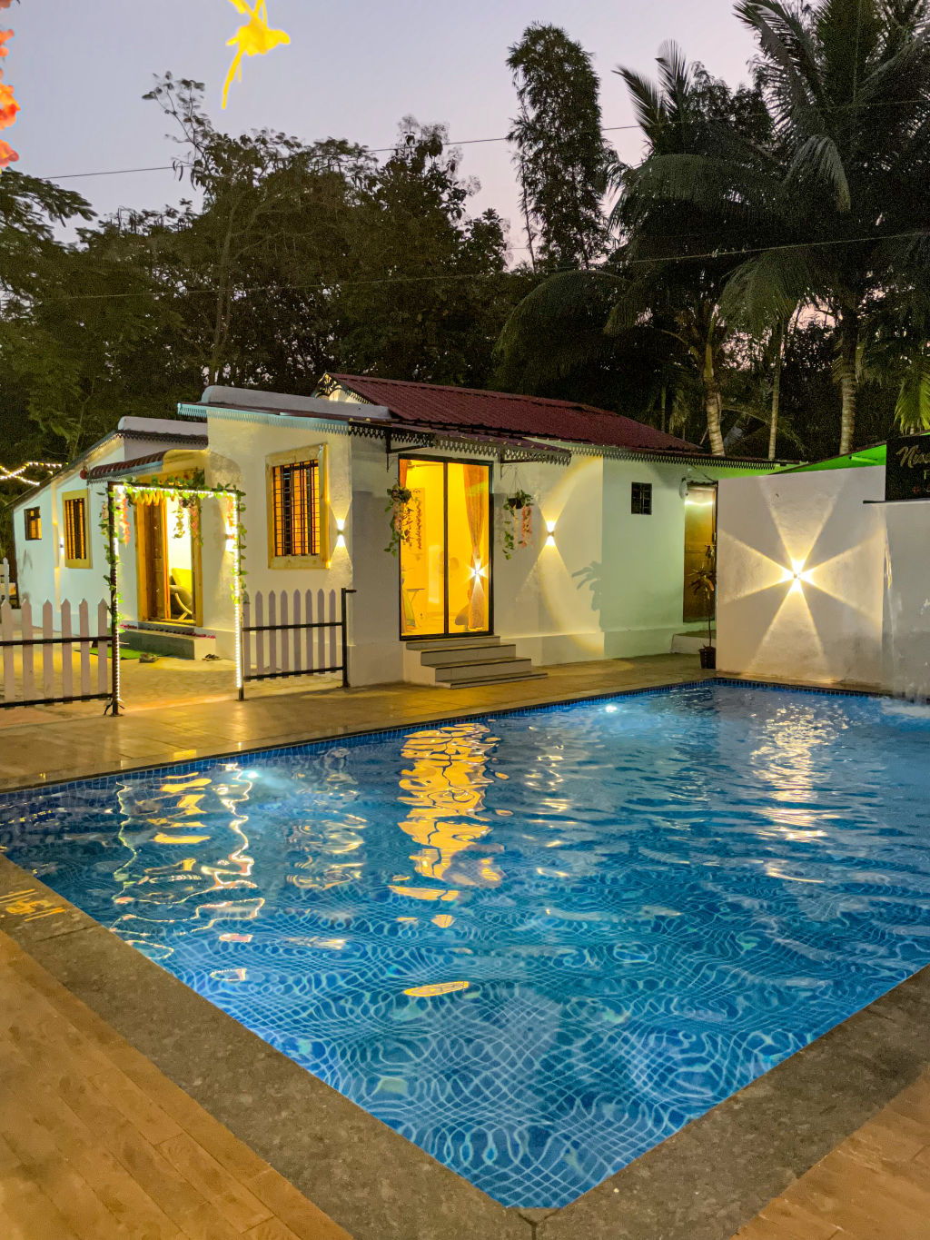
Staying near Bhor allows travellers to experience the quiet rhythm of the countryside and enjoy early morning mist rising over the river bend. The surrounding valleys and foothills host a variety of rustic farm stays, experiential campsites, and comfortable family-run homestays tucked away from highway noise.
Whether you are searching for a tent pitched beside a calm lake, an authentic agro-tourism retreat amidst fruit orchards, or a simple cottage with mountain vistas, a wide range of verified accommodations can be discovered and reserved through HireACamp.
Frequently asked questions
Why is the viewpoint called Necklace Point?
It earned the name because the river below makes an almost complete circular horseshoe bend around a central plateau, creating the visual impression of a necklace when seen from the hilltop above.
What is the best time of day to visit Necklace Point?
Early mornings and late afternoons are the best times to visit, providing cooler temperatures, soft golden light for photography, and clear views across the valley.
Is there an entry fee or ticket required at Necklace Point?
Necklace Point is an open roadside viewpoint, but travellers should check locally for any current regional parking rules or temporary visitor guidelines.
Can I visit Necklace Point during the monsoon season?
Yes, the monsoon months between July and September are among the most popular times to visit, as the river swells and the surrounding hills become lush and green.
Are there places to eat near Necklace Point?
Local roadside tea stalls and small snack vendors occasionally operate along the road near the viewpoint, while larger dhabas and traditional eateries can be found in the nearby town of Bhor.
Where you'll be
Bhor_pune Road, Bhor Sub-District, MH · 9 stays nearby shown with prices
Stays near Necklace Point
Book a place to stay close by
More places near Necklace Point
Within 20 km


Lists for this area
Ranked by how many creators recommend each place


Built from 0 Instagram posts by 0 creators. Every tip links back to the post it came from, and where creators disagree we show both sides.


