
Vavulmala
Peak near meppadi, Kerala
14 km from meppadi
The nearest town, for stays, food and fuel.
Vavulmala is a prominent mountain summit situated in the Vellarimala hill range of the Western Ghats in Kerala. As the highest point of the Camel's Hump Mountains, it draws seasoned hikers and outdoor enthusiasts eager to experience dense shola forests, sweeping grasslands, and untamed mountain wilderness. Travellers venture here to challenge themselves on demanding trails and take in panoramic views that stretch across the Malabar hill country.
Getting there
By road
- From meppadiNearest town1 hr 15 min · 50 km
- From Mysuru4 hr · 183 km
- From Kochi5 hr 30 min · 237 km
- From Coimbatore5 hr 55 min · 253 km
Typical drive times without traffic. Stations and airports from OLA Maps; distances and typical drive times from OpenStreetMap (© OpenStreetMap contributors); notes from creators' Reels.
About Vavulmala
Written with AI from map data and general knowledge. Check prices and timings locally before you go.
Understanding Vavulmala and the Vellarimala Range
Vavulmala stands as the highest crest of the Camel's Hump complex, an intricate sub-range of the Western Ghats that spans the boundaries of Kozhikode, Malappuram, and Wayanad districts in Kerala. Soaring high above the forested plateaus, the mountain dominates the local skyline with its dramatic escarpments and steep, knife-edge ridges.
The landscape surrounding Vavulmala is characterized by classic high-altitude tropical montane ecology. Vast stretches of wet evergreen forests blanket the lower slopes, eventually yielding to stunted shola groves and wind-swept montane grasslands on the upper reaches. Countless mountain rivulets originate along these slopes, carving out steep ravines and cascading down rocky precipices before flowing toward the Chaliyar river basin. The isolation of these hills has helped preserve rich biodiversity, providing a sanctuary for diverse flora, endemic bird species, and wildlife typical of the southern Western Ghats.
The Trekking Experience at Vavulmala
Reaching the heights of Vavulmala is widely considered one of the most physically challenging wilderness treks in Kerala. The route is notoriously steep and rugged, featuring sustained vertical elevation gain, slick forest floor beds, and dense undergrowth that demands good stamina and agility.
A typical ascent begins from the lower river valleys and winds through thick bamboo brakes and evergreen woodlands before opening up into higher grassland saddles. Trekkers encounter multiple river crossings, boulder-strewn watercourses, and narrow rocky crests where mist can rapidly roll in and obscure visibility. Navigating this terrain requires steady footing and careful attention to the trail, making it best suited for hikers with previous high-altitude or rough-terrain experience.
Because the peak lies within protected forest reserve territory, trekking regulations are strictly enforced. Entry into the core forest corridors is governed by local forest department authorities, and hikers must secure proper permissions and engage certified local guides before venturing past the lower trailheads. Visitors should check locally for up-to-date entry guidelines and forest clearance formalities.
Read more
Best Time to Visit Vavulmala
The ideal period to visit the region around Vavulmala spans from late September to February, coinciding with the post-monsoon and winter seasons. During these months, the intense south-west monsoon rains subside, leaving the hills lush, vibrant green, and flanked by clear skies. Daytime temperatures remain pleasant for walking, while early mornings and evenings can bring a brisk, refreshing mountain chill.
From March to May, the pre-monsoon summer takes over. Temperatures rise significantly along the foothills and exposed ridgelines, and water sources on the higher slopes begin to diminish. While the trails remain dry and clear, trekking during the heat of the day can be taxing.
The monsoon period from June through August brings heavy rainfall to the Western Ghats. During these months, the slopes around Vavulmala receive torrential downpours that cause swollen streams, flash floods in mountain gullies, slippery rock faces, and active leech populations. Trekking is generally not recommended or may be restricted by authorities during the peak monsoon for safety reasons.
How to Reach Vavulmala
Vavulmala is situated in northern Kerala and is accessible via the nearby hill district of Wayanad or from the plains of Kozhikode. The base areas for the range are typically reached through interior motorable roads that connect to state and national highway networks.
For travellers arriving by air, Calicut International Airport near Kozhikode is the closest airport, situated roughly eighty to one hundred kilometres away depending on the chosen base approach. The airport operates regular flights to major Indian cities as well as international hubs.
Kozhikode Railway Station is the nearest major railhead, well connected to major cities across India such as Kochi, Bengaluru, Chennai, and Mumbai. From Kozhikode, state transport buses, hired taxis, and local jeeps provide transport up the winding mountain roads into the Wayanad plateau or toward the foothills of the Vellarimala range. Private vehicles and taxis are often the most convenient choice for negotiating rural access roads leading toward trekking staging areas.
Essential Tips for the Trek
Trekking in the wilderness around Vavulmala requires thorough preparation, self-sufficiency, and respect for the natural environment. Carrying a sturdy pair of hiking boots with reliable grip is vital, as the combination of mossy granite slabs, muddy loam, and damp forest debris presents constant slipping hazards.
Leeches are prevalent across the lower and middle forest belts, particularly during the damp post-monsoon months. Trekkers should wear protective leech socks or carry salt and herbal repellents. Packing adequate drinking water and high-energy food is essential, as there are no settlements, stalls, or facilities once you enter the trail. It is also wise to pack a personal first-aid kit, a dependable headlamp, and a lightweight waterproof layer to guard against sudden showers.
Responsible travel ethics are critical in these fragile mountain ecosystems. Trekkers must carry all non-biodegradable waste back out of the forest, avoid creating open campfires in dry grassland corridors, and keep noise to a minimum so as not to disturb local wildlife.
Attractions Near Vavulmala
The broader area surrounding Vavulmala is home to several scenic natural destinations that make excellent additions to an itinerary. Kanthanpara Waterfalls, located approximately thirteen kilometres away, offers a gentle escape where cascading water drops amidst lush tea plantations and forested foothills, providing a relaxed atmosphere for swimming and picnicking.
Chembra Peak, situated roughly fourteen kilometres from Vavulmala, is another prominent Western Ghats summit famous for its high-altitude heart-shaped lake and rolling shola slopes. For those who appreciate tranquil water bodies, Pookode Lake, located about seventeen kilometres away, is a natural freshwater lake surrounded by dense evergreen woods, featuring walking paths and boat rentals.
Further north, Banasurasagar Dam and the adjacent Banasura Hill rise around seventeen to eighteen kilometres away. As one of the largest earthen dams in the region, Banasurasagar is known for its scenic reservoir studded with small islands and dramatic mountain backdrops, offering boat rides and serene viewpoints.
Where to Stay Near Vavulmala
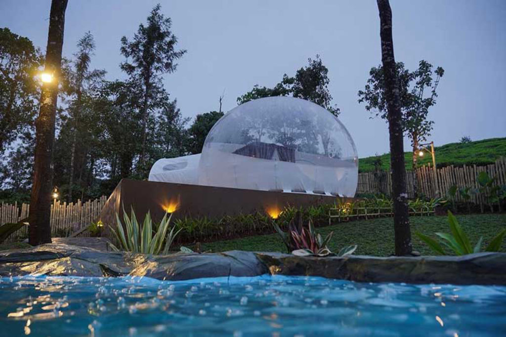
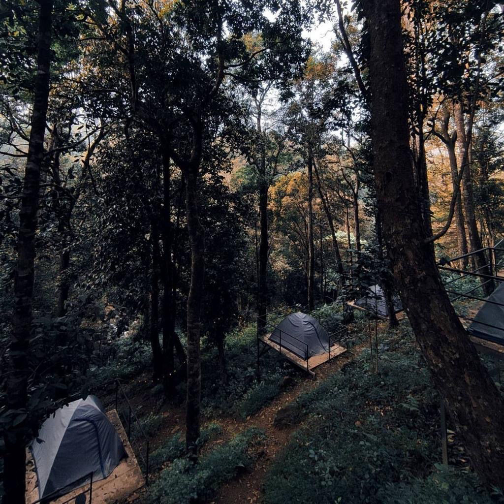
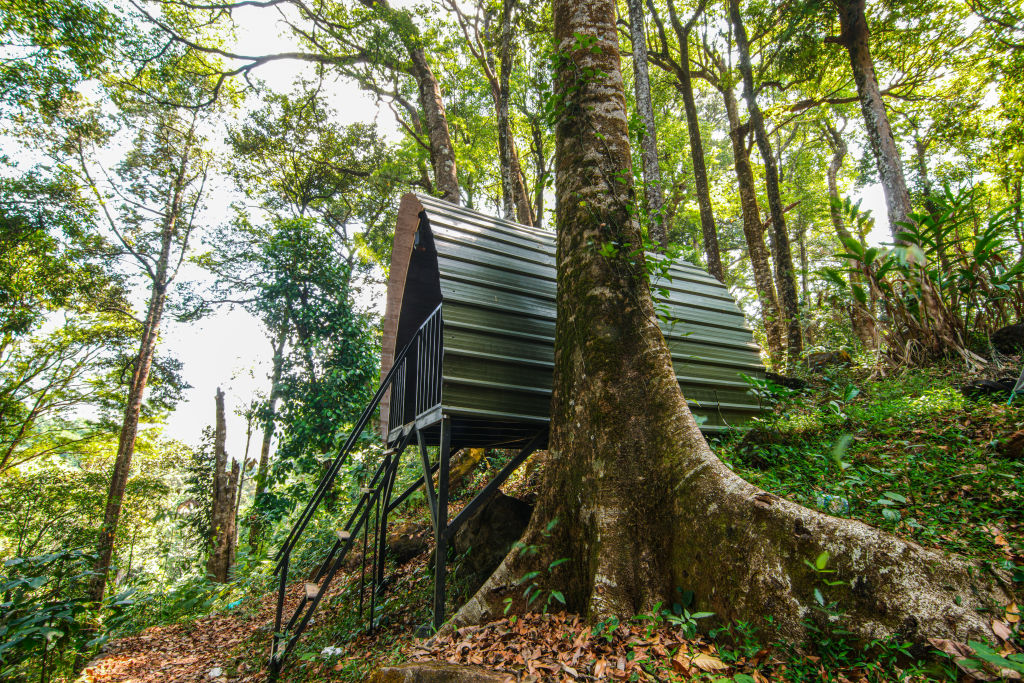
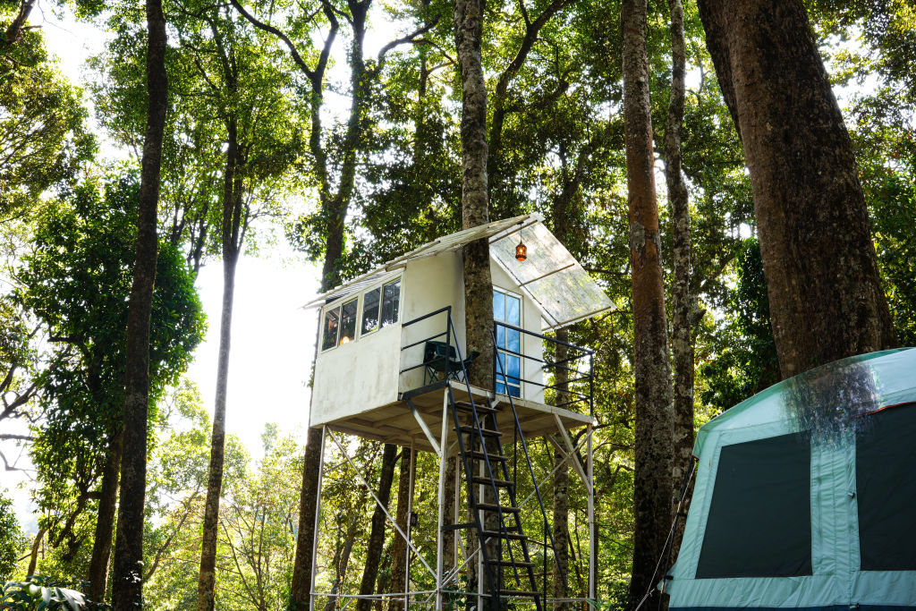
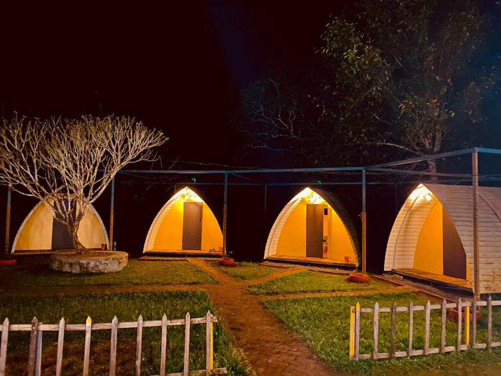
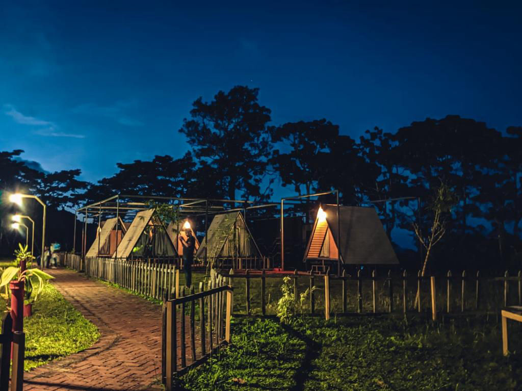
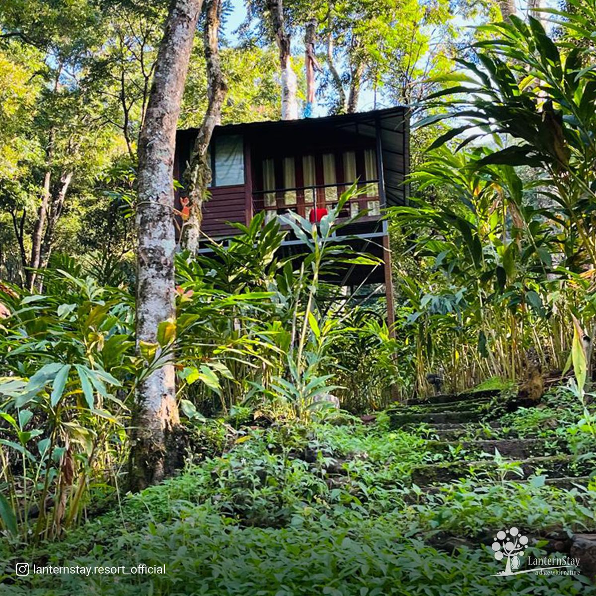
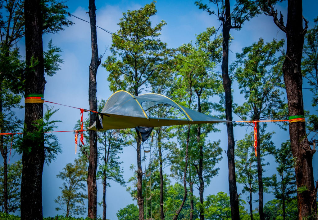
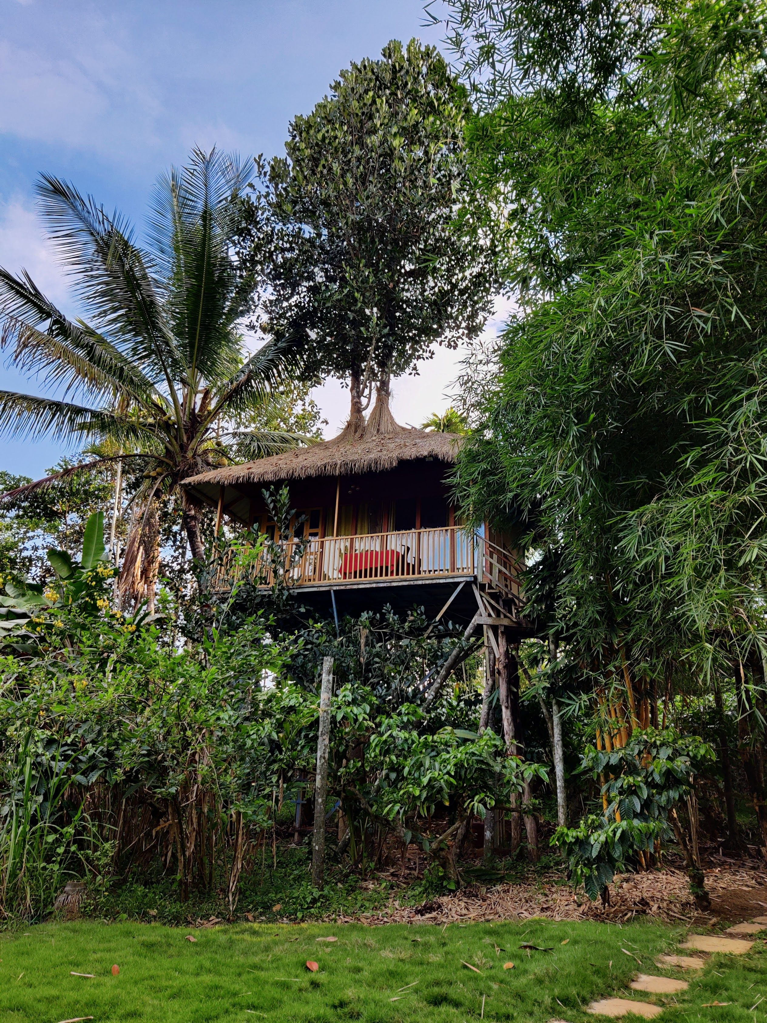
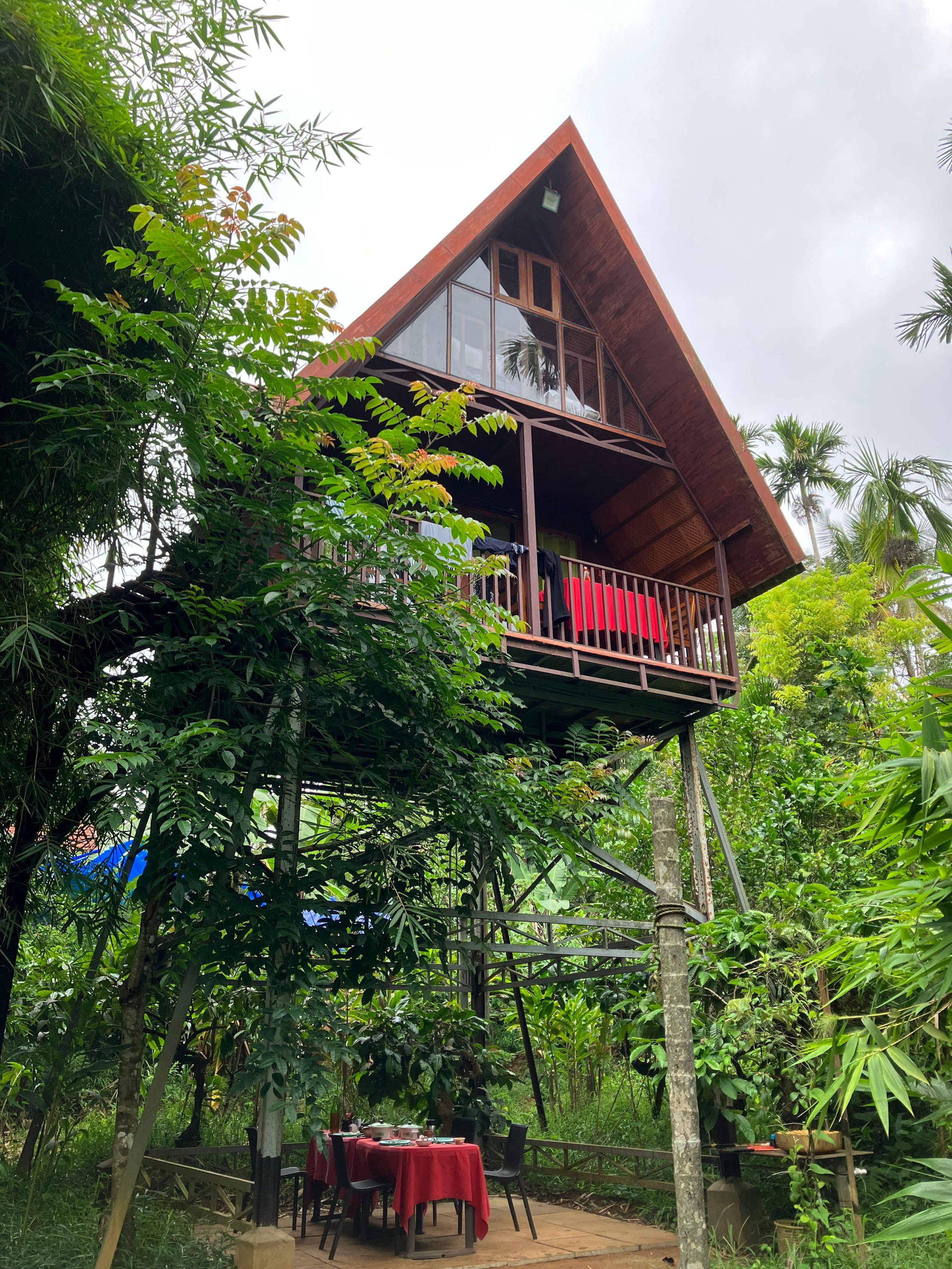
Because Vavulmala is an unsettled conservation zone, accommodation is located along the peripheral villages, plantation belts, and nearby towns of Wayanad and Kozhikode district. Staying in the surrounding foothills allows you to enjoy quiet nights close to nature while remaining within easy travelling distance of trailheads and sightseeing spots.
A selection of quiet campsites, authentic rural homestays, and plantation getaways can be booked through HireACamp. Opting for a stay hosted by locals gives travellers first-hand insight into the area's geography, home-cooked regional meals, and reliable guidance on how to explore the nearby hills responsibly.
Frequently asked questions
Where is Vavulmala located?
Vavulmala is the highest summit in the Camel's Hump or Vellarimala hill range, situated in the Western Ghats along the borders of Kozhikode, Wayanad, and Malappuram districts in Kerala.
Is permission required to trek Vavulmala?
Yes, because the peak falls within reserved forest territory, visitors must secure permission from the local Kerala Forest Department office and usually must be accompanied by authorized local guides.
How difficult is the trek to Vavulmala?
The trek to Vavulmala is physically demanding and considered one of the tougher hikes in Kerala, featuring steep elevation gains, river crossings, dense forest cover, and exposed ridges.
What is the best time of year to visit Vavulmala?
The best time to visit is between October and February, when monsoon rains have stopped, trails are relatively stable, and the mountain weather is cool and clear.
What are the nearest major transport hubs to Vavulmala?
The nearest international airport and major railway junction are in Kozhikode, located approximately eighty to one hundred kilometres away from the mountain base.
Where you'll be
Kerala · 10 stays nearby shown with prices
Stays near Vavulmala
Book a place to stay close by
More places near Vavulmala
Within 20 km
Built from 0 Instagram posts by 0 creators. Every tip links back to the post it came from, and where creators disagree we show both sides.






