
Burliyar
Destination in Tamil Nadu
Burliyar is a quiet village settlement nestled along the forested slopes of the Nilgiri Hills in Tamil Nadu, situated between the plains of Mettupalayam and the high ranges of Coonoor. It is well known for its temperate horticulture farms, spice gardens, and orchards that thrive in the transitional mountain microclimate. Travellers often visit Burliyar to escape urban crowds, walk through lush plantations, and enjoy scenic valley vistas on their ascent into the hills.
Getting there
By road
- From Coimbatore1 hr 30 min · 52 km
- From Mysuru4 hr 40 min · 159 km
- From Madurai5 hr 10 min · 258 km
- From Kochi5 hr 45 min · 240 km
By train, bus or air
- Gandhipuram Central Bus StationNearest bus stand1 hr 30 min · 54 km
- Aai Colony Coimbatore International AirportNearest airport1 hr 15 min · 53 km
Typical drive times without traffic. Places, distances and typical drive times from OLA Maps; notes from creators' Reels.
Itinerary for Burliyar and Surrounding Region
Burliyar sits along the Nilgiri foothills, providing road access down toward the Coimbatore plains and nearby scenic spots, theme parks, and the Western Ghats foothills.
Coimbatore Foothills and Heritage Day Trip
Best for travellers wanting to combine temple architecture, gardens, and regional culture
Day 1
Coimbatore Cultural Sights & Isha Foothills
morning
Patteeswarar TempleAbout 1 hr
Perur Patteeswarar Temple is situated about 9.6 km from central transit hubs.
midday
TNAU Botanical GardenAbout 1 hr · 4.7 km from the last stop
Located 4.2 km from Mangala International.
afternoon
DhyanalingaAbout 1 hr 15 min · 22 km from the last stop
A primary attraction at the Isha Foundation complex; plan time specifically for this space.
evening
AdiyogiAbout 1 hr 30 min · 900 m from the last stop
Attend the evening light show at the 112-foot Adiyogi Shiva statue.
- Needle Rock View Point is open daily between 7:00 AM and 5:00 PM, with adult entry tickets priced at ₹40 and a 10 to 15-minute trail walk.
- Siruvani water is reputed for being exceptionally sweet freshwater.
- Do not skip Dhyanalinga when touring the Isha Foundation grounds, as it is considered a core experiential feature of the complex.
- Visiting Kovai Kutralam falls requires walking a 2 to 3 km trail from the entry area.
Visit lengths are suggestions; distances are straight-line between stops.
About Burliyar
Written with AI from map data and general knowledge. Check prices and timings locally before you go.
Understanding Burliyar and its landscape
Burliyar sits on the eastern slopes of the Western Ghats, functioning as a natural threshold where the hot plains of the Coimbatore plateau begin to yield to the cool moisture of the upper Nilgiris. This intermediate elevation grants the area an unusual microclimate that is neither intensely tropical nor bitingly cold. Because of this unique position, the village and its surrounding estates receive balanced rainfall and maintain moderate warmth throughout the year.
The hillsides here are covered in dense vegetation, ranging from natural deciduous and evergreen forest tracts to terraced orchards. Walking along the trails around Burliyar reveals stands of areca palms, jackfruit, clove, nutmeg, cinnamon, and pepper vines clambering up native shade trees. Mountain streams run through rocky gullies below the road, and mist often rolls over the higher ridges during early mornings and late afternoons.
Things to do in and around Burliyar
The primary charm of Burliyar lies in unhurried outdoor exploration. Many visitors spend their time wandering the orchard lanes and village footpaths, learning about spice cultivation and sampling locally grown seasonal fruits. The tranquil setting makes it a rewarding location for birdwatching, as the varied canopy attracts hornbills, bulbuls, flycatchers, and sunbirds native to the mid-elevation Western Ghats.
Photography is another popular pursuit, especially given the steep slopes, dramatic bends of the hill road, and deep green ravines. For those who enjoy active walking, small trails branch away from the main road into the surrounding estates and foothills, providing quiet routes with views across the Bhavani basin below.
Read more
Places to visit near Burliyar
Because Burliyar is located along the primary ghat route ascending the Nilgiris, it serves as a practical base for exploring both the highlands and the plains. Just above the village on the rim of the plateau, dramatic viewpoints like Lamb's Rock and Dolphin's Nose offer expansive vistas over sheer drops, tea-covered slopes, and distant waterfalls descending into the valleys.
Further up into the higher Nilgiris, travellers can easily make day trips to Doddabetta Peak, the highest summit in the range, or venture onward to the calm waters of Pykara Lake. Closer to the foot of the hills near Mettupalayam, family entertainment can be found at Black Thunder Water Theme Park. Those interested in regional heritage and nature can explore the broad waters of BhavaniSagar Dam or journey into Coimbatore to visit the Gass Forest Museum and the TNAU Botanical Garden.
Best time to visit Burliyar
Burliyar can be visited throughout the year, but the post-monsoon and winter months from October to March offer the most comfortable weather. During this period, the humidity drops, daytime temperatures remain mild, and the atmosphere is clear, making outdoor walks and sightseeing exceptionally pleasant.
The summer months between April and June bring warmer daytime conditions, yet temperatures in Burliyar remain significantly more temperate than those on the adjoining plains. This makes it a popular stop for motorists seeking relief from urban heat. The monsoon season, typically from July through September, paints the entire valley in vivid shades of green and fills local waterways. However, heavy rains can sometimes cause road delays along the ghat section, so travellers during these months should stay updated on local weather and road advisories.
How to reach Burliyar
Burliyar is conveniently situated on the main mountain highway linking Mettupalayam with Coonoor and Ooty, making road transit straightforward. The nearest major transport hub is Coimbatore, situated approximately 52 km away, which translates to a drive of about 1 hour and 30 minutes in typical traffic. Coimbatore also hosts the closest major railway junction and commercial airport, with regular domestic flights and broad-gauge train connections.
For road travellers arriving from Karnataka, Mysuru is roughly 159 km away, requiring about 4 hours and 40 minutes of driving, while the trip from Bengaluru spans around 307 km and typically takes around 6 hours and 40 minutes. If you are travelling from Kerala, Kochi is located approximately 239 km away, taking about 5 hours and 50 minutes. Those approaching from southern Tamil Nadu can reach Burliyar from Madurai over a distance of roughly 258 km, which takes around 5 hours and 10 minutes. State-run buses and taxis frequently traverse the highway between Mettupalayam and Coonoor, stopping at Burliyar.
Where to stay in Burliyar
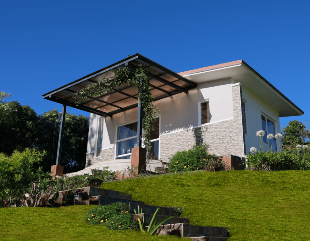
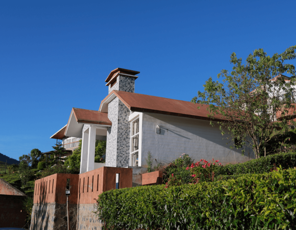
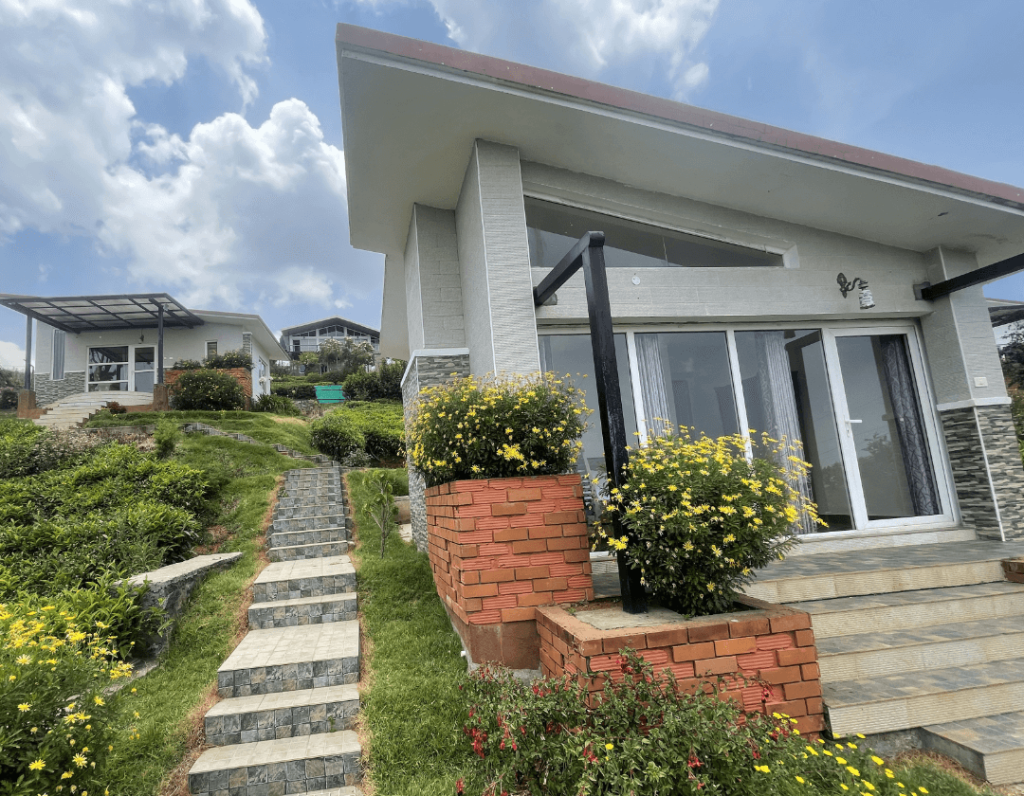
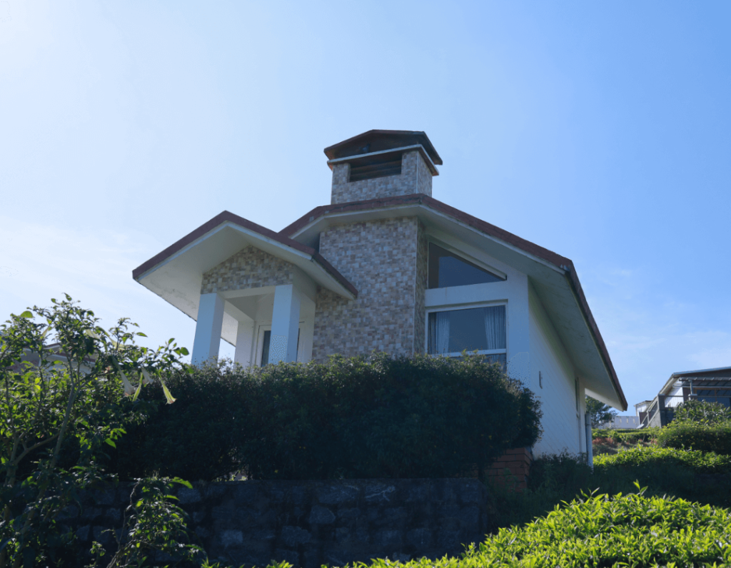
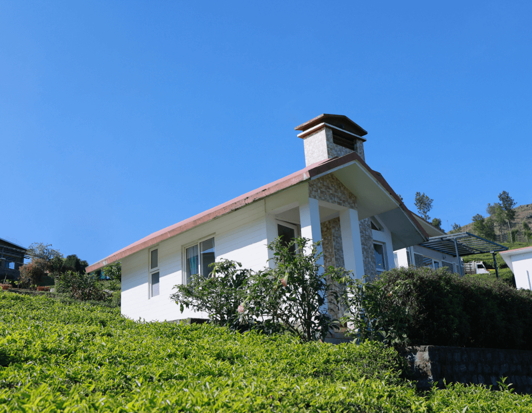
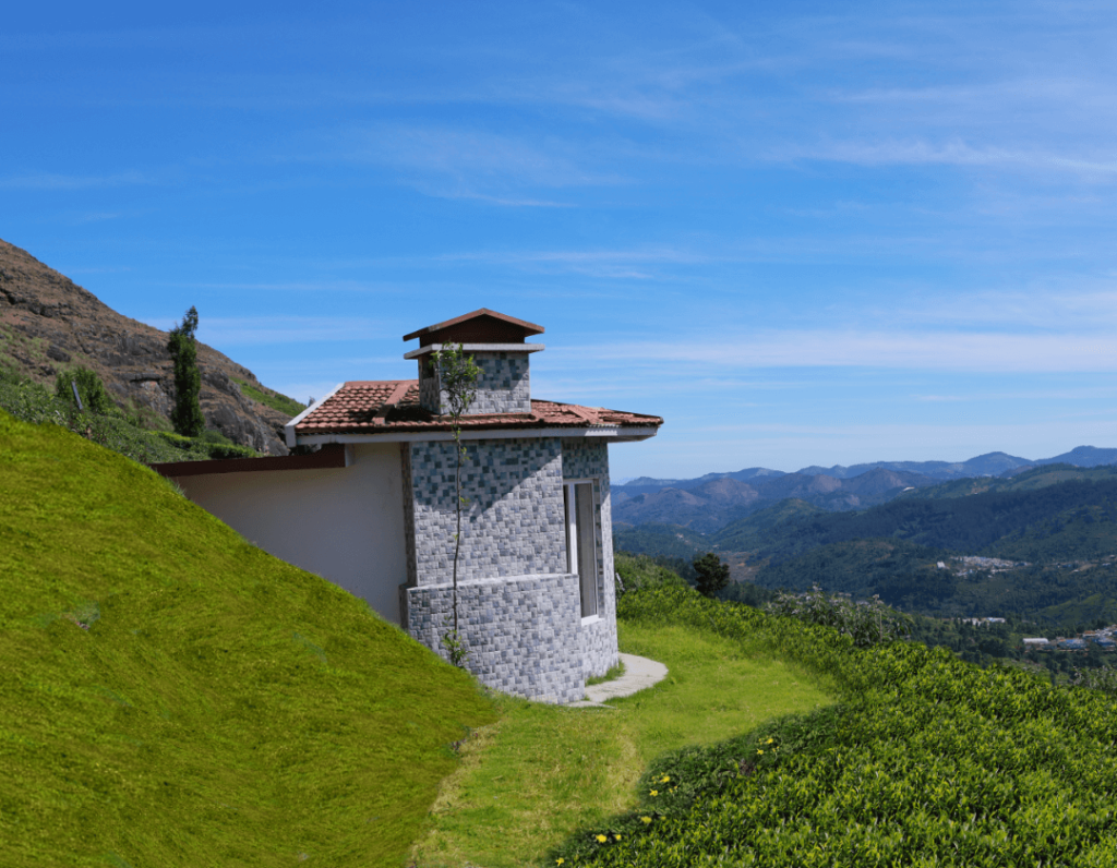
Accommodations around Burliyar are tailored toward travellers who prefer a peaceful natural backdrop over bustling commercial town centres. Staying directly on the hillside gives you immediate access to orchard views, cleaner mountain air, and relative seclusion compared to the busier hill stations further up the road.
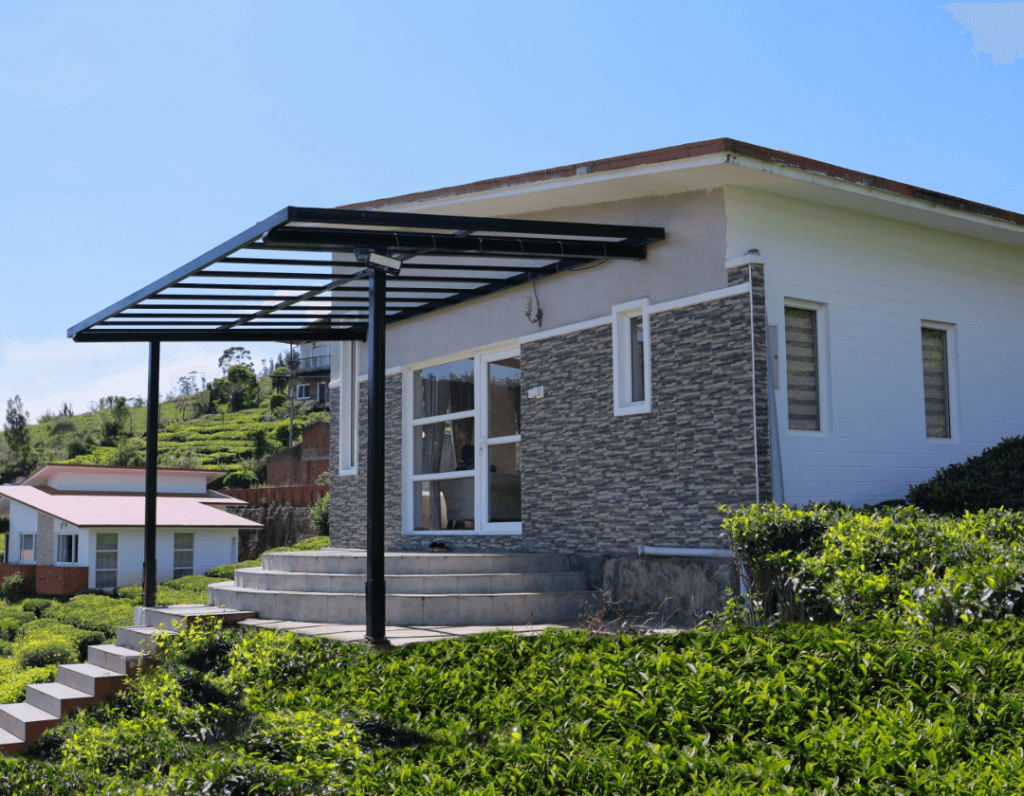
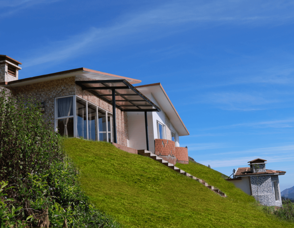
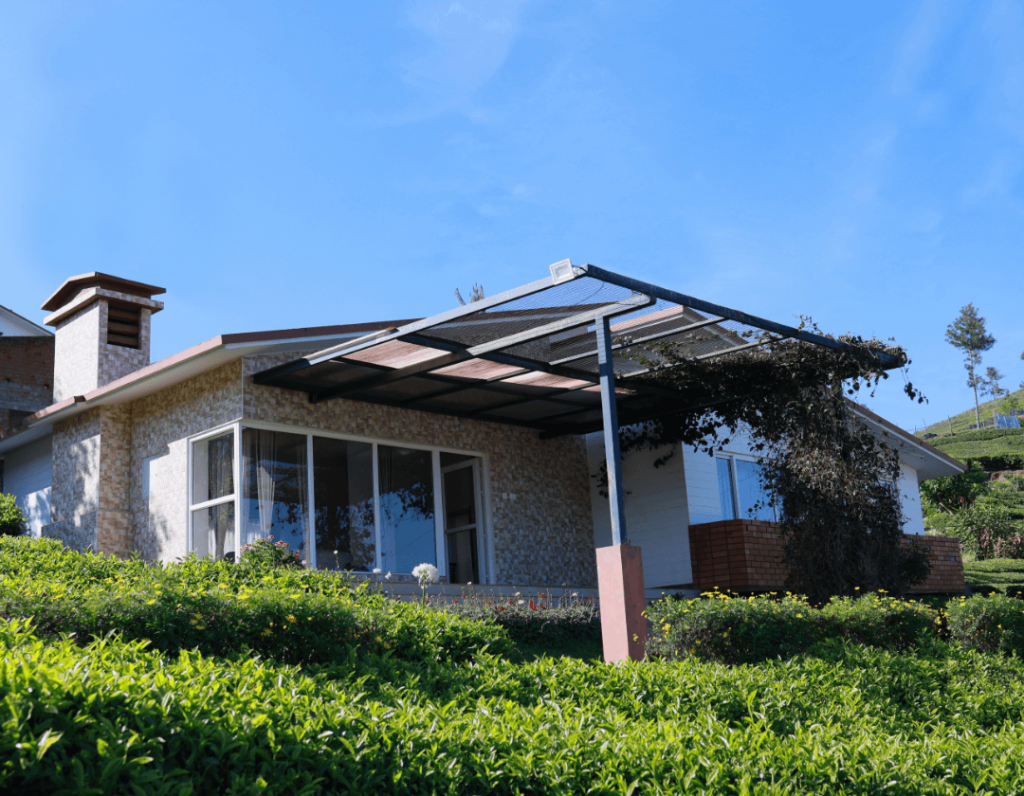
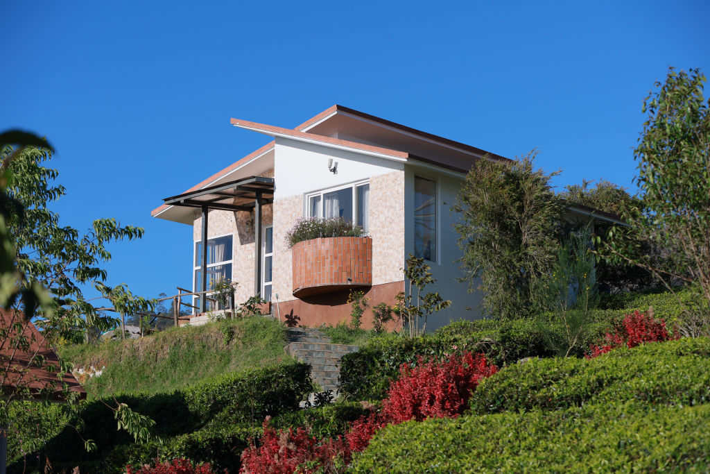
A selection of quiet campsites, nature retreats, and plantation homestays in and around Burliyar can be found on HireACamp. Booking in advance is recommended during long weekends, festival holidays, and the peak summer travel window.
Tips for your visit
Driving the ghat road leading to and from Burliyar requires attentive navigation. The road features steep gradients and sharp hairpins, so drivers should maintain moderate speeds, use appropriate gearing, and give right of way to ascending heavy vehicles.
Even though Burliyar is warmer than higher towns like Coonoor and Ooty, evenings can become cool and breezy, particularly during the winter months. Carrying a light jacket or sweater is advisable. In addition, wear sturdy footwear with good grip if you plan to walk through plantations or along dirt tracks, and be mindful of wildlife, as the surrounding forests are home to bonnet macaques and other native animals.
Frequently asked questions
What is Burliyar famous for?
Burliyar is widely recognized for its state horticulture farm, fertile spice plantations, and fruit orchards that produce crops like cloves, nutmeg, and jackfruit in the mid-elevation Nilgiri climate.
How far is Burliyar from Coimbatore?
Burliyar is located approximately 52 km from Coimbatore, and the drive typically takes around 1 hour and 30 minutes depending on road conditions and traffic.
Is Burliyar very cold like Ooty?
No, Burliyar sits at a lower altitude along the foothills and slopes, which gives it a milder and more temperate climate than higher hill stations such as Coonoor and Ooty.
Can I visit Burliyar during the monsoon season?
Yes, Burliyar is scenic and verdant during the monsoon, but visitors should drive cautiously and monitor local weather reports, as the ghat section can occasionally experience landslides or heavy runoff.
Where can I book stays around Burliyar?
You can find and book campsites, homestays, and outdoor getaways in and around Burliyar directly on HireACamp.
Where you'll be
10 stays nearby shown with prices
Stays near Burliyar
Book a place to stay close by
Things to do in Burliyar
48 places creators recommend within 30 km


Lists for this area
Ranked by how many creators recommend each place


Built from 0 Instagram posts by 0 creators. Every tip links back to the post it came from, and where creators disagree we show both sides.






