
Droog Fort
Fort near Burliyar, Tamil Nadu
2.3 km from Burliyar
The nearest town, for stays, food and fuel.
Droog Fort, also known locally as Bakasura Malai, is a historic ruined military outpost perched high on a cliff edge near Coonoor in the Nilgiris of Tamil Nadu. Travellers and hikers visit to trace the centuries-old military heritage once utilized by Tipu Sultan and to take in panoramic views of the surrounding tea estates, deep ravines, and the distant plains of Coimbatore. Accessible via a trek through rolling tea plantations, it offers an off-the-beaten-path outdoor adventure amidst mountain air and rich biodiversity.
Getting there
By road
- From BurliyarNearest town31 min · 20 km
- From Coimbatore2 hr 5 min · 75 km
- From Mysuru3 hr 50 min · 181 km
- From Bengaluru6 hr · 324 km
Typical drive times without traffic. Stations and airports from OLA Maps; distances and typical drive times from OpenStreetMap (© OpenStreetMap contributors); notes from creators' Reels.
About Droog Fort
Written with AI from map data and general knowledge. Check prices and timings locally before you go.
About Droog Fort
Perched on the rugged ridgelines of the Nilgiris, Droog Fort stands as a quiet testament to the turbulent military history of southern India. The fort is traditionally associated with the legend of the demon Bakasura, giving it the local moniker Bakasura Malai. In later recorded history, the site served as an indispensable strategic military outpost for Tipu Sultan during the 18th century, serving to keep watch over potential troop movements ascending from the Coimbatore plains toward the Nilgiri plateau.
Today, much of the original fortification lies in weathered ruins, with remnant stone ramparts, watchpoints, and crumbling masonry standing against the elements. The lack of heavy modern development preserves the raw, atmospheric character of the site. Visitors who make the journey are greeted by open skies, steep drops, and sweeping vistas that stretch across emerald tea estates, forested ridges, and misty gorges.
Trekking to the Fort
Reaching Droog Fort requires an invigorating trek, making it a favorite excursion for outdoor enthusiasts visiting Coonoor. The trail typically winds through sprawling private tea estates before transitioning into a rocky, unpaved woodland path that climbs steadily up the ridge. Because vehicles cannot drive all the way to the ruins, visitors must traverse the final stretch on foot.
The walk exposes hikers to changing mountain scenery, starting under the manicured symmetry of tea bushes shaded by silver oak trees and gradually entering patches of montane scrub and shola-fringed paths. The gradient turns moderately steep toward the top, demanding sturdy footing and a reasonable level of physical stamina. Hikers are rewarded near the summit with crisp mountain breezes and sweeping vantage points overlooking the plains below.
Read more
Landscape and Wildlife
The terrain surrounding Droog Fort reflects the classic ecological character of the southern Nilgiri hills. Deep ravines flank the rocky outcrop, with dense thickets of evergreen vegetation clinging to the slopes below the plateau. The surrounding valleys channel shifting layers of fog and cloud, creating dramatic changes in visibility throughout the day.
Because the area experiences relatively light foot traffic compared to mainstream tourist viewpoints, it supports an active population of regional birdlife and mammals. Birdwatchers can often spot endemic species such as the Nilgiri pipit, crested serpent eagles circling the thermals, and bulbuls flitting among the shrubs. Indian gaurs, macaques, and langurs are frequently active in the surrounding plantation edges and forested pockets. Visitors should always observe wildlife from a respectful distance and avoid leaving food scraps along the trail.
Best Time to Visit Droog Fort
The post-monsoon and winter months, running from October to March, offer the most comfortable weather for trekking to Droog Fort. During this period, the Nilgiri atmosphere is crisp and cool, rainfall is minimal, and the cloud cover clears sufficiently to provide unbroken views across the southern valleys and plains.
The summer months between April and June remain pleasant compared to the heat of the lower plains, making Coonoor an attractive retreat. However, midday sun on the exposed sections of the trek can be warm, so an early morning start is strongly recommended. The monsoon season from July to September brings heavy showers, dense mists, and slippery trails that can make walking difficult and obscure the panoramic viewpoints entirely.
How to Reach Droog Fort
Droog Fort is situated near the hill town of Coonoor in the Nilgiris district of Tamil Nadu. The town of Coonoor serves as the primary base for exploring the area. It is well connected by road to major transport hubs such as Coimbatore, which hosts the nearest functional airport and broad-gauge railway junction.
From Coonoor, travellers can hire a local taxi or drive through plantation roads toward the designated trail access points, often starting near NonSuch Estate. Since roads leading into the estates are narrow and winding, drivers must proceed with caution. The remaining distance to the fort must be covered on foot along marked footpaths. Before heading out, it is wise to consult with locals in Coonoor regarding current track conditions and access routes.
Places to Visit Nearby
A trip to Droog Fort can easily be combined with other prominent sights in the Coonoor and Ooty region. Situated within easy driving reach are iconic Nilgiri viewpoints such as Lamb's Rock and Dolphin's Nose, both offering sweeping perspectives over the Catherine Falls gorge and undulating valley landscapes.
Further along the mountain highway lies Doddabetta Peak, the highest summit in the Nilgiris, which provides a high-altitude panoramic view of the entire mountain range. Travellers heading down toward the foothills can visit attractions like Black Thunder Water Theme Park or BhavaniSagar Dam, while cultural travellers heading toward Coimbatore can explore the Marudhamalai Temple or the Gass Forest Museum. Heading deeper into the hills toward Ooty opens up access to the calm waters of Pykara Lake and the surrounding pine woodlands.
Tips for Your Visit
Because the trail involves rocky, uneven ground and occasional steep slopes, wearing sturdy hiking shoes with reliable grip is essential. There are no commercial stalls, water points, or shops located at the fort ruins, so visitors should carry sufficient drinking water and light snacks for the duration of the hike.
Weather conditions in the Nilgiris can shift rapidly. A bright, sunny morning can quickly give way to sudden mist, high winds, or passing drizzle, making a lightweight windbreaker or rain jacket a practical addition to your daypack. Keep to designated footpaths to prevent erosion and avoid encroaching on private tea plantation land. Finally, practice leave-no-trace ethics by packing out all wrappers and plastic bottles to protect the mountain environment.
Where to Stay Near Droog Fort
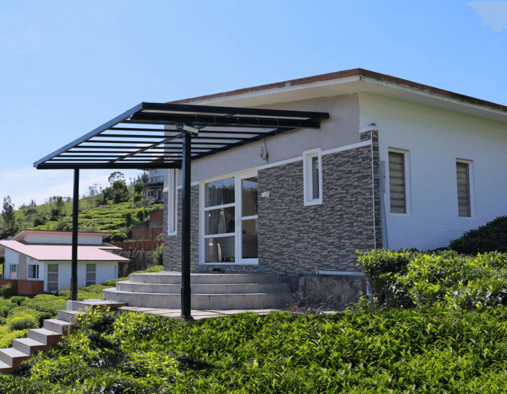
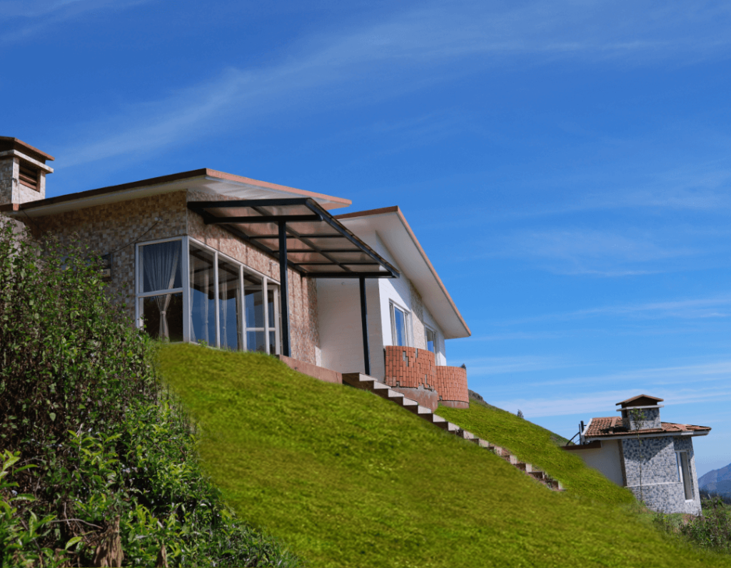
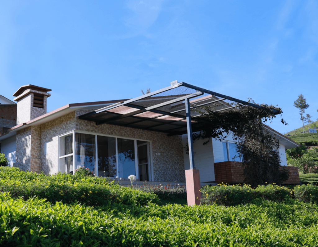
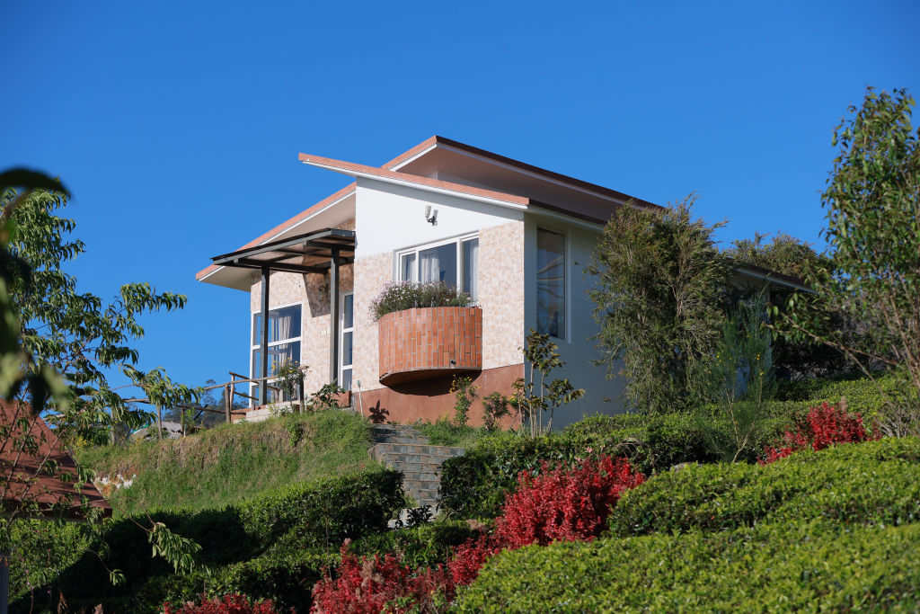
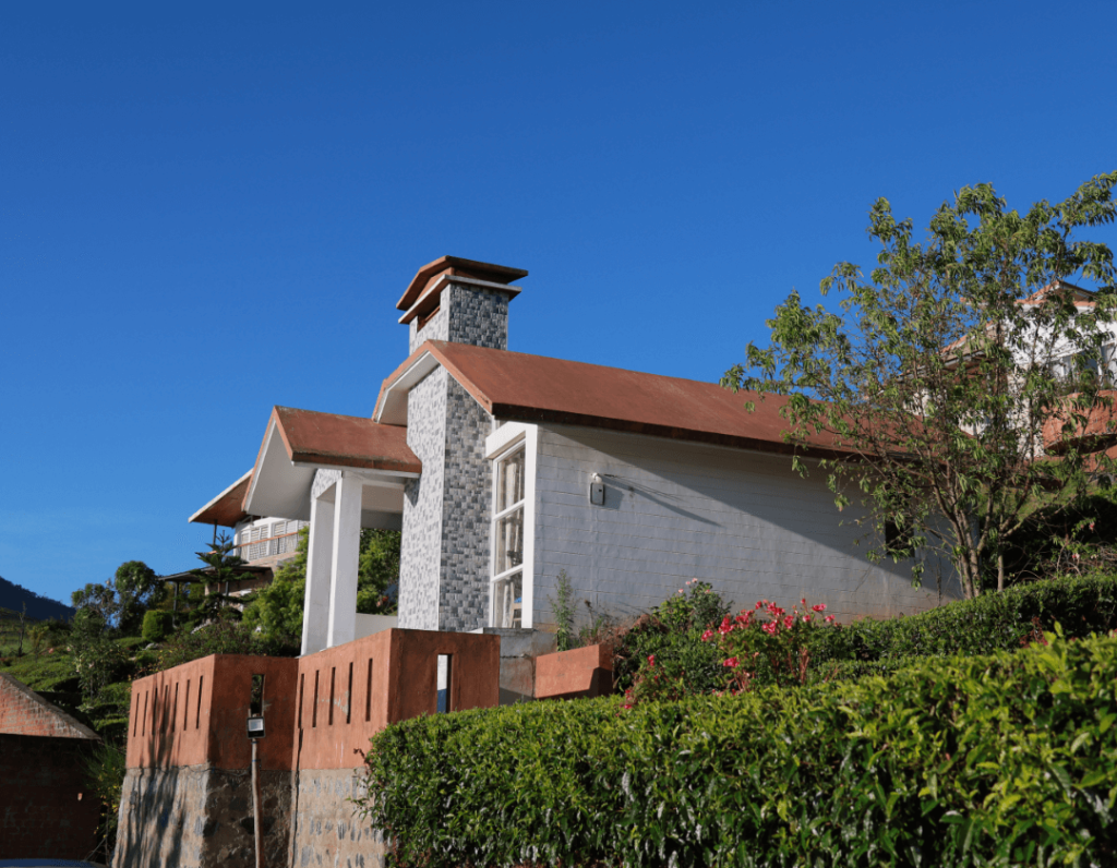
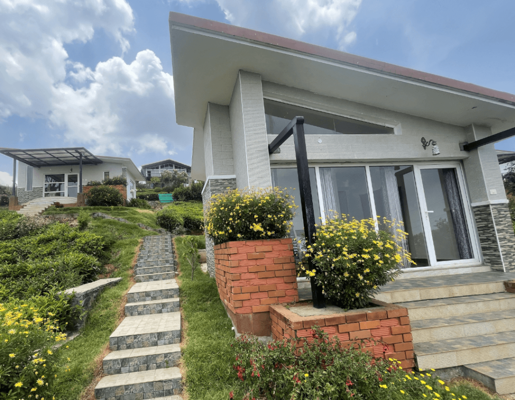
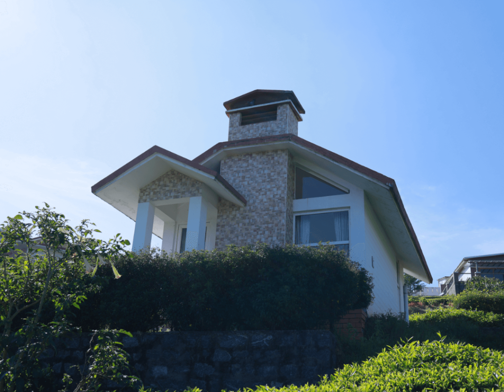
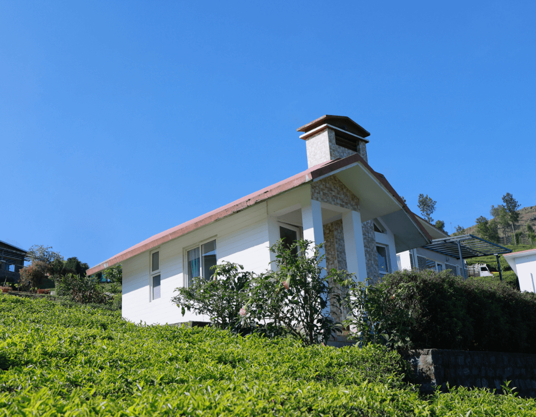
Coonoor and the surrounding plantation valleys offer a peaceful alternative to busier hill stations, with numerous accommodation choices spread across green slopes. Travellers looking to immerse themselves in nature can find nature camps, heritage colonial bungalows, and welcoming family-run homestays tucked into tea estates through HireACamp.
Staying close to Coonoor provides easy access to Droog Fort and allows you to begin your hike in the cool hours of the early morning. Whether you prefer a quiet room overlooking mist-shrouded valleys or an outdoor campsite beneath starry mountain skies, you can browse and reserve verified stays across the Nilgiris on HireACamp.
Frequently asked questions
Can I drive directly to Droog Fort?
No, vehicles can only go as far as the access roads within the surrounding tea estates. The final leg of the journey must be completed on foot via a walking trail.
How difficult is the trek to Droog Fort?
The trek is considered moderately challenging. It involves walking through plantation tracks and a steady uphill climb over uneven, rocky paths that require a basic level of fitness.
Are there food and water facilities at Droog Fort?
There are no shops, food stalls, or potable water sources at the fort. Travellers must carry their own drinking water, snacks, and any needed supplies from Coonoor.
What is the historical significance of Droog Fort?
Also known as Bakasura Malai, the fort served as a strategic military outpost for Tipu Sultan in the 18th century to monitor traffic and military movements from the plains.
Do I need any permits to visit Droog Fort?
Because access routes may pass through private tea estates or forest boundaries, access rules can vary. It is best to check locally in Coonoor before setting out on your hike.
Where you'll be
Coonoor · 10 stays nearby shown with prices
Stays near Droog Fort
Book a place to stay close by

More places near Droog Fort
Within 20 km


Lists for this area
Ranked by how many creators recommend each place


Built from 0 Instagram posts by 0 creators. Every tip links back to the post it came from, and where creators disagree we show both sides.






