
Hatu Peak
Peak near Tikar, Himachal Pradesh
5.5 km from Tikar
The nearest town, for stays, food and fuel.
Hatu Peak rises above the apple-growing town of Narkanda in Himachal Pradesh, standing as one of the highest vantage points in the Shimla region. Surrounded by dense canopies of deodar, oak, and spruce, the summit features panoramic views of the Greater Himalayan ranges and houses the ancient Hatu Mata Temple. Travellers make the journey to walk quiet forest trails, take in alpine sunrises, and experience cool mountain breezes far above the bustling valleys.
Getting there
By road
- From TikarNearest town1 hr 10 min · 45 km
- From Chandigarh3 hr 20 min · 156 km
- From Ludhiana5 hr 20 min · 258 km
- From Dehradun5 hr 30 min · 273 km
Typical drive times without traffic. Stations and airports from OLA Maps; distances and typical drive times from OpenStreetMap (© OpenStreetMap contributors); notes from creators' Reels.
About Hatu Peak
Written with AI from map data and general knowledge. Check prices and timings locally before you go.
About Hatu Peak
Hatu Peak stands at an elevation of roughly 3,400 metres, commanding the ridge lines that separate the Sutlej valley from the Giri valley near Narkanda. As the second-highest point in the Shimla district, it serves as a geographic anchor for the region, offering an uninterrupted panorama that sweeps from the Shrikhand Mahadev range in Kullu to the jagged peaks of Kinnaur.
The summit is culturally significant because of the Hatu Mata Temple, a shrine dedicated to the goddess Mandodari, wife of Ravana in Hindu folklore, though locally worshipped as an incarnation of Kali. The temple features traditional Himachali wood carvings and stone architecture, perched right on the edge of the open mountain ridge. The surrounding landscape transitions from apple and cherry orchards in the lower valleys to old-growth temperate forests as you climb.
The Journey to the Summit
Reaching Hatu Peak is an experience that caters to both casual motorists and avid walkers. A single-lane paved road winds up from Narkanda through thick evergreen woodland, climbing steadily over an approximate distance of eight kilometres. The road is steep and narrow, requiring careful navigation around hairpin turns where the forest occasionally parts to reveal deep valley drop-offs.
For trekkers, the walking trail follows a similar direction, cutting across forested paths beneath towering cedars and mixed conifers. Walking to the summit allows you to experience the gradual shift in forest flora and observe birdlife that flourishes in these quiet canopies. The path is well-defined and presents a moderate, continuous ascent that takes around three to four hours for most hikers, rewarding the effort with sweeping views as the trees thin out near the top.
Read more
Best time to visit Hatu Peak
The climate at Hatu Peak changes significantly through the year, offering distinct experiences depending on the season you choose to visit. Spring and summer, stretching from April to June, bring clear daylight, pleasant daytime temperatures, and a burst of forest blooms. This is an ideal window for hiking and panoramic sightseeing, as the snow recedes from the trail and valley roads remain clear.
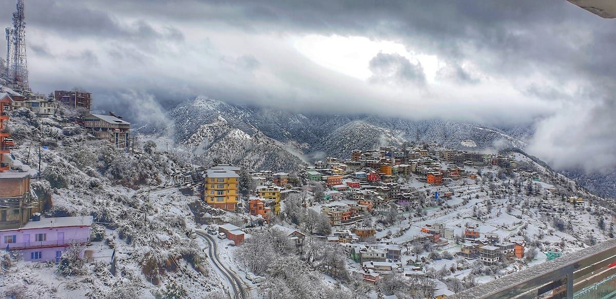
Autumn, from September through November, offers some of the crispest skies and clearest mountain vistas of the year. Following the monsoon rains, the atmosphere is washed clean, providing sharp views of the snow-clad Himalayan peaks on the horizon. Winter transforms Hatu Peak into a snowbound landscape between late December and March. During this period, heavy snow regularly blankets the upper slopes, closing the vehicular track to the summit and turning the area into a destination for experienced winter hikers seeking deep powder and alpine silence.
Things to do at Hatu Peak
The primary draw of Hatu Peak is taking in the unobstructed 360-degree vistas. Early morning visits are particularly memorable, as the rising sun illuminates the snowfields of Kinnaur and the distant ranges in soft morning light. Sitting along the grassy meadows near the ridge provides an ideal setting for quiet reflection and outdoor photography.
Visitors also take time to explore the Hatu Mata Temple premises, admiring the detailed wood craftsmanship that adorns the shrine. A short walk beyond the temple leads to a unique rock formation known locally as 'Hatu Ki Dhar' or the 'Panda's Hearth', associated with legends from the Mahabharata. Downhill from the peak, travellers can spend afternoons walking through the apple orchards around Narkanda or exploring quiet forest paths that branch into the surrounding hills.
Places to visit around Narkanda
Narkanda serves as an excellent base for broader explorations into the upper Shimla hills. Down in the valley, the slopes are lined with sprawling apple orchards and small farming settlements that showcase traditional rural Himachali life. St. Mary's Church in the nearby village of Kotgarh, built in the nineteenth century, provides a glimpse into the colonial history and horticulture heritage that transformed these hills.
For those willing to venture further along mountain roads, Jalori Pass lies to the north across the Sutlej basin, offering rugged high-altitude terrain and trekking routes to high mountain lakes. Closer to the Shimla side, the Shimla Water Catchment Wildlife Sanctuary and high ridge viewpoints around Kufri provide opportunities for wildlife observation and nature photography amidst thick Himalayan forests.
How to reach Hatu Peak
Hatu Peak is reached via the town of Narkanda, which is situated along National Highway 5. Narkanda is located approximately sixty-five kilometres northeast of Shimla, making it accessible by car, shared taxi, or regular state transport buses heading toward Rampur and Kinnaur. The drive from Shimla generally takes around two to three hours along scenic mountain roads.
The nearest railway link is the narrow-gauge heritage line at Shimla, while the nearest broad-gauge railhead and major airport are located in Chandigarh, around one hundred and seventy kilometres away. Once in Narkanda, travellers can either hike the forest trail or hire a local mountain-capable vehicle to navigate the narrow, steep eight-kilometre road leading directly up to the summit.
Tips for your visit
The road connecting Narkanda to Hatu Peak is single-lane and steep with limited passing points. If you choose to drive, proceed slowly, sound your horn at blind turns, and be prepared to yield to descending vehicles. During the winter and early spring months, patches of ice and hard-packed snow make the route impassable for standard vehicles, requiring travellers to park lower down and hike up.
Even in the height of summer, winds across the exposed summit ridge can be brisk, so carrying a warm fleece or windproof jacket is recommended. Sturdy walking shoes with good tread are essential whether you hike the full trail or just explore the rocky paths around the temple. Summit facilities are minimal, so carry adequate water and snacks for your visit, and ensure you bring all personal trash back down to Narkanda to protect the sensitive mountain environment.
Where to stay near Hatu Peak
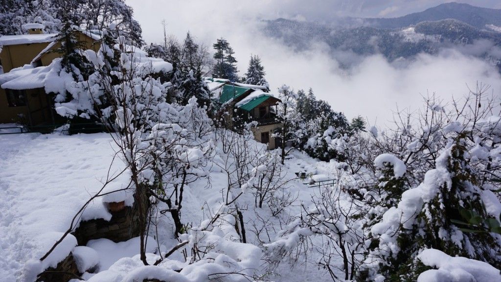
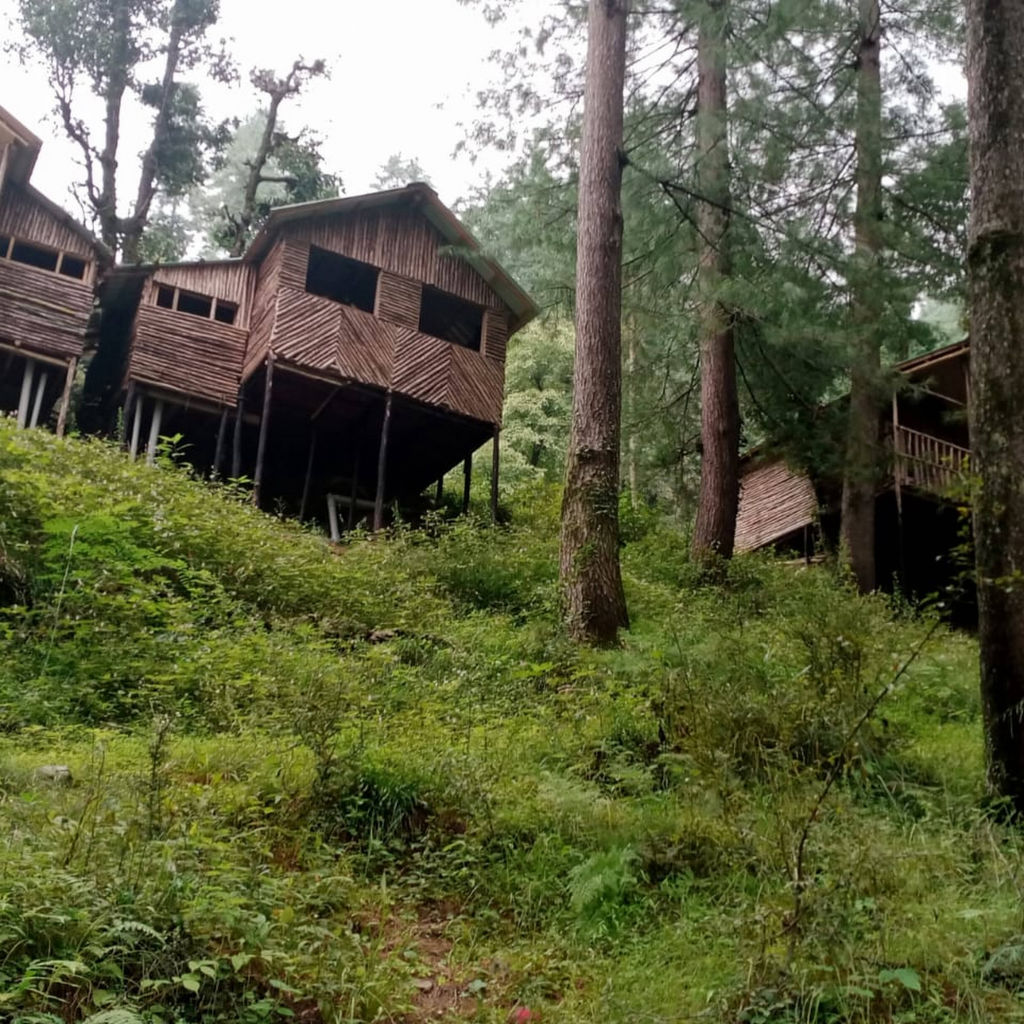
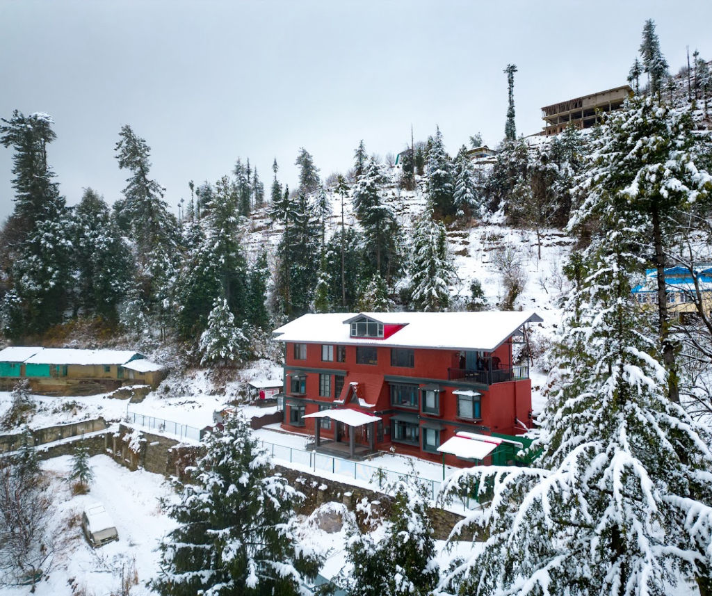
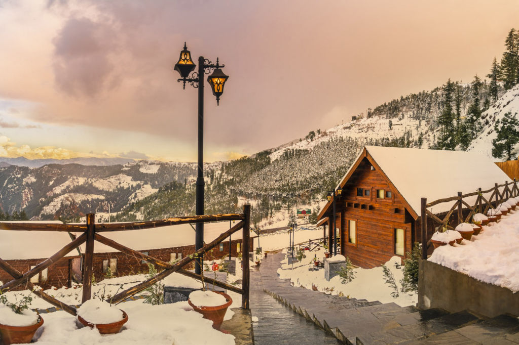
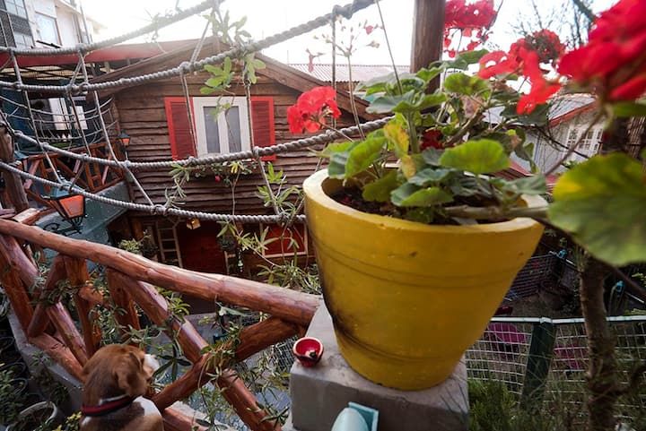
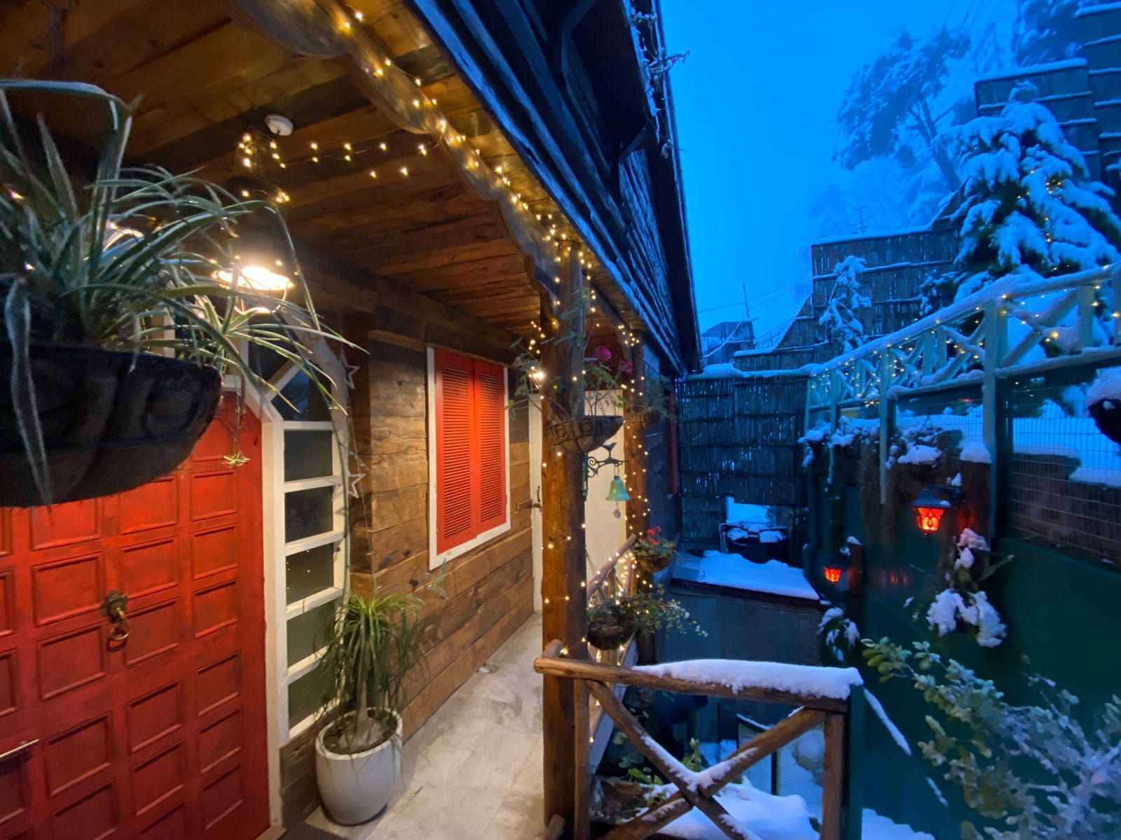
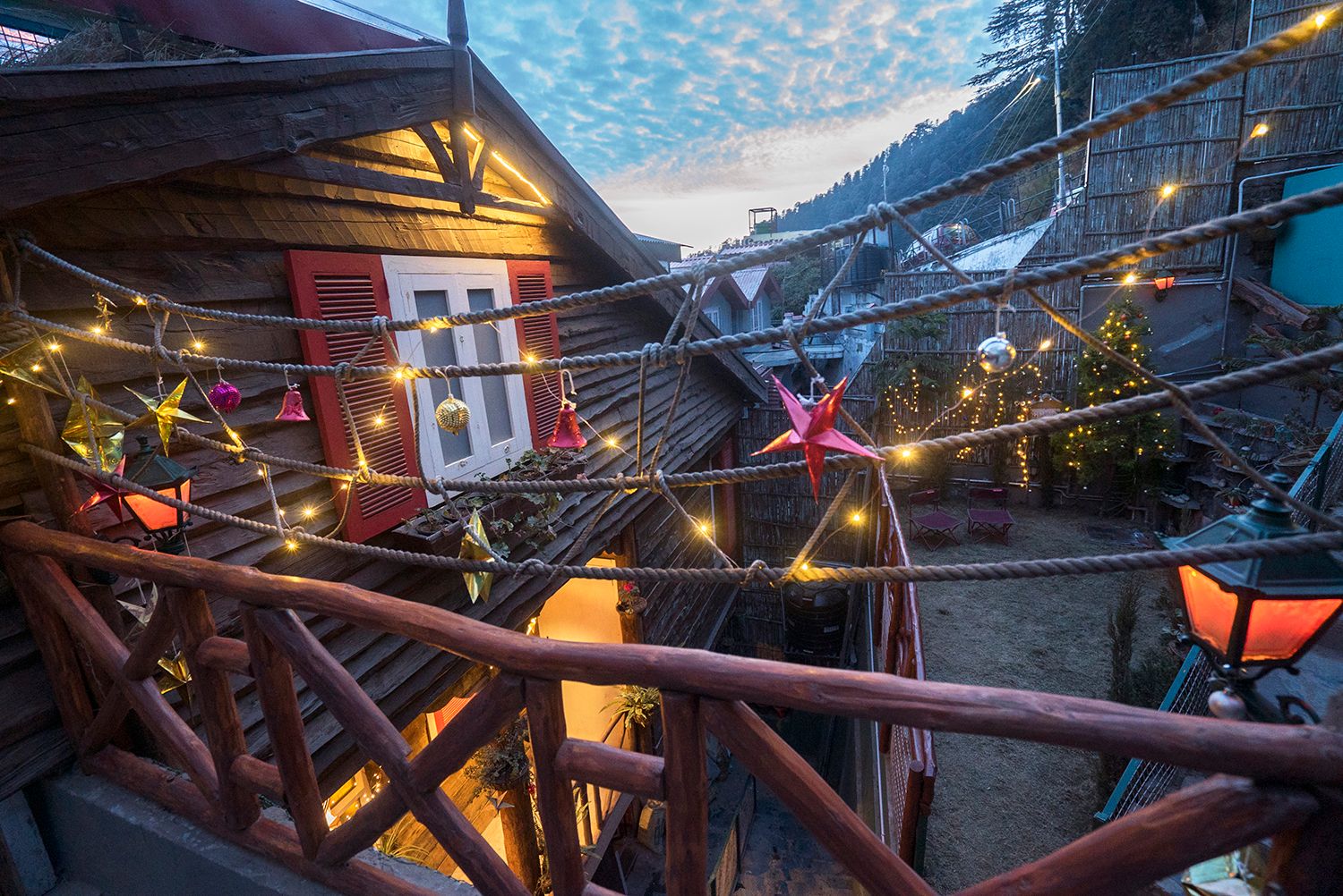
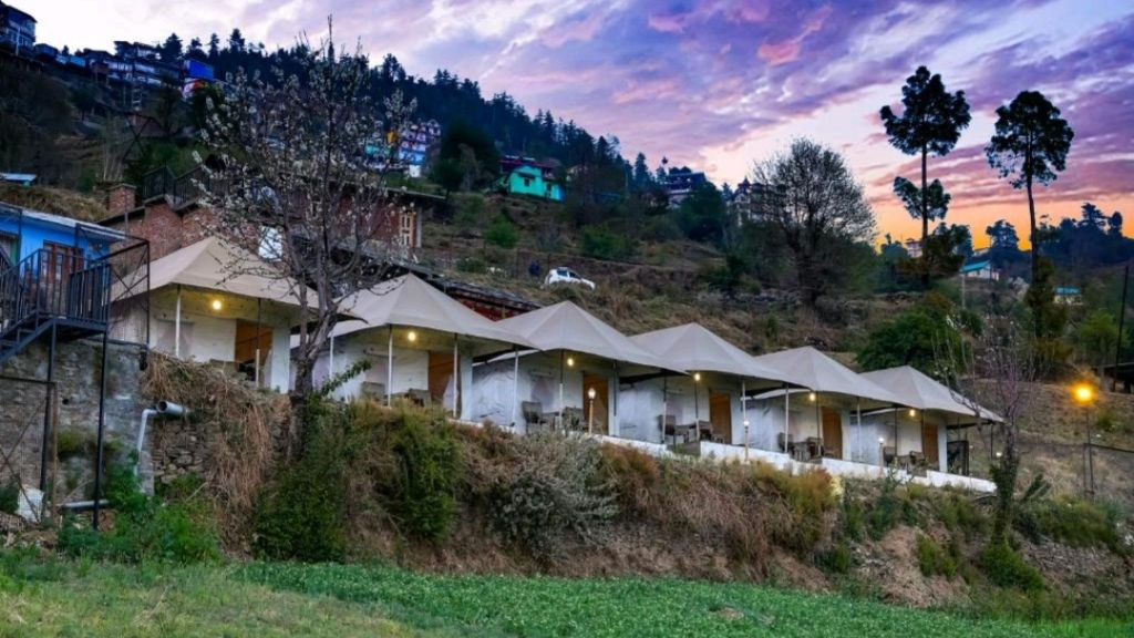
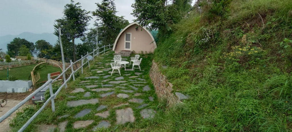
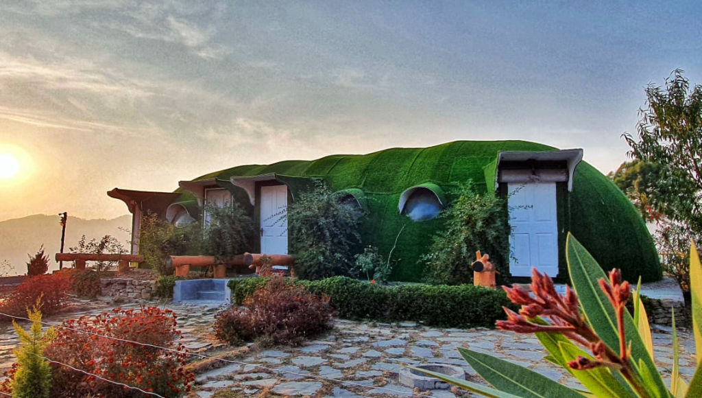
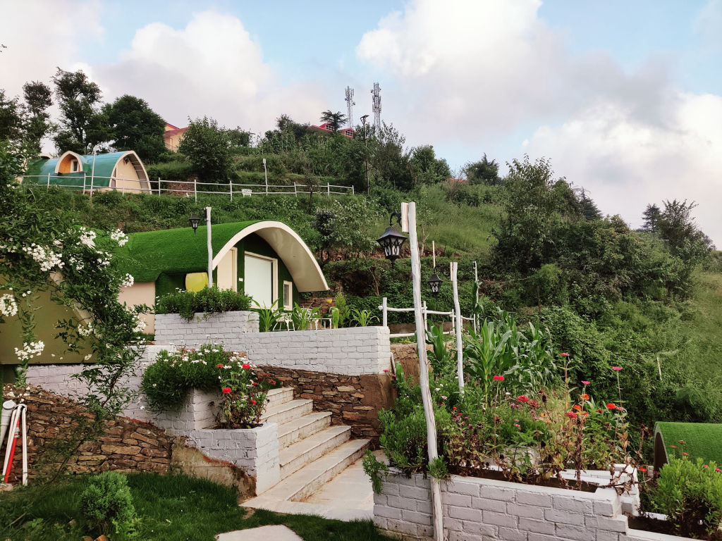
Narkanda and the surrounding valleys offer comfortable bases for travellers visiting Hatu Peak. Accommodation options range from traditional village homestays nestled within apple orchards to scenic campsites perched on quiet hilltops. Staying in or near Narkanda allows you to set out early for the summit before midday clouds gather. You can discover and book verified homestays, nature retreats, and outdoor camps across the Narkanda and Shimla regions on HireACamp.
Frequently asked questions
Can I drive a car all the way to Hatu Peak?
Yes, a paved but narrow single-lane road runs from Narkanda to the summit. It has steep sections and tight curves, so it requires confident mountain driving skills and may be closed by snow during winter.
How long does the trek to Hatu Peak take?
The trek from Narkanda covers roughly seven to eight kilometres through deodar forests and typically takes around three to four hours of steady uphill walking for an average hiker.
Is Hatu Peak accessible during winter?
Hatu Peak experiences heavy snowfall between late December and March. While the road is often closed to regular vehicular traffic during these months, experienced hikers equipped with winter gear can still trek up to the snow-covered ridge.
What is the Hatu Mata Temple?
The Hatu Mata Temple is a hilltop wooden shrine at the peak dedicated to Mandodari, locally revered as a form of the goddess Kali, known for its intricate Himachali wood carvings and cultural importance.
What should I carry when visiting Hatu Peak?
Carry warm clothing or a windbreaker, comfortable walking shoes, drinking water, and sun protection, as the summit is exposed to brisk mountain winds and strong high-altitude sunlight.
Where you'll be
Hatu · 12 stays nearby shown with prices
Stays near Hatu Peak
Book a place to stay close by
More places near Hatu Peak
Within 20 km


Lists for this area
Ranked by how many creators recommend each place

Built from 0 Instagram posts by 0 creators. Every tip links back to the post it came from, and where creators disagree we show both sides.






