
Irshalgad
Trek near Machiprabal, Maharashtra
5.5 km from Machiprabal
The nearest town, for stays, food and fuel.
Irshalgad is a prominent fortress pinnacle situated in the Sahyadri range near Khalapur in Maharashtra. Rising dramatically between Panvel and Matheran, it historically served as a strategic watchtower over regional trade routes. Trekkers and nature lovers visit to navigate its scenic ridge trails, explore its natural rock needle-hole formation, and take in wide views of the surrounding Western Ghats.
Getting there
By road
- From MachiprabalNearest town1 hr 10 min · 20 km
- From Mumbai 1 hr 55 min · 65 km
- From Pune2 hr 35 min · 98 km
- From Nashik4 hr 40 min · 241 km
Typical drive times without traffic. Stations and airports from OLA Maps; distances and typical drive times from OpenStreetMap (© OpenStreetMap contributors); notes from creators' Reels.
About Irshalgad
Written with AI from map data and general knowledge. Check prices and timings locally before you go.
Landscape and History of Irshalgad
Irshalgad stands as an imposing rock pinnacle in the northern Sahyadris, positioned between Karjat, Panvel, and the Matheran ridge. Unlike sprawling residential forts in Maharashtra, Irshalgad functioned primarily as a military watchtower. From its sheer vantage point, lookout forces maintained continuous surveillance over the ancient trade paths, mountain passes, and river valleys connecting the Konkan coastal plains to the higher Deccan plateau.
The geological formation of Irshalgad is marked by dark basalt cliffs, dry deciduous tree cover along lower slopes, and exposed ridgelines. One of the fort's most distinctive natural landmarks is a wind-carved aperture in the rock wall, known locally as a nedhe. Hand-hewn water cisterns and small rock shrines carved directly into the basalt rock face serve as quiet reminders of the outpost's past strategic utility.
The Trekking Trail at Irshalgad
The trek to Irshalgad is generally categorized as moderate in difficulty, offering a varied path that tests stamina and balance. The trail starts on gentle ground near the base settlement, ascending through forest paths before breaking out onto an open, rolling grassy shoulder. As hikers gain elevation, the gradient steepens, with loose dirt and scree requiring steady foot placement.
After reaching an intermediate plateau that overlooks the surrounding valleys and the waters of Morbe Dam, the trail takes on a steeper character toward the base of the pinnacle. The final stretch consists of rock-cut stairs, narrow traverses, and sections requiring basic scrambling along exposed rock ledges. While the natural rock hole or nedhe is accessible to confident hikers taking deliberate care, the vertical pinnacle summit should only be attempted with proper technical rock-climbing equipment and trained guides.
Read more
Best Time to Visit Irshalgad
The most favorable time to plan a trek to Irshalgad is between October and February. The winter months bring clear skies, pleasant daytime breezes, and cooler mornings, making the exposed climbs across the ridges much more comfortable. Visibility across neighboring peaks such as Prabalgad and Kalavantin Durg is at its clearest during this period.
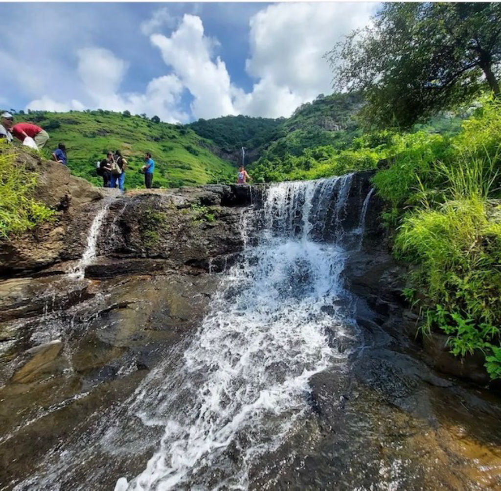
The monsoon season from June to September blankets the hill in vibrant shades of green and feeds seasonal waterfalls along the approach roads. However, heavy rains make the trail slick with mud, and the rock steps near the upper reaches become dangerously slippery. Summer months from March to May are characterized by intense heat and dry conditions, and because the upper sections of the trail offer little shade, daytime trekking during this period can quickly lead to exhaustion.
How to Reach Irshalgad
Irshalgad is located in the Khalapur region of Raigad district and is well connected to Mumbai, Navi Mumbai, and Pune. The closest major suburban railheads are Panvel and Karjat, while Chowk serves as a smaller nearby stop. From Karjat or Panvel, travellers can hire auto-rickshaws, board state transport buses, or take shared vehicles heading toward Chowk to reach the base village trailheads.
For those travelling by car or motorcycle, the route follows the Mumbai-Pune Expressway or the Old Mumbai-Pune Highway (NH 48) toward Khalapur and Chowk, turning off onto rural connecting roads leading toward the mountain. Driving from Navi Mumbai generally takes around an hour to an hour and a half under typical traffic conditions, while the drive from Pune takes approximately two to two-and-a-half hours. Always check local road conditions and verify parking arrangements at the base before setting out.
Trekking Tips and Safety Advice
A safe journey up Irshalgad requires sensible planning, as there are no shops or reliable facilities on the mountain itself. Carry at least two to three litres of drinking water per person, along with energy snacks and electrolyte packets. Natural water tanks found along the fort rock faces are untreated and should not be used for drinking.
Sturdy footwear with strong tread is essential to handle loose pebbles on the ascent and smooth rock surfaces on the upper section. Carry a lightweight backpack, a basic first-aid kit, and protection against the sun such as a hat and sunscreen. Start the hike early in the morning to beat the heat, and begin descending well before twilight to ensure you do not have to negotiate the steep, rocky ledges in the dark.
Places to Visit Near Irshalgad
A visit to Irshalgad places travellers close to several natural and historical landmarks in the northern Sahyadri range. Just five kilometres away across the valley sits Prabalgad Fort, known for its extensive summit plateau and rich Maratha history. Further up into the Ghats, approximately twenty-five kilometres away, is the hill station of Khandala, celebrated for its valley views and cooler climate.
Travellers interested in exploring further can head toward the Lonavala and Karla region, located within twenty-five to thirty-five kilometres. Notable sites there include the historic Lohagad Fort, the ancient Buddhist Karla Caves, Lonavala Lake, and the seasonal Kataldhar waterfall. These nearby attractions make the Khalapur belt a versatile base for multi-day outdoor trips.
Where to Stay Near Irshalgad
Accommodations near Irshalgad cater primarily to outdoor enthusiasts and weekend travellers from nearby cities. The immediate base settlements have limited lodging, so most hikers choose to stay in the broader Karjat, Panvel, or Khalapur areas.
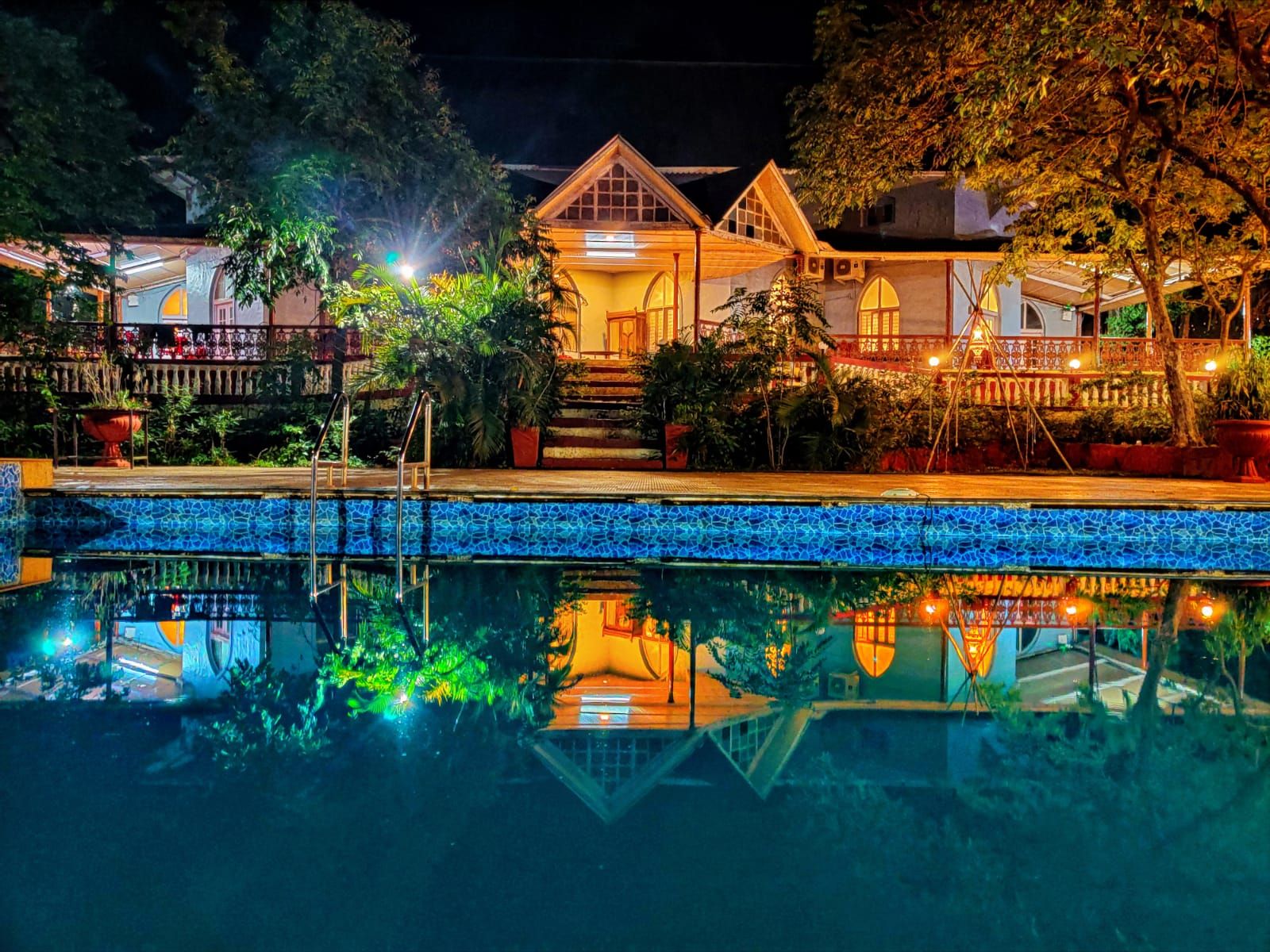
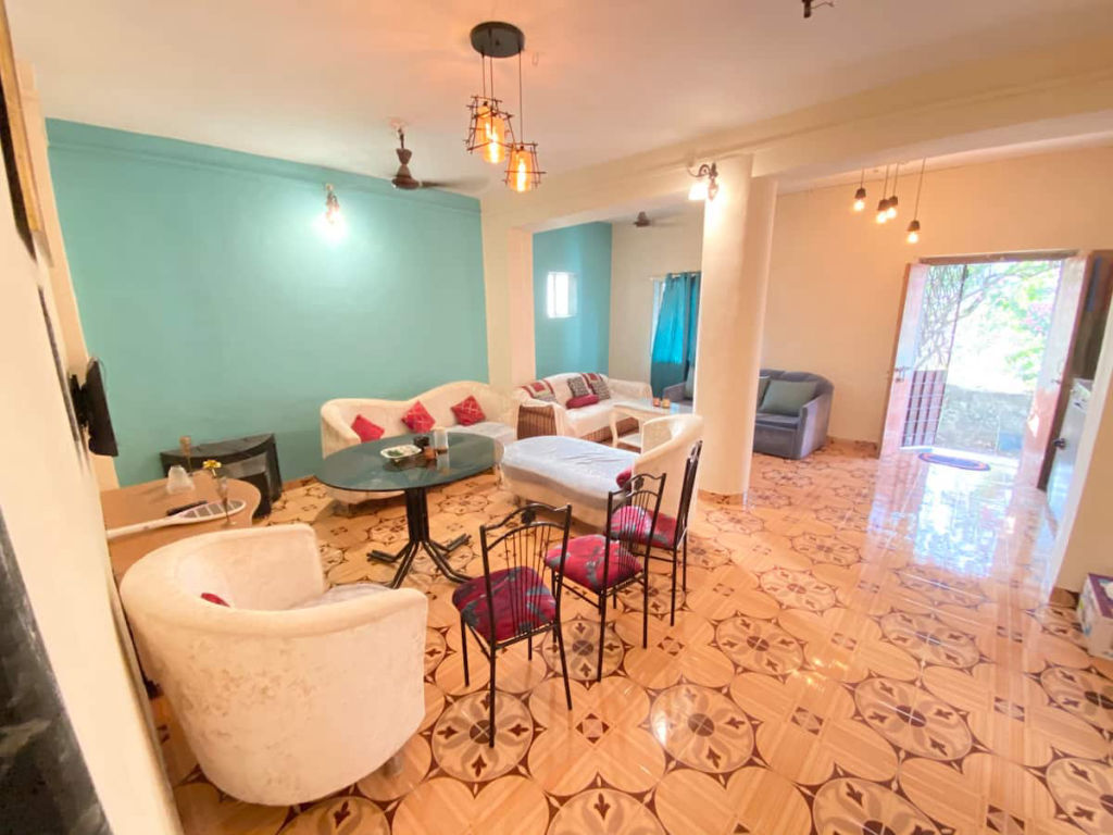
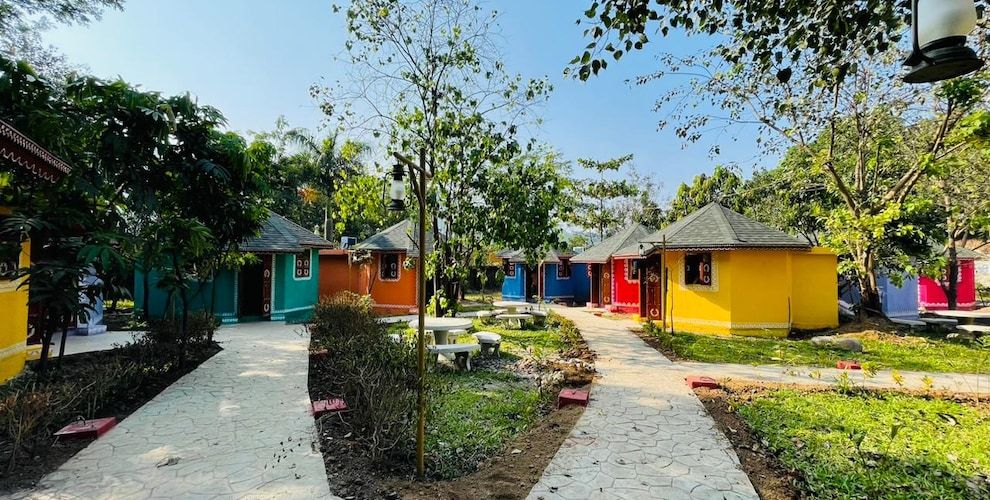
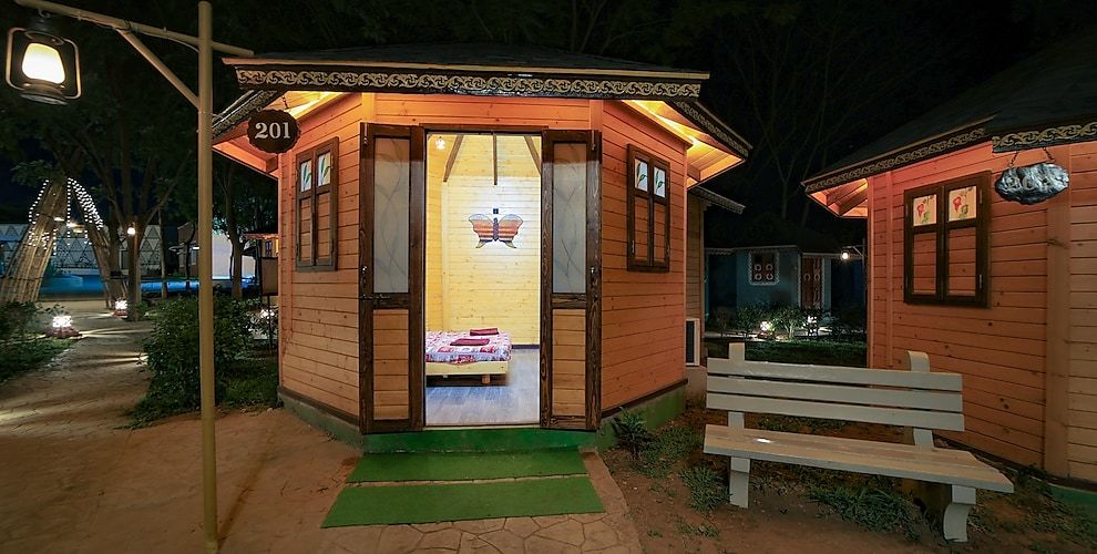
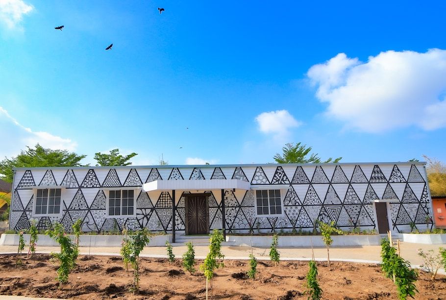
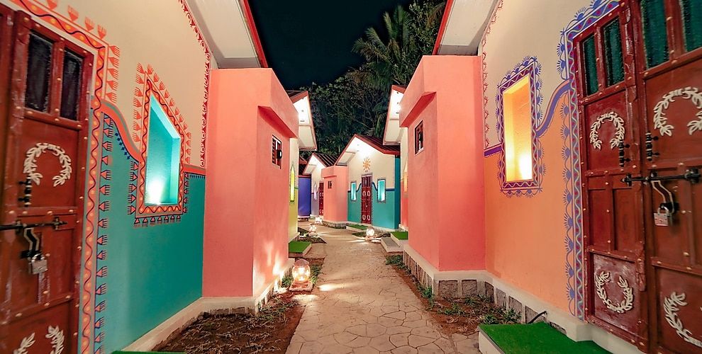
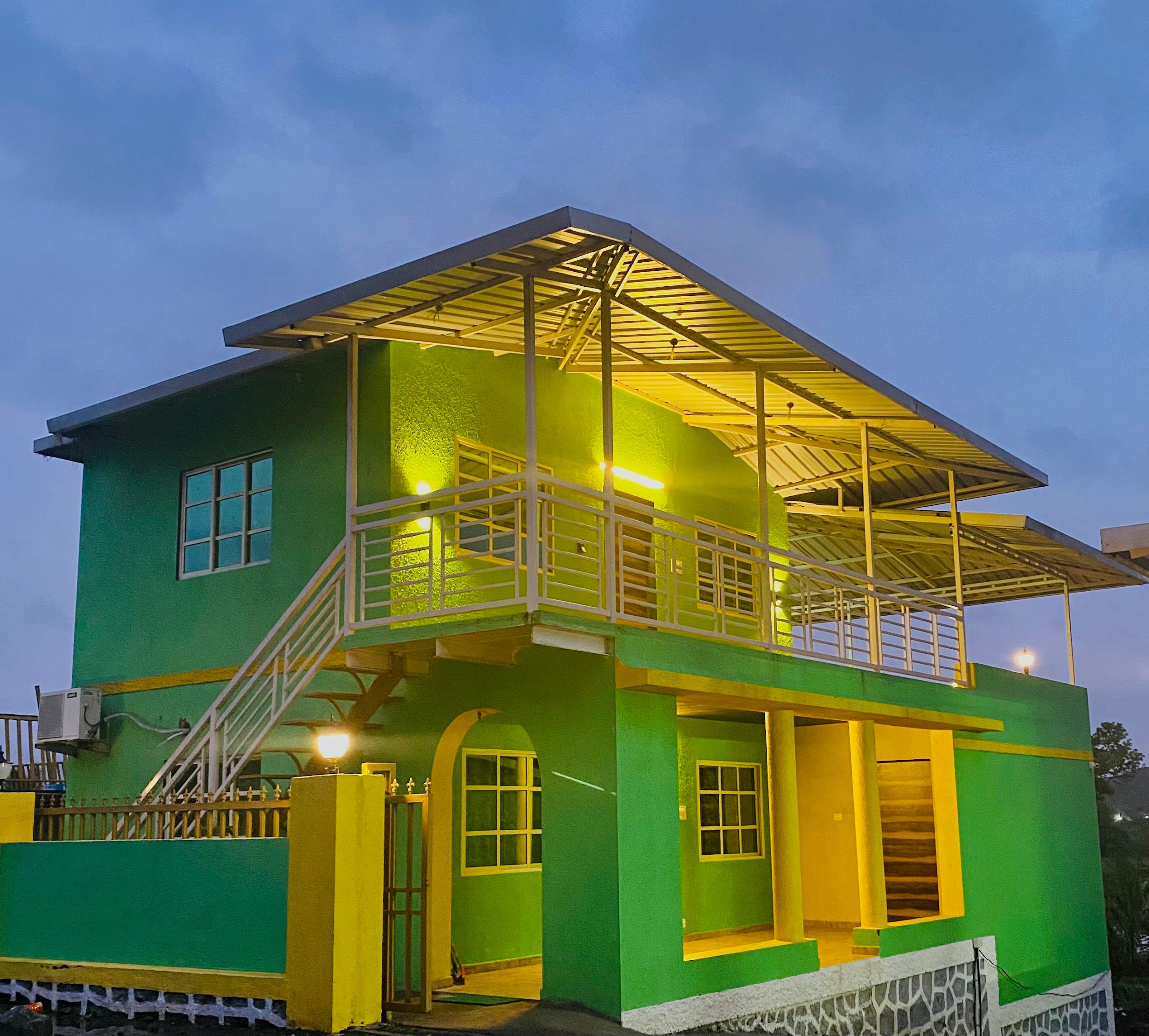
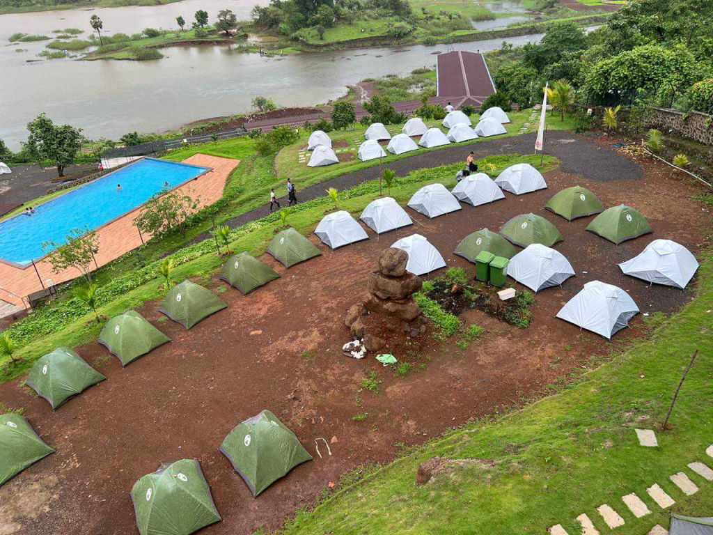
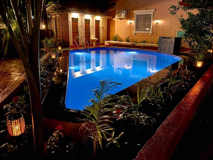
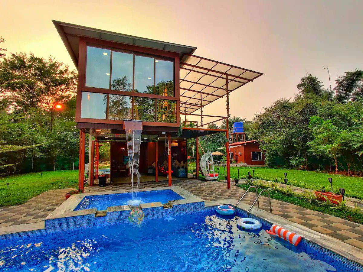
These surrounding regions host a variety of scenic stays, including rustic farmstays, homestays, and riverside getaways. Travellers looking to spend the night close to nature can browse and book verified campsites and experiential homestays across the region through HireACamp.
Frequently asked questions
How long does the Irshalgad trek take to complete?
The ascent from the base area to the upper ridge and the nedhe typically takes between two and three hours depending on your pace. The descent back down takes roughly an hour and a half to two hours.
Is Irshalgad suitable for beginner hikers?
The trek is manageable for beginners with reasonable physical fitness, but the final section involves steep, exposed rock-cut steps that require caution and a steady head for heights. Those with severe vertigo may find the final traverse challenging.
Is water available along the Irshalgad trail?
There are no treated drinking water stalls or clean natural water sources on the mountain. Trekkers should carry all the water they need from the base before starting the climb.
Can you climb to the very top of the Irshalgad pinnacle?
Reaching the absolute pinnacle tip requires technical rock climbing equipment, ropes, and mountaineering expertise. Standard trekkers typically hike up to the rock-cut stairs, water cisterns, and the natural rock cavity known as the nedhe.
Where you'll be
Irshalgad, Khalapur, MH · 12 stays nearby shown with prices
Stays near Irshalgad
Book a place to stay close by

More places near Irshalgad
Within 20 km


Lists for this area
Ranked by how many creators recommend each place


Built from 0 Instagram posts by 0 creators. Every tip links back to the post it came from, and where creators disagree we show both sides.






