
Prabalgad Fort
Fort near Machiprabal, Maharashtra
1 post
Guide from 1 post by 1 creator
@sankhe_teju
600 m from Machiprabal
The nearest town, for stays, food and fuel.
Prabalgad Fort is an expansive hill fortress set high on a flat-topped plateau in the Western Ghats near Machiprabal in Maharashtra. Rising between Panvel and Matheran, it stands opposite its dramatic sister peak, Kalavantin Durg, offering commanding panoramas across the surrounding valleys and Sahyadri ranges. Outdoor enthusiasts and heritage lovers visit to trek its rugged trails, explore weathered stone remnants, and experience the sweeping wilderness.
Getting there
By road
- From MachiprabalNearest town1 min · 200 m
- From Mumbai 1 hr 25 min · 55 km
- From Pune2 hr 25 min · 115 km
- From Nashik4 hr 30 min · 193 km
By train, bus or air
- D. B. Patil International AirportNearest airport51 min · 32 km
Typical drive times without traffic. Places, distances and typical drive times from OLA Maps; notes from creators' Reels.
About Prabalgad Fort
Written with AI from creators' posts and map data. Check prices and timings locally before you go.
About Prabalgad Fort
Prabalgad Fort, historically known as Muranjan, occupies an imposing tabletop ridge in the northern Western Ghats of Maharashtra. The fort rests at an elevation that grants an unobstructed view of the surrounding landscape, including the neighbouring hill station of Matheran and the steep pinnacles of the Sahyadri range. Its vantage point made it an important strategic bastion in the historical defense of trade routes running between the Konkan coast and the Deccan plateau.
The summit is remarkably vast compared to many other forts in the region, featuring thick groves of trees, open grassy flats, ancient stone steps, water cisterns carved directly into bedrock, and dilapidated stone foundations. Unlike typical narrow fortifications, the top of Prabalgad feels like a sprawling elevated forest plateau where nature has reclaimed much of the built architecture, creating an atmosphere of untamed wilderness.
History and heritage of Prabalgad
The history of Prabalgad is closely tied to the shifting powers that dominated the Deccan and Konkan belts over centuries. It was originally built during the reign of the Bahmani Sultanate and subsequently came under the control of the Ahmadnagar Sultanate. In the seventeenth century, the fort was captured by Chhatrapati Shivaji Maharaj from the Adil Shahi forces. Shivaji renamed the stronghold Prabalgad, honouring its formidable scale and strength.
During regional conflicts, the fort served as an essential retreat and lookout due to its high sheer cliffs and difficult approaches. Over the centuries, control changed hands among the Marathas, Mughals, and eventually the British East India Company. Today, though the grand living structures have largely eroded into ruin, the rock-cut reservoirs, fortified gateways, and enduring bastion walls stand as silent reminders of its martial past.
Read more
The trekking experience at Prabalgad
The trek to Prabalgad begins from the lower staging areas around Thakurwadi and leads up to the hamlet of Machiprabal, situated on a shelf halfway up the mountain. This initial stretch follows a well-trodden, winding mountain trail lined with loose gravel, rocky steps, and dense foliage. Machiprabal serves as a natural resting point where trekkers can catch their breath and take in views of the towering cliffs above before continuing upward.
From Machiprabal, the path diverges between the precipitous staircase of Kalavantin Durg and the forested route climbing onto Prabalgad itself. The ascent to the Prabalgad plateau navigates a dense forest canopy through a natural rock gully and carved stone steps. The climb requires moderate stamina, navigating through uneven boulders and tree roots. Once on top, walking across the length of the plateau is a tranquil experience, with trails leading to viewpoints overlooking the sheer cliffs, Kalavantin Durg, and the distant township below.
Best time to visit Prabalgad Fort
The landscape around Prabalgad transforms distinctively across the seasons. The post-monsoon and winter months, spanning from October through February, are widely considered the most comfortable time for trekking and exploration. During this period, daytime temperatures are mild, the skies are crisp and clear, and cool breezes sweep across the high plateau, making long hikes pleasant and rewarding.
The monsoon season, from June to September, brings intense rainfall that cloaks Prabalgad in vibrant greenery, racing cloud cover, and cascading seasonal waterfalls. While the lush scenery is striking, heavy downpours can make the rocky steps slippery and reduce visibility significantly. Trekkers venturing here during the rains should exercise extreme caution on narrow ledges. The summer months from March to May tend to be hot and humid, leading to dry vegetation and demanding trekking conditions, best suited for very early morning climbs.
How to reach Prabalgad Fort
Prabalgad Fort is located near Machiprabal in the Raigad district, easily accessible from major urban centers in western India. From Mumbai, the distance is around 55 km, taking approximately 1 hour and 30 minutes by road under typical, traffic-free conditions. Travellers usually drive towards Panvel and head onto the rural roads leading to the trailhead base.
Visitors travelling from Pune cover about 115 km, a journey of approximately 2 hours and 20 minutes via the Mumbai-Pune Expressway before turning off toward the base foothills. The fort is also reachable from Nashik, located around 193 km away with a driving time of roughly 4 hours and 30 minutes, while travellers from Surat face a drive of about 321 km, typically taking around 7 hours and 20 minutes. Public transport users can take suburban or regional trains to Panvel railway station, from where local buses and auto-rickshaws run toward the staging villages near the base of the mountain.
Tips for your visit
Preparation is key to an enjoyable excursion to Prabalgad. Footwear with reliable grip is essential, as the trail features gravel, wet boulders, and uneven rock-hewn steps. It is advisable to start your climb early in the morning, which helps you avoid midday heat and gives you adequate daylight to navigate the broad plateau without rushing.
Carry sufficient drinking water, hydration salts, and energy-rich snacks, as facilities on the upper plateau are non-existent. Trekkers should stick strictly to defined paths on top of the fort, keeping a safe distance from cliff edges, where drops are sheer and sudden winds can be strong. Be mindful of local wildlife and insects in the thick undergrowth, and always bring back your trash to help preserve the pristine mountain environment.
Places to explore nearby
The geography surrounding Prabalgad offers several outdoor and historical attractions for extended itineraries. The Garbett Plateau, located about 7 km away as the crow flies, presents scenic vantage points looking out toward the Matheran hills. A short distance away lies Sondai Fort, approximately 9 km from the area, which provides a compact and rewarding short trek with steel ladders and panoramic views of the Morbe Dam reservoir.
Slightly further south and east toward the Western Ghats crest, the hill country around Khandala, located roughly 29 km away, is dotted with vantage points, deep ravines, and waterfalls like the Kataldhar falls. For those interested in ancient rock-cut architecture, the renowned Karla Caves lie around 34 km from the region, showcasing historic Buddhist prayer halls and ornate rock carvings.
Where to stay near Prabalgad
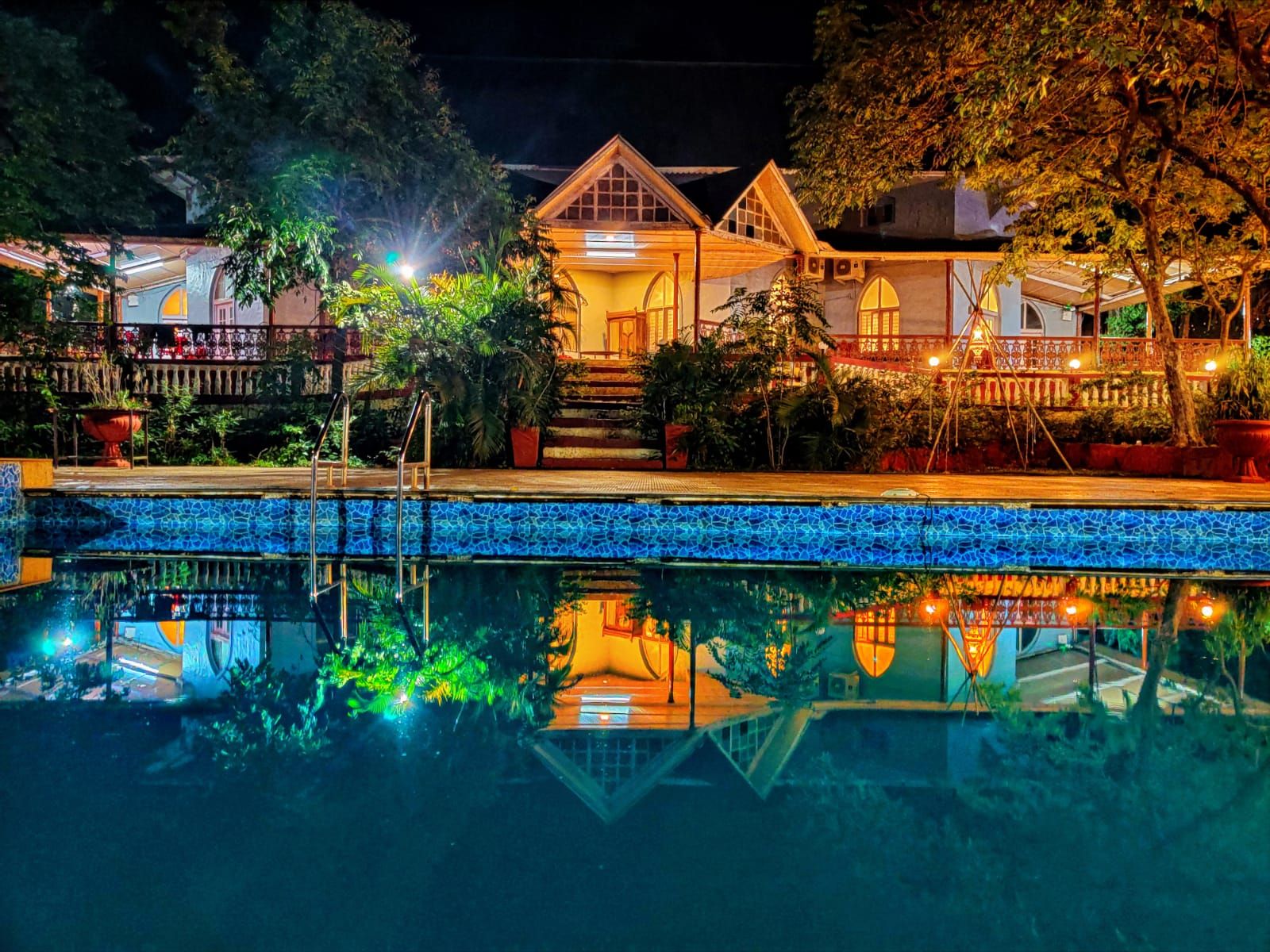
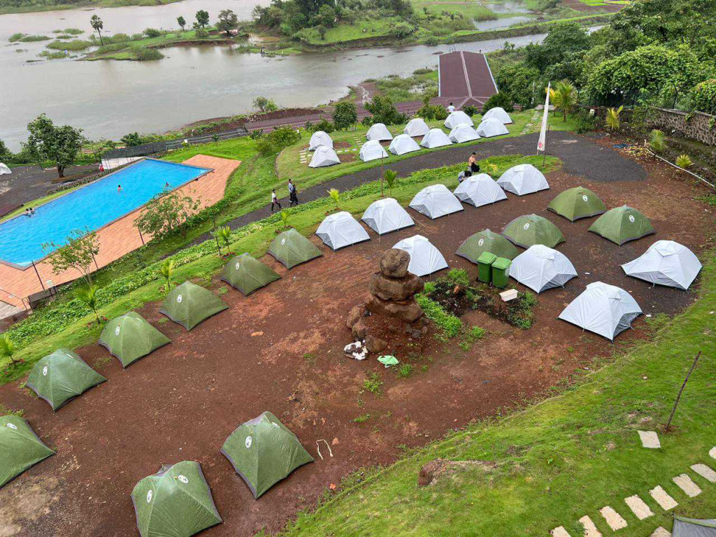
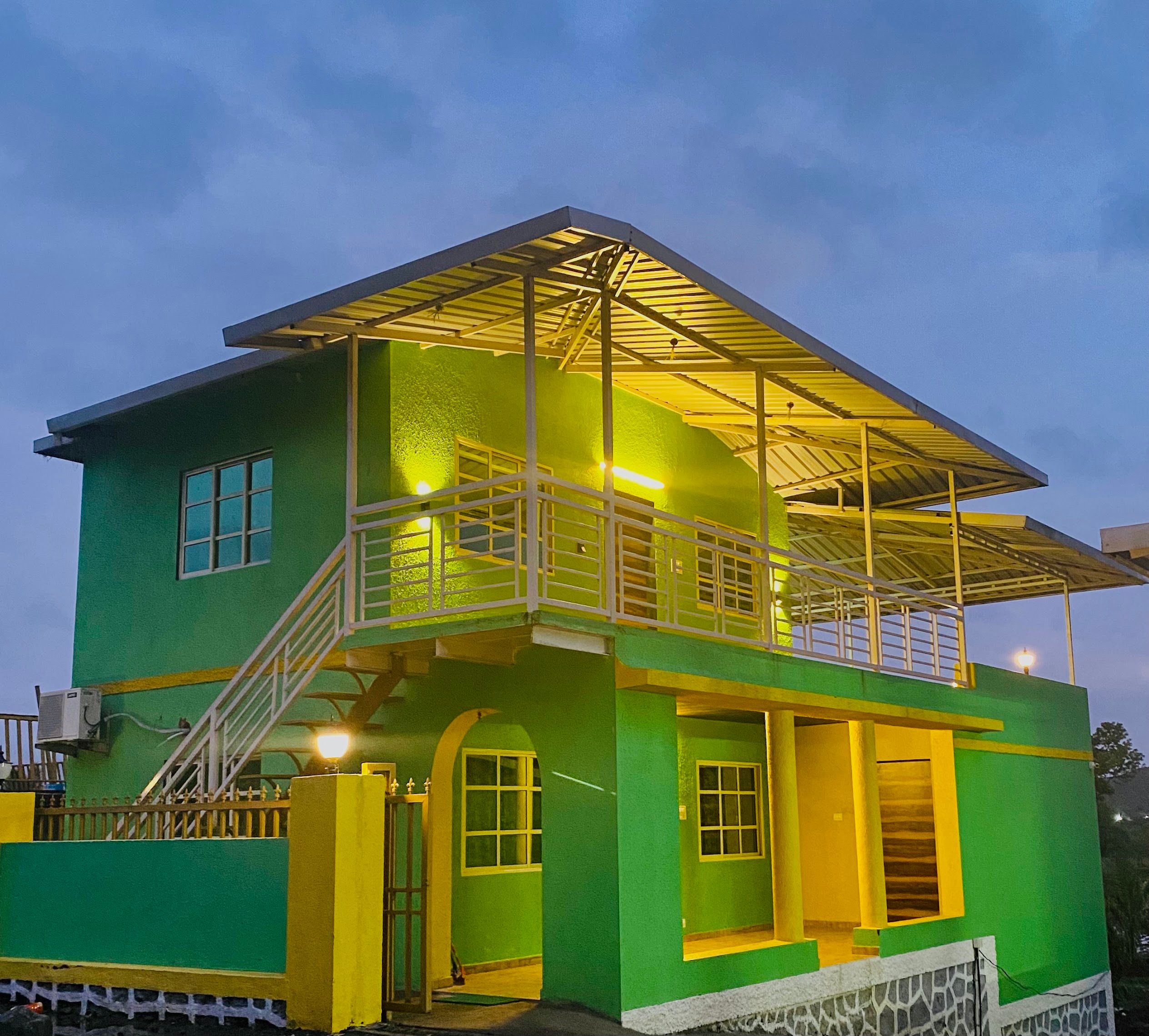
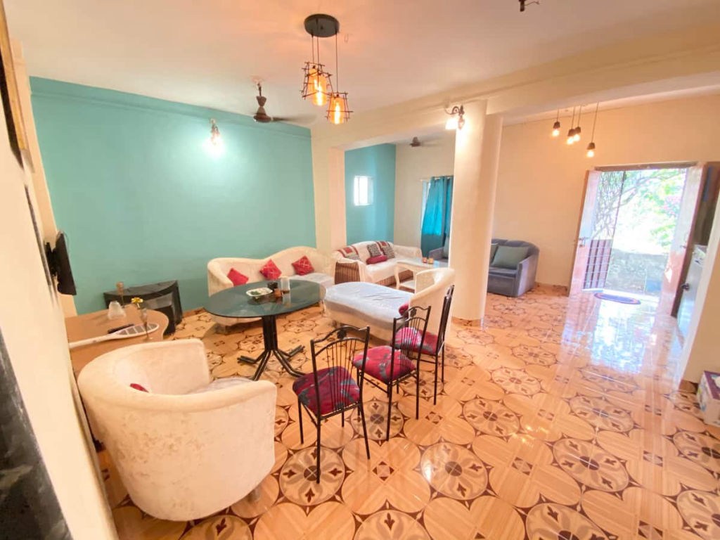
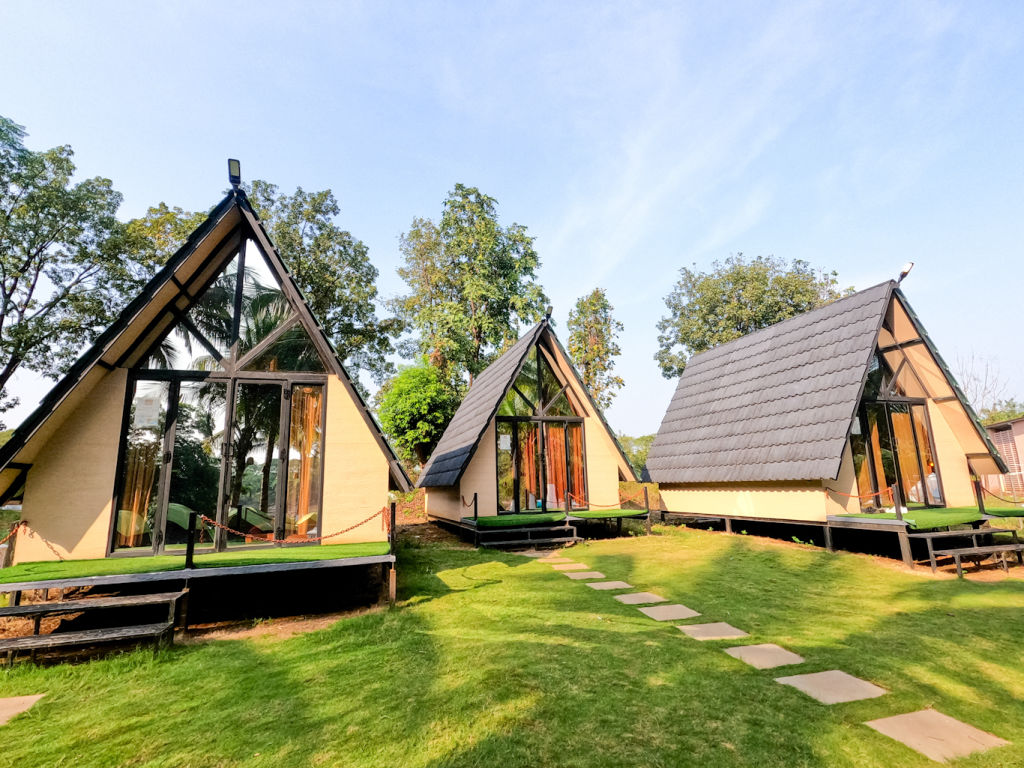
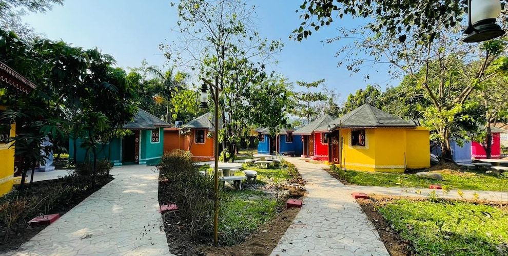
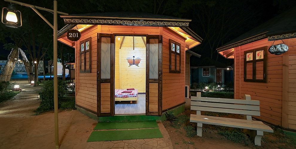
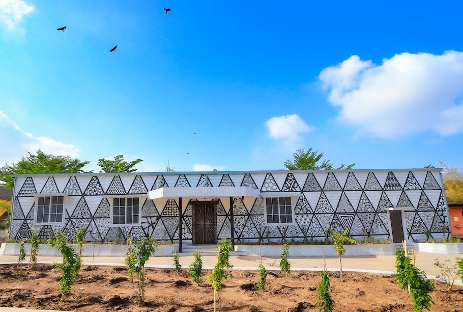
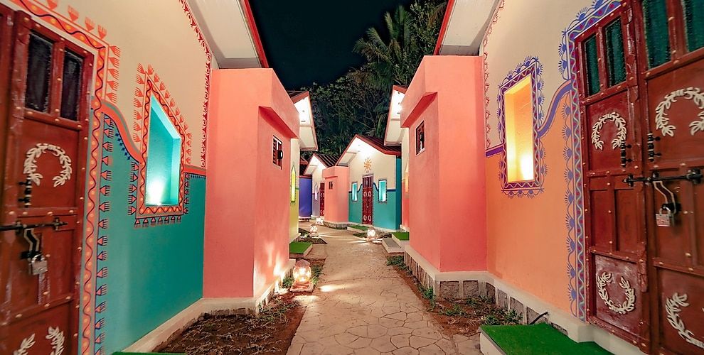
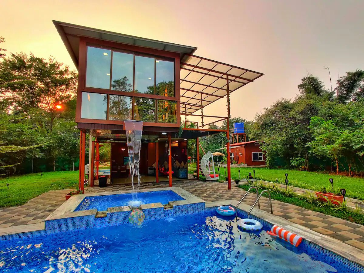
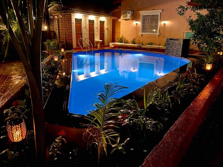
Travellers planning an overnight getaway or a weekend outdoors can find a variety of welcoming accommodations throughout the surrounding rural belt and hill valleys. The nearby countryside features nature-centric retreats, peaceful rural homestays, and established campsites nestled among farms and riverbanks.
Whether you are looking for a rustic tent pitch close to the base village to begin your hike at dawn, or a comfortable private cottage surrounded by native greenery, suitable stays nearby can be discovered and booked on HireACamp. Staying locally allows you to immerse yourself in the unhurried rhythm of the countryside after an active day on the mountain trails.
Frequently asked questions
How difficult is the trek to Prabalgad Fort?
The trek to Prabalgad Fort is generally graded as moderate. While it does not feature the exposed cliff staircases found on neighboring Kalavantin Durg, it requires endurance to navigate sustained rocky paths, forest inclines, and stone steps up to the plateau.
Can Prabalgad Fort be covered as a day trip from Mumbai or Pune?
Yes, given its driving distance of around 55 km from Mumbai and 115 km from Pune, Prabalgad is a popular day trek. Starting early in the morning allows ample time to complete the ascent, explore the plateau, and return before nightfall.
Is it possible to visit both Prabalgad and Kalavantin Durg on the same day?
Yes, both trails diverge from the central plateau village of Machiprabal. Trekkers with good stamina often combine both peaks in a single day by visiting one in the morning and the other in the afternoon.
Are there food and water stalls on top of Prabalgad Fort?
There are usually small refreshment stalls offering tea, snacks, and water at the base village and Machiprabal, but you will not find reliable facilities atop the upper plateau. Trekkers must carry enough drinking water and snacks for their time at the summit.
Is Prabalgad Fort safe to trek during the monsoon?
Trekking in the monsoon is scenic but carries challenges, including slippery rocky paths, thick fog, and rain-swollen streams. Trekkers should wear shoes with strong tread, move carefully along rock edges, and check regional weather advisories before heading out.
Where you'll be
X6JC+4MW, near Prabalgad Fort, Machiprabal, Maharashtra 410221 · 12 stays nearby shown with prices
As seen on Instagram
The posts this guide is built from
Stays near Prabalgad Fort
Book a place to stay close by

More places near Prabalgad Fort
Within 20 km


Lists for this area
Ranked by how many creators recommend each place


Built from 1 Instagram post by 1 creator. Every tip links back to the post it came from, and where creators disagree we show both sides.


