
Malanggad
Peak near Taloje, Maharashtra
8.8 km from Taloje
The nearest town, for stays, food and fuel.
Malanggad is an imposing hill fort and peak rising above the Sahyadri landscape near Taloje in Maharashtra. Celebrated for its unique multi-tiered topography and the historical Haji Malang shrine perched on its plateau, the peak attracts a vibrant mix of pilgrims, history enthusiasts, and adventurous hikers. Visitors make the ascent to experience sweeping vistas over the surrounding valleys, dramatic rocky outcrops, and the cultural harmony that defines this prominent landmark.
Getting there
By road
- From TalojeNearest town54 min · 14 km
- From Mumbai 1 hr 45 min · 58 km
- From Pune2 hr 55 min · 128 km
- From Nashik4 hr 10 min · 178 km
Typical drive times without traffic. Stations and airports from OLA Maps; distances and typical drive times from OpenStreetMap (© OpenStreetMap contributors); notes from creators' Reels.
About Malanggad
Written with AI from map data and general knowledge. Check prices and timings locally before you go.
About Malanggad
Malanggad, often known historically as Malang Gad, is one of the most distinctive mountain formations in the Western Ghats periphery near Taloje. The hill fort features a unique three-level geological profile that sets it apart from traditional flat-topped Deccan plateaus. The lowest tier, known as Pir Machi, hosts the famous shrine of Haji Malang along with a bustling settlement of local stalls and dwellings. Above this plateau lies Sone Machi, a projecting rock bastion that historically served as a defensive vantage point during the reigns of the Shilahara dynasty, the Marathas, and later the British. The topmost tier is a narrow, vertical rock pinnacle known as the citadel, rising steeply into the sky. Because of its commanding height and defensive natural walls, Malanggad historically monitored trade routes across the Konkan plain, making it an enduring symbol of regional history and natural grandeur.
Trekking terrain and climbing at Malanggad
The journey up Malanggad offers distinctly different experiences depending on how far climbers choose to venture. The trail begins at the foothills and winds upward along a constructed stone stairway leading directly to Pir Machi. This section of the trail is well trodden and broad, lined with refreshment stalls, resting spots, and pilgrims making their way to the historic shrine. Beyond the populated plateau of Pir Machi, the nature of the terrain changes completely. The path leading up to Sone Machi transitions into a rugged hill track with exposed rock surfaces, natural stone steps, and steep gradients that demand sturdy balance. For extreme mountaineers, the uppermost pinnacle presents sheer rock faces, exposed ledges, and deep drops on either side, requiring technical climbing gear, ropes, and local guidance to navigate safely. Most day hikers explore the plateau and lower bastions, taking in dramatic views of the Konkan expanse while marveling at the sheer verticality of the summit rock.
Read more
Best time to visit Malanggad
The seasonal character of the northern Western Ghats strongly influences the experience of visiting Malanggad. The winter months from October to February offer the most comfortable conditions for walking and climbing, featuring mild morning temperatures, clear skies, and gentle breezes across the ridges. Early morning starts during this period reward visitors with crisp visibility over the surrounding plains and neighboring peaks. The monsoon season between June and September brings steady rains that drape the hills in vivid greenery, fill natural mountain streams, and wrap the crags in rolling mist. While the lower stone steps remain accessible during the wet months, hikers must exercise extreme caution as the exposed rock surfaces and earthen paths above the settlement turn slick and muddy. The summer months from March through May are typically dry and intensely hot, with high daytime temperatures that make the long, unshaded stone ascent physically grueling.
How to reach Malanggad
Reaching Malanggad is straightforward from major transit points across the Mumbai Metropolitan Region and Thane district. The nearest major railway hub is Kalyan, which is well connected by suburban and long-distance train networks. From Kalyan railway station, state transport buses and shared auto-rickshaws operate regular services heading directly toward the base village of Malanggad. Travelers coming from Navi Mumbai or Taloje can reach the base via local road networks by private vehicle, taxi, or local connecting transport. Drivers arriving from Mumbai or Pune can follow regional expressways and state highways toward Panvel or Kalyan before diverting onto the rural roads leading to the foothills. The access roads pass through rural settlements and open countryside, leading to designated parking clearings at the base of the hill where the main walking trail begins. Visitors are advised to check local transport timetables on the day of travel.
Places to visit near Malanggad
A visit to Malanggad can readily be combined with other natural and historical points of interest in this corner of Maharashtra. Just fifteen kilometers away stands the formidable Prabalgad Fort, famed for its massive flat summit and neighboring rock formations. The verdant ridges of Kharghar Hills lie roughly sixteen kilometers away, offering peaceful nature trails and elevated viewpoints overlooking the planned urban layout of Navi Mumbai. Hikers drawn to scenic ridgelines can venture toward the Garbett Plateau and Sondai Fort, both located within an easy driving radius and known for panoramic vistas during the cooler months. For bird watchers and wildlife admirers, Karnala Bird Sanctuary provides shaded forest paths surrounding an ancient basalt pillar twenty-five kilometers away. Further north and west, the vast green forests of Sanjay Gandhi National Park and the ancient rock-cut Kanheri Caves present memorable outdoor excursions showcasing the deep cultural and ecological heritage of the Sahyadri range.
Tips for your visit to Malanggad
A successful outing to Malanggad requires thoughtful preparation and awareness of mountain conditions. Sturdy footwear with reliable traction is essential, as the ascent involves thousands of stone steps and uneven rocky patches that can be slippery under dust or rainwater. Carrying ample drinking water and electrolytes is necessary, particularly during the middle of the day when humidity and sun exposure quickly lead to dehydration. Macaque monkeys inhabit the trail leading up to the plateau, so visitors should keep snacks and personal items securely zipped inside backpacks rather than carrying open bags. Sun protection, including a wide-brimmed hat, sunglasses, and light breathable clothing, makes the steep climb significantly more manageable. Hikers intending to explore beyond the settlement area should begin their descent well before twilight, as unlit mountain sections and steep rocky edges become hazardous after dark. Always check local weather warnings before embarking on your trip.
Where to stay near Malanggad
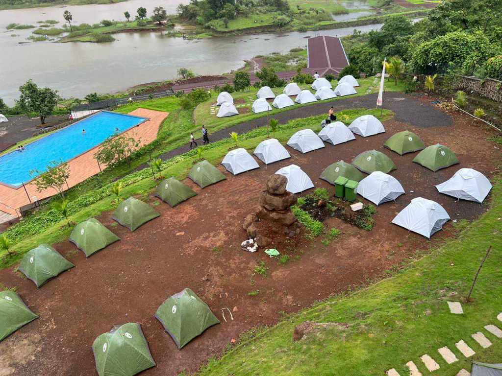
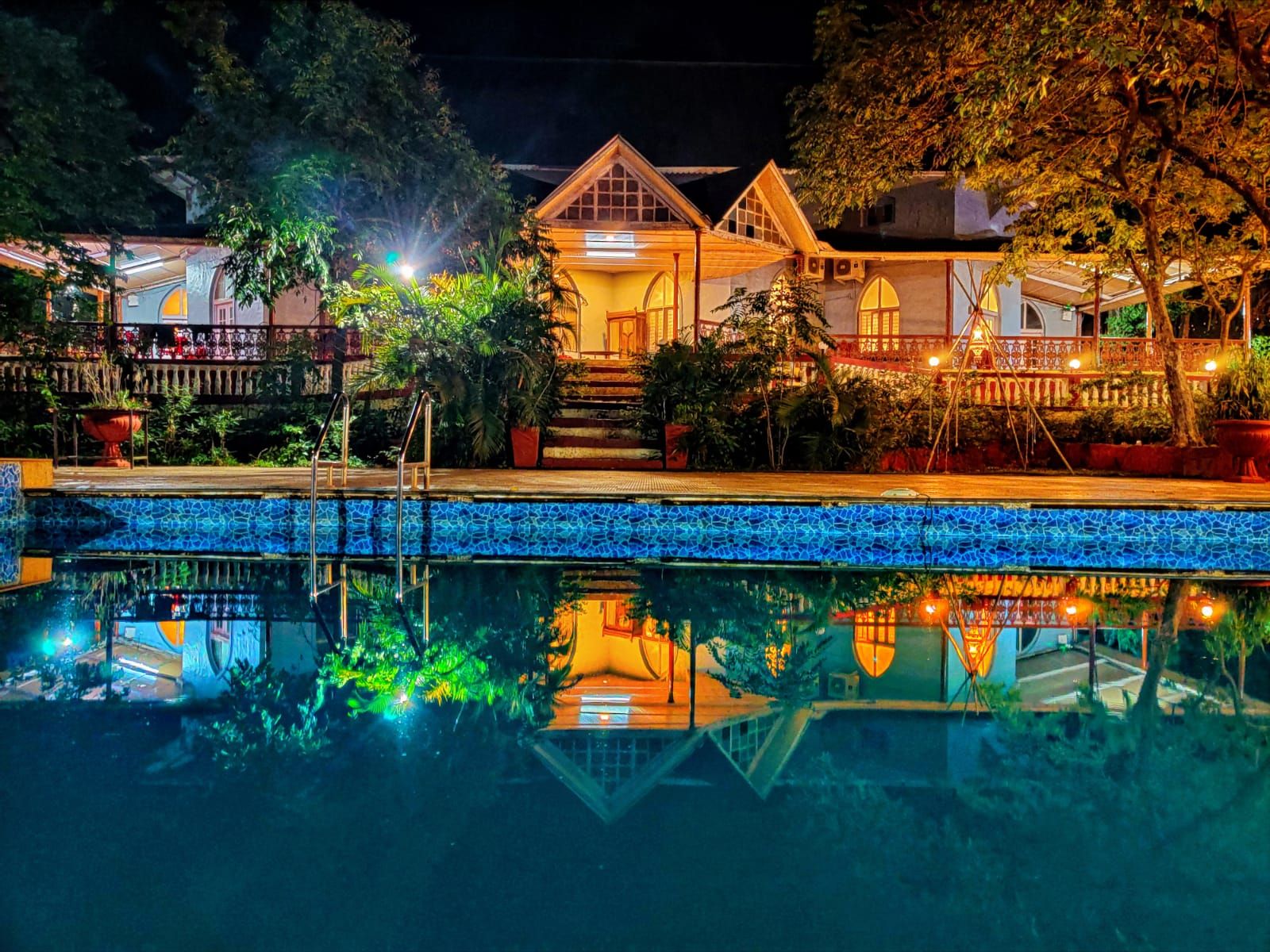
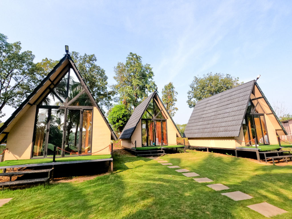
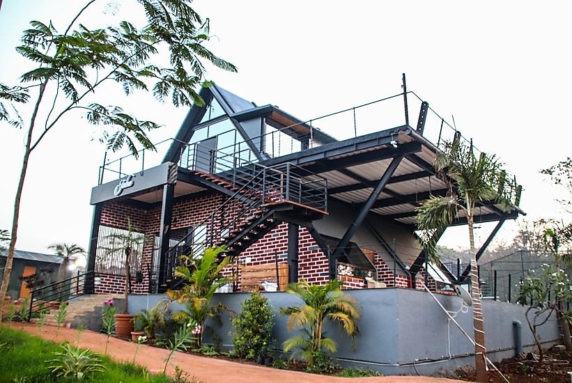
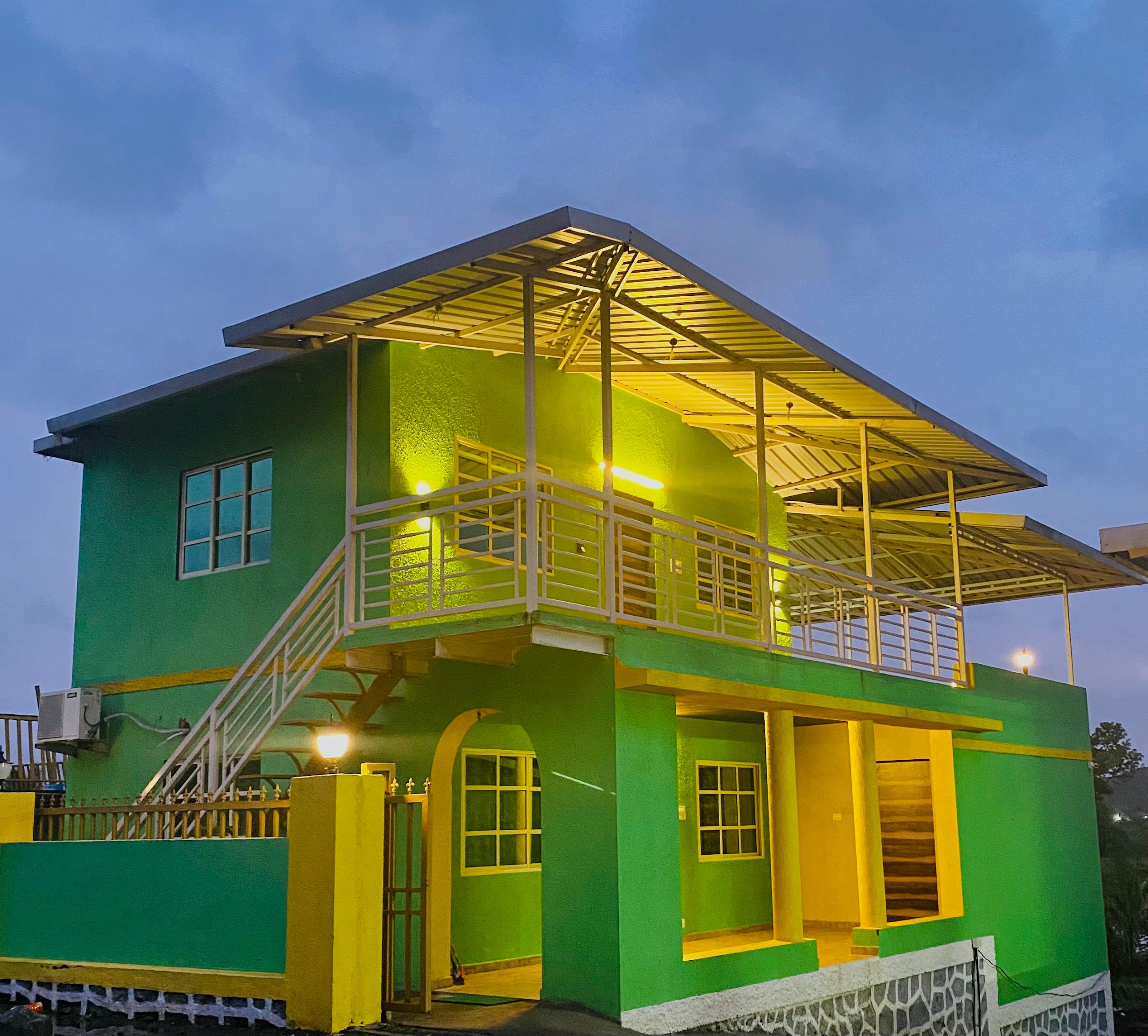
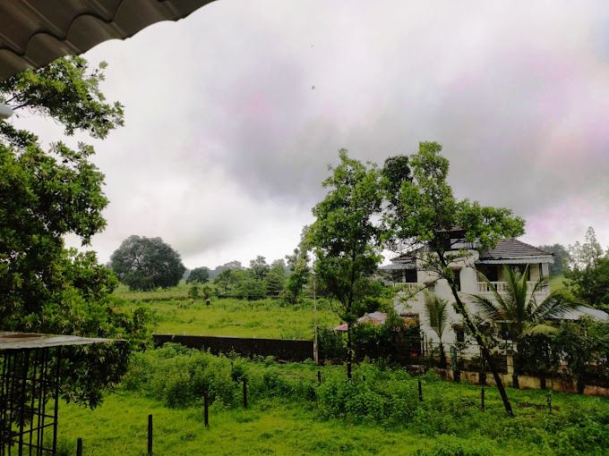
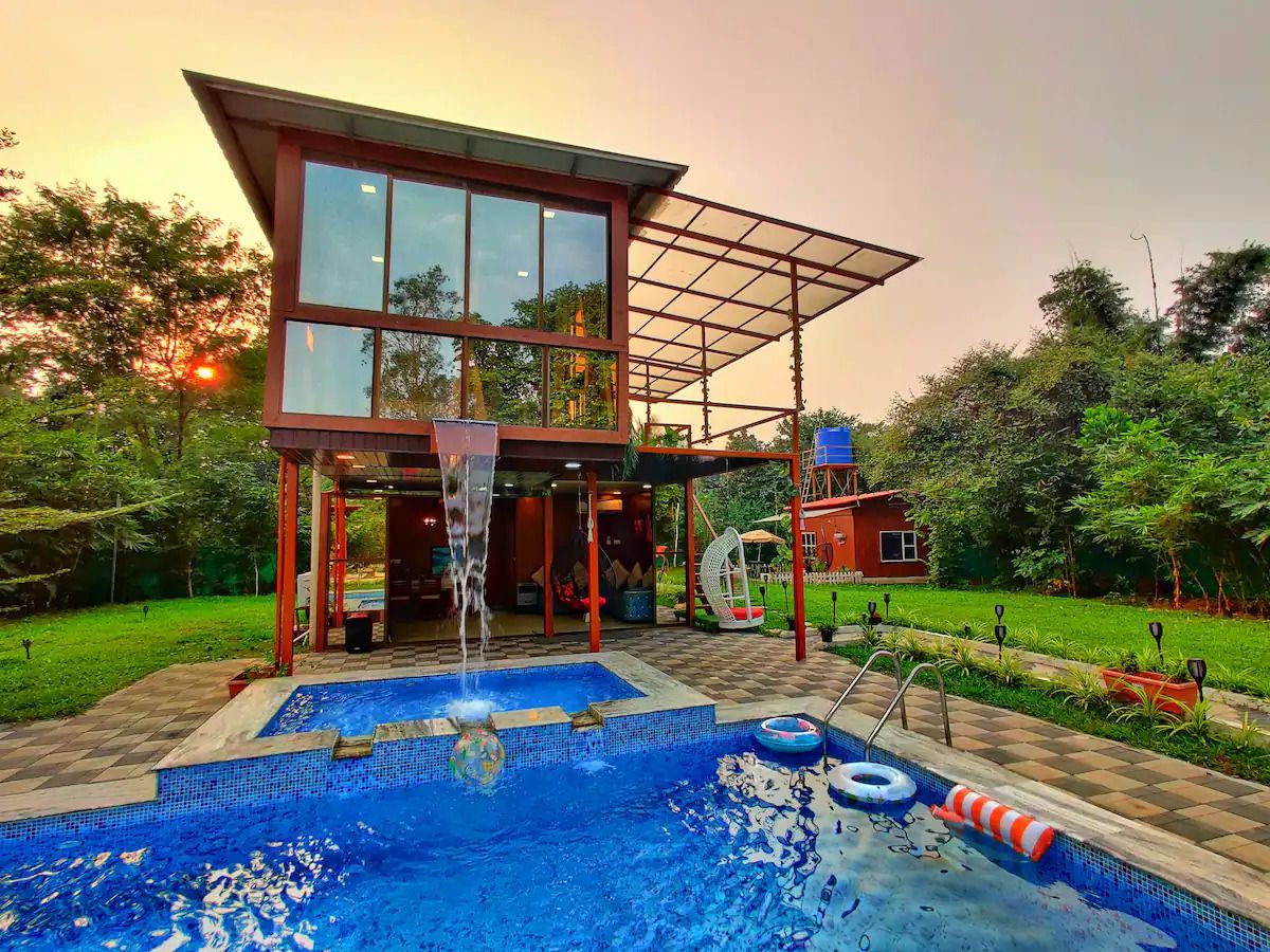
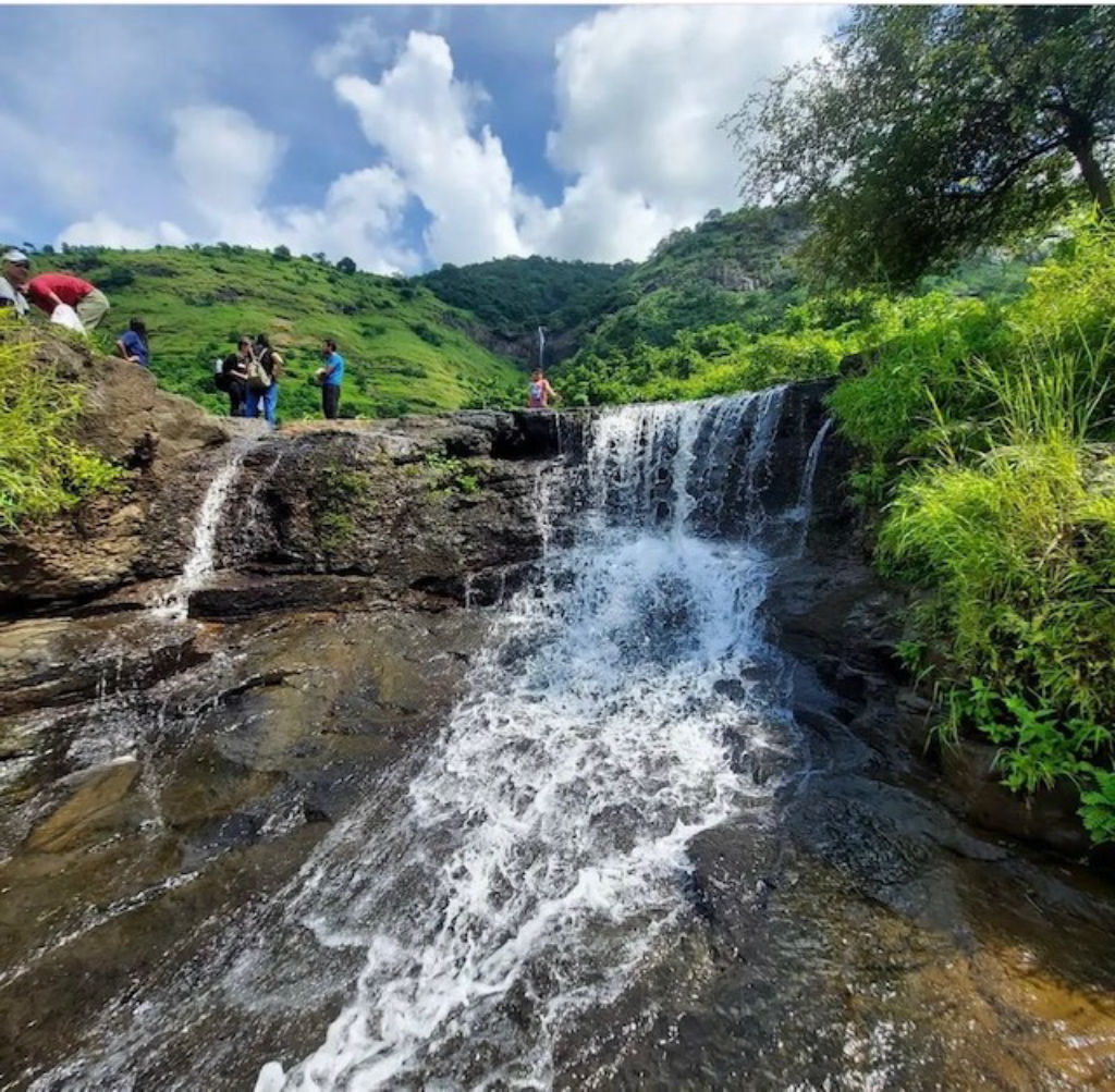
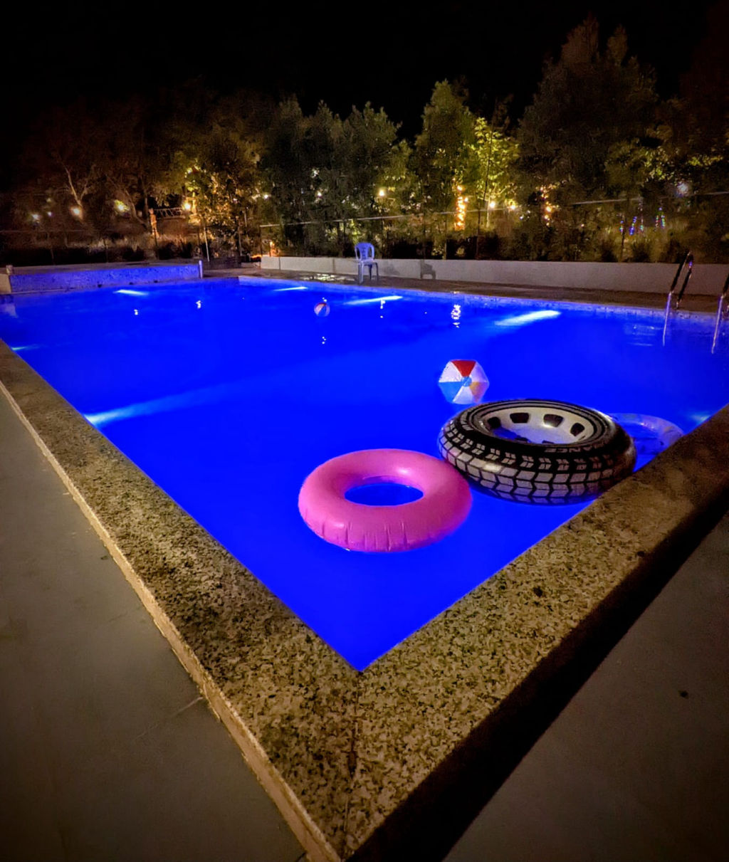
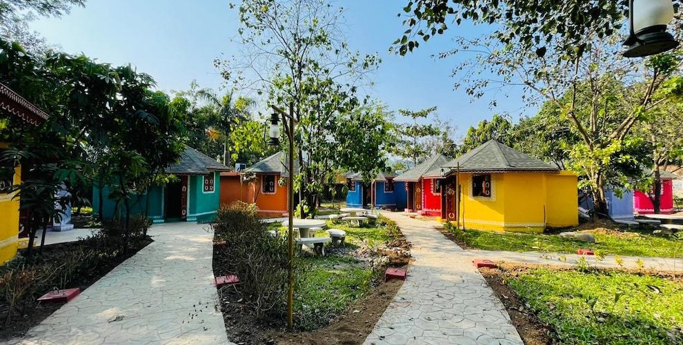
Because Malanggad is easily accessible for a full-day excursion from nearby urban centers, many visitors choose to make the trek as a day trip. However, for those seeking a more relaxed weekend retreat amidst nature, the surrounding rural landscapes near Panvel, Karjat, and the Matheran foothills offer a wide variety of tranquil accommodations. Travelers can find scenic nature campsites, serene farmstays, and welcoming homestays nestled among orchard groves and riverbanks on HireACamp. Staying in the nearby countryside allows you to enjoy starry night skies, fresh morning air, and peaceful surroundings before starting your hike early in the day. Booking through HireACamp helps you connect with local hosts who can offer authentic regional hospitality and a comfortable base for your Sahyadri adventure.
Frequently asked questions
How long does it take to climb Malanggad?
The hike to the main plateau of Pir Machi typically takes between one and a half to two and a half hours depending on your pace. Continuing further to Sone Machi or the higher ridges requires additional time and careful trekking.
Is the summit of Malanggad safe for beginners?
The stone pathway leading up to the Pir Machi settlement is suitable for casual hikers and pilgrims of average fitness. However, the vertical citadel at the topmost peak involves technical rock climbing and should only be attempted by experienced mountaineers with proper safety equipment.
Are food and water available along the Malanggad trail?
Yes, the lower trail and the plateau around Pir Machi have numerous small stalls offering drinking water, tea, snacks, and simple meals. It is still recommended to carry your own water bottle for the ascent, particularly if you explore higher sections beyond the settlement.
What is the best season to trek Malanggad?
The cooler months from October to February are considered the best time to visit Malanggad due to comfortable temperatures and clear views. Monsoons offer lush scenery but create slippery rock conditions, while summers can be intensely hot on the exposed rock.
Where can I find accommodation near Malanggad?
Homestays, nature campsites, and countryside retreats in the surrounding valleys and nearby foothill areas can be booked on HireACamp for a convenient base before or after your climb.
Where you'll be
Maharashtra · 12 stays nearby shown with prices
Stays near Malanggad
Book a place to stay close by


More places near Malanggad
Within 20 km


Lists for this area
Ranked by how many creators recommend each place


Built from 0 Instagram posts by 0 creators. Every tip links back to the post it came from, and where creators disagree we show both sides.






