
Palukachipara
Viewpoint near Periya, Kerala
7.7 km from Periya
The nearest town, for stays, food and fuel.
Palukachipara is a scenic hill viewpoint situated near the town of Periya in the highland region of northern Kerala. Perched along the emerald slopes of the Western Ghats, it features dramatic rock shelves and wide panoramic views across forested valleys. Nature enthusiasts and hikers visit Palukachipara to take in the sweeping vistas, watch rolling morning mists, and enjoy a quiet walk in nature.
Getting there
By road
- From PeriyaNearest town47 min · 27 km
- From Mysuru4 hr 5 min · 167 km
- From Mangaluru5 hr 5 min · 233 km
- From Coimbatore6 hr 10 min · 262 km
Typical drive times without traffic. Stations and airports from OLA Maps; distances and typical drive times from OpenStreetMap (© OpenStreetMap contributors); notes from creators' Reels.
About Palukachipara
Written with AI from map data and general knowledge. Check prices and timings locally before you go.
About Palukachipara viewpoint
Palukachipara is an elevated rocky summit rising above the lush countryside near Periya in northern Kerala. Positioned on the hilly borders between the Malabar plains and the Wayanad plateau, this natural vantage point consists of sprawling granite rock formations resting atop a ridge. The summit commands an uninterrupted panoramic view of the Western Ghats landscape, taking in rolling hills, dense canopies of evergreen and moist deciduous forest, and quiet farming settlements.
The name Palukachipara draws from local linguistic roots and the distinctive contours of its rocks. Unlike heavily commercialized viewpoints, Palukachipara remains a peaceful, low-key spot where visitors can sit atop open stone slabs, listen to birds calling through the canopy, and watch cloud shadows drift across the valleys below.
The trekking trail to the viewpoint
Reaching the open vantage point at Palukachipara requires a scenic uphill walk that begins along regional village paths. The initial section of the trail winds past local homesteads, pepper vines, and plantations before transitioning into natural scrubland and rocky terrain. The trail is mostly an unpaved, natural path that steadily climbs the shoulder of the hill.
As you ascend, the forest cover gradually opens up, revealing glimpses of the surrounding peaks. The final stretch requires walking across bare granite ledges, which can be uneven and steep in a few places. At the summit, cool mountain breezes sweep across the flat rock platform. On clear mornings, you can gaze deep into the surrounding valleys, while late afternoons often bring drifting mist that cloaks the ridges in atmospheric white.
Read more
Best time to visit Palukachipara
The climate around Periya and the Palukachipara hills is heavily influenced by the tropical monsoon and the elevation of the Western Ghats. The post-monsoon and winter months, spanning from October through February, are generally considered the best time for a hike. During this period, the surrounding countryside is vividly green, the air is clean, and temperatures are comfortably mild for outdoor activity.
From March to May, the region enters summer, bringing warmer afternoons and dry paths. While the hike is entirely feasible in these months, it is best undertaken in the early morning before the sun heats the exposed stone summit. The monsoon season from June to September brings torrential rainfall and dense fog. While the misty weather creates dramatic scenery and feeds seasonal streams, the rocky paths become slippery and leeches are common in the undergrowth, so visitors traveling during these months should exercise caution and wear appropriate footwear.
How to reach Palukachipara
Palukachipara is accessed via the small highland town of Periya in Kerala. The area is connected by scenic ghat roads leading up from coastal hubs like Kannur and Thalassery, as well as routes arriving from interior towns in Wayanad such as Mananthavady. Private vehicles and taxis can navigate the asphalt roads up to the vicinity of the base trail, though the final rural lanes leading to the trek point can be narrow and winding.
Travelers relying on public transit can take state transport buses running between the coast and the hill districts, getting off at Periya or nearby bus stops. From there, local auto-rickshaws can take you to the base of the hill where the footpath starts. Since parking directly at the trailhead may be limited to roadside clearings, visitors driving their own vehicles should park considerately without obstructing local traffic.
Tips for your visit
Planning ahead will ensure a safe and pleasant hike up Palukachipara. Wear sturdy walking shoes with reliable grip, as the exposed rock surfaces can be slick, particularly when damp with dew or rain. If you visit right after the monsoon, it is helpful to carry salt or wear leech socks to handle any leeches found in the lower, grassy sections of the path.
There are no commercial stalls or shops on top of the hill, so carry enough drinking water and light snacks for your hike. Be mindful of the natural setting by carrying all your waste back down with you. Finally, try to plan your return hike so that you reach the base road before darkness sets in, as the unlit trail across open rock can be hard to navigate at night.
Places to visit nearby
A trip to Palukachipara can easily be combined with other natural and cultural sights located within a short drive. The Brahmagiri Ghat Reserve lies nearby, presenting dense forest tracts and dramatic mountain ridges characteristic of the Western Ghats. Waterfall lovers can explore Gumma Kolli Falls and Saratabbi Falls, which flow through scenic forest hollows and are especially lively during and after the rainy season.
For historical and spiritual excursions, the nearby town of Mananthavady hosts the Pazhassi Raja Tomb and adjoining Pazhassi Park, dedicated to the legendary warrior king of the region. Sacred heritage sites such as Trishileri Temple and Valliyoorkavu Temple offer quiet surroundings and traditional Kerala temple architecture. If you wish to look for wildlife, the outer fringes of the Wayanad Wildlife Sanctuary and Nagarahole National Park are within driving distance and host herds of wild elephants and diverse forest birds.
Where to stay near Palukachipara
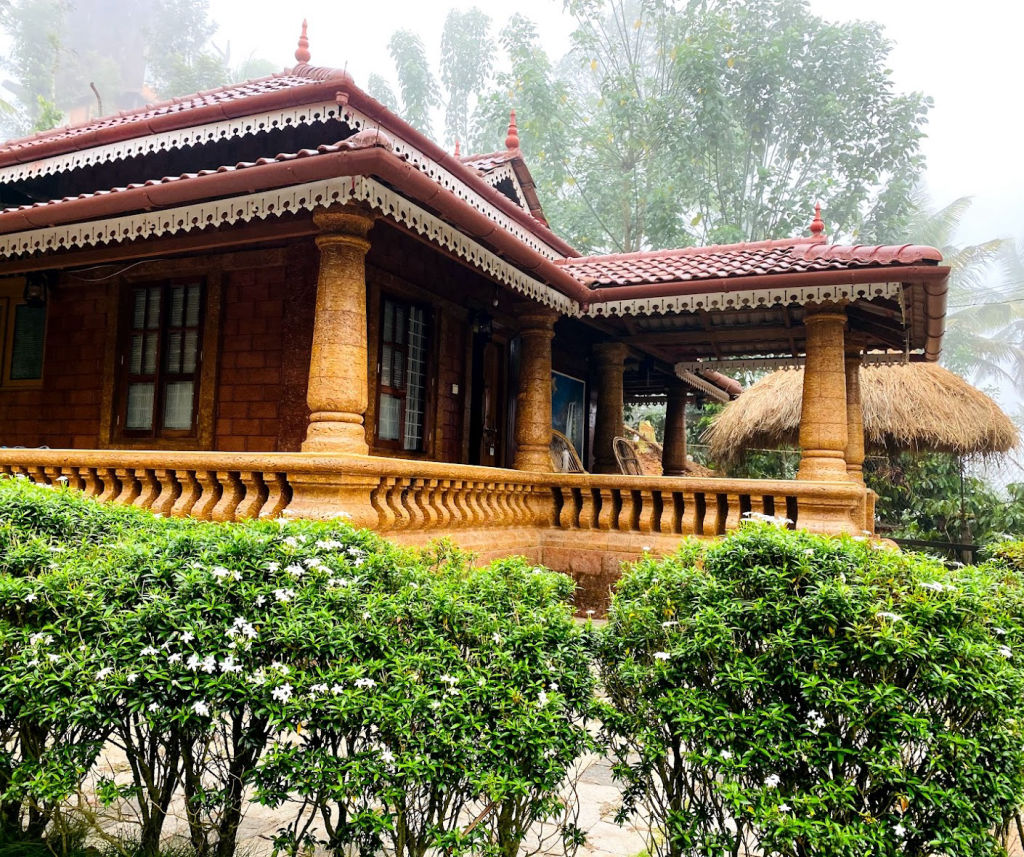
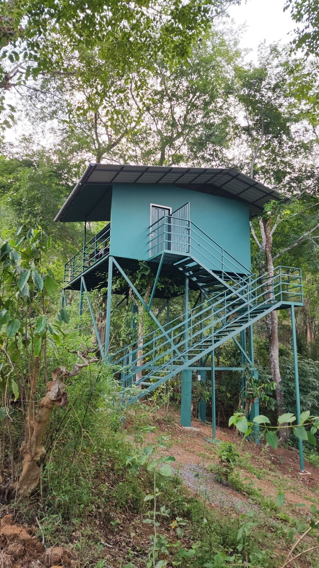
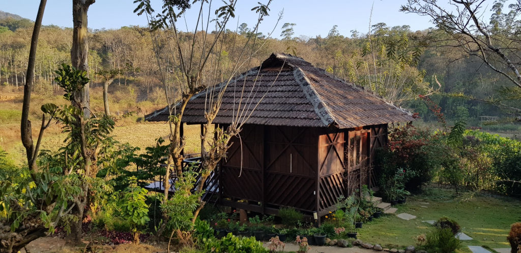
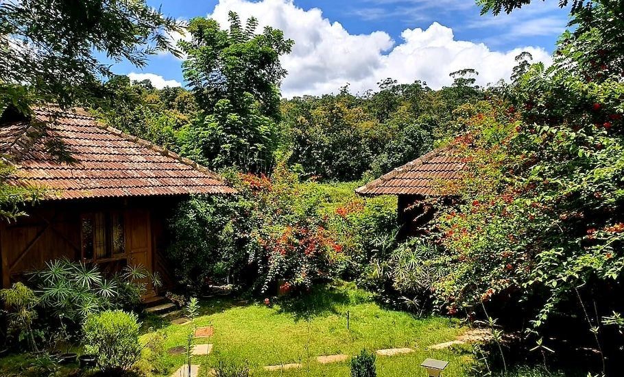
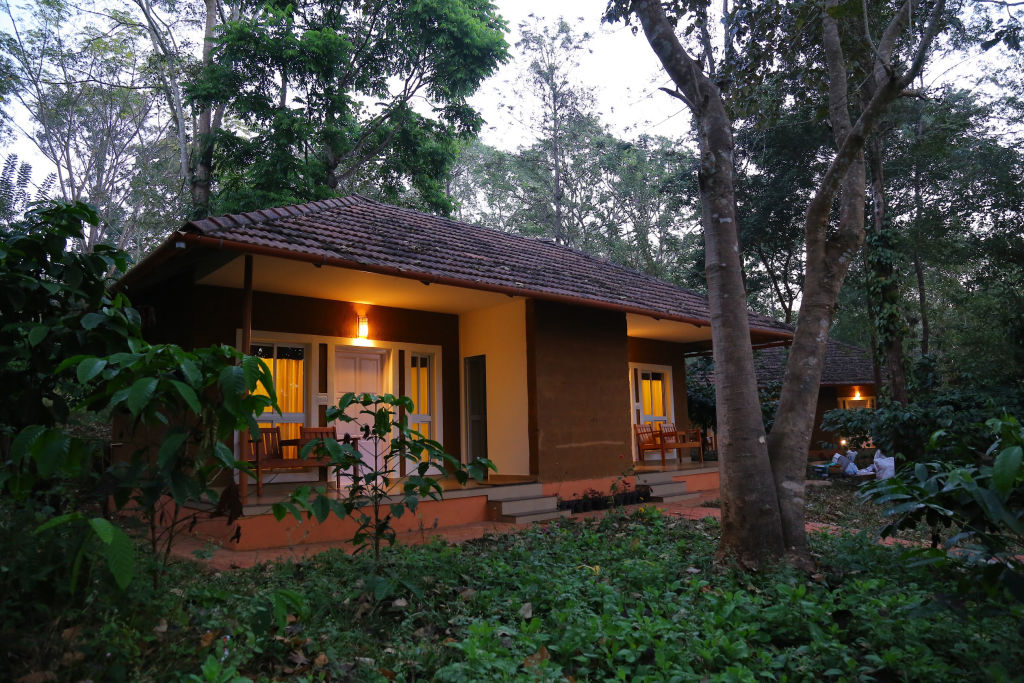
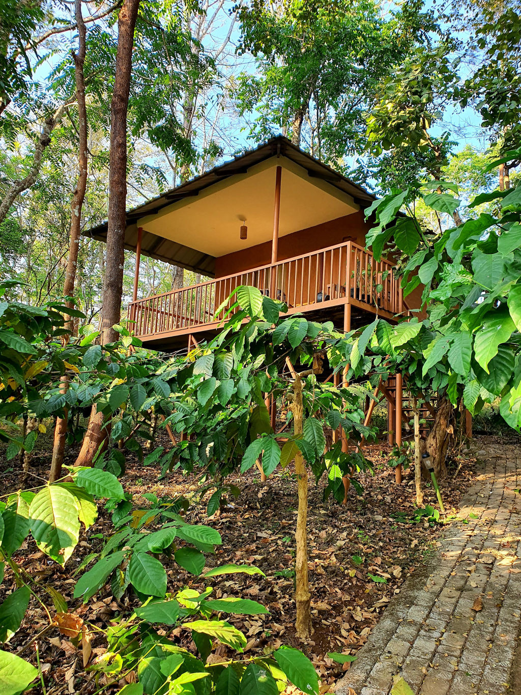
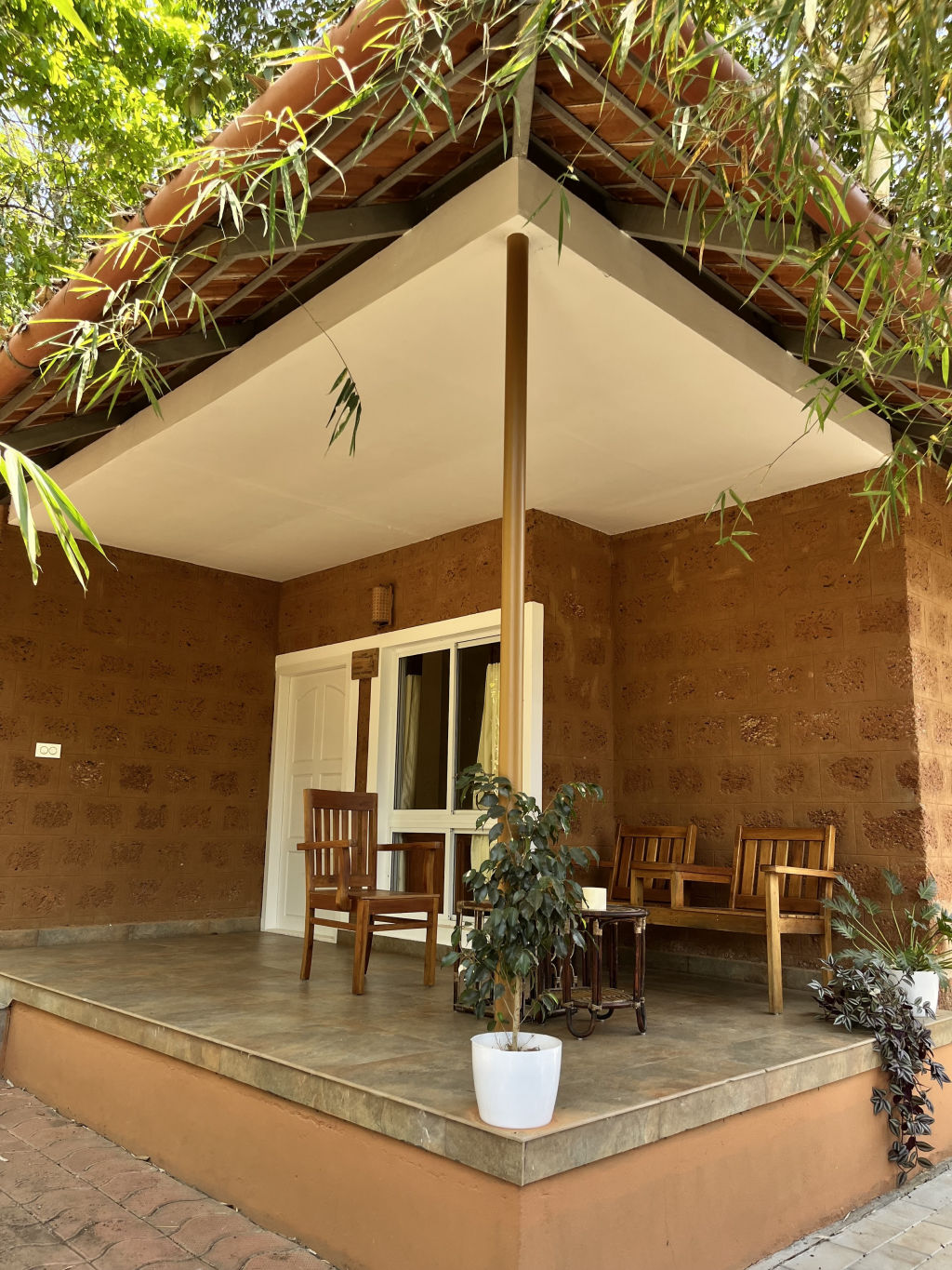
Accommodations around Periya and the broader Wayanad border region cater to travelers who appreciate quiet countryside settings. Options in the area include farm-based homestays nestled among spice and coffee estates, as well as peaceful nature lodges perched along the hillsides.
To find authentic places to stay near Palukachipara, you can explore the listings on HireACamp. The platform features verified homestays, nature retreats, and outdoor campsites in the region, providing a convenient base for exploring the viewpoint and nearby forests.
Frequently asked questions
What kind of terrain is the hike to Palukachipara?
The trail begins as an unpaved country track passing plantations and scrub before ascending onto bare granite rock ledges near the summit.
How long does it take to reach the top of Palukachipara?
The walk typically takes between thirty to forty-five minutes at an easy pace, depending on your fitness level and your exact starting point.
Are there entry fees or specific timings for Palukachipara?
Palukachipara is an open natural viewpoint, but travelers should check locally for any updated entry guidelines and plan their visit during daylight hours.
Is Palukachipara suitable for children and older adults?
Active children and older adults with basic walking fitness can manage the trail, though care is needed on the steeper and uneven rock slabs near the top.
What should I carry when visiting Palukachipara?
Carry plenty of drinking water, comfortable footwear with good traction, sun protection, and a small bag to pack out all your trash.
Where you'll be
Kerala · 9 stays nearby shown with prices
Stays near Palukachipara
Book a place to stay close by

More places near Palukachipara
Within 20 km


Built from 0 Instagram posts by 0 creators. Every tip links back to the post it came from, and where creators disagree we show both sides.






