
Panchgani
Villages & Neighbourhoods in Maharashtra
3 posts · 2 sourced tips
Guide from 3 posts by 3 creators
@explor_with_alam, @explurger.app and 1 other
Loved by 3 creators
3 posts on Instagram.
Panchgani Travel Details
Travel distance and estimated road duration for traveling to Panchgani from Mumbai.
Good to know
Tips from creators' posts. Each one links to its source.
Getting There
Creators reported the road distance from Mumbai to Panchgani to be between 242 km and 244 km, with road travel taking approximately 5 to 6 hours.
Reports differSource
Getting there
By road
- From Pune2 hr 30 min · 101 km
- From Mumbai 4 hr 35 min · 242 km
- From Nashik7 hr 5 min · 321 km
By train, bus or air
- ChiplunNearest railway station3 hr 5 min · 119 km
- Khed MSRTC Bus StandNearest bus stand2 hr 35 min · 92 km
- Pune International AirportNearest airport2 hr 50 min · 111 km
Typical drive times without traffic. Places, distances and typical drive times from OLA Maps; notes from creators' Reels.
Panchgani and Surrounding Region Itinerary
A practical travel plan exploring Panchgani and nearby highlights across the Sahyadri mountains, including the scenic fort ridges near Wai, the Dhom reservoir backwaters, and the plateau and waterfall circuit of Satara.
Satara Plateau and Waterfalls Day Trip
Best for travellers interested in seasonal wildflower landscapes, waterfalls, and regional viewpoints south of Panchgani
Day 1
Kaas Plateau and Satara Sights
morning
Kaas plateauAbout 2 hr
During the monsoon from August to October, wildflowers bloom across the plateau. Entry tickets cost ₹200 per person and can be booked online via Kas.ind.in.
midday
Thoseghar WaterfallAbout 1 hr 30 min · 14 km from the last stop
Located about 40 km or a 1-hour drive from Kaas Plateau. Reaching the viewpoint requires a 15 to 20-minute walk, with an entry fee of ₹50 per person.
afternoon
Urmodi Dam View PointAbout 30 min · 8.2 km from the last stop
Located roughly 11 km from Thoseghar waterfalls on the left side of the road during the return journey.
evening
Sajjangad FortAbout 1 hr 30 min · 1 km from the last stop
Reaching the fort involves climbing 220 steps from the parking area. The complex houses the Samadhi Mandir of Samarth Ramdas Swami.
- Driving to Panchgani from Mumbai takes approximately 5 to 6 hours over a road distance of 242 km to 244 km.
- For Kaas Plateau, reserve entry tickets in advance at ₹200 per person via Kas.ind.in, especially if visiting during the blooming period between August and October.
- When visiting Thoseghar Waterfall, allocate time for a 15 to 20-minute walk from the entrance area to the viewpoint, and expect an entry fee of ₹50 per person.
- Visitors to Sajjangad Fort must be prepared to climb 220 steps up from the vehicle parking area.
Visit lengths are suggestions; distances are straight-line between stops.
About Panchgani
Written with AI from creators' posts and map data. Check prices and timings locally before you go.
About Panchgani and its landscape
Panchgani derives its name from the five undulating hills of the Sahyadri range that envelop it. Located in the Satara district of Maharashtra, this elevated town sits above the Krishna River valley and has long served as a peaceful retreat from the bustling lowlands. The surrounding topography is defined by flat-topped volcanic plateaus, dense patches of semi-evergreen forest, and terraced slopes where agriculture thrives.
The region is especially famous for strawberry farming, which blankets the stepped hillsides during the cooler months. The climate here is notably milder than the coastal plains, marked by crisp mountain air and gentle valley breezes. Over the decades, Panchgani grew into a notable center for residential education and quiet hillside living, maintaining a slower, greener rhythm compared to neighboring commercial hubs. Today, visitors arrive to wander along its broad walking tracks, take in sweeping valley vistas, and breathe in the calm atmosphere of the Western Ghats.
Things to do in Panchgani
A visit to Panchgani usually centers on its elevated viewpoints and open landscapes. Just one kilometer from the main town center lies Table Land, a massive flat lateral rock plateau that ranks among the longest of its kind in Asia. Walking across this vast expanse provides uninterrupted, 360-degree views of the valleys, forested ridges, and scattered hamlets below. Sunrise and sunset from the edge of the plateau are particularly striking, casting warm light across the rugged landscape.
Beyond walking on the plateaus, visitors can spend time exploring the agricultural traditions of the area. Walking along the hillside paths reveals strawberry patches and fruit orchards, where seasonal produce is cultivated in the mineral-rich soil. Exploring the local bazaar offers a chance to experience the everyday pace of the hill town, where bakeries, fresh fruit stalls, and local artisans set the tone. For photographers and nature lovers, wandering the rim trails during the early morning hours provides views of shifting fog banks rolling through the deep river valleys.
Read more
Historic forts and lakes around Panchgani
Venturing just outside the town limits introduces travellers to dramatic water bodies and historic fortifications. Approximately six kilometers away sits Dhom Lake, formed by a dam across the Krishna River. The waters of the reservoir are framed by the imposing backdrop of the surrounding peaks, making the lakeside a peaceful spot to pause, sit by the water, or take in the reflections of the hills during the late afternoon.
Perched above the valleys are the historic vantage points of Kamalgad and Kenjalgad. Kamalgad Fort, located roughly seven kilometers from town, sits on a square-topped hill with steep rock faces that once provided formidable natural defense. A trek up to Kamalgad leads through quiet forest paths and open meadows, culminating in views across the river basin. Kenjalgad, situated about thirteen kilometers away, is an ancient rhomboid-shaped fort known for its massive flat rock surface and stone-cut steps. Trekking to these forts provides a direct connection to the Maratha history that defines the Western Ghats, away from crowded tourist circuits.
Scenic day trips from Panchgani
Panchgani functions as a convenient base for exploring several prominent ecological and cultural destinations across Satara. Around twenty-three kilometers away lies the famous Kaas Plateau, a designated biodiversity hotspot. During the late monsoon season, this volcanic plateau transforms into an expansive carpet of wildflowers, with hundreds of endemic plant species blooming in vibrant hues of purple, yellow, and white.
Further south, about thirty-three to thirty-seven kilometers from town, are Sajjangad Fort, the Urmodi Dam viewpoint, and Thoseghar Waterfall. Sajjangad is a revered hilltop fortress known for its deep spiritual heritage, historic ramparts, and panoramic views of the surrounding rural landscape. Nearby, the viewpoint at Urmodi Dam offers striking perspectives of calm backwaters held by rolling hills. In the same general area, Thoseghar Waterfall cascades down deep ravines during the rainy season, surrounded by dense greenery and swirling mist, making for an immersive day-long journey into the Western Ghats wilderness.
Best time to visit Panchgani
Panchgani offers distinct experiences depending on the time of year you plan your visit. The monsoon season, stretching from late June through September, drenches the hills in continuous rain and mist. During these months, the slopes turn an intense green, seasonal waterfalls emerge along every road cut, and the valleys fill with rolling clouds. While trekking paths can be slick, monsoon is ideal for those who appreciate moody, rain-soaked landscapes.
The winter months from October to February are generally considered the most comfortable for outdoor activities and travel. Days are clear and sunny with mild temperatures, while nights can become surprisingly cool, requiring warm layers. This period also coincides with the strawberry harvesting season, making it a great time for touring local farms. Summer, from March to May, brings warmer daytime temperatures, but the high elevation ensures that evenings remain noticeably cooler and less humid than the coastal cities.
How to reach Panchgani
Panchgani is well connected to major cities in Maharashtra via well-maintained regional and national highways, making it a favorite destination for road trips. From Pune, the distance is approximately 101 kilometers, which typically takes around 2 hours and 30 minutes under normal traffic conditions. The drive from Pune winds through the smooth stretches of the national highway before climbing the scenic Wai-Panchgani ghat road.
Travelers heading from Mumbai have a road distance of roughly 242 to 244 kilometers. While standard traffic-free estimates suggest a drive time of around 4 hours and 30 minutes, real-world travel reported by road trippers generally takes between 5 and 6 hours depending on city exits, highway volume, and the ascent up the ghats. From Nashik, the journey covers roughly 321 kilometers and usually requires about 7 hours and 10 minutes of driving. The ghat sections leading up into the hills feature gentle curves and broad viewpoints, though drivers should maintain cautious speeds during rains when fog reduces visibility.
Where to stay in Panchgani
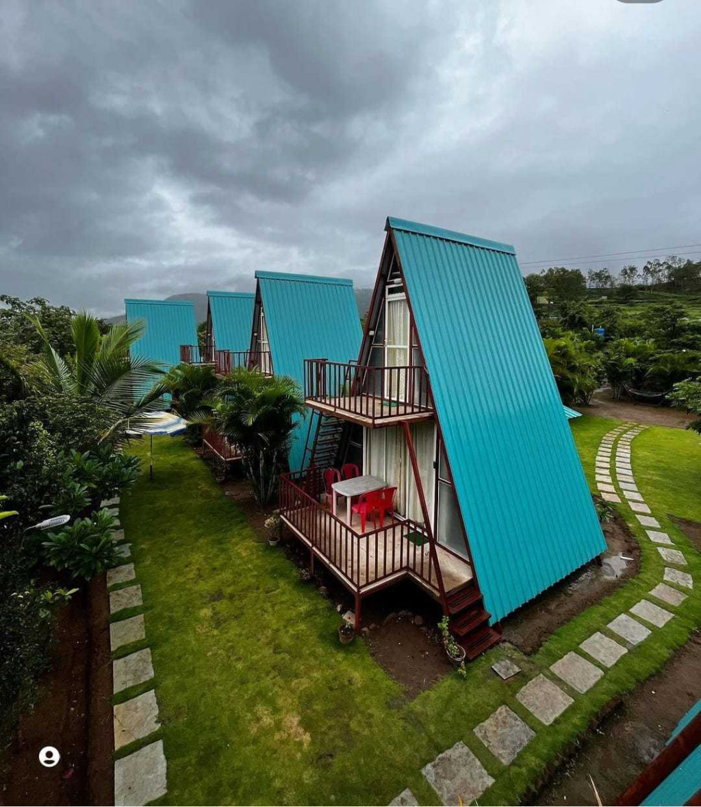
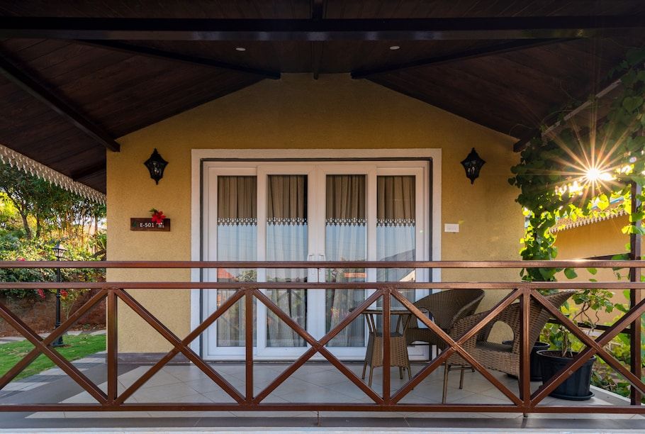
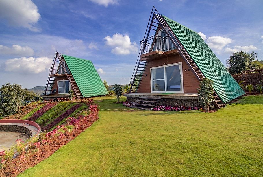
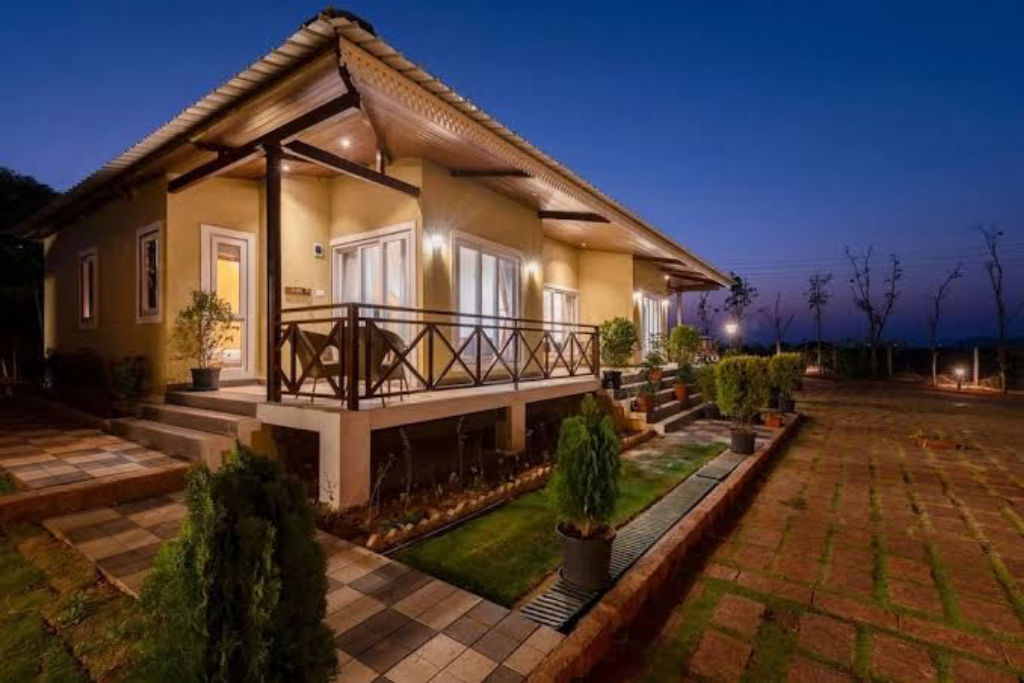
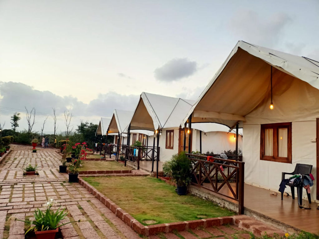
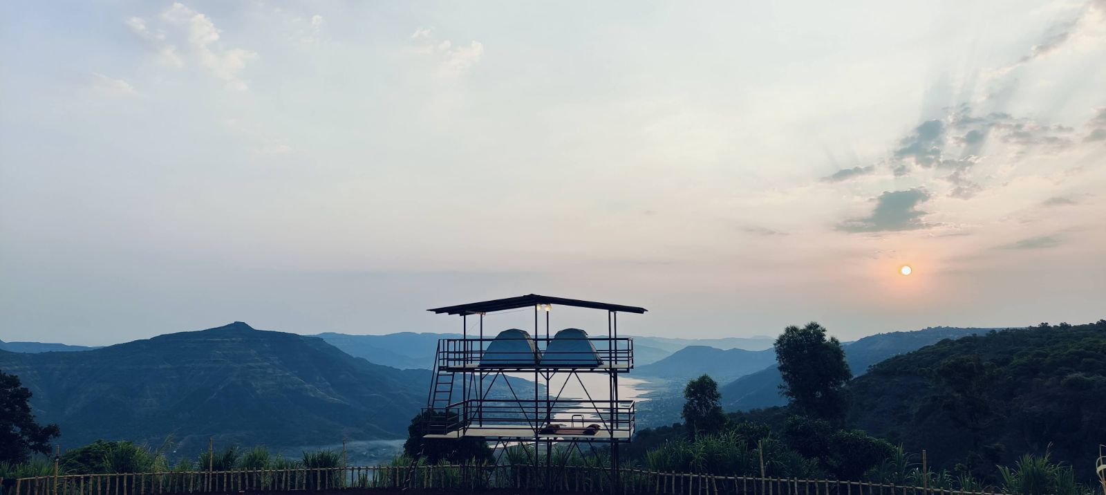
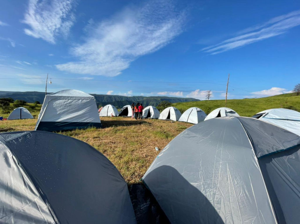
Choosing the right base in Panchgani depends on whether you prefer staying close to town conveniences or secluded in the countryside. The hills and valleys surrounding the town host a variety of stays that cater to outdoor enthusiasts, families, and quiet getaways.
Travelers can find independent farm stays, riverside camps, and quiet homestays tucked into orchard valleys or along the ridges on HireACamp. Staying just outside the main settlement allows you to wake up to valley birdsong, enjoy open horizons away from vehicular traffic, and spend evenings under unpolluted, starry skies before setting out to explore the plateaus the next morning.
Frequently asked questions
How far is Panchgani from Mumbai, and how long does the drive take?
The road distance from Mumbai to Panchgani is between 242 km and 244 km. While traffic-free driving is estimated at around 4 hours and 30 minutes, real-world road travel typically takes between 5 and 6 hours.
What is Table Land in Panchgani?
Table Land is a massive volcanic lateral plateau situated just one kilometer from the center of Panchgani. It offers extensive walking trails and panoramic views across the valleys and hills of the Western Ghats.
Which historic forts are located near Panchgani?
Kamalgad Fort and Kenjalgad are two prominent fortifications located within seven to thirteen kilometers of Panchgani, both offering rewarding hikes and sweeping views of the surrounding river valleys.
What is the best season to explore Panchgani?
The winter months from October to February provide clear skies, comfortable daytime weather, and chilly nights ideal for outdoor exploration and strawberry season. Monsoons from June to September are preferred by visitors looking for lush greenery, mist, and waterfalls.
Are there good day trips from Panchgani?
Yes, travellers frequently take day trips to Dhom Lake, the floral sanctuary of Kaas Plateau, Sajjangad Fort, and Thoseghar Waterfall, all located within a short drive of the town.
Where you'll be
7 stays nearby shown with prices
As seen on Instagram
The posts this guide is built from
Stays near Panchgani
Book a place to stay close by
Things to do in Panchgani
48 places creators recommend within 30 km


Lists for this area
Ranked by how many creators recommend each place


Built from 3 Instagram posts by 3 creators. Every tip links back to the post it came from, and where creators disagree we show both sides. Guide updated 22 Oct 2026.


