
Rangit River
Riverside spot near Bijanbari, Sikkim
200 m from Bijanbari
The nearest town, for stays, food and fuel.
The Rangit River is a perennial mountain river flowing through deep forested valleys along the border of West Bengal and Sikkim, near Bijanbari and Naya Bazar. Known for its clear turquoise waters, wide stony banks, and temperate valley climate, it attracts travellers seeking riverside walks, nature photography, and quiet mountain scenery. It offers a relaxed outdoor escape within easy travelling distance of the bustling ridge towns of the Eastern Himalayas.
Getting there
By road
- From BijanbariNearest town2 min · 400 m
Typical drive times without traffic. Stations and airports from OLA Maps; distances and typical drive times from OpenStreetMap (© OpenStreetMap contributors); notes from creators' Reels.
About Rangit River
Written with AI from map data and general knowledge. Check prices and timings locally before you go.
The landscape of Rangit River
The Rangit River, also spelled Rangeet, is one of the most prominent watercourses in the Eastern Himalayas. Originating from the high glacial melts of western Sikkim, the river carves a dramatic path through rugged gorges, verdant ridges, and terraced mountain foothills. In the stretch that winds past Bijanbari and Lower Relling, down the valley slopes from Darjeeling, the riverbed widens into open stony expanses framed by dense stands of bamboo, sal, and pine. The river serves as a prominent geographic feature of the region, defining parts of the state boundary between Sikkim and West Bengal.
Unlike the cold and mist-shrouded ridgelines of higher hill stations, the river basin enjoys a milder, warmer climate throughout most of the year. The sound of water crashing against water-worn boulders creates a steady acoustic backdrop, accompanied by forest birds and riverine wildlife. The water itself changes character across the seasons, shifting from an intense glacial green in the dry months to a powerful mountain torrent during the monsoon. The valley provides an open, sunlit environment that contrasts with the steep and narrow urban corridors of nearby hill settlements.
Things to do at Rangit River
Spending time along the Rangit River is centered on outdoor exploration and slow travel. Many visitors come to walk along the wide pebble beaches and boulder fields that line the banks, taking in the mountain breeze and observing the clear water coursing through the valley. The shoreline is well suited for quiet nature walks, personal sketching, or reading by the water in the shade of broadleaf trees. Photographers find rich subjects in the moving currents, the play of morning light against the canyon walls, and the traditional suspension bridges that occasionally span the water.
Birdwatching is another rewarding pursuit in the valley, where the mix of forest cover and open water attracts diverse resident and migratory species. Visitors can regularly spot white-capped redstarts, plumbeous water redstarts, forktails, kingfishers, and various river wagtails darting among the rocks. Exploring the surrounding hamlets of Bijanbari and Lower Relling provides insight into rural hill agriculture, where terraced fields of ginger, cardamom, and seasonal vegetables climb up from the riverbanks. For those who enjoy village walks, gentle trails connect the riverbed with nearby hamlets and hillside farms.
Read more
Best time to visit Rangit River
The ideal time to visit the Rangit River is during the post-monsoon and dry months, which span from October through May. Autumn, running through October and November, is widely considered the prime window for travel. During this time, the river sheds its silt and returns to a transparent turquoise hue, the weather is stable and bright, and daytime temperatures in the valley remain pleasantly comfortable.
Spring, from March through May, is another appealing season. As temperatures rise across the Himalayan foothills, the valley warms up, trees flush with fresh leaves, and surrounding orchards and wild shrubs begin to bloom. Winter days from December to February are cool and clear, offering crisp mountain air and calm water conditions, though mornings and evenings can feel quite sharp beside the river. The monsoon season from June to September is not recommended for riverside travel. Heavy rainfall across the Himalayan catchments causes the river to swell significantly, resulting in fast, brown currents and raising the risk of landslides along access roads.
How to reach Rangit River
The Rangit River valley around Bijanbari and Lower Relling can be reached by road from the plains of West Bengal or from nearby hill towns. The closest major transit points are Bagdogra Airport and New Jalpaiguri Railway Station (NJP) in Siliguri. From Siliguri, travellers can hire private taxis or board shared mountain jeeps heading towards Ghoom, Darjeeling, or Bijanbari. The drive winds through foothill forests and tea gardens before descending into the valley.
If travelling from Darjeeling town, the journey descends steeply from the central ridge, passing tea estates and rural villages on its way down to the riverbed. The drive takes around one to two hours depending on local traffic and mountain road conditions. The river is also easily accessible from the town of Naya Bazar in western Sikkim, connected via border roads and river bridges. Because mountain roads in this area feature sharp turns and variable surface conditions, hiring an experienced local driver is recommended.
Places to visit near Rangit River
A trip to the Rangit River can be combined with visits to several prominent landmarks in the surrounding hills. Moving up the slopes toward the Darjeeling ridge brings travellers to the Rock Garden and Ganga Maya Park, where landscaped stone terraces and natural waterfalls tumble down steep cliffs. Slightly higher up, the Darjeeling Ropeway provides sweeping aerial panoramas across tea gardens, forested ravines, and the distant river basin below.
Further along the ridge, the Japanese Buddhist Temple and the Peace Pagoda provide a serene setting with panoramic views across the peaks and valleys. Travellers interested in wildlife and mountaineering heritage can visit the Padmaja Naidu Himalayan Zoological Park and the adjacent Himalayan Mountaineering Institute. On the southern ridge, the historic Batasia Loop offers views of the narrow-gauge Darjeeling Himalayan Railway tracks circling through manicured gardens against a backdrop of distant peaks.
Tips for your visit
Visiting the Rangit River requires careful attention to safety and natural preservation. Mountain river currents are often much stronger than they appear from the surface, with concealed undercurrents and steep drop-offs beneath the waterline. Swimming is strongly discouraged unless in very shallow, verified safe pools designated by local residents. Always wear footwear with sturdy rubber soles, as the river rocks and wet pebbles are frequently slippery with moss and silt.
Because the valley sits considerably lower in altitude than the hill ridges above, it experiences higher daytime temperatures, making sun protection, a hat, and plenty of drinking water necessary during walks. In the late afternoon, however, the sun disappears behind the ridges early, leading to a swift drop in temperature, so carrying a warm layer is wise. Visitors should practice leave-no-trace ethics by carrying out all waste, avoiding the use of chemical detergents in the water, and respecting local farming communities.
Where to stay near Rangit River
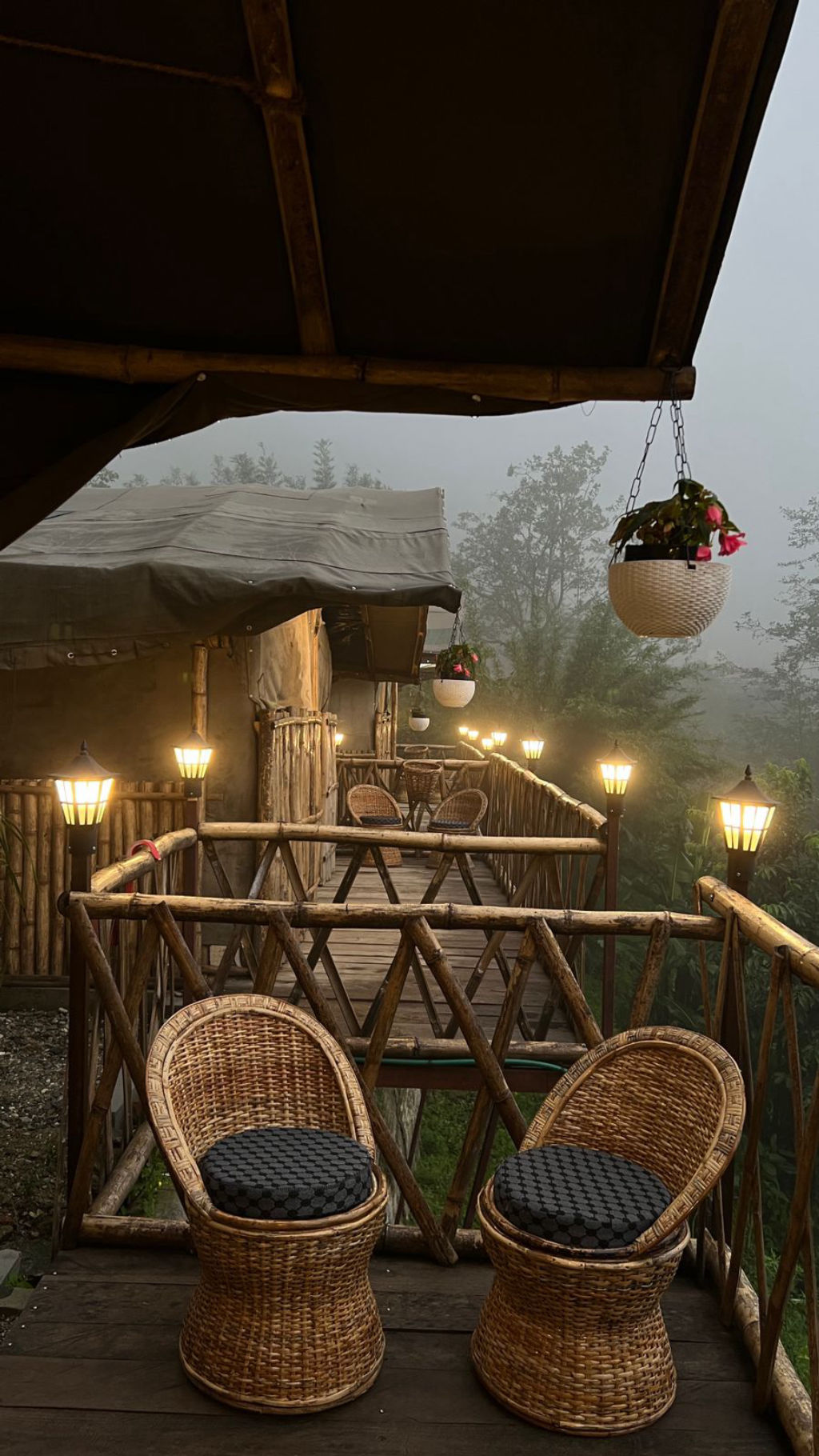
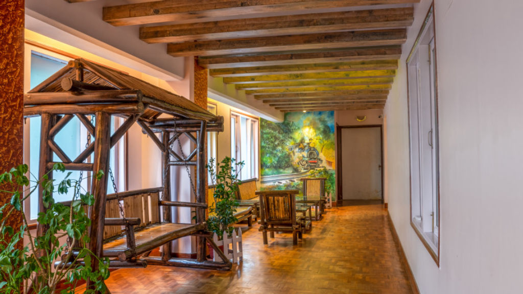
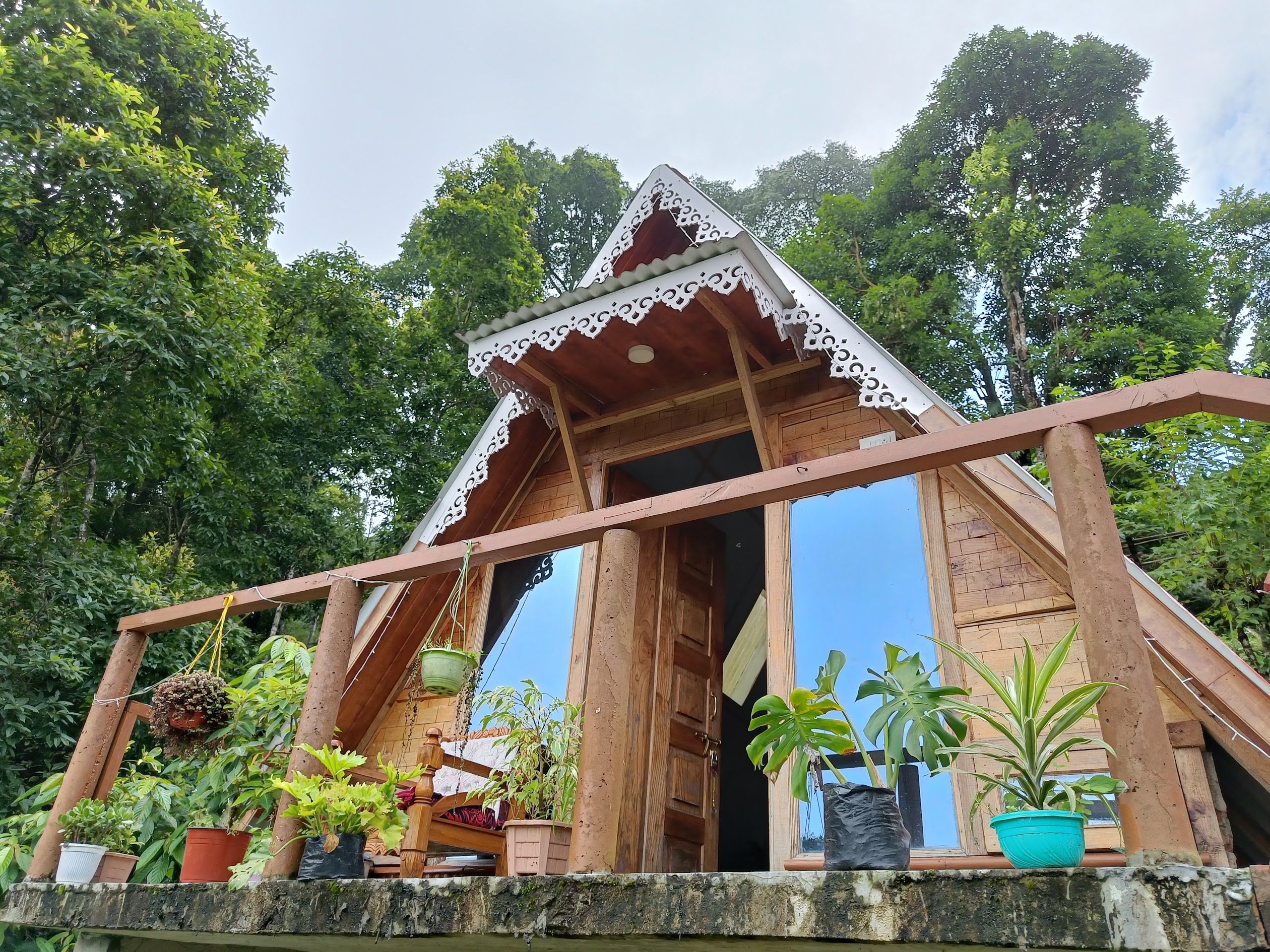
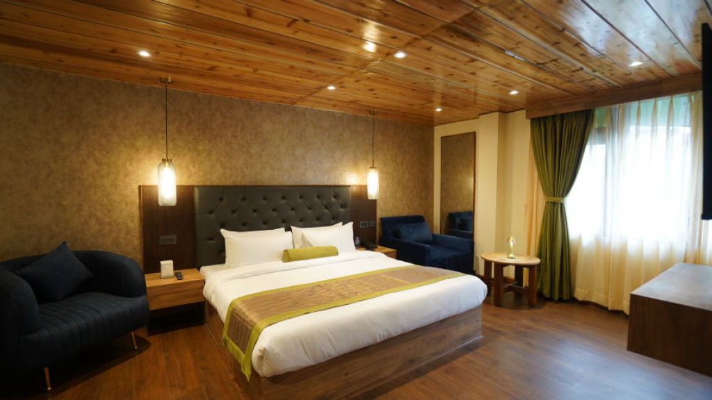
Staying near the Rangit River offers a relaxed, nature-centric alternative to the crowded urban hotels found along the upper hill ridges. The valley floor and surrounding hillside hamlets such as Bijanbari and Lower Relling host an array of comfortable village homestays, riverside retreat cottages, and rustic outdoor camps that allow guests to fall asleep to the sound of rushing water.
These valley accommodations provide an immersive rural experience, often featuring home-cooked meals prepared with organic produce grown on adjacent farms. Travellers interested in riverside camping, peaceful farm stays, or traditional family-run homestays around the Rangit River basin can discover and book a wide variety of vetted properties through HireACamp.
Frequently asked questions
Can you swim in the Rangit River?
Swimming in the Rangit River is generally unsafe due to powerful undertows, cold mountain runoff, and submerged boulders. Travellers should limit themselves to wading along shallow, calm edges where local conditions allow.
Where is the Rangit River located?
The Rangit River flows through western and southern Sikkim and forms part of the border with West Bengal, accessible near settlements such as Bijanbari, Lower Relling, and Naya Bazar.
How far is the Rangit River from Darjeeling?
The river valley sits roughly twenty to thirty kilometres downhill by road from Darjeeling town. The drive down the winding mountain roads typically takes between one to two hours.
Is the Rangit River accessible during the monsoon?
While roads remain technically open, visiting the river during the monsoon between June and September is not recommended. Heavy rains swell the river into a hazardous brown flood and increase the risk of roadside landslides.
What should I wear when visiting the Rangit River?
Wear sturdy shoes with good traction for walking over uneven river gravel and rocks. Dress in breathable clothing suitable for daytime warmth, but bring a light jacket or fleece for cooler late afternoons.
Where you'll be
Bijanbari Lower Relling, Darjeeling Pulbazar, WB · 6 stays nearby shown with prices
Stays near Rangit River
Book a place to stay close by

More places near Rangit River
Within 20 km


Lists for this area
Ranked by how many creators recommend each place


Built from 0 Instagram posts by 0 creators. Every tip links back to the post it came from, and where creators disagree we show both sides.






