
Sigur Plateau
Nature near Kodanadu, Tamil Nadu
13 km from Kodanadu
The nearest town, for stays, food and fuel.
Sigur Plateau is an ecologically significant wildlife corridor situated in the northern foothills of the Nilgiris District in Tamil Nadu. Connecting the Western Ghats and Eastern Ghats, this expansive landscape of deciduous forests and open scrub is renowned for its rich biodiversity and critical elephant migration routes. Travellers and nature enthusiasts visit to experience pristine wilderness, observe native wildlife, and explore the rugged terrain of the Nilgiri biosphere.
Getting there
By road
- From KodanaduNearest town1 hr 20 min · 44 km
- From Coimbatore2 hr 55 min · 98 km
- From Mysuru3 hr 55 min · 173 km
- From Bengaluru6 hr 5 min · 318 km
Typical drive times without traffic. Stations and airports from OLA Maps; distances and typical drive times from OpenStreetMap (© OpenStreetMap contributors); notes from creators' Reels.
About Sigur Plateau
Written with AI from map data and general knowledge. Check prices and timings locally before you go.
About Sigur Plateau
Sigur Plateau spans the northern slopes of the Nilgiri Hills in Tamil Nadu, serving as an indispensable ecological bridge connecting the Western Ghats with the Eastern Ghats. This elevated plateau sits at a lower altitude than the surrounding Nilgiri hill stations, resulting in a distinct climate and habitat compared to the high-elevation shola grasslands and tea estates nearby.
The plateau forms a vital part of the Nilgiri Biosphere Reserve and is celebrated as one of the most critical wildlife corridors in the subcontinent. Historically, it has sustained pastoralist and indigenous communities alongside free-ranging wildlife populations. Because it links the protected habitats of Mudumalai, Bandipur, and Sathyamangalam, the plateau is vital for genetic exchange among large mammals. Visitors to Sigur Plateau encounter a rugged, untamed landscape that highlights the ecological complexity of southern India.
Landscape and Wildlife of Sigur Plateau
The terrain of Sigur Plateau is defined by tropical dry deciduous forests, thorny scrub woodlands, and dramatic rocky outcrops dissected by seasonal streams and rivers like the Moyar. The rain shadow effect of the towering Nilgiri massifs keeps the plateau significantly drier than the windward western slopes, creating a unique microclimate where acacia, bamboo thickets, and hardy grasslands thrive.
This distinct environment supports exceptional biodiversity. Sigur Plateau is famous for harbouring large herds of Asian elephants, which move across the corridor following ancient migratory routes. It is also home to apex predators including the Bengal tiger, Indian leopard, and dhole, alongside herbivores such as chital, sambar, four-horned antelope, and gaur. The scrubland is particularly notable for birdwatchers, offering sightings of rare raptors, several species of endangered vultures, Indian nightjars, and dry-zone songbirds.
Read more
Best Time to Visit
The post-monsoon and winter months, running from October to March, provide the most comfortable conditions for exploring Sigur Plateau and the surrounding foothills. During this period, daytime temperatures remain moderate and pleasant, and the post-monsoon greenery offers scenic backdrops across the valley.
The dry summer months between March and May bring rising temperatures and an arid environment, but they also draw wildlife out toward the remaining waterholes and the perennial waters of the Moyar River, making wildlife tracking rewarding for dedicated enthusiasts. The southwest monsoon from June to September brings intermittent showers to the lower plateau, reviving seasonal streams and giving the landscape a brief flush of green. Depending on whether you prefer cooler weather or higher chances of wildlife sightings around water sources, your travel window can be planned accordingly.
Things to Do around Sigur Plateau
Wildlife watching and birding form the cornerstone of any excursion across Sigur Plateau. Early morning and late afternoon drives along the public transit routes through the plateau provide opportunities to spot ungulates, raptors, and occasional pachyderms moving through the scrub. Observing vultures and birds of prey circling the thermals near the gorges is an activity favoured by birding groups.
Nature photography is particularly rewarding here due to the open horizons, ancient geological formations, and dramatic backdrops provided by the Nilgiri escarpments towering overhead. Visitors often spend time exploring surrounding nature viewpoints, riverbanks, and secondary routes that weave along the boundary of the forested tracts, absorbing the tranquil atmosphere of the remote Nilgiri foothills.
How to Reach Sigur Plateau
Sigur Plateau is accessed primarily via the hill routes descending from Udhagamandalam and Kotagiri, or by driving south from Mysore and Bandipur via Gudalur and Masinagudi. The famous Kalhatty ghat road descends sharply from Ooty toward the plateau with dozens of hairpin bends, offering magnificent views over the plains below. Kotagiri, situated around an hour and a half away depending on road conditions, serves as a serene base on the Nilgiri hills from which day excursions to the lower slopes can be organized.
The nearest major airport and broad-gauge railhead is in Coimbatore, approximately 90 to 110 kilometres away depending on the approach route. Taxis and private rental vehicles can be hired from Coimbatore, Mysore, or nearby Nilgiri towns. Local bus services also connect peripheral settlements with nearby hubs, though having private transport gives greater flexibility for exploring transit corridors safely.
Tips for Visiting Sigur Plateau
Because Sigur Plateau is an active, sensitive wildlife corridor, travellers must maintain high environmental awareness and respect local forest regulations. Wildlife, especially wild elephants and solitary tuskers, can be present near roadways at any time of day or night. Never step out of your vehicle in forested or scrub sections, avoid honking, and give animals plenty of space and the right of way.
Night-time travel through wildlife-sensitive roads in the Nilgiri foothills may be restricted or subject to checkpoints established by forest authorities, so it is best to complete your road journeys before dusk. Carry adequate drinking water, sun protection, and a pair of binoculars, as the plateau can get warm under clear skies. Dispose of all waste responsibly and avoid carrying single-use plastics into the region.
Places to Visit Nearby
Travel around the Nilgiris allows you to combine your trip to the plateau with visits to diverse natural and cultural landmarks. Higher up in the hills, Doddabetta Peak, situated around 14 kilometres away in straight-line distance, offers panoramic vistas over the plateau and the entire Nilgiri range. Scenic vantage points such as Lamb's Rock and Dolphin's Nose Road, roughly 19 kilometres away near Coonoor, overlook steep cliffs and verdant tea valleys.
Other notable attractions within comfortable reach include the historic Pykara Lake and Pykara Waterfall, nestled in classic Nilgiri highlands about 21 to 22 kilometres to the west. Near the base of the ghats, Kalhatty Waterfalls cascades down rocky slopes, while regional shrines like the Sakthi Malai Murugan Temple and Hethai Amman Temple offer glimpses into the spiritual heritage of the indigenous Nilgiri communities.
Where to Stay around Sigur Plateau
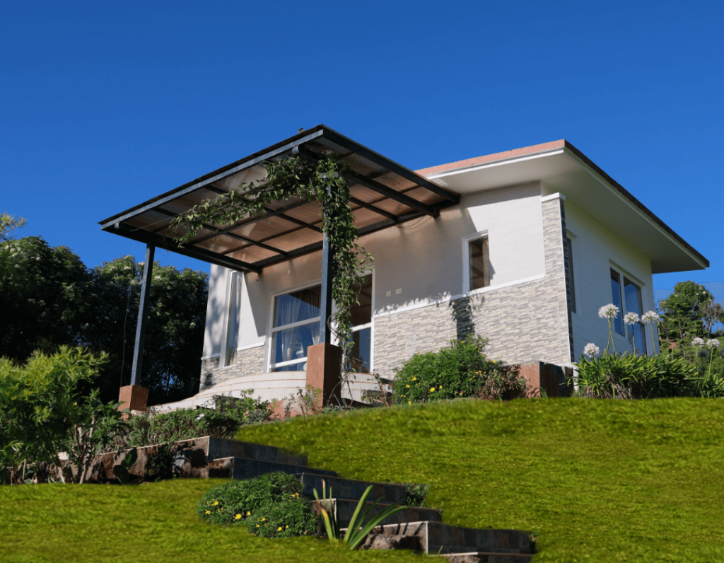
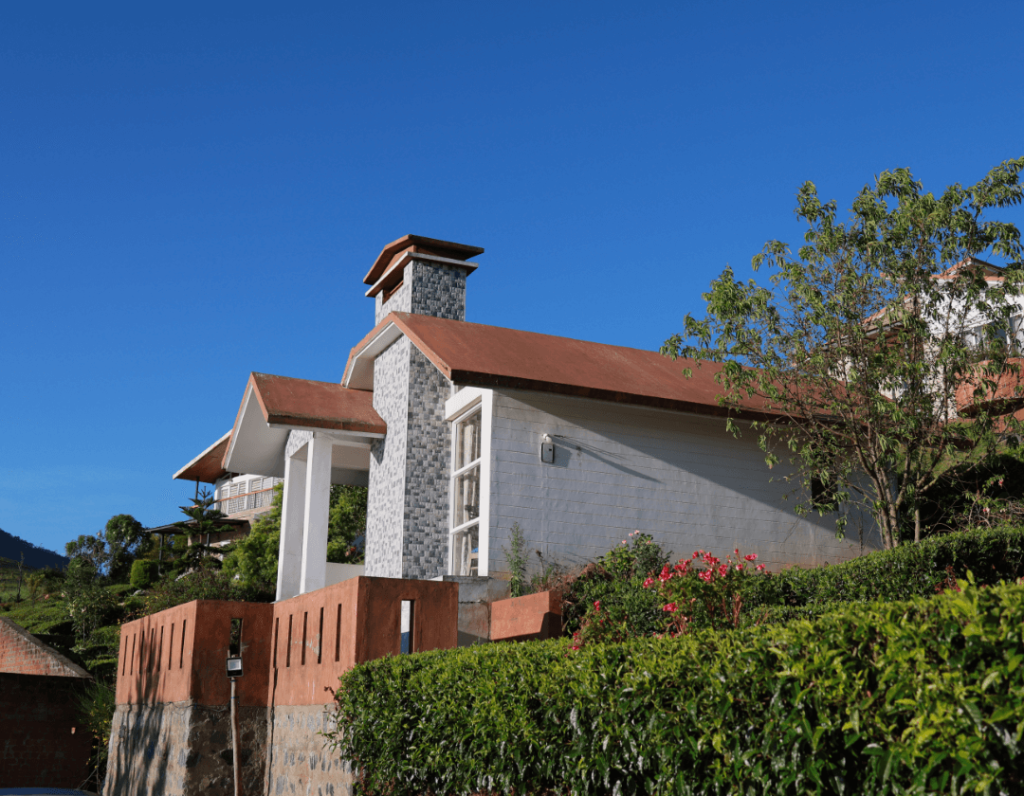
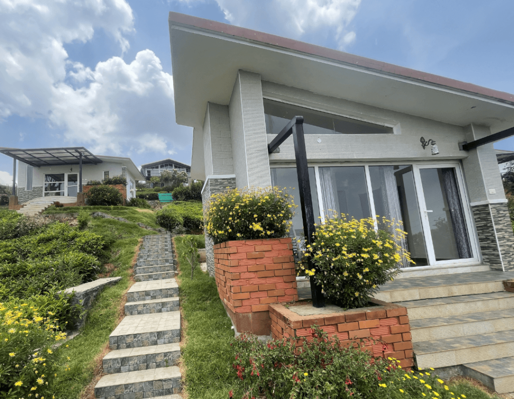
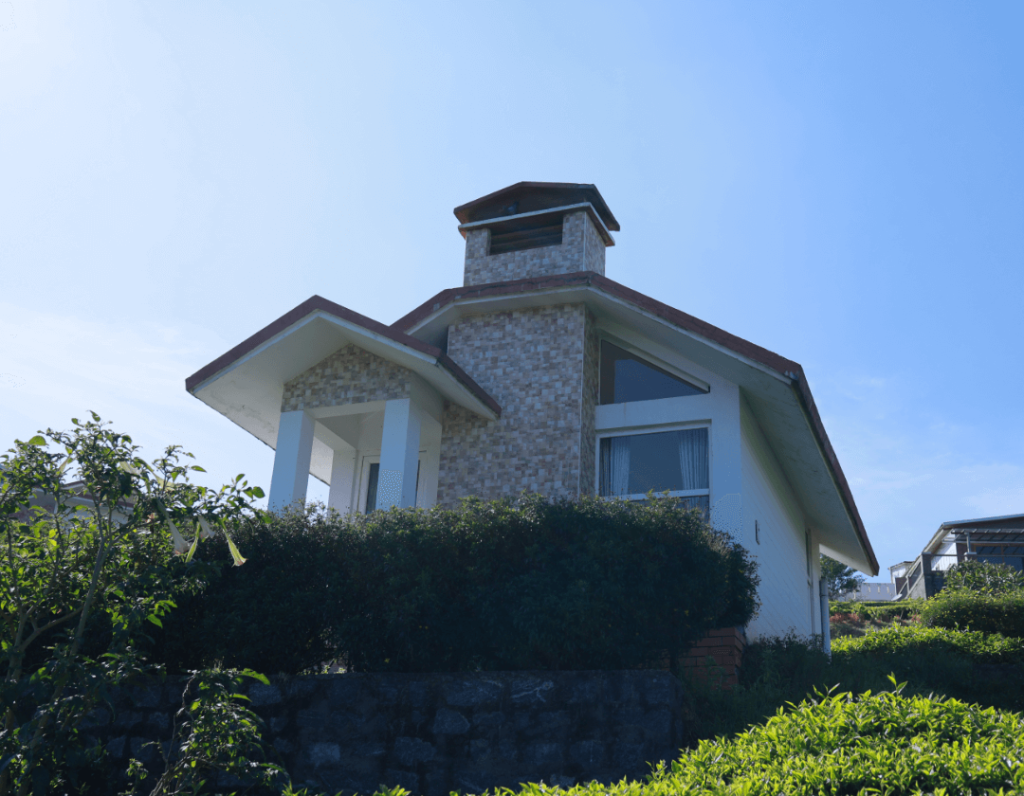
Accommodations around the Sigur Plateau area range from rustic eco-stays and nature retreats situated along the boundary zones to homestays and quiet hillside cottages in nearby towns like Kotagiri and Ooty. Staying on the fringes of the plateau allows travellers to wake up to bird calls and sweeping scrub views, while staying higher up in Kotagiri offers a cooler, misty climate with convenient day-trip access.
You can discover and book verified nature stays, farm cottages, and outdoor camps around the Nilgiri region through HireACamp to suit your travel style and itinerary.
Frequently asked questions
Why is Sigur Plateau ecologically important?
Sigur Plateau acts as a crucial wildlife corridor bridging the Western Ghats and the Eastern Ghats. It supports substantial populations of endangered animals, including Asian elephants and Bengal tigers, and facilitates essential genetic flow between fragmented habitats.
Can visitors take safaris inside Sigur Plateau?
Sightseeing across Sigur Plateau is largely conducted via public roads and designated transit corridors. For structured safaris into protected core areas, visitors should check with local forest department safari centres in the surrounding tiger reserves.
What is the best time of year to visit Sigur Plateau?
The winter months from October to March offer the most comfortable weather for travelling through the plateau. For wildlife spotters, the dry months from March to May can also be rewarding as animals gather near remaining water sources.
Are there travel restrictions on roads across Sigur Plateau?
Yes, forest authorities frequently enforce nocturnal travel restrictions on certain roads passing through wildlife zones to protect animals. Travellers are advised to verify current local checkpoint timings and conclude road travel before sunset.
What should I carry when visiting Sigur Plateau?
Carry plenty of drinking water, a hat, sun protection, and a good pair of binoculars for birding and wildlife viewing. A telephoto lens is helpful for photography, and comfortable clothing suited to warm daytime conditions is recommended.
Where you'll be
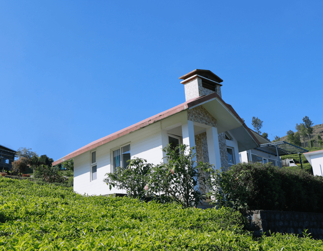
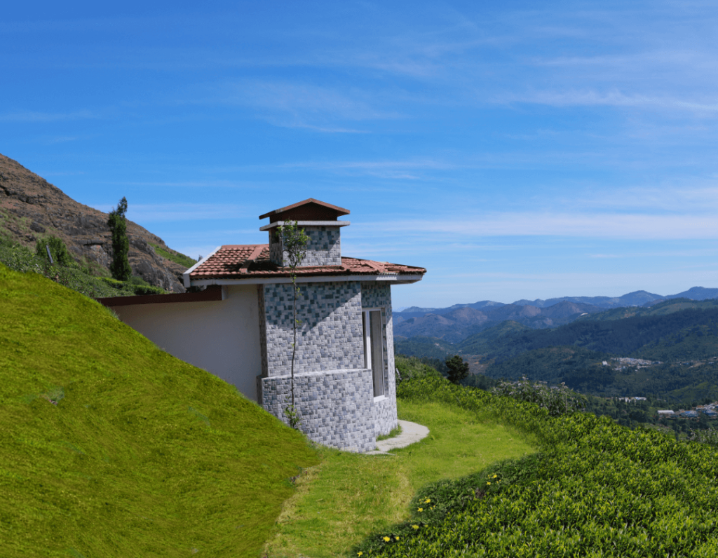
The Nilgiris District, TN · 10 stays nearby shown with prices
Stays near Sigur Plateau
Book a place to stay close by
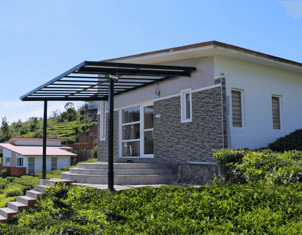
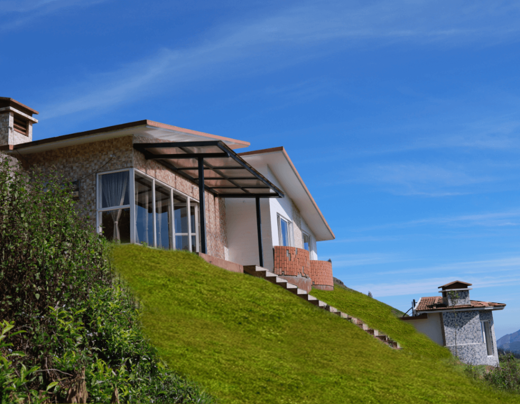
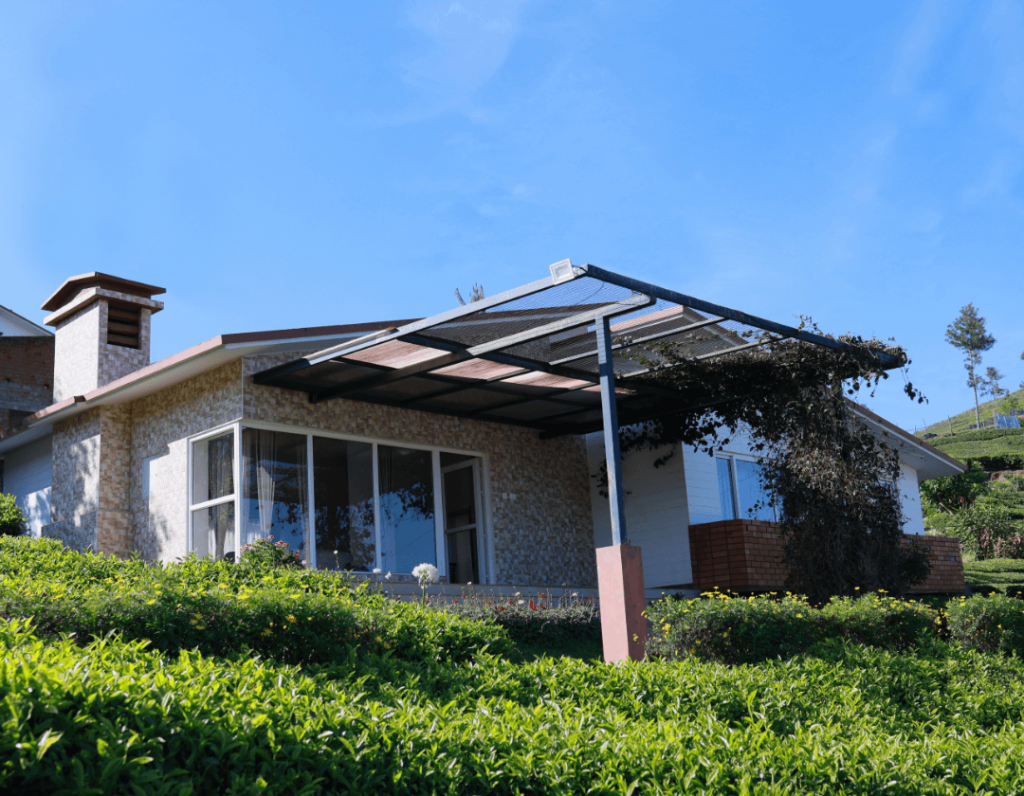
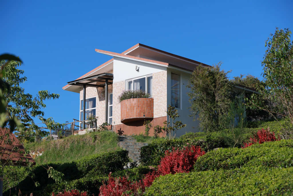
More places near Sigur Plateau
Within 20 km


Lists for this area
Ranked by how many creators recommend each place


Built from 0 Instagram posts by 0 creators. Every tip links back to the post it came from, and where creators disagree we show both sides.






