
Vattavada
Destination in Kerala
Tucked away in the high ranges of Idukki district in Kerala, Vattavada is a tranquil agricultural village celebrated for its terraced slopes and cool mountain weather. Sitting close to the border of Tamil Nadu, it is widely recognized as one of Kerala's primary vegetable-growing hubs, producing crops rarely cultivated elsewhere in the state. Travelers journey here to witness a quiet, pastoral way of life set against sweeping hills, eucalyptus groves, and shola forests.
Getting there
By road
- From Kochi3 hr 40 min · 167 km
- From Madurai4 hr 45 min · 193 km
- From Coimbatore4 hr 50 min · 194 km
- From Thiruvananthapuram7 hr 35 min · 323 km
Typical drive times without traffic. Stations and airports from OLA Maps; distances and typical drive times from OpenStreetMap (© OpenStreetMap contributors); notes from creators' Reels.
Itinerary for Excursions near Vattavada
A practical day itinerary covering the foothills of the Anamalai range near Pollachi, featuring Monkey Falls and Aliyar Dam.
Aliyar and Valparai Foothills Day Trip
Best for scenic lake views, boating, and fresh waterfall bathing
Day 1
Waterfalls and Reservoirs of the Anamalai Foothills
morning
Monkey FallsAbout 1 hr 30 min
Located along the Pollachi-Valparai road. Visitors can bathe directly under the waterfall.
afternoon
Aliyar DamAbout 2 hr · 1.5 km from the last stop
Surrounded by the Anamalai Hills, suitable for picnics, photography, and boating.
- The recommended period to visit Aliyar Dam is between June and February.
- Bathing directly under Monkey Falls is permitted for visitors.
- Aliyar Dam provides facilities for boating and picnics against the backdrop of the Anamalai Hills.
Visit lengths are suggestions; distances are straight-line between stops.
About Vattavada
Written with AI from map data and general knowledge. Check prices and timings locally before you go.
What makes Vattavada special
Vattavada occupies a distinct ecological and cultural niche in the Western Ghats. While much of the surrounding Idukki highlands are dominated by rolling tea plantations, Vattavada unfolds as a patchwork of terraced vegetable farms and fruit orchards. The village sits at an elevation of roughly 1,900 meters above sea level, sheltered by high ridges that endow it with a rain-shadow microclimate distinct from the cloud-draped slopes of Munnar.
This unique geography allows farmers to cultivate cool-season vegetables like cabbage, carrots, garlic, butter beans, and beetroot, alongside orchard fruits such as plums, passion fruit, tree tomatoes, and strawberries. Traditional irrigation channels crisscross the terraced steps, carved into the mountainsides across generations. The blend of Tamil and Malayalam cultural influences is visible in local dialect, village shrines, and farming customs, lending the region a peaceful, timeless atmosphere that feels far removed from commercial tourist centers.
Things to do in Vattavada
The principal joy of visiting Vattavada lies in slowing down and exploring its rural terrain on foot. Walking through the stepped fields gives visitors a firsthand look at traditional hill agriculture. Local farmers are often happy to explain how they manage seasonal crops, and depending on the harvest cycle, visitors can often sample or purchase fresh produce directly from the fields.
For those who enjoy hiking, the ridges around the village provide accessible trails through eucalyptus patches, pine plantations, and natural shola grasslands. Gentle ridge walks offer panoramic viewpoints across the valleys toward the Tamil Nadu plains. Birdwatching is also rewarding, with high-altitude Western Ghats species frequenting the forested margins and stream corridors around the village edges.
Read more
Best time to visit Vattavada
Vattavada enjoys a pleasantly mild to cool climate year-round, but the months between October and March offer the most dependable conditions for outdoor activities. Post-monsoon, from October to November, the surrounding hills are vibrant green, streams are full, and vegetable terraces are freshly planted or nearing harvest.
Winter arrives between December and February, bringing crisp days and noticeably cold nights, with temperatures occasionally dropping into single digits. This is an ideal window for camping and daytime treks under clear blue skies. The summer months from March to May remain relatively temperate compared to the sweltering lowlands, making the village an appealing summer retreat. While the southwest monsoon brings substantial rainfall between June and September, Vattavada receives slightly less precipitation than western-facing valleys, though heavy showers can occasionally cause slippery trail conditions.
Places to explore nearby
A trip to Vattavada naturally incorporates several scenic landmarks along the approach route from Munnar. En route, travelers pass through Mattupetty Dam, Kundala Lake, and Top Station, which offers dramatic views of the Western Ghats dropping precipitously into Tamil Nadu. Pampadum Shola National Park, Kerala's smallest national park, lies just before the descent into the Vattavada valley and preserves valuable shola-grassland ecosystems home to unique wildlife like the Nilgiri marten.
Further down the road network on the western slopes, waterfalls such as Attukad Waterfalls showcase the region's dramatic water features. On the eastern side of the ridgeline lie the dry plains and lower slopes of Tamil Nadu, featuring reservoirs such as Thirumoorthy Dam and Vaigai Dam, as well as the foothill forests around Kumbakkarai Falls. While reaching these eastern sites requires descending through hill roads, they illustrate the sharp climatic contrast between the highlands and the plains.
How to reach Vattavada
Vattavada is typically reached via Munnar, which is approximately 45 kilometers to the west. The drive from Munnar winds past Top Station and through the border checkposts of the shola forest reserves along a scenic, winding mountain road. The route is accessible by private car, taxi, and a limited schedule of state transport buses operating between Munnar and the village.
For air travelers, Cochin International Airport in Kerala and Madurai Airport in Tamil Nadu are the nearest flight hubs. Major railway stations are located at Aluva, Ernakulam, and Madurai. From these transit hubs, driving times to Munnar generally range between four and five hours, followed by roughly one and a half to two hours for the final stretch to Vattavada, depending on road conditions and mountain traffic.
Tips for your visit
Because Vattavada is a working village rather than a commercial resort town, visitors should come prepared with essential supplies. Medical facilities and automated teller machines are limited in the village, so it is wise to carry adequate cash and basic personal medication from Munnar. Fuel stations are not available in Vattavada itself, making it essential to top up your vehicle before leaving Munnar.
Nights can become chilly throughout the year and genuinely cold during the winter, so pack thermal innerwear, a warm fleece, and a wind-resistant jacket. Sturdy walking shoes with good traction are essential for navigating dirt tracks and damp farm terraces. Travelers should also practice responsible tourism by carrying out any non-biodegradable waste, staying strictly on established paths, and seeking permission before photographing local farmers or their private plots.
Where to stay
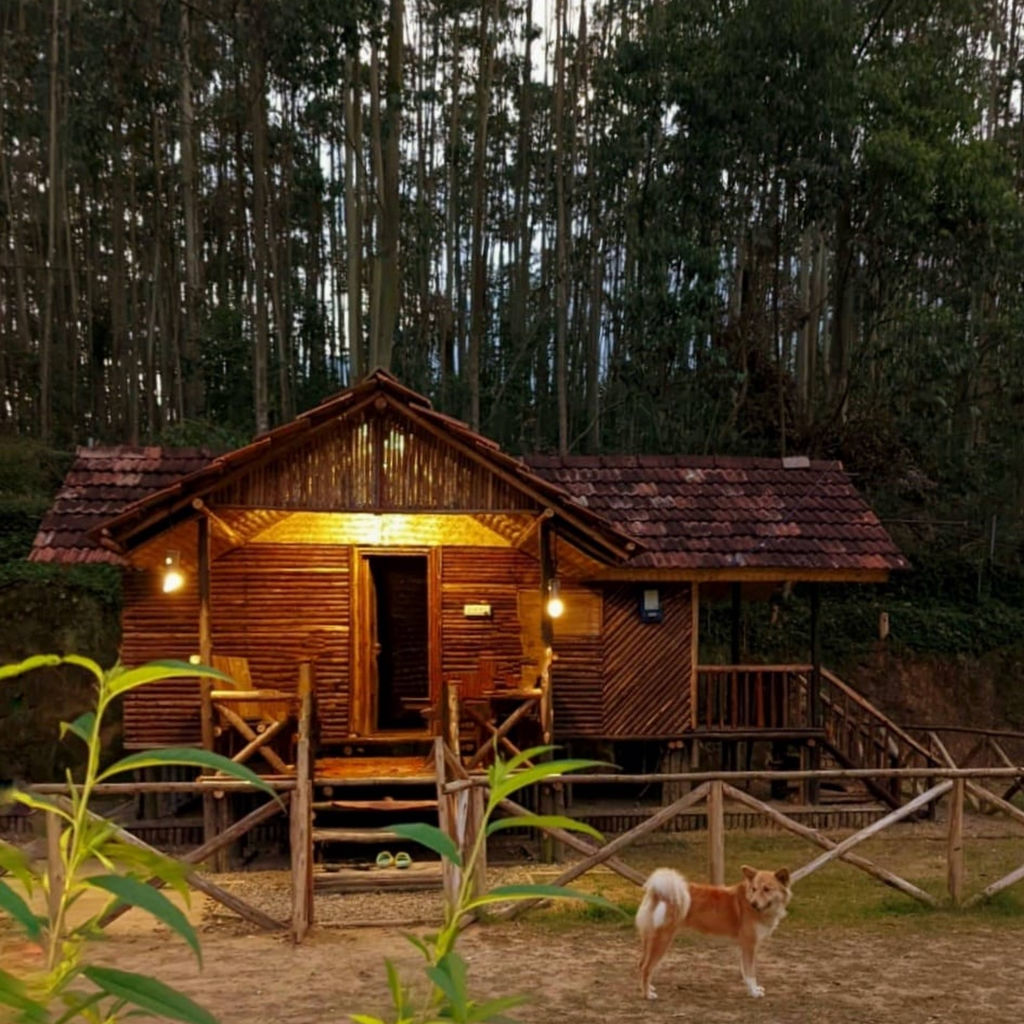
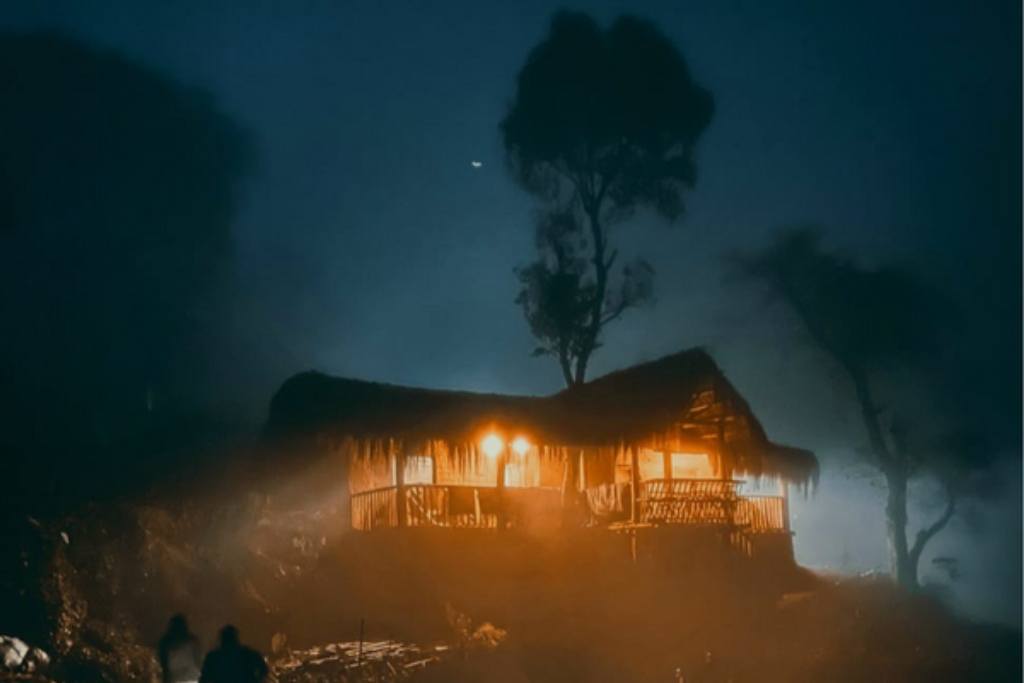
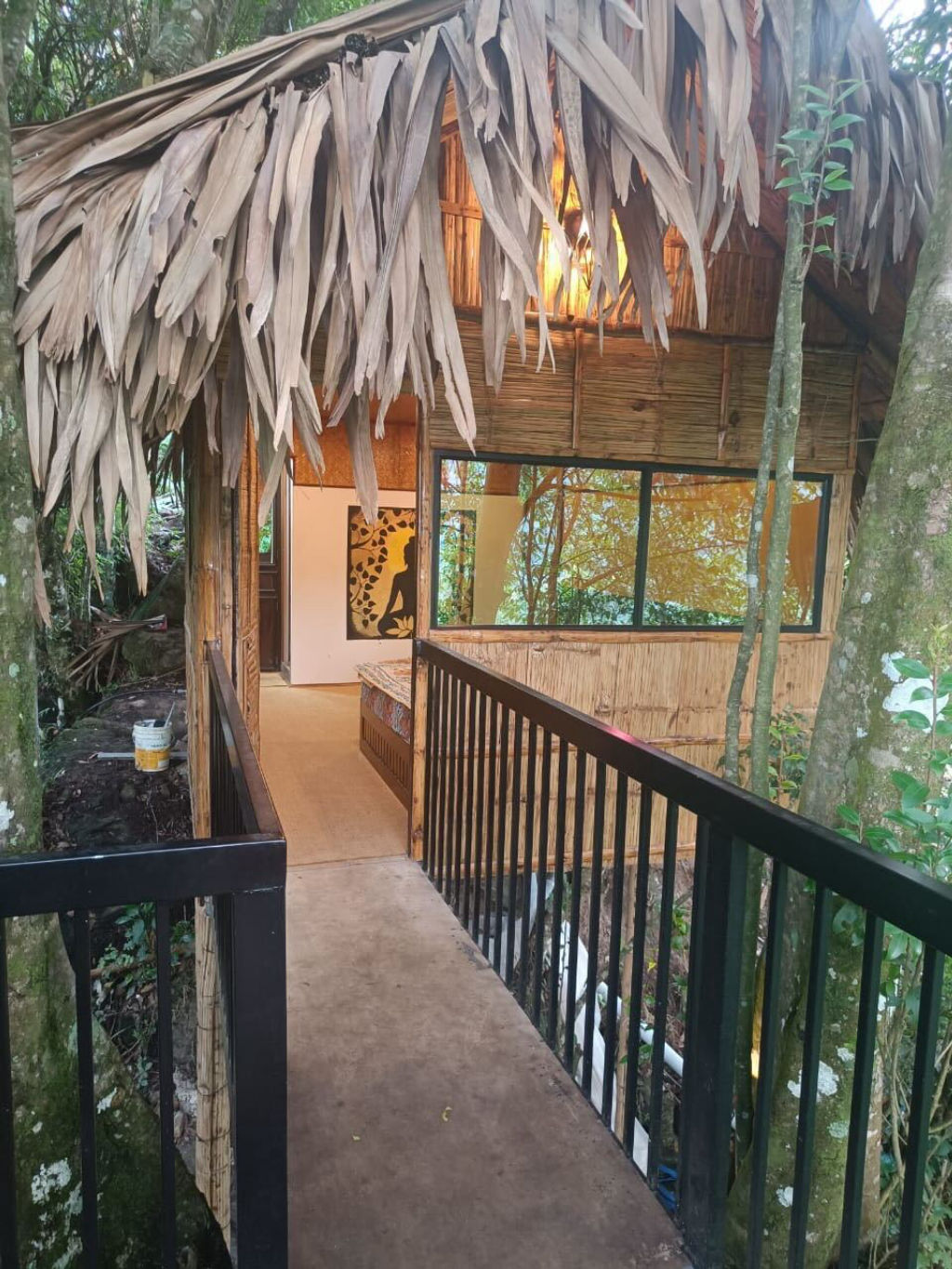
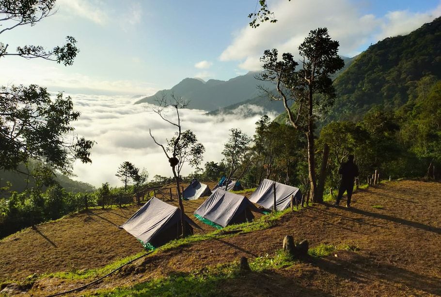
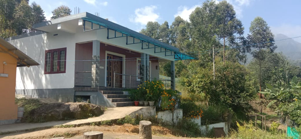
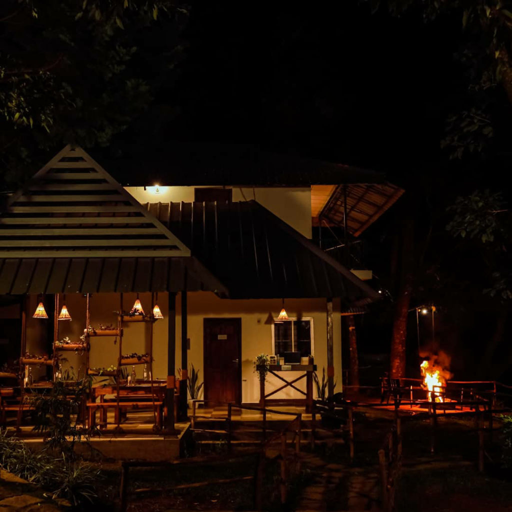
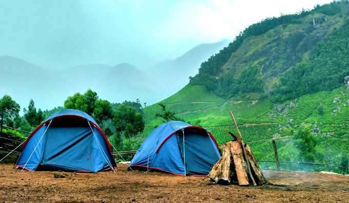
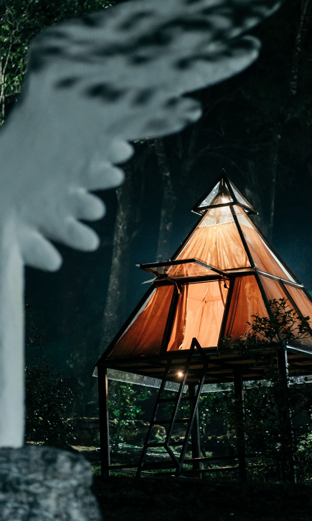
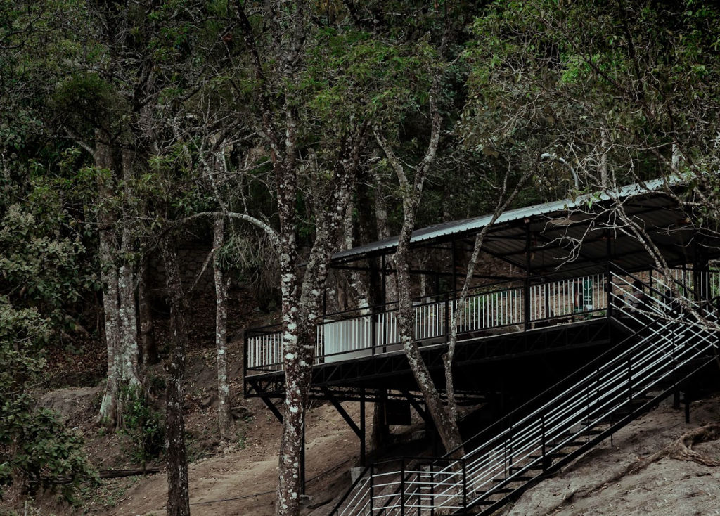
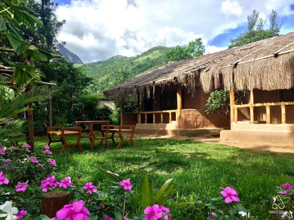
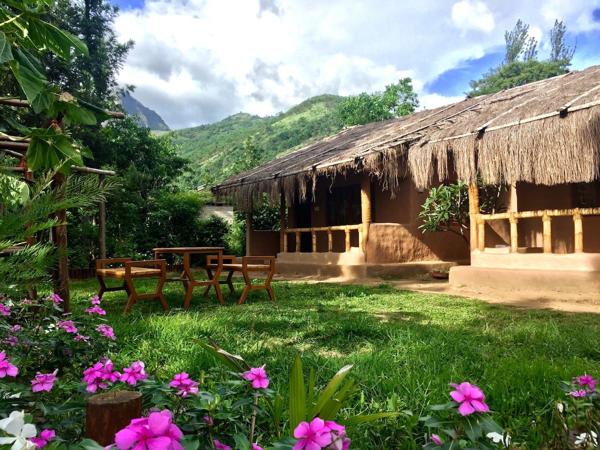
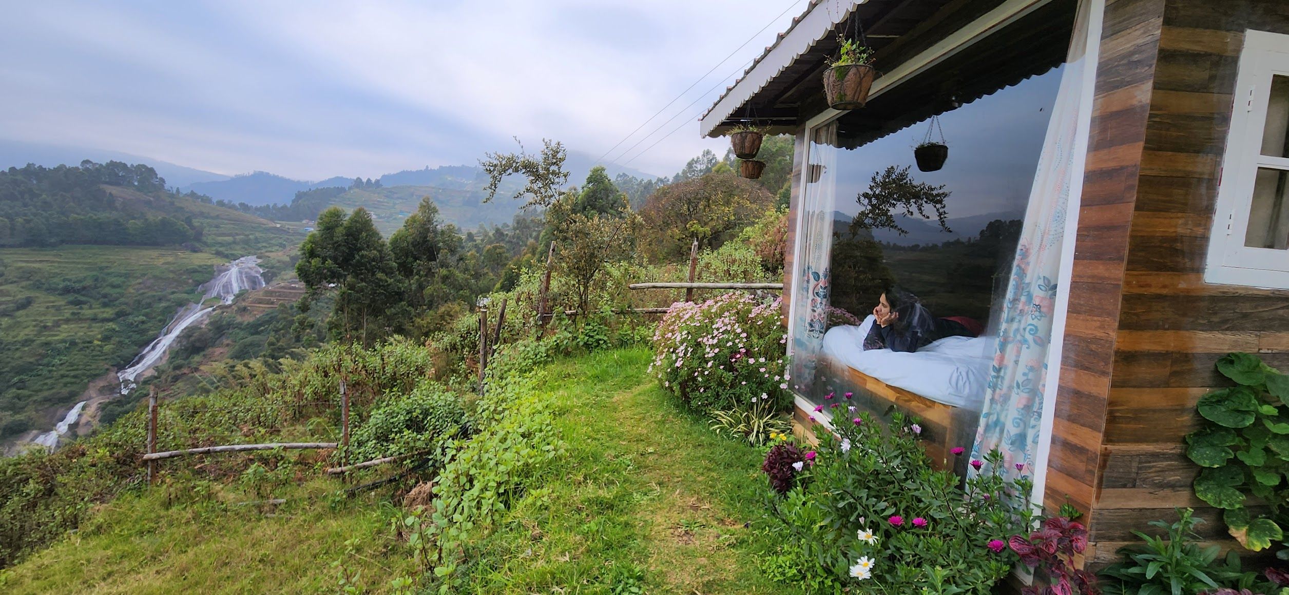
Accommodations in Vattavada cater to those seeking immersion in nature rather than luxury amenities. The village and its immediate surroundings feature a growing number of rustic homestays, simple farm retreats, and scenic campsites set along valley terraces and forested slopes. Staying on a local farm allows visitors to wake up to misty field views, enjoy traditional regional home-cooked meals, and experience the quiet rhythms of village life. You can browse and book verified campsites and homestays around Vattavada directly on HireACamp.
Frequently asked questions
What is Vattavada famous for?
Vattavada is best known as Kerala's cool-season agricultural hub, famous for its stepped hillside farms cultivating garlic, cabbage, carrots, tree tomatoes, and strawberries.
How far is Vattavada from Munnar?
Vattavada is situated roughly 45 kilometers east of Munnar, with the drive taking approximately one and a half to two hours via Mattupetty and Top Station.
Can I buy fresh vegetables and fruits in Vattavada?
Yes, visitors can frequently purchase freshly harvested produce, including garlic, seasonal fruits, and berries, directly from village farmers and roadside farm stalls.
Is Vattavada cold during the winter?
Yes, winter nights between December and February can be quite cold, with temperatures frequently dropping into single digits, requiring warm woolen clothing.
Are there good options for camping in Vattavada?
Yes, Vattavada offers peaceful camping opportunities on farm plots and scenic high-altitude viewpoints, many of which can be discovered on HireACamp.
Where you'll be
12 stays nearby shown with prices
Stays near Vattavada
Book a place to stay close by
Things to do in Vattavada
48 places creators recommend within 30 km


Built from 0 Instagram posts by 0 creators. Every tip links back to the post it came from, and where creators disagree we show both sides.






