
Top Station
Viewpoint near Vattavada, Tamil Nadu
4.1 km from Vattavada
The nearest town, for stays, food and fuel.
Top Station is a prominent viewpoint perched high on the crest of the Western Ghats near the border of Tamil Nadu and Kerala, accessible from both Bodinayakkanur and Munnar. Sitting at nearly two thousand metres above sea level, it provides dramatic panoramic vistas across the forested slopes and the plains of Theni below. Travellers head here to experience moving cloud formations, brisk mountain air, and the unique shola ecosystems of the high ranges.
Getting there
By road
- From VattavadaNearest town16 min · 5.8 km
- From Kochi3 hr 25 min · 162 km
- From Madurai4 hr 30 min · 188 km
- From Coimbatore4 hr 35 min · 188 km
Typical drive times without traffic. Stations and airports from OLA Maps; distances and typical drive times from OpenStreetMap (© OpenStreetMap contributors); notes from creators' Reels.
About Top Station
Written with AI from map data and general knowledge. Check prices and timings locally before you go.
About Top Station and Its Landscape
Top Station sits on an elevated ridge along the border of Tamil Nadu and Kerala, commanding an expansive view over the surrounding mountain scenery. From this high precipice, the land falls away into the deep valley below, providing a vantage point over the patchwork of fields, dry plains, and foothill forests of Bodinayakkanur and Theni. The immediate landscape surrounding the ridge is an ecological tapestry of high-altitude montane grasslands, native shola pockets, and rolling tea gardens that thrive in the cool mountain climate.
The viewpoint is renowned for its ever-shifting weather patterns. On clear days, the vast plains of Tamil Nadu stretch out under open skies, while during cooler mornings and afternoons, mist and sea-like cloud banks gather against the cliffs. The ridge is also famous for the rare mass blooming of the Neelakurinji plant, which covers the hillsides in vibrant violet and purple tones once every twelve years, drawing naturalists and mountain travellers from across the globe.
The Historic High Range Vantage
The origin of the name Top Station traces back to the late nineteenth and early twentieth centuries when the Kannan Devan Hills were transformed into major tea plantation regions. Top Station was established as the highest railway terminal of the historic Kundala Valley Railway, an early narrow-gauge monorail and train system that transported tea harvests from the mountain plateaus.
From this terminal point, cargo was transferred onto an aerial ropeway that lowered tea chests down the precipitous cliffs to the valley station at Kottagudi, where it was hauled toward Bodinayakkanur for regional transport. While the railway and ropeway infrastructure were later decommissioned and replaced by motor roads, the vantage point preserves the heritage of early high-range logistics and remains one of the most storied viewpoints in southern India.
Read more
Best Time to Visit Top Station
The best time to visit Top Station is during the post-monsoon and winter seasons, spanning from October through March. During these months, the air is clean, rainfall subsides, and early mornings frequently offer clear views across the valley floor before the rising warm air generates afternoon haze. Mid-winter nights and mornings can turn quite cold, with temperatures dipping low enough to require warm fleece or jackets.
The summer months between March and May are pleasantly mild compared to the plains, making the viewpoint a popular stop to escape the heat. Daytime conditions are generally dry and bright, suitable for scenic drives and ridge walks. The monsoon season from June to September transforms the surrounding hills into lush shades of green and fills the mountain streams, but it also brings heavy precipitation, dense fog, and strong winds. While dramatic for cloud watchers, heavy mist during the rains often obscures the valley views entirely.
How to Reach Top Station
Top Station can be reached by road from either the Kerala or Tamil Nadu approach. The most popular vehicular route runs from Munnar, meandering through tea estates, past Mattupetty and Kundala, before climbing toward the Tamil Nadu border. The drive is exceptionally scenic, following winding hill roads flanked by eucalyptus trees and shola forest remnants.
From the Tamil Nadu side, travellers can approach from Bodinayakkanur via ghat roads that ascend through dramatic hairpin curves into the high range. The nearest major transport hubs with airport and broad-gauge rail connectivity are Madurai and Kochi. From both cities, regional buses, private taxis, and personal vehicles can reach the hills. Mountain driving requires careful navigation due to narrow sections and seasonal fog, so checking local weather and road updates ahead of travel is recommended.
Places to Visit Near Top Station
The area surrounding Top Station features several ecologically significant reserves and outdoor landmarks. Adjacent to the ridge is Pampadum Shola National Park, Kerala's smallest national park, which safeguards dense evergreen montane shola forest and wildlife such as the rare Nilgiri marten, Indian gaur, and endemic bird species. Nearby rises Vandaravu Peak, one of the higher summits of the region, offering untamed trekking trails and wilderness panoramas.
A short drive away lies Kurinjimala Sanctuary, designated specifically to protect the natural habitat of the blooming Neelakurinji shrub. Visitors can also explore scenic destinations such as Bodi Mettu for further cliffside views, the quiet waters of Mannavanur Lake, and the bio-rich forests of Mathikettan Shola National Park. Combining Top Station with these neighboring reserves creates a varied mountain itinerary across both states.
Tips for Your Visit to Top Station
To catch the best views at Top Station, aim to arrive early in the morning. Cloud cover often rolls in by midday, hiding the expansive vista of the plains beneath dense white fog. Dressing in layers is recommended throughout the year, as gusty mountain winds along the exposed cliffside can feel noticeably cold even on sunny afternoons.
The walk down to the primary viewing platform involves steep, uneven paths and stone steps that can become slippery during the rainy season. Wear sturdy footwear with dependable grip to navigate the terrain comfortably. Because the region is an ecologically sensitive montane corridor, avoid leaving any plastic litter behind, carry drinking water in reusable bottles, and verify local access rules and timings upon arrival.
Where to Stay Near Top Station
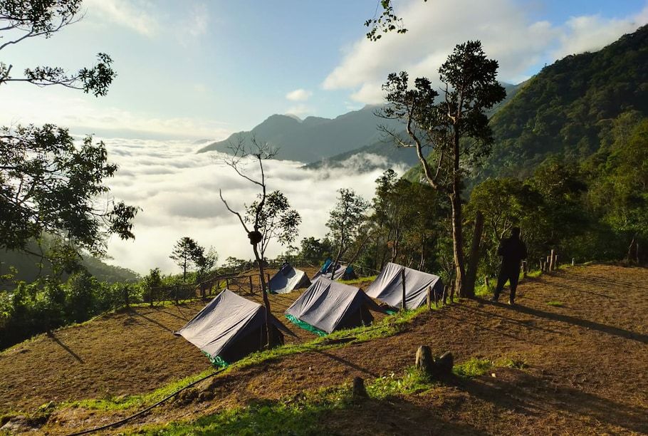
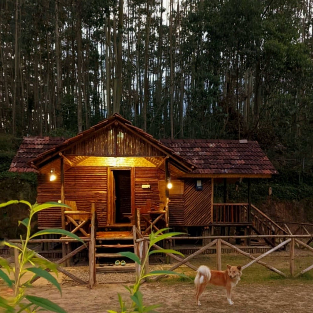
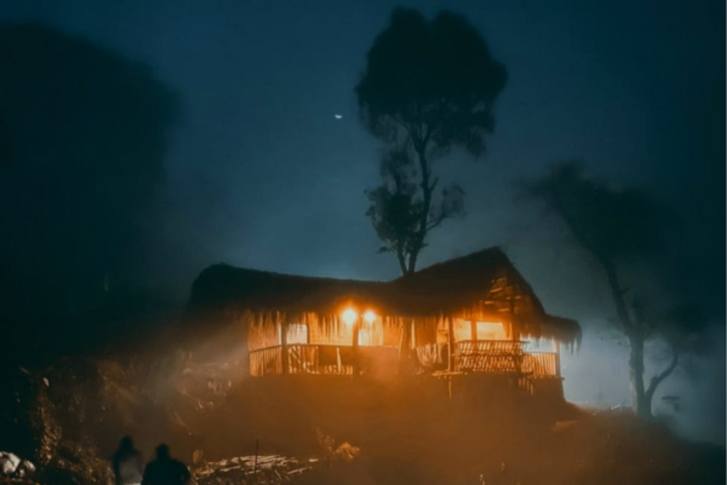
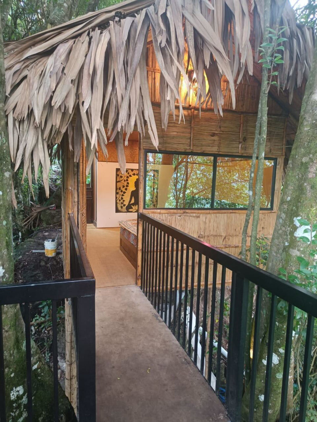
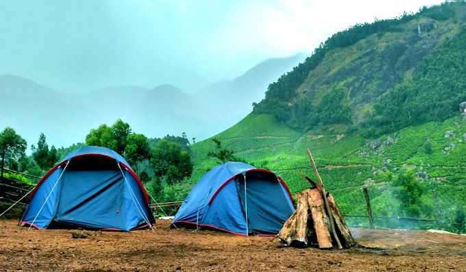
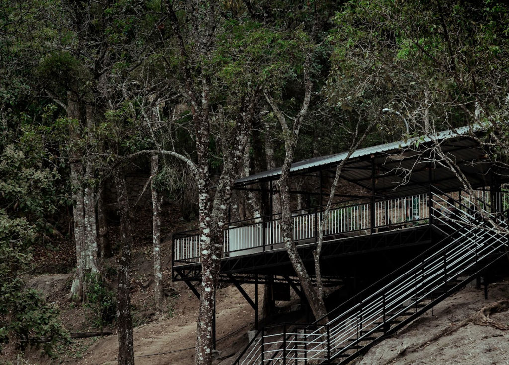
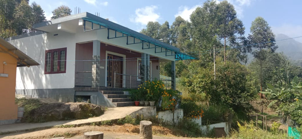
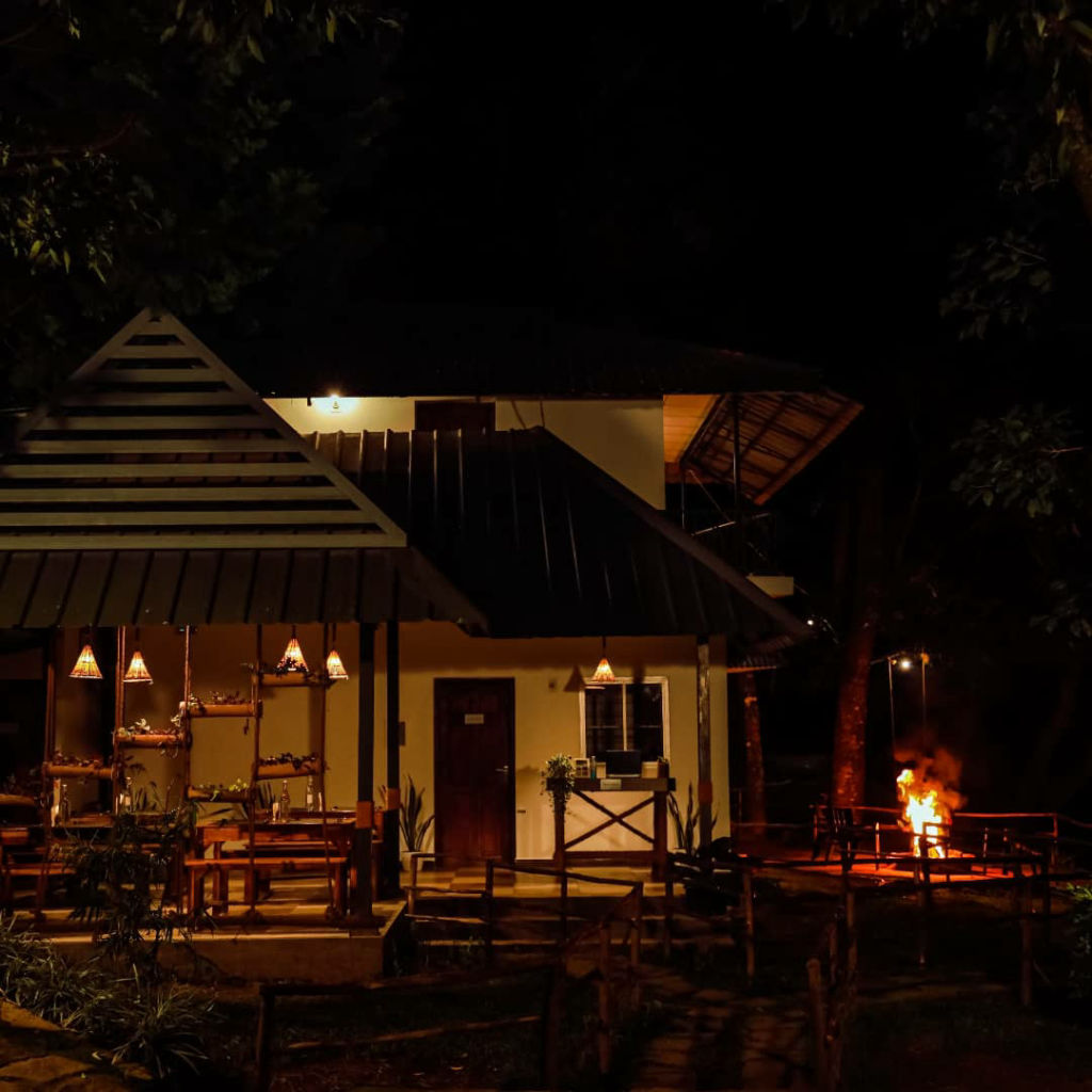
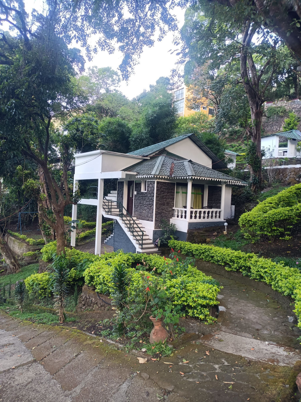
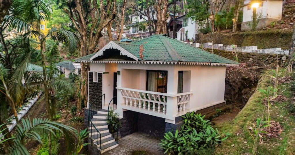
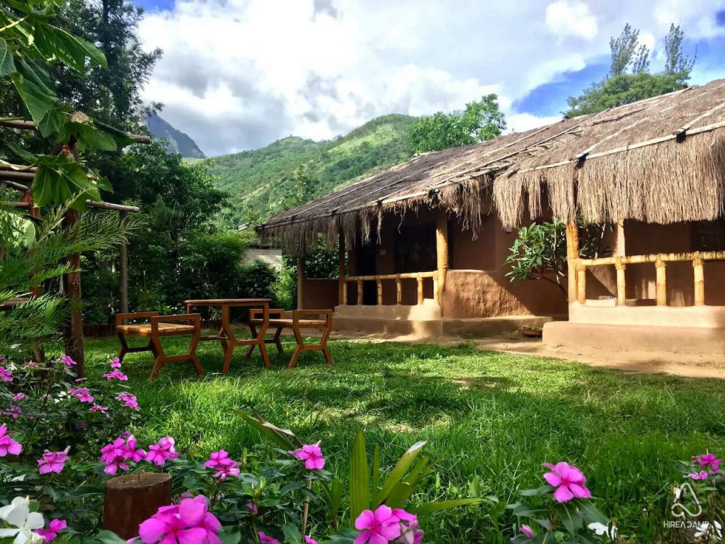
Staying near Top Station gives travellers the advantage of experiencing quiet sunrises and star-filled night skies without the rush of long daytime road transfers. Accommodations in the surrounding region range from tranquil tea estate homestays and rustic mountain cabins to scenic outdoor campsites positioned along quiet hill ridges.
A variety of homestays, nature retreats, and verified outdoor camping options near Top Station and Bodinayakkanur can be discovered and reserved through HireACamp. Booking a stay close to the viewpoint allows for an immersive mountain getaway surrounded by cool breezes and high-range wildlife.
Frequently asked questions
Where is Top Station located?
Top Station is located along the crest of the Western Ghats on the border between Tamil Nadu and Kerala, near the town of Bodinayakkanur and east of Munnar.
Why is it named Top Station?
It received its name from being the uppermost railway terminus of the historic Kundala Valley Railway, which transported tea down into the plains using an aerial ropeway.
What is the best time of day to visit Top Station?
Early morning is the best time to visit Top Station, as the sky is typically clearer, offering expansive visibility before fog and clouds roll in over the valley.
Can you see the Neelakurinji flower at Top Station?
Yes, the slopes around Top Station and the nearby Kurinjimala Sanctuary are famous for the Neelakurinji shrub, which blooms en masse once every twelve years.
What should I wear when visiting Top Station?
Dress in warm layers or bring a windbreaker, as the ridge is exposed to cold winds. Sturdy walking shoes are also advisable for navigating the uneven steps leading to the viewpoint.
Where you'll be
Munnar, Bodinayakanur · 12 stays nearby shown with prices
Stays near Top Station
Book a place to stay close by

More places near Top Station
Within 20 km


Built from 0 Instagram posts by 0 creators. Every tip links back to the post it came from, and where creators disagree we show both sides.






