
Karuvarakundu
Destination in Keralam
Karuvarakundu is a picturesque foothill town situated at the edge of the Western Ghats in the eastern part of Malappuram district, Kerala. Framed by tea gardens, rubber estates, and cloud-covered slopes, the town is a gateway to quiet mountain streams and cascading seasonal waterfalls. Travellers visit Karuvarakundu to escape urban bustle, explore riverside walks, and experience the slow, verdant rhythms of rural northern Kerala.
Getting there
By road
- From Coimbatore3 hr 5 min · 121 km
- From Mysuru4 hr 5 min · 181 km
- From Kochi4 hr 15 min · 174 km
- From Bengaluru6 hr 15 min · 326 km
Typical drive times without traffic. Stations and airports from OLA Maps; distances and typical drive times from OpenStreetMap (© OpenStreetMap contributors); notes from creators' Reels.
Karuvarakundu and Surrounding Foothills Itinerary
This itinerary covers the scenic foothills, waterfalls, and cultural landmarks situated along the Tamil Nadu and Kerala border area accessible from Karuvarakundu, spanning the Siruvani range, Velliangiri foothills, and Isha Yoga Center.
Isha and Siruvani Highlights
Best for first-time visitors wanting spiritual landmarks and freshwater scenery in one day
Day 1
Waterfalls and Spiritual Centers
morning
Siruvani WaterfallsAbout 2 hr
Visit Siruvani Waterfalls, located approximately 37 km from Coimbatore, renowned for having some of the sweetest freshwater in the world.
midday
Isha Yoga Center CoimbatoreAbout 2 hr · 6.9 km from the last stop
Head to the Isha Yoga Center, situated around 30 km from Coimbatore, for its peaceful grounds and spiritual environment.
afternoon
DhyanalingaAbout 1 hr 30 min · 200 m from the last stop
Spend focused time at Dhyanalinga inside the Isha Foundation, an essential experiential highlight of the center.
evening
AdiyogiAbout 1 hr 30 min · 900 m from the last stop
Conclude the day at the 112-foot Adiyogi Shiva statue to watch the evening light projection show.
- Do not skip visiting Dhyanalinga during a trip to the Isha Yoga Center, as it is the central experiential highlight.
- Stay at the Adiyogi statue into the evening to catch the projection light show.
- Reaching Kovai Kutralam Water Falls involves a 2 to 3 km walk on foot from the entrance area.
- Trekking in the Velliangiri Hills should only be undertaken during its officially permitted seasonal window.
- When heading to Nallasinga hills view point after crossing the Kerala border, turn toward Sholayoor and make a left near the Milma tea stall.
Visit lengths are suggestions; distances are straight-line between stops.
About Karuvarakundu
Written with AI from map data and general knowledge. Check prices and timings locally before you go.
About Karuvarakundu
Karuvarakundu lies in the transitional zone where the undulating plains of central Kerala meet the towering ridges of the Nilgiri Biosphere Reserve. The name of the town hints at its geographic setting, nestled in a deep natural basin surrounded by forest-clad peaks and rocky escarpments. The landscape is intensely green, dominated by terraced rubber plantations, coconut groves, areca nut orchards, and tea estates higher up the slopes.
Historically an agricultural settlement sustained by spice cultivation and timber, Karuvarakundu has preserved its small-town charm while drawing outdoor enthusiasts who appreciate nature in its raw form. Mountain rivulets and tributaries that eventually feed into the Kadalundi and Chaliyar river basins carve their way through the rocky gullies surrounding the town. For anyone seeking a quiet retreat anchored in village hospitality and tropical greenery, Karuvarakundu offers an idyllic destination.
Things to see and do in Karuvarakundu
The primary draw of Karuvarakundu is its proximity to clear mountain streams, rock pools, and cascading falls. The geography of the region creates numerous natural dips and chutes where clear water rushes over polished granite boulders. Taking a quiet walk along the village pathways leading to these watercourses allows you to absorb the tranquil sounds of rushing water and birdsong under deep forest canopies.
Exploring the surrounding agricultural landscape is another rewarding experience. Plantation trails weave through quiet rubber and spice farms, offering gentle walks that reveal everyday life in Malappuram's high ranges. You can walk through shading canopies of nutmeg and clove trees, chat with local farmers, or hike along peripheral hill tracks that provide expansive panoramas across the town's bowl-shaped valley.
Read more
Places to visit around Karuvarakundu
The surrounding districts and interstate borders offer several memorable day excursions from Karuvarakundu. Crossing east toward the rolling border zones brings you closer to the Bhavani River drainage basin. The Bhavani River Bridge, situated approximately 26 kilometres away, is a scenic spot to watch the gentle flow of one of Kerala's rare east-flowing rivers against an unhurried rural backdrop.
Further outward, around 34 kilometres from town, lies the Chittoor river view, where riverbanks lined with reeds and tall trees offer tranquil waterscapes and pleasant sunset vantage points. For those who enjoy elevated perspectives, the Nallasinga hills view point, located around 40 kilometres away, rewards travellers with sweeping vistas of rolling ridgelines, forest patches, and dramatic cloud formations hanging over the Western Ghats.
Best time to visit Karuvarakundu
The best months to plan a trip to Karuvarakundu are between October and February. During this post-monsoon and winter window, the rains recede, the humidity drops, and the daytime weather remains pleasant, while evenings take on a refreshing coolness. The landscape during these months remains vibrantly lush, and the streams carry steady, clear currents ideal for spending quiet afternoons outdoors.
The southwest monsoon, spanning from June to September, transforms the town into an emerald paradise soaked in frequent, heavy downpours. While the waterfalls and rivers swell dramatically, travel plans can be disrupted by muddy paths and slippery rocks. The summer months from March to May can be relatively hot and humid during the day, though early mornings and late evenings near the hill breezes remain comfortable.
How to reach Karuvarakundu
Karuvarakundu is well connected to the rest of Kerala by road. The town lies on secondary state transit routes linking it to prominent regional hubs like Manjeri, Nilambur, and Perinthalmanna. State transport and private buses operate frequent services connecting Karuvarakundu with nearby municipal centres, making bus travel straightforward.
The nearest railway stations are Melattur and Nilambur Road, which sit on the scenic Nilambur-Shoranur railway line. For broader long-distance rail connections across the country, Shoranur Junction is the primary railway terminus within convenient driving distance. If travelling by air, Calicut International Airport in Karipur is the closest airport, situated within an approximate two-hour drive depending on road traffic.
Tips for your visit
When exploring the natural pools and waterfalls around Karuvarakundu, always exercise caution on the wet granite rocks. Surfaces near running water can become extremely slick with algae, especially during and after the rainy season. Flash currents can occur suddenly in mountain streams following rainfall on the upper hills, so it is best to pay attention to local advisories and water levels before stepping into any water bodies.
Pack comfortable walking shoes with reliable grip for estate walks and trail exploration. Carrying a light raincoat or umbrella is advisable regardless of the season, as the foothills often receive spontaneous localized showers. Karuvarakundu is a conservative, peaceful community, so dressing modestly and disposing of all plastic waste responsibly helps sustain the town's natural beauty and welcoming culture.
Where to stay in Karuvarakundu
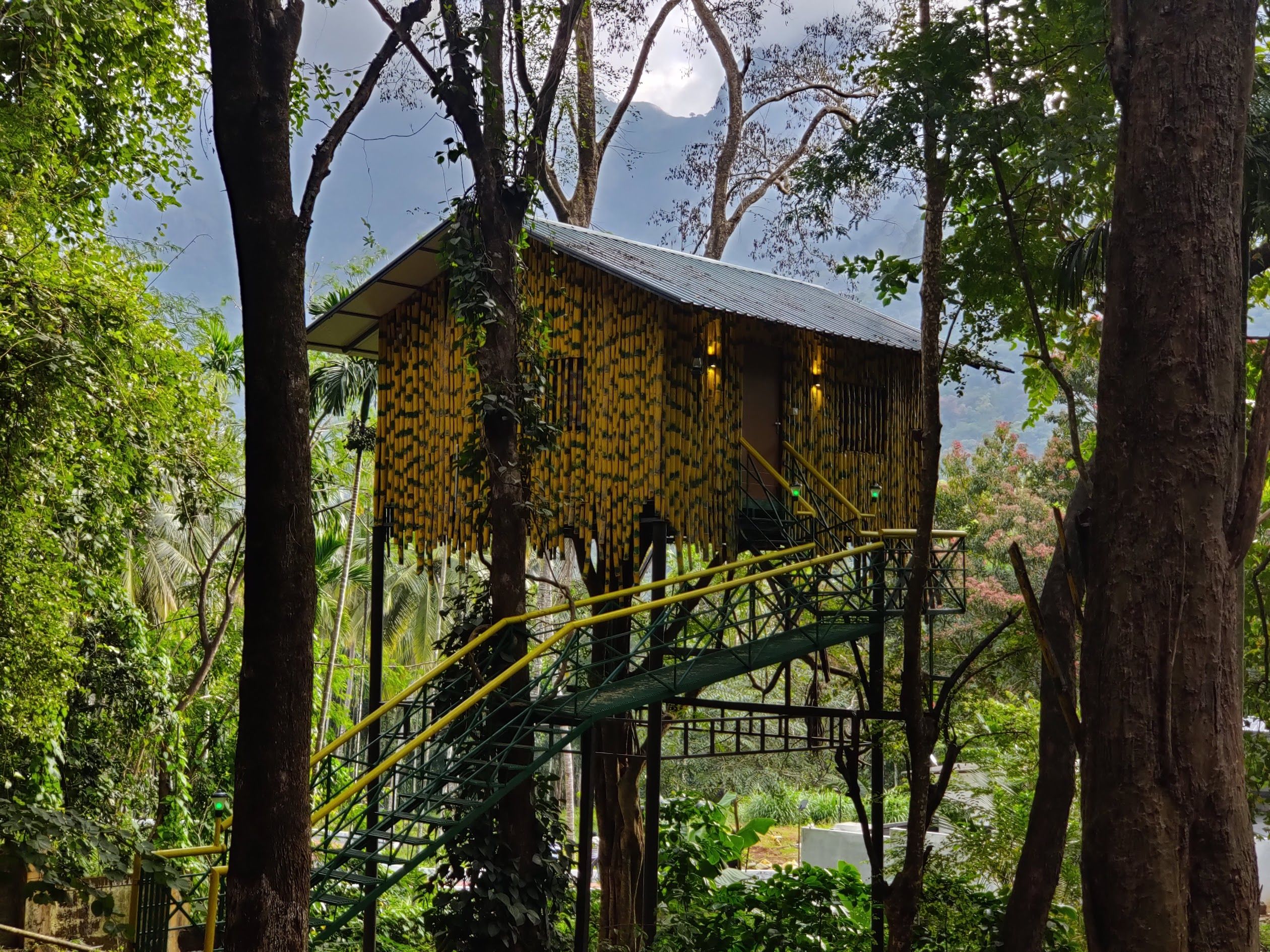
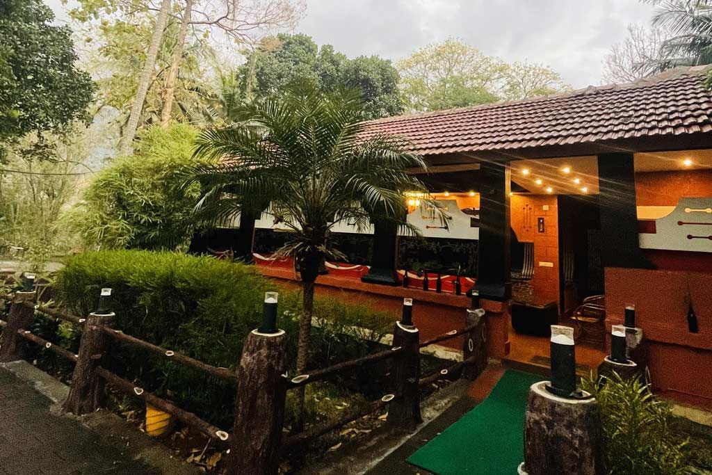
Accommodations around Karuvarakundu cater to travellers looking for peaceful retreats rather than commercial hotel corridors. Staying amidst the lush landscape offers the chance to wake up to misty mornings, plantation aromas, and uninterrupted bird calls. Whether you are looking for comfortable homestays hosted by local families, countryside farm cottages, or secluded outdoor camping spots set against the backdrop of the Western Ghats, you can find and book your ideal stay nearby on HireACamp.
Frequently asked questions
What is Karuvarakundu known for?
Karuvarakundu is known for its scenic foothill setting, surrounding spice and rubber plantations, cascading streams, and close proximity to the Western Ghats.
Which railway station is closest to Karuvarakundu?
Melattur and Nilambur Road are the closest railway stations, while Shoranur Junction serves as the primary major rail hub connecting to cities across India.
Is Karuvarakundu safe to visit during the monsoon?
While the monsoon brings out magnificent greenery and full waterfalls, rock surfaces become very slippery and river levels rise rapidly, requiring extra caution around water bodies.
What should I wear while visiting Karuvarakundu?
Light cotton clothing works well during the day, paired with sturdy walking footwear with good traction. It is also recommended to dress modestly out of respect for local village customs.
Where you'll be
2 stays nearby shown with prices
Stays near Karuvarakundu
Book a place to stay close by
Things to do in Karuvarakundu
48 places creators recommend within 30 km


Built from 0 Instagram posts by 0 creators. Every tip links back to the post it came from, and where creators disagree we show both sides.






