
Anginda Peak
Peak near Bangitappal, Tamil Nadu
9.3 km from Bangitappal
The nearest town, for stays, food and fuel.
Anginda Peak is a prominent mountain summit rising in the Western Ghats along the border of Tamil Nadu and Kerala. Situated within the ecologically sensitive Nilgiri Biosphere Reserve, the peak attracts avid trekkers and wilderness enthusiasts drawn to its vast shola-grassland expanses and untamed terrain. Visitors come to experience a pristine, remote alpine environment characterized by sweeping ridge views and rich biodiversity.
Getting there
By road
- From BangitappalNearest town46 min · 5.2 km
- From Coimbatore6 hr 10 min · 131 km
- From Mysuru7 hr 45 min · 229 km
- From Bengaluru9 hr 55 min · 374 km
Typical drive times without traffic. Stations and airports from OLA Maps; distances and typical drive times from OpenStreetMap (© OpenStreetMap contributors); notes from creators' Reels.
About Anginda Peak
Written with AI from map data and general knowledge. Check prices and timings locally before you go.
About Anginda Peak
Anginda Peak stands tall in the Nilgiri Hills, marking a natural frontier between the Nilgiris district of Tamil Nadu and the Palakkad region of Kerala. Rising well above two thousand metres, it is one of the highest points in this part of the Western Ghats. The mountain forms an integral part of the Nilgiri Biosphere Reserve, cradled between protected zones that include Silent Valley National Park and Mukurthi National Park.
The summit is known for its dramatic geography, where steep rocky slopes give way to high-altitude montane grasslands and dense patches of stunted evergreen forests known locally as sholas. Historically connected to the ancient Sispara Pass route, the region around Anginda has long been revered by botanists and explorers for its untamed nature. Today, it remains an unspoilt sanctuary for travellers who appreciate remote mountain wilderness.
The Wilderness and Landscape of Anginda Peak
The landscape surrounding Anginda Peak is defined by a delicate balance of weather and ecology. Cool mist regularly drapes the slopes, feeding countless small streams and seasonal rivulets that eventually flow into major river basins, including the Bhavani and Kunthipuzha rivers. The high ridges offer expansive panoramas of cascading hills that roll away toward the horizon in shades of deep green and blue.
Because of its remote location within a continuous forested belt, the peak and its surrounding valleys shelter an exceptional array of endemic and endangered wildlife. Trekkers through the broader region may encounter signs of the Nilgiri tahr grazing on steep cliff faces, or spot troops of the elusive lion-tailed macaque within the dense forest canopy. The area is also home to Asian elephants, leopards, Indian gaurs, and a remarkable diversity of high-altitude birds such as the Nilgiri pipit, black-and-orange flycatcher, and Nilgiri wood pigeon.
Read more
Trekking to Anginda Peak
Trekking toward Anginda Peak is a serious wilderness undertaking that requires sound physical fitness and thorough preparation. Unlike commercial hiking trails with clearly paved paths and frequent rest stops, the routes in this zone cross raw forest floors, rugged boulders, and steep grassy ridges exposed to biting mountain winds.
Traversing the terrain demands navigating dense undergrowth and occasional stream crossings. The elevation gain can be demanding, testing stamina and endurance over long stretches of walking. Because the peak is nestled deep within protected forest lands, walking unaccompanied is not permitted; trekkers must always be accompanied by certified forest guides. It is vital to check locally with the relevant forest departments regarding route openings, as access is strictly regulated to protect fragile habitats from excessive foot traffic.
Best Time to Visit Anginda Peak
The ideal period to plan an expedition toward Anginda Peak is during the post-monsoon and winter months, spanning roughly from October to February. During this window, the torrential monsoon rains subside, the skies clear to offer crisp visibility across the Western Ghats, and daytime temperatures remain comfortable for walking.
The monsoon season, which typically lasts from June through September, brings intense rainfall, heavy cloud cover, and powerful winds to these ridges. Trails become slick and hazardous, streams swell unpredictably, and forest leeches multiply, making trekking unadvisable during these months. By contrast, the early summer months from March to May bring drier weather, though the midday sun can be fierce on exposed grasslands and forest fire risks may lead authorities to restrict entry.
How to Reach Anginda Peak
Reaching the starting points for Anginda Peak involves travelling into the upland regions of the Western Ghats from major transport hubs in Tamil Nadu or Kerala. Coimbatore is the nearest major transit hub, situated roughly one hundred kilometres away, with an international airport and comprehensive railway connectivity. From Coimbatore, road journeys take you up through scenic foothill corridors toward the Nilgiri plateau.
On the Tamil Nadu side, towns such as Ooty or Gudalur serve as principal transit bases where travellers can arrange road transport to rural outposts and forest check-posts near the trailheads. Alternatively, approaches from the Kerala side pass through Mannarkkad and the entry points to the Silent Valley region. Given the remote terrain and winding mountain roads, local taxis or private vehicles with good ground clearance are recommended to navigate the rural approaches.
Tips for Your Visit to Anginda Peak
Preparation is key when venturing into such remote mountain terrain. Sturdy, broken-in trekking boots with excellent grip are essential for handling rocky inclines and slippery patches. Carrying leech socks and insect repellent is strongly advised, particularly if walking shortly after rainy spells. Pack adequate warm layers, as temperatures drop sharply on the open ridges once the sun goes down or when cloud covers the summit.
Because there are no facilities, shops, or supply points anywhere near the summit, you must carry sufficient drinking water, energy foods, and basic medical supplies. Always follow leave-no-trace ethics rigorously: bring back all non-biodegradable waste, do not disturb vegetation or wildlife, and avoid making loud noises. Ensure all necessary forest permissions and local guide arrangements are finalized well before arrival.
Places to Visit Around the Region
The broader geographic belt surrounding Anginda Peak is rich in striking natural viewpoints and water bodies. Toward the north in the upper Nilgiris, travellers can visit the shimmering waters of Pykara Lake and the cascading Pykara Waterfall, both celebrated for their serene pine-fringed settings. Farther along the plateau edge toward Gudalur, Needle Rock View Point provides panoramic cliff-side views over the forested lowlands.
Lower down along the foothills between the Nilgiris and Coimbatore, the region features tranquil riverside locations along the Bhavani River, along with scenic forest cataracts such as Siruvani Waterfalls and Kovai Kutralam. Cultural and spiritual landmarks, including the Velliangiri Hills and the Adiyogi monument near the Isha Yoga Center, also lie within driving distance across the plains, making it easy to combine a wilderness outing with regional sightseeing.
Where to Stay Near Anginda Peak
Due to its high ecological sensitivity, staying overnight on Anginda Peak itself is not permitted. Visitors generally establish their base in nearby hill towns, rural plantations, or gateway settlements around the Nilgiris and Silent Valley fringes.
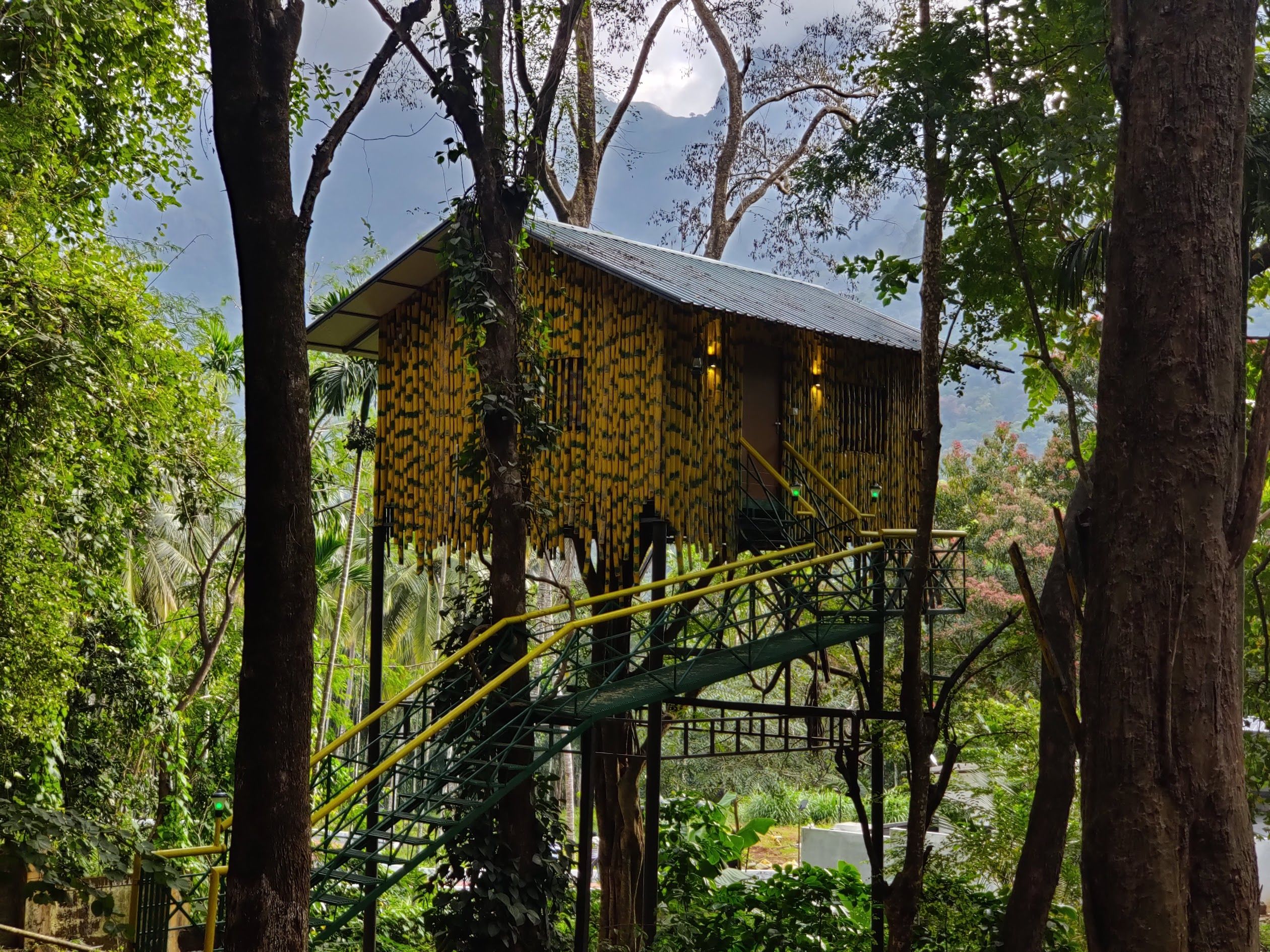
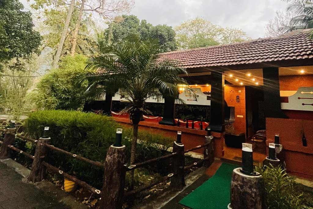
Camps, nature homestays, and rustic wilderness lodges can be found on HireACamp. Staying at a nearby village or estate homestay provides a comfortable base to acclimatize to the mountain weather while supporting local communities before heading out into the reserve.
Frequently asked questions
Where is Anginda Peak located?
Anginda Peak is situated along the Western Ghats border between the Nilgiris district of Tamil Nadu and the Palakkad district of Kerala, within the protected Nilgiri Biosphere Reserve.
Do I need a permit to trek to Anginda Peak?
Yes, because the peak lies within restricted and protected forest territory, prior permission from the state forest department and mandatory local forest guides are required to visit.
What is the best time of year to visit Anginda Peak?
The most favourable time is between October and February, when the skies are clear, trails are manageable after the monsoon, and temperatures are pleasant for hiking.
How difficult is the trek to Anginda Peak?
The trek is considered moderately difficult to strenuous due to steep elevation changes, untamed forest terrain, and long distances through rugged wilderness.
Can you camp on top of Anginda Peak?
Camping on the summit is strictly prohibited to preserve the fragile high-altitude ecology. Visitors must stay at registered homestays or campsites located outside the protected forest zone.
Where you'll be
Tamil Nadu · 2 stays nearby shown with prices
Stays near Anginda Peak
Book a place to stay close by
More places near Anginda Peak
Within 20 km


Lists for this area
Ranked by how many creators recommend each place


Built from 0 Instagram posts by 0 creators. Every tip links back to the post it came from, and where creators disagree we show both sides.






