
Kumarikkal Mala
Peak near Marayur, Kerala
5.1 km from Marayur
The nearest town, for stays, food and fuel.
Kumarikkal Mala is a prominent mountain peak rising along the high ridges of the Western Ghats near Marayur in Kerala. Towering over the surrounding shola forests and montane grasslands, the peak draws trekkers, naturalists, and outdoor enthusiasts looking to experience the rugged wilderness of the Anamalai range. Its high-elevation vantage points offer panoramic views across wildlife sanctuaries, rolling hills, and misty valleys.
Getting there
By road
- From MarayurNearest town26 min · 6.2 km
- From Coimbatore3 hr 15 min · 120 km
- From Kochi4 hr · 174 km
- From Madurai5 hr · 194 km
Typical drive times without traffic. Stations and airports from OLA Maps; distances and typical drive times from OpenStreetMap (© OpenStreetMap contributors); notes from creators' Reels.
About Kumarikkal Mala
Written with AI from map data and general knowledge. Check prices and timings locally before you go.
About Kumarikkal Mala and its landscape
Kumarikkal Mala stands as one of the towering peaks within the greater Anamalai hill system of the Western Ghats, located near the town of Marayur in Kerala. The peak is characterized by rolling montane grasslands punctuated by dense patches of stunted evergreen shola forests nestled in the folds of its valleys. This dual ecosystem of high-altitude grasslands and sholas is typical of the southern Western Ghats, creating a striking landscape that changes character with every shift in wind and cloud cover.
Rising well above the neighbouring valleys, the summit of Kumarikkal Mala commands dramatic views over the surrounding landscape. From the upper slopes, on clear mornings, one can look out across the expanse of protected reserves stretching between Kerala and Tamil Nadu. The stark contrast between the wind-swept golden grass of the upper ridges and the deep green canopies of the ravines makes the climb visually rewarding for hikers and nature photographers.
Trekking at Kumarikkal Mala
Trekking up Kumarikkal Mala is a challenging yet memorable pursuit for outdoor enthusiasts. The trail traverses diverse terrain, starting from the lower foothills where scrub and deciduous vegetation dominate, before gradually climbing through mist-laden shola woods and opening out onto vast, exposed grassy crests. The steep gradients and uneven rocky paths require a fair level of cardiovascular fitness and steady footing, especially along sections where exposed ridges face strong mountain winds.
Hikers along the slopes are treated to ever-expanding vistas of neighbouring peaks and distant valleys. The rhythm of the trail allows visitors to pause and take in the cool mountain breeze, listen to the calls of high-canopy birds, and observe unique alpine flora adapted to high UV exposure and harsh winds. Because this region borders sensitive forest reserves, any trekking attempt usually requires coordination with local forest authorities, making it essential to enquire locally about permissions and route regulations.
Read more
Wildlife and ecology around the peak
The slopes surrounding Kumarikkal Mala form a crucial ecological bridge within the regional conservation complex. Because it lies close to protected zones like Chinnar Wildlife Sanctuary and Grass Hills National Park, the area is home to an extraordinary variety of rare and endemic wildlife. The high-altitude rocky crags provide prime habitat for the endangered Nilgiri tahr, which can occasionally be spotted grazing along precipitous cliff faces.
The dense shola pockets harbour an abundance of birdlife, including regional endemics such as the Nilgiri pipit, the white-bellied blue flycatcher, and the Nilgiri wood pigeon. Larger mammals such as Asian elephants, Indian gaurs, sambar deer, and leopards inhabit the contiguous forest tracts below the peak. Observing signs of wildlife, from fresh tracks along mud trails to distant calls echoing across the valleys, is a central part of any excursion around Kumarikkal Mala.
Best time to visit Kumarikkal Mala
The post-monsoon and winter months, spanning from October to March, offer the most favourable conditions for visiting Kumarikkal Mala and the Marayur region. During this period, the intense southwest monsoon rains have subsided, leaving the slopes vibrant green and the skies relatively clear. Temperatures during the day remain pleasant and crisp, while nights can become chilly, particularly at higher elevations where cold winds sweep across the plateau.
The summer months from March to May bring warmer, drier weather in the foothills, though the high peaks often stay cooler than the plains. Visibility is generally good, but daytime heat can make prolonged climbing strenuous, and dry grass increases the danger of wild scrub fires. The monsoon season from June to September brings heavy, relentless rainfall to this part of the Western Ghats. Trails become slick and prone to leeches and sudden mist, which can drastically reduce visibility and make trekking dangerous.
Places to visit near Kumarikkal Mala
The region around Kumarikkal Mala is packed with natural landmarks and scenic destinations. Located just a short distance away is the Chinnar Wildlife Sanctuary, known for its unique dry thorn scrub forests, medicinal plants, and the endangered grizzled giant squirrel. Travellers can also explore the rich biodiversity of Grass Hills National Park and Karian Shola National Park, both offering pristine stretches of undisturbed forest and high-elevation grasslands.
Water bodies are another highlight of the surrounding topography. Dams such as Kadamparai Dam, Nirar Dam, Thirumoorthy Dam, and Aliyar Dam dot the broader landscape, providing serene picnic stops and reservoir views. For those seeking cascades, Monkey Falls and Attukad Waterfalls showcase the volume of water rushing down the Western Ghats slopes. Travellers interested in quiet riverfront strolls can visit the Koolangal River, while heritage seekers may appreciate stops at the historic CSI Holy Trinity Church and the Subramaniya Swamy Temple in the wider area.
How to reach Kumarikkal Mala
Kumarikkal Mala is accessed primarily through Marayur, a scenic town nestled along the highway in the Idukki district of Kerala. For air travellers, the nearest major airports are Cochin International Airport in Kerala and Coimbatore International Airport in Tamil Nadu. Both airports are well connected to domestic and international destinations and sit within driving distance of Marayur via scenic mountain roads.
Rail travellers can alight at rail hubs such as Aluva, Ernakulam, or Udumalpet, depending on the route chosen. From these transit hubs, private taxis and state transport buses run regularly toward Marayur. The approach to Kumarikkal Mala involves scenic drives through winding ghat roads, tea plantations, and protected forest corridors. From Marayur, local transport or private vehicles can take travellers to designated trailheads or forest check-posts where excursions begin.
Tips for your visit
Preparation is essential when planning a trip to a high-altitude peak like Kumarikkal Mala. Sturdy hiking shoes with solid ankle support and reliable grip are indispensable for navigating rocky, steep paths and wet grass. Weather in the Western Ghats can shift rapidly, so carrying light layers, a windproof outer jacket, and rain gear is advisable even if the sky appears clear when you set out.
Because the area sits within an ecologically sensitive forest boundary, visitors must practice strict leave-no-trace outdoor ethics. Carry all non-biodegradable waste back with you, avoid lighting open fires, and refrain from playing loud music or disturbing wild animals. Carry ample drinking water and high-energy snacks, as there are no retail facilities or water points along the mountain trail. Always verify trail access permissions with local forest checkpoints before embarking on your trek.
Where to stay near Kumarikkal Mala
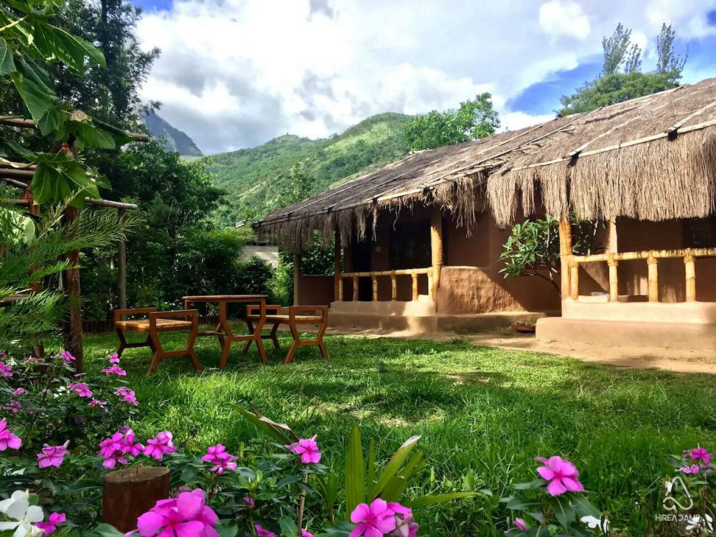
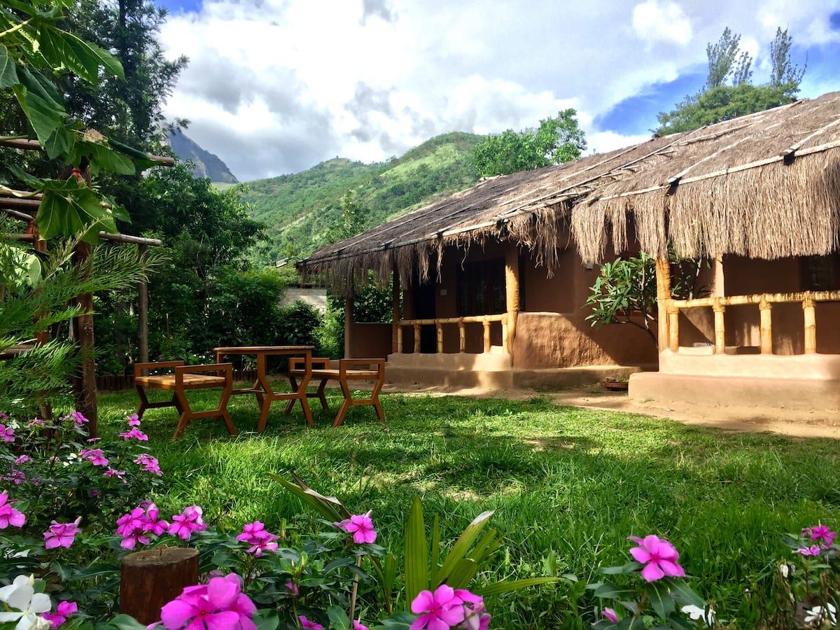
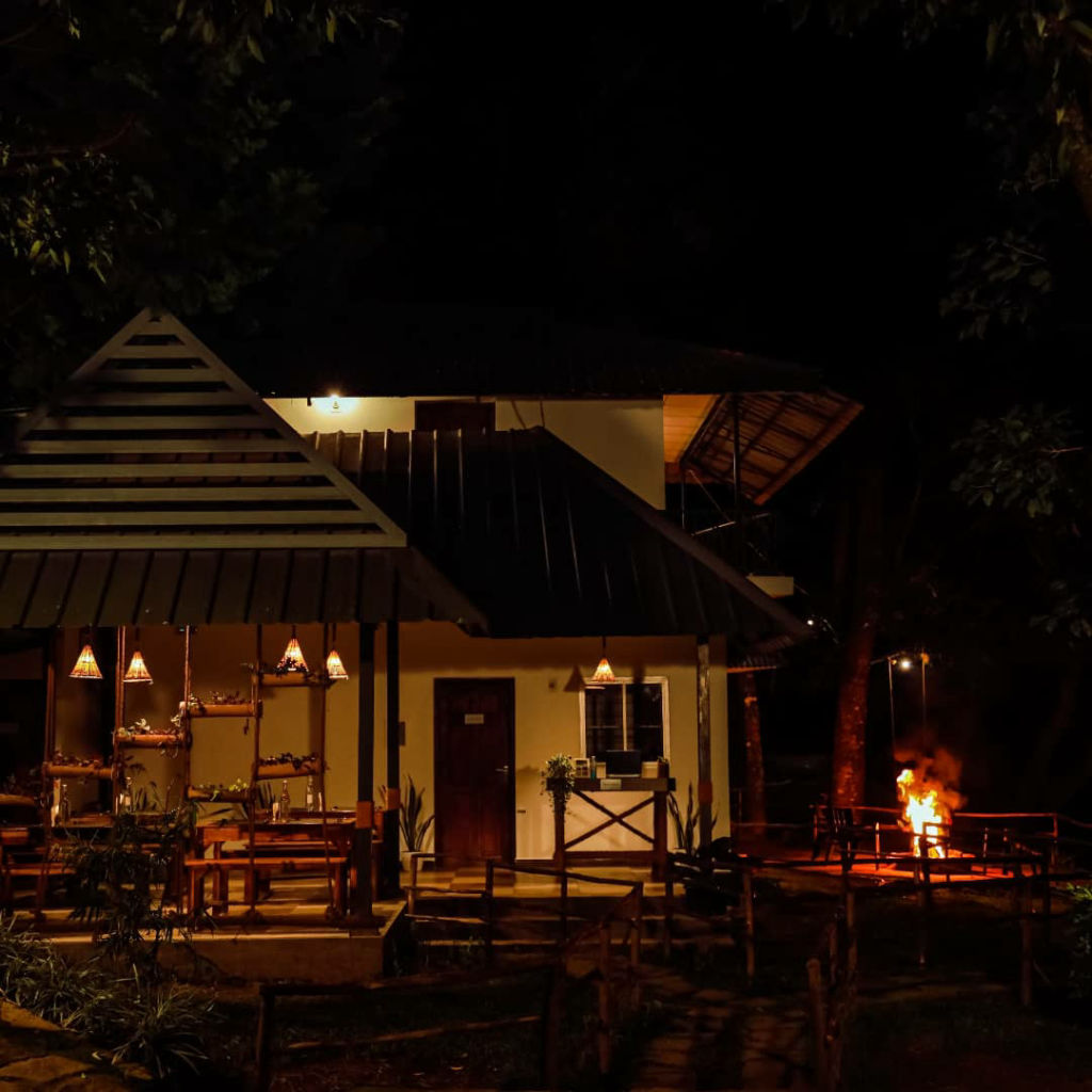
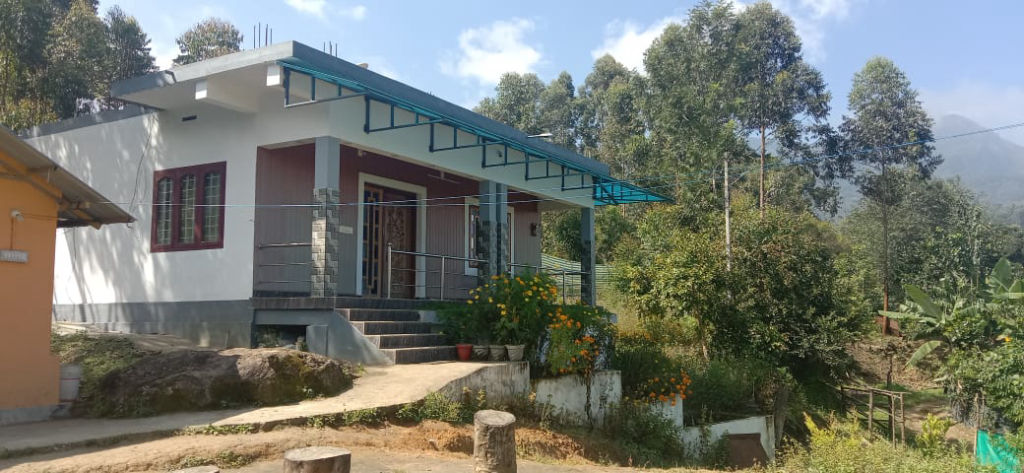
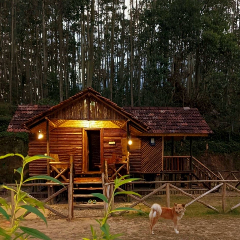
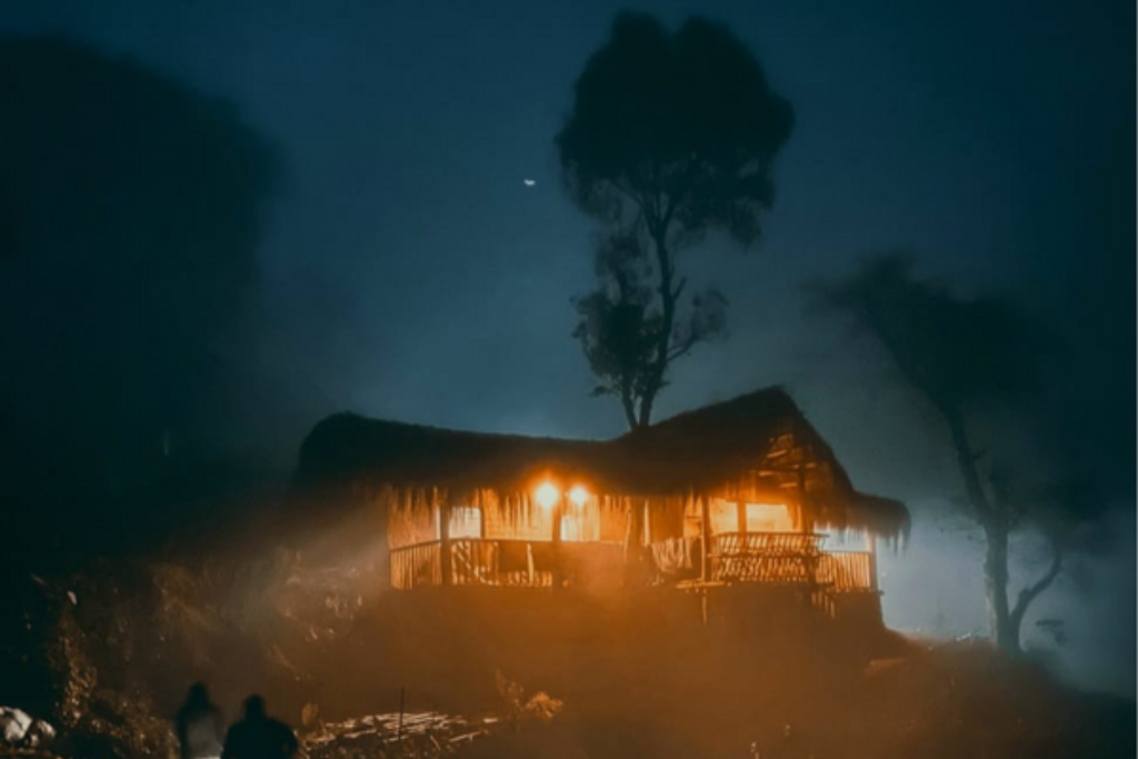
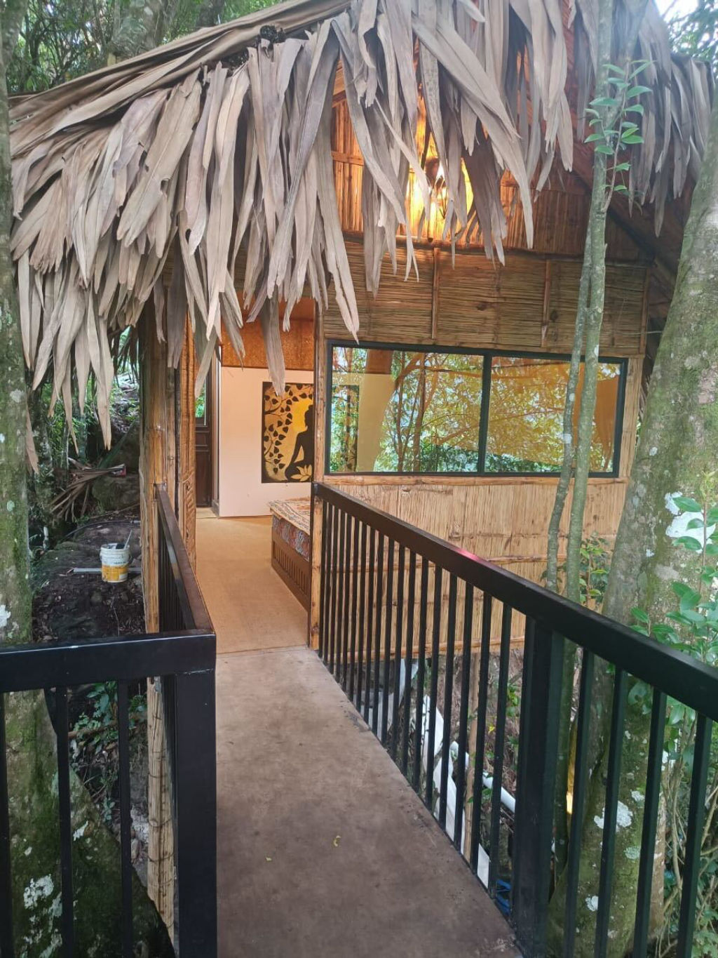
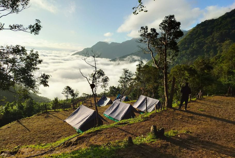
Marayur and the surrounding valleys offer a range of accommodation options suited for trekkers, families, and nature lovers. Staying close to Marayur allows travellers easy access to the trails around Kumarikkal Mala while remaining within reach of basic town amenities, local eateries, and village sights like the ancient dolmens and natural sandalwood groves.
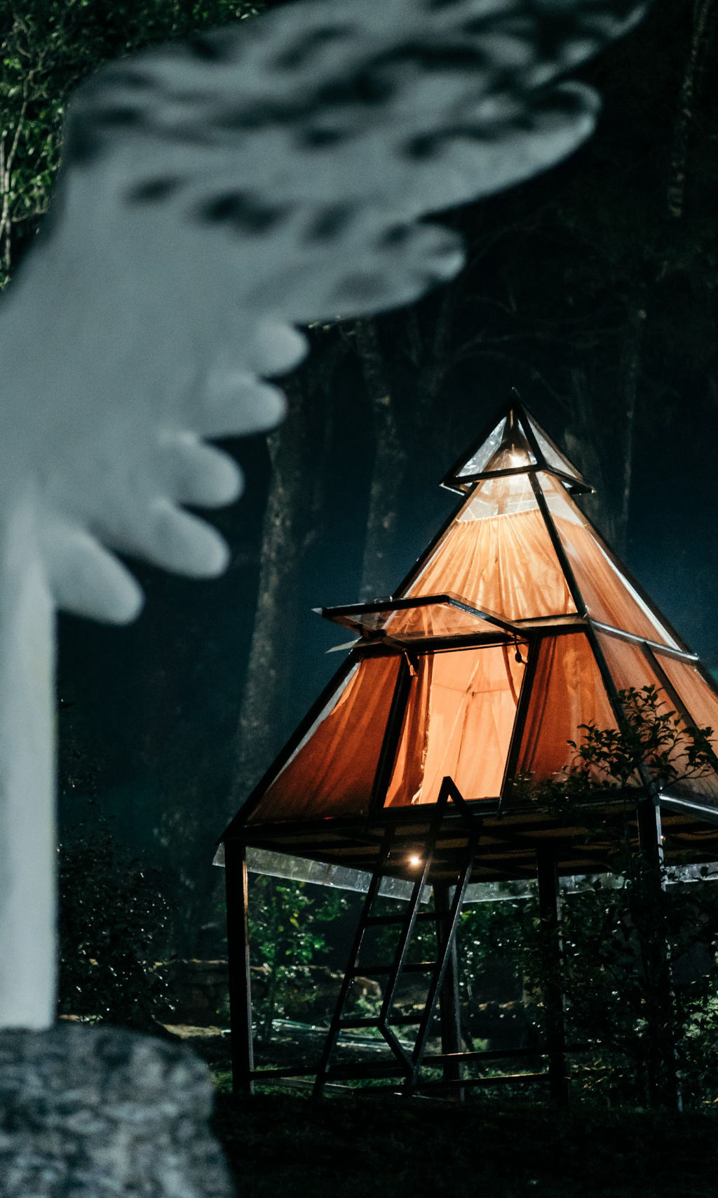
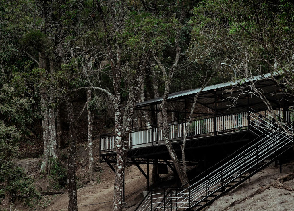
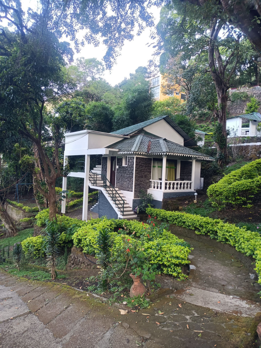
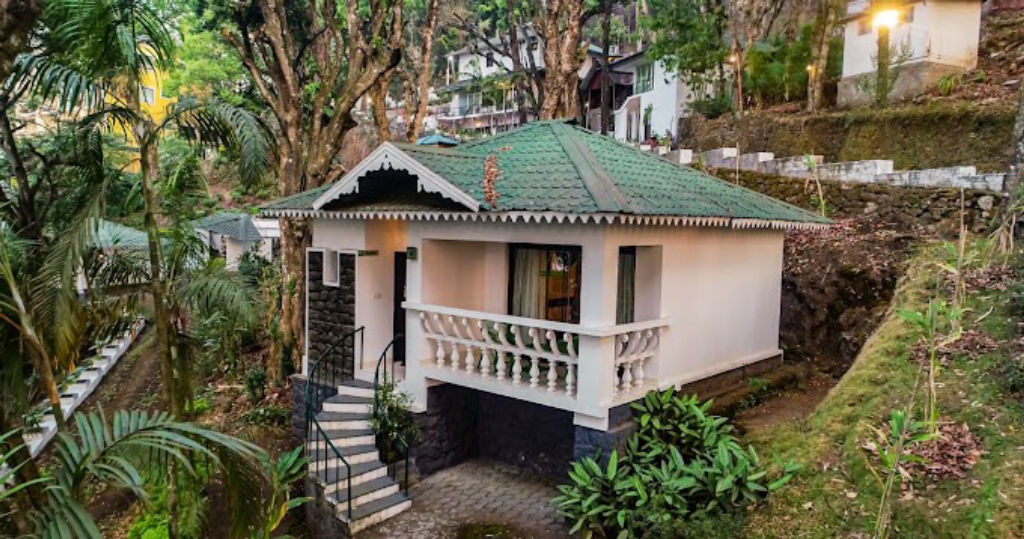
Options in the area range from scenic outdoor campsites on private land to peaceful homestays, plantation cottages, and rustic hillside retreats. These places allow visitors to experience authentic local hospitality, taste regional home-cooked cuisine, and wake up to cool mountain views. You can browse and book verified campsites, homestays, and outdoor stays around Marayur and Kumarikkal Mala directly on HireACamp.
Frequently asked questions
Where is Kumarikkal Mala located?
Kumarikkal Mala is a high-altitude mountain peak situated in the Western Ghats near the town of Marayur in Kerala, close to the border of Chinnar Wildlife Sanctuary and the Anamalai hills.
Is trekking allowed on Kumarikkal Mala?
Trekking along the ridges of Kumarikkal Mala depends on local forestry regulations, as parts of the peak border protected reserves. Travellers should check with local forest authorities in Marayur before starting any trek.
What is the best time of year to visit Kumarikkal Mala?
The ideal months to visit are from October to March, when the monsoon rains have cleared, leaving cooler temperatures, lush green meadows, and clear mountain vistas.
What wildlife can be seen around Kumarikkal Mala?
The peak and its surrounding shola grasslands are home to the Nilgiri tahr, Indian gaur, sambar deer, and diverse bird species like the Nilgiri pipit, with elephants frequently moving through lower valleys.
What should I pack for a hike to Kumarikkal Mala?
Pack sturdy trekking shoes, ample drinking water, high-energy snacks, a rain jacket, warm layers for windy ridges, and sun protection such as a hat and sunscreen.
Where you'll be
Kerala · 12 stays nearby shown with prices
Stays near Kumarikkal Mala
Book a place to stay close by
More places near Kumarikkal Mala
Within 20 km


Lists for this area
Ranked by how many creators recommend each place


Built from 0 Instagram posts by 0 creators. Every tip links back to the post it came from, and where creators disagree we show both sides.






