
Mukurti Peak
Peak near Avalanche, Tamil Nadu
11 km from Avalanche
The nearest town, for stays, food and fuel.
Mukurti Peak is a prominent mountain summit situated in the Nilgiris district of Tamil Nadu, near the plantation town of Naduvattam. Set amidst high-altitude grasslands and unique shola forest valleys, the peak forms an essential part of the Western Ghats landscape. Travellers and trekking enthusiasts are drawn here for its open ridge panoramas, crisp mountain air, and proximity to rich endemic wildlife.
Getting there
By road
- From Mysuru5 hr 5 min · 144 km
- From Coimbatore5 hr 20 min · 134 km
- From AvalancheNearest town5 hr 40 min · 110 km
- From Bengaluru7 hr 20 min · 293 km
Typical drive times without traffic. Stations and airports from OLA Maps; distances and typical drive times from OpenStreetMap (© OpenStreetMap contributors); notes from creators' Reels.
About Mukurti Peak
Written with AI from map data and general knowledge. Check prices and timings locally before you go.
The Landscape of Mukurti Peak
Mukurti Peak rises above the western edge of the Nilgiri plateau in Tamil Nadu, standing out as one of the most recognizable geological formations in the district. Characterized by steep escarpments on its western flanks and gently undulating plateau land to the east, the peak commands wide views across montane wilderness. Its high elevation exposes it directly to passing winds and seasonal weather fronts, shaping a stark and beautiful open country.
The terrain around Mukurti Peak is a classic example of the South Western Ghats montane grassland and shola ecosystem. Vast expanses of native tussock grass dominate the exposed hilltops, while pockets of stunted, evergreen shola woods survive in sheltered valleys, folds, and along streams. This interplay of grasslands and cloud-draped woodlands acts as a natural water catchment, feeding numerous rivulets and reservoirs across the plateau.
Flora and Wildlife around Mukurti Peak
The slopes and valleys surrounding Mukurti Peak are renowned among naturalists for their exceptional biodiversity and high degree of endemism. The most celebrated resident of this habitat is the Nilgiri tahr, an endangered mountain goat that navigates the precipitous rocky bluffs and grassy ridges with remarkable agility. The protected status of the broader surrounding terrain ensures that this vulnerable ungulate continues to find refuge here.
Alongside the tahr, the ecosystem supports a range of mammal and bird species adapted to cool high-altitude conditions. Birdwatchers visiting the lower fringes of the region may spot endemic species such as the Nilgiri pipit, black-and-orange flycatcher, Nilgiri laughingthrush, and painted bush quail. The plant life is equally distinctive, featuring hardy rhododendron trees, wild balsams, ground orchids, and lichens that flourish in the humid, misty environment.
Read more
Best Time to Visit Mukurti Peak
The weather around Mukurti Peak varies considerably with the changing seasons of the Western Ghats. The post-monsoon and winter window, lasting from October through February, offers the clearest skies and most comfortable walking conditions. Days during this period are typically sunny and cool, while nighttime temperatures drop significantly, often creating frosty mornings across the open grasslands.
From March to May, the region experiences pre-monsoon summer weather. Temperatures remain moderate compared to the plains, making it an agreeable escape from southern India's lowland heat, though trails can be dry. From June to September, the southwest monsoon brings fierce winds, relentless downpours, and thick cloud cover across the peak. While the rains recharge the streams and turn the slopes emerald green, trekking during peak monsoon is generally difficult and discouraged due to reduced visibility and slippery conditions.
How to Reach Mukurti Peak
Mukurti Peak lies in the western hills of the Nilgiris, with Naduvattam being the closest small town on the regional highway network. The primary transit hub for the area is Udhagamandalam, commonly known as Ooty, situated roughly 25 to 30 kilometers east of the peak area. Travellers typically establish their base in Ooty, Pykara, or Naduvattam before heading toward the peak.
For those travelling by air, Coimbatore International Airport is the primary gateway, located around 110 kilometers away by road. Kozhikode Airport in Kerala offers an alternate western approach via Gudalur. By rail, broad-gauge trains serve Coimbatore Junction and Mettupalayam, from where travellers can take mountain roads or the heritage Nilgiri Mountain Railway up to Ooty. From Ooty or Gudalur, local buses and private taxis ply along the highway passing Naduvattam. The final approach to the peak involves interior forest tracks and trekking paths, where vehicular movement is limited.
Trekking and Visiting Guidelines
Because Mukurti Peak is situated in an ecologically sensitive zone that borders protected wildlife territory, access to trekking trails and viewpoints is often strictly regulated. Travellers planning a walk or expedition towards the peak should verify current trail permissions and entry requirements with local forest department offices in Ooty or Naduvattam prior to starting their journey.
Anyone venturing out onto the high trails must come well prepared for variable mountain weather. A sunny morning can quickly transition into chilly wind or dense mist. It is advisable to pack windproof outer layers, sturdy footwear with reliable traction, rain protection, and sufficient drinking water. Visitors are required to maintain strict leave-no-trace practices, meaning all wrappers, containers, and waste must be carried back out. Loud noise, camping in unauthorized zones, and off-trail wandering should be avoided to minimize disturbance to local wildlife.
Places to Visit Near Mukurti Peak
Exploring the area around Mukurti Peak places travellers within convenient reach of several key attractions across the western Nilgiris. Pykara Lake, located approximately 13 kilometers away, is known for its wide blue waters fringed by pine stands and shola slopes. A short distance downstream lies Pykara Waterfall, where the river cascades over stepped granite shelves into the gorge.
Further along the ridge toward Gudalur, Needle Rock View Point, roughly 14 kilometers away, provides an impressive panoramic outlook over the lower valleys and Mudumalai plains. To the south across the plateau, Upper Bhawani Dam, situated around 15 kilometers away, is famous for its quiet reservoir set against deep rolling hills. Travellers returning east toward Ooty can explore the bustling Ooty Boat House or make the trip up to Doddabetta Peak, about 24 kilometers from the Mukurti area, to stand on the highest crest of the Nilgiri hills.
Where to Stay near Mukurti Peak
Direct accommodation options at Mukurti Peak are intentionally absent to protect the surrounding wildlife corridors and fragile montane ecology. Most visitors stay in neighboring areas such as Naduvattam, Pykara, or the wider Ooty circuit, which provide practical access for day trips into the surrounding countryside.
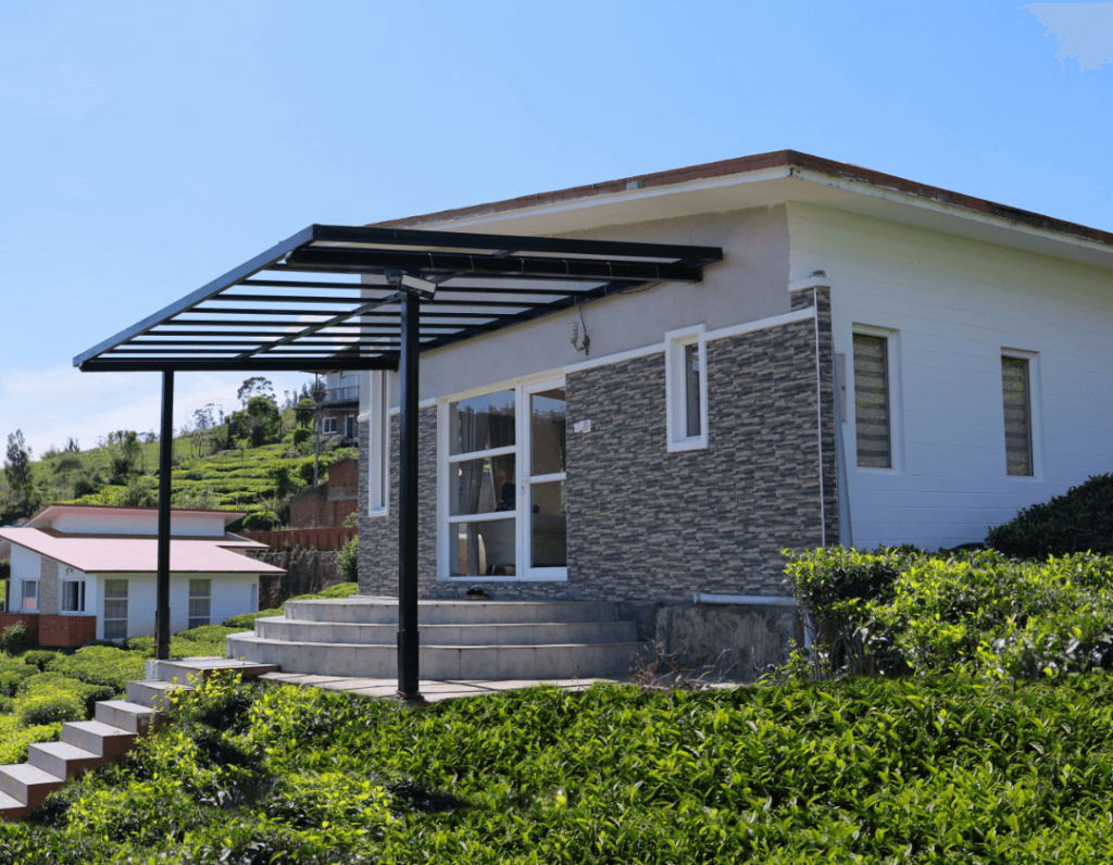
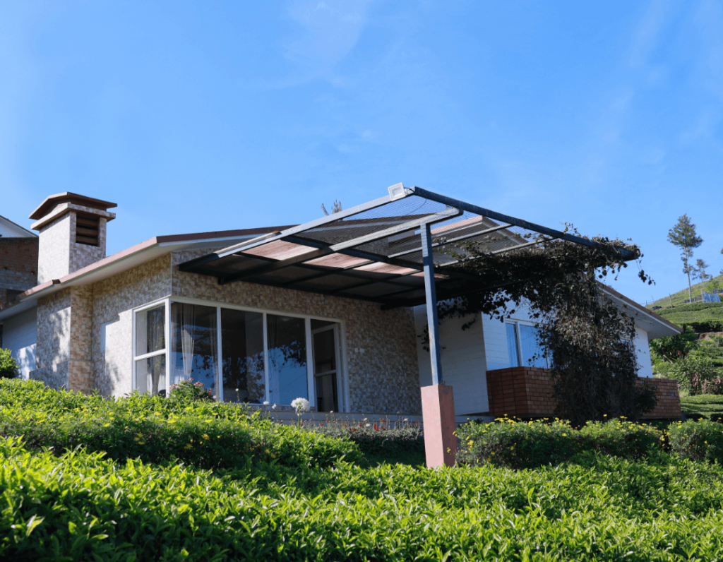
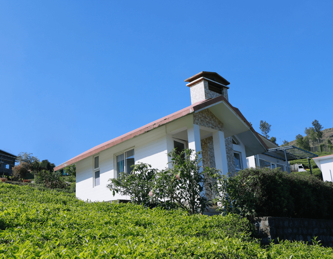
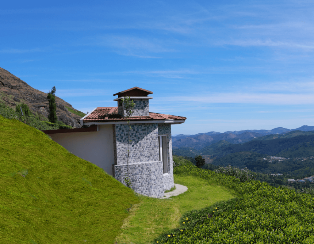
A variety of stays, ranging from tea estate homestays and rustic cottages to scenic outdoor campsites tucked into the Nilgiri countryside, can be found and booked on HireACamp. Choosing a stay on the quieter western side of the plateau ensures faster access to the walking paths, cooler surroundings, and an unhurried mountain setting.
Frequently asked questions
Where is Mukurti Peak located?
Mukurti Peak is situated in the Nilgiris district of Tamil Nadu, India, near the town of Naduvattam and roughly 25 to 30 kilometers west of Ooty.
Do I need permission to trek to Mukurti Peak?
Yes, because the peak sits in an ecologically sensitive zone near protected wildlife habitats, access is regulated. Visitors should check with local forest department authorities in Ooty or Naduvattam regarding current trek permissions and rules.
What is the best season to visit Mukurti Peak?
The best time to visit is from October to February, when the skies are generally clear, rainfall is minimal, and walking conditions are cool and comfortable.
What wildlife lives near Mukurti Peak?
The peak and its surrounding grasslands are home to the endangered Nilgiri tahr, as well as a variety of endemic montane birds like the Nilgiri pipit and black-and-orange flycatcher.
Can I camp overnight at Mukurti Peak?
Camping directly at Mukurti Peak or inside the protected forest perimeter is not permitted. Travellers can stay at registered campsites, homestays, or guest houses in nearby settlements such as Naduvattam and Pykara.
Where you'll be
Tamil Nadu · 10 stays nearby shown with prices
Stays near Mukurti Peak
Book a place to stay close by






More places near Mukurti Peak
Within 20 km


Lists for this area
Ranked by how many creators recommend each place


Built from 0 Instagram posts by 0 creators. Every tip links back to the post it came from, and where creators disagree we show both sides.






