
Mullayanagiri Peak
Peak near HirekoLale, Karnataka
1 post · 1 sourced tip
Guide from 1 post by 1 creator
@l____traveller
3.8 km from HirekoLale
The nearest town, for stays, food and fuel.
Visiting Mullayanagiri Peak
Essential travel information for visiting Mullayanagiri Peak near Chikkamagaluru.
Good to know
Tips from creators' posts. Each one links to its source.
Getting There
Mullayanagiri is located approximately 22 km from Chikkamagaluru.
Reported by @l____travellerSource
Getting there
By road
- From HirekoLaleNearest town44 min · 15 km
- From Mangaluru4 hr 30 min · 170 km
- From Mysuru4 hr 40 min · 194 km
- From Bengaluru5 hr 20 min · 265 km
By train, bus or air
- KSRTC Village Bus Stand, ChikkamagaluruNearest bus stand31 min · 22 km
- Terminal 1 Kempegowda International AirportNearest airport4 hr 20 min · 287 km
Typical drive times without traffic. Places, distances and typical drive times from OLA Maps; notes from creators' Reels.
About Mullayanagiri Peak
Written with AI from creators' posts and map data. Check prices and timings locally before you go.
The Highland Landscape of Mullayanagiri
Mullayanagiri stands as the highest point in Karnataka, forming part of the Chandra Drona or Baba Budangiri hill range in the Western Ghats. The peak takes its name from a small shrine dedicated to Sage Mullappa Swamy located right at the summit. The slopes surrounding the mountain are blanketed with shola grasslands, rugged rock outcrops, and valleys that drop steeply down toward the coffee-growing estates of the region.
The geography here creates a microclimate distinct from the plains of Karnataka. Cool breezes sweep over the ridges throughout much of the year, frequently wrapping the summit in dense fog. Because of its elevation, the peak provides a vantage point across the undulating ridges of the Western Ghats. Visitors come to experience the walking trail, the wide-open mountain scenery, and the shifting blanket of clouds that regularly rolls over the slopes.
Climbing to the Summit
Reaching the top of Mullayanagiri combines a winding hill drive with an uphill walk. The motorable road takes vehicles up to a dedicated parking area, from where a stone staircase leads directly to the summit and temple. The staircase consists of several hundred stone steps that follow the ridge line, allowing visitors to steadily climb while looking out across the adjoining valleys.
The walk from the base parking area requires moderate physical effort due to the gradient and the occasional strong gusts of wind along the exposed ridge. Trekkers looking for a longer route often follow trails starting from lower foothill villages, winding through grassland tracks and rocky paths before joining the upper steps. As you near the temple at the summit, the trail narrows, with safety railings lining portions of the steepest drops. The air at the crest is noticeably colder, and on clear mornings, the expansive horizon reveals endless layers of hills receding into the distance.
Read more
Best Time to Visit Mullayanagiri Peak
The post-monsoon and winter months, spanning from September through February, offer the most balanced conditions for visiting Mullayanagiri. During this period, the hills remain lush green from the recent seasonal rains, the air is crisp, and skies alternate between patches of sunlight and passing clouds. Winter mornings can be quite chilly, with temperatures dropping significantly before sunrise, making a warm outer layer necessary.
The monsoon season, running from June to August, transforms the landscape into deep green turf, but it brings intense rainfall and persistent mist. Trekking during peak monsoon demands caution, as the stone steps become slippery and wind speeds on the ridge can be fierce. Visibility at the summit can also drop to just a few meters during heavy showers. Summer months, between March and May, bring warmer temperatures during midday, but early mornings and late afternoons remain comparatively mild compared to low-lying areas.
How to Reach Mullayanagiri Peak
Mullayanagiri is situated approximately 22 km from the town of Chikkamagaluru, which serves as the primary base for exploring the area. From Chikkamagaluru, the route climbs steadily along winding mountain roads flanked by thick tree cover and sprawling coffee estates. Drivers should exercise care, as sections of the ghat road are narrow, with sharp hairpin curves that require yielding to oncoming vehicles.
For travellers arriving by road from major cities, typical driving times without heavy traffic vary. The drive from Mangaluru covers roughly 170 km and takes about 4 hours and 30 minutes. Travellers heading from Mysuru have a journey of around 194 km, which typically takes 4 hours and 40 minutes. Coming from Bengaluru requires driving approximately 265 km, taking around 5 hours and 20 minutes along well-connected national and state highways before ascending the hills. From Coimbatore, the road journey covers roughly 396 km and takes about 9 hours and 20 minutes.
Tips for Your Visit
Planning your ascent for early morning helps you avoid peak visitor traffic on the single-lane stretches of the approach road and allows you to enjoy cooler temperatures while climbing the stairs. Weekends and regional holidays often see higher vehicle counts, leading to slow movement near the parking zone, so starting early is recommended.
Wear sturdy walking shoes with reliable traction, as the stone steps can be worn smooth or dampened by mist and dew. A windbreaker or light fleece is essential even on days that feel warm at the foothills, because wind chill at the summit is pronounced. Carry sufficient drinking water and snacks, but take responsibility for packing out all personal waste, as litter disposal facilities on the ridge are limited. Visitors should also check locally for current forest department regulations, designated entry hours, or vehicle restrictions that may be active during specific seasons.
Places to Visit Nearby
The highland belt around Mullayanagiri features several other notable outdoor stops that can be visited in the same circuit. Hirekolale Lake is located roughly 4 km away in straight-line terms, set within a quiet basin bordered by forested hills and coffee plantations. The lake provides a calm waterside environment and is a common spot for taking in evening reflections against the surrounding hills.
Another nearby attraction is the route toward Jhari water falls path, situated about 4 km away. This area leads toward a gushing mountain waterfall tucked within private estate lands and forest patches, usually accessed by rugged trail vehicles or on foot. Further along the mountain ridges, around 19 km away, lies Z Point, a prominent vantage area known for steep cliff drop-offs and sweeping views over the Kemmangundi hill ranges.
Where to Stay near Mullayanagiri Peak
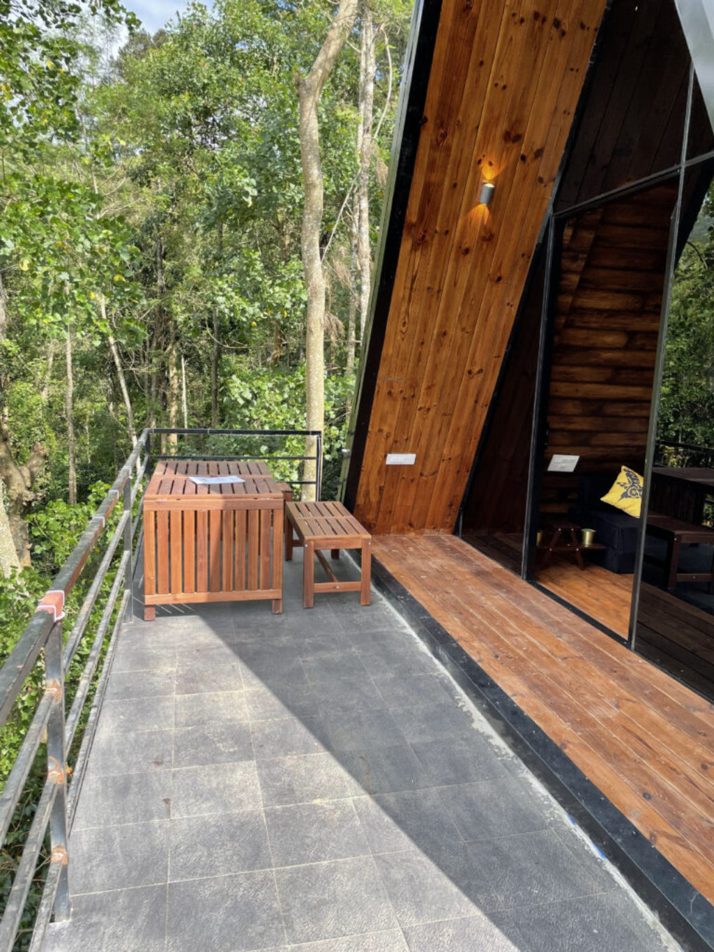
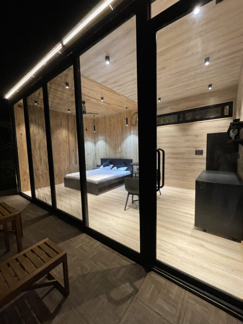
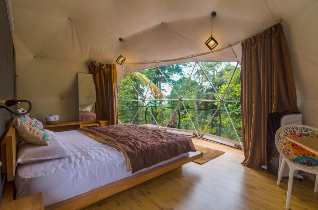
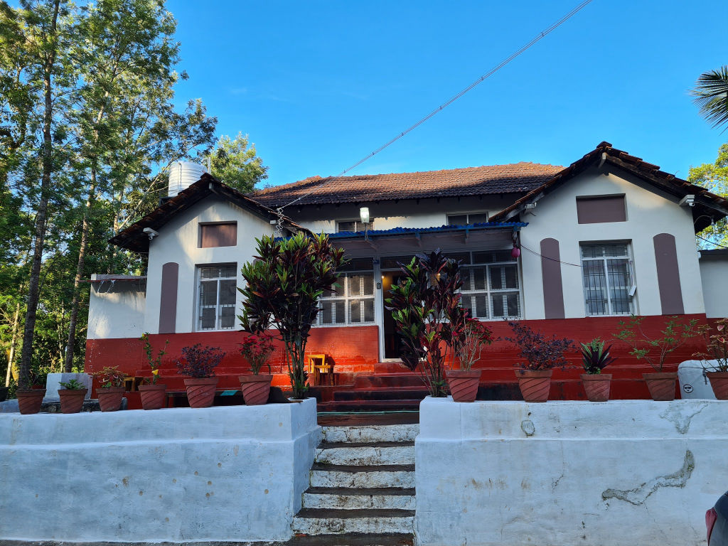
Staying in the countryside surrounding Mullayanagiri gives you direct access to the coffee culture and highland environment of the Western Ghats. Accommodation in the region predominantly consists of rural homestays tucked into working coffee plantations, as well as nature campsites positioned along hillside clearings and valley floors.
Choosing a stay near the base of the hills makes an early morning ascent much more manageable and allows you to experience quiet, cool nights away from urban noise. You can explore and book verified campsites, private estate homestays, and outdoor getaways close to Mullayanagiri Peak directly on HireACamp.
Frequently asked questions
Where is Mullayanagiri Peak located?
Mullayanagiri Peak is situated in the Western Ghats of Karnataka, approximately 22 km from the town of Chikkamagaluru.
Can you drive directly to the summit of Mullayanagiri?
Vehicles can drive up to a designated parking area near the top, after which visitors must climb a series of stone steps to reach the temple and the absolute summit.
How long does it take to climb the steps at Mullayanagiri?
The staircase ascent from the vehicle parking area to the summit usually takes between 20 to 45 minutes, depending on your pace and fitness level.
What should I wear when visiting Mullayanagiri Peak?
It is best to wear comfortable walking shoes with good grip and carry a light jacket or windbreaker, as summit winds can make it surprisingly cold.
Is Mullayanagiri Peak accessible during the monsoon?
The peak remains open during the monsoon, but heavy rains, high winds, and dense fog can create slippery paths and limit summit visibility, so check local weather before heading up.
Where you'll be
Mullayanagiri Peak, Aralaguppe, Karnataka 577131 · 5 stays nearby shown with prices
As seen on Instagram
The posts this guide is built from
Stays near Mullayanagiri Peak
Book a place to stay close by
Often visited together
Creators who went here also showed these


More places near Mullayanagiri Peak
Within 20 km


Built from 1 Instagram post by 1 creator. Every tip links back to the post it came from, and where creators disagree we show both sides. Guide updated 23 Oct 2026.






