
Jhari water falls path
Waterfall near Inam Dattathreya Peeta, Karnataka
1 post · 1 sourced tip
Guide from 1 post by 1 creator
@l____traveller
500 m from Inam Dattathreya Peeta
The nearest town, for stays, food and fuel.
Travel Guide to Jhari Waterfalls Path
Basic travel and route information for reaching Jhari Waterfalls from nearby hubs.
Good to know
Tips from creators' posts. Each one links to its source.
Getting There
Jhari Falls is located approximately 25 km from Chikkamagaluru.
Reported by @l____travellerSource
Getting there
By road
- From Inam Dattathreya PeetaNearest town3 min · 1 km
- From Mangaluru4 hr 25 min · 170 km
- From Mysuru4 hr 35 min · 194 km
- From Bengaluru5 hr 15 min · 265 km
By train, bus or air
- KSRTC Bus Stand ChikkamagalurNearest bus stand33 min · 21 km
- Shimoga AirportNearest airport1 hr 55 min · 94 km
Typical drive times without traffic. Places, distances and typical drive times from OLA Maps; notes from creators' Reels.
About Jhari water falls path
Written with AI from creators' posts and map data. Check prices and timings locally before you go.
Walking the Jhari water falls path
The path to Jhari Waterfalls, often called Buttermilk Falls due to the frothy spray it creates against black rocks, begins off the winding mountain roads near Inam Dattathreya Peeta. The route winds down through private plantation terrain, dense forest canopies, and tumbling streams. While walking down, you are surrounded by mature silver oak trees draped with pepper vines, broad-leaved coffee bushes, and vibrant hillside flora.
The trail itself is an unpaved, uneven track that cuts down the hillside. Because of the rugged and steep gradient, normal private passenger vehicles typically cannot navigate this route. Visitors either trek down the pathway on foot to enjoy the cool mountain air or hire local off-road four-wheel-drive vehicles stationed near the main road junction. Walking allows you to take in the birdcalls, the gentle gurgling of mountain streams, and the rich scent of moist estate soil at an unhurried pace.
The landscape and setting
Located in the rugged heart of Chikkamagaluru district, this part of the Western Ghats is famous for high-elevation ridges, rolling shola grasslands, and deep riverine valleys. The hill slopes around Jhari water falls path act as an important catchment for seasonal mountain streams that feed into the Bhadra river basin.
The climate remains pleasantly cool for most of the year thanks to the elevation and dense plant cover. The microclimate under the canopy is humid and refreshing, providing refuge from the warmer plains below. Wildlife in the surrounding forests and estates includes a diverse variety of woodland birds, giant squirrels, cicadas, and small amphibians. During quieter hours, the canopy resonates with birdsong, making the trek along the path deeply immersive.
Read more
Best time to visit Jhari water falls
The appearance of the falls and the character of the path shift dramatically across the seasons. The monsoon months between July and September bring heavy downpours that recharge the mountain streams. During this time, the waterfall swells into a thundering torrent and the hillsides turn extraordinarily green, though the path can become very slippery, muddy, and populated by leeches.
The post-monsoon and winter months, from October through February, are widely considered the ideal window to visit. Rainfall subsides to occasional light showers, the water remains clean and plentiful, and the walking track becomes much easier to traverse. The weather is crisp and clear, making outdoor treks comfortable. By March and April, daytime temperatures warm up and the flow of the waterfall gradually tapers down until the arrival of the next seasonal rains.
How to reach Jhari water falls path
Reaching the starting point of the trail is relatively simple from major cities in southern India, with the district hub of Chikkamagaluru serving as the main staging point. The falls are located around 25 kilometres uphill from Chikkamagaluru town along the road heading toward the Bababudan range.
From Bengaluru, the drive takes approximately 5 hours and 20 minutes across a distance of around 265 kilometres via national and state highways. If you are travelling from Mangaluru on the coast, the journey spans about 170 kilometres and takes roughly 4 hours and 30 minutes, climbing through the ghat passes. Travellers driving from Mysuru can expect a 194-kilometre journey requiring about 4 hours and 40 minutes. For those coming from Coimbatore in Tamil Nadu, the drive is longer, covering roughly 397 kilometres and taking about 9 hours and 20 minutes under normal traffic conditions. From Chikkamagaluru, local taxis and buses head toward Inam Dattathreya Peeta, dropping visitors near the designated junction.
Tips for your visit
Given the rugged and natural nature of the terrain, proper planning will make your journey much safer and more enjoyable. Wear sturdy trekking shoes or hiking boots with aggressive tread, as loose gravel, steep declines, and slick mud can make footing tricky along the trail. If you are visiting during or just after the monsoon, carrying salt or applying anti-leech remedies to your footwear is strongly recommended.
Carry sufficient drinking water and light refreshments, but remember that the region is an ecologically sensitive forested habitat. Ensure all plastic wrappers, bottles, and personal waste are packed back out with you and disposed of responsibly. Since mobile network coverage can be patchy along forested slopes, download offline maps before setting off from Chikkamagaluru. Local access guidelines or jeep operational timings can vary by weather and local conditions, so it is always wise to inquire locally upon arrival.
Places to visit nearby
The hills surrounding Jhari water falls path are packed with scenic vantage points and nature spots, allowing you to combine several visits into a single trip. Mullayanagiri Peak, the highest summit in Karnataka, is situated just 4 kilometres away in straight-line distance. The drive up to the base and the subsequent stair climb reward travellers with sweeping panoramic views above the clouds.
Another serene spot is Hirekolale Lake, approximately 8 kilometres away. Nestled among rolling hills, this placid lake is famous for peaceful strolls and evening sunsets over the water. Further along the mountain range, roughly 15 kilometres away, lies Z Point near Kemmanagundi. Z Point is a dramatic ridge-edge viewpoint accessible via a scenic walking trail that overlooks vast forested valleys, making it an excellent pairing for nature lovers exploring this belt of the Western Ghats.
Where to stay
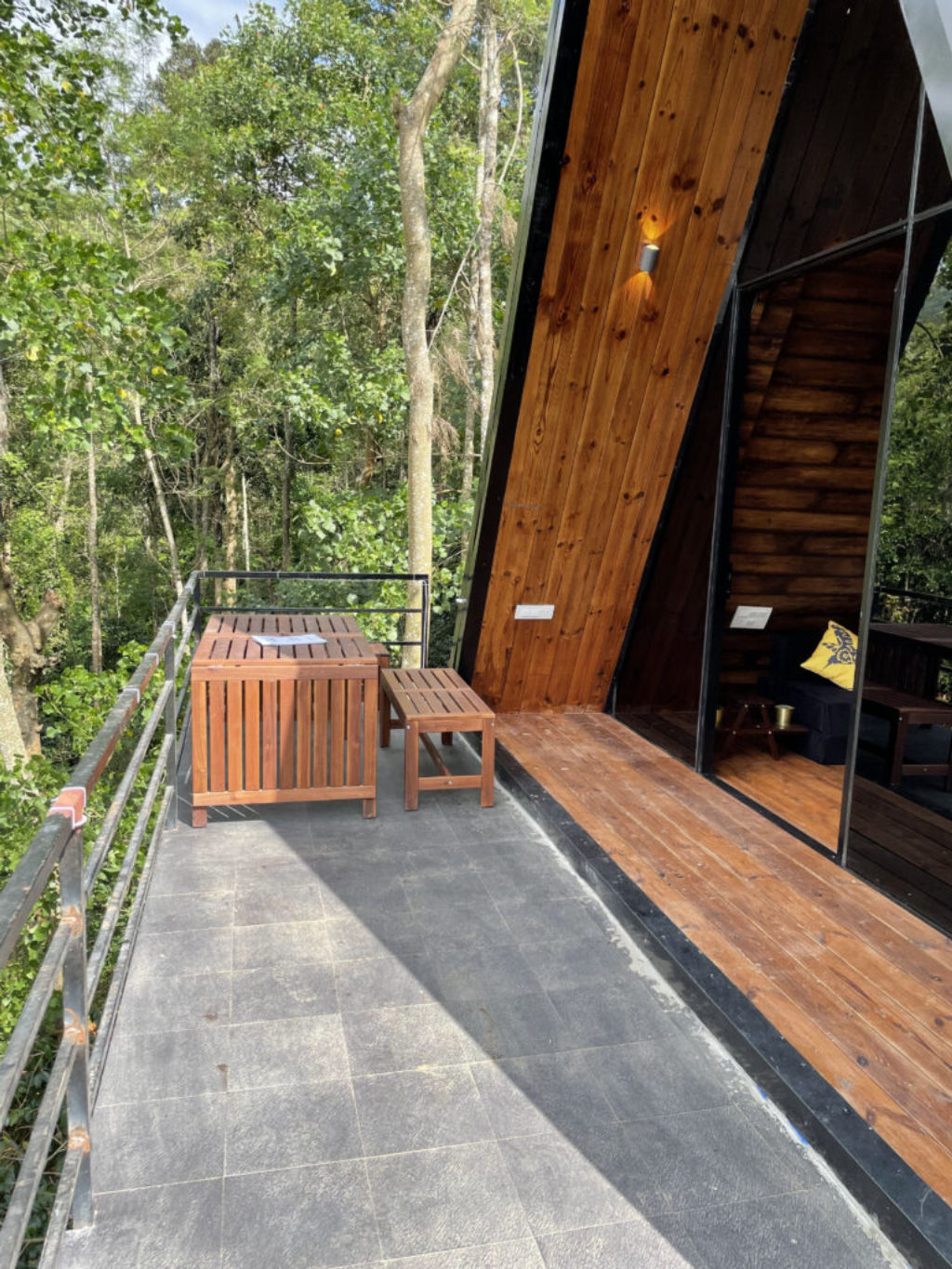
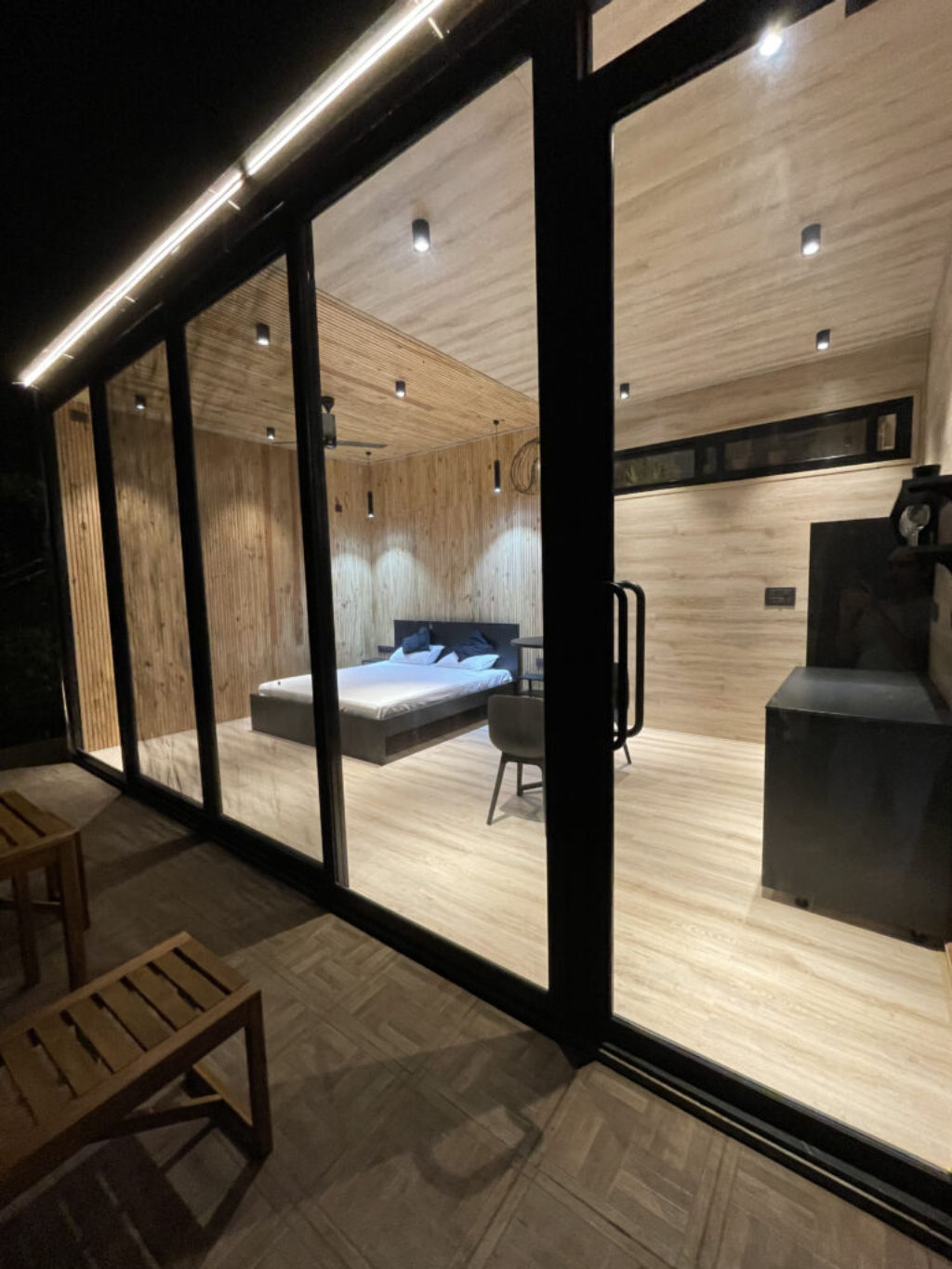
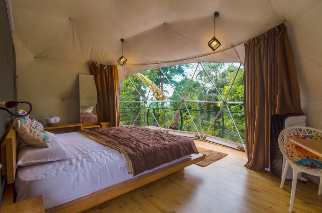
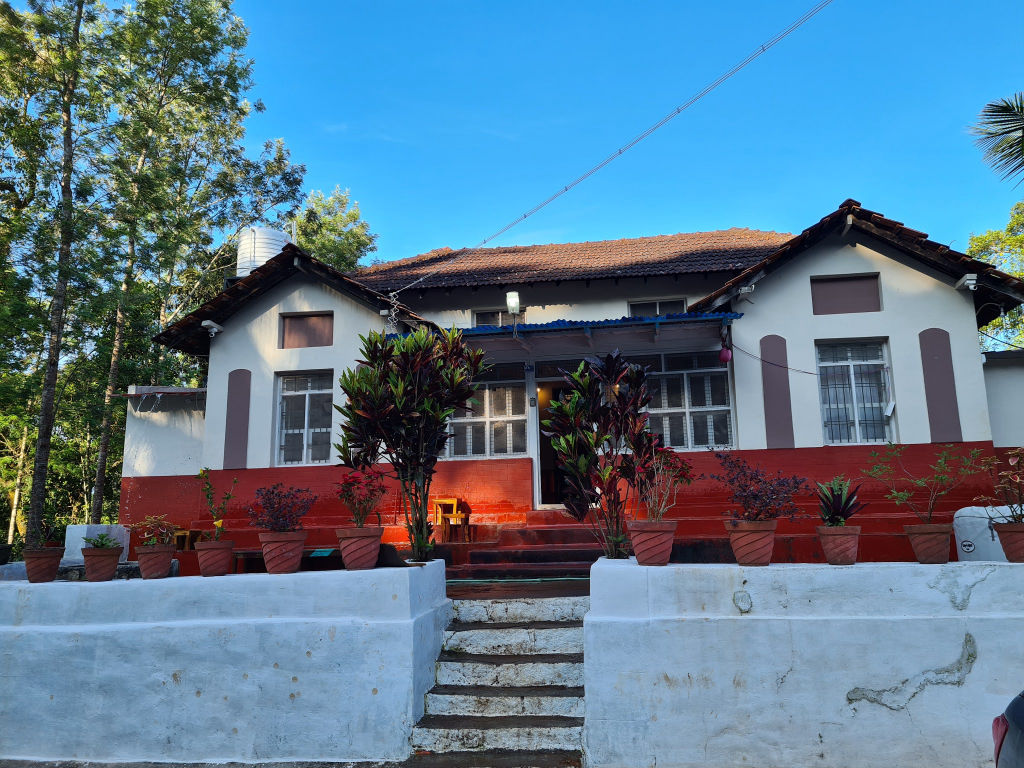
The countryside surrounding Inam Dattathreya Peeta and Chikkamagaluru offers a rich selection of stays immersed in nature. Rather than typical urban hotels, the area is best experienced by staying amidst active coffee estates, wooded valleys, and mountain foothills.
You can find authentic estate homestays, riverside nature camps, and rustic wilderness getaways on HireACamp. Booking a stay nearby allows you to wake up to the cool morning mist, sample locally grown coffee, and reach trails like the Jhari water falls path early in the day before day-tripper crowds arrive.
Frequently asked questions
How far is Jhari Waterfalls from Chikkamagaluru?
Jhari Waterfalls is located approximately 25 kilometres from Chikkamagaluru town, situated along the route leading toward the Baba Budan Giri hills.
Can private cars drive directly down the Jhari water falls path?
Private cars generally cannot drive down the path because it is a steep, unpaved plantation trail with deep ruts and boulders. Visitors typically walk down on foot or hire local four-wheel-drive vehicles at the starting junction.
What should I wear when visiting Jhari Waterfalls?
Wear comfortable outdoor clothing and sturdy walking shoes with reliable grip to handle the uneven, gravelly track. If visiting during the monsoon season, rain gear and leech protection are recommended.
What is the best time of year to visit Jhari Waterfalls?
The post-monsoon and winter months from October to February offer the best experience, featuring comfortable walking conditions, clear skies, and healthy waterfall flow.
Are there other places to see near Jhari water falls path?
Yes, nearby highlights include Mullayanagiri Peak just 4 kilometres away, Hirekolale Lake 8 kilometres away, and the scenic Z Point viewpoint roughly 15 kilometres away.
Where you'll be
Jhari water falls path, Inam Dattathreya Peeta, Karnataka 577131 · 5 stays nearby shown with prices
As seen on Instagram
The posts this guide is built from
Stays near Jhari water falls path
Book a place to stay close by
Often visited together
Creators who went here also showed these


More places near Jhari water falls path
Within 20 km


Built from 1 Instagram post by 1 creator. Every tip links back to the post it came from, and where creators disagree we show both sides. Guide updated 23 Oct 2026.






