
Z Point
Viewpoint near Kemmannugundi, Karnataka
1 post · 1 sourced tip
Guide from 1 post by 1 creator
@l____traveller
1 km from Kemmannugundi
The nearest town, for stays, food and fuel.
Travel Guide to Z Point
Z Point is a scenic vantage point located approximately 35 km from Chikkamagaluru.
Good to know
Tips from creators' posts. Each one links to its source.
Getting There
Z Point is located approximately 35 km from Chikkamagaluru.
Reported by @l____travellerSource
Getting there
By road
- From KemmannugundiNearest town10 min · 3.6 km
- From Inam Dattathreya Peeta1 hr 40 min · 65 km
- From Mysuru4 hr 45 min · 215 km
- From Bengaluru5 hr 10 min · 273 km
By train, bus or air
- KSRTC Bus Stand ChikkamagalurNearest bus stand1 hr 10 min · 57 km
- Shimoga AirportNearest airport1 hr 20 min · 58 km
Typical drive times without traffic. Stations and airports from OLA Maps; distances and typical drive times from OLA Maps and OpenStreetMap (© OpenStreetMap contributors); notes from creators' Reels.
About Z Point
Written with AI from creators' posts and map data. Check prices and timings locally before you go.
The landscape of Z Point
Z Point sits perched high in the rugged hill tracts of Chikkamagaluru district, offering one of the most expansive vantage points in the region. The geography here is marked by rolling Shola forests interspersed with open montane grasslands, deep gorges, and craggy ridgelines characteristic of the Western Ghats.
The viewpoint derives its charm from its location at the edge of a narrow escarpment. On clear mornings, you can gaze across multiple layers of mist-draped peaks stretching into the horizon, while evenings bring deep shadows and golden light across the coffee estates and forested valleys below. Because of the open terrain and high elevation, winds can be strong, sweeping up moisture from the valleys to create swirling cloud formations that frequently envelop the cliff edge.
The hiking trail to Z Point
Reaching Z Point involves a scenic walk along a well-defined mountain path. The trail winds along the flank of the hill, balancing rocky stretches with grassy slopes and offering continuous views of the plains and gorges along the way. While generally considered an accessible hike for people of basic fitness, parts of the trail can be narrow and exposed, calling for cautious footing.
During the walk, hikers cross minor mountain rills and rocky patches that can become slippery after sudden rain. The final push leads onto a sharp ridge where the trail narrows slightly before reaching the vantage point itself. Taking your time along the route allows you to observe native birdlife, wild mountain flora, and the shifting play of light across the landscape.
Read more
Best time to visit Z Point
The climate around Z Point changes significantly across the seasons, offering distinctly different outdoor experiences throughout the year.
The post-monsoon and winter months, from October through February, are widely considered the ideal time to visit. During this period, the hills are lush and green from the seasonal rains, daytime temperatures remain moderate and pleasant, and the skies are clear enough to ensure long-distance visibility. Early mornings can feel quite brisk, making an extra layer of clothing useful.
Monsoon season, spanning from June to September, brings intense downpours, swirling fog, and rapid weather shifts. The entire landscape turns an electric green, and seasonal streams swell with fresh water. However, mist can obscure the views entirely, and paths can become muddy, slick, and populated by leeches. The pre-monsoon summer months, from March to May, bring warmer afternoons and drier foliage, but early morning and late afternoon visits remain comfortable and rewarding.
How to reach Z Point
Z Point is situated approximately 35 kilometres from Chikkamagaluru town, which acts as the main base for road travel and logistics in the area. The drive from the town leads up through winding ghat roads, tea gardens, and coffee plantations.
If you are travelling from Bengaluru, the road distance is roughly 273 kilometres, typically taking about 5 hours and 10 minutes under normal traffic conditions via state and national highways. Travellers coming from Mysuru face a drive of around 215 kilometres, which generally takes about 4 hours and 50 minutes. From the coastal city of Mangaluru, the route spans approximately 205 kilometres and takes about 5 hours and 10 minutes as it ascends the Western Ghats. For those driving from Coimbatore, the journey covers roughly 419 kilometres and takes around 9 hours and 20 minutes.
Local taxis and private vehicles can bring you close to the trail entrance, but road conditions and parking access can vary with local maintenance and weather, so it is wise to confirm current route conditions before setting out.
Places to visit around Z Point
The broader Chikkamagaluru region is renowned for its diverse mountain scenery, making it easy to combine a trip to Z Point with other outdoor landmarks.
Roughly 15 kilometres in straight-line distance lies the Jhari waterfalls path, where seasonal torrents flow down forested rocky faces amidst private coffee plantations. Higher up along the main mountain spine is Mullayanagiri Peak, approximately 19 kilometres away, which stands as the highest peak in Karnataka and provides wide-angle views over the Baba Budangiri range.
Lower down toward the foothills, about 22 kilometres away, lies Hirekolale Lake. Framed by surrounding hills, this peaceful freshwater body is a popular spot for travellers looking to unwind beside still waters in the late afternoon.
Practical tips for your visit
Because Z Point is an open ridge without natural shade or facilities, preparation is essential for a comfortable outing. Wear sturdy walking shoes with dependable tread, as gravel, wet rock, and steep slopes can be tricky to navigate. Carry adequate drinking water and light refreshments, ensuring that you pack out all your wrappers and waste to preserve the fragile mountain ecology.
If you are visiting during or right after the rainy season, carry salt or insect repellent to manage leeches, and bring a rain jacket or windcheater to handle rapid temperature drops and sudden showers. Starting early in the morning helps you beat the midday heat and increases your chances of enjoying wide, clear valley views before cloud cover builds up.
Where to stay near Z Point
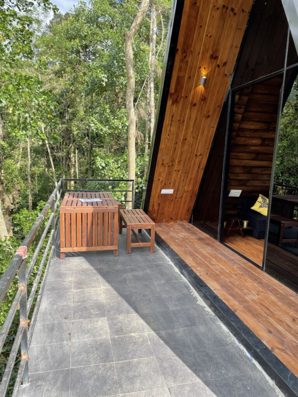
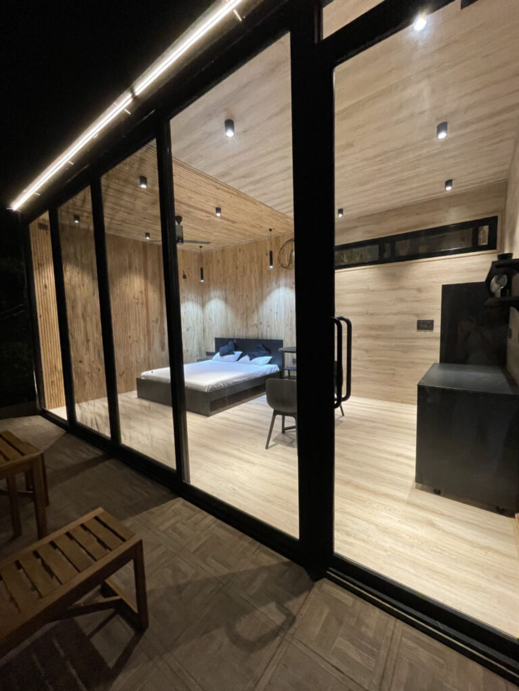
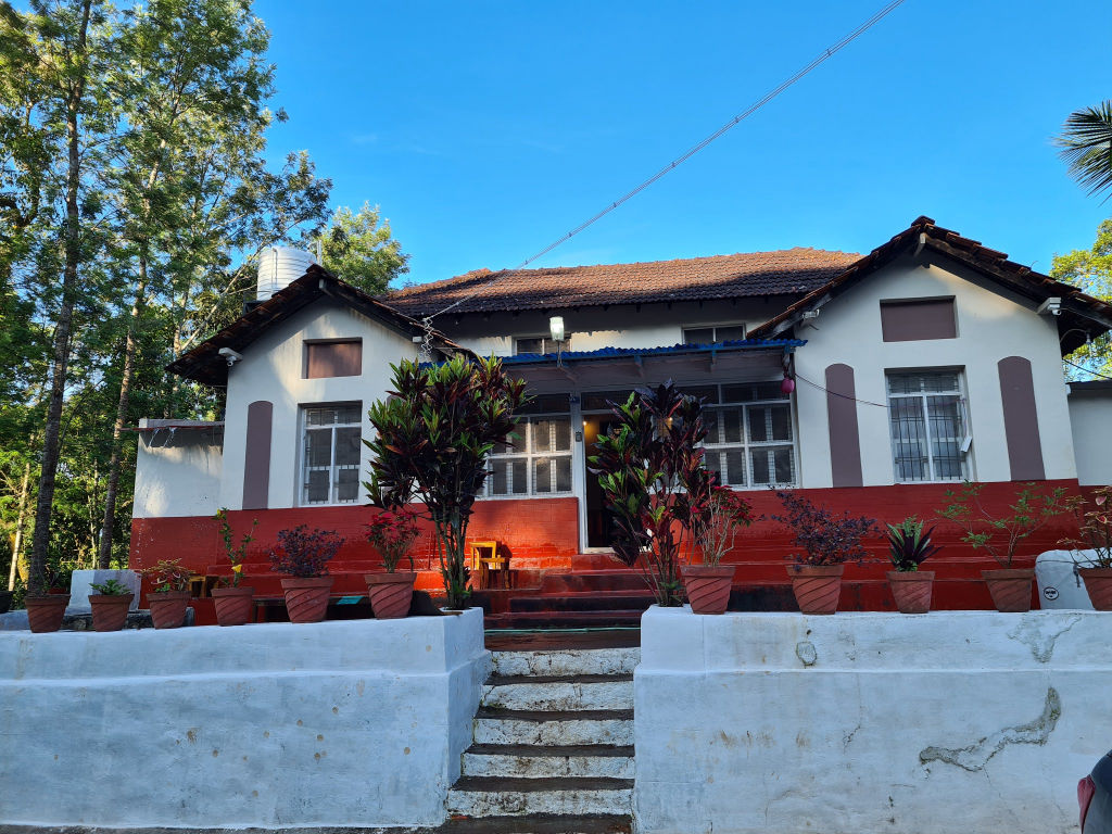
Travellers visiting Z Point generally choose to base themselves either in Chikkamagaluru town or among the surrounding plantation valleys. The district features a broad selection of rural homestays, nature retreats, and wilderness campsites that place you close to hiking trails and coffee estates.
You can browse and book verified campsites, rustic cottages, and local homestays across the Chikkamagaluru hills on HireACamp to suit your travel style.
Frequently asked questions
How far is Z Point from Chikkamagaluru?
Z Point is located approximately 35 kilometres from the town of Chikkamagaluru, accessible by road followed by a short hiking trail.
Is the hike to Z Point difficult?
The walk is considered moderately easy, though it includes rocky terrain, exposed ridge sections, and narrow paths that require careful footing.
What is the best time of day to hike Z Point?
Early morning is the best time to hike, as temperatures are cool, the winds are steady, and visibility across the valleys is usually at its clearest before mist sets in.
Are there food stalls or facilities at Z Point?
There are no permanent amenities or food stalls directly at the viewpoint. Visitors should carry sufficient water and snacks, and check locally in the nearest settlement for dining options.
Where you'll be
Z Point, Karnataka 577129 · 5 stays nearby shown with prices
As seen on Instagram
The posts this guide is built from
Stays near Z Point
Book a place to stay close by


Often visited together
Creators who went here also showed these


More places near Z Point
Within 20 km


Built from 1 Instagram post by 1 creator. Every tip links back to the post it came from, and where creators disagree we show both sides. Guide updated 23 Oct 2026.






