
Galikere Lake
Lake near Attigundi, Karnataka
3.2 km from Attigundi
The nearest town, for stays, food and fuel.
Galikere Lake is a high-altitude water body perched amidst the rugged ridges of the Baba Budanagiri range in Chikmagalur, Karnataka. Situated over a thousand metres above sea level, the lake is flanked by rolling shola grasslands, weathered rock formations, and sweeping views of the surrounding Western Ghats. Travellers and hikers visit this spot to experience cool mountain breezes, dramatic cloud cover, and an untouched landscape far from busy tourist corridors.
Getting there
By road
- From AttigundiNearest town45 min · 9.2 km
- From Mangaluru4 hr 35 min · 182 km
- From Mysuru5 hr 40 min · 214 km
- From Bengaluru6 hr 40 min · 270 km
Typical drive times without traffic. Stations and airports from OLA Maps; distances and typical drive times from OpenStreetMap (© OpenStreetMap contributors); notes from creators' Reels.
About Galikere Lake
Written with AI from map data and general knowledge. Check prices and timings locally before you go.
About Galikere Lake
Galikere Lake takes its name from the Kannada words for wind and lake, reflecting its exposed position high up on the mountain ridge where brisk breezes sweep across the water throughout the year. Located within the scenic Muttinapura area in the Baba Budanagiri hills, the lake serves as a serene natural catchment surrounded by distinctive montane grass slopes and rocky outcrops typical of the Western Ghats.
The lake sits in an environmentally fragile zone characterised by shola forest pockets tucked into valleys and expansive grasslands blanketing the crests. Because of its elevated perch, the lake offers unobstructed perspectives over the deep folds of the Jagar Valley and the endless green spurs that define Chikmagalur district. Unlike well-manicured urban lakes, Galikere maintains an untamed, wilderness character that appeals to nature lovers, solitude seekers, and photographers looking for atmospheric hill country views.
The landscape and trail to Galikere
Visiting Galikere Lake typically involves navigating the winding mountain roads that snake up from Chikmagalur into the Baba Budanagiri range. The final approach to the lake is an unpaved, uneven track composed of loose gravel, dirt, and rocky sections that can be demanding for standard city cars. Many visitors choose to cover the final stretch by walking or using rugged vehicles capable of handling rough terrain.
Walking the path toward Galikere offers an immersive sensory experience. As you ascend, the air cools noticeably and mist frequently gathers across the trail, parting occasionally to reveal dramatic drops and rolling green meadows. Small birds of prey, high-altitude songbirds, and grazing cattle often share this mountain saddle. The open expanse around the water provides plenty of quiet vantage points where you can pause, watch the water ripple against the stony banks, and take in the sheer scale of the surrounding ridges.
Read more
Best time to visit Galikere Lake
The atmosphere at Galikere Lake shifts markedly with the seasons, making timing an essential consideration when planning your trip. The post-monsoon months from September through November bring vivid greenery across the grasslands and ensure the lake is filled to its brim. Temperatures during this window are moderate, and passing clouds create dynamic, photogenic light across the peaks.
Winter, spanning December to February, offers crisp morning air, dry walking tracks, and exceptionally clear panoramic views across the Western Ghats. Daytime conditions are pleasant under gentle sunshine, though early mornings and evenings can turn chilly due to persistent mountain winds. The summer period from March to May brings warmer days, though the altitude keeps it significantly cooler than the surrounding lowlands. During the core monsoon months of June through August, torrential rainfall, dense fog, and slick tracks make access difficult, requiring extra caution on the mountain roads.
How to reach Galikere Lake
Chikmagalur is the primary gateway for reaching Galikere Lake. The town has straightforward road connections to major transport hubs across Karnataka, including Mangalore and Bangalore. Mangalore houses the nearest domestic airport and a major railway junction, while regular train and bus services link Chikmagalur to Bangalore and Hassan.
From Chikmagalur town, travelers proceed along the winding hill road that climbs through coffee estates and mountain passes toward the Baba Budanagiri shrine area. As you branch off toward Galikere, the pavement gives way to a rocky mountain path. You can hire local 4x4 taxis from the town or nearby trailheads if your private vehicle is not suited for rough gravel. Always verify local track conditions before setting out, especially following heavy seasonal showers.
Places to explore around the lake
The Baba Budanagiri range holds an array of cultural and outdoor landmarks within close proximity to Galikere Lake. The Baba Budan Hills themselves feature ancient cave shrines and historical pilgrimage sites nestled right into the crags. Nearby, Kavikal Gandi Viewpoint provides sweeping vistas of the mountain passes and deep valleys that plunge into the surrounding forest reserves.
Those interested in hill trekking can venture towards Mullayanagiri Peak, the highest summit in Karnataka, or visit the cliffside Seethalayyanagiri Temple along the route. Down the slopes, Jhari Waterfalls cuts through private coffee groves and forest patches, creating a lively mountain stream. Farther into the foothills lies the expansive Bhadra Wildlife Sanctuary and the dense woodlands of Muthodi, home to native flora, elephants, and rich birdlife.
Tips for your visit and where to stay
Because Galikere Lake is situated in an exposed mountain zone with no commercial facilities, visitors should carry their own drinking water, snacks, and windproof outer layers. Weather conditions can change rapidly on the ridge, turning from bright sunshine to chilly mist within minutes. Sturdy shoes with good grip are recommended for negotiating the uneven stones along the shoreline.
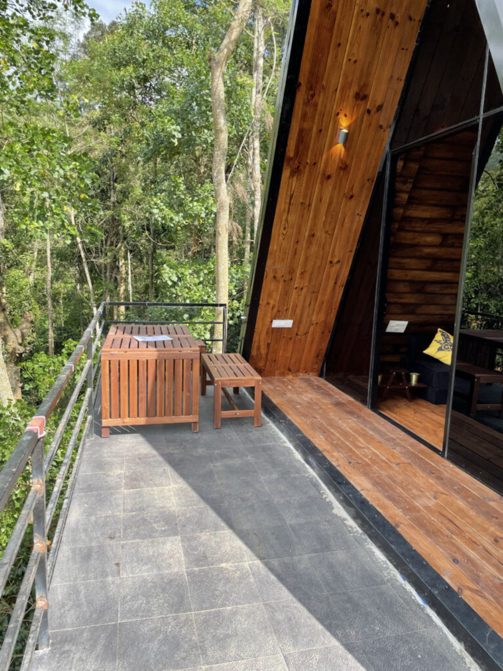
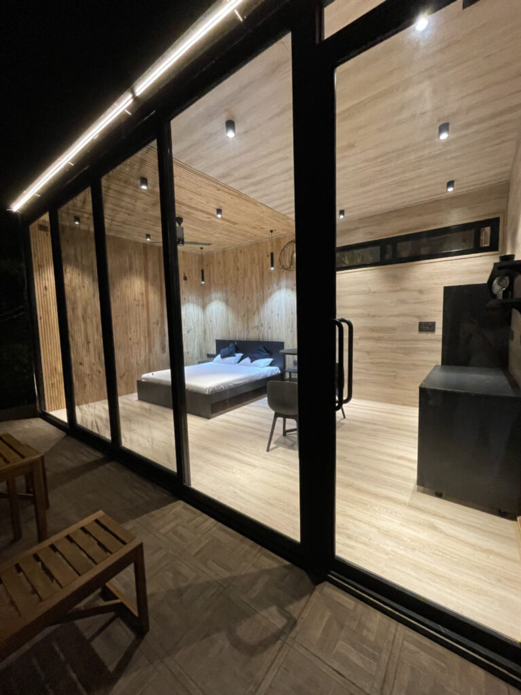
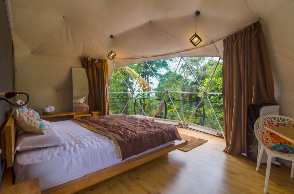
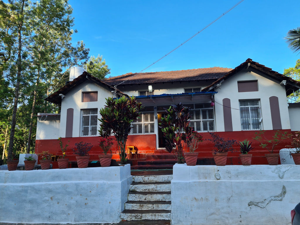
To preserve the delicate ecology of the Baba Budanagiri hills, visitors are urged to carry out all rubbish and avoid disturbing local flora and grazing livestock. For accommodation, numerous homestays, nature retreats, and outdoor campsites situated across the coffee hills of Chikmagalur can be booked through HireACamp. Staying near the foothills allows you to reach the lake early in the day when the winds are gentle and the visibility across the Western Ghats is at its best.
Frequently asked questions
Can personal vehicles drive all the way to Galikere Lake?
The final section leading to Galikere Lake consists of rough, unpaved terrain with loose rocks and uneven surfaces. While rugged four-wheel-drive vehicles can manage the track, low-clearance passenger cars are best parked earlier so you can walk the remaining distance.
Are there food stalls or shops near Galikere Lake?
There are no permanent shops, restaurants, or drinking water facilities at the lake itself. You should arrange to carry your own supplies, snacks, and plenty of water from Chikmagalur or nearby villages before heading up.
Is swimming permitted in Galikere Lake?
Swimming in Galikere Lake is generally not advised due to cold water temperatures, unseen underwater rocks, and sudden depths. It is best enjoyed as a scenic viewpoint and resting spot along the mountain ridge.
How cold does it get at Galikere Lake?
Because of its high elevation and exposed ridgeline, temperatures can drop significantly during the winter months and early morning hours. Strong, persistent winds often make the air feel much cooler, so carrying a jacket or windcheater is recommended.
Where you'll be
Baba Budanagiri Range Of Western Ghats, Muttinapura, KA · 5 stays nearby shown with prices
Stays near Galikere Lake
Book a place to stay close by
More places near Galikere Lake
Within 20 km


Built from 0 Instagram posts by 0 creators. Every tip links back to the post it came from, and where creators disagree we show both sides.






