
Parvati River
Riverside spot near Bhuntar, Himachal Pradesh
3.6 km from Bhuntar
The nearest town, for stays, food and fuel.
The Parvati River is a rapid glacial river cutting through the steep, pine-forested terrain of the Parvati Valley in Himachal Pradesh. Passing directly alongside the mountain town of Kasol, its boulder-strewn banks and cold alpine currents form the geographic heart of the region. Travellers visit the river for peaceful nature walks, landscape photography, and as a starting point for Himalayan treks.
Getting there
By road
- From BhuntarNearest town29 min · 11 km
- From Chandigarh5 hr · 219 km
- From Ludhiana5 hr 35 min · 259 km
- From Amritsar7 hr 35 min · 370 km
Typical drive times without traffic. Stations and airports from OLA Maps; distances and typical drive times from OpenStreetMap (© OpenStreetMap contributors); notes from creators' Reels.
About Parvati River
Written with AI from map data and general knowledge. Check prices and timings locally before you go.
The Landscape and Course of the Parvati River
The Parvati River originates high in the Great Himalayas near the glacial ManTalai Lake. It carves a deep, rugged gorge through the Kullu district, descending rapidly before joining the Beas River at Bhuntar. Around Kasol, the riverbed widens slightly into rocky stretches lined by towering deodar trees and steep mountain walls.
Fed continuously by melting snowpacks, the water remains ice-cold and turbulent throughout the year. Its loud, rhythmic rush can be heard across town and through nearby settlements. The riverbanks feature a mix of giant granite boulders, sandy clearings, and pine needles, offering distinct vantage points to sit and take in the valley landscape.
Things to Do Along the Parvati River
Spending quiet time along the riverbank is one of the main draws for travellers in Kasol. Visitors frequently spend mornings or late afternoons sitting on large dry boulders, listening to the water, or reading under the shade of pine trees. The dramatic interplay between rushing white water, dark evergreen forests, and distant peaks also makes the river a compelling subject for landscape photography.
Walking is the best way to explore the river's surroundings. Narrow footpaths trace the banks, guiding walkers across wooden pedestrian suspension bridges that connect Kasol to quiet hamlets on the opposite side, such as Chalal and Katagla. These scenic river paths offer an easy escape from road traffic into natural pine woods.
Read more
River Safety and Important Precautions
The Parvati River is notoriously powerful and must be approached with caution. The current is far swifter than it often appears from above, and the water is cold enough to induce hypothermia within minutes. Many of the smooth boulders along the water's edge are covered in slick moss or silt, making slips very likely.
Swimming, wading, or attempting to cross the river outside of designated footbridges is strictly advised against. Sudden rises in water volume can occur without warning due to cloudbursts or glacial melting upstream. Travellers should always heed warning signboards, keep a safe distance from wet shorelines, and watch footing carefully on riverside paths.
Best Time to Visit the Parvati River
The atmosphere along the river changes distinctly with the changing Himalayan seasons. Spring and early summer, from April to June, offer mild daytime weather, pleasant valley temperatures, and vibrant greenery. During these months, the river swells with fresh snowmelt, creating impressive torrents of white water.
Autumn, from September to November, brings dry weather, crisp mountain air, and clear blue skies. The river clears into a vivid turquoise hue, and walking along the banks is especially comfortable. The monsoon months of July and August bring heavy rainfall, high flood risks, and road blockages from landslides, making it a season to avoid. Winter brings freezing conditions and occasional valley snowfall, significantly reducing the river's flow.
How to Reach the Parvati River at Kasol
Accessing the Parvati River generally begins by travelling to Bhuntar, a transit town situated at the confluence of the Parvati and Beas rivers. Bhuntar is home to the Kullu-Manali Airport, while the closest major railway junctions are located down in the plains at Chandigarh and Ambala.
From Bhuntar, a mountain road winds eastward up into the Parvati Valley toward Kasol and Manikaran. State transport buses, shared cabs, and private taxis ply this route regularly throughout the day. Overnight interstate buses also operate from major northern cities like Delhi and Chandigarh directly toward Bhuntar and Kasol. Once in Kasol, footpaths lead directly down to the riverbank from various points along the town.
Places to Explore in the Surrounding Valley
The Parvati River serves as an access corridor to numerous outdoor destinations in the valley. Further upstream, the road leads toward the traditional settlement of Pulga, surrounded by dense deodar forests and apple orchards. The river valley is also the base for prominent hikes, including the uphill trail leading to the natural hot springs of Kheerganga.
Travellers interested in exploring further afield can cross into neighbouring valleys. To the south lies the Sainj Valley with the open meadows of Shangarh and the historic Shangchul Mahadev Temple, positioned near the boundary of the Great Himalayan National Park. Further south, the Tirthan Valley and high-altitude villages like Gadagushaini offer additional quiet riverside landscapes.
Where to Stay Along the Parvati River
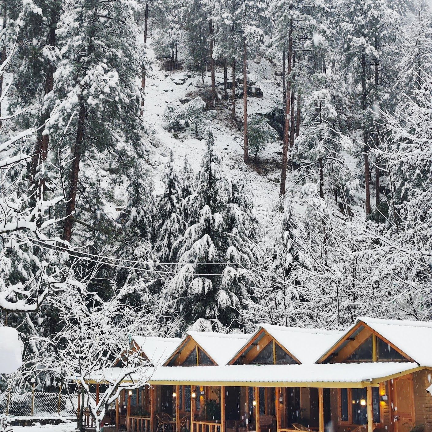
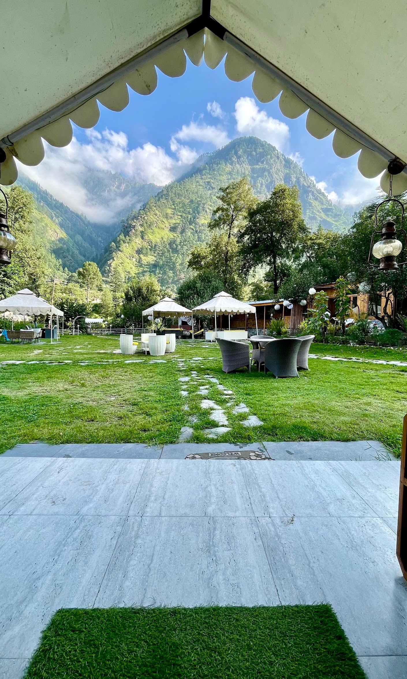
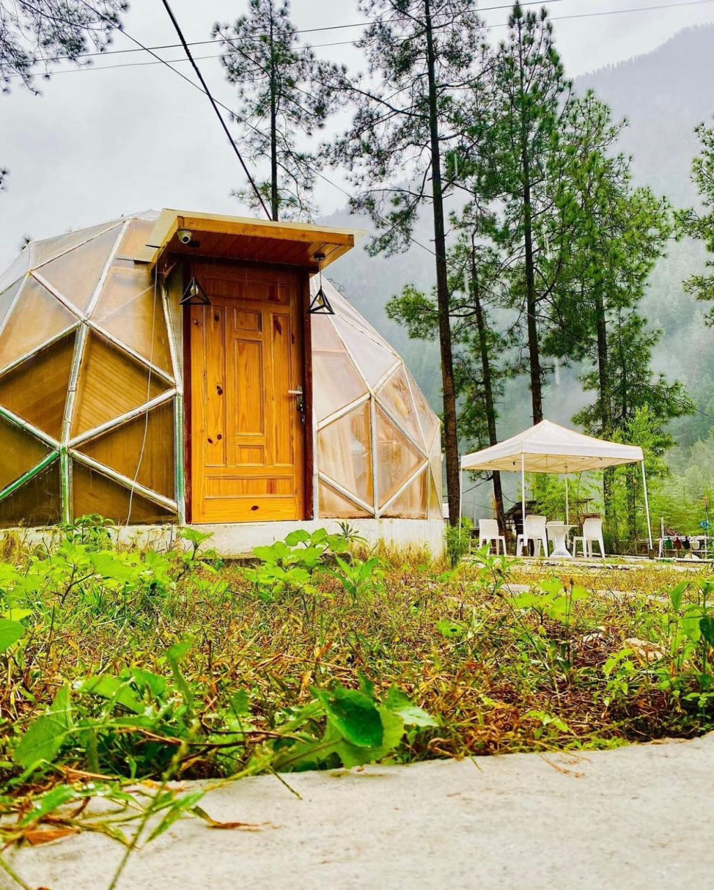
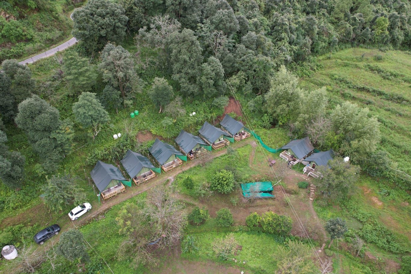
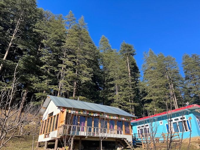
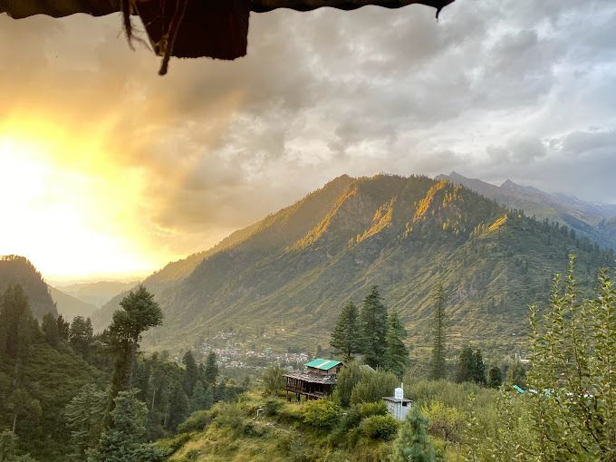
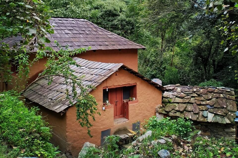
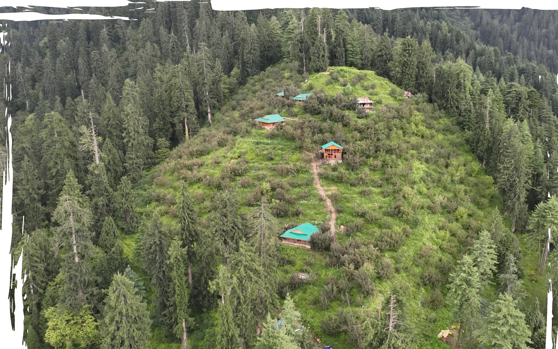
Accommodation along the Parvati River includes traditional wooden homestays in nearby villages and scenic camping grounds situated in riverside pine clearings. Staying slightly outside the main market area in surrounding hamlets allows for a quieter stay where the sound of the river dominates the night.
Travellers seeking verified riverside camps, rustic cottages, and local homestays across the Parvati Valley can find and book suitable outdoor stays on HireACamp.
Frequently asked questions
Can you swim in the Parvati River?
No, swimming in the Parvati River is strongly discouraged. The river has freezing glacial temperatures, powerful undercurrents, and slippery boulders that make getting in or out extremely dangerous.
Where does the Parvati River originate?
The river originates from the high-altitude ManTalai Lake glacier in the Great Himalayas, flowing southwest through the Parvati Valley until it merges with the Beas River at Bhuntar.
How close is the river to Kasol market?
The Parvati River flows directly past Kasol town. You can reach the riverbank within a few minutes on foot by following paths leading down from the main market area.
Are there walking trails along the Parvati River?
Yes, several dirt paths and forest trails run along the riverbanks, including popular foot routes that cross suspension bridges to connect Kasol with the nearby villages of Chalal and Katagla.
What is the best time of year to visit the Parvati River?
The ideal months to visit are April to June for pleasant weather and green scenery, or September to November for clear skies and manageable river flows. Monsoon months should be avoided due to flood and landslide risks.
Where you'll be
Kasol · 8 stays nearby shown with prices
Stays near Parvati River
Book a place to stay close by
More places near Parvati River
Within 20 km

Built from 0 Instagram posts by 0 creators. Every tip links back to the post it came from, and where creators disagree we show both sides.






