
Phalut
Trek near Rammam, West Bengal
9.4 km from Rammam
The nearest town, for stays, food and fuel.
Phalut is one of the highest and most revered trekking destinations in West Bengal, positioned on the Singalila Ridge near the trijunction of West Bengal, Sikkim, and Nepal. Renowned for its sweeping panoramas of the world's grandest mountain peaks, it offers trekkers direct views of Mount Kanchenjunga and the Everest massif. Visitors journey here to experience rugged high-altitude trails, alpine meadows, and pristine Himalayan wilderness.
Getting there
By road
- From Bijanbari5 hr · 77 km
- From RammamNearest town6 hr 20 min · 114 km
Typical drive times without traffic. Stations and airports from OLA Maps; distances and typical drive times from OpenStreetMap (© OpenStreetMap contributors); notes from creators' Reels.
About Phalut
Written with AI from map data and general knowledge. Check prices and timings locally before you go.
About Phalut
Perched at an elevation of nearly twelve thousand feet, Phalut marks the northernmost tip of the Singalila Ridge within West Bengal. The name in the local Lepcha tongue refers to a bare peak, describing the windswept and exposed grassy crest that characterizes its summit. Unlike the forested valleys lower down, the landscape around Phalut opens into expansive high-altitude moorland, giving hikers a sense of standing on the edge of the sky.
From the summit ridge, trekkers can take in views of the majestic Sleeping Buddha formation, which includes the colossal massif of Kangchenjunga, alongside other legendary Himalayan giants like Mount Everest, Lhotse, and Makalu on clear mornings. The region forms part of the Singalila National Park, celebrated for its rich sub-alpine biodiversity, varied birdlife, and the occasional sighting of rare high-altitude mammals.
Trekking to Phalut
Phalut is traditionally reached as part of the extended Sandakphu trek, continuing northward along the ridgeline from Sandakphu through Sabargram. Walking along this path means walking the borderline between India and Nepal, where stone markers guide your route and prayer flags flutter in the mountain winds. The terrain between Sandakphu and Phalut features undulating paths, rolling meadows, and patches of burnt silver fir forests.
While the trail does not involve steep rock climbing, the distance and sustained altitude demand a sound level of cardiovascular fitness and endurance. Walking several hours each day across wind-exposed terrain requires pacing yourself, staying properly hydrated, and allowing time to acclimatize to the thin mountain air.
Read more
Best time to visit Phalut
The trekking season at Phalut is divided into two distinct windows: spring and autumn. Spring, spanning from late March to May, brings temperate days and the spectacular blossoming of rhododendrons, magnolias, and alpine primulas across the lower and middle forest belts. Mist often gathers by mid-afternoon, but mornings generally yield vivid glimpses of snow peaks against flowering slopes.
Autumn, from October to late November, is preferred by landscape photographers and serious mountain enthusiasts. Post-monsoon breezes scrub the atmosphere clean, resulting in extraordinarily clear skies and crisp views of the snow-clad Himalayan range. Winter brings freezing conditions, sub-zero nighttime temperatures, and occasional snowfall that covers the ridge in white, requiring serious cold-weather gear.
How to reach the trail
The starting points for treks heading toward Phalut are typically reached via Siliguri or New Jalpaiguri, which connect by road and rail to major Indian cities, and Bagdogra Airport, which serves regional flights. From Siliguri or Darjeeling, shared and private mountain taxis run through winding hill roads to base villages like Manebhanjan, Chitrey, or Dhotrey.
From the trailheads, hikers begin their trek upward through the Singalila National Park. Those completing the full ridge circuit often conclude their hike by descending from Phalut through dense bamboo and oak woods down to villages like Gorkhey, Samanden, or Srikhola, from where vehicles can be hired back to Darjeeling or Siliguri.
Tips for your trek to Phalut
The high elevation of Phalut makes the weather notoriously fickle. Temperatures drop precipitously as soon as the sun dips below the horizon, and strong winds frequently sweep across the ridgeline. Dressing in comprehensive layers is essential, including thermal base layers, a fleece, a down jacket, and wind- and water-resistant outer shells.
Sturdy, broken-in trekking boots with good ankle support and grip are non-negotiable for rocky, uneven pathways. Keep personal medical kits stocked with blister care, altitude sickness medication, and rehydration salts. Carrying cash is crucial, as ATMs are nonexistent on the trail, and electricity is limited to intermittent solar power at high-altitude shelters.
Exploring the Singalila region
The greater Darjeeling and Singalila region is rich in natural charm and heritage. Travelers returning from the Phalut trek often spend time resting in Darjeeling town, where cultural landmarks like the Japanese Buddhist Temple and the Peace Pagoda provide quiet spots for reflection.
Naturalists will enjoy stopping by the high-altitude wildlife park in Darjeeling, while vintage transit fans can experience the historic Darjeeling Himalayan Railway. For travelers wanting to extend their walk in nature, peaceful nature parks like Lamahatta and classic dawn vantage points like Tiger Hill offer alternative perspectives of the eastern Himalayas.
Where to stay around Phalut
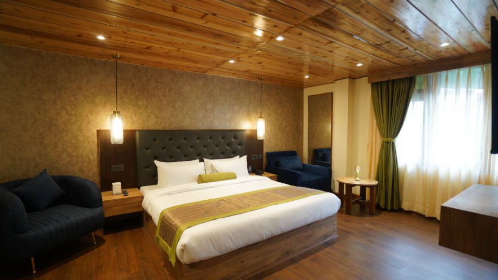
Accommodation along the trek to Phalut is rustic and centered on mountain huts, trekker lodges, and village homestays run by welcoming local families. In villages along the descent route, such as Gorkhey and Srikhola, traditional wooden homestays provide warm hearths, home-cooked local meals, and genuine Himalayan hospitality.
If you are planning to spend time around Darjeeling before embarking on the trail or seeking comfortable bases in the valley afterward, a wide variety of scenic campsites, mountain homestays, and rustic nature cottages can be discovered and booked on HireACamp.
Frequently asked questions
How difficult is the trek to Phalut?
The trek is rated moderate in difficulty. While it does not require technical mountaineering skills, it entails sustained walking over long distances at altitudes near twelve thousand feet, requiring good physical stamina.
Can I see Mount Everest from Phalut?
Yes, on clear mornings Phalut offers panoramic views of both Mount Everest and the Kangchenjunga range rising together above the ridgeline.
Do I need special permits to trek to Phalut?
Because the trail passes through Singalila National Park and runs along the international border with Nepal, entry permits and identification are required. Check locally at the park checkpost before beginning your ascent.
What is the best route to descend from Phalut?
Most trekkers descend from Phalut through the peaceful pine and bamboo forests to the valley village of Gorkhey, continuing onward through Rammam to Srikhola before taking transport back toward Darjeeling.
Is mobile network connectivity available at Phalut?
Mobile network coverage along the ridge and at Phalut is extremely sparse and unreliable. It is best to inform family and friends beforehand that you will be disconnected while on the trail.
Where you'll be
West Bengal · 1 stay nearby shown with prices
Stays near Phalut
Book a place to stay close by
More places near Phalut
Within 20 km

Lists for this area
Ranked by how many creators recommend each place


Built from 0 Instagram posts by 0 creators. Every tip links back to the post it came from, and where creators disagree we show both sides.






