
Sabargam
Peak near Rammam, West Bengal
6.2 km from Rammam
The nearest town, for stays, food and fuel.
Sabargam is a scenic Himalayan peak and trail landmark set along the Singalila Ridge in the Darjeeling district of West Bengal. Located between the famed vantage points of Sandakphu and Phalut, this windswept ridge crest attracts trekkers seeking dramatic views of the Eastern Himalayas, including the Kanchenjunga massif and the Everest cluster. Its high-altitude meadows, sweeping horizons, and remote mountain atmosphere make it one of the quietest and most breathtaking stretches in the region.
Getting there
By road
- From RammamNearest town5 hr 25 min · 108 km
Typical drive times without traffic. Stations and airports from OLA Maps; distances and typical drive times from OpenStreetMap (© OpenStreetMap contributors); notes from creators' Reels.
About Sabargam
Written with AI from map data and general knowledge. Check prices and timings locally before you go.
About Sabargam
Sabargam, often called Sabarkum by local guides and walking travellers, is a prominent high-altitude shoulder resting along the Singalila Ridge in northern West Bengal. Rising above eleven thousand feet near the international boundary between India and Nepal, the summit functions as a pivotal crossing point for those hiking between Sandakphu and Phalut. Unlike the busier settlement hubs along the border trail, Sabargam remains an open, windswept ridge defined by rolling moorland, weather-beaten stone markers, and undisturbed alpine pastures.
The landscape here feels expansive and untamed. The lower slopes belong to the biodiversity-rich Singalila National Park, which protects ancient temperate forests of silver fir, birch, bamboo, and rhododendron. As you approach the crest of Sabargam, tree cover falls away into open grassland that provides clear, unbroken sightlines across hundreds of kilometres of the Himalayan range. It is an ideal spot to pause, take in the vastness of the geography, and experience the raw beauty of the border highlands without the bustle of larger trekking settlements.
Trekking routes across Sabargam
Reaching Sabargam is usually accomplished as part of a multi-day walking route along the Singalila Ridge. Most hikers arrive here on the scenic trek that connects Sandakphu with Phalut. This leg of the trail covers rolling alpine ridgelines with gentle undulations, making Sabargam a classic rest stop or lunch station before continuing forward toward Phalut or descending into the forested valley below.
Another well-trodden route connects Sabargam directly with the forest village of Gorkhey and onwards to Rimbik. This alternative trail drops steeply from the exposed ridge down into dense stands of bamboo, pine, and magnolia trees. The walking surface on the ridge consists mostly of unpaved stone paths, rough gravel, and earthen paths that can turn slippery after rain or melting snow. Trekking here requires a steady pace and good foot support, but the continuous views along both the Nepal and Indian sides of the ridge reward every hour spent on the trail.
Read more
Himalayan views and natural landscape
The primary allure of Sabargam is its panoramic view of some of the highest mountains on Earth. On clear mornings, the horizon is dominated by Mount Kanchenjunga, which forms the famous Sleeping Buddha formation alongside peaks such as Kumbhakarna, Pandim, and Simvo. Farther to the west across the border, the distant snowfields of the Everest group, including Lhotse and Makalu, can be spotted rising above the cloud banks on crisp days.
Beyond the jagged horizon of granite and ice, the immediate environment around Sabargam has an austere beauty of its own. In late spring, patches of low-lying rhododendrons and wild primulas bring vibrant color to the scrubby slopes. As autumn transitions into early winter, the meadows take on warm golden and amber shades, framed by cobalt skies during the day and dense carpets of cloud that roll up from the Bengal plains below by late afternoon.
Best time to visit Sabargam
The ideal time to explore Sabargam falls into two distinct windows: spring from March to May, and autumn to early winter from October to December. During spring, temperatures gradually warm up and the forests across the lower flanks of the national park burst into bloom with red, pink, and white rhododendrons. While the afternoons often see fog roll across the ridge, early mornings provide excellent conditions for photography and trekking.
Autumn offers the clearest skies and the sharpest views of the high peaks. From October onwards, the monsoon moisture disappears, leaving dry trails and crisp mountain air. November and December are significantly colder, with morning frosts and freezing winds, but the visibility across the Himalayan chain is at its finest. The monsoon months from late June to early September should generally be avoided, as torrential rains make the trails muddy, leeches become common in the lower forests, and thick cloud cover hides the mountains.
How to reach Sabargam
Sabargam is approached through the transport hubs of North Bengal. The closest airport is Bagdogra, and the major railway junction is New Jalpaiguri, both located near Siliguri. From Siliguri or the nearby hill town of Darjeeling, travellers take mountain roads to Manebhanjan, which serves as the traditional gateway to the Singalila trekking corridor.
From Manebhanjan, the journey proceeds upward along the border track through high-altitude stops such as Tumling, Kalipokhri, and Sandakphu. Most visitors travel this upper stretch on foot, taking multiple days to acclimatize properly. A rugged four-wheel-drive route also exists along the ridge for vintage vehicles, though many sections require walking to access the actual vantage points. Always plan travel times with generous buffers, as steep gradients and mountain weather can affect progress.
Tips for your visit to Sabargam
Visiting Sabargam involves spending extended time at high elevation, where weather can change rapidly. Windproof and waterproof outerwear is essential because cold gusts are common along the crest even during sunny afternoons. Dressing in multiple warm layers, including thermal base layers, a fleece, and a down jacket, will keep you comfortable across changing conditions throughout the day.
Because the ridge lies within a protected sanctuary and runs along an international boundary, visitors must carry valid government photo identification and obtain the relevant forest entry permits at the park gate or local checkposts. Sturdy, broken-in trekking boots with good ankle support are critical for the rocky tracks. There are no medical centres or supply stores at the peak, so carry a personal first-aid kit, water purification tablets, high-energy snacks, and sufficient drinking water for each day of walking.
Where to stay around Sabargam
There is limited development around Sabargam itself, preserving its tranquil, open character. Trekkers typically sleep at basic mountain huts or trekkers' shelters located at nearby stations such as Phalut, Molley, or Sandakphu, depending on their trekking itinerary. These accommodations provide simple, warm bedding and basic home-cooked meals suited for high-altitude walking.
Travellers descending off the ridge into the forested river valleys will find welcoming village homestays in scenic settlements like Gorkhey, Samanden, and Srikhola. These rural homes offer an authentic glimpse into local mountain culture, home-cooked regional food, and quiet surroundings among pine woods and terraced farmland. You can discover comfortable camps, authentic village homestays, and rustic mountain lodges across this region by searching on HireACamp.
Frequently asked questions
Where is Sabargam located?
Sabargam is located along the Singalila Ridge in the Darjeeling district of West Bengal, India, situated on the high trail between Sandakphu and Phalut near the Nepal border.
Can I see Mount Kanchenjunga and Mount Everest from Sabargam?
Yes, on clear days, Sabargam offers expansive panoramic views of the Kanchenjunga massif as well as distant peaks of the Everest range.
Do I need a permit to visit Sabargam?
Yes, because Sabargam is situated within the protected Singalila National Park along the international border, entry permits and valid identity cards are required at official checkpoints along the trail.
What is the best season to trek through Sabargam?
The best months are March to May for blooming rhododendrons and October to December for clear skies and the sharpest views of the snow-covered Himalayan peaks.
Are there hotels directly at Sabargam?
There are no luxury hotels or commercial resorts directly at the peak; accommodation nearby consists of basic mountain huts, forest rest points, and village homestays located along the surrounding trail network.
Where you'll be
West Bengal · 4 stays nearby shown with prices
Stays near Sabargam
Book a place to stay close by
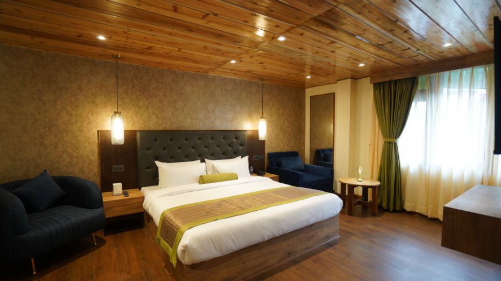
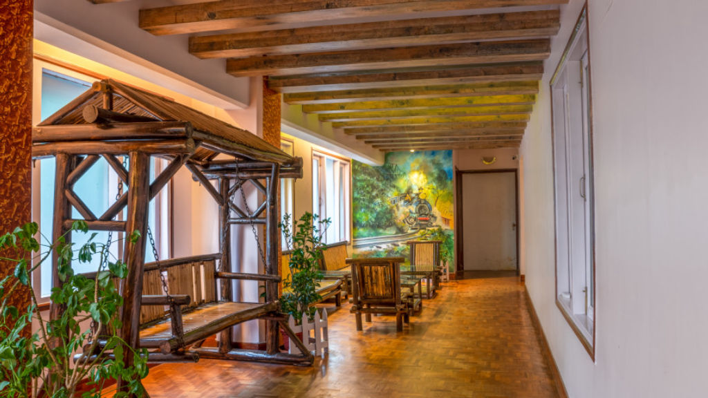
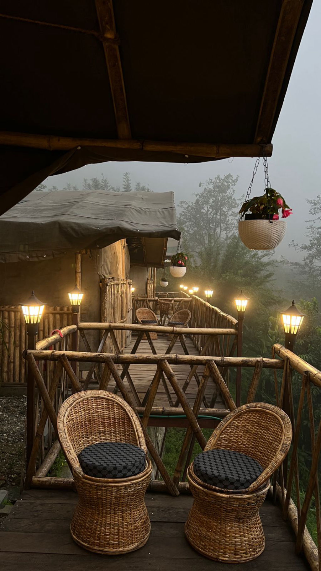
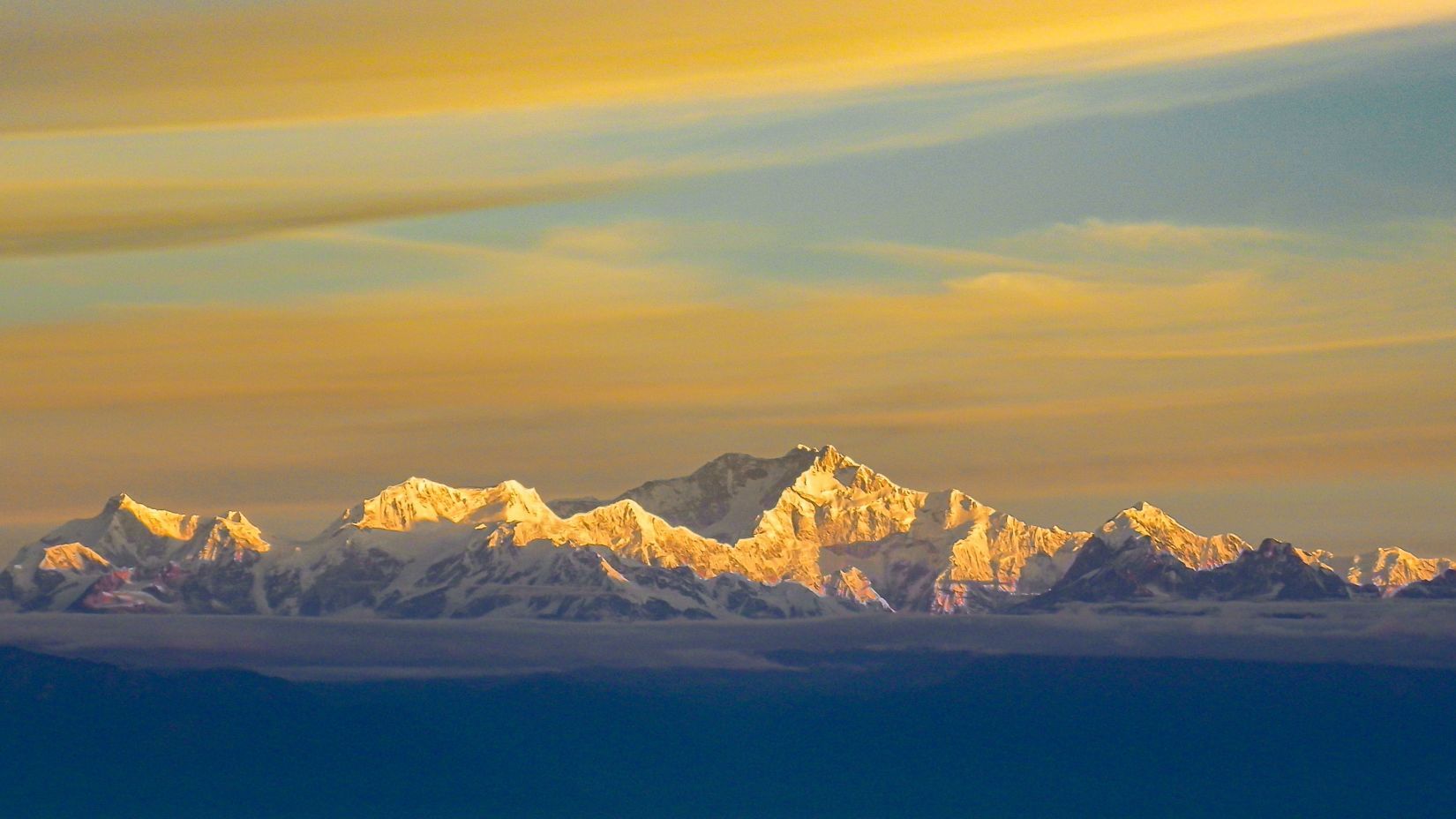
More places near Sabargam
Within 20 km


Lists for this area
Ranked by how many creators recommend each place


Built from 0 Instagram posts by 0 creators. Every tip links back to the post it came from, and where creators disagree we show both sides.






