
Rachela Peak
Peak near Lava, West Bengal
400 m from Lava
The nearest town, for stays, food and fuel.
Rachela Peak is a high-altitude mountain summit situated along the ridgeline of the Kalimpong district in West Bengal, near the tri-junction of West Bengal, Sikkim, and Bhutan. As the highest elevation point inside the Neora Valley National Park region, it is celebrated for its dense sub-alpine forest trails and sweeping views of the Eastern Himalayas. Trekkers and nature enthusiasts journey here to experience undisturbed wilderness, vibrant rhododendron blooms, and expansive vantage points.
Getting there
By road
- From LavaNearest town1 min · 700 m
Typical drive times without traffic. Stations and airports from OLA Maps; distances and typical drive times from OpenStreetMap (© OpenStreetMap contributors); notes from creators' Reels.
About Rachela Peak
Written with AI from map data and general knowledge. Check prices and timings locally before you go.
About Rachela Peak
Rachela Peak, also commonly referred to as Rachela Danda, stands as a prominent geographic landmark in the higher elevations of Kalimpong-II sub-district. Rising above the cloud line, the ridge acts as a natural boundary separating West Bengal from Sikkim and the Kingdom of Bhutan. This geographical placement gives the summit a distinct frontier character, surrounded by pristine montane terrain that remains largely wild and untamed.
The summit is nestled within the fragile ecosystem of Neora Valley National Park, a protected region known for its high levels of biodiversity. The slopes leading up to Rachela Peak are covered in thick canopy forests consisting of oak, fir, bamboo, and diverse species of rhododendron. The area serves as a sanctuary for rare Himalayan wildlife, including the elusive red panda, Himalayan black bear, and hundreds of species of native and migratory birds. For outdoor lovers, the peak is a wilderness destination where nature dominates every aspect of the landscape.
The Trekking Experience to Rachela Peak
Reaching Rachela Peak requires a multi-day trek through undulating ridgelines and dense temperate jungle. Common trailheads originate from forest villages such as Lava or Rishyap, taking hikers along unpaved pathways carved into the steep slopes. As you ascend, the tropical foliage gives way to dense bamboo thickets and moss-draped branches that create an atmospheric, mist-shrouded environment.
The trail presents moderate to challenging physical terrain, marked by steep uphill climbs, uneven stone sections, and narrow forest tracks. Because the path cuts through pristine wilderness, trekkers must be self-reliant and navigate with attentiveness. Reaching the peak rewards the effort with a panoramic vista: on clear mornings, the snow-crowned summits of the Kangchenjunga range dominate the northern horizon, while the hills of Sikkim, Bhutan, and the plains of northern Bengal stretch out across the remaining compass points.
Read more
Best Time to Visit Rachela Peak
The ideal period to visit Rachela Peak is from October through December. During the post-monsoon autumn months, the atmosphere over the Eastern Himalayas clears up significantly, offering crisp mountain air, stable ground conditions, and high visibility for mountain viewing. Day temperatures remain comfortable for walking, though nights turn quite cold at higher altitudes.
Spring, running from mid-March to May, is another favored window. During this season, the forest slopes burst into color as various rhododendron, magnolia, and wild orchid species come into bloom. The forest canopy is active with birds, making it a wonderful time for naturalists. The summer monsoon months from June to September should generally be avoided, as intense rainfall in this region brings heavy cloud cover, landslides, slippery paths, and dense populations of forest leeches.
How to Reach Rachela Peak
To reach the trekking routes for Rachela Peak, travellers typically base themselves in Kalimpong or nearby hill hamlets such as Lava. The closest major railway hub is New Jalpaiguri (NJP), and the nearest commercial airport is Bagdogra International Airport near Siliguri. Both transport centers connect with daily trains and flights from major cities across India.
From Siliguri, NJP, or Bagdogra, shared and private mountain taxis travel up into the hills toward Kalimpong and onward to Lava. Once in the staging villages, road transit ends, and travel to Rachela Peak continues on foot. Hikers typically register their entry at forest check-posts before venturing into the higher national park trails.
Practical Tips for Your Trek
Preparing properly is vital for an excursion to Rachela Peak due to the isolation of the trail and the complete absence of commercial facilities on the high ridges. Travellers should pack sturdy, broken-in trekking boots with good grip, as moisture from morning dew and passing mists can make roots and stones slick. Bring thermal layers, a windproof and waterproof outer jacket, and warm accessories like gloves and beanies, as summit winds can lower temperatures rapidly.
Because the route falls inside a protected conservation area, you should check locally in Kalimpong or Lava regarding permits and trail regulations before setting off. It is strongly recommended to hire a knowledgeable local guide who understands the forest routes, weather patterns, and local wildlife habits. Trekkers should also carry personal purification tablets or filtration bottles, sufficient dry food, and a dependable first-aid kit with basic medication.
Places to Explore Nearby
The Kalimpong region offers plenty of complementary natural and cultural sights that pair well with a journey to Rachela Peak. The village of Lava is worth exploring for its pine-covered landscapes and its Buddhist monastery, which serves as a peaceful retreat nestled into the forest edge. Nearby Rishyap provides unobstructed perspectives of the higher mountains from simple village viewpoints.
Further down toward the town of Kalimpong, visitors can explore Durpin Monastery, perched high on Durpin Hill with extensive views over the Teesta River valley and surrounding peaks. Nature enthusiasts can also spend time touring the village of Lamahatta to wander through manicured coniferous gardens, or cross scenic tea valleys leading toward the Darjeeling foothills.
Where to Stay Near Rachela Peak
Because Rachela Peak itself is situated within an uninhabited wilderness zone, overnight accommodation on the trail is restricted to expedition-style camping in designated spots under the guidance of local trail operators. For lodging before and after your trek, the surrounding mountain settlements offer warm and welcoming hospitality.
Base villages such as Lava, Rishyap, and Kalimpong feature a variety of options including rustic homestays run by local families, hillside cottages, and tranquil campsites. Booking a homestay provides an excellent opportunity to enjoy traditional home-cooked Himalayan meals and gain insight into local customs. You can find and book campsites, authentic homestays, and outdoor stays near Rachela Peak through HireACamp.
Frequently asked questions
Where is Rachela Peak situated?
Rachela Peak is located in the Kalimpong district of West Bengal, sitting along the high ridge where the borders of West Bengal, Sikkim, and Bhutan converge inside Neora Valley.
How challenging is the trek to Rachela Peak?
The trek is considered moderately challenging, requiring good physical endurance to handle steep ascents, narrow jungle tracks, and remote forest terrain over several hours of walking.
Do I need permits to visit Rachela Peak?
Because the trail passes through the protected Neora Valley National Park ecosystem, entry permissions are required from local forest department authorities; check locally in Kalimpong or Lava for the latest entry protocols.
Can you see Mount Kangchenjunga from Rachela Peak?
Yes, on clear autumn and winter mornings, Rachela Peak offers wide, uninterrupted views of the Kangchenjunga massif and surrounding Himalayan ranges.
What is the best time of year to visit Rachela Peak?
The best months are from October to December for crisp air and panoramic mountain views, and from March to May for blooming rhododendrons and pleasant daytime weather.
Where you'll be
Kalimpong-II Sub-District, WB · 3 stays nearby shown with prices
Stays near Rachela Peak
Book a place to stay close by
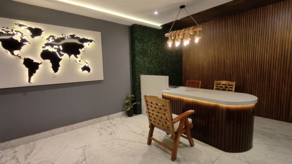
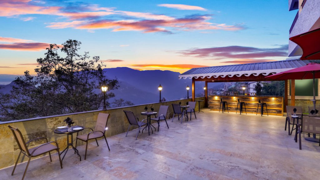
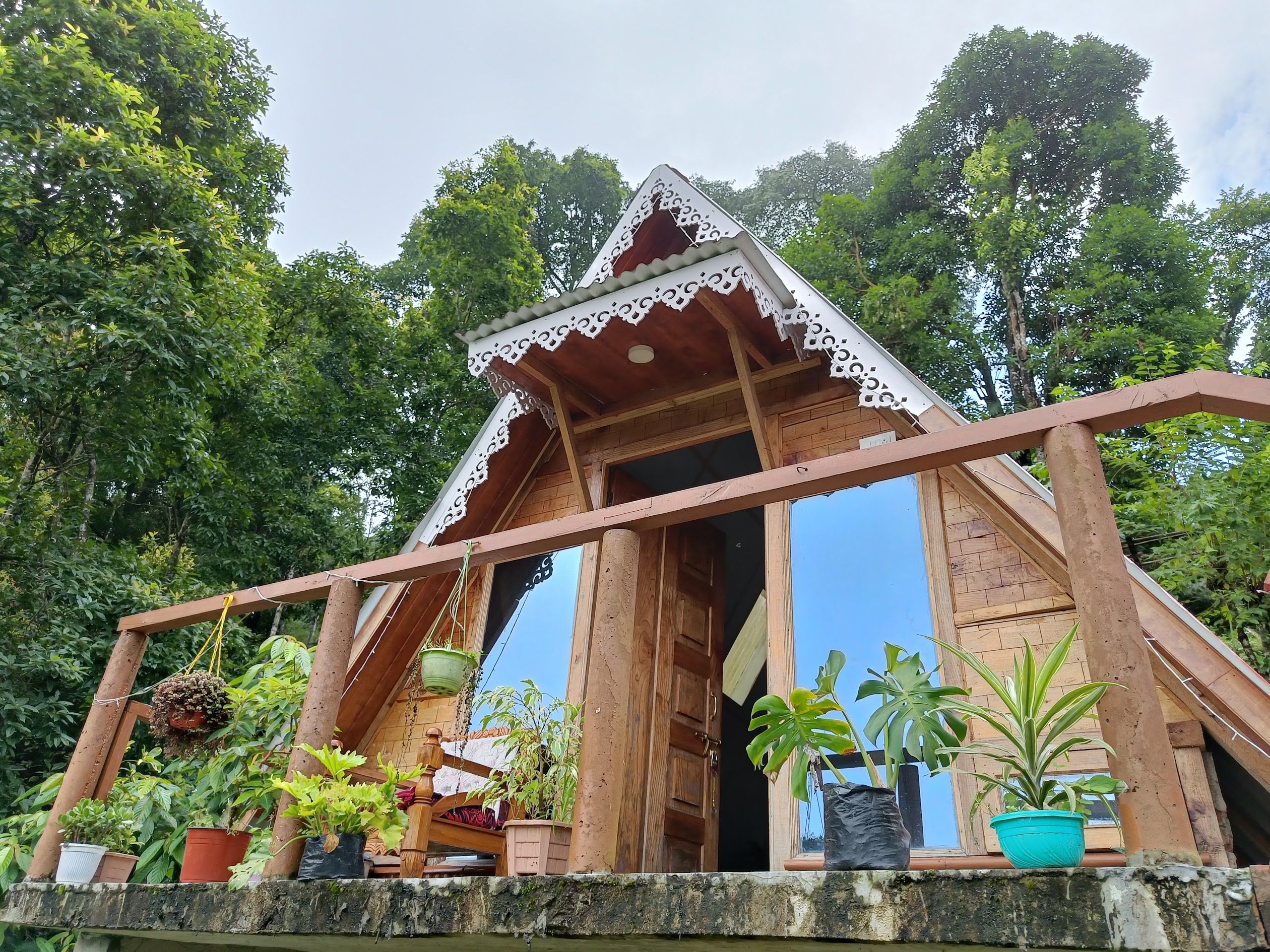
More places near Rachela Peak
Within 20 km
Lists for this area
Ranked by how many creators recommend each place


Built from 0 Instagram posts by 0 creators. Every tip links back to the post it came from, and where creators disagree we show both sides.






