
Thamsar Pass
Peak near Bara Bangahal, Himachal Pradesh
12 km from Bara Bangahal
The nearest town, for stays, food and fuel.
Thamsar Pass is a high-altitude mountain pass in Himachal Pradesh perched within the rugged ridges of the Dhauladhar Range. It serves as the historic gateway between the lush valleys of Kangra and the secluded, high-mountain village of Bara Bhangal. Trekkers and seasoned adventurers undertake this demanding route to experience remote Himalayan wilderness, glacial lakes, and wide panoramic views of alpine peaks.
Getting there
By road
- From Bara BangahalNearest town3 hr 15 min · 77 km
- From Chandigarh6 hr · 249 km
- From Ludhiana6 hr 25 min · 279 km
- From Amritsar7 hr 20 min · 319 km
Typical drive times without traffic. Stations and airports from OLA Maps; distances and typical drive times from OpenStreetMap (© OpenStreetMap contributors); notes from creators' Reels.
About Thamsar Pass
Written with AI from map data and general knowledge. Check prices and timings locally before you go.
About Thamsar Pass
Rising high above the timberline in the Dhauladhar Range, Thamsar Pass sits at an elevation of roughly 4,700 metres above sea level. For centuries, this rugged notch in the mountains has served as a lifeline for the pastoral Gaddi shepherds who herd their flocks between seasonal pastures across Kangra and Chamba districts.
Unlike lower passes in the region, Thamsar remains snowbound for much of the year and requires traversing vast boulder fields, steep moraines, and occasional icy sections. Reaching the pass brings you to a windswept ridge overlooking small glacial tarns and jagged granite crags that define the raw beauty of the upper Himalayas.
The Trek Across Thamsar Pass
The crossing of Thamsar Pass forms a critical section of the famed Bara Bhangal trek, one of Himachal Pradesh's most challenging expeditions. The journey typically begins from the Kangra side, passing through remote settlements, rhododendron forests, and alpine meadows before the landscape transitions into barren rock and scree.
The final ascent involves negotiating steep inclines, loose talus, and residual snowpacks. At the summit, the pass rewards trekkers with breathtaking views that extend toward the Pir Panjal Range on one side and the dramatic crest of the Dhauladhars on the other. Prayer flags tied to cairns flutter against the mountain winds, marking a place of both physical challenge and deep spiritual significance for local mountaineers.
Read more
Best Time to Visit Thamsar Pass
Due to heavy snowfall and dangerous winter conditions, Thamsar Pass is accessible only during a limited window each year. The optimal trekking period falls between late June and early October, divided into two distinct seasons.
July and August bring lush green meadows lower down, though monsoonal rains can make river crossings and trail sections slippery. September to early October is widely regarded as the most stable and scenic period. During these autumn weeks, the skies clear, temperatures remain crisp, and visibility across the surrounding peaks is at its peak before winter snows close the pass once again.
How to Reach Thamsar Pass
Thamsar Pass is completely inaccessible by motor vehicles and can only be reached on foot over a multi-day alpine expedition. The approach generally begins from the Chhota Bhangal Valley, accessible via road through Bir or Baijnath in the Kangra district.
From Bir or Billing, trails lead through small mountain hamlets and terraced farmlands toward the base camps below the pass. The nearest broad-gauge railway station is at Pathankot, while the nearest airport is Kangra Airport at Gaggal. From these transit hubs, local taxis and buses run to Bir or Barot, where you can arrange logistical support and begin walking.
Places to Visit Nearby
The landscapes surrounding Thamsar Pass are dotted with natural attractions and peaceful mountain hamlets. The Chhota Bhangal Valley sits directly beneath the pass's southern approaches, offering traditional wood-and-stone architecture, terraced fields, and swift mountain streams.
Further down the road, the paragliding hub of Bir and the tea-scented hills of the Kangra Valley provide a striking contrast to the high-altitude terrain. Trekkers venturing across nearby ridges can also encounter waterfalls like Lapas Falls or look out toward alternative mountain crossings such as Surah Pass and Waru Pass, both carving routes across the same expansive Dhauladhar crest.
Essential Tips for the Trek
Traversing Thamsar Pass demands thorough physical conditioning, endurance, and proper acclimatisation. The altitude gains are substantial, making high-altitude sickness a genuine risk if you ascend too quickly without scheduled rest days.
Always carry sturdy waterproof trekking boots with good ankle support, layered thermal clothing, rain protection, and reliable shelter. Weather in the high Dhauladhars can change within minutes, with sudden drops in temperature, fog, or unseasonal snowfall. Because routes are remote and largely unmarked, venturing with an experienced local mountain guide is strongly recommended. Check local route conditions and weather advisories before starting your trek.
Where to Stay near Thamsar Pass
Along the trail to Thamsar Pass, accommodation consists entirely of wilderness camping in tents. Trekkers must carry their own camping gear, sleeping bags rated for sub-zero temperatures, and cooking supplies, pitching camp at established pastoral grounds.
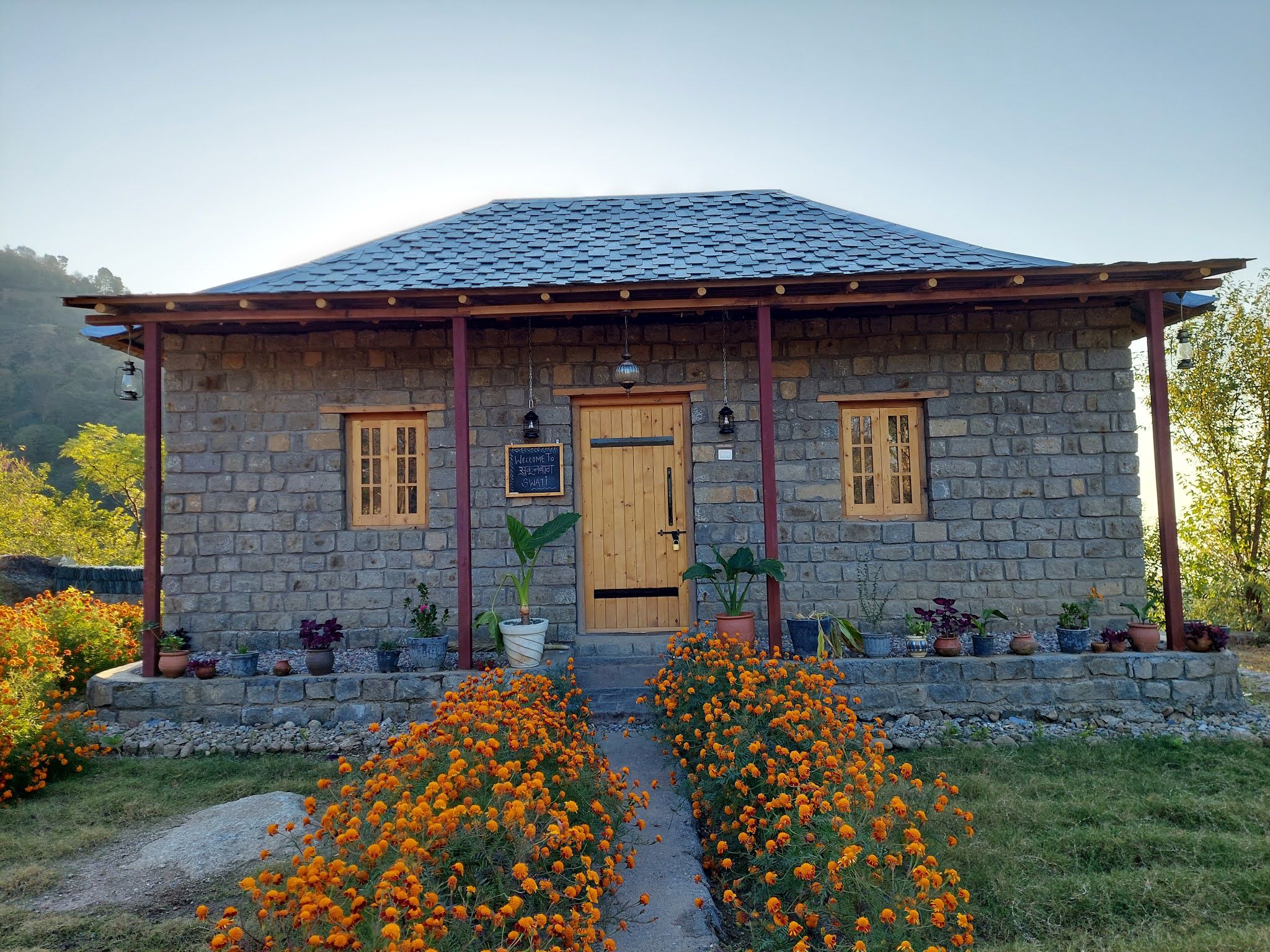
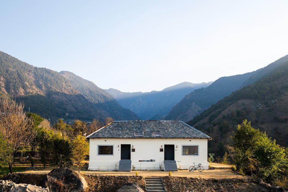
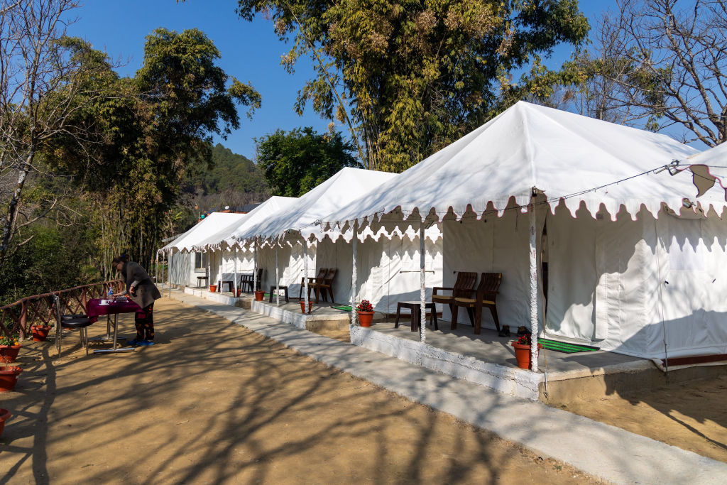
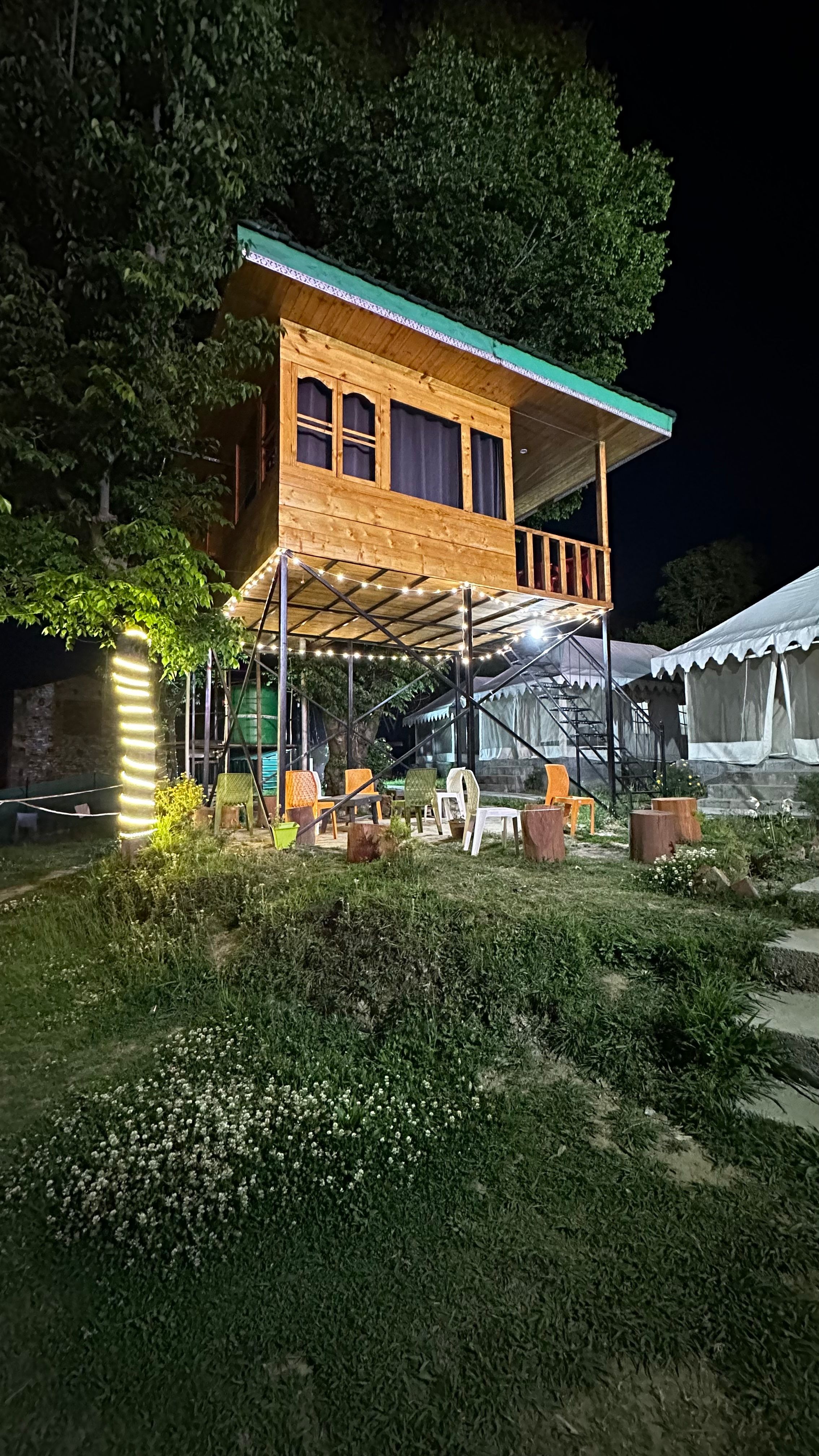
Before and after your trek, you can find comfortable bases in the surrounding valleys. Homestays, rustic cottages, and eco-camps scattered across Bir, Barot, and the villages of the Chhota Bhangal Valley can be booked through HireACamp, giving you a warm, restful place to prepare for the trail or recover after completing the pass.
Frequently asked questions
What is Thamsar Pass known for?
Thamsar Pass is best known as a high-altitude crossing point in the Dhauladhar Range that connects Kangra district with the remote village of Bara Bhangal, popular among serious wilderness trekkers.
How difficult is the trek to Thamsar Pass?
The trek is considered difficult to strenuous. It requires multi-day wilderness trekking across steep moraines, boulder fields, and high elevations above 4,500 metres.
When is Thamsar Pass open for trekking?
The pass is typically open from late June to early October. September is considered the best month due to clear skies and stable mountain weather.
Can I cross Thamsar Pass without a guide?
Hiring an experienced local mountain guide is highly recommended. The route features remote terrain, tricky moraines, and rapid weather shifts that require local route knowledge.
Where can I stay while visiting the area around Thamsar Pass?
On the trail, accommodation is limited to self-supported tent camping. For comfortable homestays, cottages, and camps in nearby bases like Bir or Barot, you can explore options on HireACamp.
Where you'll be
Himachal Pradesh · 4 stays nearby shown with prices
Stays near Thamsar Pass
Book a place to stay close by
More places near Thamsar Pass
Within 20 km
Built from 0 Instagram posts by 0 creators. Every tip links back to the post it came from, and where creators disagree we show both sides.






