
Dhauladhar Range
Peak near Kandbari, Himachal Pradesh
9.1 km from Kandbari
The nearest town, for stays, food and fuel.
The Dhauladhar Range is a prominent outer Himalayan mountain chain rising steeply above the Kangra Valley in Himachal Pradesh. Known for its snow-capped granite crests, dense oak and rhododendron forests, and dramatic vertical relief, it draws trekkers, mountaineers, and nature lovers throughout the year. Its proximity to hill towns like Palampur and Dharamshala makes it one of the most accessible high-mountain landscapes in northern India.
Getting there
By road
- From KandbariNearest town1 hr · 27 km
- From Ludhiana5 hr 15 min · 231 km
- From Amritsar5 hr 20 min · 242 km
- From Chandigarh5 hr 45 min · 242 km
Typical drive times without traffic. Stations and airports from OLA Maps; distances and typical drive times from OpenStreetMap (© OpenStreetMap contributors); notes from creators' Reels.
About Dhauladhar Range
Written with AI from map data and general knowledge. Check prices and timings locally before you go.
The landscape of the Dhauladhar Range
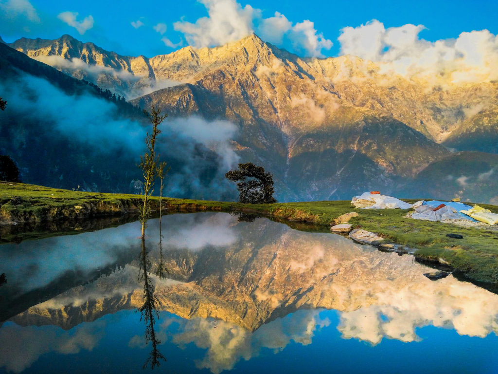
The Dhauladhar Range, traditionally translated as the White Range, constitutes the southern branch of the outer Middle Himalayas. Rising abruptly from the Kangra Valley floor at an average base altitude of roughly 1,000 metres to soaring ridgelines exceeding 4,000 to 5,000 metres, the range creates one of the sharpest vertical gradients anywhere in the Indian Himalaya. This sheer topography means that within just a few horizontal kilometres, the vegetation transitions rapidly from sub-tropical pine woods and manicured tea plantations to dense deodar, oak, and rhododendron forests, eventually giving way to alpine meadows and bare, fractured granite crags.
Geologically, the mountains are composed predominantly of granite and metamorphic schists, giving the higher faces their distinctive pale grey and stark white appearance even when unburdened by fresh snow. Precipitation is exceptionally high along the front face of the Dhauladhars, as moisture-laden monsoon clouds striking the sheer rock walls create localized cloud bursts and heavy rainfall. Throughout the winter, heavy snowfall blankets the ridgelines, feeding glacial streams, cascading waterfalls, and perennial rivers such as the Neugal and various tributaries of the Beas River that carve deep gorges into the foothills.
Trekking and outdoor adventures in the range
The sheer relief and accessibility of the Dhauladhar Range make it one of the premier trekking corridors in Himachal Pradesh. The range caters to a broad spectrum of adventurers, ranging from casual day hikers seeking panoramic valley views to experienced mountaineers taking on glaciated passes. Popular lower-altitude routes lead through quiet pine forests and shepherd trails, offering vistas of terraced fields and distant snow lines without requiring technical equipment.
For those seeking multi-day expeditions, historic shepherd routes cross the crest of the range into the remote Chamba and Ravi valleys. Trails traversing high cols like Indrahar Pass, Kundli Pass, and Minkiani Pass present steep ascents over boulder fields, scree, and permanent snow patches. In addition to high-altitude pass crossings, the foothills near Palampur and the Kangra rim offer rewarding ridge walks, village-to-village hiking routes, and opportunities to spot high-altitude birds such as the monal pheasant, lammergeier, and various birds of prey that ride the thermal currents off the granite cliff faces.
Read more
Best time to visit the Dhauladhar Range
Planning a trip to the Dhauladhar Range requires careful consideration of the contrasting Himalayan seasons. The spring and early summer window, spanning from late March through June, is widely considered the most favourable time for trekking and sightseeing. During these months, daytime temperatures in the valleys and foothills are pleasantly warm, rhododendrons bloom in shades of crimson and pink along the mid-level ridges, and snow begins to melt on higher trails, opening up access to intermediate viewpoints.
The monsoon arrives in July and extends through late August or early September. The Kangra region receives some of the heaviest rainfall in Himachal Pradesh, which turns the valley brilliantly green but also brings significant risk of landslides, cloudbursts, and slippery terrain. Higher trail crossings are best avoided during peak monsoon. From mid-September to November, the post-monsoon autumn brings crystal-clear skies, minimal rainfall, and crisp mountain air, providing the sharpest visibility of the snowline. Winter, lasting from December to February, transforms the higher ridges into alpine snowscapes with sub-zero conditions, ideal for viewing snow from valley towns like Palampur, though high passes remain inaccessible without specialized mountaineering equipment.
How to reach the Dhauladhar Range
The Dhauladhar mountains rise directly above the Kangra district and are reached via several well-connected transport hubs. The nearest operational domestic airport is Kangra Airport at Gaggal, located near Dharamshala, which operates regular flights from Delhi and Chandigarh. From the airport, road transport to base towns like Palampur or Dharamshala takes roughly one to two hours depending on local traffic.
For rail travellers, the closest broad-gauge railway station is Pathankot in Punjab, situated approximately 85 to 110 kilometres away. From Pathankot, travellers can either hire road transport or board the historic Kangra Valley narrow-gauge toy train, which winds slowly through the foothills towards Palampur, offering leisurely views of the peaks along the way. By road, the region is well connected via national and state highways linking Kangra, Palampur, and Dharamshala with Chandigarh, Delhi, and Manali. Regular state transport and private buses run along these routes, while local shared jeeps and taxis provide access to trailheads and foothill villages.
Places to explore nearby
A visit to the Dhauladhar Range naturally pairs with exploring the historic, cultural, and natural attractions clustered around the Kangra Valley. Near the base of the range lies Palampur, celebrated for its sprawling tea estates, pine-shaded country roads, and the deep chasm carved by the Neugal Khad stream. Farther west along the foothills, McLeod Ganj and Dharamshala serve as centres of Tibetan culture, home to Buddhist monasteries, vibrant craft markets, and high ridgeline trailheads.
Those interested in the region's heritage can visit the ancient Kangra Fort, situated about 37 kilometres away, which stands as one of the oldest fortresses in the western Himalayas and offers broad vistas over the Baner and Majhi rivers. Natural highlights such as Lapas Waterfalls and quiet stream valleys scattered throughout the foothills provide peaceful day outings, while the numerous roadside cafes and tea lounges in Bundla and Gopalpur offer vantage points to sit and observe the mountains across the valley.
Tips for visiting and trekking safely
Because the Dhauladhar Range rises abruptly from low valley elevations, mountain weather can change dramatically within a few hours. Sunny morning skies can quickly give way to thick fog, rain showers, or unexpected snow at higher altitudes. Visitors venturing onto high trails should carry dependable waterproof gear, thermal layers, and sturdy footwear with reliable traction, as granite scree and wet grass can become treacherous.
Mobile connectivity tends to drop off sharply once you leave the foothill settlements, so downloading offline maps and carrying basic navigation tools is essential. When undertaking multi-day treks or crossing high passes, hiring knowledgeable local guides is strongly recommended, as trails often split into shepherd tracks that can disorient unfamiliar hikers. Finally, practice strict leave-no-trace ethics by packing out all non-biodegradable waste and respecting the high alpine pastures used by migratory Gaddi shepherds.
Where to stay near the Dhauladhar Range
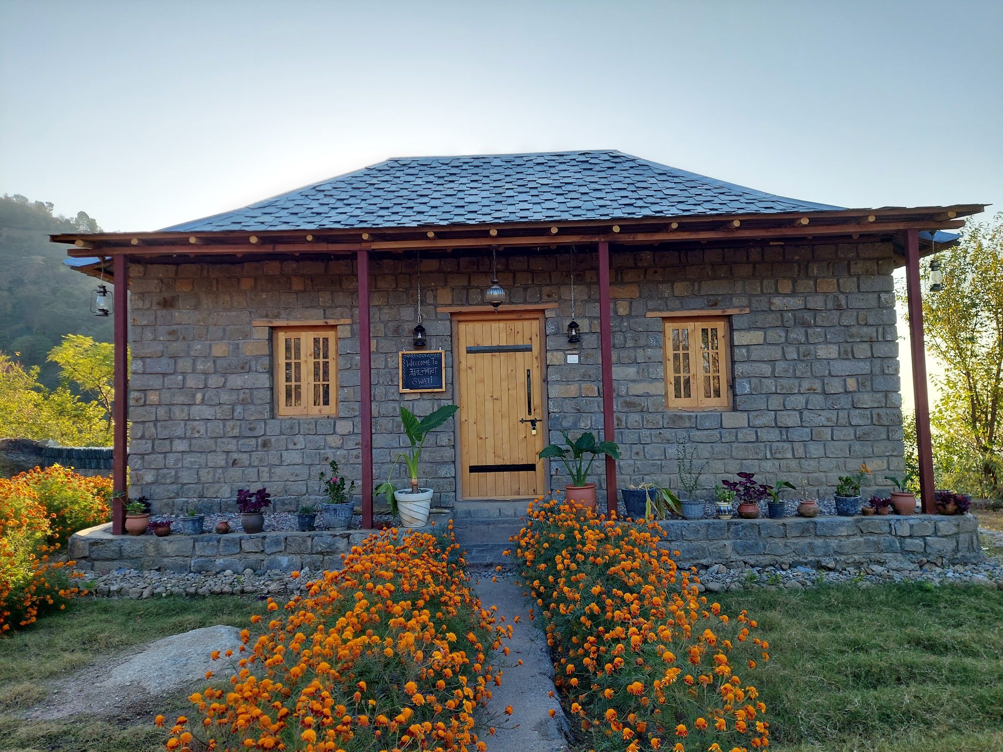
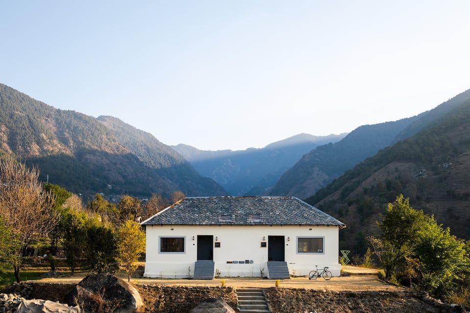
Finding the right base allows you to experience the dramatic views of the Dhauladhar Range while enjoying the quiet charm of the surrounding countryside. Foothill towns such as Palampur, Dharamkot, and small hamlets across the Kangra Valley offer diverse accommodations, ranging from rustic stone cottages surrounded by pine forests to traditional homestays run by local families.
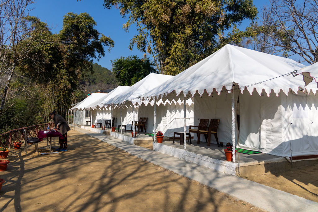
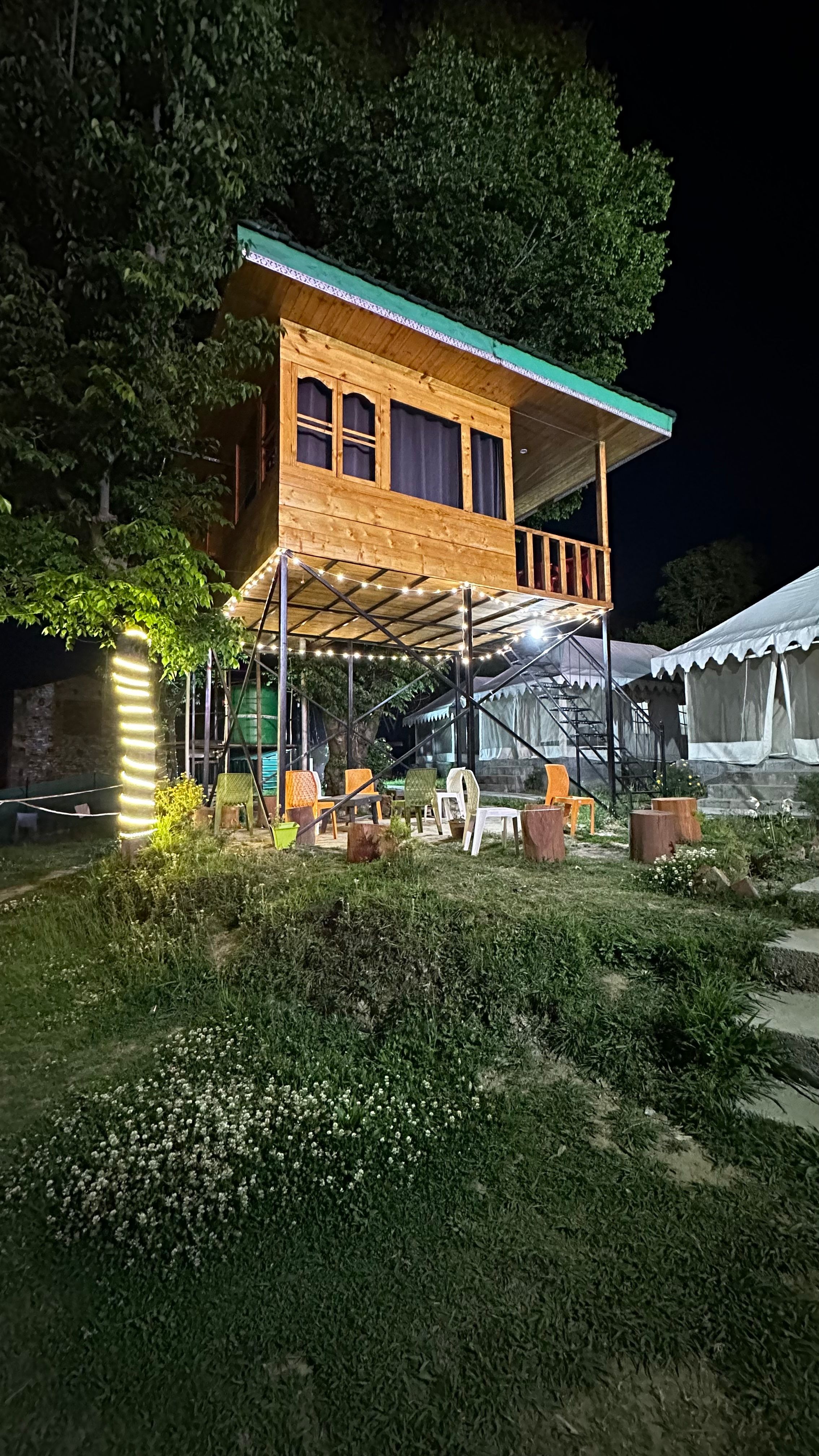
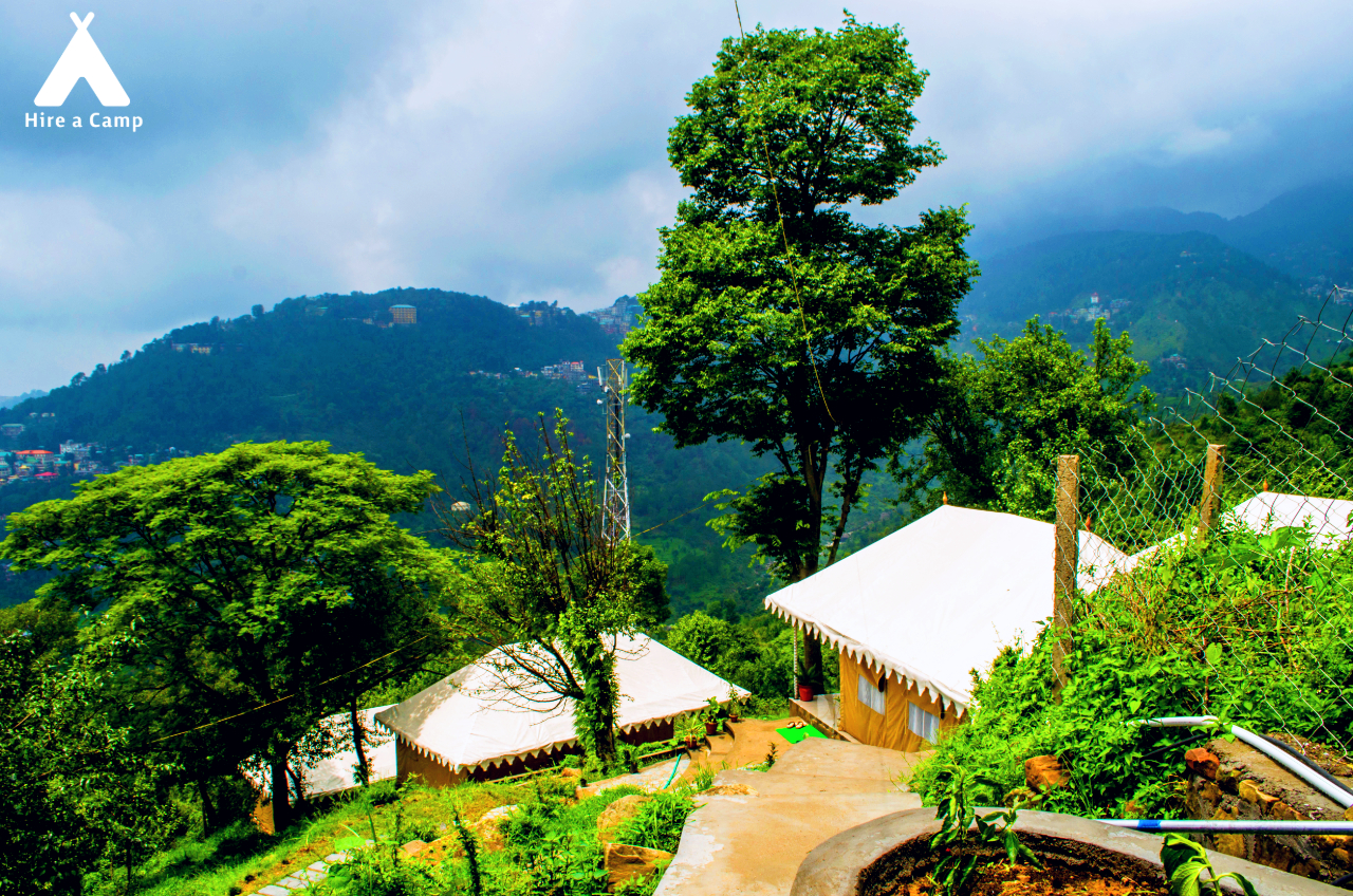
For outdoor enthusiasts who wish to wake up right beneath the towering granite walls, riverside campsites and trailside tents are available in the upper valleys and ridge pastures. You can explore and book a curated selection of homestays, nature retreats, and eco-friendly campsites near the Dhauladhar Range on HireACamp.
Frequently asked questions
Where is the Dhauladhar Range located?
The Dhauladhar Range is situated in the outer Himalayas of Himachal Pradesh, rising directly behind the Kangra Valley and towns like Palampur, Dharamshala, and McLeod Ganj.
Can beginners go trekking in the Dhauladhar Range?
Yes, the foothills offer many gentle day hikes, village walks, and tea estate trails that are suitable for beginners. Higher-altitude trails and pass crossings require good physical fitness and proper mountain guidance.
What is the best time of year to see snow on the peaks?
The high peaks are heavily snow-capped throughout the winter and early spring, generally from December through April. During deep winter, snow can also fall on the intermediate ridges and upper hill stations.
Which towns offer the closest views of the Dhauladhar peaks?
Palampur, Dharamshala, McLeod Ganj, and Dharamkot provide some of the closest and most dramatic views of the rising granite peaks directly from the town streets and nearby trails.
Where you'll be
Himachal Pradesh · 7 stays nearby shown with prices
Stays near Dhauladhar Range
Book a place to stay close by
More places near Dhauladhar Range
Within 20 km


Built from 0 Instagram posts by 0 creators. Every tip links back to the post it came from, and where creators disagree we show both sides.






