
Ettina Bhuja
Peak near Bhairapur
1.7 km from Bhairapur
The nearest town, for stays, food and fuel.
Ettina Bhuja is a prominent mountain peak in Mudigere taluk of Chikkamagaluru district, Karnataka, rising above the dramatic contours of the Charmadi Ghats. Named after its striking resemblance to the hump of an ox, the peak is a favourite destination for hikers seeking open ridge walks, shola woodlands, and panoramic views of the Western Ghats. Visitors come to experience a refreshing day hike through diverse landscapes that transition from dense forest canopies to sweeping montane grasslands.
Getting there
By road
- From BhairapurNearest town3 min · 800 m
- From Mangaluru3 hr 5 min · 138 km
- From Mysuru4 hr 45 min · 189 km
- From Bengaluru6 hr 10 min · 299 km
Typical drive times without traffic. Stations and airports from OLA Maps; distances and typical drive times from OpenStreetMap (© OpenStreetMap contributors); notes from creators' Reels.
About Ettina Bhuja
Written with AI from map data and general knowledge. Check prices and timings locally before you go.
The landscape of Ettina Bhuja
Rising high amidst the rolling ridgelines of the Western Ghats, Ettina Bhuja gets its distinctive name from the Kannada phrase meaning ox's shoulder. From afar, the peak's imposing granite outcrop juts above the surrounding hills in a shape that clearly mimics the prominent hump of an Indian bullock. The surrounding slopes are characterized by a mosaic of tropical rainforest, evergreen shola patches, and undulating grassy expanses typical of the higher reaches of Chikkamagaluru.
The peak acts as a dramatic vantage point over the Charmadi Ghats. On clear days, visitors can gaze across sprawling valleys cloaked in coffee plantations, dense canopy cover, and adjoining ridges that roll toward the coastal plains of Dakshina Kannada. The microclimate here brings swirling mists and sudden breezes, creating an atmospheric environment that shifts from warm sunshine to cool mountain fog within minutes.
Trekking trail and terrain
The journey to Ettina Bhuja typically begins near the quiet village of Byrapura, nestled at the foothills in Mudigere taluk. Near the trail base sits an ancient temple, which serves as a natural assembly point for hikers heading toward the peak. From the initial stages, the path weaves through quiet forest tracks sheltered by tall tree canopies, where moss, ferns, and winding roots line the forest floor.
As you climb higher, the dense forest gives way to sweeping montane grasslands that stretch along the spine of the ridge. The wind picks up notably once you emerge onto the open meadow slopes. The final push involves scrambling up the rocky shoulder itself, which requires careful footing across uneven stones and exposed rock faces. The effort is rewarded at the summit with an uninterrupted view of the Western Ghats, nearby peaks like Jenukal Gudda, and the deep valleys below.
Read more
Best time to visit Ettina Bhuja
The experience at Ettina Bhuja changes dramatically with the seasons, making the post-monsoon and winter months the ideal window for hiking. From late September through February, the landscape is at its greenest, revived by the rains of the southwest monsoon. During this period, streams run clear, temperatures are pleasantly cool, and morning mist frequently blankets the valleys below in an expansive sea of clouds.
The peak monsoon season between June and August brings intense, relentless rainfall to Mudigere and the Charmadi belt. While the lush green scenery is at its absolute prime, trails become exceptionally slick, mountain streams swell, and leeches are abundant, making the hike demanding. The summer months from March to May bring warmer daytime temperatures and dry, golden grasslands, so hikers venturing out then should start early in the morning to avoid the heat.
How to reach Ettina Bhuja
Ettina Bhuja is located in the Mudigere taluk of Chikkamagaluru district in southern Karnataka. The closest road junctions and transit hubs are Mudigere, Sakleshpur, and Belthangady. For those travelling from Bengaluru, the road route generally passes through Hassan and Mudigere before branching onto regional roads toward Byrapura, covering an approximate distance that takes around five to six hours by car under normal traffic conditions.
Travellers arriving from Mangaluru can drive inland via the dramatic switchbacks of Charmadi Ghat toward Mudigere, a journey of approximately three hours. The nearest major railway stations are located in Sakleshpur, Hassan, and Mangaluru, while Mangaluru International Airport serves as the closest air connectivity hub. From these transport centres, hiring a private taxi or boarding state transport buses to Mudigere or nearby villages is the simplest way to reach the trail base.
Tips for your hike
Because Ettina Bhuja is a natural mountain trail without commercial stalls or facilities along the route, self-reliance is essential. Hikers should carry sufficient drinking water and light, energy-dense snacks, as there are no shops once you leave the base settlement. Sturdy trekking shoes with dependable grip are indispensable, particularly for navigating loose gravel on the grass slopes and negotiating the final rocky scramble.
During and immediately after the monsoon season, leeches are common in the forested sections, so carrying salt or leech socks is recommended. A lightweight windcheater or rain jacket will help you stay comfortable against sudden gusts and mountain showers. Hikers should aim to start the ascent early in the day to reach the summit before midday and ensure a return to the base well before twilight. Always check locally with forest authorities or village residents regarding current trail conditions and regulations before starting out.
Places to visit around Ettina Bhuja
The surrounding region of Mudigere and the neighbouring borderlands of Dakshina Kannada offer an array of scenic and cultural sites. Driving across the nearby Charmadi Ghat offers remarkable roadside views, deep ravines, and roadside viewpoints like Kode Kallu. Waterfall enthusiasts can stop by Alekan Waterfalls along the mountain highway or plan visits to more secluded cataracts such as Bandaje Arbi and Ermayi Waterfalls set deeper in the hills.
For those interested in historical exploration, the ancient stone ramparts of Ballalarayana Durga Fort rest on an adjacent ridge overlooking sweeping valleys. Across the ghats lies the prominent pilgrimage town of Dharmasthala, home to the revered Sri Kshetra Dharmasthala Manjunatha Swamy Temple and the towering monolithic statue of Shri Bhagwan Bahubali. Visitors can also spend peaceful time along the upper reaches of the Netravathi River or explore the surrounding coffee country.
Where to stay near Ettina Bhuja
Mudigere taluk and the surrounding hills are renowned for their sprawling coffee estates and quiet rural villages, offering travellers a relaxed base in nature. Staying amidst a working plantation or in a village setting provides easy early-morning access to the hiking trails while letting you experience local Malnad hospitality and regional cuisine.
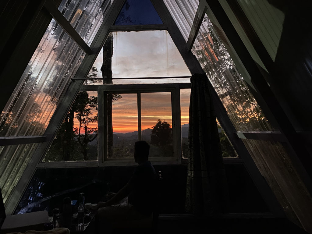
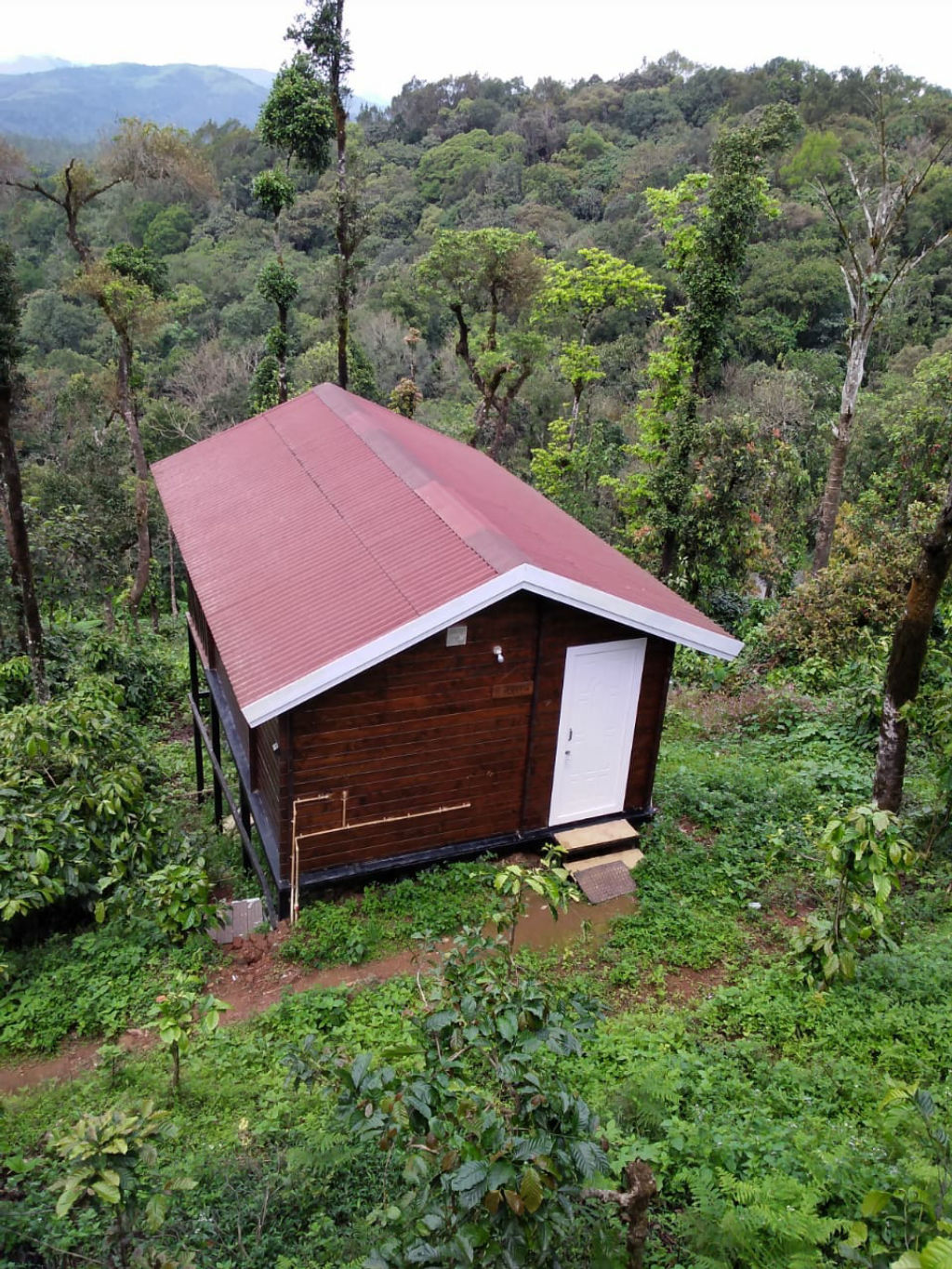
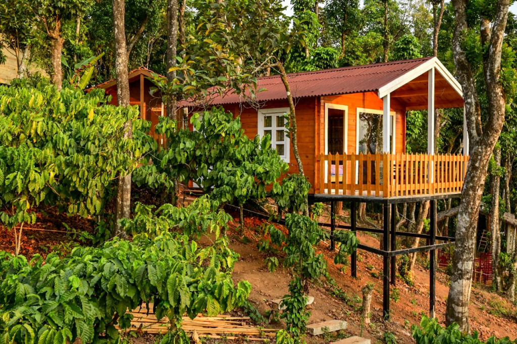
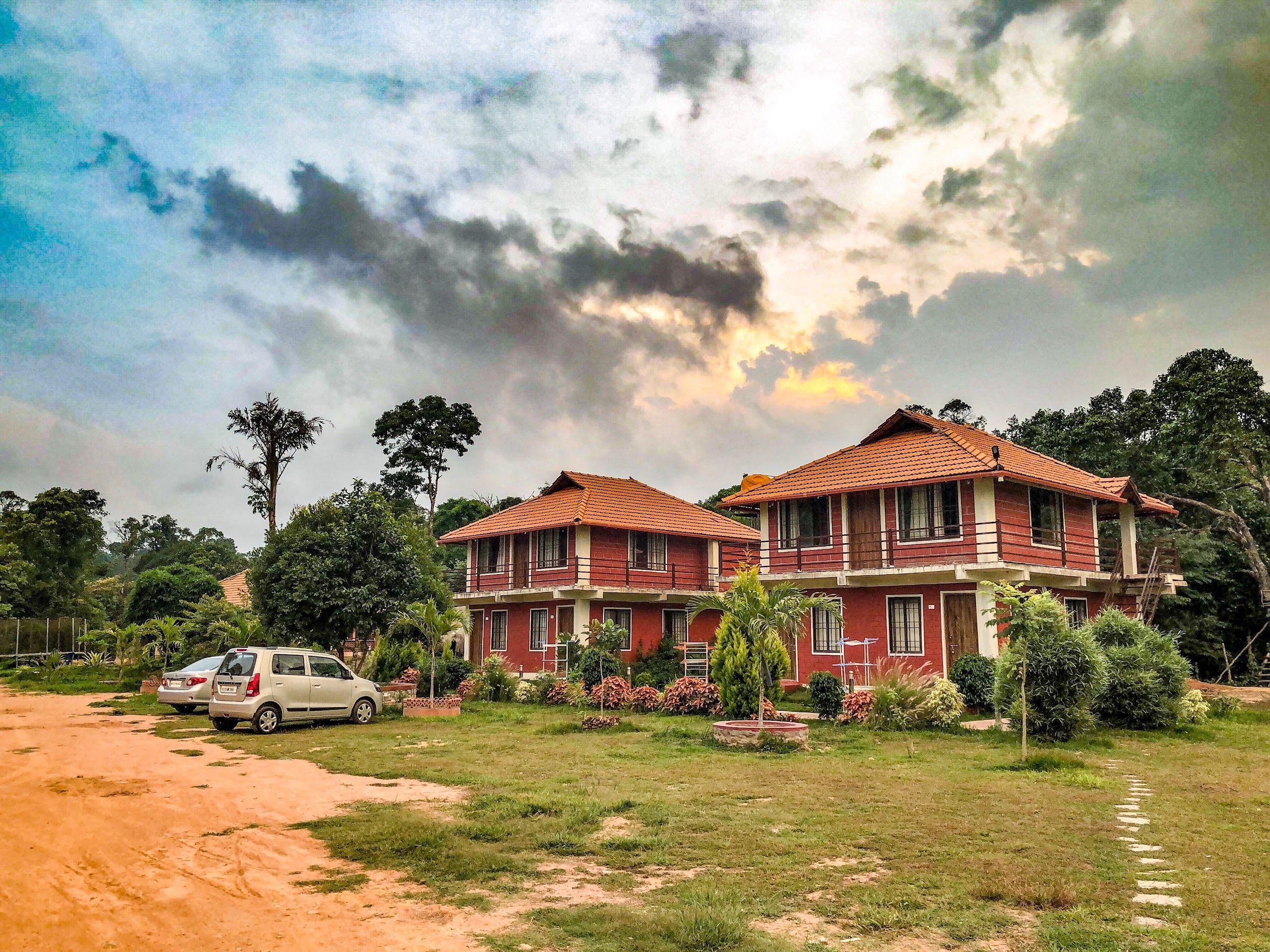
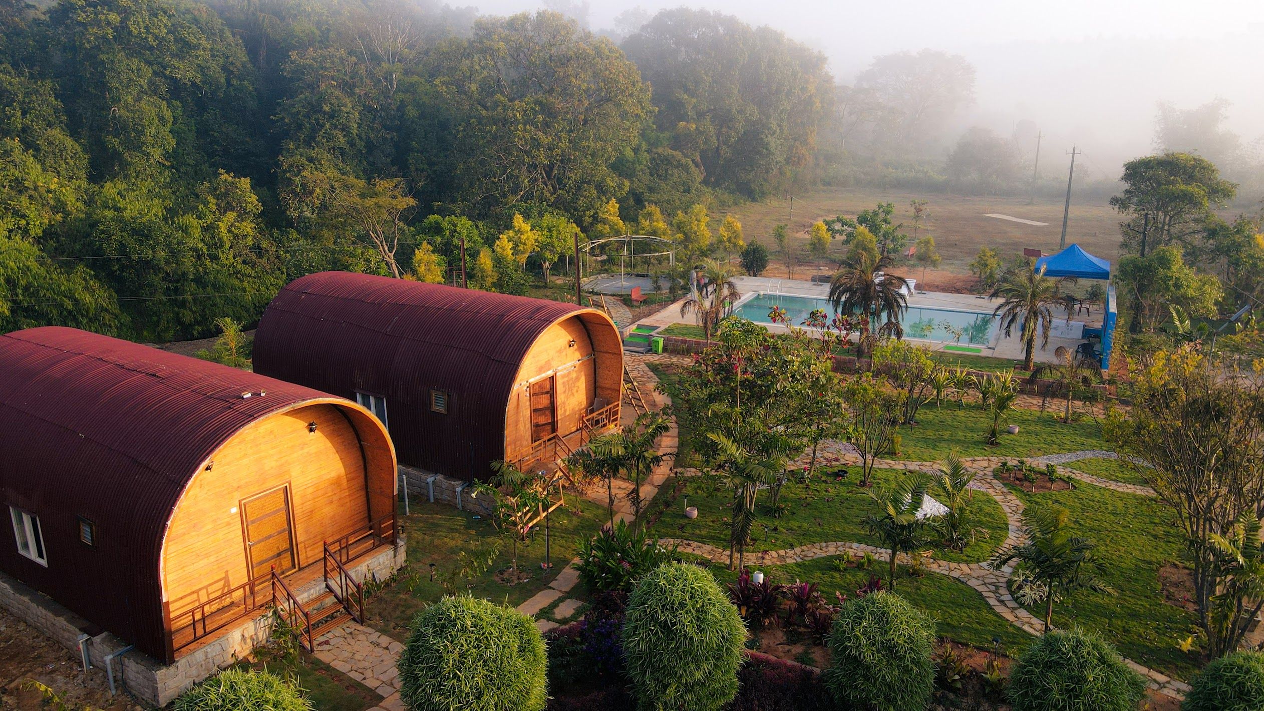
A variety of rustic campsites, quiet homestays, and nature properties are scattered throughout Mudigere, the foothills of Charmadi Ghat, and nearby Sakleshpur. To browse verified outdoor stays, farm stays, and riverside camping options in this region, explore the selections available on HireACamp.
Frequently asked questions
How difficult is the Ettina Bhuja trek?
The trek is generally considered moderate, beginning with a steady forest walk followed by an open grassland trail. The final stretch requires a brief and steep rock scramble to reach the summit, which demands cautious footing.
Do I need a permit to hike Ettina Bhuja?
Trail regulations and permissions can vary depending on local forest department guidelines and seasonal restrictions. It is best to check locally at the base village or with forest authorities before setting out.
How long does the Ettina Bhuja hike take?
The hike to the summit typically takes between two to three hours from the base, depending on your pace. Planning around four to five hours for the complete round trip allows ample time to rest at the top and descend safely.
Are there food and water facilities along the trail?
There are no shops, food stalls, or guaranteed drinking water sources along the trail. Hikers must carry their own water bottles and pack light snacks from the base village or nearby towns.
Is Ettina Bhuja accessible during the monsoon?
The trail is accessible during the monsoon, but heavy rainfall makes the path very slippery and leeches are common in the forest. Hikers visiting between June and August should have proper waterproof gear, traction footwear, and leech protection.
Where you'll be
Mudigere taluk, KA · 5 stays nearby shown with prices
Stays near Ettina Bhuja
Book a place to stay close by
More places near Ettina Bhuja
Within 20 km


Built from 0 Instagram posts by 0 creators. Every tip links back to the post it came from, and where creators disagree we show both sides.






